The best walks and hikes around Moussy-Verneuil
4.3
(441)
1,705
hikers
108
hikes
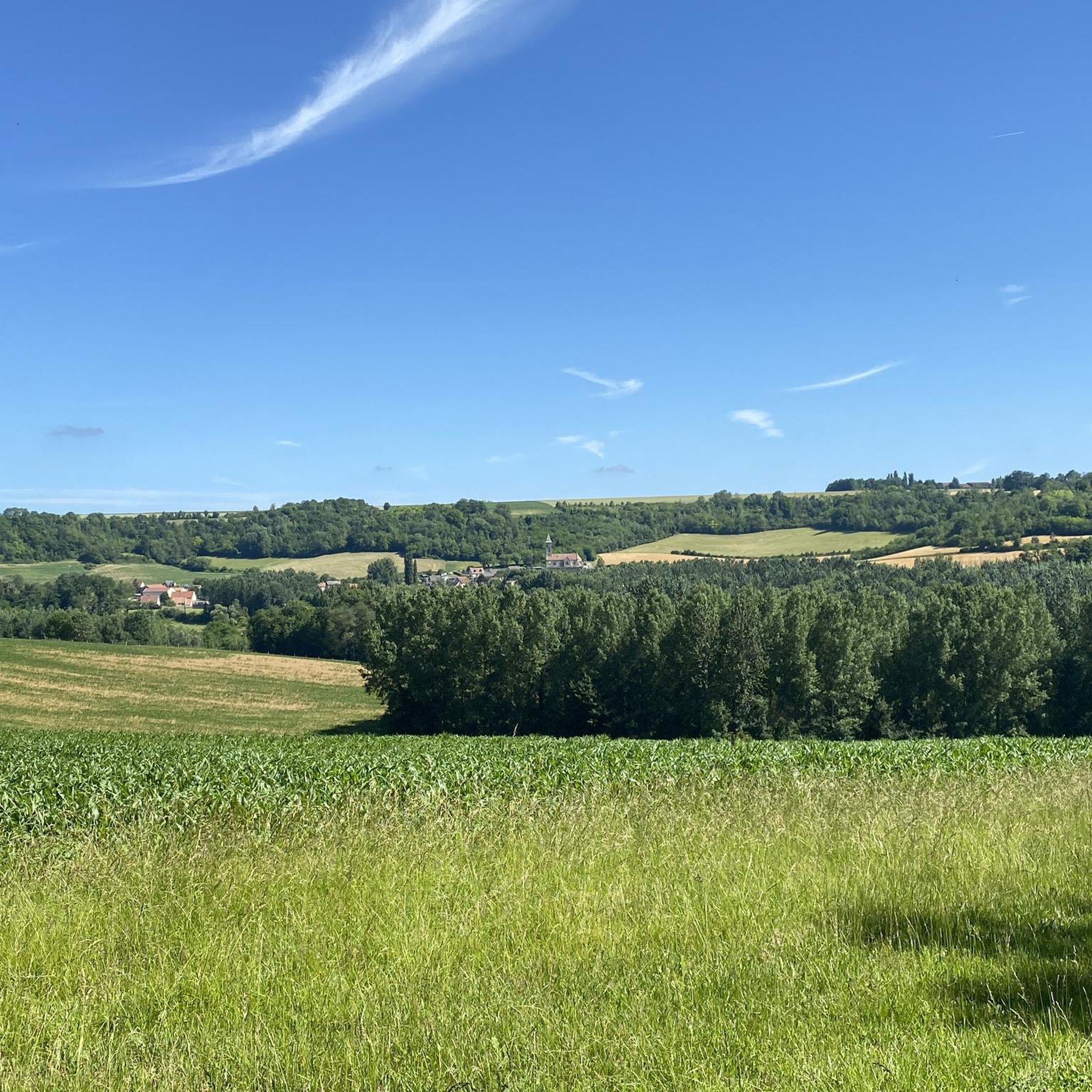
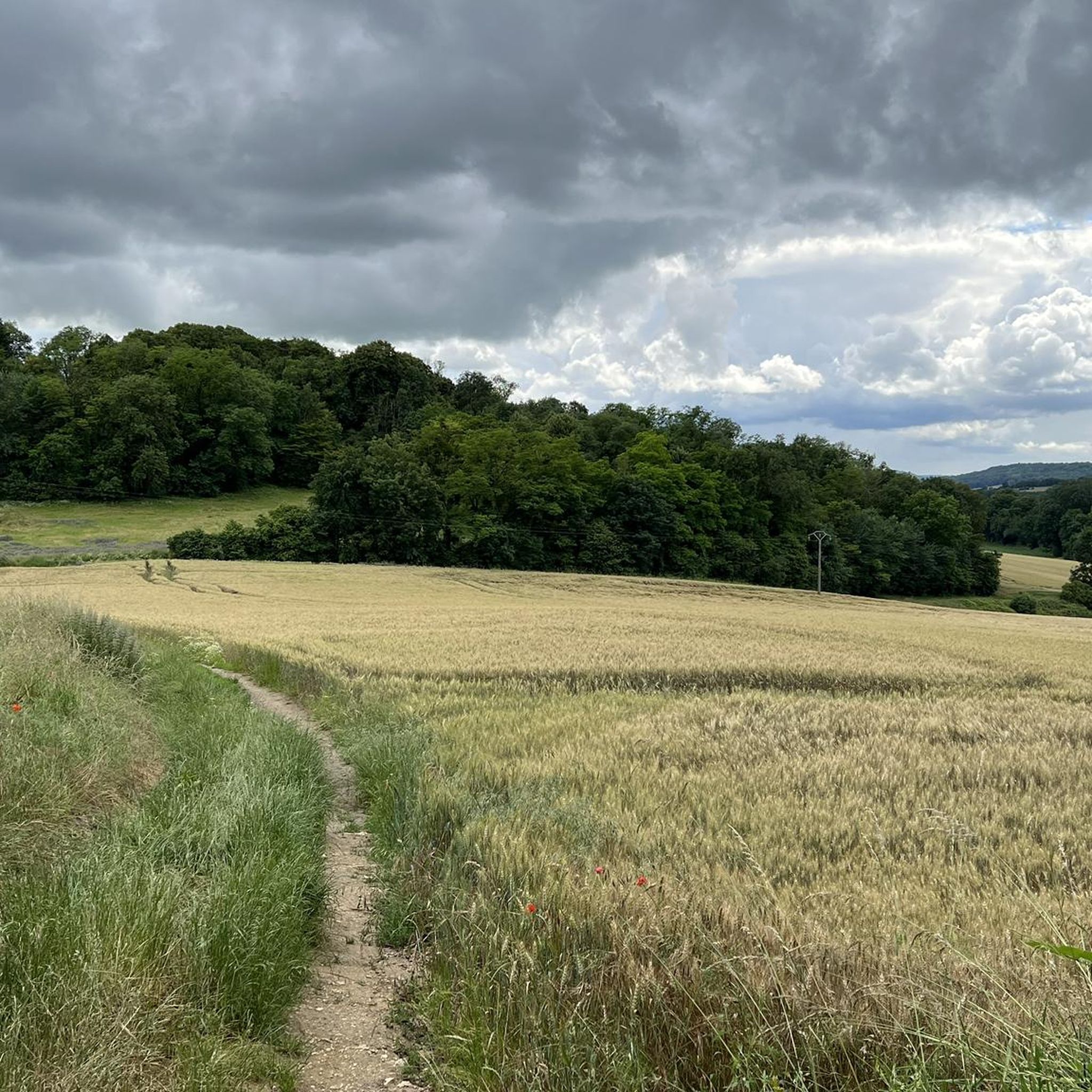
Hiking around Moussy-Verneuil offers diverse terrain within the Aisne department, characterized by an altitude ranging from 44 to 160 meters. The landscape features a mix of lush forests, expansive plains, serene prairies, and wetlands. Hikers can encounter unique geological formations like sandstone blocks in wooded areas, and explore routes along the Aisne river and its canals. The region also includes historical sites such as the 17th-century Château de Moussy-Verneuil and ancient troglodyte villages.
Best hiking trails around Moussy-Verneuil
- The most…
Last updated: July 5, 2026
4.6
(9)
35
hikers
Moderate hike. Good fitness required. Easily-accessible paths. Suitable for all skill levels.
4.7
(7)
8
hikers
13.0km
03:37
240m
250m
Moderate hike. Good fitness required. Easily-accessible paths. Suitable for all skill levels.

Sign up for free
4.5
(2)
6
hikers
9.15km
02:29
130m
130m
Moderate hike. Good fitness required. Easily-accessible paths. Suitable for all skill levels.
2
hikers
5.64km
01:33
100m
100m
Easy hike. Great for any fitness level. Easily-accessible paths. Suitable for all skill levels.
4.7
(3)
4
hikers
Easy hike. Great for any fitness level. Easily-accessible paths. Suitable for all skill levels.
Get access to more routes and recommendations from other explorers.
Sign up for free
Already have an account?
Our route recommendations are based on thousands of hikes, rides, and runs completed by other people on komoot.
Start today with a free account
Your next adventure awaits.
Login or Signup

Tips from the Community

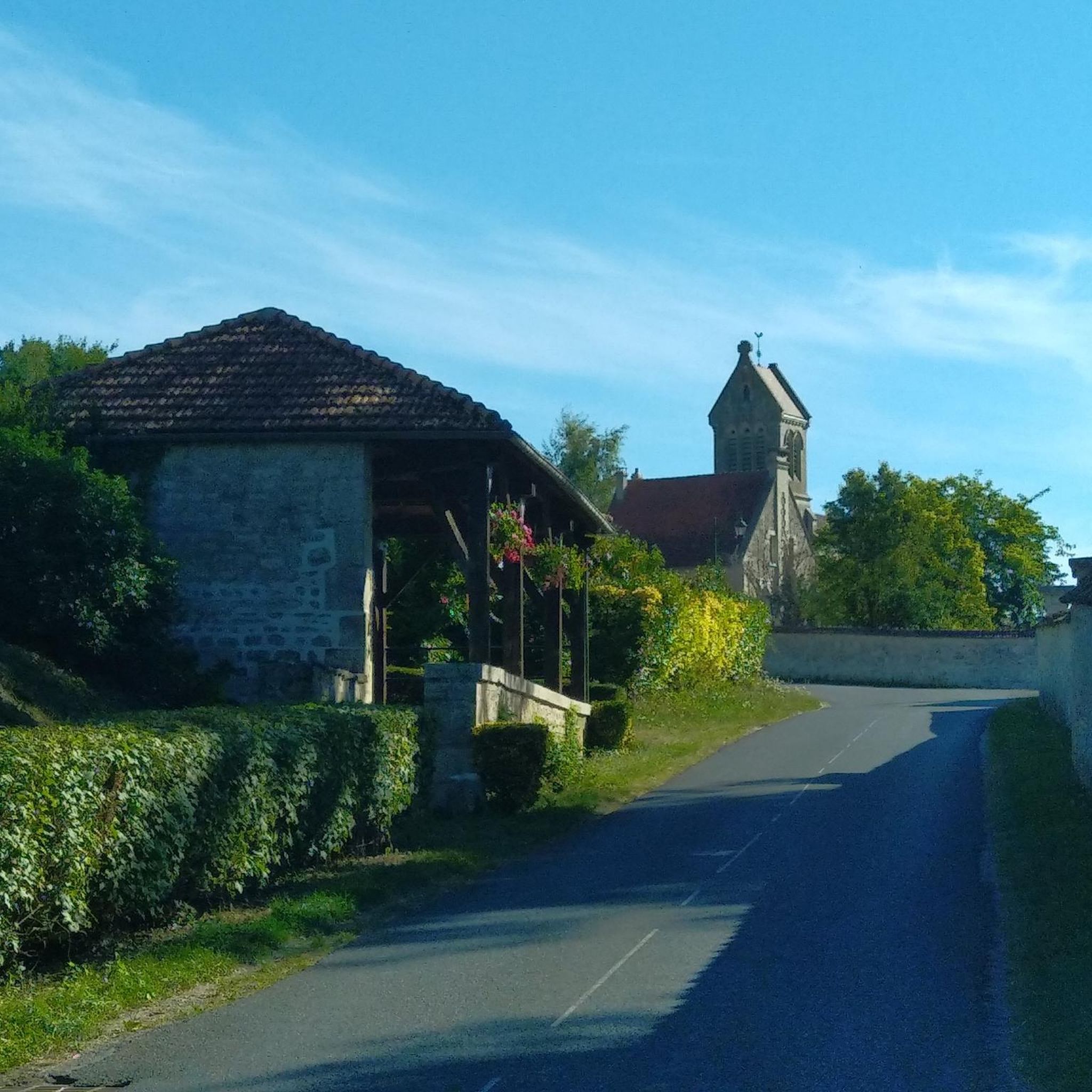
Paissy is landlocked at the bottom of a valley. Its single street forms an arc. The village is known for its cave dwellings. The dwellings are sometimes enclosed in creutes, small caves which are maintained all year round at a suitable temperature. It is very pleasant to walk there.
1
0
Paissy is landlocked at the bottom of a valley. Its only street forms an arc of a circle. The village is known for its cave dwellings. The dwellings are sometimes enclosed in creutes, small caves which are maintained all year round at a suitable temperature. It is very pleasant to walk there.
0
0

Beautiful very large cave (be careful, you get lost quickly)
0
0
Frequently Asked Questions
How many hiking trails are available around Moussy-Verneuil?
There are over 100 hiking routes in the Moussy-Verneuil area, catering to various preferences. You'll find a mix of easy strolls, moderate day hikes, and a few more challenging options.
What types of landscapes can I expect to see while hiking in Moussy-Verneuil?
The region offers a diverse landscape, including lush forests, expansive plains, serene prairies, and wetlands. You might encounter unique geological features like sandstone blocks in wooded areas, and scenic paths along the Aisne river and its canals. The southern part of Aisne also features vineyards, offering unique routes through agricultural settings.
Are there any easy hiking trails suitable for beginners or a relaxed walk?
Yes, Moussy-Verneuil has over 40 easy routes. A great option for a relaxed walk is Along the Canal latéral de l'Aisne — loop from Saint Mard, which offers flat paths alongside the canal.
What historical or cultural points of interest can I find along the trails?
The area is rich in history. You can explore routes that lead through ancient troglodyte villages, offering a glimpse into historical cave dwellings. The 17th-century Château de Moussy-Verneuil also adds a cultural dimension to the natural surroundings. Specific highlights include the Vauclair Abbey Ruins and the Ferme d'Hurtebise War Memorial.
Are there any circular hiking routes in Moussy-Verneuil?
Yes, many of the trails in Moussy-Verneuil are designed as loops. For example, the popular Paissy Troglodyte Village – Troglodyte Village of Paissy loop from Bourg-et-Comin offers a varied circular route through wooded areas and past historical dwellings.
What do other hikers say about the trails in Moussy-Verneuil?
The routes in Moussy-Verneuil are highly rated by the komoot community, with an average score of 4.3 stars from over 400 reviews. Hikers often praise the diverse terrain, the peaceful canal paths, and the unique historical sites like the troglodyte villages.
Can I find trails that pass through vineyards?
Yes, the southern part of Aisne, where Moussy-Verneuil is located, contributes to France's Champagne production. You can find unique routes that wind through these agricultural settings, offering picturesque views of the vineyards.
Are there any trails that feature water bodies like rivers or lakes?
Absolutely. The region is characterized by the presence of rivers, like the Aisne, and associated canals. Many trails offer scenic walks along these waterways, often referred to as 'paths of the lockkeepers'. You can also visit the Monks' Pond.
What is the typical elevation gain on hikes around Moussy-Verneuil?
The altitude in the Moussy-Verneuil area ranges from 44 to 160 meters. While some routes, like those along the canal, are relatively flat, others, especially those in the Chemin des Dames area, can feature more hilly terrain with panoramic ridges and valleys, offering moderate elevation changes.
Are there any specific trails that highlight the unique troglodyte villages?
Yes, the troglodyte villages are a significant feature of the region. A notable route is the Troglodyte Village of Paissy – Paissy Troglodyte Village loop from Paissy, which leads through rural landscapes and directly past these unique historical dwellings.
What kind of natural features can I expect to encounter on the trails?
Beyond forests and plains, you might discover unique geological formations such as random sandstone blocks in forests, similar to those found in the Hottée du Diable. The region's biodiversity is also rich, with varied flora and fauna across its diverse ecosystems.
Most popular routes around Moussy-Verneuil
Most popular attractions around Moussy-Verneuil

Get inspired with the komoot mobile app


Explore more
Browse the best Hikes in other regions.
