The best running trails around Weißenfels
4.4
(152)
1,348
runners
138
runs
Jogging routes around Weißenfels are set within the scenic Saale-Unstrut region, characterized by the meandering Saale River, gentle hills, and vineyards. The landscape offers a mix of riverside paths and elevated areas like Klemmberg, providing varied terrain for runners. Many routes feature well-maintained or paved surfaces, suitable for different fitness levels.
Best jogging routes around Weißenfels
- The most popular jogging route is Weißenfels Weir – Riverside Path Along the Saale loop from Weißenfels, a 4.7 miles (7.5 km) trail…
Last updated: July 4, 2026
4.7
(9)
161
runners
Hard run. Very good fitness required. Mostly paved surfaces. Suitable for all skill levels.
5.0
(1)
50
runners
Hard run. Very good fitness required. Mostly paved surfaces. Suitable for all skill levels.

Sign up for free
5.0
(2)
59
runners
Hard run. Very good fitness required. Mostly paved surfaces. Suitable for all skill levels.
5.0
(2)
41
runners
Hard run. Very good fitness required. Mostly paved surfaces. Suitable for all skill levels.
47
runners
Moderate run. Good fitness required. Mostly paved surfaces. Suitable for all skill levels.
Get access to more routes and recommendations from other explorers.
Sign up for free
Already have an account?
Our route recommendations are based on thousands of hikes, rides, and runs completed by other people on komoot.
Start today with a free account
Your next adventure awaits.
Login or Signup
Popular around Weißenfels
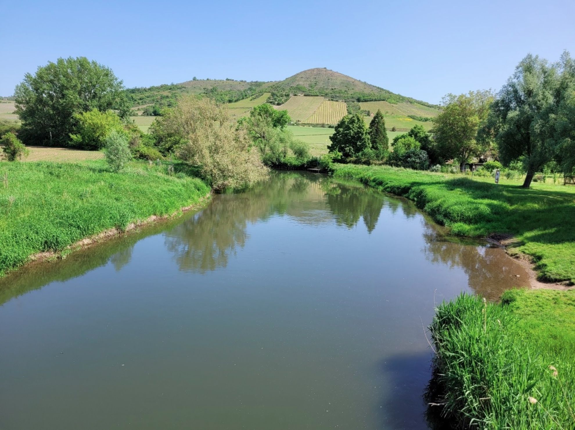
Weekend bike ride on Germany’s Saale and Unstrut cycle path
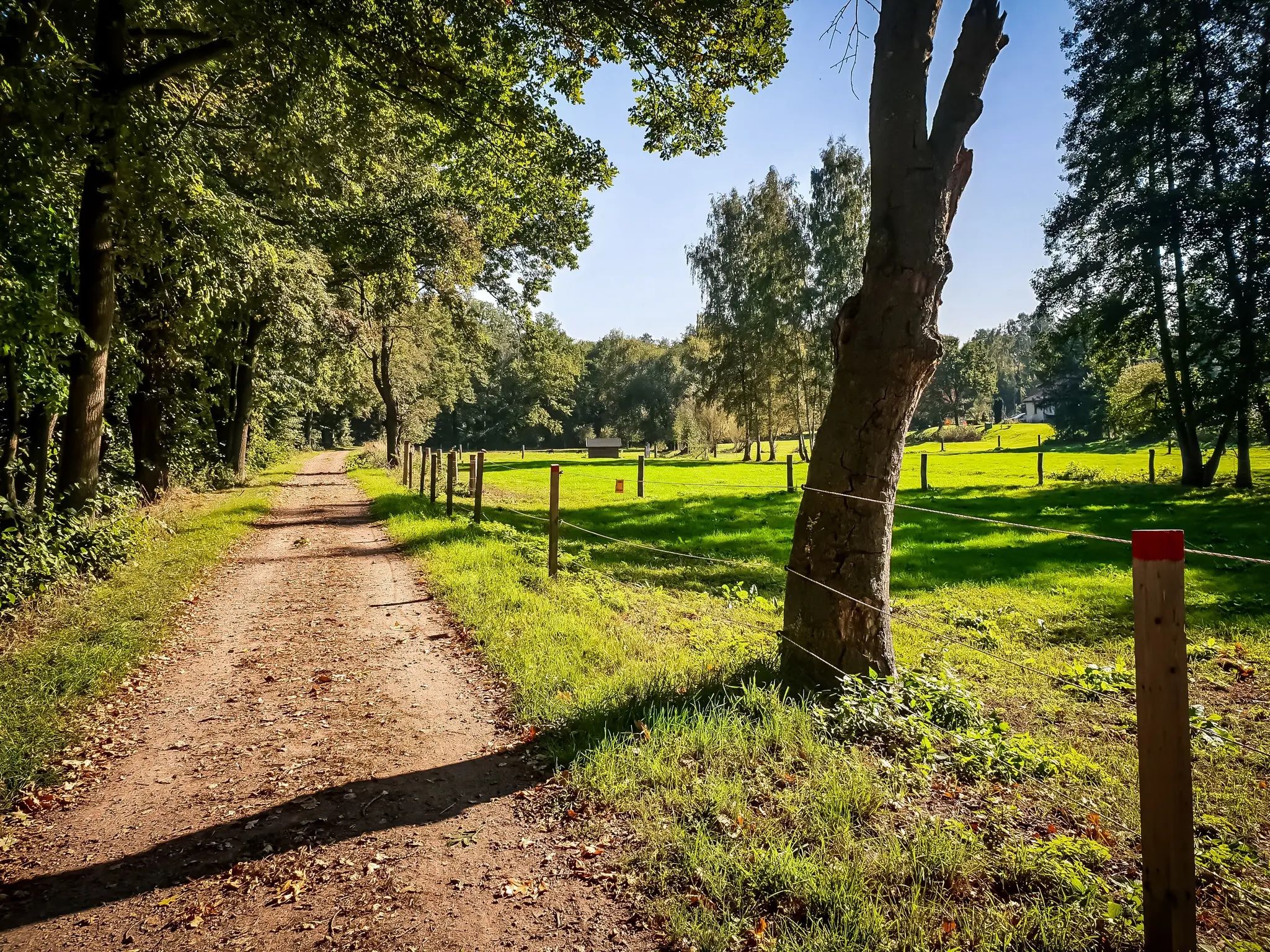
Out and about with the pram – hiking around Leipzig
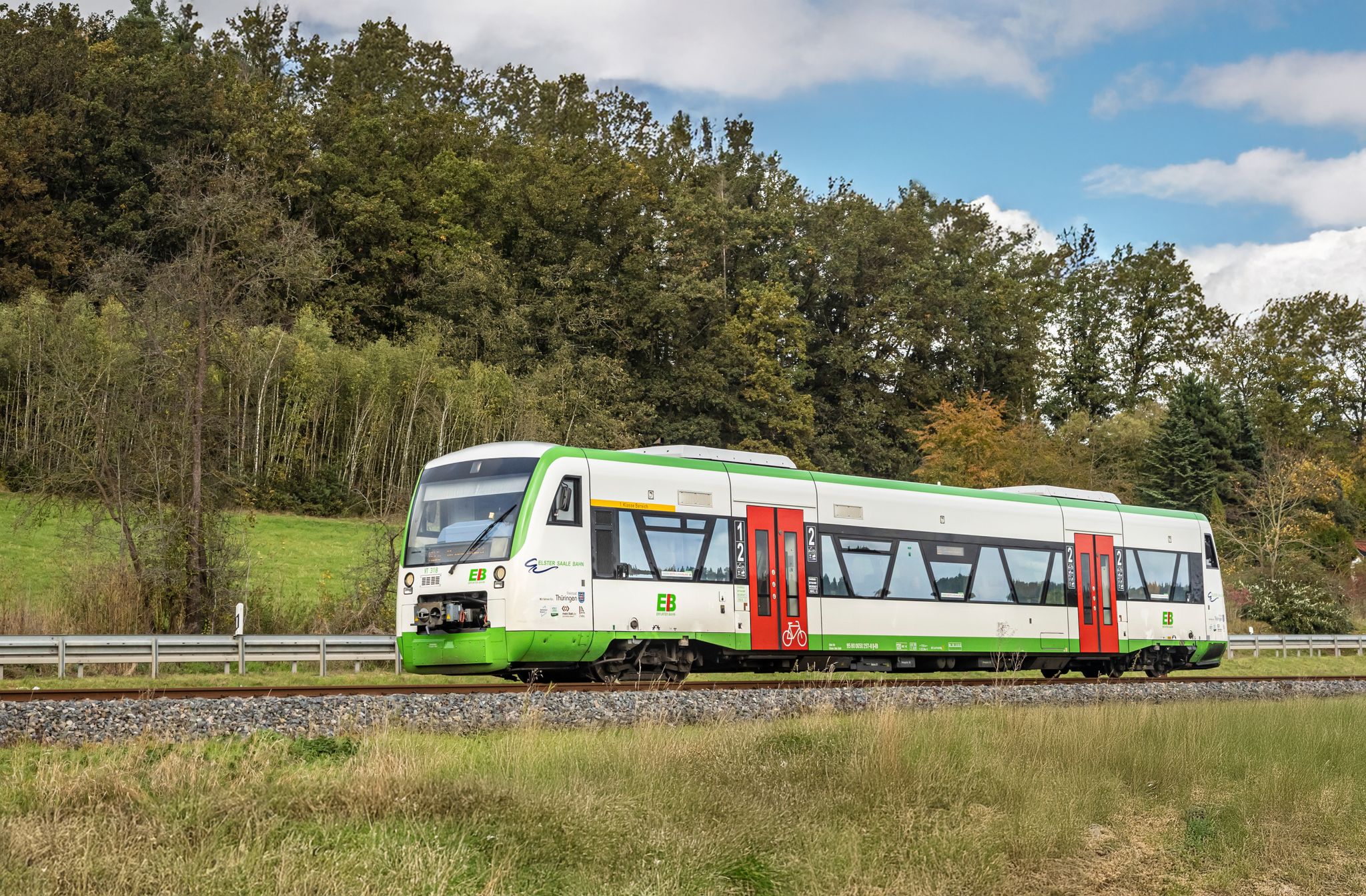
Zwischen Elster und Saale – Mit der RB 76 zu deiner Wanderung
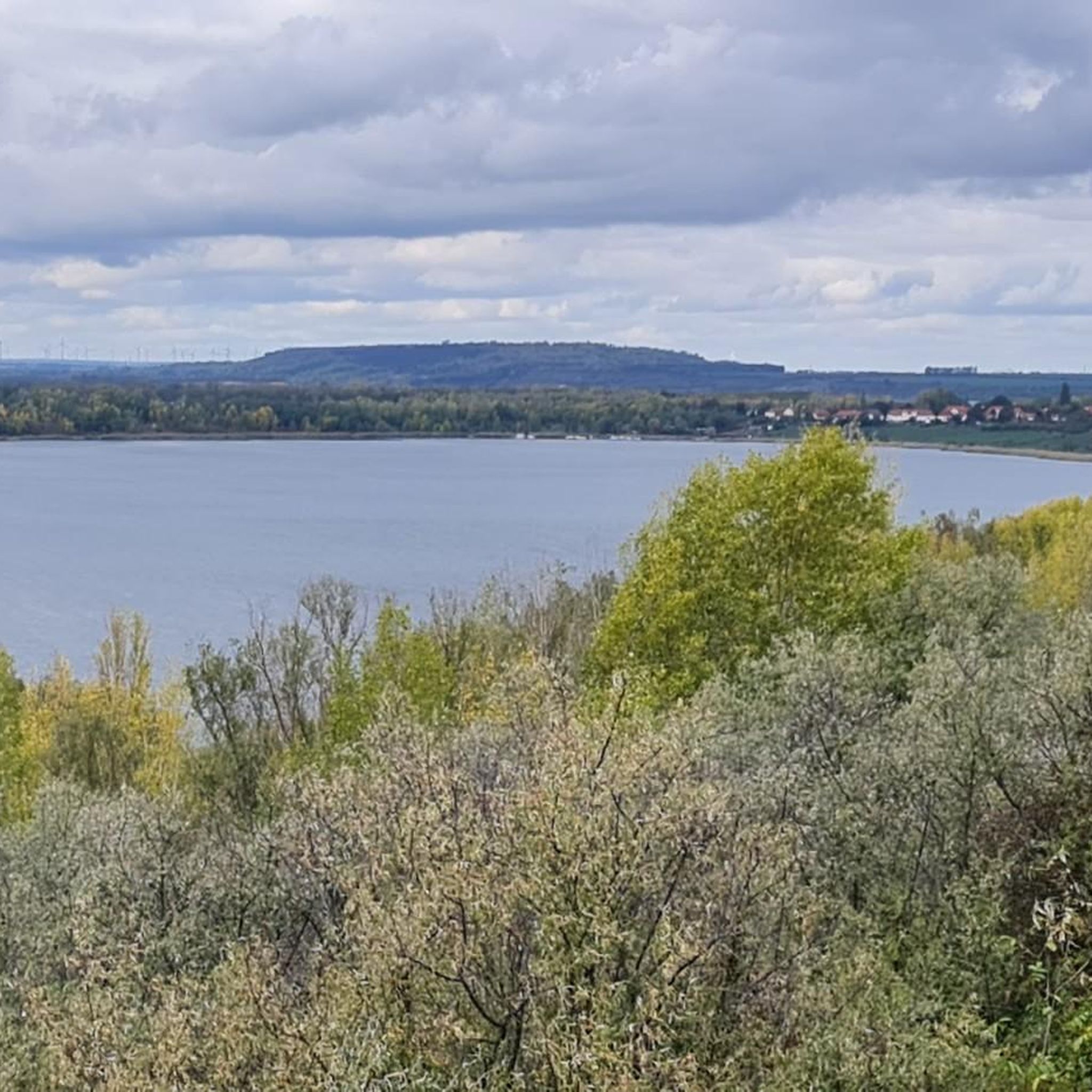
Cycling around Weißenfels
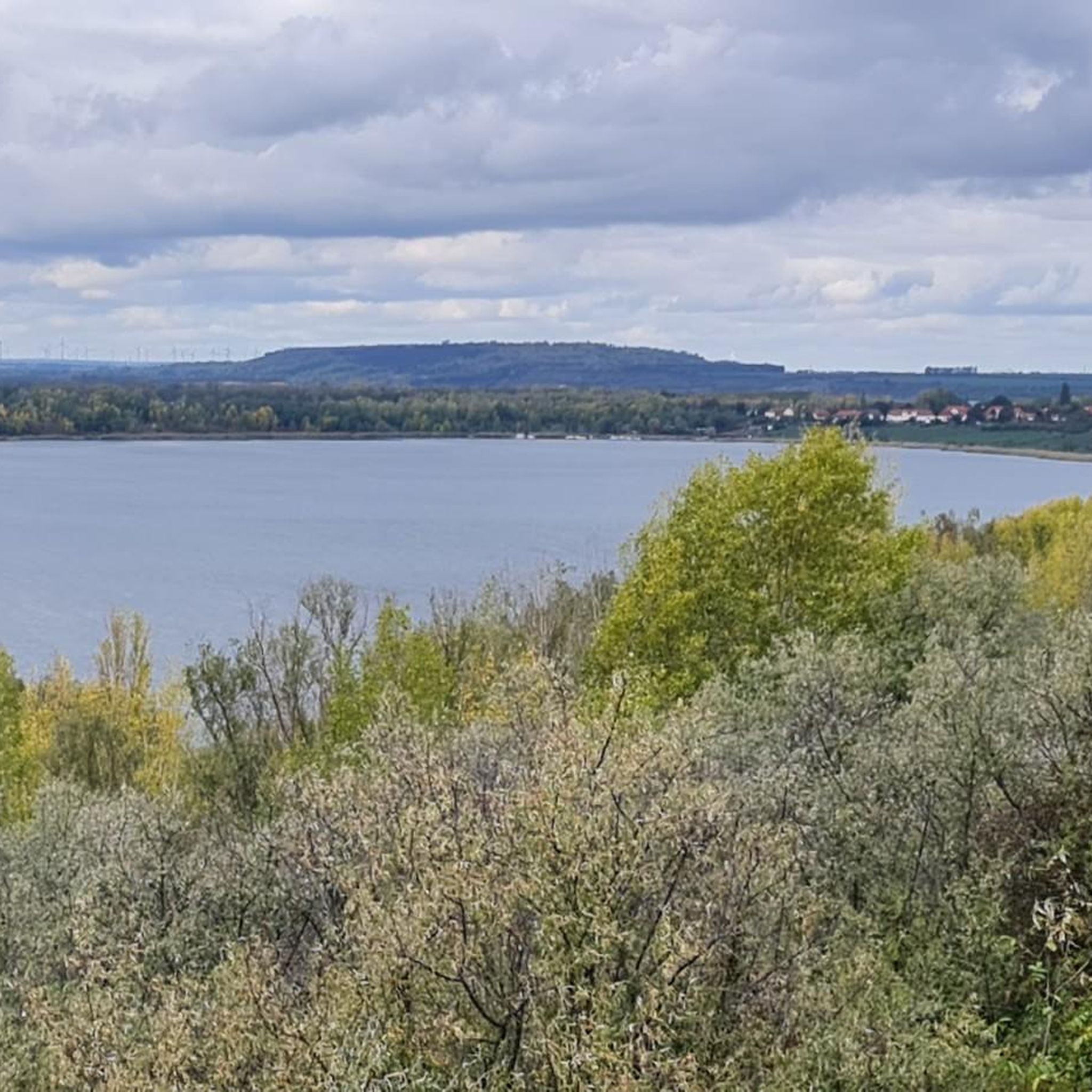
Hiking around Weißenfels
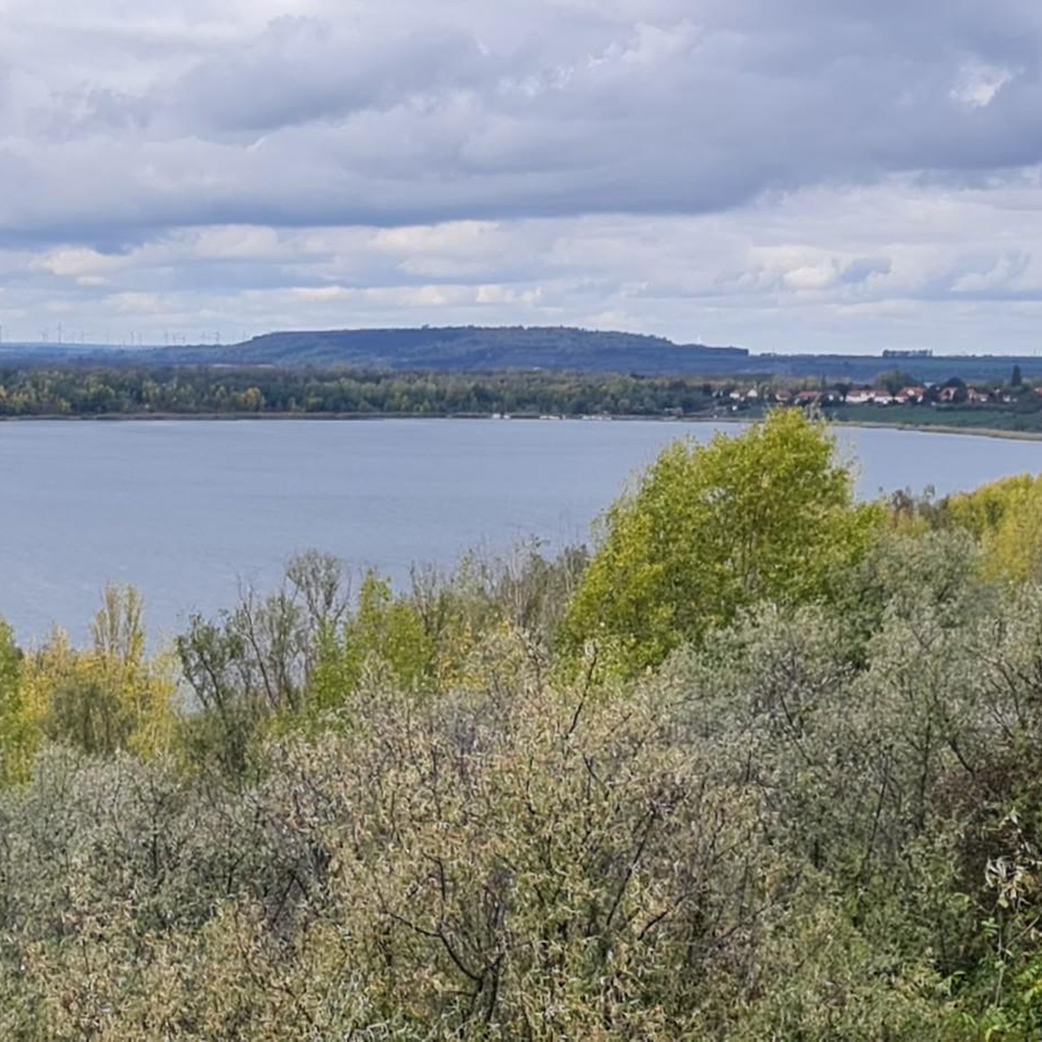
Road Cycling Routes around Weißenfels
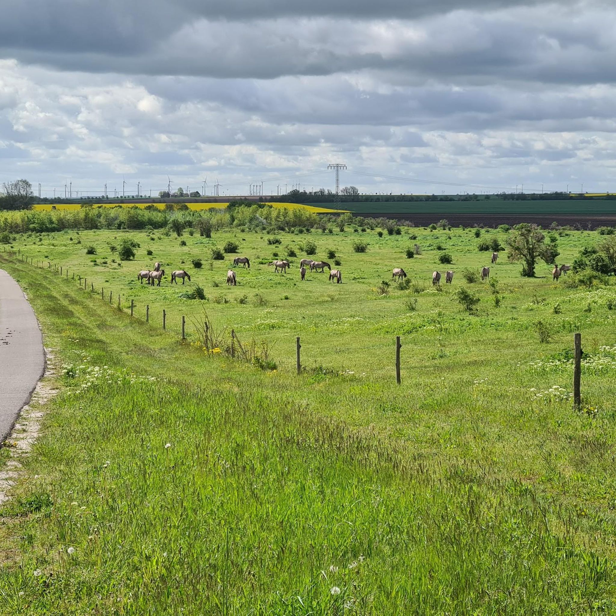
MTB Trails around Weißenfels

Gravel biking around Weißenfels
Other adventures around Weißenfels


Tips from the Community

Beautiful covered resting place for a short stop.
0
0

The Jüdenstraße in Weißenfels is a historic street in the old town, its name dating back to the medieval settlement of Jewish fellow citizens. Name and Origin: The name "Jüdenstraße" is a typical street name of the Middle Ages, referring to the residential area of the Jewish community. History: Jewish traces in Weißenfels go far back. In the Weißenfels region, there was already a Jewish community in the Middle Ages, which was temporarily destroyed by persecutions (such as during the time of the Black Death in the 14th century), but later re-emerged. Connection to the Jewish Community: The street was a center of Jewish life in the city. The community was also active in later centuries, which is reflected in the acquisition of a Jewish cemetery in 1883, which is now located in the general municipal cemetery. Change in the 20th Century: During the Nazi era, the Jewish residents of Weißenfels were deported and murdered. Historical Image: A well-known historical photo shows the street (or part of it) in 1975, at which time it was temporarily named Friedrich-Engels-Straße. Present: Today, the area around Jüdenstraße is an area that is being considered as part of urban development, with a focus on neighborhood development.
0
0
The Marienkirche in Weißenfels was first mentioned in a document in 1158 as the town church of the market settlement. The church was consecrated in 1351. The lower part of the tower is still preserved from this building, which resembled the church in Burgwerben. After a town fire in 1374, the tower was raised by the octagonal floors with edge bars. The medieval church building was destroyed in the Hussite Wars in 1430. The late Gothic church was rebuilt starting with the choir, which is decorated with rich decor in the Weichen Stil and dominates the market like a choir facade. Source and further information: https://de.wikipedia.org/wiki/St._Marien_(Wei%C3%9Fenfels)
0
0

A beautiful castle to look at and take pictures in. It's a pleasant place for a short rest. The castle houses a shoe museum and offers a wonderful view over Weißenfels.
1
0

This church is still well preserved.
3
0

Please keep the area clean👍🏻
0
1

... with additional seating options
6
0

- above the vineyard with a magnificent view - old tombstones available
6
0
Frequently Asked Questions
How many running routes are available around Weißenfels?
There are over 140 dedicated running routes around Weißenfels, offering a wide range of options for different fitness levels. These include 10 easy routes, 109 moderate routes, and 25 difficult trails, ensuring there's something for everyone.
Are there easy running paths suitable for beginners in Weißenfels?
Yes, Weißenfels offers several easy running paths perfect for beginners. Many of these follow the Saale River, providing mostly paved or well-maintained surfaces. A good example is the Weißenfels Weir – Riverside Path Along the Saale loop from Weißenfels, which is a moderate 4.7-mile (7.5 km) trail that is relatively flat and scenic.
What are some longer running routes for experienced joggers in the region?
For experienced runners seeking a challenge, Weißenfels has several longer and more difficult routes. The Großkaynaer See Loop – View of Südfeldsee loop from Reichardtswerben is a difficult 10.4-mile (16.7 km) path offering varied terrain around the lake. Another option is the Protestant Church Burgwerben – Riverside Path Along the Saale loop from Weißenfels, a 10.0-mile (16.1 km) trail through riverside landscapes.
Can I find circular running routes in the Weißenfels area?
Yes, many of the running routes around Weißenfels are designed as loops, allowing you to start and finish at the same point. Popular circular options include the Weißenfels Weir – Riverside Path Along the Saale loop from Weißenfels and the Großkaynaer See Loop – View of Südfeldsee loop from Reichardtswerben.
Are there running trails with scenic views in Weißenfels?
Absolutely. Weißenfels is situated in the picturesque Saale-Unstrut region, offering numerous routes with scenic views. You can enjoy the meandering Saale River along paths like the Ferry bridge over the Saale – Saale Cycle Path loop from Schleuse Herrenmühle. The rolling hills and vineyards, especially around areas like Klemmberg and the Ducal Vineyard below Neuenburg Castle, also provide stunning backdrops for your run.
What kind of terrain can I expect on the running trails around Weißenfels?
The running trails in Weißenfels offer a diverse range of terrain. You'll find many routes along the Saale River that are mostly paved or well-maintained, ideal for a smooth run. Other areas, particularly in the rolling hills and vineyards, provide more varied and challenging terrain, often with wider natural paths, such as those found on Klemmberg.
Are dogs allowed on the running routes around Weißenfels?
While specific regulations can vary by route, generally, dogs are welcome on many of the outdoor trails around Weißenfels, especially on the wider paths and riverside trails. It's always recommended to keep your dog on a leash and be mindful of other users and local wildlife.
Are there any interesting sights or landmarks to see while running in Weißenfels?
Yes, the region around Weißenfels is rich in natural beauty and historical landmarks. Many routes follow the Saale River, offering views of the water and surrounding landscapes. You can also find trails near the vineyards and hills, providing glimpses of the Saale-Unstrut wine region. For specific points of interest, consider exploring areas near Lake Großkaynaer or the Neumark observation tower at the Geiseltalsee pier. The Bismarck Tower on Klemmberg is also a popular excursion destination within a beautiful park setting.
What do other runners say about the trails in Weißenfels?
The running routes in Weißenfels are highly rated by the komoot community, with an average score of 4.4 stars from over 145 reviews. Runners often praise the variety of terrain, from gentle riverside paths to more challenging hilly sections, and the beautiful scenery of the Saale-Unstrut region. Over 1400 runners have used komoot to explore these diverse trails.
What is the best time of year to go running in Weißenfels?
Weißenfels offers great running opportunities throughout the year. Spring and autumn provide pleasant temperatures and vibrant scenery, with the vineyards changing colors. Summer is ideal for early morning or late evening runs along the cooler riverside paths. Even in winter, the illuminated outdoor fitness area in Neustadtpark and well-maintained paths can be suitable for jogging.
Are there any running routes that pass by the Saale River?
The Saale River is a central feature of Weißenfels, and many running routes follow its banks. These riverside paths are popular for their flat, scenic, and often paved surfaces. Examples include the Weißenfels Weir – Riverside Path Along the Saale loop from Weißenfels and the Protestant Church Burgwerben – Riverside Path Along the Saale loop from Weißenfels.
Where can I find parking near the running routes in Weißenfels?
Parking availability can vary depending on the specific starting point of your chosen route. For routes along the Saale River or near the city center, you can often find public parking facilities. For routes around lakes like Großkaynaer See, there are typically designated parking areas. It's advisable to check the specific route details on komoot for parking recommendations near the trailhead.
Most popular routes around Weißenfels
Most popular attractions around Weißenfels

Get inspired with the komoot mobile app


Explore more
Browse the best Running Trails & Routes in other regions.
