Easy hikes and walks around Weißenfels
4.5
(8749)
32,675
hikers
230
hikes
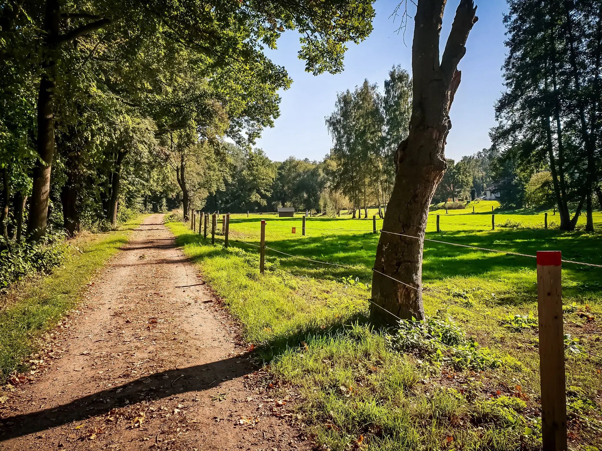
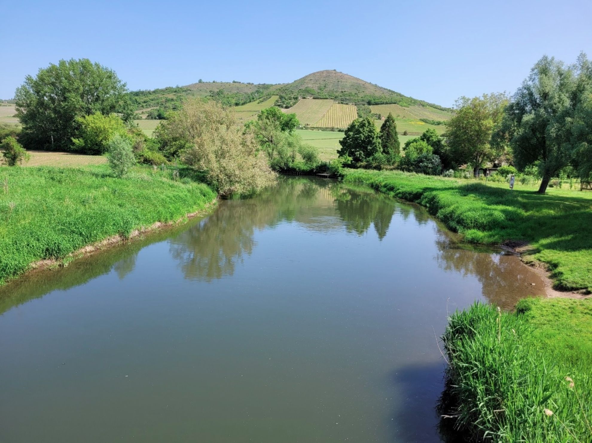
Easy hiking trails around Weißenfels traverse a landscape shaped by the Saale River and its surrounding rolling hills. The region features riverine paths, lush greenery, and vineyards, providing accessible routes. These natural features define the terrain, making it suitable for relaxed walks and family-friendly excursions.
Best easy hiking trails around Weißenfels
- The most popular easy hiking route is Saale Riverbank – Leissling Ferry Bridge loop from Leißling, a 3.5 miles (5.7 km) trail that takes 1 hour 26 minutes…
Last updated: August 24, 2026
5.0
(2)
47
hikers
5.68km
01:27
20m
20m
Easy hike. Great for any fitness level. Easily-accessible paths. Suitable for all skill levels.
4.7
(33)
97
hikers
6.95km
01:53
90m
90m
Easy hike. Great for any fitness level. Easily-accessible paths. Suitable for all skill levels.

Sign up for free
4.0
(2)
39
hikers
7.46km
01:53
10m
10m
Easy hike. Great for any fitness level. Easily-accessible paths. Suitable for all skill levels.
3.6
(5)
29
hikers
Easy hike. Great for any fitness level. Easily-accessible paths. Suitable for all skill levels.
4.0
(7)
27
hikers
Easy hike. Great for any fitness level. Easily-accessible paths. Suitable for all skill levels.
Get access to more routes and recommendations from other explorers.
Sign up for free
Already have an account?
Our route recommendations are based on thousands of hikes, rides, and runs completed by other people on komoot.
Start today with a free account
Your next adventure awaits.
Login or Signup

Other adventures around Weißenfels


Tips from the Community

The Oeblitz lock is located a bit upstream.
0
0
The lock was closed for some time, but has recently been back in operation. Please observe the lock times.
0
0
The modern ferry bridge replaces the former cable ferry and ensures that the route between Leißling and Lobitzsch will continue to exist in the future.
0
0
Between the trees, you can already see Goseck Castle. It's worth a visit, unfortunately it's only a bit steep uphill.
0
0
Nice covered resting place for a short stop right after or before the bridge.
0
0
Beautiful covered resting place for a short stop, also suitable for groups.
0
0
Beautiful covered rest area for a short stop.
0
0

A great tree, huge, very impressive 👍🏻
2
0
Frequently Asked Questions
How many easy hiking trails are available around Weißenfels?
Weißenfels offers a wide selection of easy hiking trails, with over 160 routes specifically categorized as easy. In total, there are more than 230 hiking routes in the area, catering to various preferences and activity levels.
What kind of landscape can I expect on easy hikes in Weißenfels?
The easy hikes in Weißenfels are characterized by the tranquil Saale River, rolling hills, and lush greenery. You'll find trails meandering alongside the riverbanks, through diverse deciduous and coniferous trees, and in some areas, past picturesque vineyards. The landscape provides a scenic and accessible backdrop for relaxed walks.
Are there easy circular hiking routes in Weißenfels?
Yes, many easy routes in Weißenfels are circular, allowing you to start and end at the same point. For example, the Saale Riverbank – Leissling Ferry Bridge loop from Leißling is a popular easy circular trail along the river. Another option is the Goseck Castle Tavern – Leissling Ferry Bridge loop from Leißling, which takes you through rolling hills and vineyards.
Can I find easy hikes along the Saale River?
Absolutely. The Saale River is a central feature of the region, and many easy trails follow its banks, offering picturesque views and opportunities to observe local wildlife. A great example is the Saale Riverbank – Leissling Ferry Bridge loop from Leißling, which meanders along the serene waterway.
Are the easy hiking trails in Weißenfels suitable for families with children?
Yes, Weißenfels offers many child-friendly and family-friendly excursions. The easy trails are generally well-suited for all ages, with minimal elevation gain and manageable distances, making them perfect for a leisurely family outing in nature.
What are some natural features or landmarks I might see on easy hikes?
Beyond the scenic Saale River and rolling hills, you might encounter diverse flora and fauna, including vibrant wildflowers. The broader region is known for its vineyards. While hiking, you can also find places to rest, such as the Shelter and rest area near Korbetha or the Shelter in Franzosental.
What do other hikers say about the easy trails in Weißenfels?
The easy hiking routes in Weißenfels are highly rated by the komoot community, with an average score of 4.6 stars from over 680 reviews. Hikers often praise the tranquil riverine paths, the scenic views of rolling hills and vineyards, and the accessibility of the trails for various fitness levels.
Are there any easy hikes that offer views of the Saale Valley?
Yes, several easy routes provide beautiful vistas of the Saale Valley. The View of the Saale Valley – Protestant Church Burgwerben loop from Burgwerben is a popular 3.8 km trail specifically designed to showcase these scenic views.
Is public transport available to reach easy hiking trailheads in Weißenfels?
Weißenfels has public transport options that can help you reach various starting points for hikes. While specific routes vary, the town's infrastructure generally supports access to the surrounding natural areas. It's advisable to check local bus or train schedules for the most convenient connections to your chosen trailhead.
Are there any easy hikes near historical sites or castles?
The region around Weißenfels is rich in history. While hiking, you might pass through areas with historical significance or near architectural landmarks. For instance, the Goseck Castle – Leißling Station loop from Leißling offers an easy route that brings you close to Goseck Castle, allowing you to combine nature with cultural heritage.
What is the best time of year for easy hikes in Weißenfels?
The easy hikes in Weißenfels can be enjoyed throughout much of the year. Spring and summer bring vibrant wildflowers and lush greenery, while autumn offers beautiful foliage. The mild terrain makes many trails accessible even in cooler months, though it's always good to check local conditions.
Are there places to rest or find shelter along the easy trails?
Yes, you can find various facilities along the trails for resting. Highlights include the Shelter and rest area near Korbetha and the Shelter in Franzosental. These spots provide convenient places to take a break and enjoy the surroundings.
Most popular routes around Weißenfels
Most popular attractions around Weißenfels

Get inspired with the komoot mobile app


Explore more
Browse the best Hikes in other regions.
