The best running trails around Hötensleben
4.2
(103)
1,032
runners
146
runs
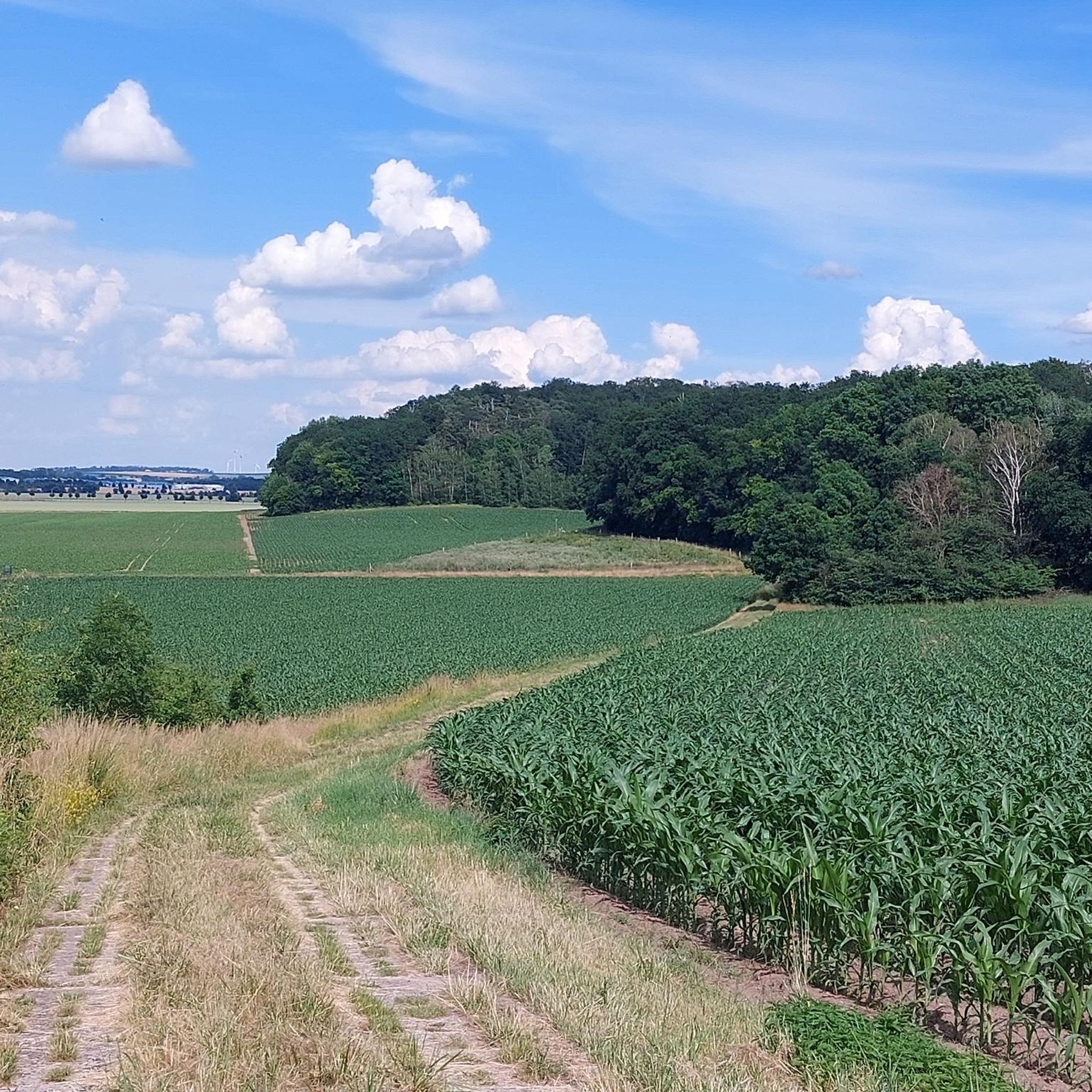
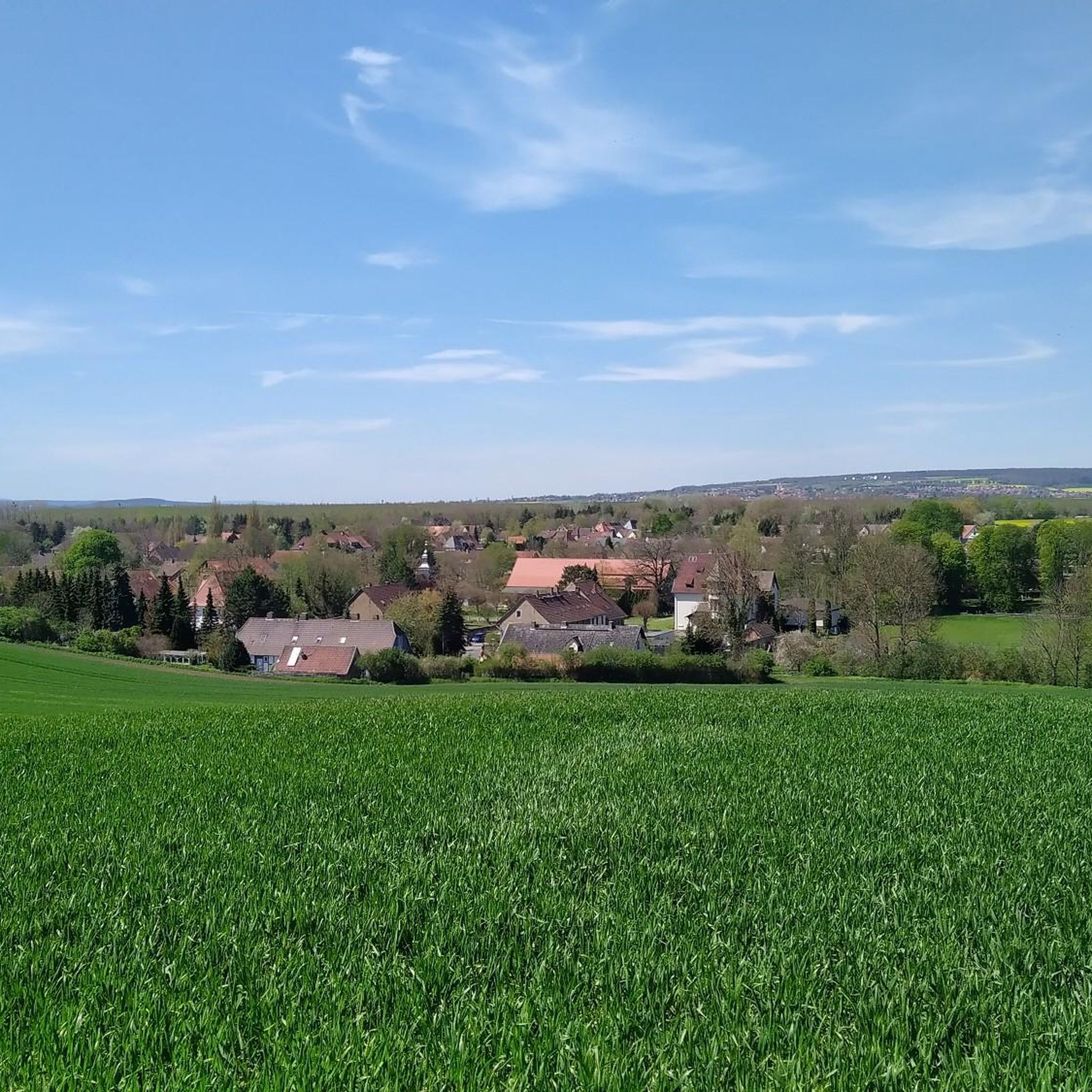
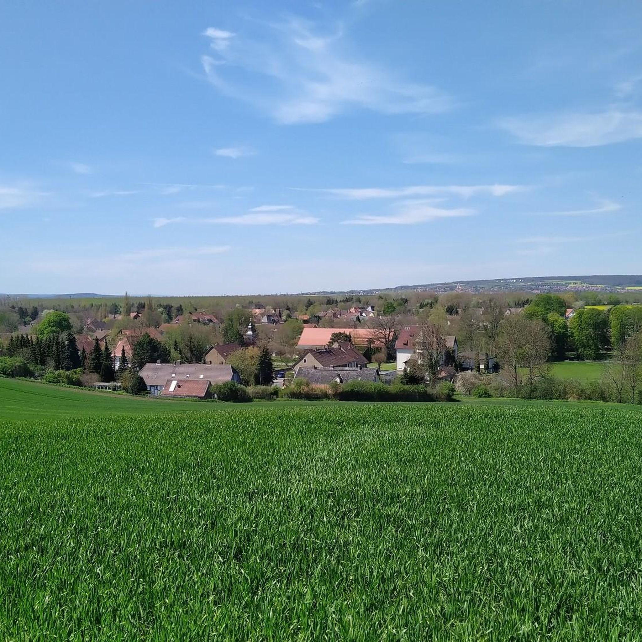
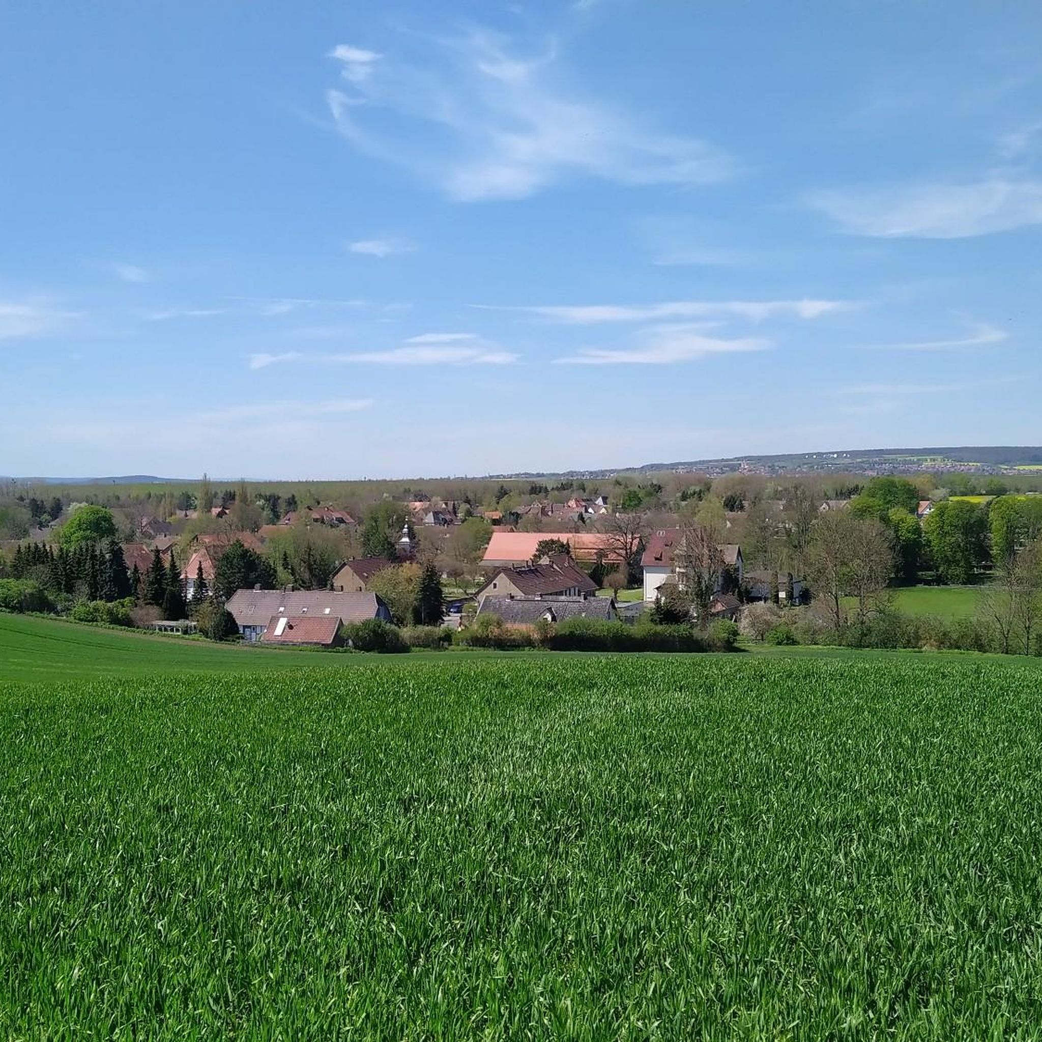
Jogging around Hötensleben offers diverse landscapes, primarily influenced by its proximity to the Elm-Lappwald Nature Park. The region features extensive forests, including the largest beech forest in North Germany, alongside varied terrain that includes undulating hills and agricultural loess depressions. This topography provides a mix of running surfaces, from shaded forest paths to more open landscapes and idyllic valleys.
Best jogging routes around Hötensleben
- The most popular jogging route is Running loop from Schöningen, a 3.5 miles (5.6 km)…
Last updated: June 27, 2026
5
runners
19.1km
02:01
140m
140m
Hard run. Very good fitness required. Mostly paved surfaces. Suitable for all skill levels.
3
runners
8.41km
00:53
40m
40m
Moderate run. Good fitness required. Mostly paved surfaces. Suitable for all skill levels.

Sign up for free
3
runners
5.35km
00:36
20m
20m
Moderate run. Good fitness required. Mostly paved surfaces. Suitable for all skill levels.
5
runners
11.8km
01:15
60m
60m
Moderate run. Good fitness required. Mostly paved surfaces. Suitable for all skill levels.
3
runners
9.07km
00:56
40m
40m
Moderate run. Good fitness required. Mostly paved surfaces. Suitable for all skill levels.
Get access to more routes and recommendations from other explorers.
Sign up for free
Already have an account?
Our route recommendations are based on thousands of hikes, rides, and runs completed by other people on komoot.
Start today with a free account
Your next adventure awaits.
Login or Signup
Frequently Asked Questions
What kind of terrain can I expect on the running routes around Hötensleben?
The running routes around Hötensleben offer a diverse range of terrain. You'll find extensive forests, including parts of the Elm-Lappwald Nature Park with its large beech forests, as well as undulating hills and varied agricultural landscapes. This mix provides options from shaded forest paths to more open areas and idyllic valleys, catering to different preferences and fitness levels.
Are there running routes suitable for beginners or those looking for an easy jog?
Yes, Hötensleben offers a good selection of easy running routes. Out of over 150 trails, 21 are classified as easy, making them perfect for beginners or those seeking a relaxed jog through the scenic surroundings.
Can I find challenging running trails with significant elevation changes in the Hötensleben area?
While many routes are moderate, there are 24 trails classified as difficult for those seeking a challenge. The region's undulating hills, particularly within the Elm-Lappwald Nature Park, provide opportunities for runs with more significant elevation changes, offering a good workout amidst varied landscapes.
Are there any circular running routes around Hötensleben?
Yes, many of the running routes in the Hötensleben area are designed as loops. For example, the Running loop from Ausleben is a moderate 5.47 km trail, and the longer Schöningen Open-Cast Mine loop from Hötensleben covers 9.2 km, both offering a complete circular experience.
What natural landmarks or scenic viewpoints can I discover while jogging?
The region is rich in natural beauty. You can explore the extensive beech forests of the Elm-Lappwald Nature Park, known for its idyllic valleys like the Reitling and Brunnen valleys. While specific viewpoints are not detailed, the varied terrain and wooded areas provide many scenic stretches. You might also encounter unique natural attractions like Daneil's Cave, which is nestled in the forest.
Are there any historical sites or points of interest along the running trails?
Yes, for those interested in combining history with their run, the Grenzdenkmal Hötensleben (Border Memorial Hötensleben) is a significant historical site preserving a section of the former inner-German border. You could incorporate this unique memorial into your route for a reflective experience. Additionally, the area features historical sites such as the Elmsburg Church Ruins and Westerburg Moated Castle, which are part of the broader regional attractions.
What do other runners say about the jogging routes in Hötensleben?
The running routes in Hötensleben are highly regarded by the komoot community, boasting an average rating of 4.3 stars from over 90 reviews. More than 1000 runners have explored these trails, often praising the diverse landscapes, from shaded forests to open agricultural areas, and the well-maintained paths suitable for various abilities.
Are the running routes in Hötensleben suitable for families?
Yes, many of the trails, particularly the 21 easy routes, are suitable for families. The varied terrain, including shaded forest paths and gentle elevation changes, makes for an enjoyable experience. Locations like the Karl-May Valley Shelter and Stamp Station 5, described as a 'beautiful little valley,' could offer engaging and adventurous paths for families.
Is it possible to access the running trails using public transport?
While specific public transport links directly to trailheads are not detailed, Hötensleben is part of a region with general infrastructure for outdoor enthusiasts. It's advisable to check local bus routes or regional train connections to nearby towns that might offer closer access points to the trail network.
Are there designated parking areas for accessing the jogging routes?
Yes, many popular trailheads and points of interest in the Hötensleben area, especially those within or near the Elm-Lappwald Nature Park, typically offer designated parking facilities. For specific routes, checking the komoot tour details will often provide information on parking availability near the starting points.
What is the best time of year to go jogging in Hötensleben?
Hötensleben offers good jogging conditions throughout much of the year. Spring and autumn provide pleasant temperatures and beautiful scenery with changing foliage. During warmer months, the extensive wooded areas, particularly the beech forests of the Elm-Lappwald Nature Park, offer welcome shade. Winter jogging is also possible, though conditions may vary with snow and ice.
Are dogs allowed on the running trails around Hötensleben?
Generally, dogs are welcome on outdoor trails in the region. However, it's always recommended to keep dogs on a leash, especially within nature protection areas like the Elm-Lappwald Nature Park, and to be mindful of local regulations and other trail users. Always clean up after your pet to maintain the natural environment.
Most popular routes around Hötensleben
Most popular attractions around Hötensleben

Get inspired with the komoot mobile app


Explore more
Browse the best Running Trails & Routes in other regions.
