The best walks and hikes around Hötensleben
4.6
(3003)
9,469
hikers
43
hikes
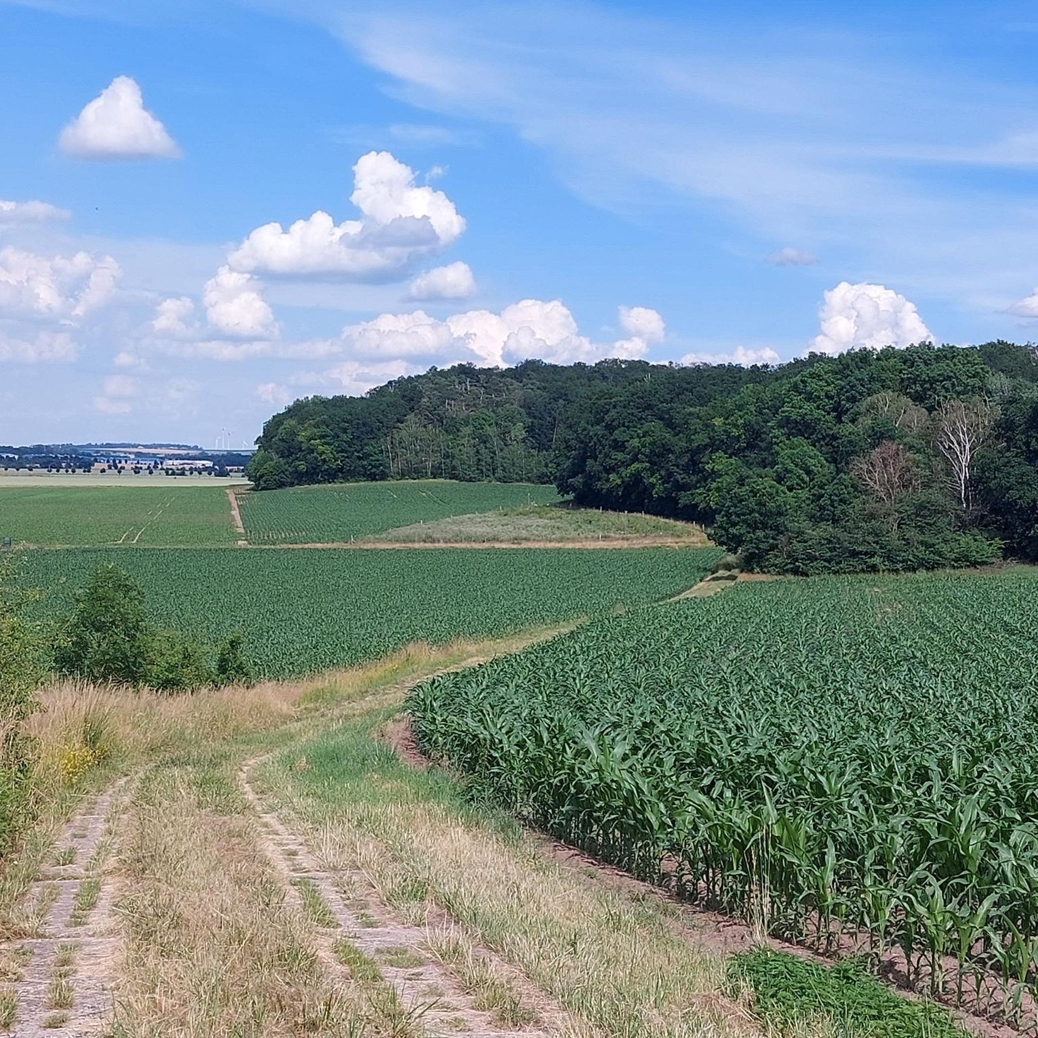
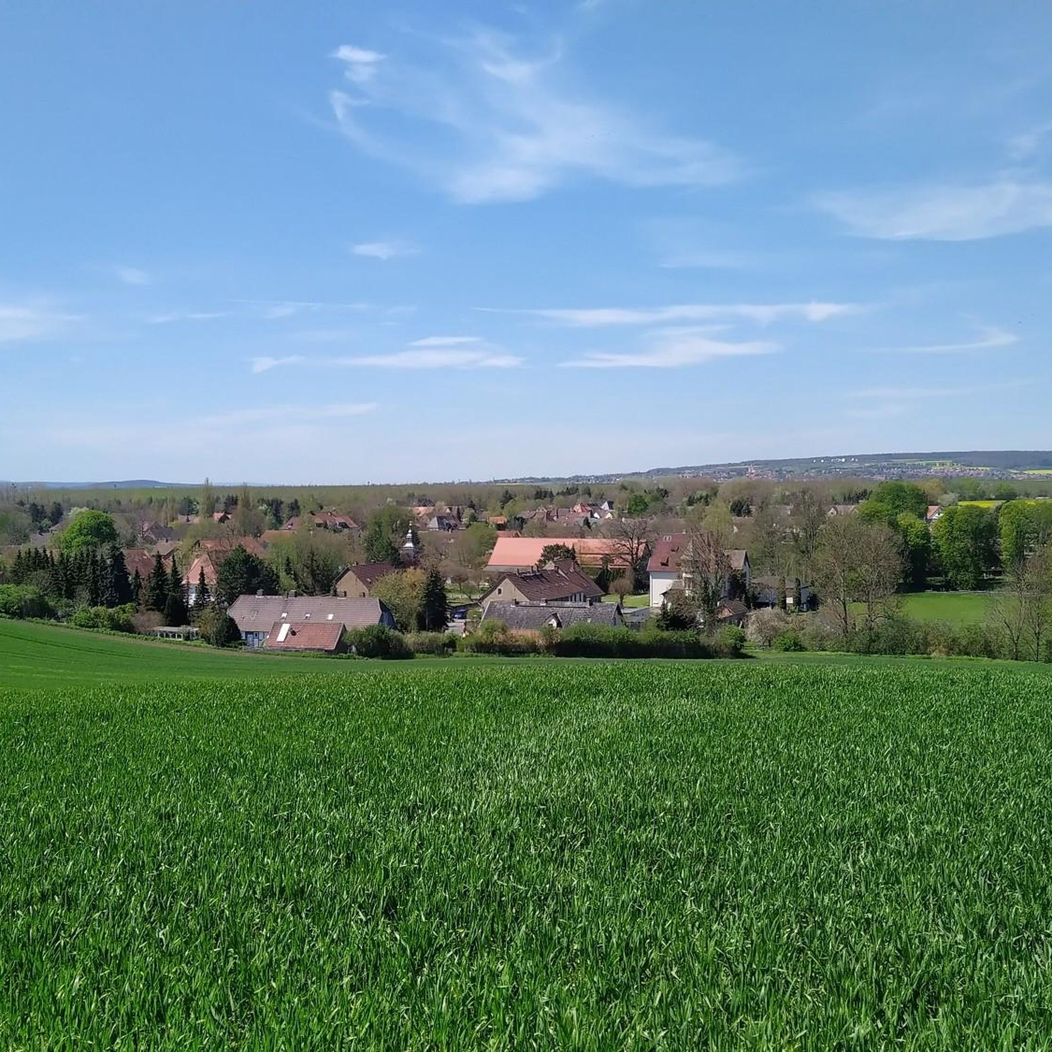
Hiking trails around Hötensleben traverse a varied landscape, characterized by wooded areas, river valleys, and historical sites. The region includes the Karl-May Valley, known for its natural setting, and the broader Landkreis Börde, featuring the hilly Hohes Holz and the ancient glacial valley of Große Bruch. These diverse terrains offer a range of environments for outdoor exploration.
Best hiking trails around Hötensleben
- The most popular hiking route is Schöninger Aue – Nachtwiesengraben loop from Hötensleben, a 4.4 miles (7.0…
Last updated: October 13, 2026
5.0
(4)
22
hikers
7.03km
01:46
10m
10m
Easy hike. Great for any fitness level. Easily-accessible paths. Suitable for all skill levels.
4.6
(9)
24
hikers
5.63km
01:27
30m
30m
Easy hike. Great for any fitness level. Easily-accessible paths. Suitable for all skill levels.

5.0
(3)
15
hikers
Easy hike. Great for any fitness level. Easily-accessible paths. Suitable for all skill levels.
4.0
(2)
13
hikers
Moderate hike. Good fitness required. Easily-accessible paths. Suitable for all skill levels.
5.0
(2)
8
hikers
5.89km
01:29
10m
10m
Easy hike. Great for any fitness level. Easily-accessible paths. Suitable for all skill levels.
Get access to more routes and recommendations from other explorers.
Already have an account?
Our route recommendations are based on thousands of hikes, rides, and runs completed by other people on komoot.
Start today with a free account
Your next adventure awaits.
Tips from the Community

There are many beautiful paths nearby that can be explored by bike or on foot
1
0

A truly amazing highlight. A quick photo stop is worth it.
0
0
A truly amazing highlight. A quick photo stop is worth it.
0
0
A truly amazing highlight. A quick photo stop is worth it.
0
0

I only enjoyed a piece of cake and a coffee here; I didn't visit the museum.
0
1

Great stopping point when hiking 🥾 or cycling. Beautiful view of the former open-cast mine and the modern Paleon, which houses a scientific institute and a restaurant with a beautiful outdoor terrace.
8
0

Every angle is worth a photo
6
0

Here you can experience the construction of such a border system up close.
1
0
Frequently Asked Questions
How many hiking trails are available around Hötensleben?
There are over 40 hiking trails around Hötensleben, offering a variety of experiences. The region features diverse landscapes, from wooded areas to river valleys and historical sites.
Are there easy hiking trails suitable for beginners or casual walkers?
Yes, Hötensleben offers many easy trails. Out of the over 40 routes, 32 are classified as easy. An example is the Schöninger Aue – Nachtwiesengraben loop from Hötensleben, which is 4.4 miles (7.0 km) long and explores the natural surroundings of the Schöninger Aue.
What kind of historical sites can I explore while hiking in Hötensleben?
Hötensleben is home to significant historical landmarks. The Hötensleben Border Memorial – Hötensleben Border Memorial loop from Sandberg bei Hoiersdorf offers views of the historic Border Memorial, preserving an original section of the former inner-German border. This site provides a unique perspective on the Cold War era. For more information on the memorial, you can visit dark-tourism.com.
Are there any circular hiking routes in the Hötensleben area?
Many routes in Hötensleben are designed as loops. For instance, the Schöningen Castle – Schöninger Wassermaid Fountain loop from Hötensleben is a 7.6 miles (12.3 km) trail that takes you through varied terrain.
What are the best places to explore for natural beauty in Hötensleben?
The region boasts diverse natural features. The Karl-May Valley is known for its beautiful, family-friendly forest setting. Additionally, the broader Landkreis Börde includes the wooded hilly landscape of Hohes Holz and the ancient glacial valley of Große Bruch, offering varied scenic experiences.
Are there any lakes or ponds to see along the hiking trails?
Yes, the area around Hötensleben features several bodies of water. You can find highlights like Lappwald Lake, Röderhöfer Pond, and Himmelsteich Sommerschenburg. Some trails also offer viewpoints such as the North shore of Lappwaldsee.
What do other hikers say about the trails in Hötensleben?
The hiking routes in Hötensleben are highly rated by the komoot community, with an average score of 4.7 stars from over 1000 reviews. Hikers often praise the varied terrain, the natural surroundings, and the historical points of interest like the Border Memorial.
Are there any moderate hiking options for those looking for a bit more challenge?
Yes, Hötensleben offers 12 moderate trails. The Nachtwiesengraben – Russenwäldchen loop from Hötensleben is an 8.8 km (5.5 miles) route that provides a moderate challenge with some elevation changes.
Can I find shelters or huts along the hiking paths in Hötensleben?
Yes, there are several shelters and huts available. Notable spots include the Karl-May Valley Shelter and Stamp Station 5, a Shelter at a trail junction in Naturpark Elm-Lappwald, and the Grill hut overlooking Lappwaldsee.
Are there any trails that pass by the Phenolsee (Phenol Lake)?
Yes, you can explore the area around Phenolsee. The Hötensleben Border Memorial – Phenolsee loop from Hötensleben is an easy 5.9 km (3.7 miles) hike that includes this feature.
What is the typical duration for hikes in Hötensleben?
Hike durations vary depending on the route and your pace. Easy loops like the Schöninger Aue – Nachtwiesengraben loop can be completed in under 2 hours, while longer moderate trails such as the Schöningen Castle – Schöninger Wassermaid Fountain loop might take around 3 hours and 11 minutes.
Most popular routes around Hötensleben
Most popular attractions around Hötensleben

Get inspired with the komoot mobile app


Explore more
Browse the best Hikes in other regions.
