The best walks and hikes around Aitrang
4.5
(279)
1,199
hikers
33
hikes
Hiking around Aitrang offers diverse terrain in the Ostallgäu region, situated at the foot of the Alps. The landscape features rolling hills, green meadows, and dense forests, with numerous serene lakes and the River Aitrach. This area provides varied hiking opportunities, from paths through alpine foothills to routes around significant natural features like the Elbsee.
Best hiking trails around Aitrang
- The most popular hiking route is Bergmang Alp – Bergmang Alp loop from Landkreis Ostallgäu, a 6.7 miles (10.8…
Last updated: September 28, 2026
4.7
(133)
395
hikers
Moderate hike. Good fitness required. Easily-accessible paths. Suitable for all skill levels.
4.4
(19)
89
hikers
10.1km
02:44
130m
130m
Moderate hike. Good fitness required. Easily-accessible paths. Suitable for all skill levels.

4.9
(15)
82
hikers
4.64km
01:18
90m
90m
Easy hike. Great for any fitness level. Easily-accessible paths. Suitable for all skill levels.
5.0
(12)
59
hikers
12.5km
03:23
170m
170m
Moderate hike. Good fitness required. Easily-accessible paths. Suitable for all skill levels.
5.0
(2)
35
hikers
6.05km
01:42
120m
120m
Easy hike. Great for any fitness level. Easily-accessible paths. Suitable for all skill levels.
Get access to more routes and recommendations from other explorers.
Already have an account?
Our route recommendations are based on thousands of hikes, rides, and runs completed by other people on komoot.


Tips from the Community

Very beautiful alpine pasture with super delicious food and great view.
0
0
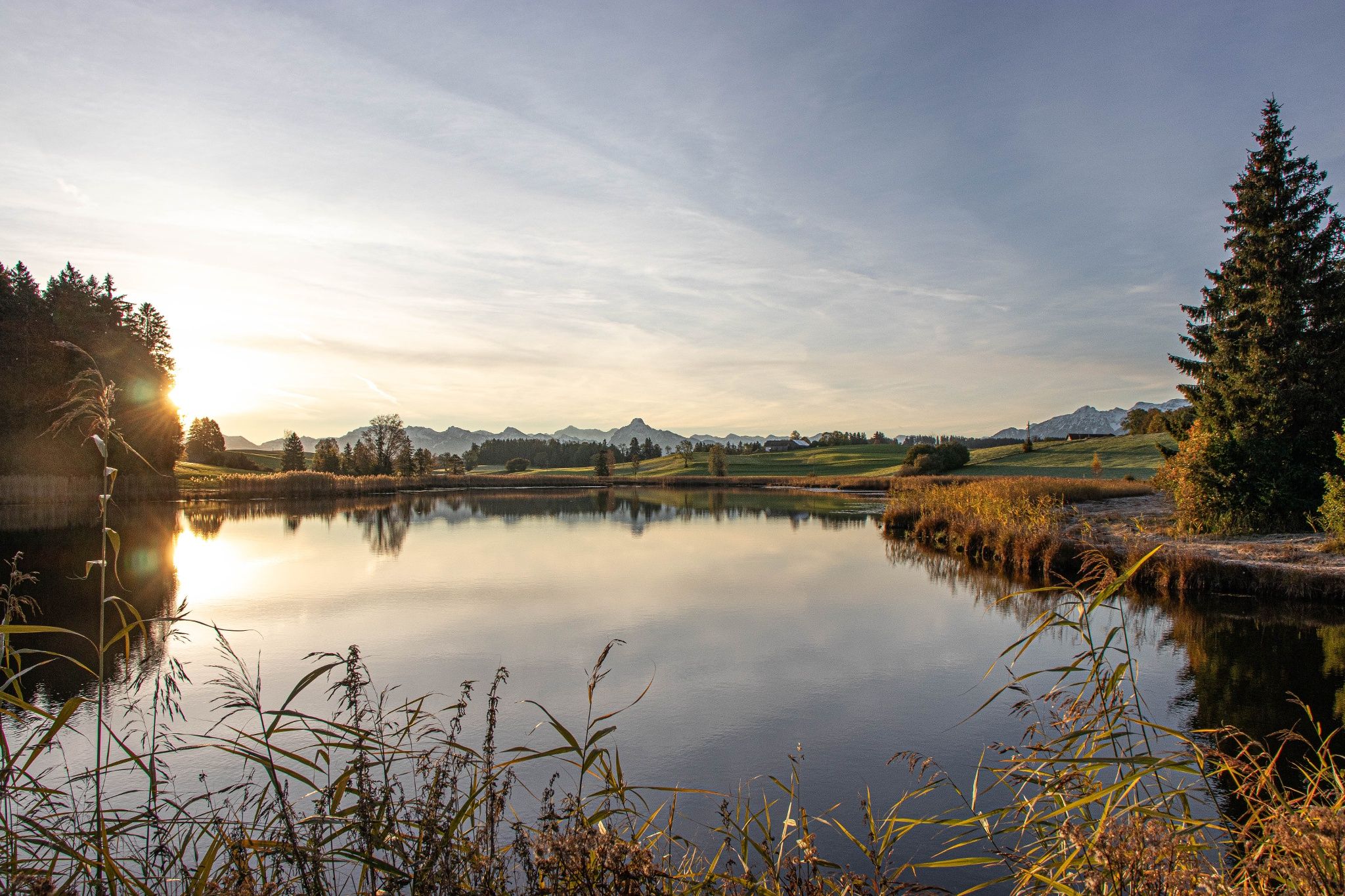
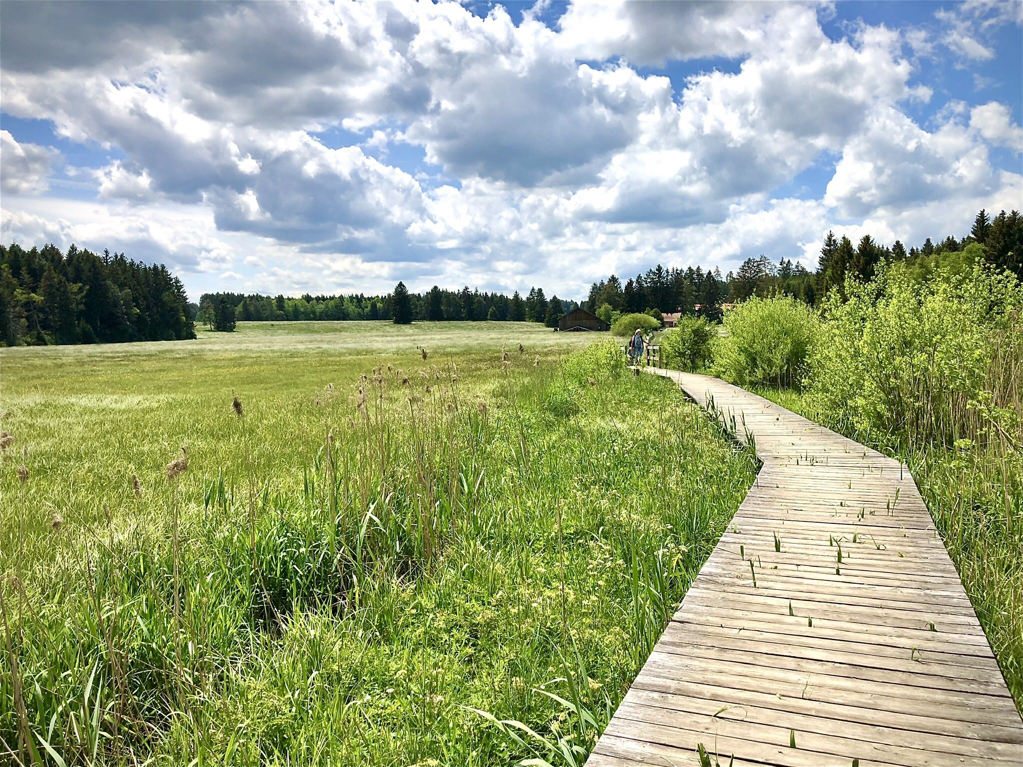
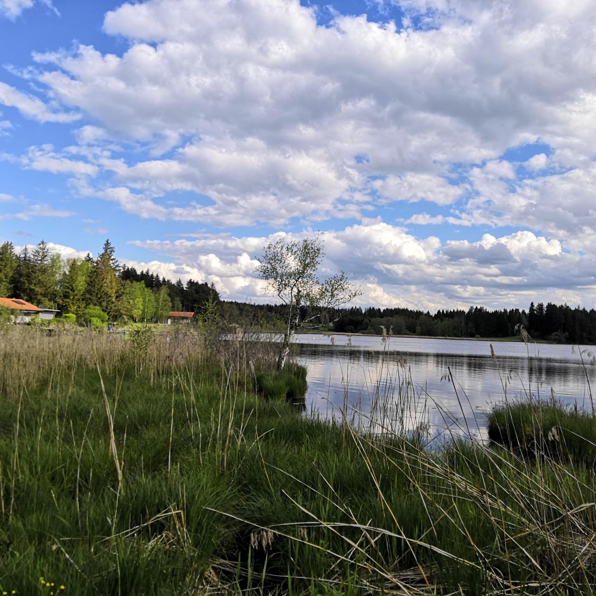
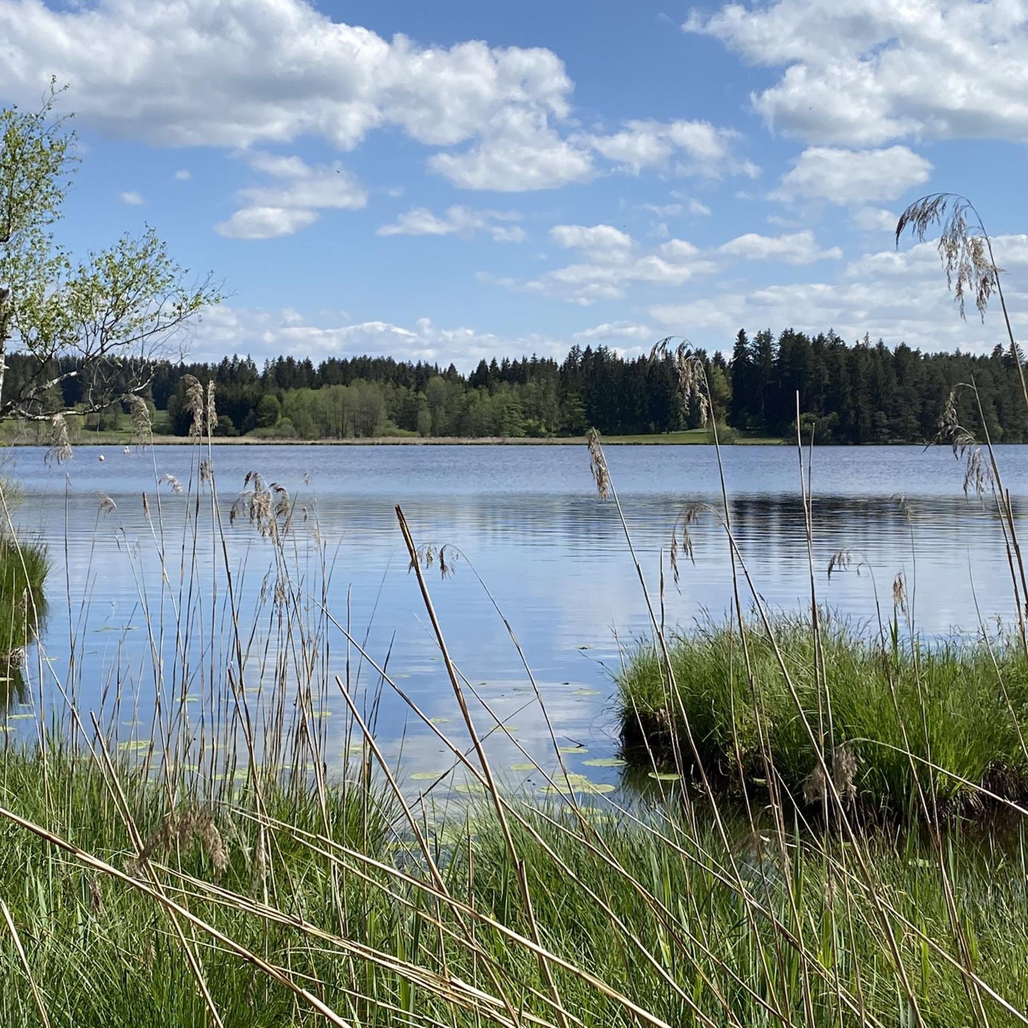
A small weir at Elbsee, located in the moorland area.
0
0

Goat pasture at the Bergmang Alp https://www.bergmang-alpe.de/
0
0

This is either the beginning or the end of the hike. It's definitely impressive and beautiful to look at.
0
0
Wonderful view of the Alps and the Elbsee lake.
0
0
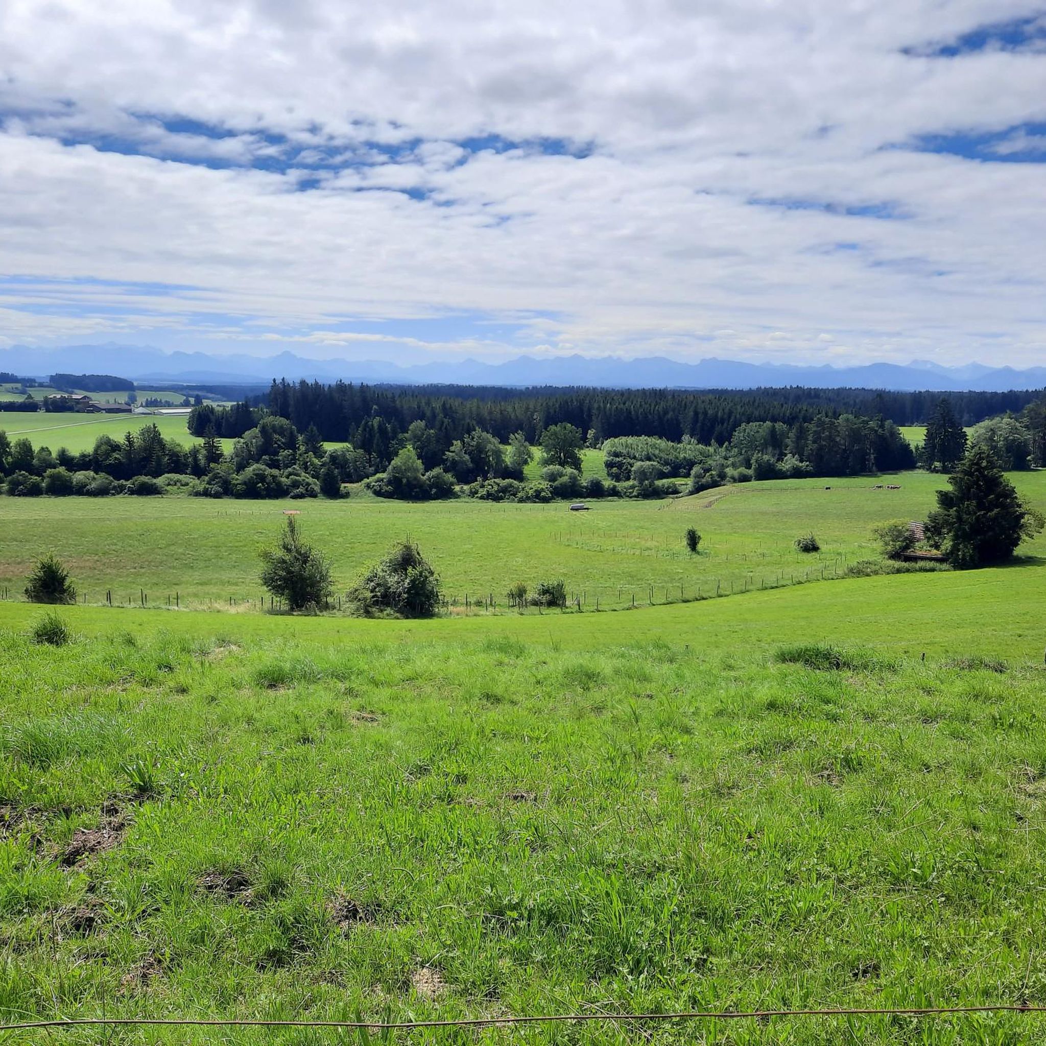
From the Bergmang Alpe there is a beautiful view of the Alps.
0
0
At the "Wilder Molla," my bike had a great view and ticked off another point on the legendary trail. It's also a really nice ride and not difficult.
0
0
Frequently Asked Questions
How many hiking trails are available around Aitrang?
Aitrang offers a wide selection of hiking routes, with over 30 trails available. These range from easy strolls to more challenging moderate hikes, catering to various fitness levels.
What is the best time of year to go hiking in Aitrang?
The best seasons for outdoor activities in Aitrang are generally summer and autumn, offering mild temperatures and pleasant weather. Spring is also suitable for nature walks and cycling, especially along the Forggensee.
Are there any easy hiking trails suitable for beginners in Aitrang?
Yes, Aitrang has several easy routes. For instance, the Bergmang Alp – View of the Allgäu Alps loop from Wenglingen is an easy 4.6 km trail. Another accessible option is the Fliehburg Bauern Fliehburg – Bergmang Alp loop from Landkreis Ostallgäu, which is 6.4 km long.
What kind of natural landscapes can I expect to see on hikes around Aitrang?
Aitrang is characterized by its picturesque landscapes, including rolling hills, lush green meadows, and dense forests. You'll also encounter serene lakes like the Elbsee and Forggensee, and trails often follow the peaceful River Aitrach. The region's position at the foot of the Alps provides varied terrain and stunning mountain views.
Are there any circular hiking routes in Aitrang?
Yes, many routes in Aitrang are circular. Popular options include the Lake Elb – Panoramic Views Over Elbsee loop from Landkreis Ostallgäu, which offers views over the natural Elbsee area, and the View of the Allgäu Alps – Bergmang Alp loop from Landkreis Ostallgäu, leading through the alpine foothills.
What do other hikers say about the trails in Aitrang?
The hiking routes in Aitrang are highly rated by the komoot community, with an average score of 4.5 stars from over 300 reviews. Hikers often praise the varied terrain, the serene lake views, and the well-maintained paths that cater to different abilities.
Are there any family-friendly hiking options in Aitrang?
Yes, Aitrang offers trails suitable for families. The Aitrach Nature Trail is specifically designed with interactive stations for children to playfully explore local animal and plant life. Many of the easy, shorter loops are also great for families.
What interesting sights or landmarks can I explore near the hiking trails?
Beyond the natural beauty, you can explore several interesting sights. Consider visiting the Boardwalks through the reed belt at Elbsee, or the Lake Elb itself. Further afield, you might enjoy the Irsee Monastery Brewery or the historic Kaufbeuren Old Town.
Are there any trails that offer views of the Alps?
Absolutely. Aitrang's location at the foot of the Alps means many trails provide stunning mountain vistas. The View of the Allgäu Alps – Bergmang Alp loop from Landkreis Ostallgäu is a prime example, specifically designed to showcase these breathtaking views.
Are there any trails that focus on the unique moor landscape?
Yes, the Elbsee area is known for its unique moor landscape. The 'Moor Experience Elbsee in Aitrang' is a specific route that highlights this natural feature, offering an impressive nature experience through reeds, woodlands, and meadowlands.
What is the difficulty level of hiking trails in Aitrang?
Aitrang offers a good mix of difficulty levels. There are 16 easy routes, 17 moderate routes, and 2 more difficult trails, ensuring options for hikers of all experience levels.
Can I find trails that go around lakes in Aitrang?
Yes, Aitrang is home to several serene lakes, and many trails incorporate them. The Lake Elb – Panoramic Views Over Elbsee loop from Landkreis Ostallgäu is a popular moderate route that offers beautiful views over the Elbsee.
Most popular attractions around Aitrang

Get inspired with the komoot mobile app


Explore more
Browse the best Hikes in other regions.
