The best running trails around Pagny-La-Blanche-Côte
5.0
(9)
142
runners
24
runs
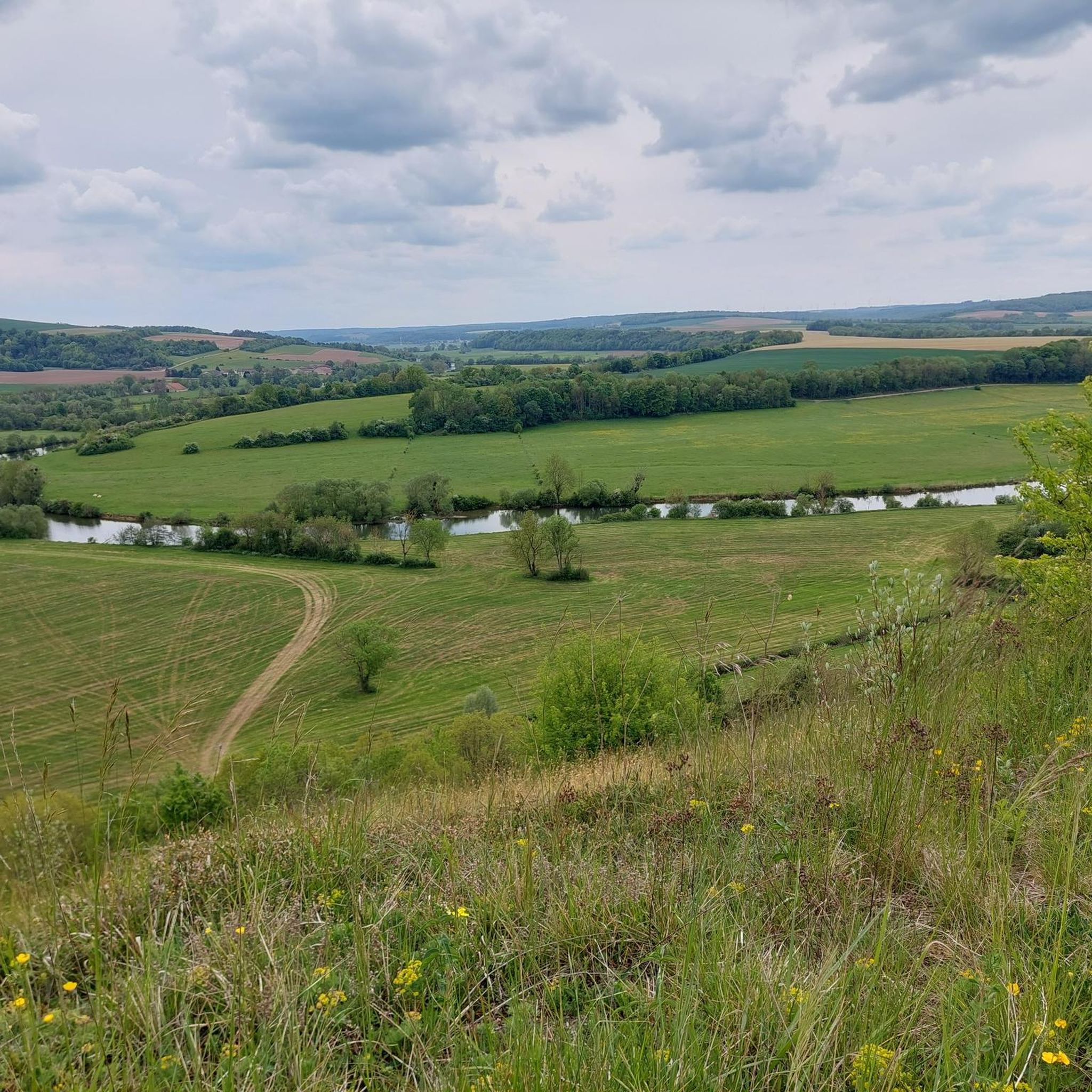
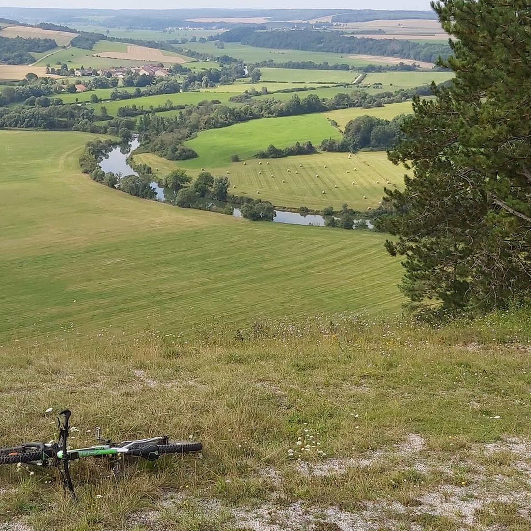
Jogging routes around Pagny-La-Blanche-Côte traverse a diverse landscape within France's Grand Est region. The area is characterized by the Regional Nature Reserve of Pagny-la-Blanche-Côte and Champougny, featuring unique calcareous grasslands and white scree slopes. Elevations range from 257 to 392 meters, providing varied inclines and descents for running. Routes often transition between open vistas of these grasslands and shaded forested sections, with potential for paths along the Meuse and Châtre rivers.
Best jogging routes around Pagny-La-Blanche-Côte
- The most popular jogging…
Last updated: June 26, 2026
11
runners
11.1km
01:16
180m
180m
Moderate run. Good fitness required. Mostly paved surfaces. Suitable for all skill levels.
11
runners
15.0km
01:50
280m
280m
Moderate run. Good fitness required. Mostly accessible paths. Some sure footedness required.

Sign up for free
10
runners
22.9km
02:43
430m
430m
Hard run. Very good fitness required. Mostly accessible paths. Some sure footedness required.
7
runners
9.91km
01:03
40m
40m
Moderate run. Good fitness required. Mostly paved surfaces. Suitable for all skill levels.
4
runners
8.11km
00:53
40m
40m
Moderate run. Good fitness required. Mostly paved surfaces. Suitable for all skill levels.
Get access to more routes and recommendations from other explorers.
Sign up for free
Already have an account?
Our route recommendations are based on thousands of hikes, rides, and runs completed by other people on komoot.
Start today with a free account
Your next adventure awaits.
Login or Signup


Tips from the Community

We particularly enjoyed the history of the town, situated on the Meuse River. The beautiful town hall was built in 1847/48 on the site of a monastery in the Italian Renaissance style. In front of the town hall stands the gigantic equestrian statue of Joan of Arc, revered by the French. This cast-iron monument weighs 2.5 tons. Joan is said to have conquered the city. There is also a Joan of Arc Museum in the town.
1
0

Vaucouleurs takes its name from this part of the Meuse river, called Val des Couleurs. This Joan of Arc town (dedicated to Joan of Arc) was located a few kilometers from the front during the First World War. Today, it is a charming village with many streams and beautiful forests.
2
0

"Vaucouleurs gained notoriety above all through the French national saint Joan of Arc. She came from neighboring Domrémy to the south and asked for an audience for the first time in May 1428 with Captain Robert de Baudricourt, as the only representative of France in the area At the beginning of February 1429, Jeanne moved into quarters in the Royer house and again unsuccessfully asked the captain for an escort through the territory of enemy Burgundy. Jeanne then moved from Vaucouleurs to Nancy, where she spoke to Duke Charles II of Lorraine and he to her Opportunity advised his mistress to be expelled.On the return journey she visited the church of Saint-Nicolas-de-Port and returned to Vaucouleurs on February 12. On the same day she announced the defeat of the French in the battle fought on the same day of Rouvray (“Day of the Herrings") before Orléans. In the meantime, Baudricourt had sent a message about the mission of the peasant girl to the court of the Dauphin Charles VII in Chinon and then subjected Jeanne to an examination of her faith by a local priest. Having passed these, Baudricourt finally granted her the escort, led by Jean de Metz, with whom Jeanne left Vaucouleurs through the French gate towards Chinon on February 23, 1429." Source: https://de.wikipedia.org/wiki/Vaucouleurs_(Meuse)
3
0
Frequently Asked Questions
How many running routes are available around Pagny-La-Blanche-Côte?
There are over 25 running routes around Pagny-La-Blanche-Côte, offering a diverse range of options for joggers. These routes cater to various fitness levels, from moderate paths to more challenging trails with significant elevation changes.
What kind of terrain can I expect on the jogging routes in Pagny-La-Blanche-Côte?
The running routes in Pagny-La-Blanche-Côte feature a unique and varied terrain. You can expect to traverse distinctive calcareous grasslands, white scree slopes, and diverse forest environments. The area's topography includes elevations ranging from 257 to 392 meters, providing natural inclines and descents. Some paths may also follow picturesque riverside sections along the Meuse and Châtre rivers.
Are there running routes with significant elevation changes in Pagny-La-Blanche-Côte?
Yes, the region's varied topography, with elevations between 257 and 392 meters, means many running routes include natural inclines and descents. For example, the Le four à charbon de bois loop from Bulligny features over 430 meters of elevation gain, offering a challenging workout for experienced runners.
What do other runners enjoy most about jogging in Pagny-La-Blanche-Côte?
The running trails in Pagny-La-Blanche-Côte are highly rated by the komoot community, with an average score of 5.0 stars. Runners often praise the unique natural features, such as the calcareous grasslands and varied forested sections, as well as the well-maintained paths that offer both open vistas and shaded routes. The area's natural beauty and diverse terrain are frequently highlighted.
Are there any interesting landmarks or natural sights to see while running near Pagny-La-Blanche-Côte?
Absolutely! The region is rich in natural and historical sights. You can run through the Regional Nature Reserve of Pagny-la-Blanche-Côte and Champougny, known for its exceptional flora and fauna. Scenic viewpoints like the Tête des Rousseaux offer panoramic vistas. For history enthusiasts, the 19th-century Fort de Pagny can be a point of interest along routes. Nearby attractions also include the historic town of Vaucouleurs and the Birthplace of Joan of Arc.
Are there any family-friendly running routes in Pagny-La-Blanche-Côte?
While most routes are moderate, there are options suitable for families looking for a less strenuous run. The area offers a variety of paths, and some of the shorter, less elevated sections within the forested areas or along the rivers can be enjoyable for all ages. It's always recommended to check the specific route details for distance and elevation before heading out with children.
Are there any circular jogging routes available?
Yes, many of the running routes around Pagny-La-Blanche-Côte are designed as loops, allowing you to start and finish at the same point. Examples include the Running loop from Vannes-le-Châtel and the Running loop from Bulligny, which are popular choices among local runners for their convenience and varied scenery.
Is Pagny-La-Blanche-Côte suitable for trail running events?
Yes, Pagny-La-Blanche-Côte is well-suited for trail running events. The annual 'Boldair' trail running event specifically utilizes routes of varying lengths (5, 11, 16, and 20 km) that incorporate the 'Blanche Côte' and its unique orchid trails. This demonstrates the area's suitability and the presence of well-maintained and marked trails for organized running activities.
What is the best time of year to go running in Pagny-La-Blanche-Côte?
The diverse natural landscapes of Pagny-La-Blanche-Côte offer beautiful running conditions throughout much of the year. Spring and autumn are particularly pleasant, with mild temperatures and vibrant scenery, including the blooming orchids in spring. Summer can be warm, so early morning or late afternoon runs are ideal. Winter runs are possible, but some trails might be muddy or require appropriate gear due to colder conditions.
Are there any easy jogging routes for beginners?
While the majority of routes are classified as moderate, there is at least one easy route available, and some sections of longer routes can be adapted for beginners. For instance, the Vaucouleurs loop from Chalaines is a moderate route with relatively low elevation gain, making it a good option for those looking for a less challenging run. Always check the route details for distance and elevation to find the best fit for your fitness level.
Where can I find parking for the running trails in Pagny-La-Blanche-Côte?
Specific parking information varies by trailhead. However, as many routes start from villages like Vannes-le-Châtel or Bulligny, you can typically find public parking areas within these communes. It's advisable to check the starting point of your chosen route on komoot for more precise parking suggestions or local amenities.
Most popular routes around Pagny-La-Blanche-Côte
Most popular attractions around Pagny-La-Blanche-Côte

Get inspired with the komoot mobile app


Explore more
Browse the best Running Trails & Routes in other regions.
