The best mountain hikes around Bad Gottleuba-Berggießhübel
4.8
(93)
327
hikers
61
hikes
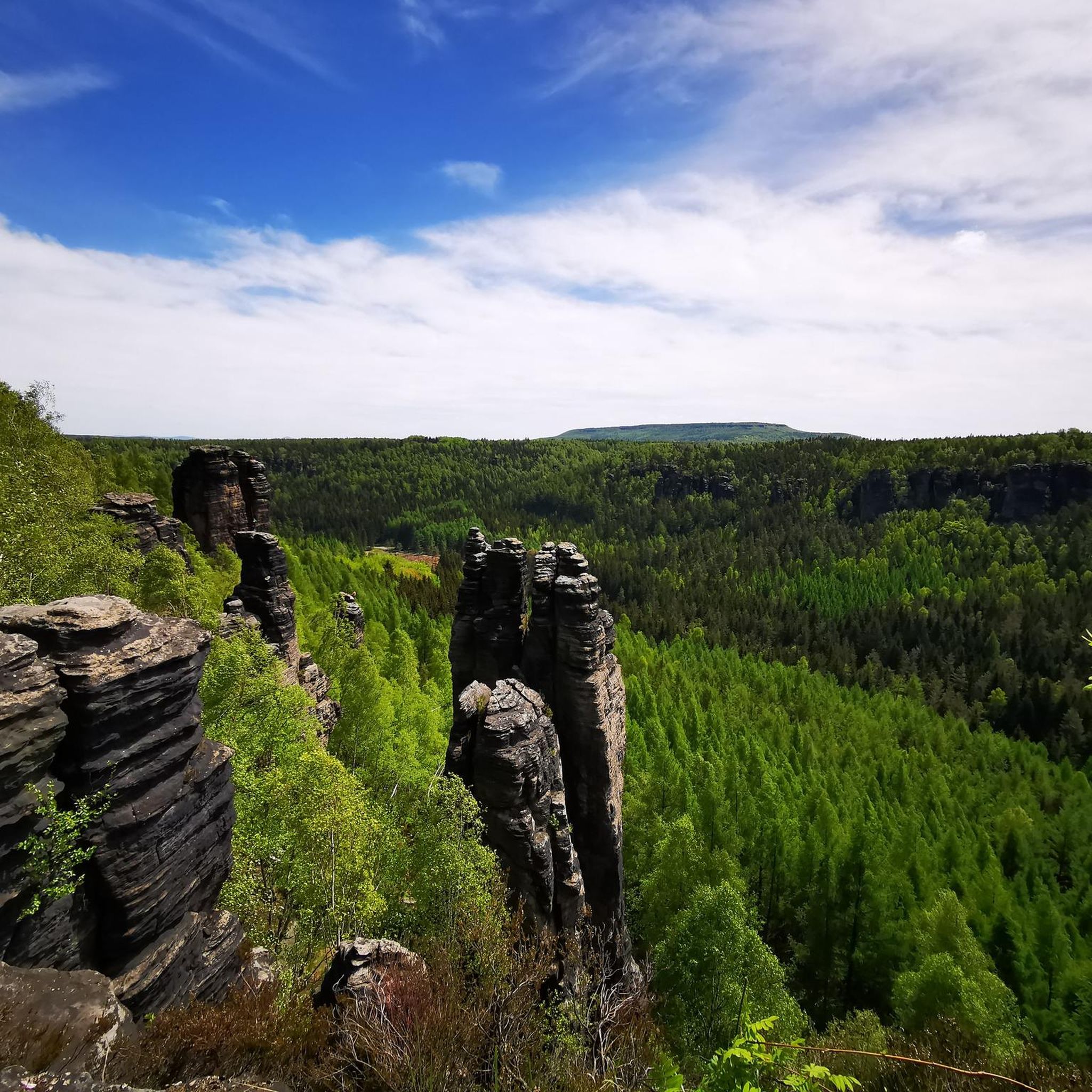
Mountaineering routes around Bad Gottleuba-Berggießhübel are situated within the varied landscape of Saxon Switzerland, characterized by its distinctive sandstone formations, deep river valleys, and dense forests. The region offers a range of elevations, from accessible valley paths to more challenging ascents up prominent rock outcrops. This terrain provides diverse opportunities for mountaineers to explore natural rock features and panoramic viewpoints.
Best mountaineering routes around Bad Gottleuba-Berggießhübel
- The most popular mountaineering route is Pfaffenstein – Bellohöhle loop from Königstein (Sächs Schweiz) Hp, a 5.7 miles (9.2 km) trail that takes 3 hours 9 minutes to complete. This moderate route explores the Pfaffenstein massif and its notable cave systems.
- Another top favourite among local mountaineers is Goldschmidt Cave – Pfaffenstein loop from Königstein (Sächs Schweiz) Hp, a difficult 9.8 miles (15.7 km) path. This route features significant elevation gain and traverses rugged terrain around the Pfaffenstein.
- Local mountaineers also love the Pfaffenstein – Barbarine Rock Pinnacle loop from Königstein, a 7.0 miles (11.3 km) trail leading through sandstone landscapes, often completed in about 3 hours 31 minutes.
- Mountaineering around Bad Gottleuba-Berggießhübel is defined by sandstone cliffs, forested hills, and river valleys. The network offers options for easy, moderate, and difficult routes, catering to various skill levels.
- The routes in Bad Gottleuba-Berggießhübel are highly rated by the komoot community with an average score of 4.8 stars from more than 140 reviews. More than 500 mountaineers have used komoot to explore Bad Gottleuba-Berggießhübel's varied terrain.
Last updated: July 8, 2026
5.0
(4)
16
hikers
9.33km
03:11
450m
450m
Hard mountaineering route. Good fitness required. Sure-footedness, sturdy shoes and alpine experience required.
5.0
(2)
4
hikers
Hard mountaineering route. Very good fitness required. Sure-footedness, sturdy shoes and alpine experience required.

Sign up for free
4.5
(2)
10
hikers
3.49km
01:15
170m
170m
Moderate mountaineering route. Great for any fitness level. Mostly accessible paths. Sure-footedness required.
5.0
(3)
9
hikers
8.74km
02:35
230m
230m
Moderate mountaineering route. Good fitness required. Mostly accessible paths. Sure-footedness required.
5.0
(2)
11
hikers
Moderate mountaineering route. Good fitness required. Mostly accessible paths. Sure-footedness required.
Get access to more routes and recommendations from other explorers.
Sign up for free
Already have an account?
Our route recommendations are based on thousands of hikes, rides, and runs completed by other people on komoot.
Start today with a free account
Your next adventure awaits.
Login or Signup
Popular around Bad Gottleuba-Berggießhübel
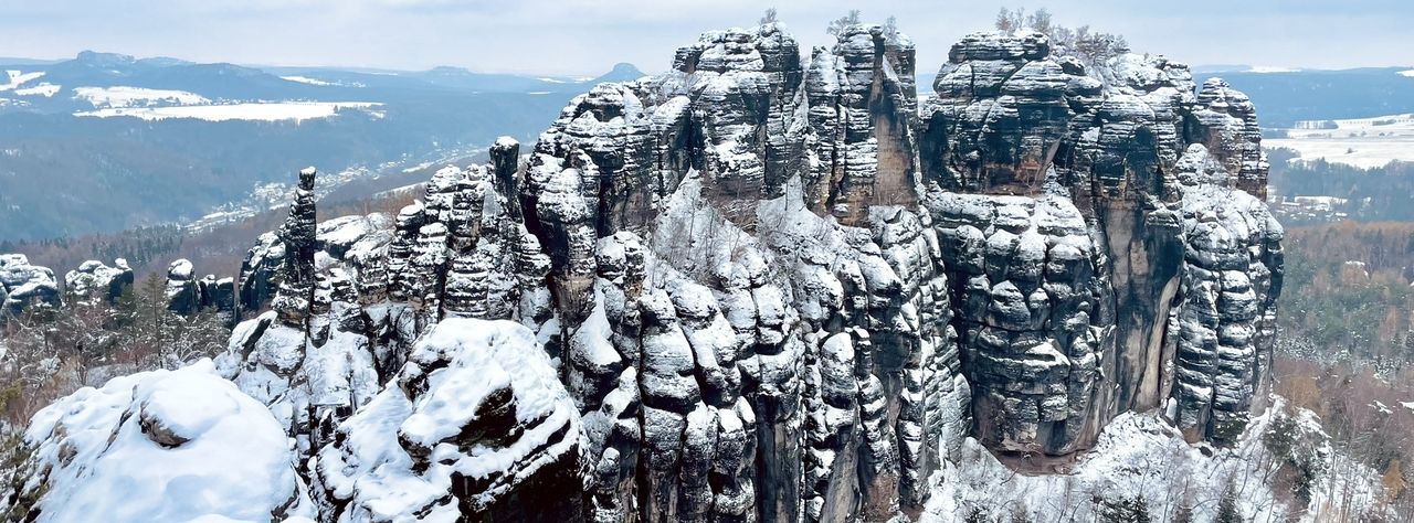
Winterwanderungen in der Sächsischen Schweiz
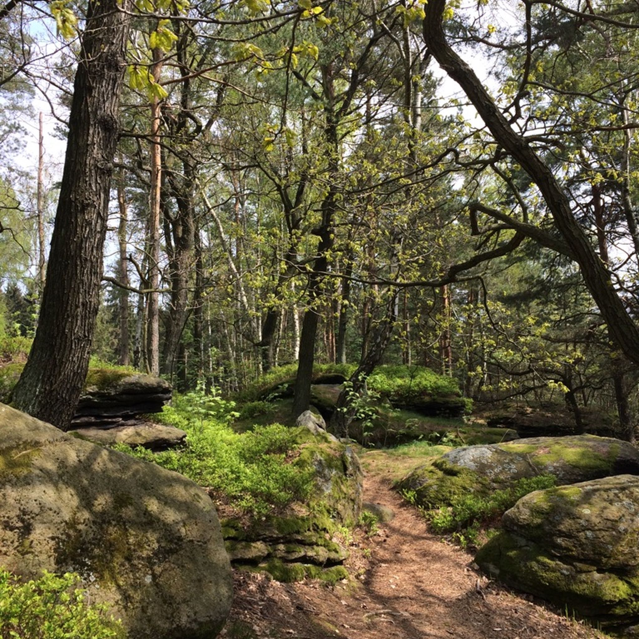
Hiking around Bad Gottleuba-Berggießhübel
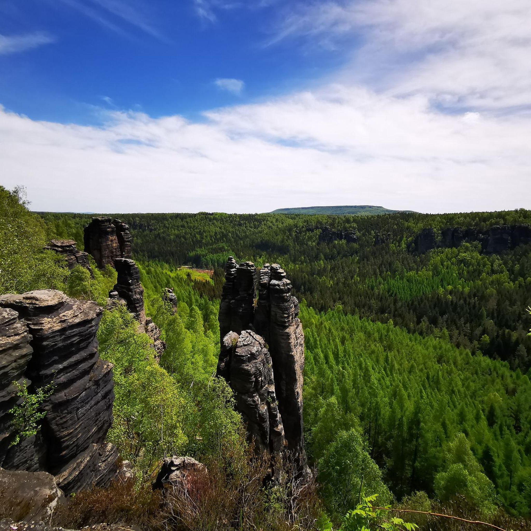
Cycling around Bad Gottleuba-Berggießhübel
Road Cycling Routes around Bad Gottleuba-Berggießhübel

Gravel biking around Bad Gottleuba-Berggießhübel
MTB Trails around Bad Gottleuba-Berggießhübel
Running Trails around Bad Gottleuba-Berggießhübel
Other adventures around Bad Gottleuba-Berggießhübel

Tips from the Community

Very nice ridge trail, with many stairs and small bridges. You always have great views, especially towards the Bastei.
0
0

It is one of over 1000 climbing rocks in the Elbe Sandstone Mountains.
0
0

Beautiful southern view from the Pfaffenstein over the Elbe valley with the various table mountains in the distance!
1
0


Beautiful rock formations that are also suitable for climbing.
4
0

You can climb here
2
0
Where the name comes from is clear after countless stairs, just before you reach the top. Like the thread, you have to thread yourself through the hole.
2
1

Tannhäuser is commemorated here in the sandstone.
0
0
Frequently Asked Questions
How many mountaineering routes are available in Bad Gottleuba-Berggießhübel?
The Bad Gottleuba-Berggießhübel region offers a wide selection of over 60 mountaineering routes. These routes cater to various skill levels, ranging from easy paths to more challenging ascents through the distinctive sandstone landscapes.
What are the difficulty levels of mountaineering routes in Bad Gottleuba-Berggießhübel?
The routes around Bad Gottleuba-Berggießhübel are diverse, with 3 easy routes perfect for beginners, 28 moderate routes offering a good challenge, and 35 difficult routes for experienced mountaineers seeking rugged terrain and significant elevation gains. This variety ensures there's something for every skill level.
What do other mountaineers say about the routes in Bad Gottleuba-Berggießhübel?
The mountaineering routes in Bad Gottleuba-Berggießhübel are highly regarded by the komoot community, boasting an average rating of 4.8 stars from over 140 reviews. Many users praise the unique sandstone formations, panoramic views, and the well-maintained paths that lead through dense forests and river valleys.
Are there any circular mountaineering routes in the area?
Yes, many of the mountaineering routes in Bad Gottleuba-Berggießhübel are designed as circular tours, allowing you to start and end at the same point. An example is the Pfaffenstein – Barbarine Rock Pinnacle loop from Königstein, which offers a scenic journey through sandstone landscapes.
What is the best time for mountaineering in Bad Gottleuba-Berggießhübel?
Mountaineering in Bad Gottleuba-Berggießhübel is enjoyable throughout much of the year. Spring and autumn offer pleasant temperatures and vibrant foliage, while summer provides longer daylight hours. Even winter can be beautiful, though some routes may require appropriate gear for snow and ice. Always check local weather conditions before heading out.
Are there options for beginner mountaineers?
Absolutely. While the region is known for its challenging terrain, there are 3 easy mountaineering routes suitable for beginners or those looking for a more relaxed experience. These routes typically feature less elevation gain and well-defined paths, allowing you to enjoy the natural beauty without extreme exertion.
Are there challenging routes for experienced mountaineers?
Yes, experienced mountaineers will find plenty of challenging options. The region features 35 difficult routes, often involving significant elevation changes and rugged paths. For example, the Goldschmidt Cave – Pfaffenstein loop from Königstein (Sächs Schweiz) Hp is a difficult 9.8-mile path with substantial elevation gain, traversing demanding terrain around the Pfaffenstein.
What natural landmarks or viewpoints can I expect to see?
The mountaineering routes in Bad Gottleuba-Berggießhübel offer numerous natural landmarks and stunning viewpoints. You might encounter the iconic Bastei Bridge, the dramatic Schwedenlöcher gorge, or enjoy the scenic Kanapee View over the Elbe. The region's sandstone formations provide unique geological features and expansive vistas.
Are there any interesting caves to explore near the routes?
Yes, the area around Bad Gottleuba-Berggießhübel is home to several fascinating caves and gorges. You can explore natural formations like the Teufelskammer Gorge, the Teufelsschlüchte (Devil's Gorges), or visit the Lichter Cave (Kleinhennersdorfer Rock). These add an extra dimension to your mountaineering adventure.
Is parking available for mountaineering routes in Bad Gottleuba-Berggießhübel?
Yes, parking is generally available at or near the starting points of many mountaineering routes in the Bad Gottleuba-Berggießhübel region. Specific parking information can often be found on individual route descriptions or local tourist information sites, making it convenient to access the trails.
Are there any hidden gem routes for a unique experience?
While many routes are popular, exploring some of the less-traveled paths can reveal hidden gems. Consider routes that venture deeper into the forests or along less-known river sections to discover quieter spots and unique rock formations away from the main crowds. The Little Bärenstein – Rauenstein Summit loop from Stadt Wehlen offers a moderate challenge and beautiful scenery that might feel like a discovery.
What kind of gear should I bring for mountaineering in this region?
Given the varied terrain, sturdy hiking boots with good ankle support are essential. Depending on the route's difficulty and length, consider bringing a backpack with water, snacks, a first-aid kit, and weather-appropriate clothing layers. Trekking poles can be helpful on steeper sections, especially on routes like the Goldschmidt Cave – Pfaffenstein loop from Königstein.
Most popular routes around Bad Gottleuba-Berggießhübel
Most popular attractions around Bad Gottleuba-Berggießhübel

Get inspired with the komoot mobile app


Explore more
Browse the best Mountain Hikes & Routes in other regions.
