The best road cycling routes around Proyart
4.3
(19)
673
riders
170
rides
Road cycling around Proyart, France, is characterized by its location within the Somme Valley, offering routes that largely follow the tranquil Somme River. The terrain is generally flat to gently rolling, passing through agricultural landscapes and occasional marshlands. Cyclists can expect well-paved paths and quiet departmental roads, with minimal elevation gains, making it suitable for various fitness levels. The region provides access to a network of routes that connect small communes and historical sites.
Best road cycling routes around Proyart
…Last updated: October 30, 2026
4.3
(3)
51
riders
Moderate road ride. Good fitness required. Mostly well-paved surfaces and easy to ride.
6
riders
29.9km
01:21
250m
250m
Easy road ride. Mostly well-paved surfaces and easy to ride.

5.0
(1)
10
riders
Hard road ride. Very good fitness required. Some segments of this route may be unpaved and difficult to ride.
5
riders
47.1km
01:53
170m
170m
Easy road ride. Mostly well-paved surfaces and easy to ride.
4.0
(2)
13
riders
Moderate road ride. Good fitness required. Mostly well-paved surfaces and easy to ride.
Get access to more routes and recommendations from other explorers.
Already have an account?
Our route recommendations are based on thousands of hikes, rides, and runs completed by other people on komoot.
Start today with a free account
Your next adventure awaits.
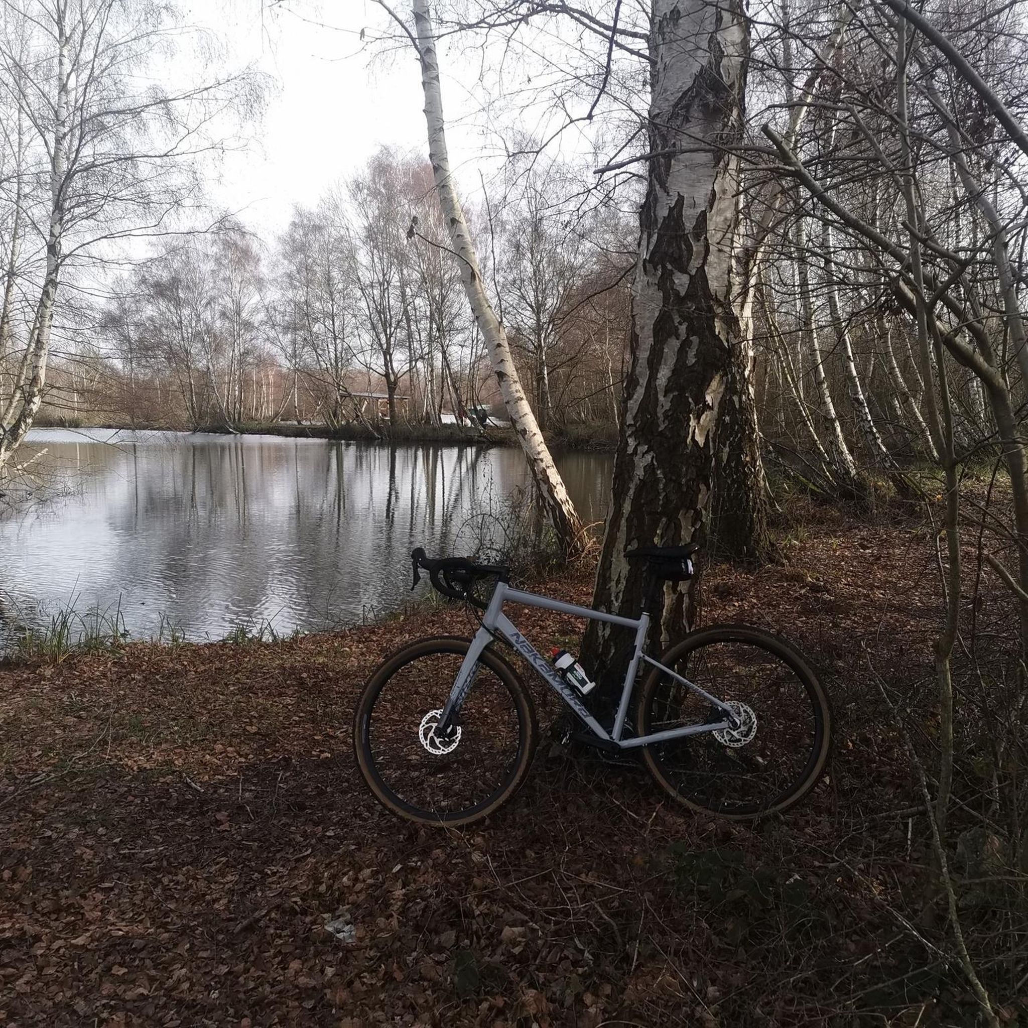
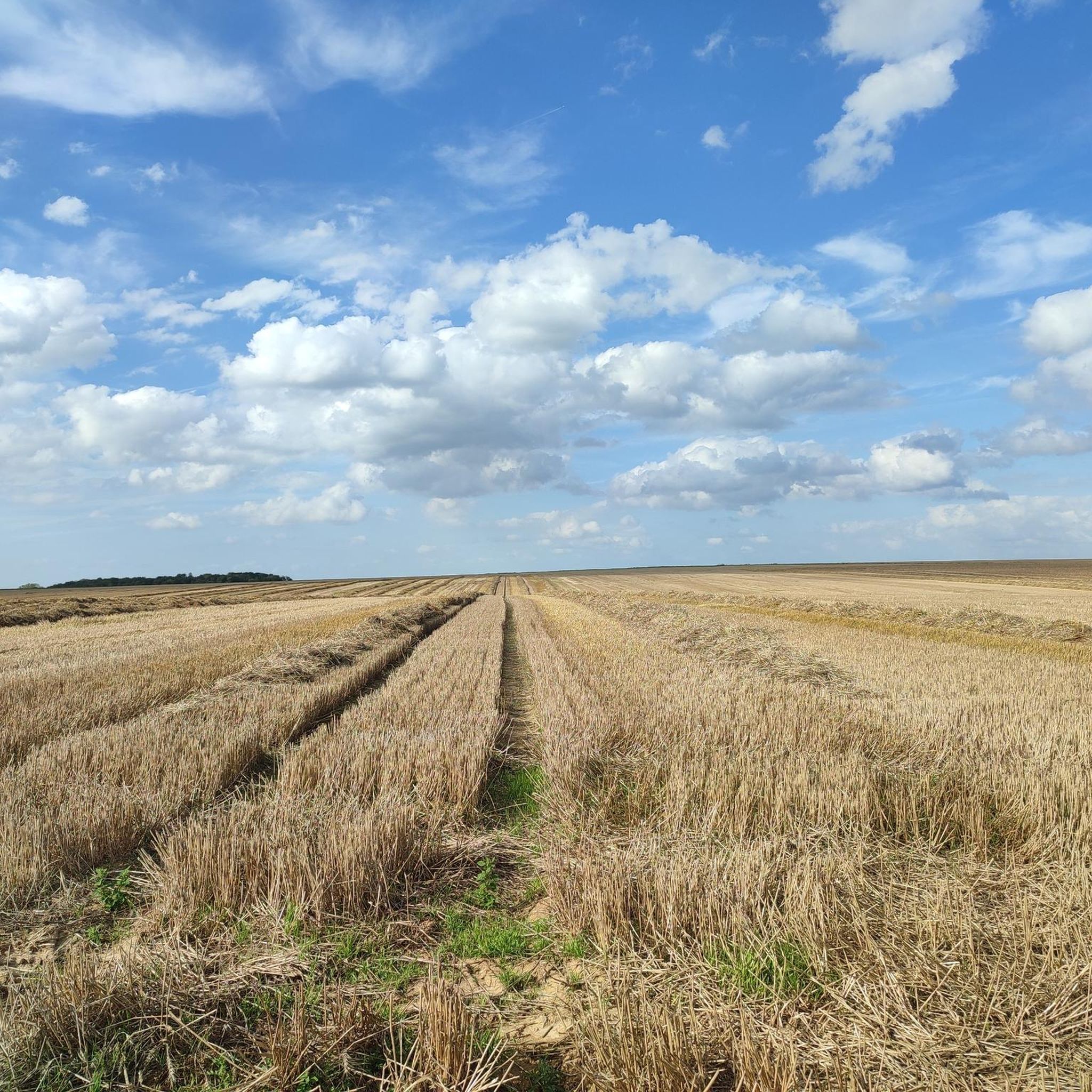


Tips from the Community

The Somme 245 km is a river in Hauts-de-France (France). The old Gallic name of the river is "Samara", meaning "the calm one". It is the river from which the Somme department derives its name.
12
0
The castle served for centuries as a meeting place for the regional nobility and thinkers.
15
0
This lock also has a fish ladder / bypass.
19
0
There are several locks near Frise, all with fish ladders.
18
0
viewpoint la Montagne de Frise
14
0

There are several small locks with benches to view them well
5
0

In addition to the exceptional viewpoint, the landscape interpretation table allows you to better understand the environment that unfolds before you.
0
0
Frequently Asked Questions
How many road cycling routes are available around Proyart?
There are over 150 road cycling routes around Proyart, offering a wide range of options for different skill levels. This includes 38 easy routes, 106 moderate routes, and 14 more challenging trails.
What is the typical terrain like for road cycling near Proyart?
Road cycling around Proyart is primarily characterized by its location within the Somme Valley. The terrain is generally flat to gently rolling, passing through agricultural landscapes and occasional marshlands. You can expect well-paved paths and quiet departmental roads with minimal elevation gains, making it suitable for various fitness levels.
Are there routes suitable for beginners or families?
Yes, the region offers many easy routes perfect for beginners and families. The Somme Valley Véloroute, for instance, provides a largely flat and secure path along the tranquil Somme River, ideal for a relaxed cycling experience. An example of an easy route is Bar des Îles – Suzanne Castle loop from La sapinière, which is 16.4 miles (26.5 km) long.
What kind of historical or natural attractions can I see along the routes?
The Somme Valley is rich in history and natural beauty. Along the routes, you can encounter natural sites like the Marais de Méricourt-sur-Somme and the Etangs de la Barette. Historically, the area is significant for World War I. While not directly in Proyart, the wider cycling network provides access to sites like the Australian National Memorial, the Sir John Monash Centre, and the Beaumont-Hamel Newfoundland Memorial. You can also find highlights such as the P'tit Train de la Haute Somme and the Canal de la Somme Cycle Path.
Are there any circular road cycling routes in the area?
Yes, many routes around Proyart are designed as loops, allowing you to start and end at the same point. For example, the Roadbike loop from La sapinière is a 16.8-mile (27.1 km) trail that takes you through varied agricultural fields.
What do other cyclists say about road cycling in Proyart?
The road cycling routes in Proyart are highly rated by the komoot community, with an average score of 4.2 stars from more than 10 reviews. Cyclists often praise the tranquil nature of the Somme River routes and the well-maintained paths through the countryside.
Is public transport available to access cycling routes around Proyart?
While Proyart itself is a smaller commune, the broader Somme department has some public transport options. For specific route access, it's advisable to check local bus services or regional train lines that might connect to towns along the Somme Valley Véloroute, which is easily accessible from Proyart.
Where can I find parking for road cycling routes in Proyart?
Parking is generally available in the villages and towns along the cycling routes. Many routes, like the Towpath Along the Somme River – Corbie Tours loop, often start near train stations or designated parking areas in larger villages such as Froissy or Corbie. Look for public parking in commune centers or near popular starting points.
What is the best time of year to go road cycling in Proyart?
The best time for road cycling in Proyart is typically from spring to early autumn (April to October). During these months, the weather is generally mild and pleasant, with less rain, making for ideal cycling conditions. The Somme Valley is particularly scenic during these seasons.
Are there any longer or more challenging road cycling routes for experienced cyclists?
Yes, while many routes are easy to moderate, there are 14 more challenging routes available for experienced cyclists. These routes may feature slightly more elevation gain or cover longer distances, offering a good workout while still enjoying the scenic Somme landscape. An example of a moderate route is the Towpath Along the Somme River – Corbie Tours loop, which is 32.2 miles (51.8 km) long.
Can I find routes that follow the Somme River?
Absolutely. Many road cycling routes in the Proyart area, including the prominent Somme Valley Véloroute, closely follow the tranquil Somme River. These routes offer picturesque views of the river, marshlands, and surrounding natural landscapes. The Canal de la Somme Cycle Path – Bench for resting loop is a great example of a route that utilizes the river's path.
Are there routes that explore the World War I history of the region?
Yes, the region is deeply connected to World War I history. The Memory Cycle Route, about 90 km long, allows cyclists to journey between Amiens and Arras, utilizing local roads to discover significant sites related to the Battle of the Somme. While not directly in Proyart, many routes in the wider Somme department will bring you close to these historical landmarks.
Most popular attractions around Proyart

Get inspired with the komoot mobile app


Explore more
Browse the best Road cycling routes in other regions.
