The best walks and hikes around Proyart
4.3
(186)
829
hikers
58
hikes
Hiking around Proyart offers diverse natural landscapes, making it a compelling destination for outdoor enthusiasts. The region is characterized by a rich tapestry of wetlands, forests, lakes, and rivers, providing varied scenery and ecological interest. Trails often wind through these water features and greenery, with the Somme River and its canal being central natural elements. This environment provides tranquil settings for exploration, with routes showcasing a blend of natural beauty and historical markers.
Best hiking trails around Proyart
- The most…
Last updated: October 26, 2026
4.7
(14)
57
hikers
8.11km
02:30
30m
30m
Moderate hike. Good fitness required. Easily walkable paths.
4.4
(13)
32
hikers
10.8km
02:46
50m
50m
Moderate hike. Good fitness required. Easily walkable paths.

4.8
(4)
29
hikers
8.46km
02:12
60m
60m
Moderate hike. Good fitness required. Easily walkable paths.
4.8
(4)
26
hikers
8.21km
02:08
50m
50m
Moderate hike. Good fitness required. Easily walkable paths.
4.8
(4)
17
hikers
Easy hike. Easily walkable paths.
Get access to more routes and recommendations from other explorers.
Already have an account?
Our route recommendations are based on thousands of hikes, rides, and runs completed by other people on komoot.
Start today with a free account
Your next adventure awaits.


Tips from the Community

Welcome to Eclusier-Vaux, a municipality in the Somme with 85 inhabitants.
15
0
The castle served for centuries as a meeting place for the regional nobility and thinkers.
15
0

There are several of these bridges - unfortunately I didn't see any of them in action.
0
0

Écluse de Cappy No 10 is a minor waterways place on the Canal de la Somme (Grande Somme) between Mouth of River Somme (105.77 kilometres and 16 locks to the west) and Nord - Grande Somme Jonction (Junction of Canal du Nord with the Grande Somme at Halles) (14.23 kilometres and 3 locks to the east). The nearest place in the direction of Mouth of River Somme is Pont de Froissy; 1.78 kilometres away. The nearest place in the direction of Nord - Grande Somme Jonction is Pont Élévateur de Cappy; 0.57 kilometres away. Mooring here is unrated. This is a lock, the rise of which is not known.
0
0

Nathalie and Jérôme Follet run a small restaurant on the water, right on the V30 cycle path. Whether in the small old restaurant, in the larger modern hall, on the terrace or simply in the garden on the lawn, the lovingly prepared dishes can be enjoyed wonderfully everywhere. After a lunch like that, the only thing that becomes a little tiring is continuing to cycle. Since there are few shops and very few restaurants in the area, we were happy to accept this small effort. —— 3 Chaussee d‘Eclusier 80340 Eclusier-Vauxhall +33 6 86954908 bouchons@orange.fr www.domainedesptitsbouchons.eatbu.com
1
0

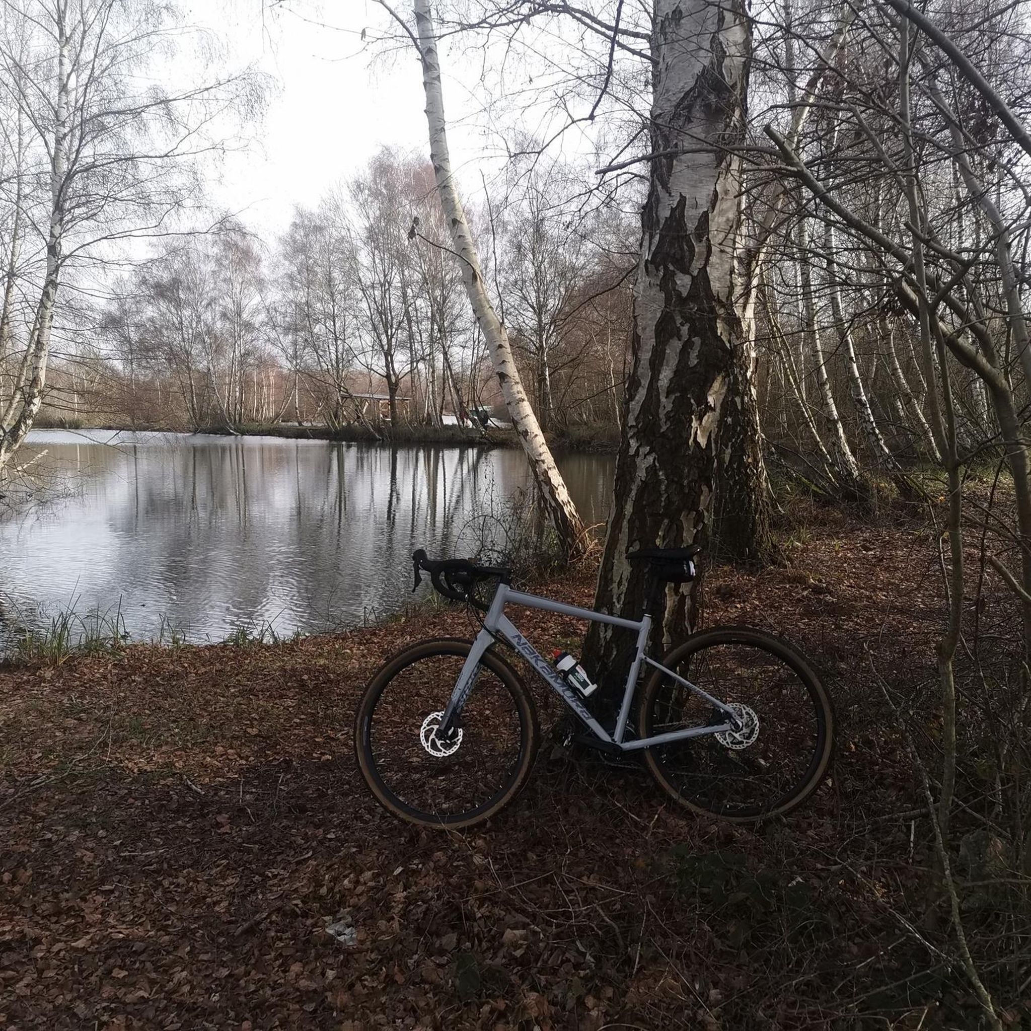
The Les Marais de la Violette trail is an 8.5-kilometer loop that will take you through wetlands, forests, lakes, and rivers, where you can admire the diversity of the region's flora and fauna.
3
0
Throughout this stretch, you will appreciate the views of the marshes and the river, as well as the flora and fauna and historical markers that mark the route.
3
0

A nice little castle that deserves a short stop!
2
0
Frequently Asked Questions
How many hiking trails are available in Proyart, and what are their difficulty levels?
Proyart offers a wide range of hiking opportunities with nearly 60 routes to explore. These trails cater to various fitness levels, including 23 easy routes perfect for a relaxed stroll, 33 moderate routes for a more engaging hike, and 3 challenging routes for experienced adventurers seeking a greater test.
What kind of landscapes and natural features can I expect to see while hiking in Proyart?
Hiking in Proyart immerses you in a rich tapestry of wetlands, forests, lakes, and rivers. Many trails wind through these diverse environments, offering picturesque views of the Somme River and its canal. You'll encounter tranquil settings and a blend of natural beauty with historical markers, characteristic of the Hauts-de-France region.
Are there family-friendly hiking options in Proyart?
Yes, Proyart offers several family-friendly hiking options, particularly among its 23 easy routes. These trails are generally well-maintained and feature minimal elevation gain, making them suitable for all ages. Look for routes that explore the wetlands and forests for an engaging experience for the whole family.
Can I bring my dog on the hiking trails in Proyart?
Many trails in Proyart are suitable for dogs, allowing you to enjoy the natural beauty with your canine companion. It's always recommended to keep your dog on a leash, especially in areas with wildlife or near agricultural land, to ensure their safety and respect for the environment and other hikers.
Are there circular hiking routes around Proyart?
Yes, many of the hiking routes around Proyart are circular, offering convenient starting and ending points. A notable example is Les marais de la Violette — loop from Méricourt-sur-Somme, an 8.1 km loop that takes you through diverse wetlands and forests.
What are some interesting landmarks or attractions to see along the hiking trails?
While hiking around Proyart, you can discover several points of interest. Consider exploring the Path from Corbie to Sailly-le-Sec for scenic views, or visit the Vaux Viewpoint for panoramic vistas. The Canal de la Somme Cycle Path also offers a blend of natural beauty and historical markers.
What is the typical terrain and elevation gain like on Proyart's hiking trails?
The terrain in Proyart is quite varied, ranging from easily accessible paths through wetlands and along canals to trails winding through forests. While some routes feature minimal elevation gain, others, particularly the moderate to difficult ones, can involve more significant elevation changes. For instance, the Bench for resting loop from Étinehem-Méricourt has an elevation gain of about 58 meters.
When is the best time of year to go hiking in Proyart?
The diverse landscapes of Proyart, with its wetlands, forests, and river paths, make it enjoyable for hiking across multiple seasons. Spring and autumn offer pleasant temperatures and vibrant scenery, while summer provides longer daylight hours. Even in winter, some trails can be explored, though conditions may vary.
What do other hikers enjoy most about the trails in Proyart?
The hiking trails in Proyart are highly rated by the komoot community, with an average score of 4.2 stars from over 140 reviews. Hikers often praise the region's diverse natural beauty, particularly the tranquil settings along the Somme River and through the wetlands, as well as the well-maintained paths suitable for various skill levels.
Are there any easy routes for a short, relaxed walk?
Absolutely. Proyart offers 23 easy routes, perfect for a short and relaxed walk. An excellent option is the Canal de la Somme Cycle Path – Écluse de Cappy No 10 loop from Gare de Froissy Musée, which is about 5.4 km long and takes around 1 hour 25 minutes, offering pleasant views along the canal.
Are there any longer or more challenging hikes for experienced hikers?
For experienced hikers seeking a greater challenge, Proyart features 3 difficult routes. Additionally, many of the 33 moderate routes offer longer distances and more varied terrain. For example, the Canal de la Somme Cycle Path – Château de Suzanne loop from Cappy is a moderate 10.8 km path that provides a good workout with picturesque river views.
Most popular attractions around Proyart

Get inspired with the komoot mobile app


Explore more
Browse the best Hikes in other regions.
