The best mountain hikes around Wernersberg
4.7
(6)
27
hikers
5
hikes
Mountaineering around Wernersberg offers routes through the Palatinate Forest, characterized by dense woodlands, sandstone rock formations, and historic castle ruins. The region features varied terrain, including moderate ascents and more challenging climbs, providing diverse experiences for mountaineers. Elevations typically involve several hundred meters of gain, leading to panoramic views over the surrounding landscape. The area is known for its well-marked circular routes that explore natural and historical landmarks.
Best mountaineering routes around Wernersberg
- The most popular mountaineering route is Bishop’s…
Last updated: July 1, 2026
4.0
(4)
8
hikers
Hard mountaineering route. Very good fitness required. Mostly accessible paths. Sure-footedness required.
4
hikers
6.49km
02:11
250m
250m
Moderate mountaineering route. Good fitness required. Mostly accessible paths. Sure-footedness required.

Sign up for free
5.0
(1)
11
hikers
9.81km
03:27
370m
370m
Moderate mountaineering route. Good fitness required. Mostly accessible paths. Sure-footedness required.
5.0
(1)
3
hikers
8.19km
02:34
300m
300m
Moderate mountaineering route. Good fitness required. Easily-accessible paths. Suitable for all skill levels.
1
hikers
8.86km
02:46
290m
290m
Moderate mountaineering route. Good fitness required. Mostly accessible paths. Sure-footedness required.
Our route recommendations are based on thousands of hikes, rides, and runs completed by other people on komoot.
Start today with a free account
Your next adventure awaits.
Login or Signup

Tips from the Community

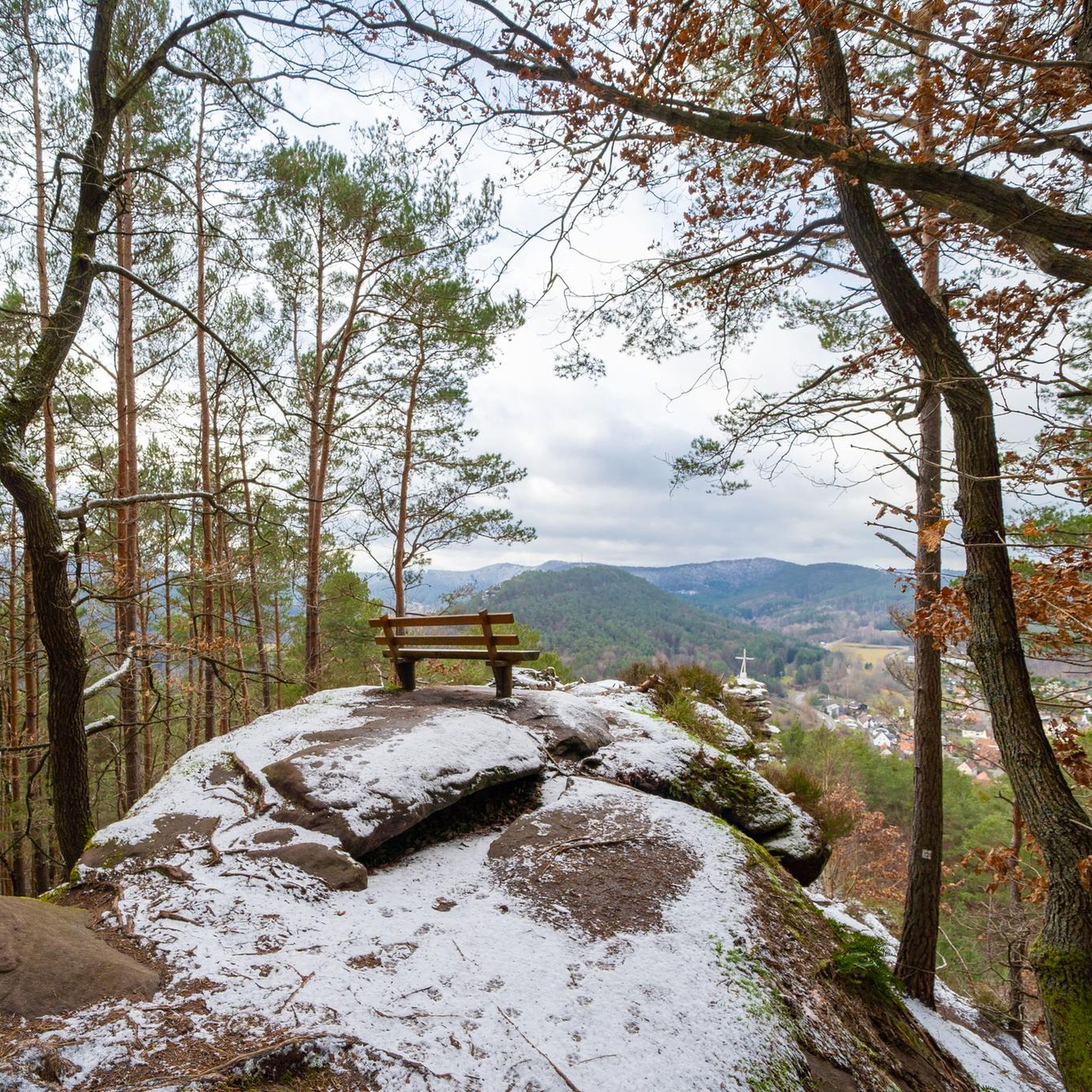
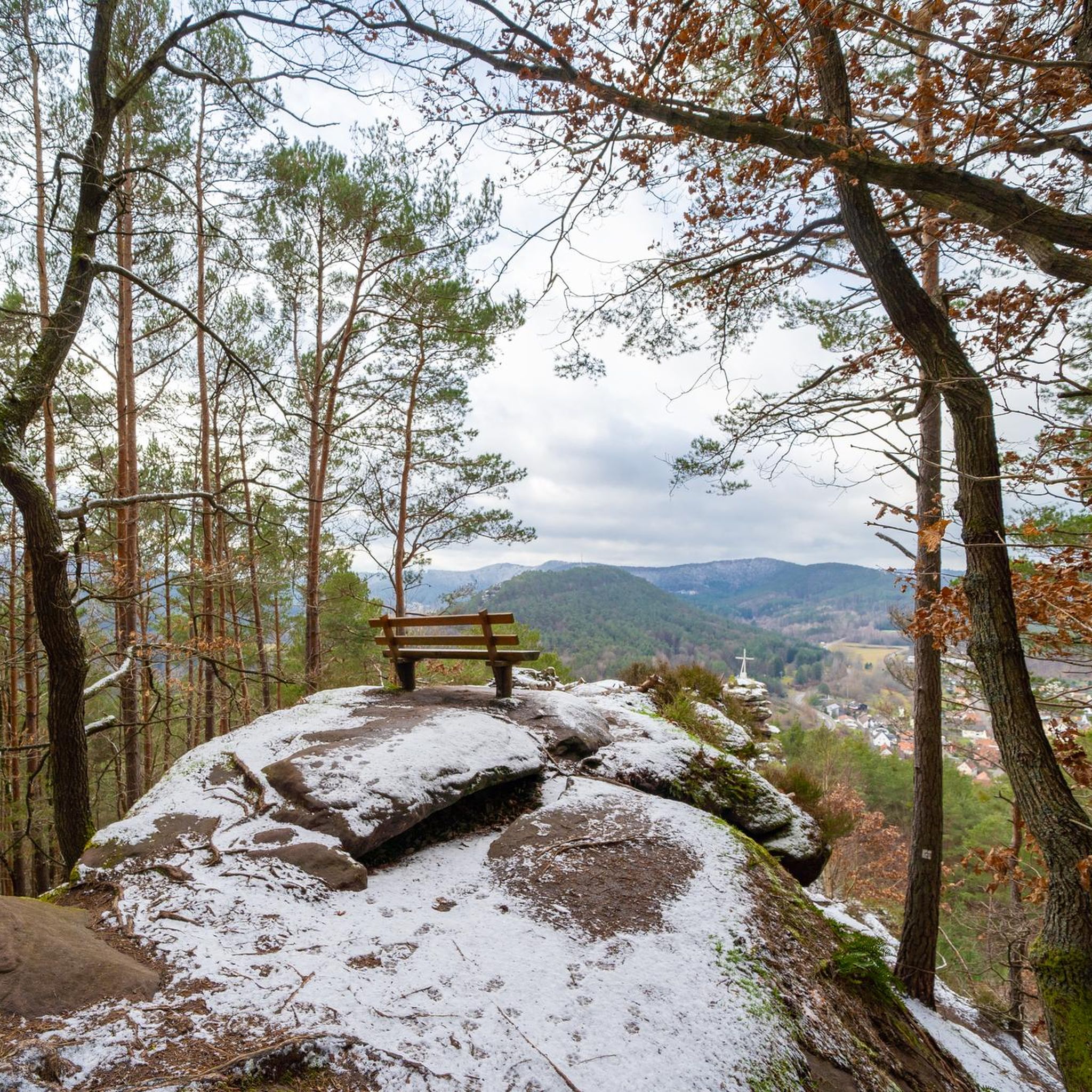
Locals often refer to it as the "Wetterkreuz" instead of the Bischofskreuz. The last approx. 100 m to the summit can be managed with a mountain bike, but older bikers should partially push their bikes due to numerous tree roots and stones.
0
0

"The church's foundation stone was laid on May 23, 1954. It was named after the reformer Martin Bucer (1491-1551). Inside the church is a bronze cross created in 1977 by the sculptor Gernot Rumpf. Grapevines have broken through the cross at a kind of predetermined breaking point." Source (quoted verbatim): https://www.evkirche-queich-weinstrasse.de/index.php/pfarrstellen/pfarrstelle-rhodt-frankweiler/kirchen/prot-kirche-gleisweiler-martin-bucer-kirche
1
0

That must be Altdahn Castle, not Fleckenstein. This landmark should either be renamed or removed!
1
0

And we owe it to the formation of the Alps... they press down on the Earth's crust, which couldn't withstand the pressure... and broke apart and was pushed upwards.
7
0

You can see it from the reddish sheaf: these rocks consist, among other things, of Dandstein, a legacy of the Ice Age.
5
0
"The weather cross, consecrated in 1909 by Bishop Konrad von Busch (1847-1910) of Speyer, was created by stonemason Johann Minges and is the highest weather cross on the Haardt mountain range. Locally, it is also known as the Bishop's Cross." Source (quoted verbatim): https://www.kuladig.de/Objektansicht/KLD-272330 The following text (difficult to read) is inscribed on the base of the cross: "Behold the Cross of the Lord! // Flee, you hostile forces! // The Lion of Judah. // The Root of David has triumphed! // Alleluia, Alleluia! // (St. Anthony of Padua)" A vineyard (large vineyard area) in the Southern Palatinate is also called "Bischofskreuz" (Bishop's Cross).
2
0
These rock formations made of sand and colored stone are about 250-270 million years old.
4
0
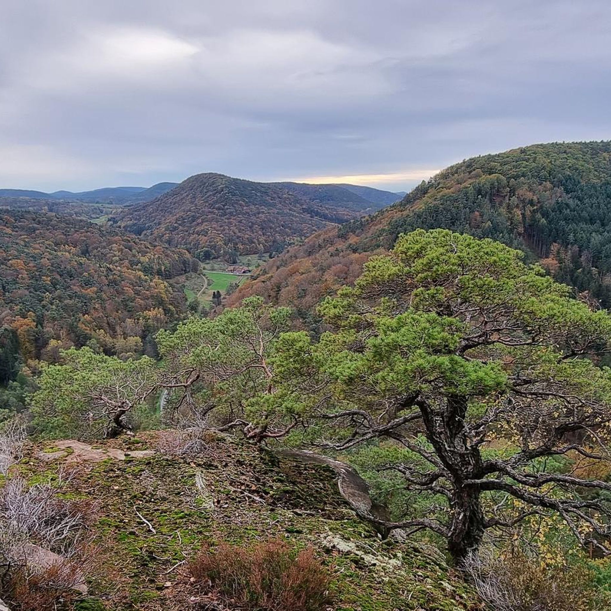
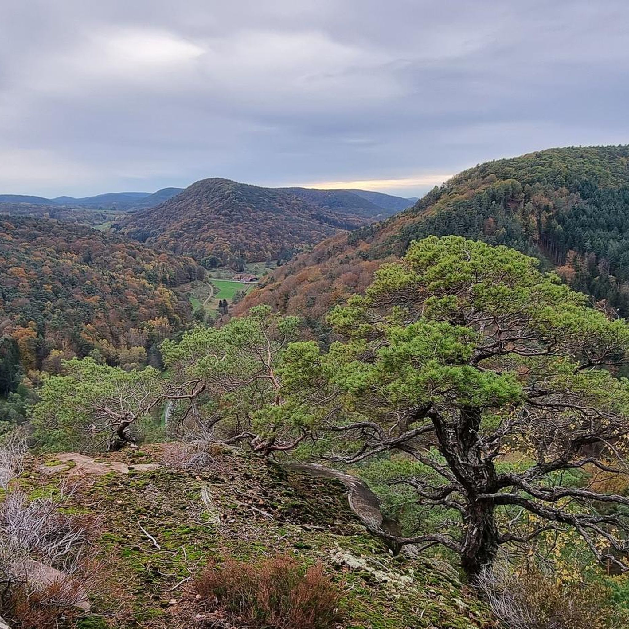
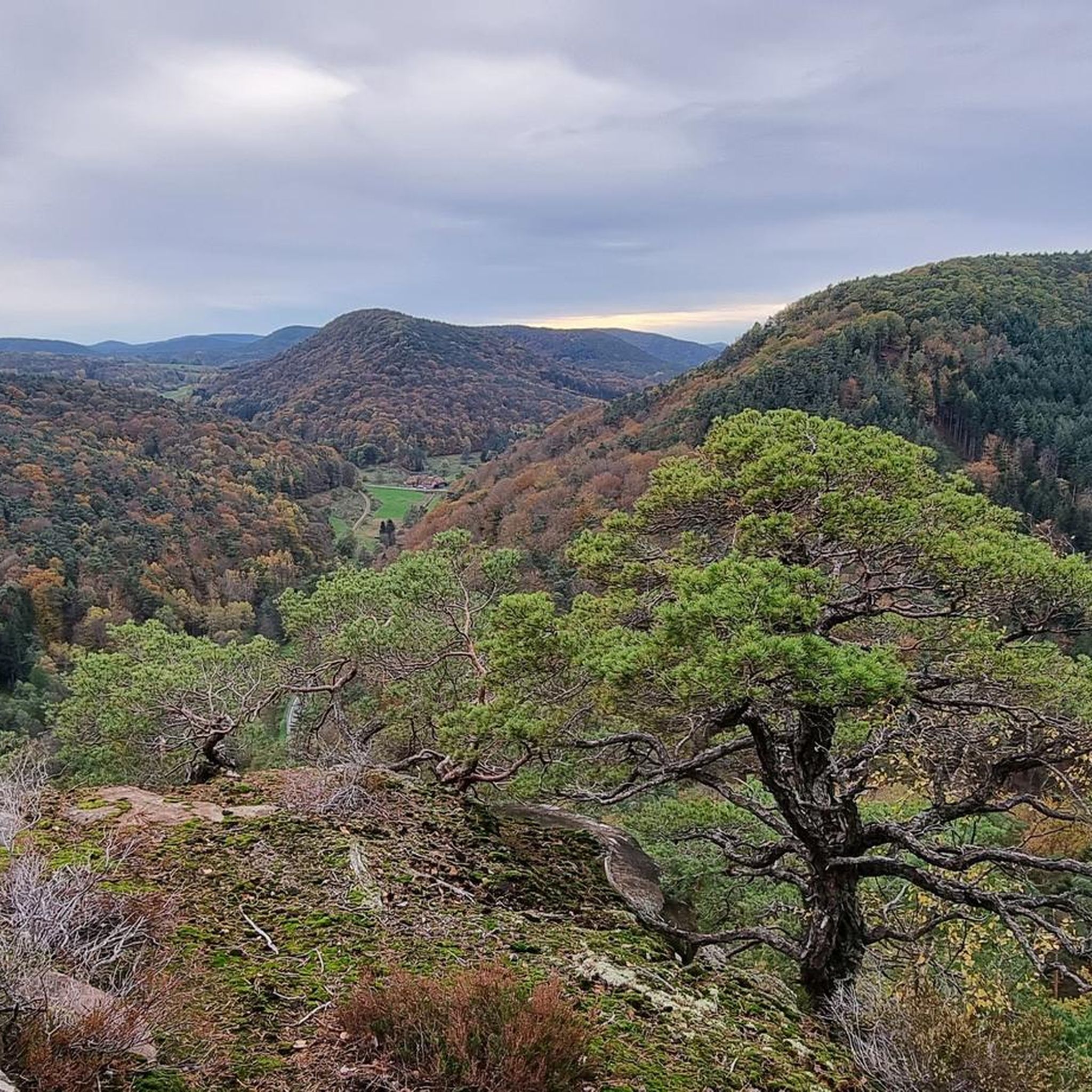
The Palatinate Forest, which rises to about 450 meters above sea level, is, in my opinion, the most beautiful low mountain range in Germany.
4
0
Frequently Asked Questions
What kind of terrain can I expect on mountaineering routes around Wernersberg?
Mountaineering around Wernersberg primarily takes you through the Palatinate Forest, characterized by dense woodlands, distinctive sandstone rock formations, and historic castle ruins. You'll encounter varied terrain, from moderate forest paths to more challenging ascents, with elevations typically involving several hundred meters of gain.
Are there any beginner-friendly mountaineering routes in Wernersberg?
Yes, while many routes involve moderate ascents, there are options suitable for those new to mountaineering. For a good introduction, consider the Hoher Kopf Rock Formation – Dimbach Oak Spot loop from Dimbach. It's a moderate 4.0-mile (6.5 km) trail that takes about 2 hours 11 minutes, leading through forested areas and past notable rock formations.
What are some of the longer mountaineering routes available?
For a more extended challenge, the Bishop’s Cross on Teufelsberg – Dreimärker Stone loop from Albersweiler (Pfalz) is a difficult 13.7-mile (22.1 km) route. It typically takes around 6 hours 49 minutes to complete and features significant elevation gain while exploring prominent rock formations.
Are there any circular mountaineering routes in the Wernersberg area?
Yes, the region is known for its well-marked circular routes. For example, the Am Horn Rock Formation – Keeshäwel Rock Formation loop from Dimbach is a moderate 6.1-mile (9.8 km) circular path offering a mix of forest trails and views of distinctive rock formations.
What historical sites or landmarks can I see along the mountaineering trails?
Many routes incorporate historical elements. You can explore the Falkenburg Ruins – Middle Deichenwand Viewpoint loop from Wilgartswiesen, which passes by the historic Falkenburg Ruins. Another option is the Altdahn Castle – Dahner Castle Group loop from Erfweiler, which takes you past the impressive Ruins of Altdahn Castle.
What do other mountaineers enjoy most about the routes in Wernersberg?
The komoot community highly rates the mountaineering routes around Wernersberg, with an average score of 4.7 stars from over 6 reviews. Reviewers often praise the diverse terrain, the well-marked paths, and the scenic views of the Palatinate Forest and its unique rock formations.
Are there any places to eat or drink near the mountaineering trails?
Yes, after your mountaineering adventure, you can find places to refresh. For instance, the Landau hut at the Zimmerbrunnen (PWV) is a popular hut in the area, offering a spot to rest and refuel.
What are some notable viewpoints or natural attractions in the Wernersberg area?
The region is rich in natural beauty and viewpoints. The Orensfels Viewpoint offers panoramic vistas, and you'll encounter unique geological features like the Kellerfels Rock Arch on some trails.
Is Wernersberg suitable for family mountaineering trips?
The varied network of routes in Wernersberg offers options for different ability levels. While specific 'family-friendly' routes aren't explicitly listed, the moderate, shorter circular routes, such as the 4.0-mile Hoher Kopf Rock Formation – Dimbach Oak Spot loop, could be suitable for families with some hiking experience.
What is the best time of year for mountaineering in Wernersberg?
The Palatinate Forest is beautiful year-round. Spring and autumn offer pleasant temperatures and vibrant foliage, making them ideal for mountaineering. Summer provides longer daylight hours, while winter can offer a unique, tranquil experience, though some paths might be more challenging due to weather conditions.
How many mountaineering routes are there around Wernersberg?
There are at least 5 distinct mountaineering routes detailed for the Wernersberg area, offering a range of distances and difficulties to explore the Palatinate Forest.
Most popular routes around Wernersberg
Most popular attractions around Wernersberg

Get inspired with the komoot mobile app


Explore more
Browse the best Mountain Hikes & Routes in other regions.
