The best walks and hikes around Queyrières
4.5
(84)
512
hikers
35
hikes
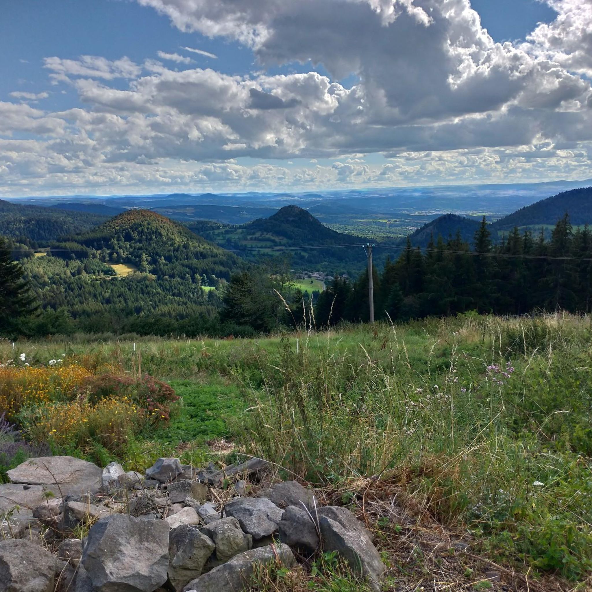
Hiking around Queyrières offers diverse trails through a landscape shaped by ancient volcanoes and basaltic rock formations. Situated within the "Pays des Sucs" in the Haute-Loire department, the region features dramatic volcanic organs, forested peaks, and expansive meadows. Elevations range from 949 to 1436 meters above sea level, providing a middle mountain environment ideal for varied hiking experiences. The Meygal massif, with its extensive forests covering 52% of the area, contributes to a rich natural setting for outdoor activities.
Best…
Last updated: June 30, 2026
4.3
(10)
75
hikers
13.9km
04:08
420m
410m
Moderate hike. Good fitness required. Easily-accessible paths. Suitable for all skill levels.
4.7
(3)
21
hikers
8.88km
02:43
310m
310m
Moderate hike. Good fitness required. Easily-accessible paths. Suitable for all skill levels.

Sign up for free
4.4
(5)
17
hikers
8.88km
02:48
360m
360m
Moderate hike. Good fitness required. Easily-accessible paths. Suitable for all skill levels.
4.7
(3)
19
hikers
8.60km
02:38
310m
300m
Moderate hike. Good fitness required. Easily-accessible paths. Suitable for all skill levels.
4.5
(4)
19
hikers
6.79km
02:03
220m
220m
Moderate hike. Good fitness required. Easily-accessible paths. Suitable for all skill levels.
Get access to more routes and recommendations from other explorers.
Sign up for free
Already have an account?
Our route recommendations are based on thousands of hikes, rides, and runs completed by other people on komoot.
Start today with a free account
Your next adventure awaits.
Login or Signup
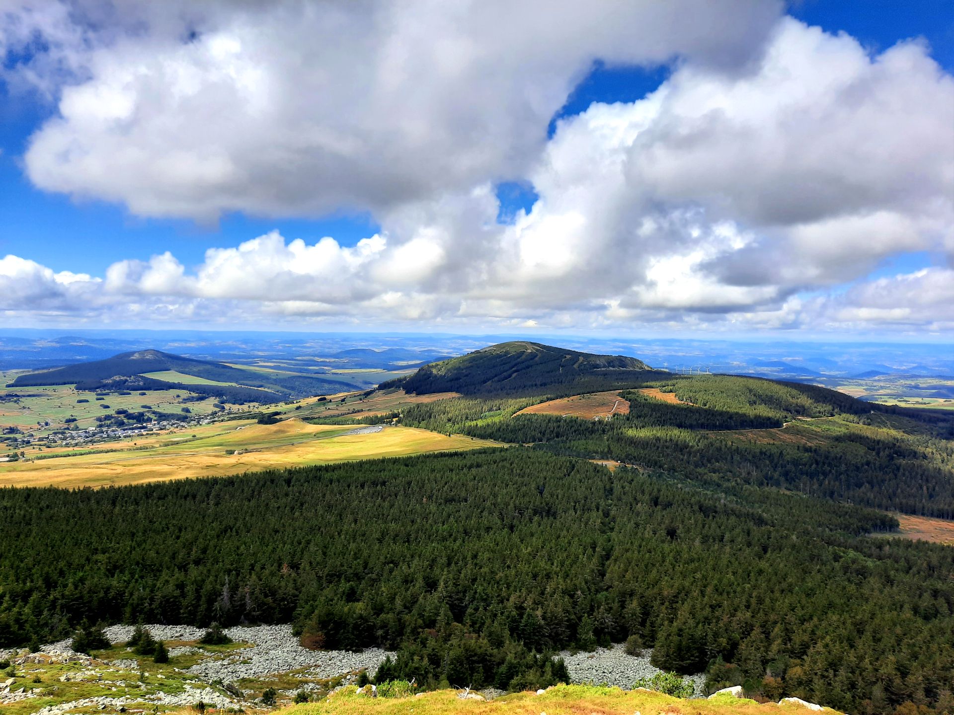
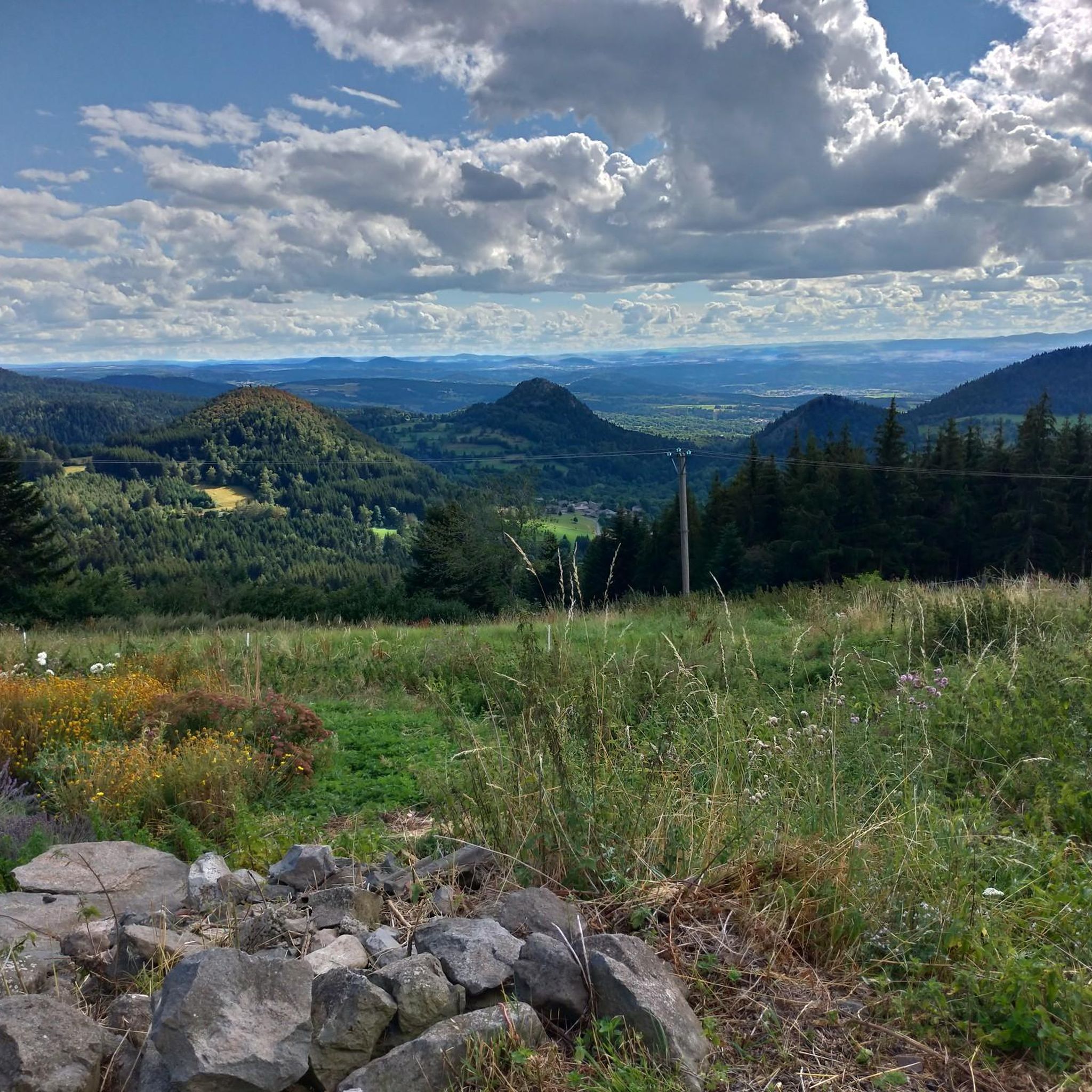
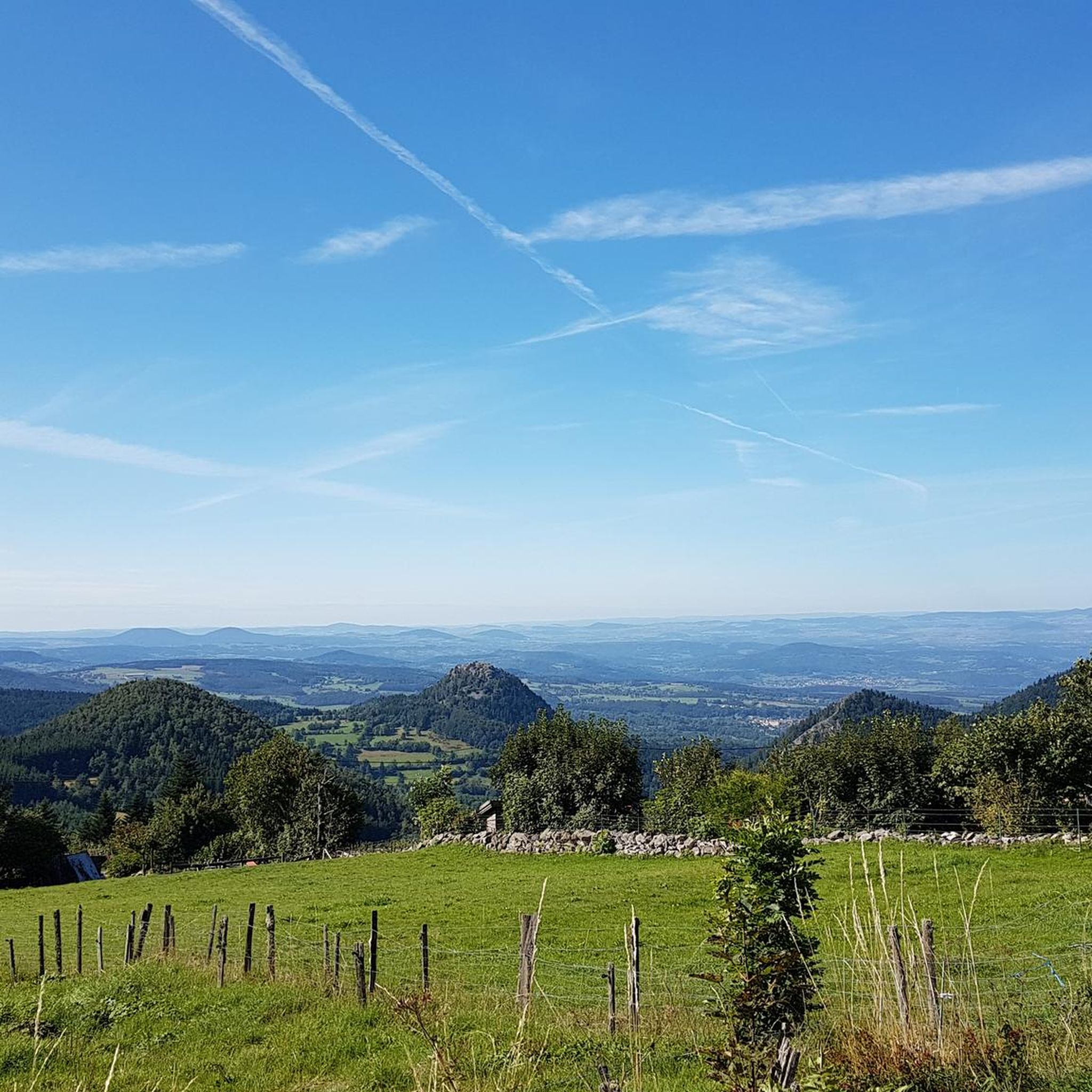

Other adventures around Queyrières

Tips from the Community

Beautiful viewpoint overlooking the village. Be careful on the climb to the cross; the rock is polished, and there's a risk of falling!
0
0

Some very muddy sections! Otherwise, a very pleasant route.
0
0

The highest point of Via Gennensis (1276 m). From here you have a fantastic view of the respective valley locations.
0
0

It is a place near the summit of Testavoyre, which can serve as a rest area in summer, as a refuge in winter.
0
0
This volcanic organ has the particularity of being right in the center of the village. Queyrières, is actually beat around this volcanic curiosity. Among the finest examples known to date of volcanic organs, the Devil's Tower in Wyoming in the USA, and the Giant's Steps on the Irish coast are at the top of the list. The Velay region has many. It is therefore not necessary to take the plane to observe these incredible basalt columns so regular that they are reminiscent of an organ or steps built by man. It is a natural phenomenon.
5
0

Impressive basalt organ, on which the small village of Queyrières is leaned. It is possible to go around the rock.
2
0

This is a volcanic cone of the extra class. You can see the solidified volcanic rock, here solidified in fairly regular cylinders, like an organ. A small village was built on this volcanic cone with a church worth seeing, Saint-Jean Baptiste. Hikers on the GR 65 are well advised to take the small detour to this beautiful old town. Right next to the church there is a climbing path that leads directly to the top of the volcanic cone. But you should only do this if you are sure-footed, have a head for heights and have alpine practice.
9
0

From this summit, you can enjoy a magnificent panoramic view of the volcanic landscapes: to the north the region of Yssingeaux with its volcanic belt, to the east the summit of Lizieux, to the south Saint-Front with a view of the Mézenc and to the southwest the mountains of Velay.
3
0
Frequently Asked Questions
How many hiking trails are available in Queyrières?
Queyrières offers a wide selection of hiking opportunities, with over 35 trails recorded on komoot. These routes cater to various skill levels, including 15 easy, 21 moderate, and 1 difficult trail.
What makes hiking in Queyrières unique?
Hiking in Queyrières is defined by its distinctive volcanic landscapes within the "Pays des Sucs." You'll encounter dramatic basaltic rock formations, ancient volcanoes like the Queyrières volcano with its organ-pipe-like columns, and the forested peaks of the Meygal massif. This geological history creates a truly unique and scenic hiking experience.
Are there any easy hiking trails suitable for families in Queyrières?
Yes, Queyrières has 15 easy hiking trails, many of which are suitable for families. These routes often explore the local village surroundings or offer gentler ascents through meadows and forests. For example, the area around the Greenway along the Siaulme river provides a pleasant, accessible path.
Can I bring my dog on the hiking trails in Queyrières?
Generally, dogs are welcome on hiking trails in Queyrières, especially in the natural outdoor environment. However, it's always advisable to keep them on a leash, particularly in areas with livestock or protected wildlife, and to check specific trail regulations if posted. Always ensure to clean up after your pet.
What are some notable natural landmarks or attractions to see while hiking?
While hiking in Queyrières, you can discover several impressive natural landmarks. The Queyrières volcano and its striking Basalt organ of Queyrières are central features. Mont Testavoyre, the commune's highest point, offers panoramic views. You might also encounter the Suc de Chapteuil or the dramatic Cirque de Billère.
Are there any circular hiking routes in Queyrières?
Yes, many of the trails in Queyrières are designed as circular routes, allowing you to start and end at the same point. An example is the Queyrières volcano – Monedeyres loop from Queyrières, which is a moderate 8.6 km path exploring the volcanic landscapes.
What is the best time of year to go hiking in Queyrières?
The best time for hiking in Queyrières is typically from spring through autumn (April to October) when the weather is mild and the trails are clear. During these months, you can fully appreciate the diverse landscapes. Winter (December to March) also offers opportunities for snowshoeing and cross-country skiing in the Espace Nordique du Meygal.
Are there options for more challenging hikes in the area?
While most trails are easy to moderate, Queyrières does offer some more challenging options, including one difficult trail. Ascents to peaks like Mont Testavoyre, such as the The Testavoyre – Monedeyres loop from La Banque, provide significant elevation gain and rewarding panoramic views for experienced hikers.
What do other hikers say about the trails in Queyrières?
The trails in Queyrières are highly rated by the komoot community, with an average score of 4.5 stars from around 80 reviews. Hikers often praise the unique volcanic scenery, the well-marked paths, and the varied terrain that offers both challenging ascents and peaceful forest walks.
Are there any long-distance hiking routes that pass through Queyrières?
Yes, Queyrières is situated along several well-known long-distance hiking routes. These include sections of the GR 430 (Saint-Régis path), the GR 40 (Tour of the Velay volcanoes), and the famous GR 65 (Path to Santiago de Compostela), offering extensive trekking opportunities.
Can I hike in Queyrières during winter?
Yes, hiking is possible in winter, though conditions change significantly. From December to March, the Espace Nordique du Meygal, located east of town, transforms into a winter sports area. It offers marked trails for cross-country skiing and snowshoeing, providing a different way to experience the snowy landscapes.
Are there any viewpoints offering panoramic scenery?
Absolutely. Mont Testavoyre, the highest point in the commune, provides breathtaking panoramic views of the Meygal "sucs" (volcanic peaks) and the surrounding landscape. The Montjoie Viewpoint is another excellent spot for scenic vistas.
Most popular routes around Queyrières
Most popular attractions around Queyrières

Get inspired with the komoot mobile app


Explore more
Browse the best Hikes in other regions.
