The best gravel rides around Queyrières
4.0
(8)
38
riders
5
rides
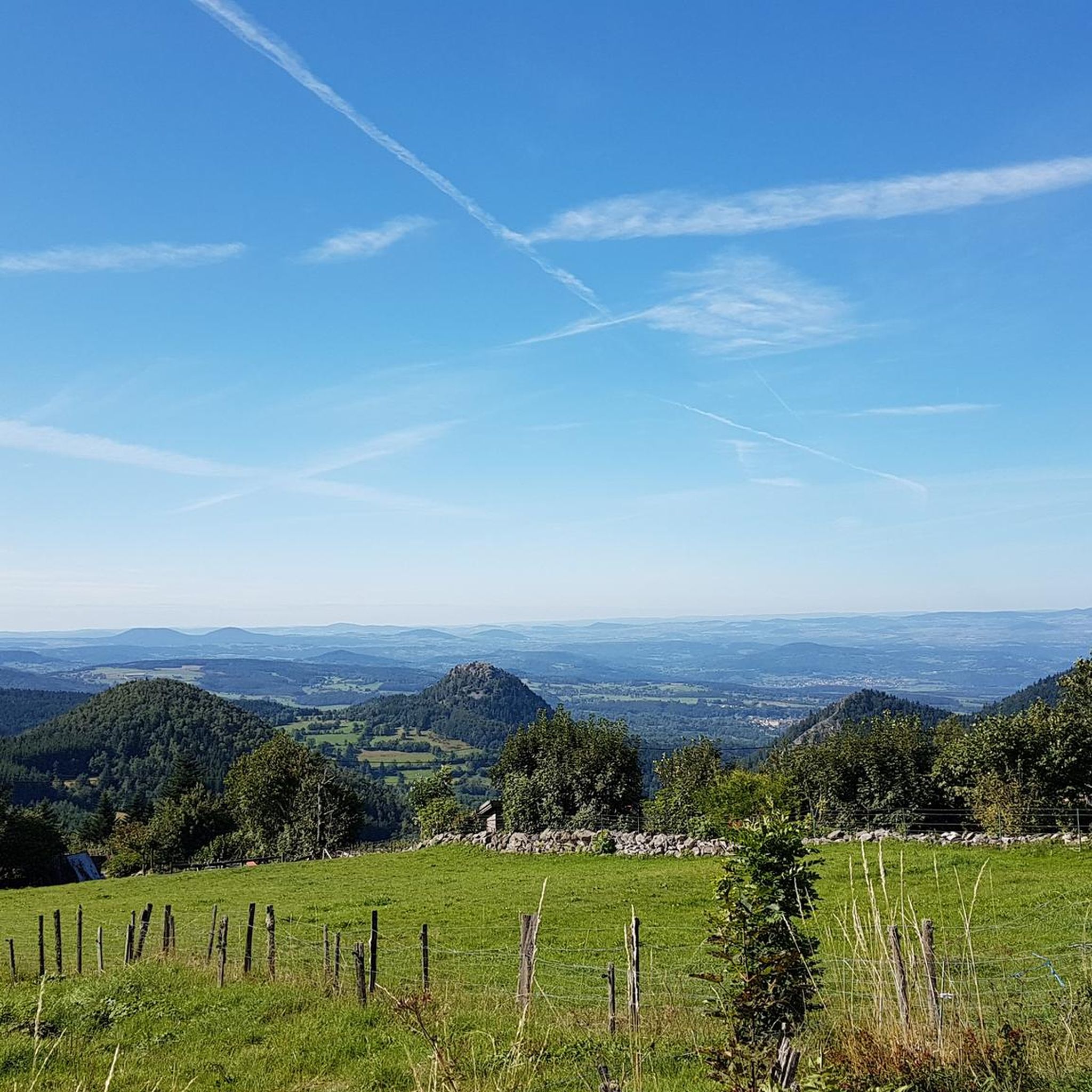
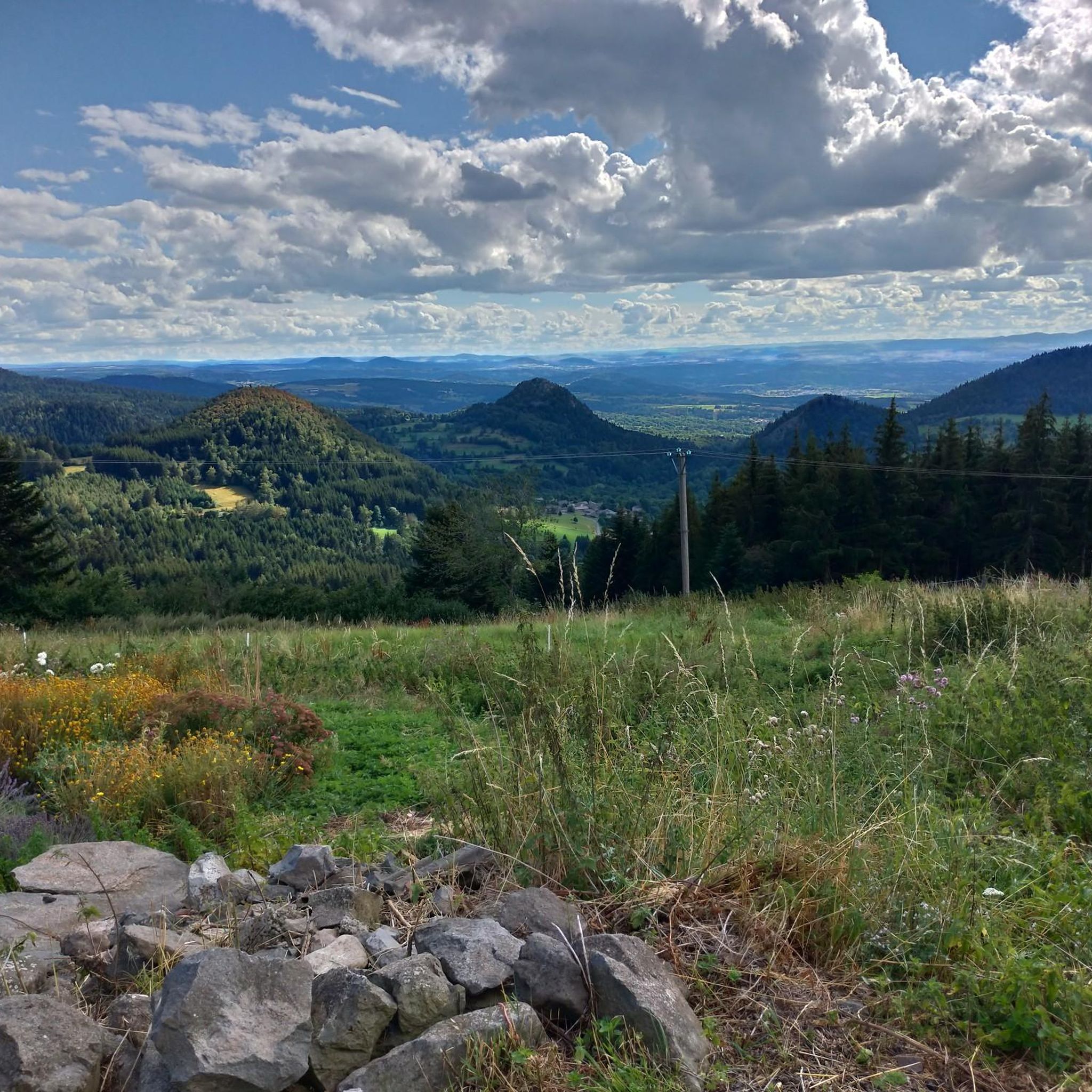
Gravel biking around Queyrières offers a diverse landscape characterized by deep ravines, historic viaducts, and tranquil lake areas. The region features varied terrain, including both challenging climbs and more moderate paths suitable for gravel bikes. Elevations range from gentle gradients to significant ascents, providing a dynamic riding experience.
Best gravel bike trails around Queyrières
- The most popular gravel bike trail is Corboeuf Ravine Viaduct – Viaduc de Chavalamard loop from Yssingeaux, a 35.7 miles (57.5 km) trail that takes about 4 hours 37 minutes to complete. This difficult route features significant elevation gain and passes by impressive viaducts.
- Another top favourite among local gravel bikers is Viaduc de Chavalamard – Corboeuf Ravine Viaduct loop from Rosières, a moderate 13.9 miles (22.3 km) path. This route offers a scenic ride through the landscape, including views of the Corboeuf Ravine.
- Local gravel bikers also love the Lake Lavalette – Lavalette Dam loop from Mazet-Saint-Voy, a 25.4 miles (40.8 km) trail leading through areas around Lake Lavalette and its dam, often completed in about 3 hours 44 minutes.
- Gravel biking around Queyrières is defined by deep ravines, historic viaducts, and scenic lake areas. The network offers options for both moderate and advanced ability levels.
- The routes in Queyrières are highly rated by the komoot community with an average score of 4.0 stars from more than 5 reviews. More than 30 gravel bikers have used komoot to explore Queyrières's varied terrain.
Last updated: July 5, 2026
4.0
(2)
13
riders
34.9km
02:03
480m
480m
Hard gravel ride. Very good fitness required. Mostly paved surfaces. Suitable for all skill levels.
4.7
(3)
6
riders
58.3km
03:46
800m
800m
Hard gravel ride. Very good fitness required. Mostly paved surfaces. Suitable for all skill levels.

Sign up for free
4.5
(2)
5
riders
22.1km
01:30
420m
420m
Moderate gravel ride. Good fitness required. Mostly paved surfaces. Suitable for all skill levels.
3.0
(1)
3
riders
40.8km
03:16
720m
720m
Hard gravel ride. Very good fitness required. Mostly paved surfaces. Suitable for all skill levels.
2
riders
18.0km
01:14
380m
380m
Moderate gravel ride. Good fitness required. Mostly paved surfaces. Suitable for all skill levels.
Our route recommendations are based on thousands of hikes, rides, and runs completed by other people on komoot.
Start today with a free account
Your next adventure awaits.
Login or Signup
Other adventures around Queyrières

Tips from the Community

In addition to a very warm welcome, full of simplicity and good humor, a timeless bakery, where the specialty breads are extraordinary! Special mention to the raisin rolls, perhaps the best in the world 🥰😊😋. The bakery's must-haves are generally only available on Sundays
1
0

very good route for the tour of the lake or even for training for a first triathlon 🚴♂️
0
0

Beautiful reservoir, the level is low currently because repairs are underway until 2026, but otherwise, it's a little Canada!
0
0

This small town in Haut-Lignon offers a gentle and peaceful atmosphere. Located in the heart of a unique natural environment, the town is built on the banks of du Lignon. It is a true haven of peace.
0
0
The Lavalette dam is 507 meters long and 60 meters high. This hydraulic dam was built in 1949 upstream of the Lignon river and retains the waters of Lake Lavalette, known for its water sports center.
0
0
Lake Lavalette is fed by the waters of the Lignon and covers 220 hectares at an altitude of 820 meters. The nautical leisure center offers plenty of activities such as catamaran rides, dinghy rides, windsurfing, and also equipment rental: kayaks, pedal boats, stand-up paddleboards, etc.
0
0
The Chemin du Mounas goes up from the Papeterie mill. You are here in the middle of the fields. The path is ideal for mountain biking or gravel.
0
0
Frequently Asked Questions
How many gravel bike trails are available around Queyrières?
There are 8 gravel bike trails available around Queyrières on komoot, offering a range of experiences from moderate to difficult. These routes are highly rated by the komoot community.
What do other gravel bikers enjoy about the trails in Queyrières?
The gravel bike trails around Queyrières are highly rated by the komoot community, with an average score of 4.0 stars from over 5 reviews. More than 30 gravel bikers have explored the varied terrain, often praising the deep ravines, historic viaducts, and scenic lake areas.
Are there easy gravel bike trails suitable for beginners in Queyrières?
While there are no routes specifically graded as 'easy', Queyrières offers 3 moderate gravel bike trails that could be suitable for beginners looking for a bit of a challenge. An example is the Viaduc de Chavalamard – Corboeuf Ravine Viaduct loop from Rosières, which is 13.9 miles (22.3 km) long.
Are there challenging gravel bike routes for experienced riders?
Yes, Queyrières features 5 difficult gravel bike routes for experienced riders. These routes often include significant elevation gain and cover longer distances. A challenging option is the Corboeuf Ravine Viaduct – Viaduc de Chavalamard loop from Yssingeaux, which spans 35.7 miles (57.5 km) with substantial climbing.
Are there circular gravel bike routes in Queyrières?
Yes, all the gravel bike routes listed in the Queyrières guide are circular loops. This allows you to start and finish at the same point, making logistics easier. For instance, the Lake Lavalette – Lavalette Dam loop from Mazet-Saint-Voy is a popular circular option.
What is the typical length of gravel bike trails in the Queyrières area?
The gravel bike trails in Queyrières vary in length, generally ranging from around 11 miles (18 km) to over 35 miles (57 km). This provides options for both shorter rides and longer, more enduring adventures.
Is there parking available near the gravel bike trails in Queyrières?
Many gravel bike routes around Queyrières start from towns and villages such as Yssingeaux, Rosières, Mazet-Saint-Voy, L'Olme, and Le Pertuis. These locations typically offer public parking facilities, making it convenient to access the trails.
What kind of scenery can I expect on the gravel bike trails around Queyrières?
The gravel bike trails around Queyrières offer a diverse landscape characterized by deep ravines, historic viaducts, and tranquil lake areas. You'll encounter varied terrain, from challenging climbs to more moderate paths, all set within the scenic beauty of the region.
Are there any notable viewpoints along the gravel bike routes?
Yes, the region offers several stunning viewpoints. You can find panoramic vistas such as the Montjoie Viewpoint and impressive sights like the View of the Corboeuf Ravine, which are often accessible from or near the gravel routes.
What natural attractions can I explore while gravel biking in Queyrières?
While gravel biking in Queyrières, you can explore unique natural attractions like the Basalt organ of Queyrières, the volcanic peak of Suc de Chapteuil, and the serene Lac de Saint-Front. These natural monuments add to the scenic appeal of the rides.
What is the best season for gravel biking in Queyrières?
The best season for gravel biking in Queyrières is typically from spring to autumn (April to October). During these months, the weather is generally milder and more stable, offering pleasant riding conditions. Summer can be warm, but the varied terrain provides shaded sections.
Are there any routes that pass by historic structures or landmarks?
Many routes in the region pass by or offer views of historic structures. For example, the Corboeuf Ravine Viaduct – Viaduc de Chavalamard loop from L'Olme takes you past impressive viaducts, which are significant landmarks in the area.
Most popular routes around Queyrières
Most popular attractions around Queyrières

Get inspired with the komoot mobile app


Explore more
Browse the best Gravel rides in other regions.
