The best road cycling routes around Aholfing
4.6
(497)
9,406
riders
446
rides
Road cycling routes around Aholfing are characterized by the flat terrain of the Lower Bavarian district of Straubing-Bogen, Germany. The region is situated near the Danube Floodplains and the Große Laber River, offering numerous paved and asphalted surfaces ideal for road cycling. Cyclists can expect routes that often follow river embankments, providing scenic views of the river landscape and surrounding meadows. The area's low elevation gain makes it suitable for varied ability levels.
Best road cycling routes around Aholfing
- The…
Last updated: May 24, 2026
4.0
(4)
41
riders
25.6km
00:58
40m
40m
Easy road ride. Great for any fitness level. Mostly well-paved surfaces and easy to ride.
30
riders
27.0km
01:02
50m
50m
Easy road ride. Great for any fitness level. Mostly well-paved surfaces and easy to ride.

Sign up for free
5.0
(1)
19
riders
Moderate road ride. Great for any fitness level. Some segments of this route may be unpaved and difficult to ride.
5.0
(2)
17
riders
35.1km
01:33
330m
330m
Moderate road ride. Good fitness required. Mostly well-paved surfaces and easy to ride.
5.0
(1)
15
riders
28.4km
01:07
80m
80m
Easy road ride. Great for any fitness level. Mostly well-paved surfaces and easy to ride.
Get access to more routes and recommendations from other explorers.
Sign up for free
Already have an account?
Our route recommendations are based on thousands of hikes, rides, and runs completed by other people on komoot.
Start today with a free account
Your next adventure awaits.
Login or Signup
Tips from the Community

The Straubing Lock was constructed in 1993 as part of the Straubing Weir project to ensure the navigability of the Danube. The lock chamber is located at Danube kilometer 2322.02. With a chamber length of 264 meters, it has a usable length of 230 meters and a usable width of 24 meters. The lock chamber is constructed of concrete and is closed at both the upper and lower gates by a double-leaf mitre gate. Each mitre gate weighs 83 tons. The 14-meter-high and 12-meter-wide steel gates rest on a spherical bearing. The chamber is filled and emptied via bypass channels, each with two bypass gates at the upper and lower gates. The chamber fills in 20 minutes with a lock water volume of 44,000 cubic meters. A lockage takes 25 minutes. The lock has a total capacity of 73,000 cubic meters. The level of the upper edge of the lock platform is 321.5 m above sea level (NN), and the level of the lower lock sill is 308.7 m above sea level (NN). For maintenance and repair work on the gates and closures, the lock is equipped with a gantry crane with a lifting capacity of 100 tons, which can be moved along the entire length of the lock. At the associated weir of the Straubing power plant, the design impoundment level is 320 m above sea level (NN). The water level of the lower lock basin is 313.75 m above sea level (NN) at mean water level (MTF) and 312.32 m above sea level (NN) at regulated low water level (RNW). The corresponding head is 6.25 meters at MTF and 7.68 meters at MTW. An information panel at the facility states the lock head as 6.21 m. The lock is remotely controlled from the WSV control center in Regensburg.[1] This control center also remotely operates the Geisling, Regensburg, and Bad Abbach locks. Originally, the Straubing lock was operated from the lock tower on site. Immediately below the lower lock gate, the Kagers Bridge crosses the Alte Donau lock canal. The Danube's kilometer markers show a discrepancy of 7.9 kilometers at the Straubing lock. Therefore, both kilometer markers 2330 and 2322 are present at the lock basin. Source: https://de.wikipedia.org/wiki/Schleuse_Straubing
0
0

is mostly nice and quiet, but drags on like chewing gum
0
0


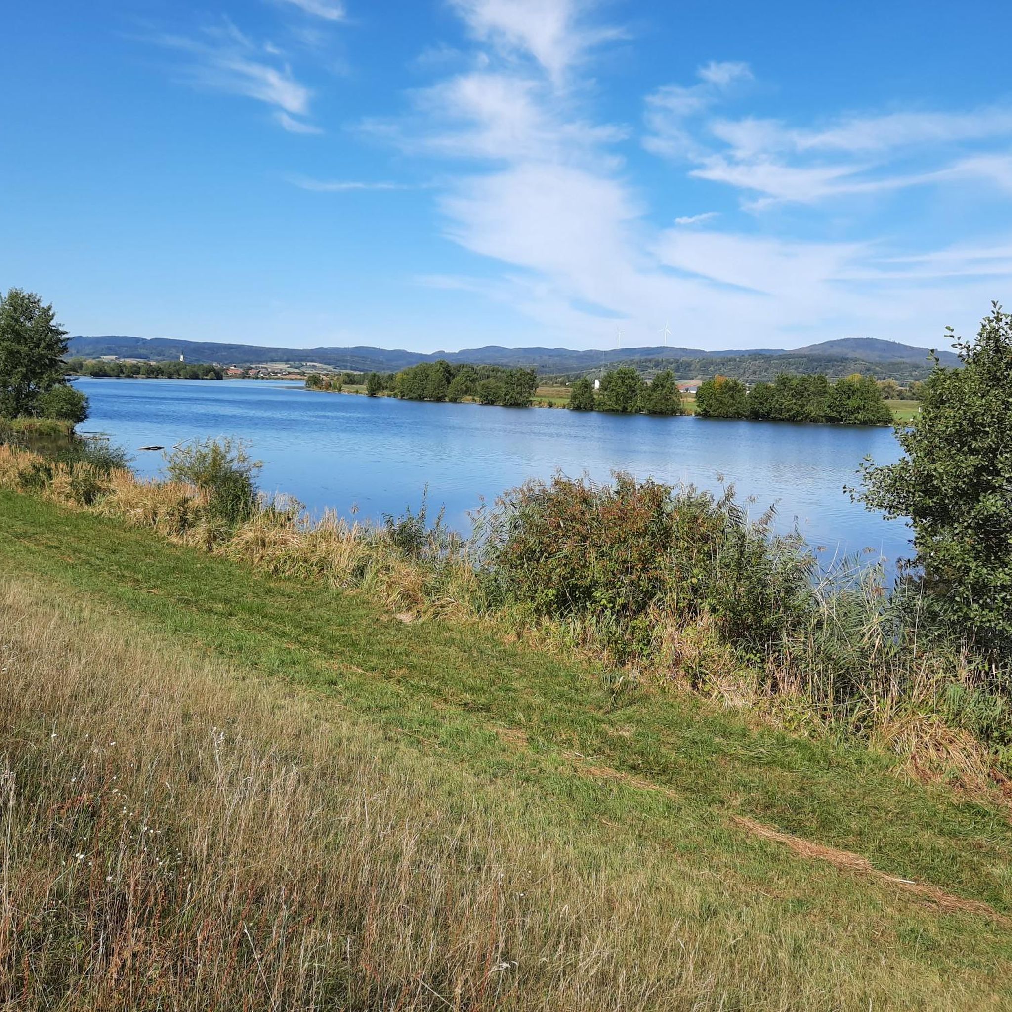
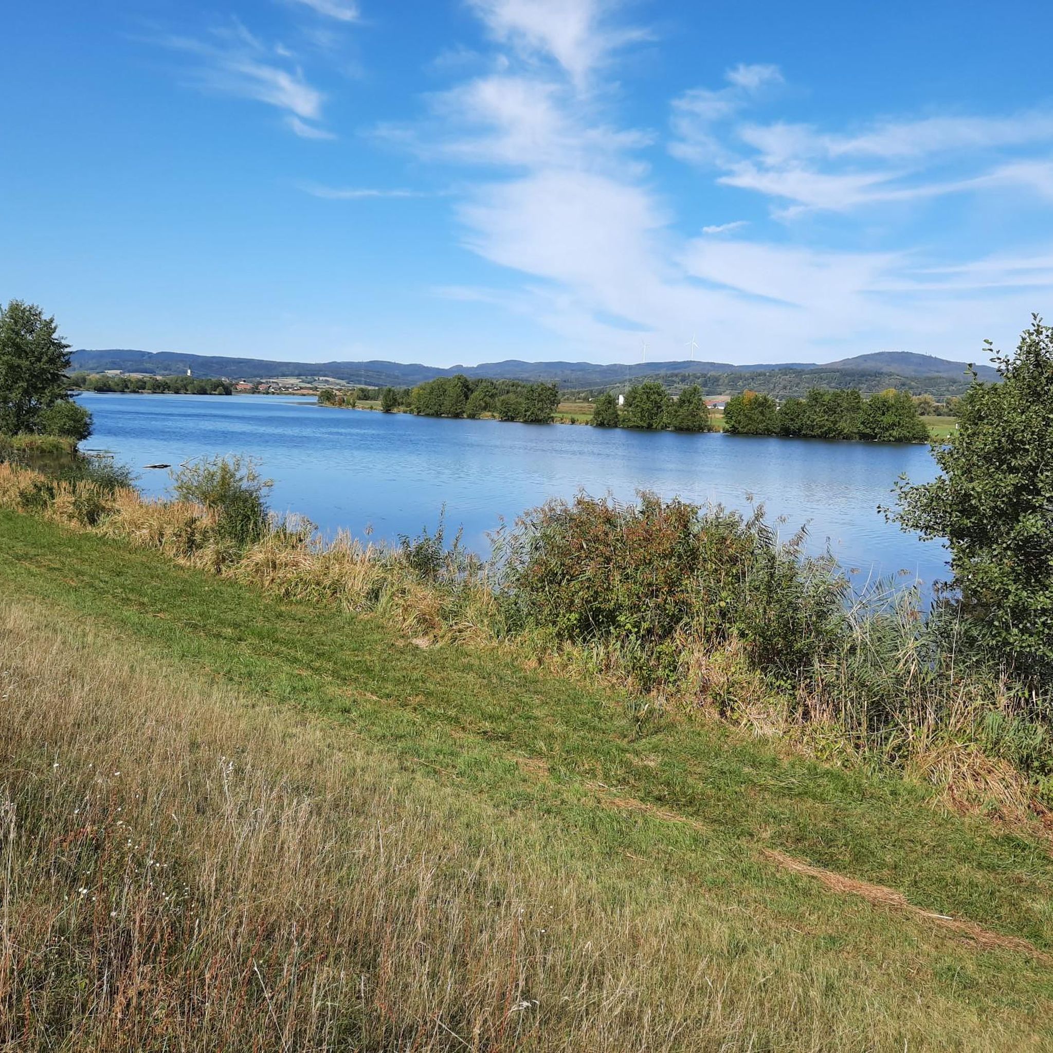
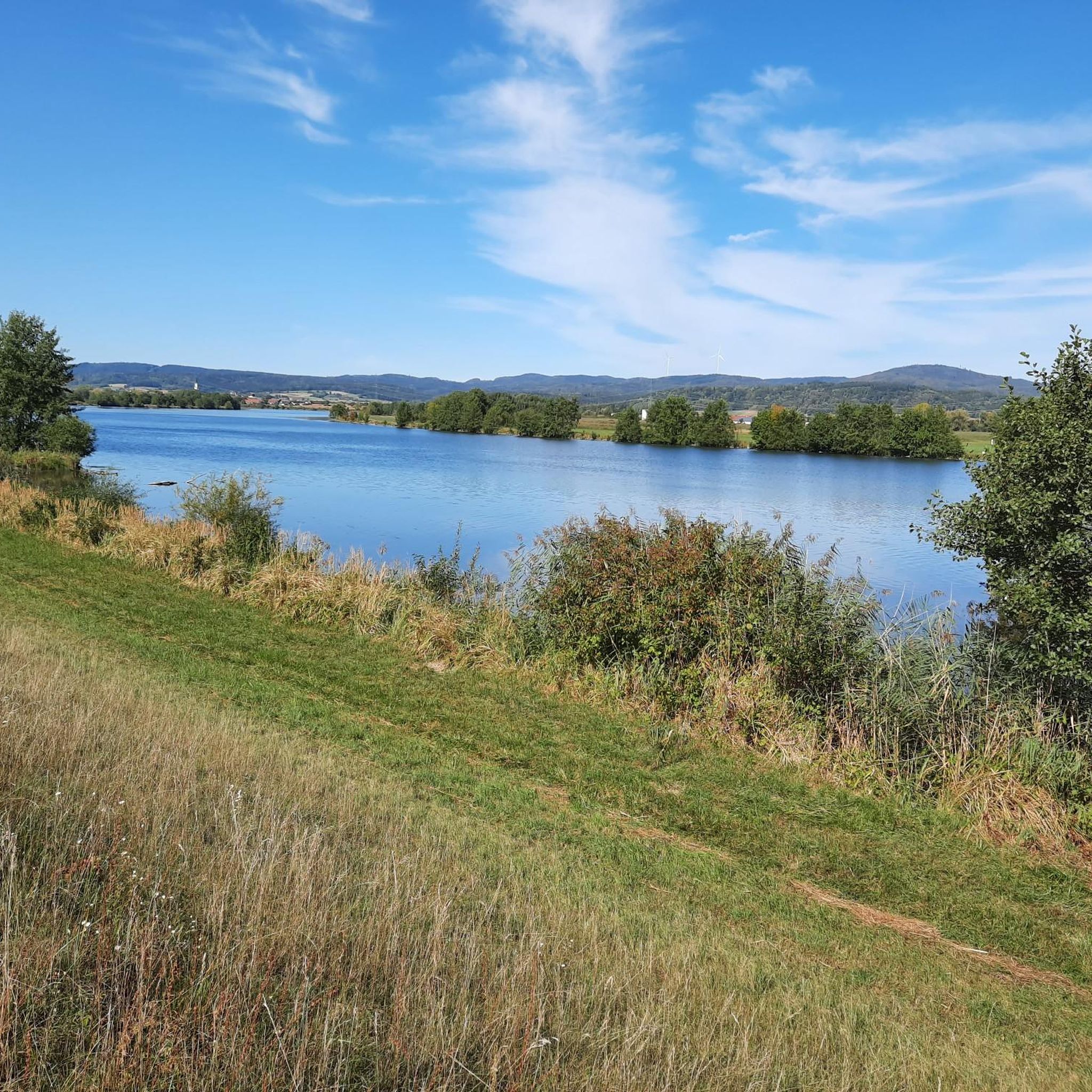
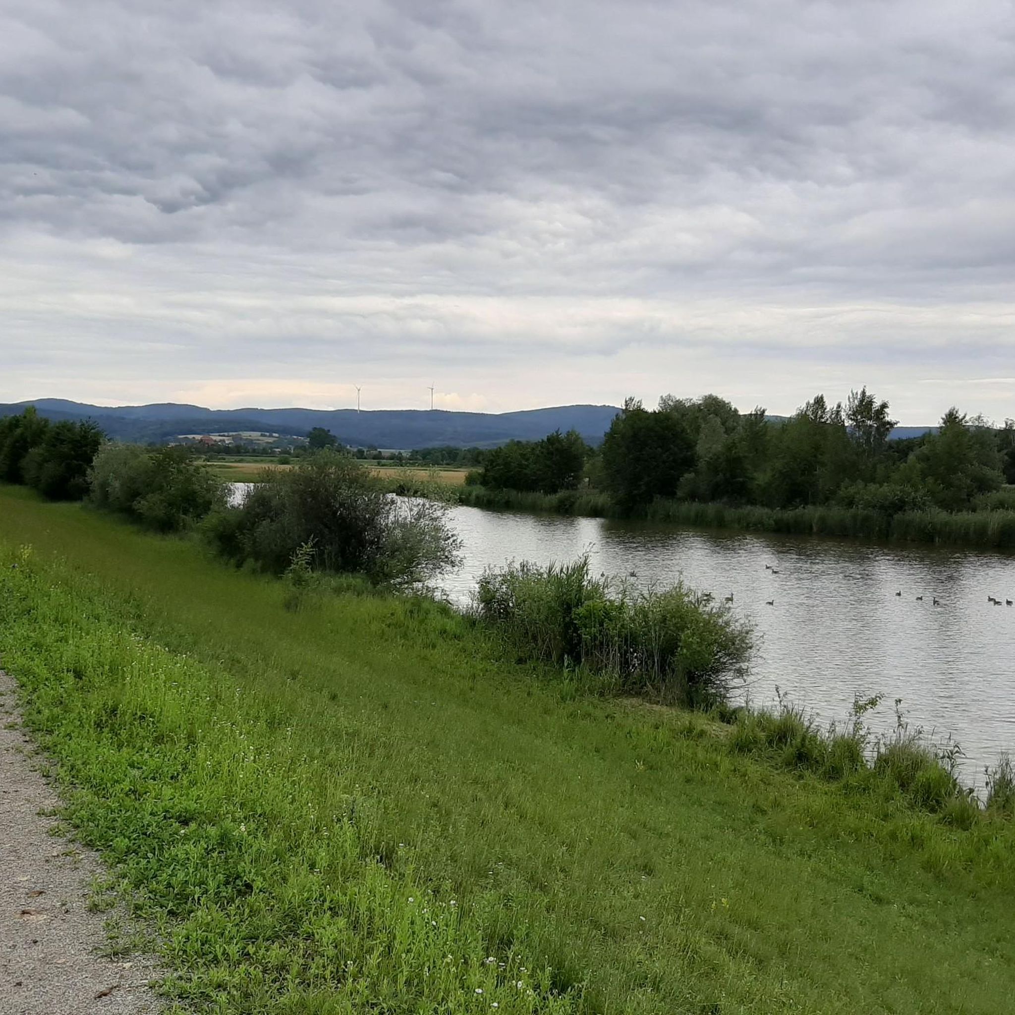
view of the river
4
0
Very nice bike path
4
0
Frequently Asked Questions
How many road cycling routes are available around Aholfing?
There are over 450 road cycling routes available around Aholfing, offering a wide variety of options for different skill levels and preferences.
What kind of terrain can I expect on road cycling routes in Aholfing?
Road cycling routes in Aholfing are primarily characterized by flat terrain, especially along the Danube and Große Laber rivers. You'll find many paved and asphalted surfaces, often following river embankments, providing scenic views of the river landscape and surrounding meadows. Some routes might include well-maintained rural roads or field paths, adding variety to your ride.
Are there routes suitable for beginners or those looking for an easy ride?
Yes, Aholfing is well-suited for beginners and those seeking easy rides, with 147 routes classified as easy. An excellent option is the Puchhof Castle – St. George's Church in Gmünd loop from Rain, an easy 15.9-mile (25.6 km) trail with minimal elevation gain, typically completed in about 1 hour.
Are there more challenging road cycling routes in the Aholfing area?
While the region is generally flat, there are 64 routes classified as difficult for those seeking more of a challenge. These routes might feature longer distances or slightly more varied terrain, though significant elevation gains are uncommon. For example, the Steinach Castle loop from Oberzeitldorn is a moderate 35.1 km route with over 300 meters of elevation gain.
What do other cyclists say about the road cycling routes in Aholfing?
The road cycling routes in Aholfing are highly rated by the komoot community, with an average score of 4.5 stars from over 480 reviews. Cyclists often praise the well-maintained paths, scenic river views, and the overall pleasant riding experience in the flat Danube floodplains.
What is the best time of year for road cycling in Aholfing?
The best time for road cycling in Aholfing is typically from spring through autumn. The mild weather and lush landscapes along the Danube and Große Laber rivers make for enjoyable rides. Summer offers longer daylight hours, while spring and autumn provide comfortable temperatures and beautiful scenery.
Are there any cultural or historical sights I can visit along the road cycling routes?
Absolutely! Many routes pass by or are close to cultural and historical attractions. For instance, the Ducal Castle Straubing 🏰 – Straubing Lock loop from Oberzeitldorn offers views of the Danube and passes by cultural landmarks. You can also explore highlights like the Ducal Castle Straubing 🏰 or the Holy Trinity Column at Theresienplatz in nearby Straubing.
Can I find scenic viewpoints or natural attractions on the routes?
Yes, the region offers numerous scenic views, especially along the Danube floodplains and the Große Laber river. You'll often ride through beautiful Danube meadows. Natural highlights include the Gmünder Au 🐸 Danube Wetland and the Rainer Forest Nature Reserve, which can be incorporated into longer tours.
Are there family-friendly road cycling routes in Aholfing?
Aholfing's flat terrain and well-maintained paths make it ideal for family-friendly road cycling. Many routes along the Danube and Große Laber are suitable for all ages, offering safe and enjoyable rides away from heavy traffic. The minimal elevation gain ensures a comfortable experience for families.
Are there circular road cycling routes available?
Yes, many road cycling routes around Aholfing are designed as loops, allowing you to start and end at the same point. Examples include the popular Puchhof Castle – St. George's Church in Gmünd loop from Rain and the St. George's Church in Gmünd – Puchhof Castle loop from Obermotzing, which takes you through the Danube floodplains.
Where can I find parking for road cycling routes in Aholfing?
Parking is generally available in and around Aholfing, especially near popular starting points for cycling routes. Many villages and towns along the Danube and Große Laber rivers, such as Straubing, offer designated parking areas suitable for cyclists. It's advisable to check local parking options for your chosen starting point.
Are there options for food and drink along the routes?
Yes, the region has various cafes and guesthouses in the villages and towns along the cycling routes. Straubing, in particular, offers numerous options for refreshments and meals. Planning your route to pass through these locations will ensure you have opportunities for breaks and sustenance.
Can I reach the starting points of road cycling routes by public transport?
Aholfing and nearby towns like Straubing are connected by public transport, including regional buses and trains. You can often reach starting points for cycling routes by utilizing these services, though it's recommended to check schedules and bicycle transport policies in advance.
Most popular attractions around Aholfing

Get inspired with the komoot mobile app


Explore more
Browse the best Road cycling routes in other regions.
