The best running trails around Oberweiler im Tal
4.5
(97)
1,074
runners
74
runs
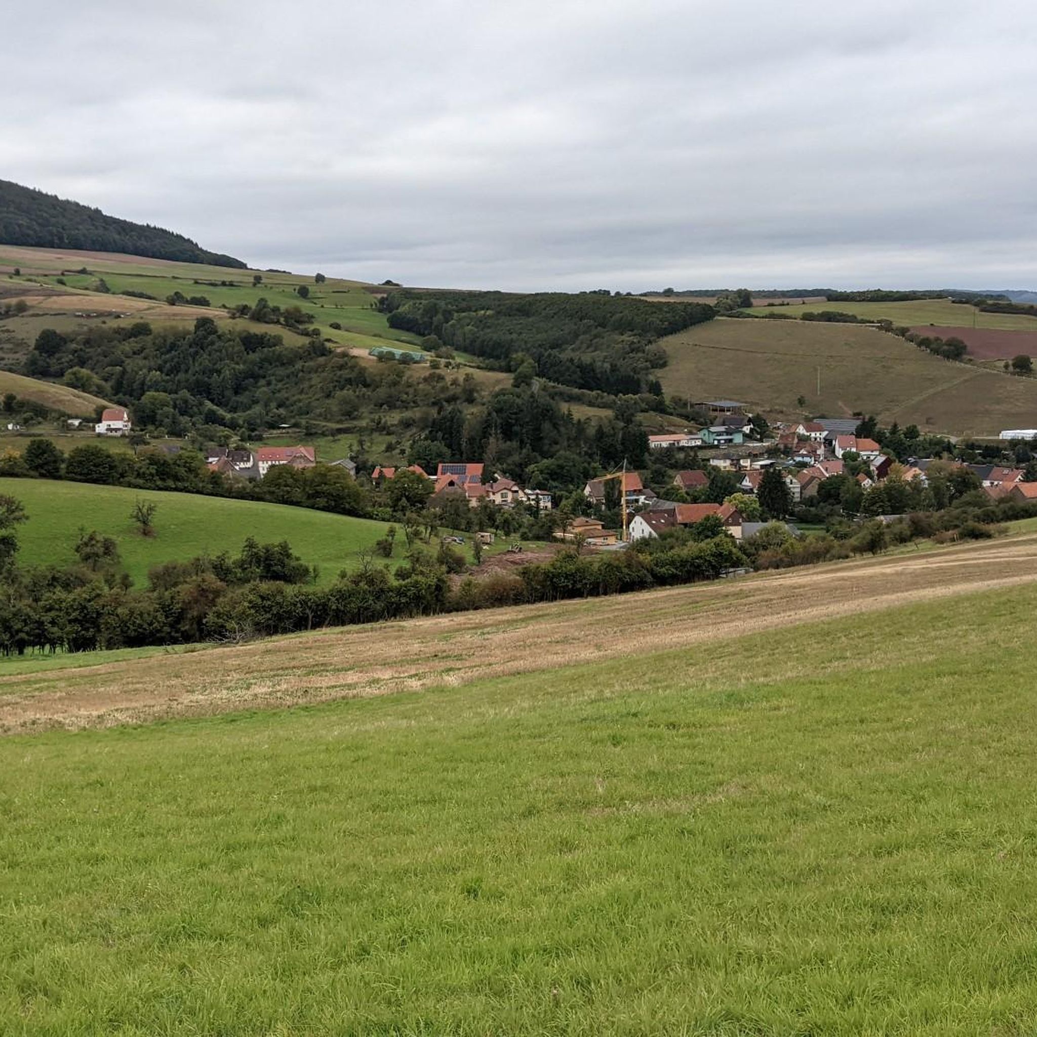
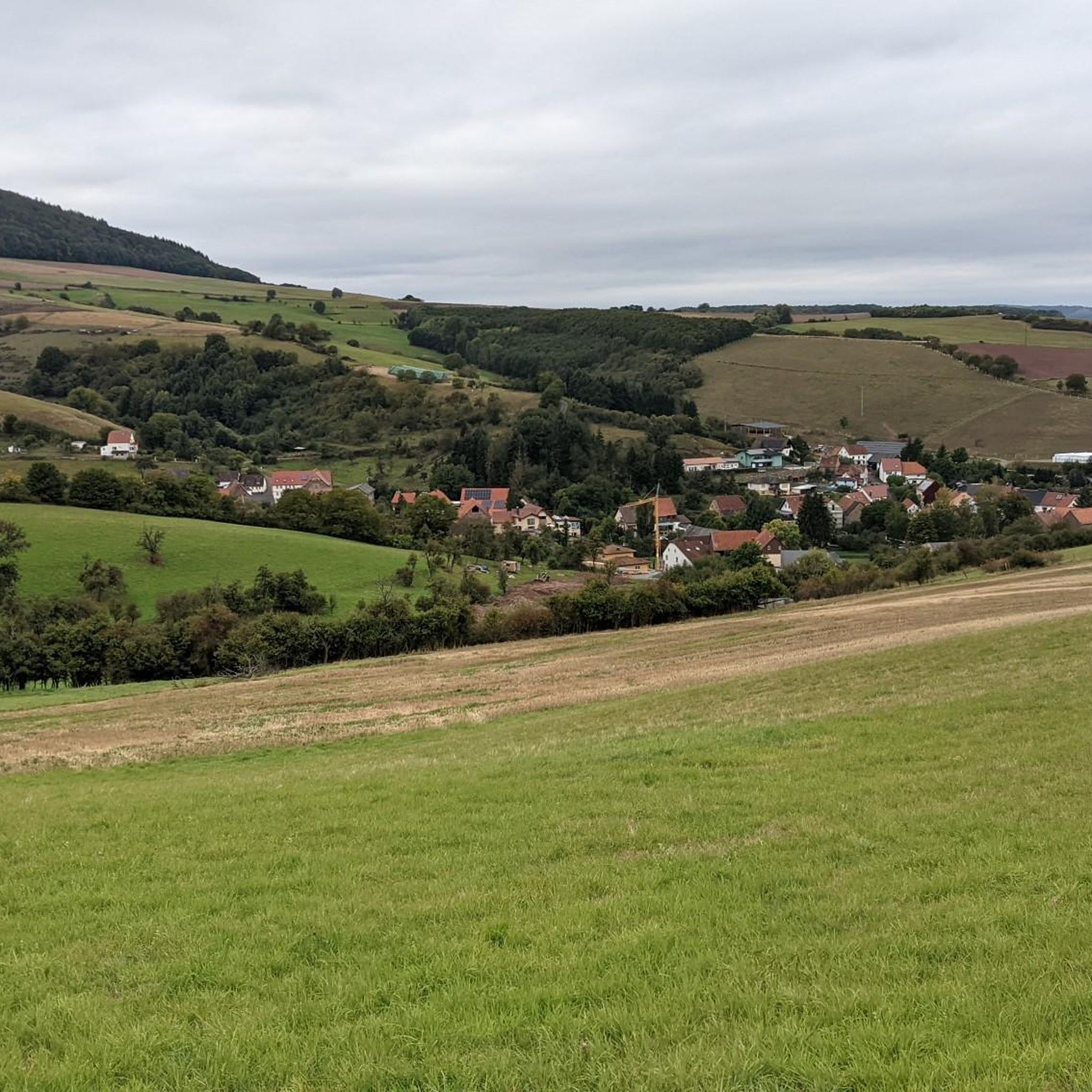
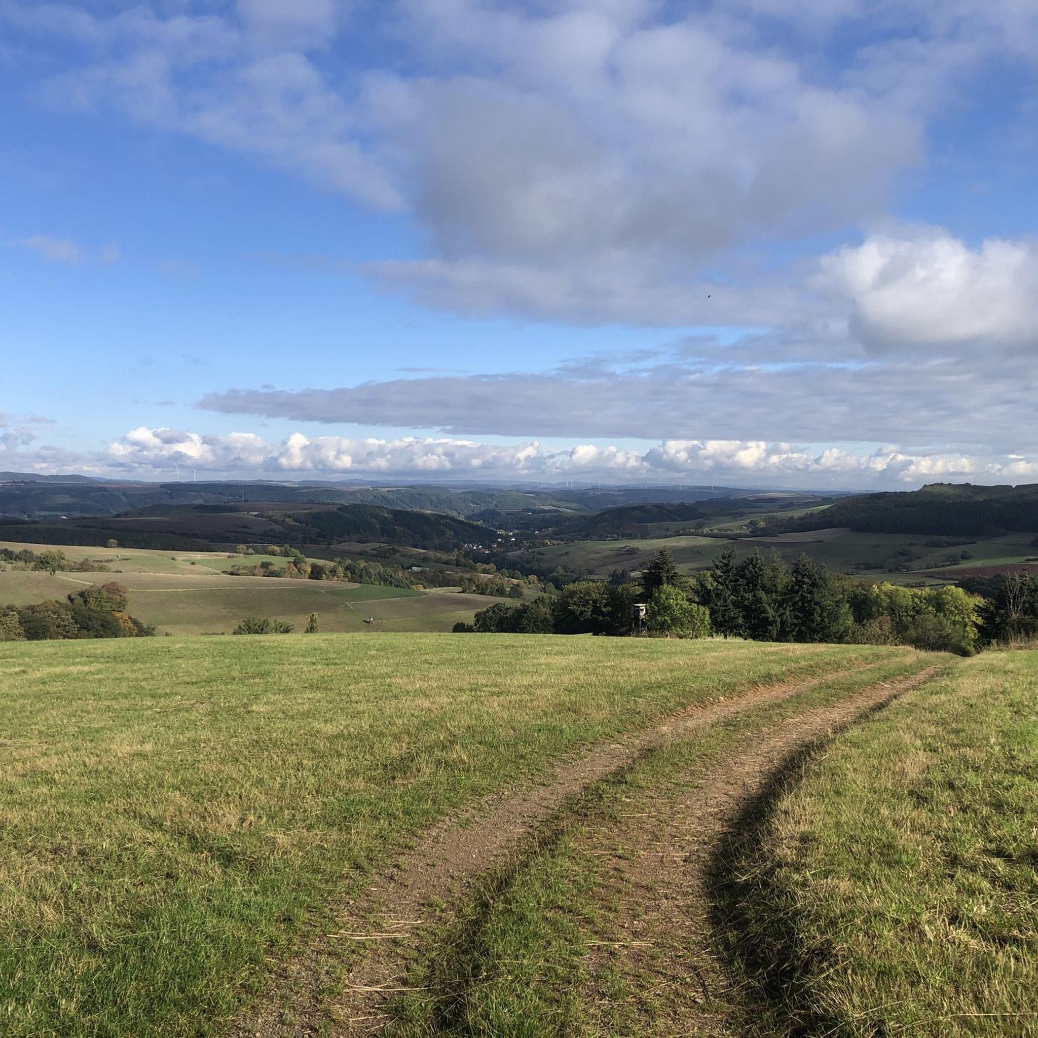
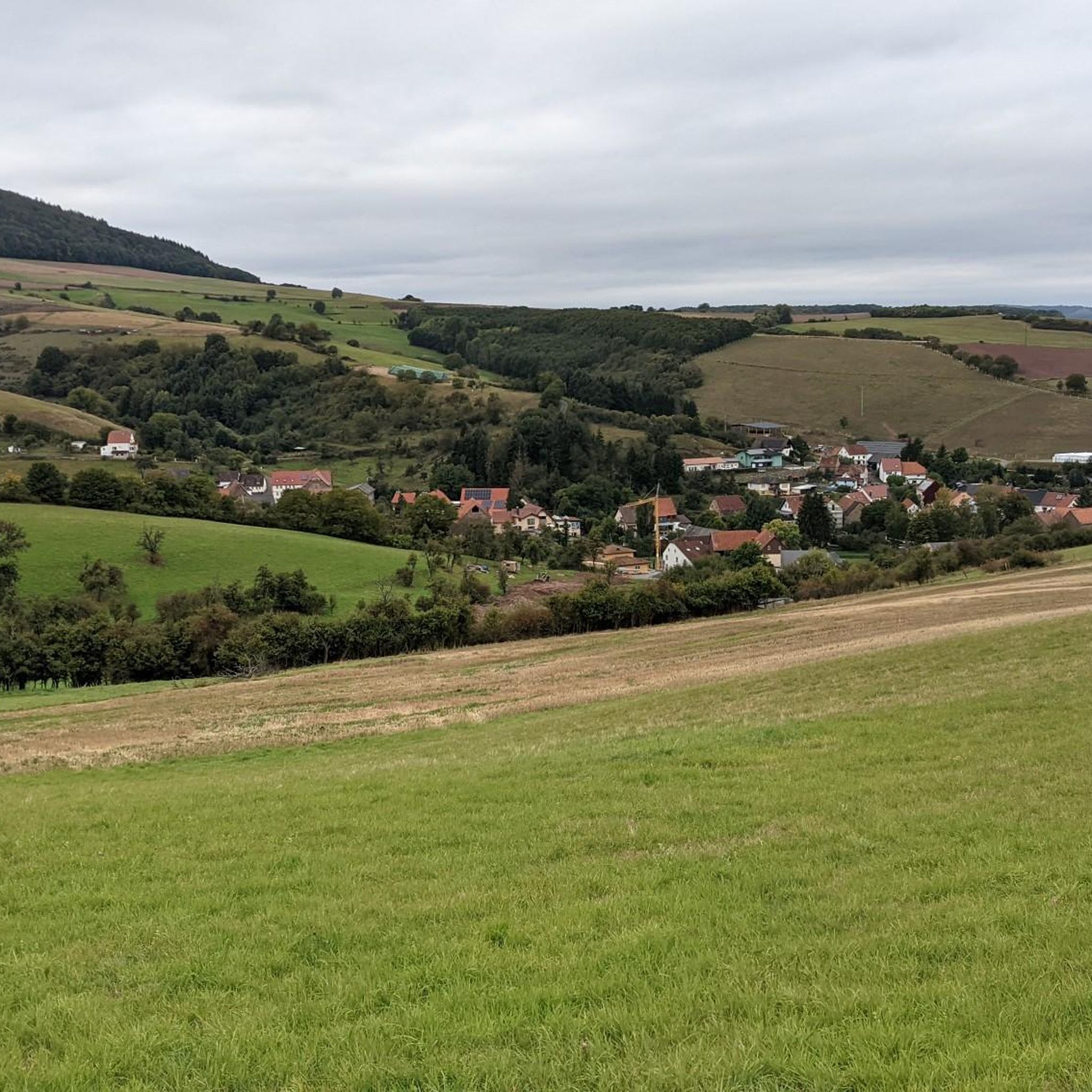
Jogging around Oberweiler im Tal offers a diverse landscape for runners. The region is characterized by a mix of historical castle ruins, elevated viewpoints, and river valleys, providing varied terrain for running. Trails often traverse forested areas and open fields, with some routes featuring significant elevation changes. This makes Oberweiler im Tal suitable for different running preferences, from gentle paths to more challenging ascents.
Best jogging routes around Oberweiler im Tal
- The most popular jogging route is Ruins of Neu-Wolfstein Castle – Potzberg Tower loop from Wolfstein, a 31.2 miles (50.3 km) trail that takes 6 hours 10 minutes to complete. This challenging route combines historical sites with panoramic views from Potzberg Tower.
- Another top favourite among local runners is View of Essweiler loop from Eßweiler, a moderate 5.8 miles (9.3 km) path. This route offers scenic vistas over Essweiler and the surrounding countryside.
- Local runners also love the Running loop from Glanbrücken, a 2.9 miles (4.6 km) trail leading through river valley landscapes, often completed in about 29 minutes.
- Jogging around Oberweiler im Tal is defined by historical castle ruins, elevated towers, and river valleys. The network offers options for different ability levels, including easy jogging routes and more difficult running trails.
- The routes in Oberweiler im Tal are highly rated by the komoot community with an average score of 4.4 stars from over 70 reviews. More than 700 runners have used komoot to explore Oberweiler im Tal's varied terrain.
Last updated: July 5, 2026
5.0
(1)
48
runners
50.3km
06:10
1,500m
1,500m
Hard run. Very good fitness required. Mostly accessible paths. Some sure footedness required.
5.0
(1)
19
runners
19.3km
02:29
710m
710m
Hard run. Very good fitness required. Sure-footedness, sturdy shoes and alpine experience required.

Sign up for free
12
runners
15.2km
01:53
510m
510m
Hard run. Very good fitness required. Sure-footedness, sturdy shoes and alpine experience required.
4.0
(11)
10
runners
9.30km
01:05
200m
200m
Moderate run. Good fitness required. Mostly paved surfaces. Suitable for all skill levels.
10
runners
Hard run. Very good fitness required. Sure-footedness, sturdy shoes and alpine experience required.
Get access to more routes and recommendations from other explorers.
Sign up for free
Already have an account?
Our route recommendations are based on thousands of hikes, rides, and runs completed by other people on komoot.
Start today with a free account
Your next adventure awaits.
Login or Signup

Tips from the Community

The Potzbergturm is a 35-meter-high sandstone tower on the 562-meter-high Potzberg near Föckelberg (Kusel district). It was built in 1951 (inauguration 13.07.1952), offers a wide view over the Palatinate Forest to the Vosges mountains and is a popular excursion destination. Next to the tower, there is a wildlife park, a falconry, and a hotel-restaurant (closed). It is located on the summit of Potzberg, near Föckelberg (Westpfalz) and offers a panoramic view over Westpfalz, the Palatinate Forest, and up to the Hunsrück/Vosges.
1
0
The Potzbergturm is a 35-meter-high sandstone tower on the 562-meter-high Potzberg near Föckelberg (Kusel district). It was built in 1951 (inauguration 13.07.1952), offers a wide view over the Palatinate Forest to the Vosges and is a popular destination. Next to the tower, there is a wildlife park, a falconry, and a hotel-restaurant. It is located on the summit of Potzberg, near Föckelberg (Westpfalz) and offers a panoramic view over Westpfalz, the Palatinate Forest, and up to the Hunsrück/Vosges. Opening hours: There are no specific, official closing times for the tower.
1
0
The Potzbergturm is a 35-meter-high sandstone tower on the 562-meter-high Potzberg near Föckelberg (Kusel district). It was built in 1951 (inauguration 13.07.1952), offers a wide view over the Palatinate Forest to the Vosges mountains and is a popular excursion destination. Next to the tower, there is a wildlife park, a falconry, and a hotel-restaurant. It is located on the summit of Potzberg, near Föckelberg (Westpfalz) and offers a panoramic view over Westpfalz, the Palatinate Forest, and up to the Hunsrück/Vosges. Opening hours: There are no specific, official closing times for the tower.
1
0

Great view over the Palatinate region!
0
0

A fantastic marble run, right in the middle of the forest. With many beautiful tracks and seating areas. Don't forget your €1 coins, because that's the only way to get a marble!
1
0

This marble run is a really great idea. We had a lot of fun. Highly recommended for adults too. You should have a euro with you, though, or you won't get a marble.
2
0

The wolf fountain on the town hall square in Wolfstein pays homage to the town's name, which dates back to a historic noble line, the Lords of Wolfstein. The wolf in the fountain symbolizes the naming and, as a heraldic animal, represents the town's historical connection to this line, which named itself after the town in the late 13th century.
3
0

The path there was a bit difficult to find and is steep and because of the dryness the ground is quite loose
0
0
Frequently Asked Questions
How many running routes are available around Oberweiler im Tal?
There are over 70 running routes in the Oberweiler im Tal area, catering to various fitness levels and preferences.
Are there easy running routes suitable for beginners in Oberweiler im Tal?
Yes, Oberweiler im Tal offers 13 easy running routes. A good option for a gentle run is the Running loop from Glanbrücken, which is 2.9 miles (4.6 km) long and takes about 29 minutes through river valley landscapes.
What kind of terrain can I expect on the jogging trails in Oberweiler im Tal?
The region features a diverse landscape, with trails traversing forested areas, open fields, and river valleys. You'll find a mix of historical castle ruins, elevated viewpoints, and varied terrain, including some routes with significant elevation changes.
Are there any scenic running routes with good viewpoints?
Absolutely. Many routes offer panoramic views. For example, the View of Essweiler loop from Eßweiler provides scenic vistas over Essweiler and the surrounding countryside. The area is also known for elevated towers and castle ruins that offer great perspectives.
Can I find longer running trails for more challenging workouts?
Yes, there are several challenging routes for experienced runners. The Ruins of Neu-Wolfstein Castle – Potzberg Tower loop from Wolfstein is a demanding 31.2 miles (50.3 km) trail that combines historical sites with panoramic views from Potzberg Tower.
Are there any historical landmarks or attractions along the running paths?
Yes, the region is rich in history. Many routes pass by or offer views of historical sites. You can explore the Ruins of Neu-Wolfstein Castle or the Keep of Alt-Wolfstein Castle. The Keep of Alt-Wolfstein Castle – Ruins of Neu-Wolfstein Castle loop from Rothselberg is a great option to combine running with exploring these historical sites.
What do other runners enjoy most about the trails in Oberweiler im Tal?
The running routes in Oberweiler im Tal are highly rated by the komoot community, with an average score of 4.4 stars from over 70 reviews. Runners often praise the varied terrain, the combination of historical sites with natural beauty, and the well-maintained paths suitable for different ability levels.
Are there any loop running trails in the area?
Many of the running routes around Oberweiler im Tal are designed as loops, offering convenient starting and ending points. Examples include the Running loop from Eßweiler and the Running loop from Glanbrücken.
What is the typical duration for a running route in Oberweiler im Tal?
Running route durations vary significantly based on distance and difficulty. You can find short runs like the 29-minute Running loop from Glanbrücken, moderate options like the View of Essweiler loop from Eßweiler which takes about 1 hour 5 minutes, and challenging long-distance trails that can take over 6 hours.
Are the running trails around Oberweiler im Tal suitable for families?
While specific 'family-friendly' designations aren't always available, the 13 easy routes in the area are generally suitable for those looking for less strenuous options. These often feature gentler inclines and well-maintained paths, which can be more comfortable for families running together.
Can I bring my dog on the running trails in Oberweiler im Tal?
Most natural trails in the Oberweiler im Tal region are generally dog-friendly, provided dogs are kept on a leash and owners clean up after them. It's always a good idea to check local regulations or signage at trailheads for specific rules regarding pets.
Most popular routes around Oberweiler im Tal
Most popular attractions around Oberweiler im Tal

Get inspired with the komoot mobile app


Explore more
Browse the best Running Trails & Routes in other regions.
