The best walks and hikes around Oberweiler im Tal
4.6
(2691)
9,615
hikers
662
hikes
Hiking around Oberweiler im Tal offers diverse landscapes within the Eßweiler Tal of the North Palatine Uplands. The region features rolling hills, dense forests, and river valleys, with the Königsberg and Hermannsberg forming prominent elevations. The Jettenbach and Prüm River contribute to the scenic beauty, providing varied terrain for outdoor activities. The area is characterized by a mix of natural features and historical sites, including castle ruins.
Best hiking trails around Oberweiler im Tal
- The most popular hiking route is…
Last updated: June 27, 2026
4.9
(9)
22
hikers
8.06km
02:18
190m
180m
Moderate hike. Good fitness required. Easily-accessible paths. Suitable for all skill levels.
4.5
(4)
25
hikers
6.14km
01:44
130m
130m
Easy hike. Great for any fitness level. Easily-accessible paths. Suitable for all skill levels.

Sign up for free
4.7
(6)
25
hikers
9.19km
02:39
230m
230m
Moderate hike. Good fitness required. Easily-accessible paths. Suitable for all skill levels.
5.0
(1)
17
hikers
9.89km
03:09
410m
410m
Moderate hike. Good fitness required. Easily-accessible paths. Suitable for all skill levels.
5.0
(4)
10
hikers
6.40km
02:01
260m
260m
Moderate hike. Good fitness required. Easily-accessible paths. Suitable for all skill levels.
Get access to more routes and recommendations from other explorers.
Sign up for free
Already have an account?
Our route recommendations are based on thousands of hikes, rides, and runs completed by other people on komoot.
Start today with a free account
Your next adventure awaits.
Login or Signup

Tips from the Community

Unfortunately, during our visit there was little water and it was dirty
0
0


A historic workers' settlement from the 1920s at approximately 500 meters above sea level, it is characterized by the original basalt houses of the former quarry colony. From 1952 to 1965, there was a school here for the children of the quarry workers. Tip: Combine your visit with the popular hike or bike ride up to the top – the combination of impressive architecture, gentle elevation, and idyllic location makes the Schneeweiderhof a special stopover.
0
0
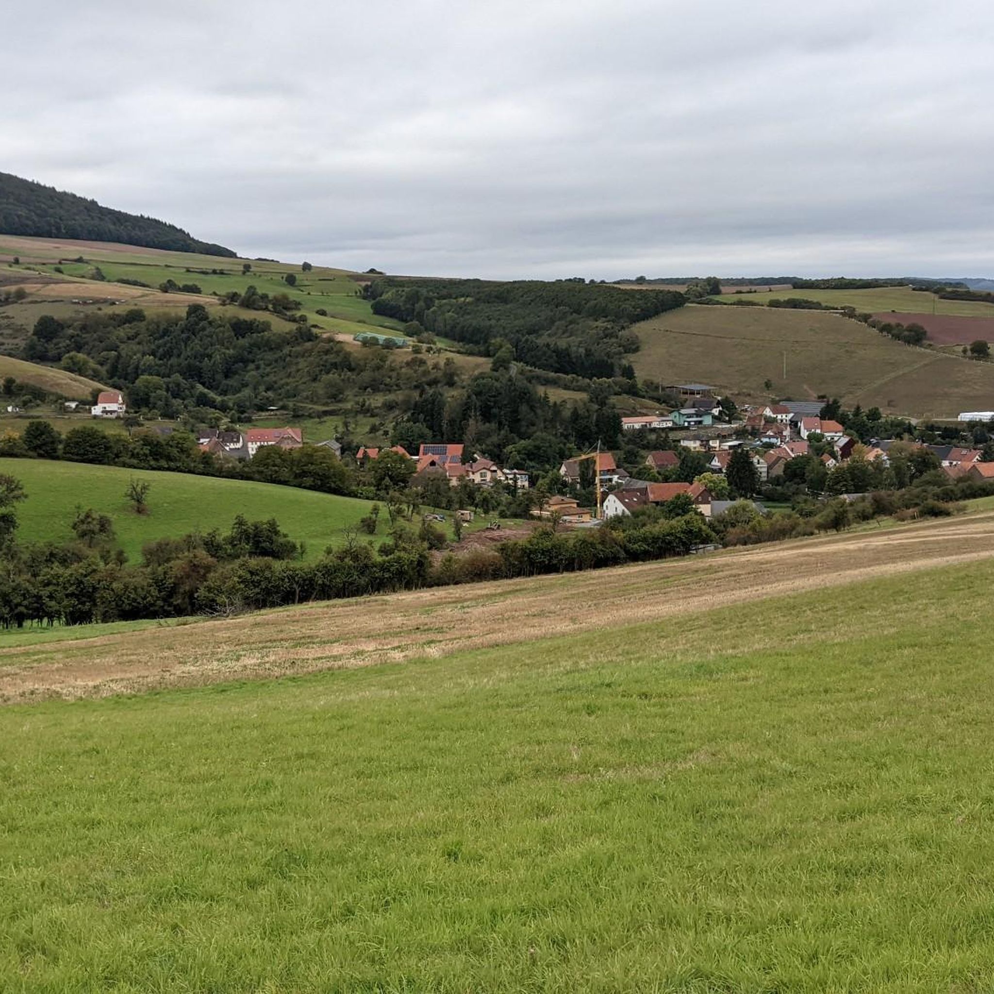
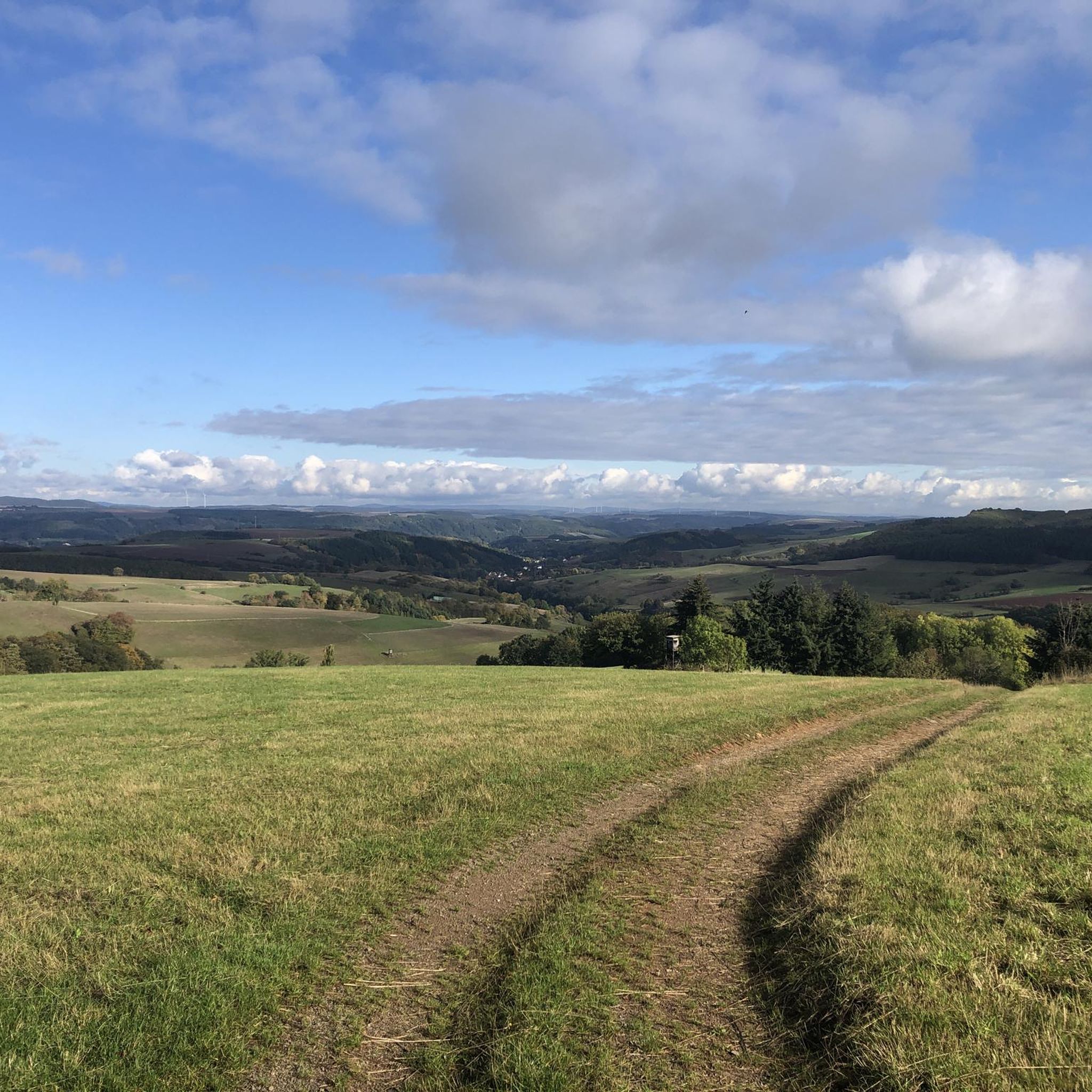
Extensive views over hills, fields, and forests around Eßweiler – typical of the Palatinate: gentle hills, clear air, and wide horizons. An ideal spot to pause and let your gaze wander. Tip: Especially beautiful on a clear day – the view often extends as far as the Sickinger Höhe. A perfect spot for a quiet photo or a short breather.
0
0
💧 Spring and Pond at the Blaue Halde (Blue Halde) Tucked away in the quiet forest area near the Blaue Halde (Blue Halde) lies this idyllic spot with a clear spring and a small pond. Surrounded by lush greenery and mature trees, the scenery seems almost enchanted – a place to pause and take a deep breath. 💡 Tip: Ideal as a quiet stopover for nature lovers who are off the beaten track. Especially beautiful in the early morning or late afternoon when the light filters through the treetops.
0
0
🏡 Dümmlerhütte near Wolfstein Located amidst the countryside above Wolfstein, the Dümmlerhütte offers a charming place to stop for a break with sweeping views of the Glan Valley. The hut is quietly located and surrounded by rolling hills and mixed forest – perfect for a rest stop during hikes around the castle ruins or the Königsberg. 💡 Tip: Those traveling with dogs or children will find a relaxing, family-friendly break here – with a rustic atmosphere and often surprisingly empty rest areas.
0
0
With a high-visibility jacket, CDs, and gas mask charm, this unusual fellow defends his territory. Quirky, flashy—and guaranteed to be a real eye-catcher along the roadside. 📸 Tip: Perfect for an original photo—but don't be alarmed if he suddenly "blink."
0
1
A place with its own radio presence – this yellow sign proudly displays the "SWR1 Gemeinde" designation. Not only a fun photo spot, but also a piece of regional media history. 📸 Tip: Ideal for a creative selfie – and then just tune in to SWR1. Maybe there's a feature directly from here?
0
1
Frequently Asked Questions
How many hiking trails are available in Oberweiler im Tal?
Oberweiler im Tal offers a wide variety of hiking experiences, with over 680 trails to choose from. These routes cater to different preferences, ranging from leisurely strolls to more challenging excursions through the diverse landscapes of the North Palatine Uplands.
What are the difficulty levels of hikes in Oberweiler im Tal?
The trails around Oberweiler im Tal cater to all skill levels. You'll find over 310 easy routes, more than 350 moderate trails, and around 20 more challenging hikes. This variety ensures there's a suitable path for everyone, from beginners to experienced hikers.
Are there family-friendly hiking options in Oberweiler im Tal?
Yes, the region offers several family-friendly hiking options. Many trails are easy to navigate and some even feature playgrounds along the way, allowing children to engage playfully with their surroundings. The circular trails around Wolfstein, for example, provide charming viewpoints and are suitable for families.
Can I bring my dog on hikes in Oberweiler im Tal?
Generally, dogs are welcome on the hiking trails in Oberweiler im Tal. The region's varied landscapes, including forests and open paths, provide a great environment for walks with your canine companion. Always ensure your dog is on a leash where required and respect local wildlife.
Are there any circular hiking routes in the area?
Yes, Oberweiler im Tal features several well-marked circular hiking trails. These routes allow you to start and end at the same point, offering convenient exploration of the local scenery. An example is the Hiking loop from Eßweiler, which is an easy option.
What kind of natural features can I expect to see on the trails?
Hikers can expect to encounter diverse natural features, including rolling hills, dense deciduous and coniferous forests, and picturesque river valleys like the Prüm River valley. Prominent elevations such as the Königsberg and Hermannsberg offer scenic backdrops, and you might also discover springs and ponds, such as the Blaue Halde Spring and Pond.
Are there historical sites or landmarks to visit along the trails?
Yes, the region is rich in historical sites that can be integrated into your hikes. You can explore the partial Ruins of Neu-Wolfstein Castle, including the Georgskapelle, or visit the Keep of Alt-Wolfstein Castle for magnificent panoramic views. The Historic Old Town of Wolfstein is also a compelling stop.
When is the best time of year to go hiking in Oberweiler im Tal?
The best times for hiking in Oberweiler im Tal are spring and autumn. During these seasons, temperatures are pleasantly mild, and the natural scenery is particularly vibrant with color, offering beautiful views of the blossoming landscapes or the rich autumnal foliage.
What do other hikers say about the trails in Oberweiler im Tal?
The hiking trails in Oberweiler im Tal are highly rated by the komoot community, with an average score of 4.6 stars from over 2,400 reviews. Hikers often praise the well-maintained paths, the diverse landscapes, and the peaceful atmosphere of the forests and river valleys.
Are there any hikes that feature springs or ponds?
Yes, some routes highlight the region's natural water features. For instance, the Blaue Halde Spring and Pond – Hinzweiler Pond loop from Oberweiler im Tal is a moderate path that specifically features springs and ponds, offering varied natural scenery.
Are there options for parking near the trailheads?
While specific parking details vary by trailhead, many popular starting points for hikes in Oberweiler im Tal and the surrounding villages offer designated parking areas. It's advisable to check the route details on komoot for specific parking information for your chosen trail.
How long do hikes typically take in this region?
Hikes in Oberweiler im Tal vary in length and duration. Shorter, easy routes like the Hiking loop from Eßweiler can take around 1.5 to 2 hours, while moderate trails such as the Fresh Water Stream – Schneeweiderhof loop typically take over 2 hours. Longer, more challenging routes can extend to 4 hours or more, like the Bench at Steinhagen – Hinzweilerhütte loop.
Are there any viewpoints offering panoramic views?
Yes, the region offers several spots with excellent panoramic views. The Keep of Alt-Wolfstein Castle is a notable vantage point, providing magnificent views of the surrounding hills and forests. Additionally, the varied topography with its rolling hills often presents broad vistas of the Eifel landscape.
Most popular routes around Oberweiler im Tal
Most popular attractions around Oberweiler im Tal

Get inspired with the komoot mobile app


Explore more
Browse the best Hikes in other regions.
