The best running trails around Niederstaufenbach
4.4
(273)
3,825
runners
248
runs
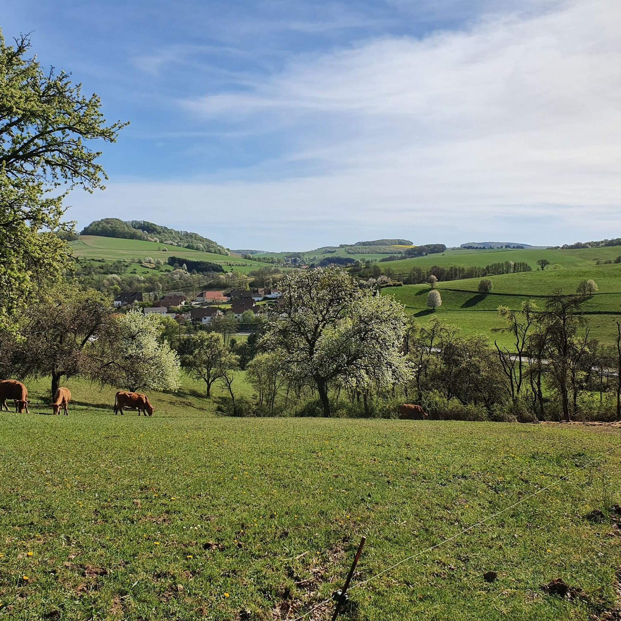
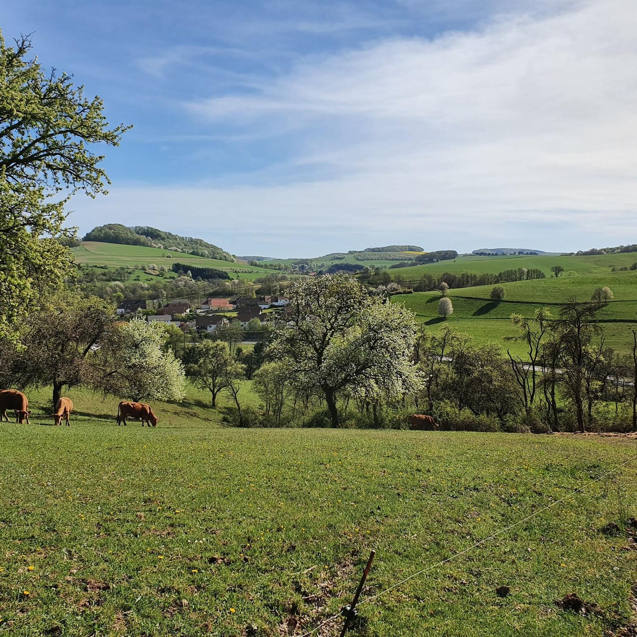
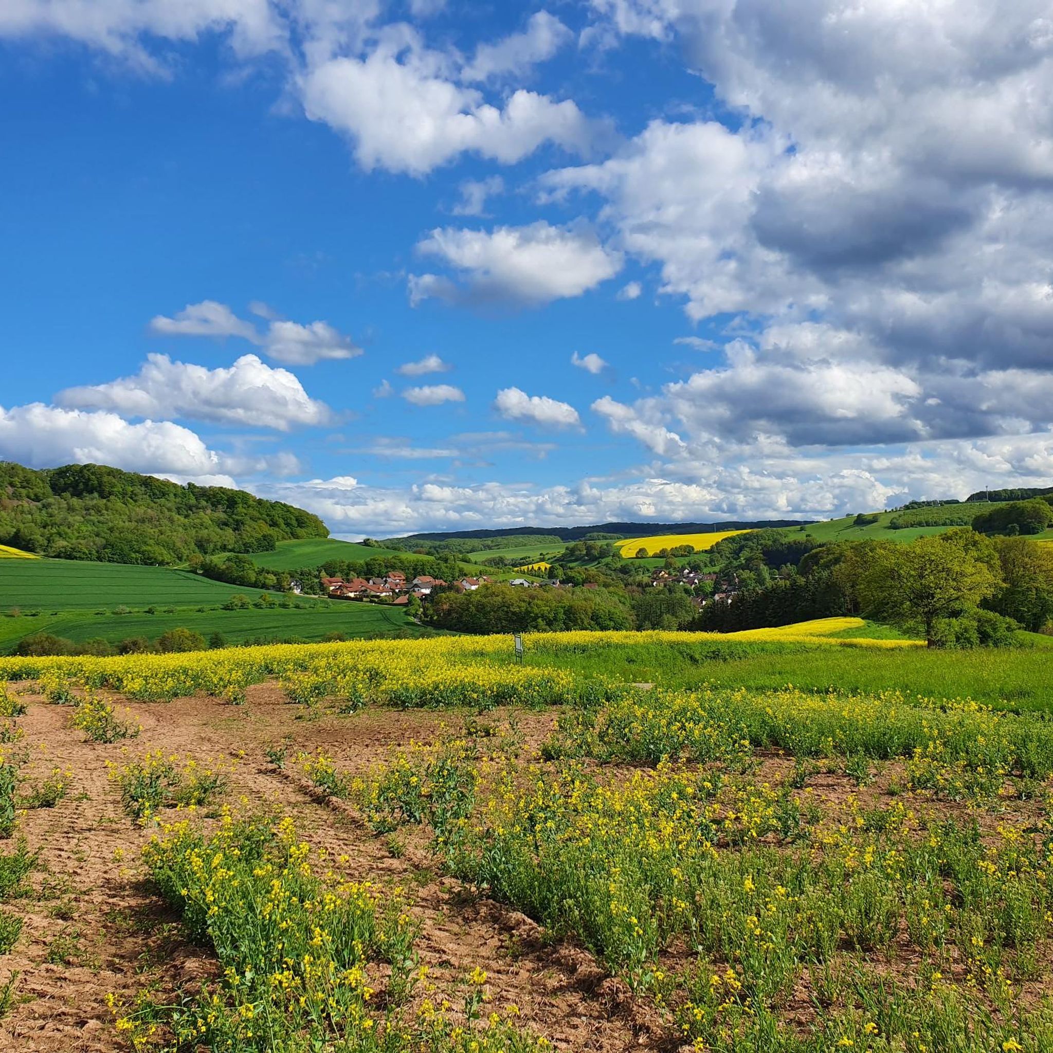
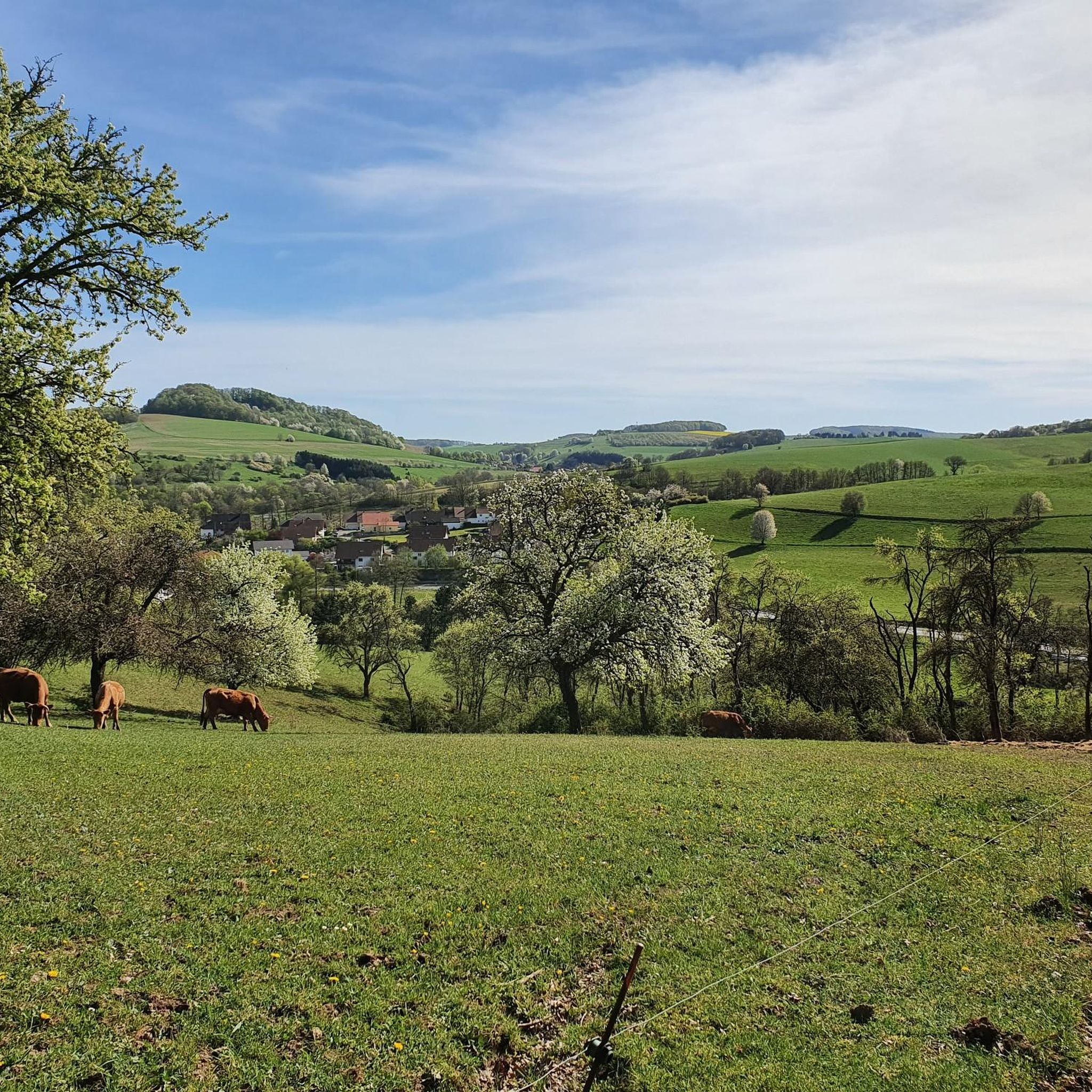
Jogging routes around Niederstaufenbach traverse a varied landscape in the Western Palatinate region of Germany. The area features gentle hills and dense forests, including those around Walbersberg and Krämel. Higher elevations like the Potzberg and Königsberg offer more challenging running with significant elevation changes. Many running paths follow the Reichenbach river and utilize broad forest paths suitable for various fitness levels.
Best jogging routes around Niederstaufenbach
- The most popular jogging route is Bachbahn Rail Trail loop from Reichenbach, a…
Last updated: July 5, 2026
5.0
(1)
34
runners
11.3km
01:11
80m
80m
Moderate run. Good fitness required. Mostly paved surfaces. Suitable for all skill levels.
24
runners
13.9km
01:28
110m
110m
Moderate run. Good fitness required. Mostly paved surfaces. Suitable for all skill levels.

Sign up for free
5.0
(2)
32
runners
Moderate run. Good fitness required. Mostly paved surfaces. Suitable for all skill levels.
16
runners
17.0km
01:46
110m
110m
Hard run. Very good fitness required. Mostly paved surfaces. Suitable for all skill levels.
4.0
(11)
10
runners
10.4km
01:09
200m
200m
Moderate run. Good fitness required. Mostly paved surfaces. Suitable for all skill levels.
Get access to more routes and recommendations from other explorers.
Sign up for free
Already have an account?
Our route recommendations are based on thousands of hikes, rides, and runs completed by other people on komoot.
Start today with a free account
Your next adventure awaits.
Login or Signup

Tips from the Community

Since I know what I'm talking about, I've reported it. Nonsense facts and 2 places thrown together... plus duplicate, the main thing is to have created something here....
0
0

next to it super bike path
0
0

This is the St. John the Baptist Church, which was consecrated in 1930.
0
0
Very nicely designed and informative
2
0

Beautiful cycle and footpath on the route of the former Bachbahn. The Bachbahn was a branch line that ran from Lampertsmühle-Otterbach station to Reichenbach. It owes its name to the connected towns, which all ended in the syllable "-bach".
0
0

Cycle path runs on a former railway line. Very good to drive. In Schwedelbach there is also a newly designed children's playground at the "monument". Great for families with children.
0
0
Good starting point for the cycle paths along the old Bachbahn in the direction of Otterbach or along the Reichenbach in the direction of Altenglan and the Upper and Lower Glantal. Musicians hiking trail, international hiking trail with history boards.
1
1

Great place to take a break with many memories of the former Bachbahn
2
2
Frequently Asked Questions
How many running routes are available around Niederstaufenbach?
There are over 250 running routes in the Niederstaufenbach area. These include a wide variety of options, with 43 easy routes, 184 moderate routes, and 32 more challenging trails for experienced runners.
What kind of terrain can I expect on jogging routes near Niederstaufenbach?
The terrain around Niederstaufenbach is quite varied, offering a mix of natural beauty. You'll find routes traversing gentle hills and dense forests, particularly around the Walbersberg and Krämel mountains. Higher elevations like the Potzberg and Königsberg provide opportunities for more challenging runs with significant elevation changes and panoramic views. Many paths also follow the Reichenbach river, utilizing broad forest paths suitable for various fitness levels.
Are there any family-friendly running routes in Niederstaufenbach?
Yes, Niederstaufenbach offers several family-friendly running options. Many of the 43 easy routes are suitable for families, often following broad forest paths or river valleys. These provide a gentle introduction to the region's natural beauty without overly challenging terrain.
Can I bring my dog on the running trails around Niederstaufenbach?
Generally, dogs are welcome on many of the running trails around Niederstaufenbach. The region's extensive network of forest paths and river trails provides ample space for you and your canine companion to enjoy. However, it's always advisable to keep dogs on a leash, especially in nature reserves or areas with wildlife, and to respect local regulations.
What are some scenic spots or landmarks I might encounter on a run?
Jogging routes around Niederstaufenbach offer several scenic spots and landmarks. You might pass by the tranquil Spring and Pond at the Blaue Halde, or explore historical sites like the Königsberg Summit or the Selberg Tower for impressive views. The area also features the Seewoog Beer Garden, a cozy spot for a break, and the Blaue Halde Spring and Pond.
Are there any circular running routes available?
Yes, many of the running routes in Niederstaufenbach are designed as loops, allowing you to start and finish at the same point. For example, the Running loop from Jettenbach is a popular moderate option that offers a circular experience through varied landscapes.
What do other runners say about the trails in Niederstaufenbach?
The running routes in Niederstaufenbach are highly rated by the komoot community, with an average score of 4.4 stars from over 210 reviews. Runners often praise the region's varied terrain, the well-maintained paths, and the beautiful natural scenery, highlighting the mix of challenging climbs and gentle river-side runs.
Are there routes with significant elevation gain for a more challenging run?
Absolutely. For those seeking a more challenging run with significant elevation gain, routes leading to higher elevations like the Potzberg and Königsberg are ideal. The Potzberg Tower – View from Potzberg loop from Föckelberg is a great example, offering substantial climbs and rewarding views.
Is there parking available near the running routes?
Yes, many running routes around Niederstaufenbach have accessible parking options, especially at common starting points or trailheads. While specific parking details vary by route, the region is generally well-equipped for visitors arriving by car, with designated parking areas often found near villages or popular natural attractions.
Can I access the running trails using public transport?
Public transport access to the running trails in Niederstaufenbach is possible, though it may require some planning. Local bus services connect various villages in the Western Palatinate region. It's recommended to check local bus schedules and routes to find the most convenient access points to your desired running trail.
Are there any places to stop for refreshments along the routes?
Yes, you can find places for refreshments. The Seewoog Beer Garden, for instance, is described as a cozy rest area with a small restaurant, perfect for a break during or after your run. Some villages along the routes may also offer cafes or pubs.
What is the best season for running in Niederstaufenbach?
Niederstaufenbach offers excellent running conditions throughout much of the year. Spring and autumn provide pleasant temperatures and beautiful scenery with blooming flowers or vibrant fall foliage. Summer is also great, especially for shaded forest paths. Winter running is possible, but some higher elevation or less maintained paths might be affected by snow or ice, so checking local conditions is advised.
Most popular routes around Niederstaufenbach
Most popular attractions around Niederstaufenbach

Get inspired with the komoot mobile app


Explore more
Browse the best Running Trails & Routes in other regions.
