The best walks and hikes around Niederstaufenbach
4.6
(3324)
12,183
hikers
836
hikes
Hiking around Niederstaufenbach offers diverse landscapes in the Western Palatinate region of Germany. The village is situated in a broad hollow, flanked by the Walbersberg and Krämel mountains, with the Reichenbach river flowing through it. This area features dense forests, rolling hills like the Potzberg and Selberg, and the Königsberg Summit, providing varied terrain for outdoor activities.
Best hiking trails around Niederstaufenbach
- The most popular hiking route is Wolfskirche Bosenbach loop from Bosenbach, a 4.2 miles (6.7 km) trail…
Last updated: September 30, 2026
4.2
(5)
12
hikers
6.69km
01:58
190m
190m
Easy hike. Great for any fitness level. Easily-accessible paths. Suitable for all skill levels.
5.0
(1)
10
hikers
3.83km
01:04
80m
80m
Easy hike. Great for any fitness level. Easily-accessible paths. Suitable for all skill levels.

5.0
(13)
6
hikers
10.2km
02:56
240m
250m
Moderate hike. Good fitness required. Easily-accessible paths. Suitable for all skill levels.
5
hikers
3.56km
00:58
50m
50m
Easy hike. Great for any fitness level. Easily-accessible paths. Suitable for all skill levels.
5.0
(8)
7
hikers
9.19km
02:41
250m
250m
Moderate hike. Good fitness required. Easily-accessible paths. Suitable for all skill levels.
Get access to more routes and recommendations from other explorers.
Already have an account?
Our route recommendations are based on thousands of hikes, rides, and runs completed by other people on komoot.
Start today with a free account
Your next adventure awaits.

Tips from the Community

Many thanks to Klaus-Jürgen for answering my question about the significance of the structure. I found further information here: http://www.essweiler.de/cont3/geschichte/lebensverhaeltnisse-bildung-wirtschaft-und-religion/bergbau/steinbruch-schneeweiderhof
0
0

Basalt was quarried at Scheeweiderhof until the 1960s and 70s. A narrow-gauge railway transported the stones from the mountain station to the valley station at Altenglan train station. The railway was unpowered. The loaded, heavy wagons moved downhill, their weight pulling the empty wagons back up the mountain. This is the only remaining, well-preserved pillar. Further remnants of foundations can be found at regular intervals throughout the forest.
1
0
In the middle of the forest I found a structure made of concrete and steel. To me it looked like a former cable car. But what was this built for? Maybe someone knows the answer. Along this path I also saw two places, each with two large foundations. There might be a connection there.
3
0

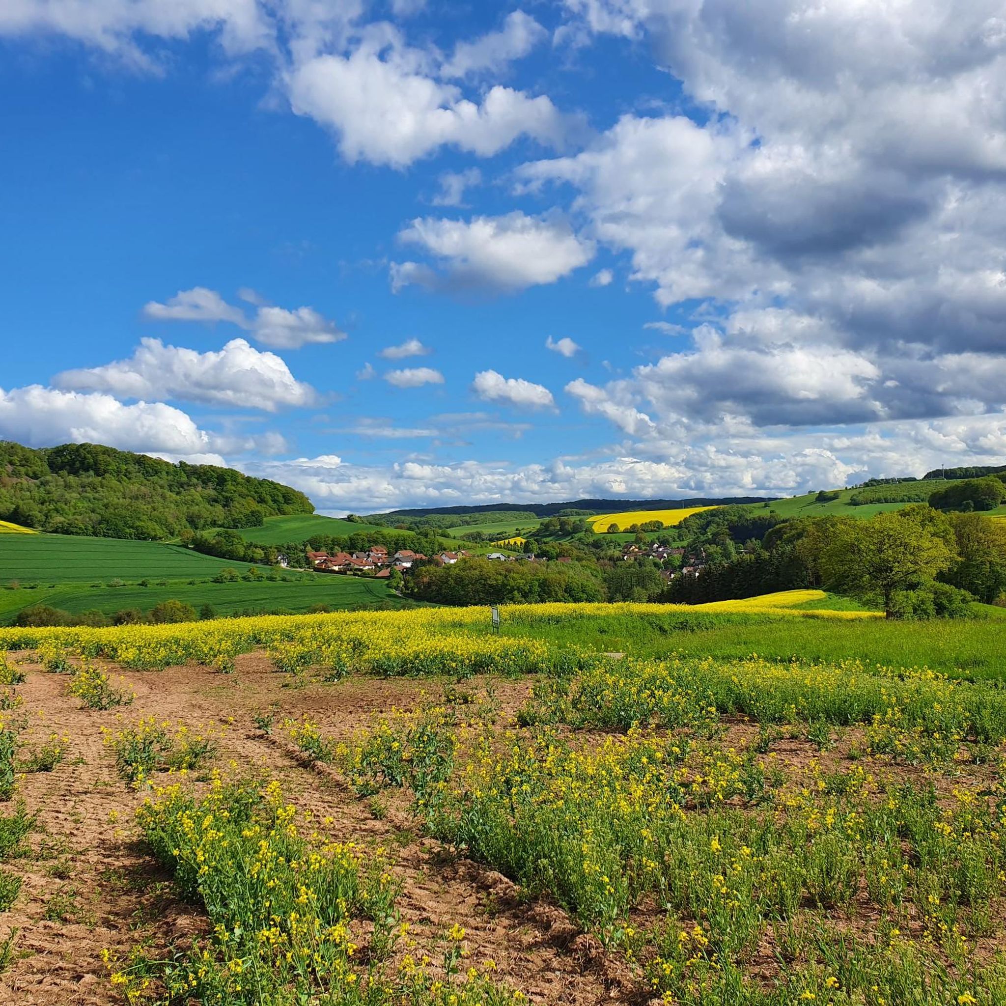
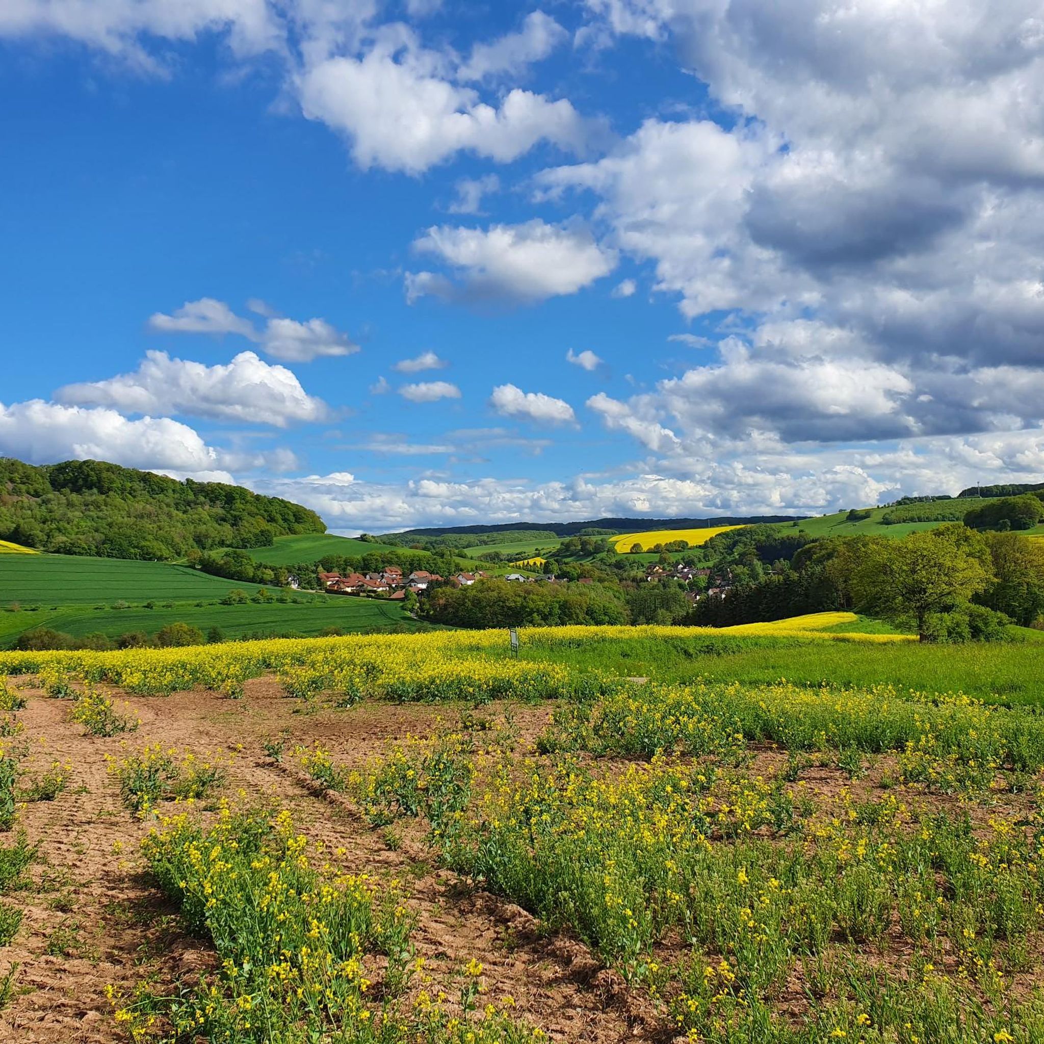
especially beautiful with sunny weather
1
1

In the middle of the cemetery of Bosenbach stands the tower of the Wolfskirche, a submerged village with extraordinary Romanesque wall and vault paintings from the first half of the 14th century. They show the great judgment of the last time, the Lord's Supper and the entry of Christ into Jerusalem. This palm donkey Christ represents an iconographic peculiarity. Examples with such representations can be found in the art of the 6th century, for example in Ravenna. This is almost unique in Europe - at least that's what the experts from the protection of monuments say about the Wolf Church in Bosenbach.
2
0

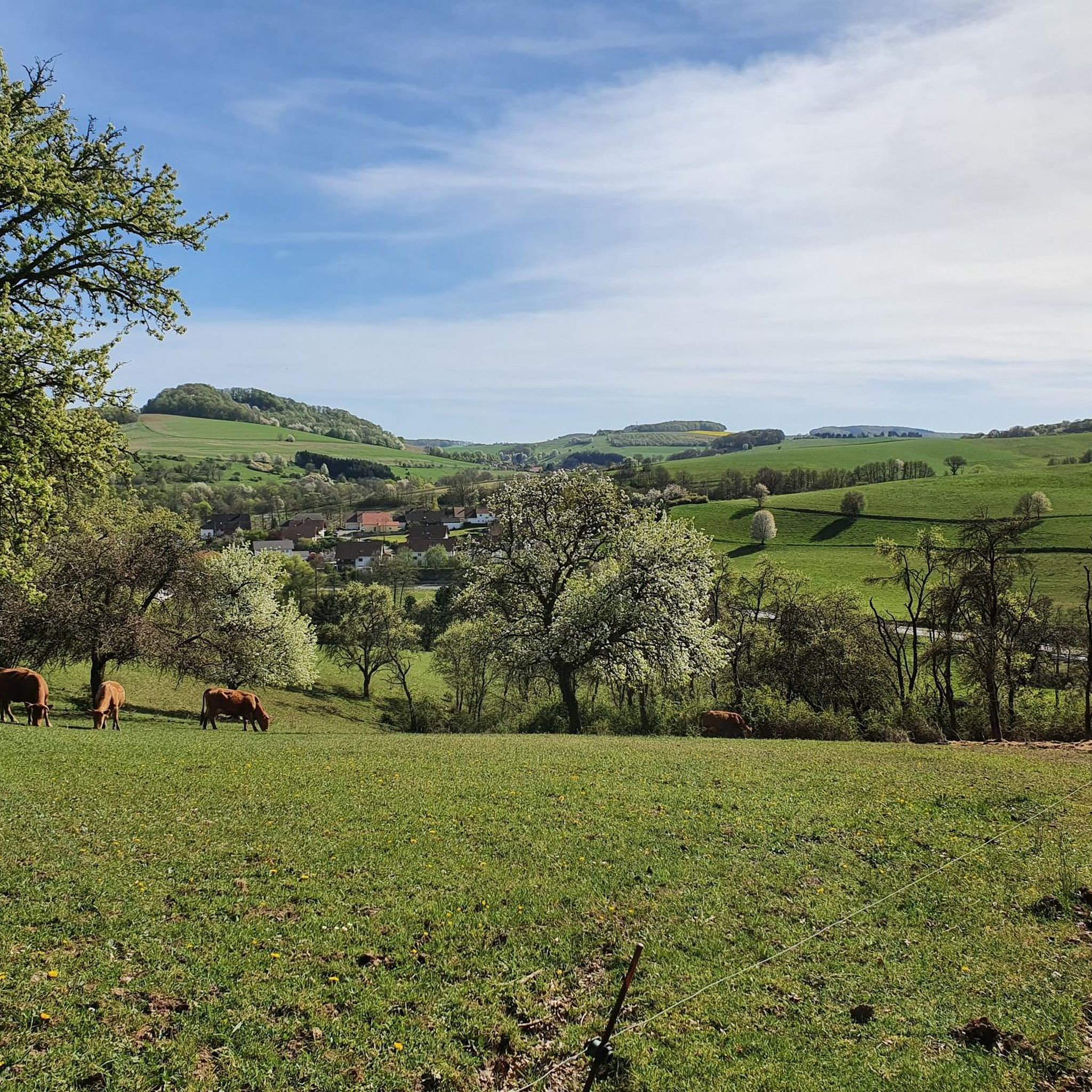
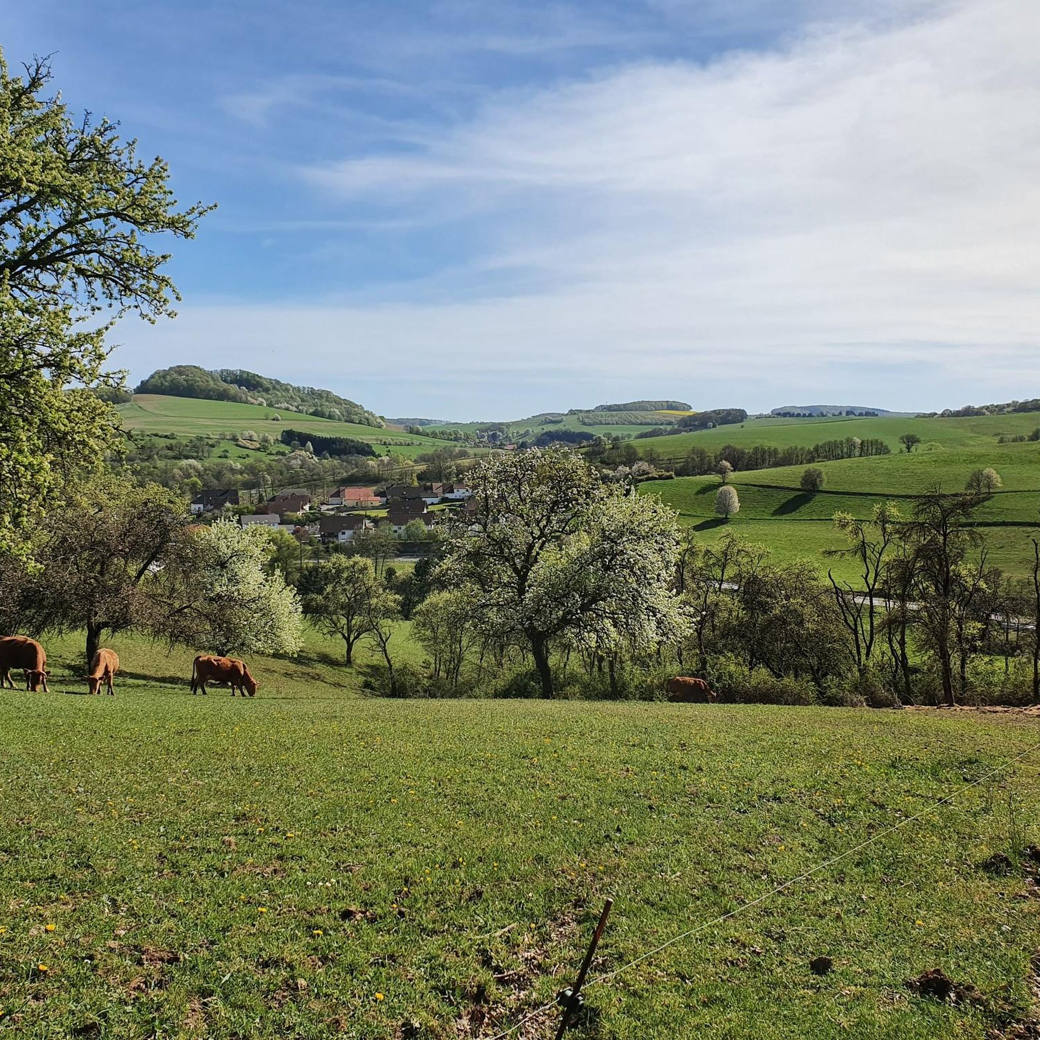
Magnificent views of the Palatinate
1
0
Frequently Asked Questions
How many hiking trails are available around Niederstaufenbach?
There are over 840 hiking routes available around Niederstaufenbach, offering a wide variety of options for different skill levels and preferences. This includes easy strolls, moderate treks, and some more challenging paths through the diverse landscape.
What kind of terrain can I expect when hiking in Niederstaufenbach?
The terrain around Niederstaufenbach is characterized by dense forests, rolling hills such as the Walbersberg and Krämel, and picturesque river valleys like the Reichenbach. You'll find varied landscapes, from gentle ascents to more elevated areas like the Königsberg Summit, providing a mix of natural beauty and diverse walking surfaces.
Are there any easy, family-friendly hiking routes in Niederstaufenbach?
Yes, Niederstaufenbach offers many easy and family-friendly options. For instance, the View of Potzberg loop from Oberstaufenbach is an easy 2.4 miles (3.8 km) path that can be completed in about 1 hour, offering pleasant views. The region also features trails like the 'Zauberwaldweg' (Magic Forest Trail), designed for children to explore playfully.
Are there any circular hiking routes available in Niederstaufenbach?
Many of the hiking routes in Niederstaufenbach are circular, allowing you to start and end at the same point. An example is the Wolfskirche Bosenbach loop from Bosenbach, a 4.2 miles (6.7 km) trail that takes about 2 hours, passing by the historic Wolfskirche.
What historical landmarks or natural features can I see along the hiking trails?
Hiking trails around Niederstaufenbach often lead to fascinating historical sites and natural features. You can explore the Königsberg Summit for rewarding views, or visit the historic Wolfskirche. The region also features the Erzenhausen Dripstone Cave (closed October-April) and the scenic Reichenbach river.
Are there any viewpoints offering panoramic views in the area?
Yes, the region boasts several excellent viewpoints. The Selberg Tower offers expansive views of the Reichenbach valley, and the Reuschbacher Heights Viewpoint provides another great spot to take in the surrounding landscape.
What do other hikers enjoy most about hiking in Niederstaufenbach?
The hiking routes in Niederstaufenbach are highly rated by the komoot community, with an average score of 4.6 stars from over 2,900 reviews. Hikers often praise the diverse landscapes, the tranquility of the dense forests, and the well-maintained trails that cater to various difficulty levels.
Are there any challenging hikes for experienced trekkers?
While many routes are easy to moderate, there are 21 more challenging hikes for experienced trekkers. These routes often involve greater elevation changes and longer distances, providing a more strenuous experience through the region's hills and forests.
Can I find places to rest or eat along the trails?
Yes, the region offers options for resting and refreshments. The Seewoog Beer Garden is a known cozy resting area. Additionally, the historic Old Town of Wolfstein, with its charming half-timbered houses, can be a pleasant detour for a break during your hike.
Are there any specific considerations for hiking in winter?
While the region's forests and hills offer beauty year-round, winter hiking requires preparation. The Erzenhausen Dripstone Cave, for example, is closed from October to April for bat hibernation. Always check local conditions and trail accessibility, and dress appropriately for colder weather and potentially icy paths.
What are some unique natural features to explore in Niederstaufenbach?
Beyond the forests and hills, you can discover unique natural features like the idyllic spring and pond at the Blaue Halde. The Reichenbach river flows through the village, and the nearby Glan river features the scenic Erdesbach Weir, adding to the natural beauty of the area.
Are there any routes that offer views of the Potzberg?
Yes, several routes provide views of the Potzberg. The Bench With View of Potzberg – View of Bosenbach loop from Bosenbach is a 6.3 miles (10.2 km) trail that specifically highlights views of the Potzberg, taking about 3 hours to complete.
Most popular routes around Niederstaufenbach
Most popular attractions around Niederstaufenbach

Get inspired with the komoot mobile app


Explore more
Browse the best Hikes in other regions.
