The best road cycling routes around Poggio-D'Oletta
4.5
(341)
9,089
riders
86
rides
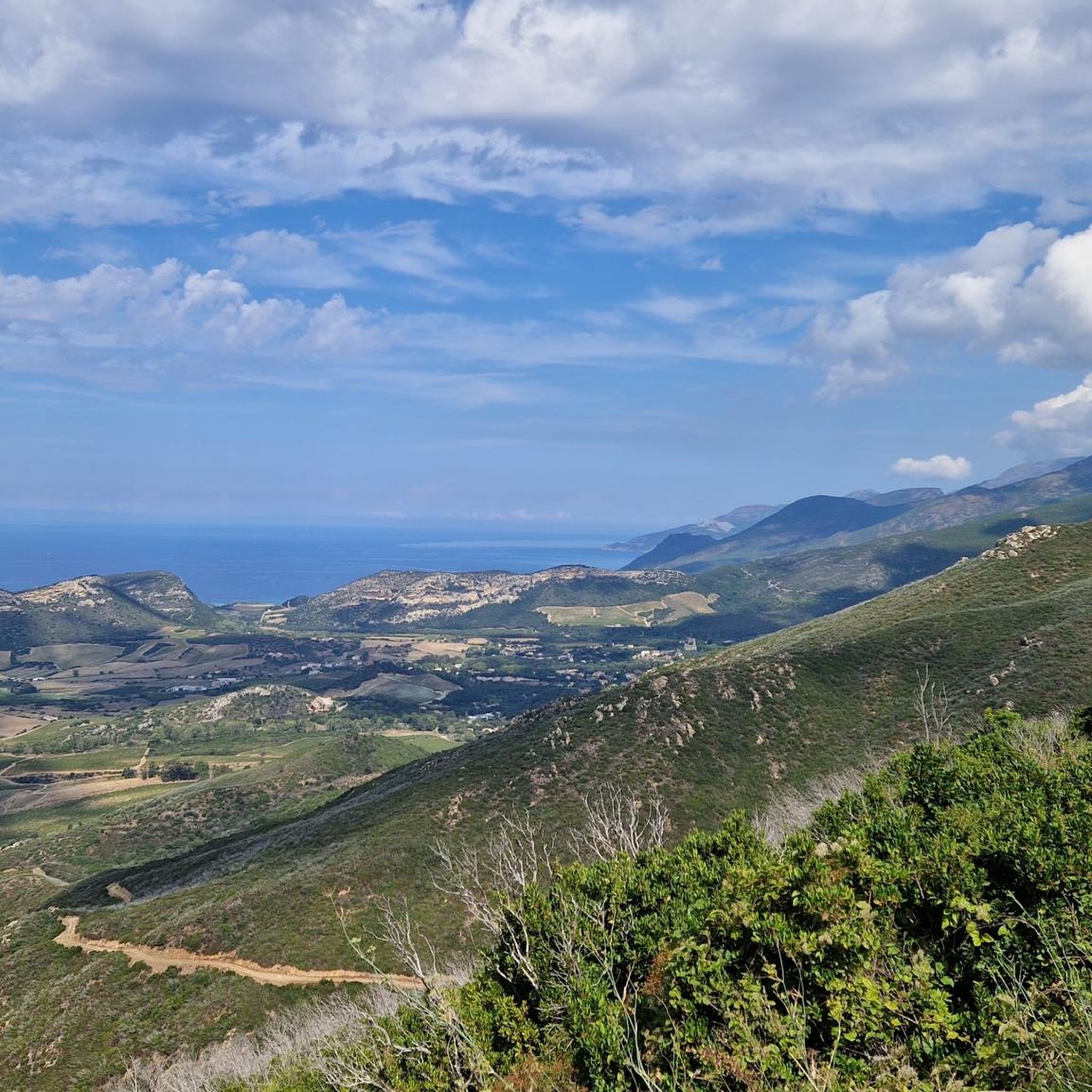
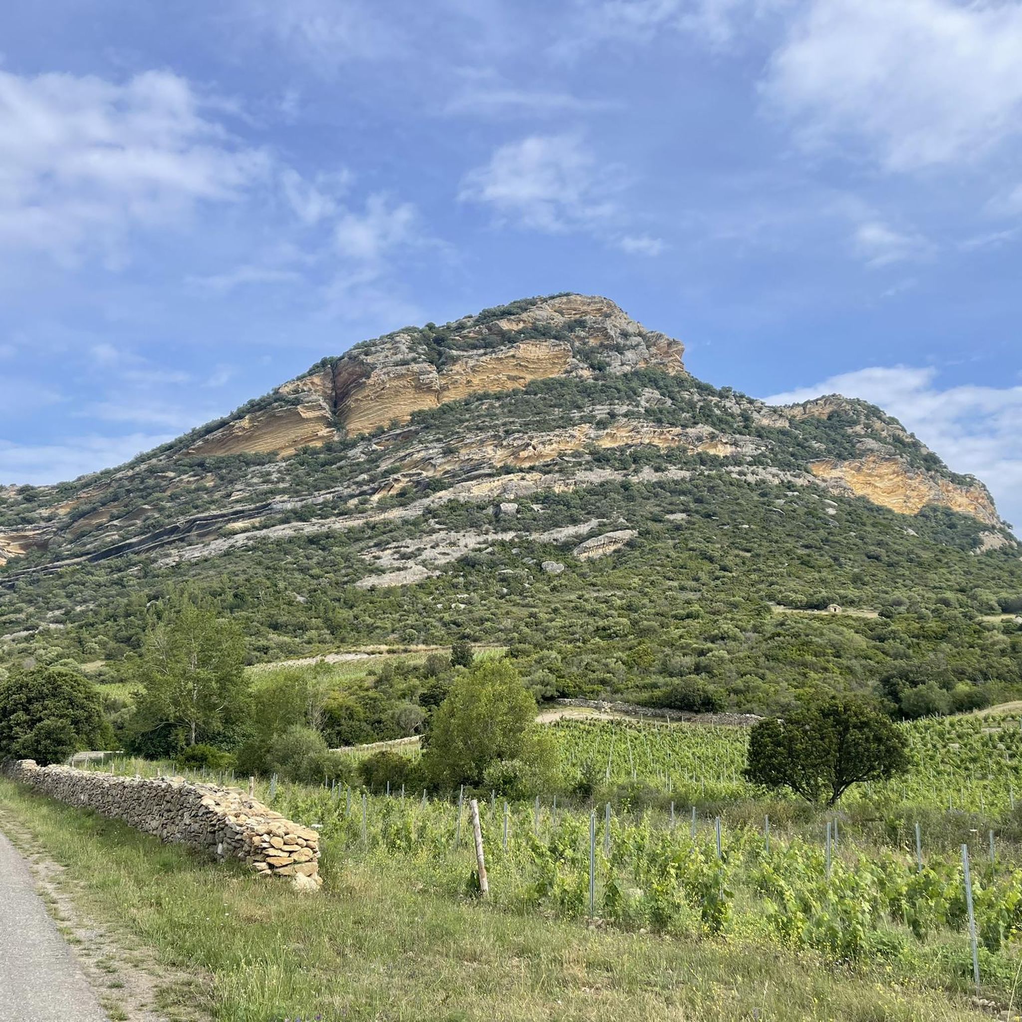
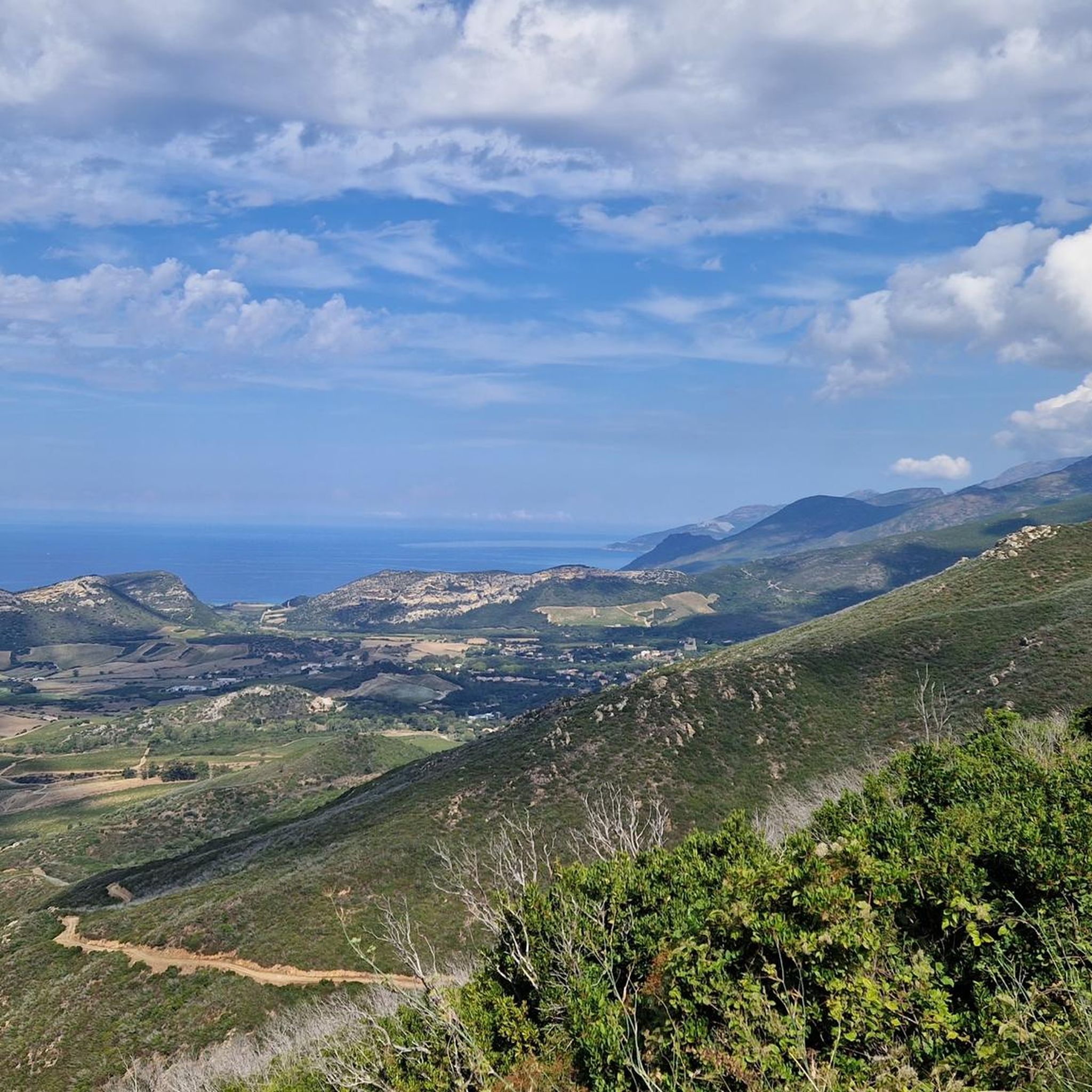
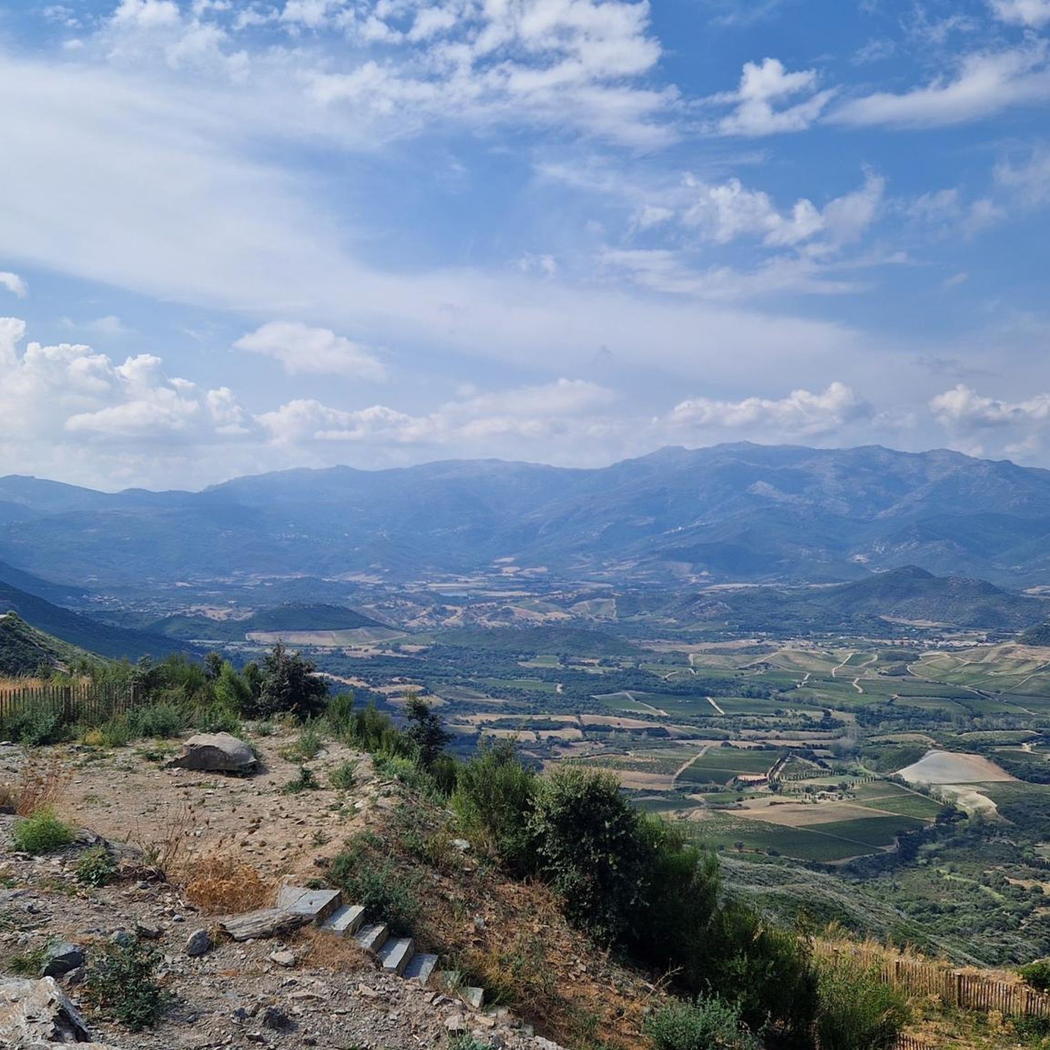
Road cycling around Poggio-D'Oletta features routes characterized by significant elevation changes and coastal proximity. The terrain includes ascents over hills and passes, offering varied road bike trail elevation Poggio-D'Oletta. This region provides a range of challenging road bike routes Poggio-D'Oletta, with many paths winding through the Corsican landscape. The area's geography supports both moderate and difficult road cycling experiences.
Best road cycling routes around Poggio-D'Oletta
- The most popular road cycling route is Serra di Pigno — Saint-Florent loop, a…
Last updated: July 5, 2026
4.8
(10)
136
riders
39.6km
02:26
1,050m
1,050m
This difficult 24.6-mile (39.6 km) road cycling loop around Serra di Pigno offers challenging climbs and panoramic views of Corsica's coast.
4.8
(4)
27
riders
32.6km
01:42
580m
580m
This moderate 20.3-mile (32.6 km) road cycling route between Vaillecaille and Pièvre offers scenic views and a good workout.

Sign up for free
4.8
(10)
233
riders
47.5km
02:27
820m
820m
Moderate road ride. Good fitness required. Mostly well-paved surfaces and easy to ride.
4.5
(15)
303
riders
57.0km
03:06
1,140m
1,140m
Hard road ride. Very good fitness required. Some segments of this route may be unpaved and difficult to ride.
5.0
(2)
102
riders
116km
05:49
1,970m
1,970m
Hard road ride. Very good fitness required. Mostly well-paved surfaces and easy to ride.
Get access to more routes and recommendations from other explorers.
Sign up for free
Already have an account?
Our route recommendations are based on thousands of hikes, rides, and runs completed by other people on komoot.
Start today with a free account
Your next adventure awaits.
Login or Signup

Tips from the Community

mega super beautiful here. is worth a visit.
0
0
mega super beautiful here. is worth a visit.
2
0

Beautiful village
9
0


This little cafe in Nonza offers a breathtaking view of the surroundings. You can also have lunch here: https://www.cafe-de-la-tour.com/.
0
0
Frequently Asked Questions
How many road cycling routes are available around Poggio-D'Oletta?
There are over 80 road cycling routes around Poggio-D'Oletta, catering to various skill levels. This includes 12 easy routes, 33 moderate routes, and 38 difficult routes.
What kind of terrain can I expect on road cycling routes near Poggio-D'Oletta?
Road cycling around Poggio-D'Oletta is characterized by significant elevation changes and coastal proximity. You can expect ascents over hills and passes, with many paths winding through the Corsican landscape. The region offers a mix of hilly terrain, coastal roads, and mountain passes.
Are there any moderate-difficulty road cycling routes that offer a good challenge without being extreme?
Yes, a popular moderate route is the Nebbio Villages Loop. This 20.3-mile (32.6 km) path includes climbs through local villages and features over 1,900 feet (580 meters) of ascent, making it a great option for intermediate cyclists.
What is the best time of year for road cycling in Poggio-D'Oletta?
Given the coastal and hilly terrain, the shoulder seasons (spring and autumn) are generally ideal for road cycling in Poggio-D'Oletta. Temperatures are milder, and the scenery is vibrant, making for more comfortable rides than the peak summer heat.
Are there any long-distance or challenging road cycling routes for experienced riders?
For experienced riders seeking a challenge, the Col de Bigorno – San Michele de Murato Church loop from Saint-Florent is a demanding option. This route spans 71.8 miles (115.5 km) and features nearly 6,450 feet (1,966 meters) of elevation gain. Another difficult route is the Serra di Pigno — Saint-Florent loop, which is 24.6 miles (39.6 km) with over 3,400 feet (1,000 meters) of elevation gain.
Can I find circular road cycling routes around Poggio-D'Oletta?
Yes, many of the routes in the area are designed as loops. For example, the Tour d'Albo – Marine de Giottani loop from Saint-Florent offers a substantial 56.1-mile (90.2 km) circular ride through coastal areas and inland passes.
What are some scenic viewpoints or attractions I can see along the road cycling routes?
Many routes offer stunning views. You might encounter attractions such as the Saint-Florent Frog Fountain, the historic Citadel of Saint-Florent, or the beautiful Lotu Beach. The region's coastal roads often provide panoramic sea views.
What do other road cyclists say about the routes in Poggio-D'Oletta?
The road cycling routes in Poggio-D'Oletta are highly rated by the komoot community, with an average score of 4.5 stars from over 270 reviews. Cyclists often praise the varied terrain, the challenging climbs, and the beautiful Corsican landscapes.
Are there any routes that feature a significant descent?
Yes, the Fantastic descent – Teghime Pass loop from Saint-Florent is specifically known for its notable downhill sections. This 28.6-mile (46 km) route includes a descent from Teghime Pass, offering an exhilarating experience after the climb.
Are there any specific landmarks or historical sites accessible by road bike?
Yes, several routes pass by or near interesting landmarks. For instance, the Col de Bigorno – San Michele de Murato Church loop from Saint-Florent takes you past the historic San Michele de Murato Church. You can also explore charming villages with their own unique heritage along routes like the Nebbio Villages Loop.
What kind of elevation gain can I expect on road cycling routes in this area?
The routes around Poggio-D'Oletta are known for significant elevation changes. Even moderate routes can feature over 1,900 feet (580 meters) of ascent, while difficult routes can involve climbs exceeding 6,400 feet (1,950 meters), such as on the Col de Bigorno – San Michele de Murato Church loop.
Most popular routes around Poggio-D'Oletta
Most popular attractions around Poggio-D'Oletta

Get inspired with the komoot mobile app


Explore more
Browse the best Road cycling routes in other regions.
