The best running trails around Reipeldingen
4.5
(52)
897
runners
89
runs
Jogging around Reipeldingen offers diverse terrain within Germany's Südeifel Nature Park, characterized by a mix of agricultural land and significant forested areas. The tranquil Our Valley provides serene, relatively flat routes alongside the river, while the region's overall elevation of 490 meters above sea level allows for routes with gentle ascents and descents. This varied landscape caters to different fitness levels, from open fields with scenic views to shaded forest paths.
Best jogging routes around Reipeldingen
- The most popular jogging…
Last updated: September 29, 2026
5.0
(1)
6
runners
4.21km
00:27
60m
60m
Easy run. Great for any fitness level. Mostly paved surfaces. Suitable for all skill levels.
5.0
(2)
6
runners
14.7km
01:39
290m
290m
Moderate run. Good fitness required. Mostly paved surfaces. Suitable for all skill levels.

5.0
(1)
8
runners
7.69km
00:48
50m
50m
Moderate run. Good fitness required. Mostly paved surfaces. Suitable for all skill levels.
4.3
(3)
6
runners
7.34km
00:48
110m
110m
Moderate run. Good fitness required. Mostly paved surfaces. Suitable for all skill levels.
4
runners
9.65km
01:03
170m
170m
Moderate run. Good fitness required. Mostly paved surfaces. Suitable for all skill levels.
Get access to more routes and recommendations from other explorers.
Already have an account?
Our route recommendations are based on thousands of hikes, rides, and runs completed by other people on komoot.
Start today with a free account
Your next adventure awaits.

Tips from the Community


Unfortunately we had to go back because our dogs - 11 and 13 years - did not come up the steep slope next to the ladder that goes up to the path at the former bridge. Here the path sponsor gave us a corresponding return recommendation. Thank you for that.
0
0

As mentioned before, the bridge no longer exists. Instead, there are large stone blocks and an eleven-level aluminum ladder leads up to the path.
0
0

This bridge has not existed since the flood in 2018 ...
0
0

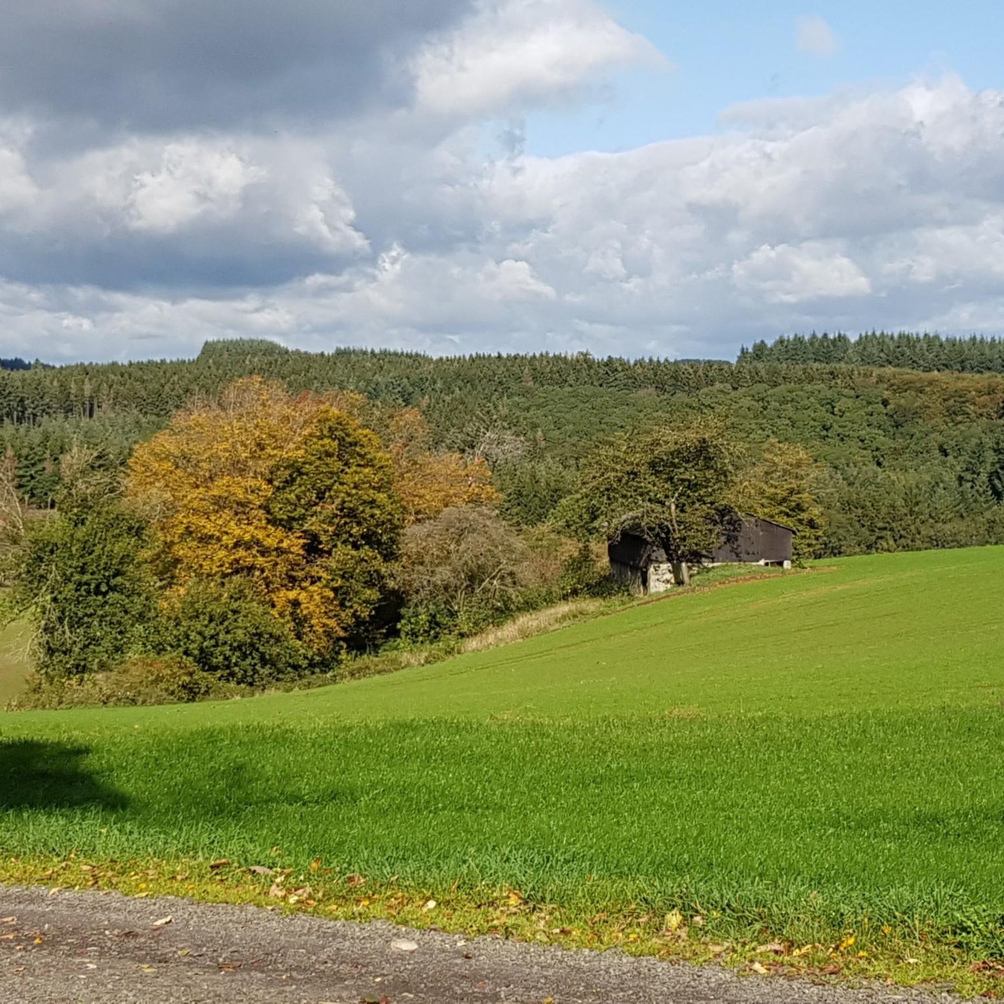
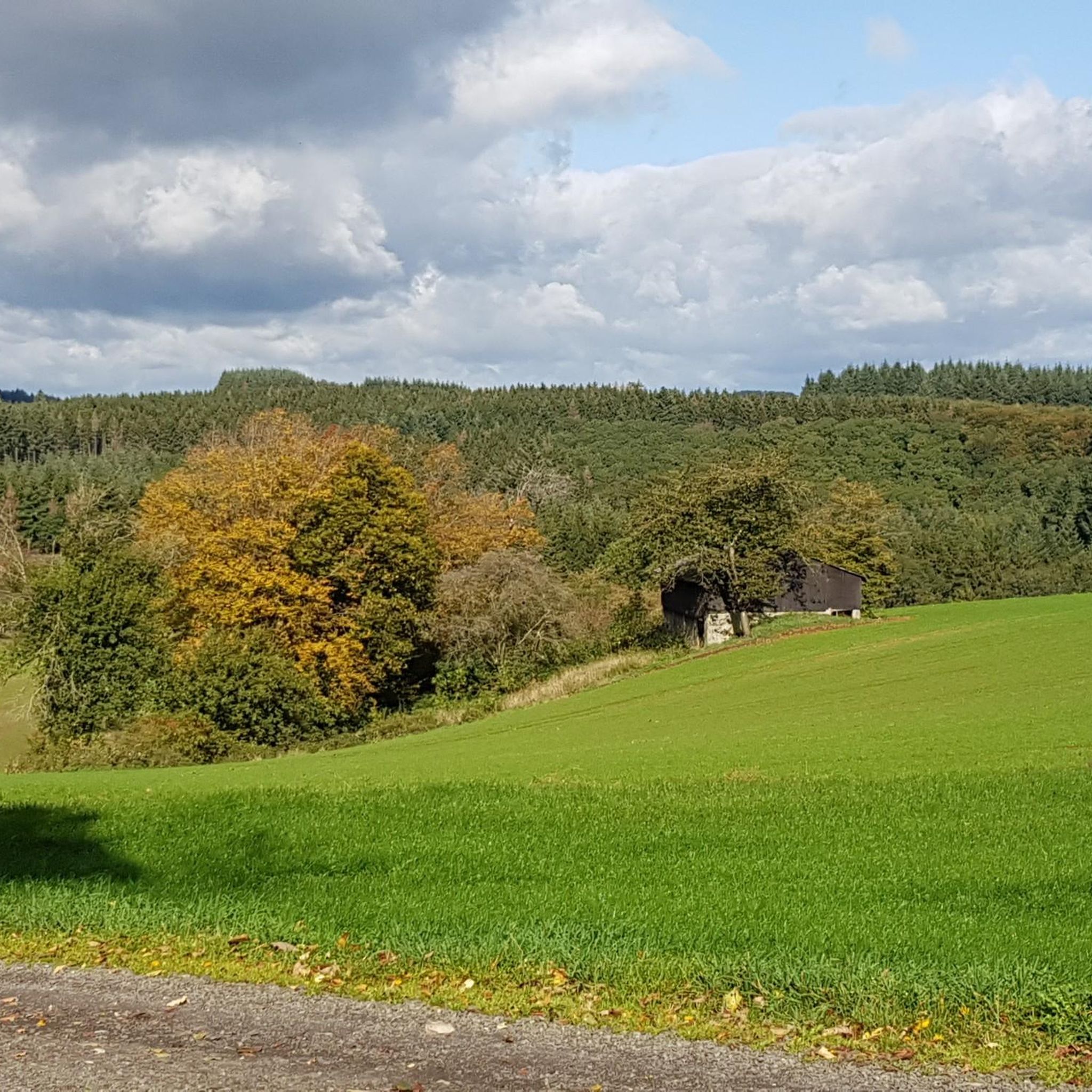
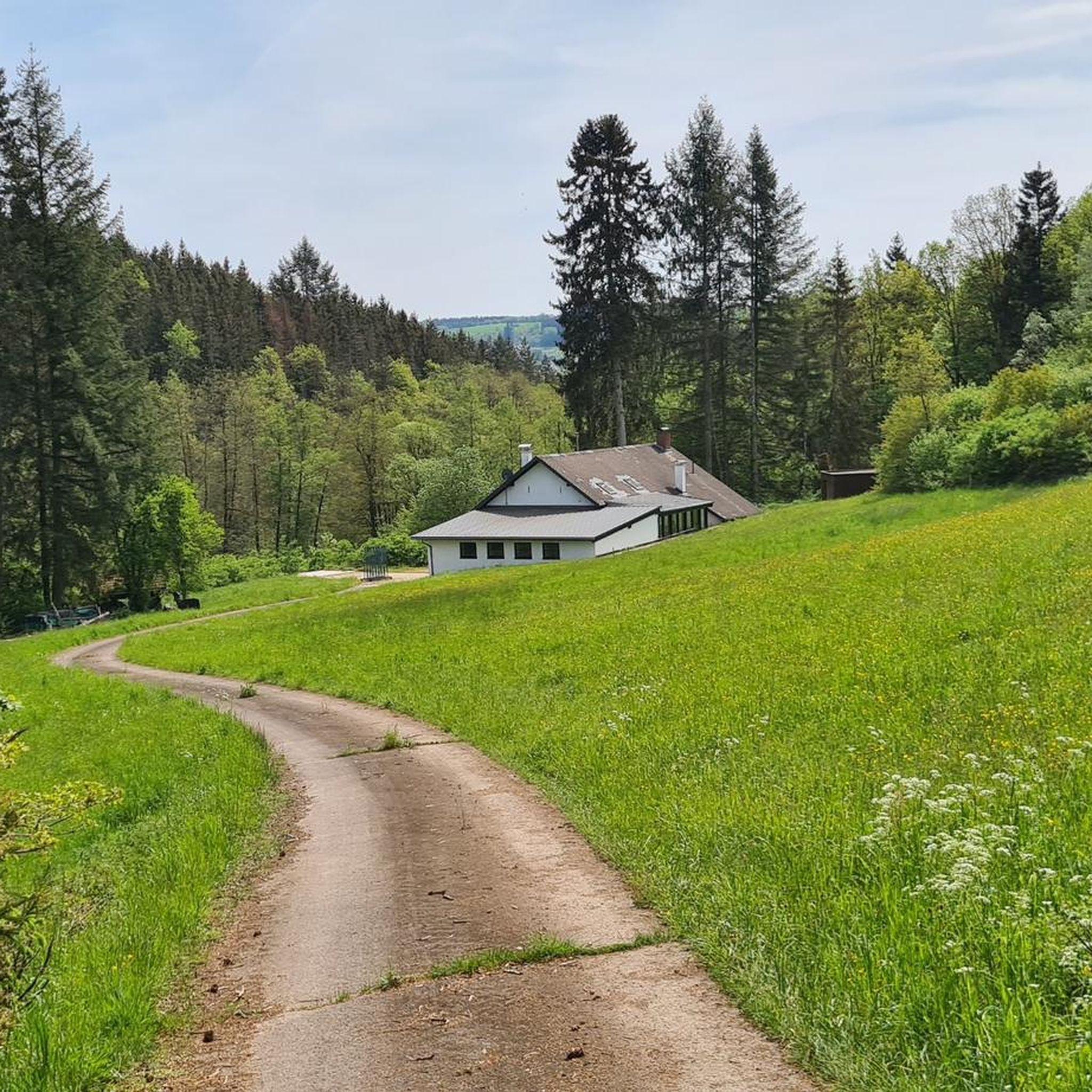
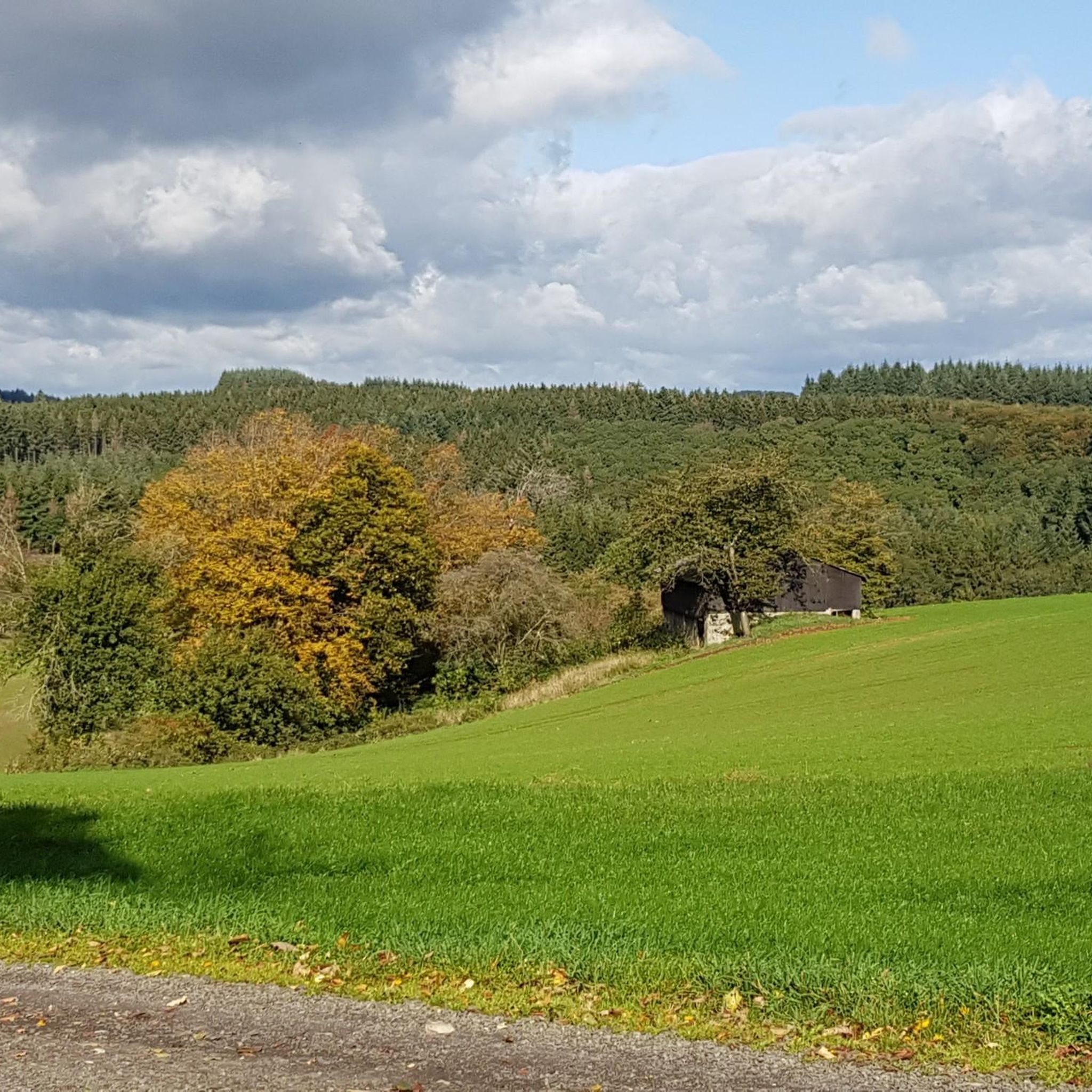
The Irsen flows over lush meadow meadows, on both banks limited by densely wooded mountain slopes. On comfortable trails you can explore the valley while you hear nothing except bird chirping and stream splashing.
1
0
The area around the Irsental is particularly quiet and secluded. Here you can completely switch off from everyday life and enjoy the idyllic nature.
2
0
A narrow pedestrian bridge leads over the Irsen at this point.
0
0
Frequently Asked Questions
How many running routes are available around Reipeldingen?
There are over 50 running routes around Reipeldingen, offering a wide variety of options for different fitness levels and preferences. The komoot community has explored 59 routes in total.
What kind of terrain can I expect when running in Reipeldingen?
The region offers diverse terrain within the Südeifel Nature Park. You'll find a mix of agricultural land and significant forested areas, providing both open fields with scenic views and shaded forest paths. The tranquil Our Valley offers relatively flat routes alongside the river, while Reipeldingen's elevation of 490 meters above sea level means some routes will include gentle ascents and descents.
Are there running routes suitable for beginners or those looking for an easy jog?
Yes, Reipeldingen offers several easy running routes. For example, the Running loop from Sevenig (Our) is an easy 4.2 km path, perfect for a relaxed run.
What do other runners say about the trails in Reipeldingen?
The running routes in Reipeldingen are highly rated by the komoot community, with an average score of 4.8 stars from over 20 reviews. Runners often praise the varied terrain, scenic beauty, and the peaceful atmosphere of the Südeifel Nature Park.
Can I find circular running routes in the Reipeldingen area?
Yes, many of the running routes around Reipeldingen are circular, allowing you to start and finish at the same point. A popular option is the Running loop from Arzfeld, which is 6.5 km long and offers a moderate challenge.
Are the running trails in Reipeldingen suitable for families?
The diverse terrain includes easier, flatter sections, particularly along the Our Valley, which can be suitable for families. While specific 'family-friendly' designations aren't always present, routes with less elevation gain and shorter distances, like the Running loop from Sevenig (Our), are generally good choices for a family outing.
Can I bring my dog on the running trails around Reipeldingen?
Many trails in the Südeifel Nature Park are dog-friendly, especially those winding through forests and open fields. It's always advisable to keep your dog on a leash, especially in agricultural areas or near wildlife, and to respect local regulations.
What scenic views or landmarks can I expect to see while running?
You can enjoy picturesque views of the Our Valley and the diverse landscapes of the Südeifel Nature Park. A notable landmark is the European Monument at the Three-Country Point, where Germany, Belgium, and Luxembourg meet. Some routes also pass by beautiful lakes such as Lake Weiswampach or the Arzfeld Reservoir.
Are there any long-distance running options for experienced athletes?
Yes, for experienced runners seeking a challenge, there are more difficult and longer routes. The Black Hole Cave – Our Valley loop from Dasburg is a challenging 30.6 km route with significant elevation changes, perfect for a longer endurance run.
What are the best times of year to go running in Reipeldingen?
The Südeifel Nature Park is beautiful year-round. Spring and autumn offer pleasant temperatures and vibrant scenery with blooming flowers or colorful foliage. Summer provides warm weather, ideal for early morning or late evening runs, while winter can offer serene, snow-covered landscapes, though some paths might be less accessible.
Are there options for parking near the running routes?
While specific parking information for every route isn't detailed, many trailheads in the region, especially those starting from villages like Arzfeld or Sevenig (Our), typically offer parking facilities. It's common for routes in the Südeifel Nature Park to have accessible starting points for drivers.
Most popular routes around Reipeldingen
Most popular attractions around Reipeldingen

Get inspired with the komoot mobile app


Explore more
Browse the best Running Trails & Routes in other regions.
