The best gravel rides around Reipeldingen
4.5
(7)
53
riders
24
rides
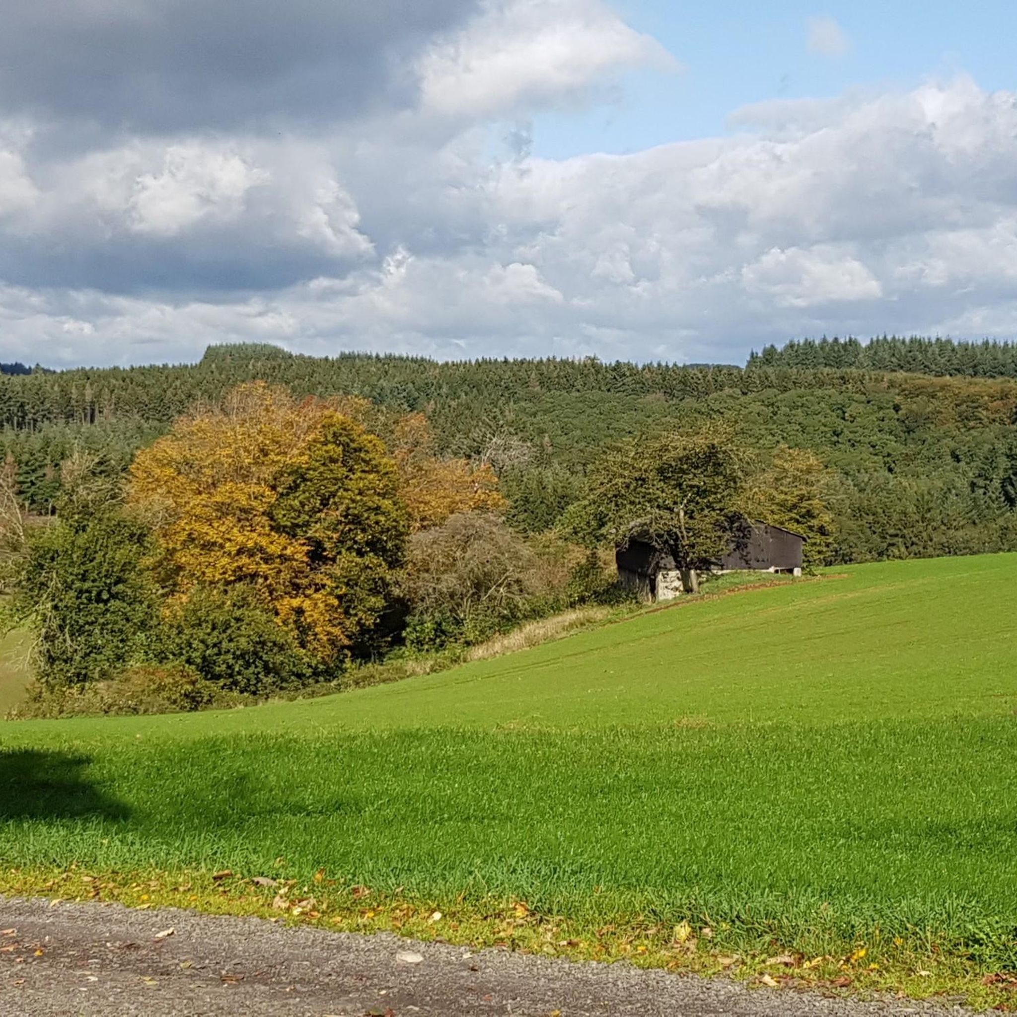
Gravel biking around Reipeldingen offers diverse terrain characterized by the Eifel Hills, river valleys, and scenic lakes. The region features a mix of challenging climbs and more moderate paths, providing varied experiences for gravel riders. Many routes follow natural water features like the Our river and pass by significant landmarks. The landscape includes both open views and sections through wooded areas.
Best gravel bike trails around Reipeldingen
- The most popular gravel bike trail is View of the Eifel Hills –…
Last updated: October 6, 2026
4.5
(2)
13
riders
43.3km
02:58
670m
660m
Hard gravel ride. Very good fitness required. Mostly paved surfaces. Suitable for all skill levels.
9
riders
49.2km
03:25
660m
660m
Hard gravel ride. Very good fitness required. You may need to push your bike for some segments of this route.

4.5
(2)
4
riders
22.1km
01:55
540m
540m
Hard gravel ride. Very good fitness required. You may need to push your bike for some segments of this route.
9
riders
50.7km
03:13
850m
850m
Hard gravel ride. Very good fitness required. Mostly paved surfaces. Suitable for all skill levels.
5.0
(2)
8
riders
41.9km
02:47
690m
690m
Hard gravel ride. Very good fitness required. Mostly paved surfaces. Suitable for all skill levels.
Get access to more routes and recommendations from other explorers.
Already have an account?
Our route recommendations are based on thousands of hikes, rides, and runs completed by other people on komoot.
Start today with a free account
Your next adventure awaits.
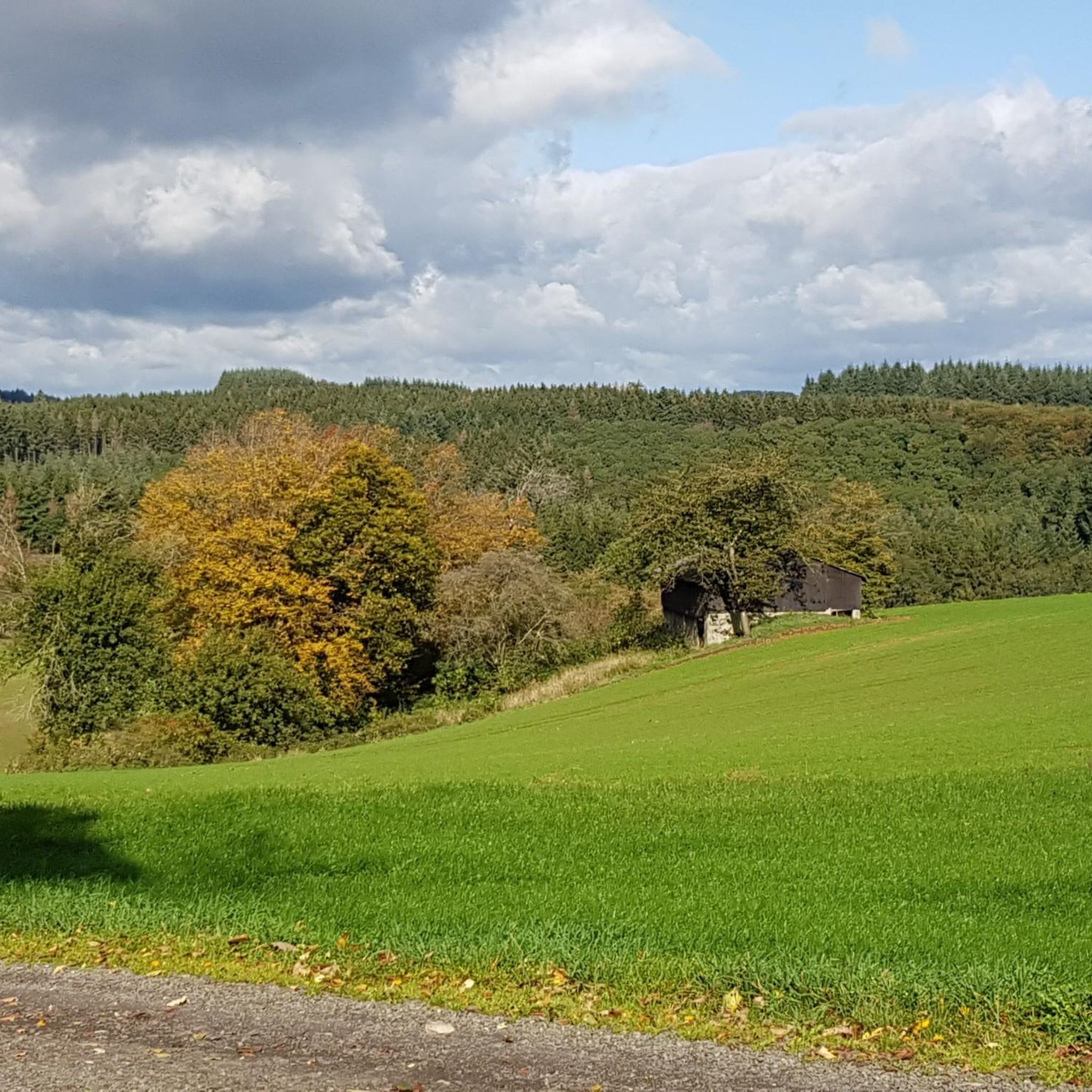
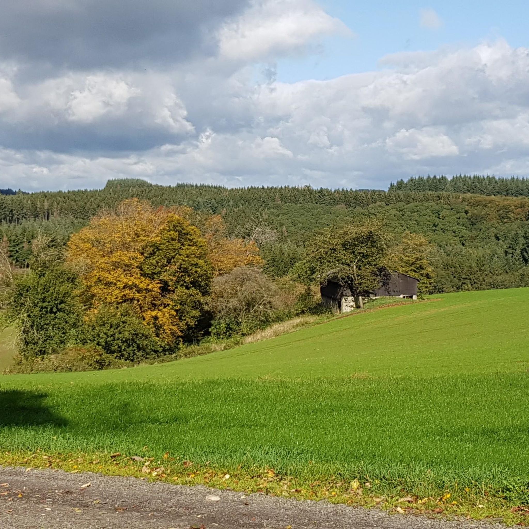
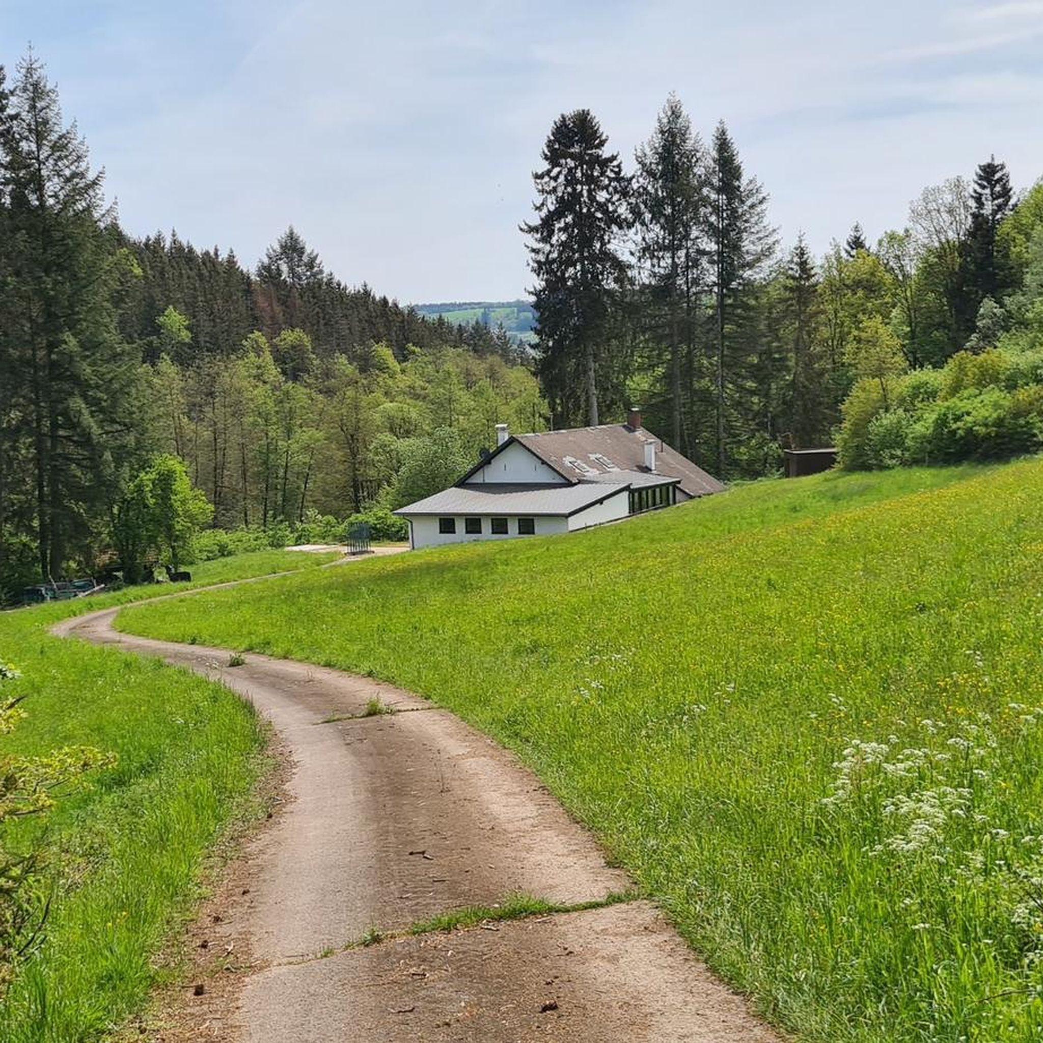
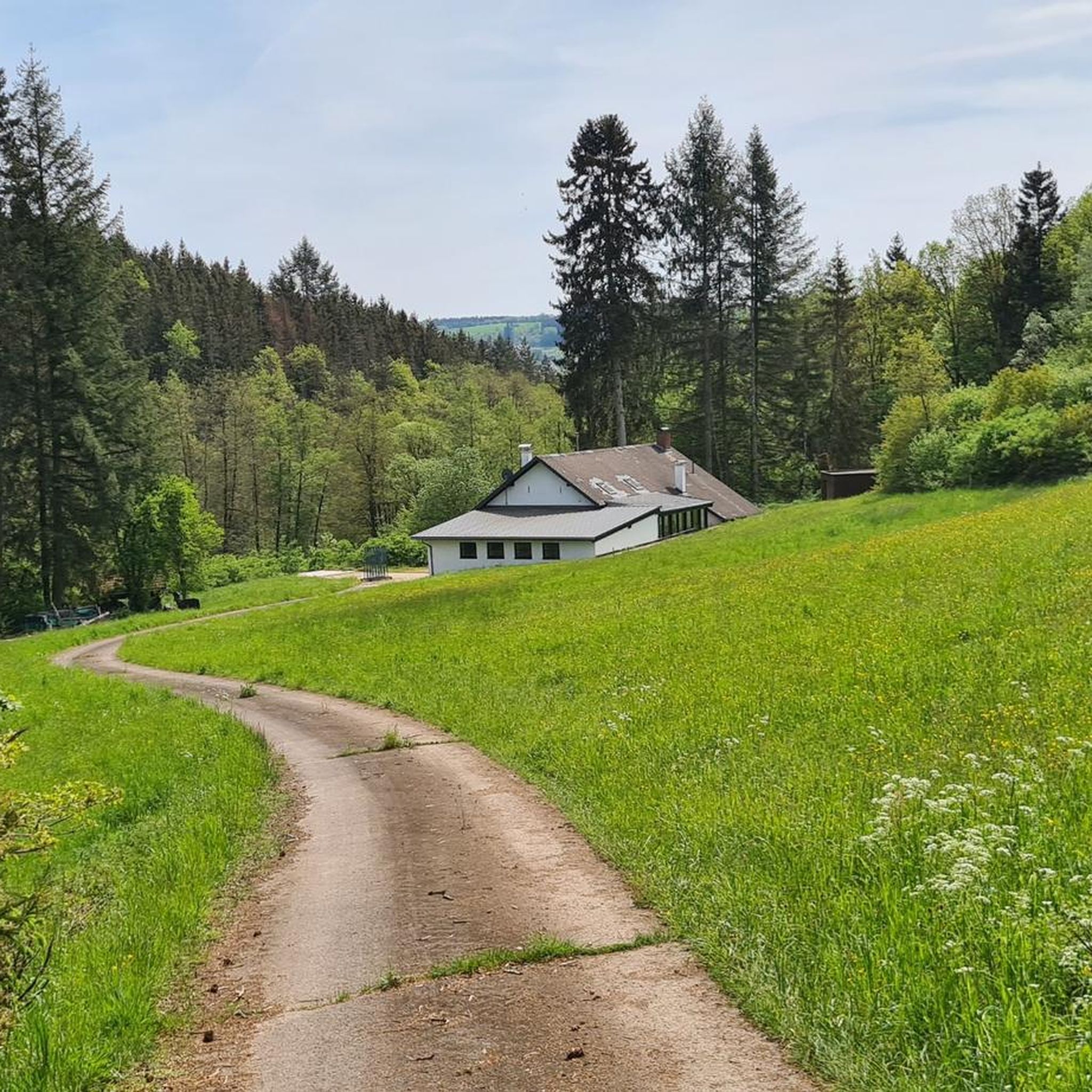
Tips from the Community

Beautiful view from the Schmalen Brücke onto the Our
1
0

It offers a beautiful view of the valley, a nice hut to take a break. Usually, someone is there to have a nice chat in the meantime.
0
0

Stable bridge, nice to look at
0
0

One of the most beautiful castles in Europe, which is also reflected in the entrance prices. Definitely an eye-catcher. Beautiful hiking trails around the castle
0
0

well-developed cycling infrastructure in Belgium
3
0

The path is marked as passable by bike. Depending on the weather conditions, it is not an entirely easy path to ride.
0
0

Beautiful viewpoint to take a break
0
0

You can go up on the left or right (depending on the direction of travel) and onto the bridge. Worth it for a short break or lunch
0
0
Frequently Asked Questions
What is the general difficulty level of gravel bike trails around Reipeldingen?
The gravel bike trails in Reipeldingen are primarily categorized as moderate to difficult. There are 9 moderate routes and 12 difficult routes, with no easy routes listed. This indicates that the terrain often involves significant climbs and varied surfaces, suitable for riders with some experience.
What are the typical lengths of gravel bike routes in the Reipeldingen area?
Gravel bike routes around Reipeldingen vary in length. For instance, the Weiswampach Lake – Weiswampach Lake loop from Weiswampach is about 16.5 miles (26.5 km), while longer routes like the Vianden Dam – Vianden Castle loop from Eisenbach extend to over 31 miles (50 km).
Are there any beginner-friendly gravel bike trails in Reipeldingen?
Based on the available routes, there are no trails specifically classified as 'easy' for gravel biking in Reipeldingen. The routes tend to be moderate to difficult, often featuring significant elevation changes and varied terrain. Riders new to gravel biking might find these routes challenging.
What kind of terrain can I expect on gravel bike trails in Reipeldingen?
The region offers diverse terrain characterized by the rolling Eifel Hills, scenic river valleys, and picturesque lakes. You can expect a mix of challenging climbs and more moderate paths, with routes often following natural water features like the Our river and passing through both open landscapes and wooded areas.
What are some notable viewpoints or scenic spots along the gravel bike routes?
Many routes offer excellent views of the Eifel Hills. For example, the View of the Eifel Hills – The Our loop from Weiswampach provides expansive vistas. Additionally, routes often follow the Our river, offering picturesque riverside scenery.
Are there any circular gravel bike routes available?
Yes, many gravel bike routes in Reipeldingen are designed as loops. Examples include the Weiswampach Lake – Weiswampach Lake loop from Weiswampach and the Vianden Dam – Vianden Castle loop from Eisenbach, allowing you to start and finish at the same point.
What attractions or landmarks can I see along the gravel bike trails?
Several routes pass by significant landmarks and natural features. You might encounter the European Monument at the Three-Country Point, the historic town of Clervaux, or the impressive Vianden Dam and Vianden Castle. The Our river itself is a prominent feature along many trails.
What do other gravel bikers enjoy the most about gravel biking in Reipeldingen?
The area is highly rated by the komoot community, with an average score of 4.75 stars from over 5 reviews. Reviewers often praise the diverse terrain, the scenic views of the Eifel Hills, and the well-integrated routes that follow natural features like the Our river.
Are there any routes that pass through particularly quiet or natural areas for wildlife spotting?
The region features sections through wooded areas and river valleys, such as the Irsental – Valley of 1,000 Butterflies, which could offer opportunities for wildlife observation. The presence of quiet forest paths also suggests areas conducive to spotting local fauna.
Are there any gravel bike routes that follow old railway lines or dedicated cycle paths?
Yes, some routes incorporate sections of dedicated paths. For example, the Vennbahn Rail Trail – View of Burg Reuland loop from Heinerscheid utilizes parts of the historic Vennbahn Rail Trail, offering a different riding experience. The Enztal Cycle Path is also a notable feature in the wider area.
Are there any routes that feature significant historical or cultural points of interest?
Absolutely. The Vianden Dam – Vianden Castle loop from Eisenbach takes you past the impressive Vianden Castle, a major historical landmark. Additionally, the nearby town of Clervaux is known for its castle and abbey, which can be explored in conjunction with a ride.
Most popular routes around Reipeldingen
Most popular attractions around Reipeldingen

Get inspired with the komoot mobile app


Explore more
Browse the best Gravel rides in other regions.
