The best running trails around Bollendorf
3.9
(23)
148
runners
16
runs
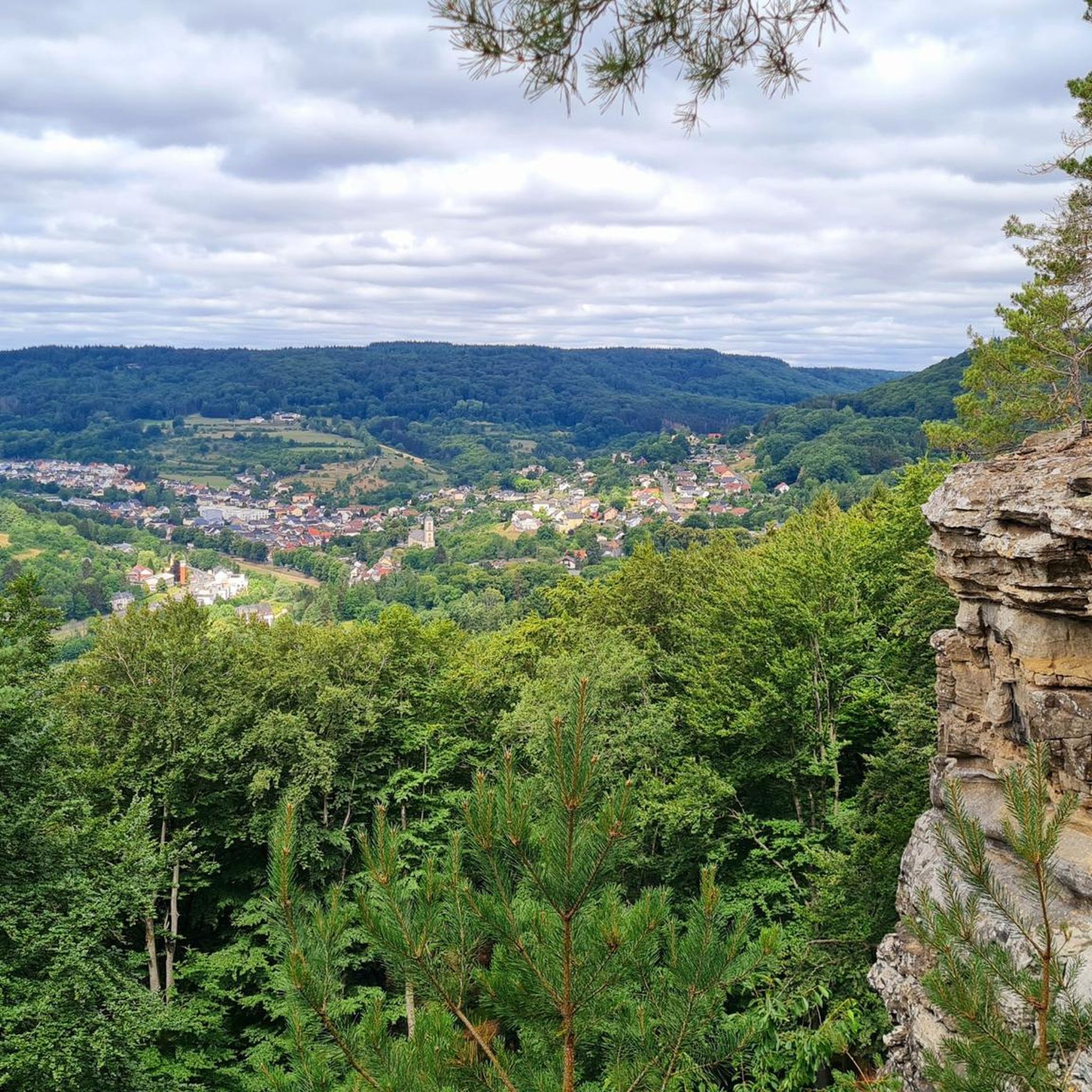
Jogging routes around Bollendorf offer diverse terrain within the German-Luxembourg Nature Park, characterized by a valley carved into sandstone by the border river Sauer. The region features impressive rock formations, narrow gorges like the "Grüne Hölle," and dense forests. Runners can explore varied landscapes, from weathered sandstone blocks to scenic viewpoints overlooking the area.
Best jogging routes around Bollendorf
- The most popular jogging route is Eulenhorst Rock Labyrinth – Green Hell loop from Bollendorf, a 5.4 miles (8.7 km) trail that takes 1 hour 7 minutes to complete, leading through impressive rock formations and the "Green Hell" gorge.
- Another top favourite among local runners is Echternach Lake – View of the Lake at Echternach loop from Bollendorf, a difficult 12.4 miles (20.0 km) path offering expansive lake views.
- Local runners also love the Beaufort–Berdorf Singletrail loop from Bollendorf, a 5.6 miles (9.0 km) trail leading through varied terrain, often completed in about 1 hour 5 minutes.
- Jogging around Bollendorf is defined by sandstone formations, mystical gorges, and dense forests, with a network of routes offering options for different ability levels.
- The routes in Bollendorf are highly rated by the komoot community with an average score of 3.8 stars from over 20 reviews. More than 130 runners have used komoot to explore Bollendorf's varied terrain.
Last updated: October 6, 2026
4.9
(7)
55
runners
8.73km
01:08
310m
310m
Hard run. Very good fitness required. Mostly paved surfaces. Suitable for all skill levels.
5.0
(1)
22
runners
20.1km
02:06
110m
110m
Hard run. Very good fitness required. Mostly paved surfaces. Suitable for all skill levels.

5.0
(2)
9
runners
9.05km
01:05
230m
230m
Moderate run. Good fitness required. Mostly paved surfaces. Suitable for all skill levels.
5.0
(3)
8
runners
Moderate run. Good fitness required. Mostly paved surfaces. Suitable for all skill levels.
3.0
(1)
10
runners
6.93km
00:50
210m
210m
Moderate run. Good fitness required. Mostly paved surfaces. Suitable for all skill levels.
Get access to more routes and recommendations from other explorers.
Already have an account?
Our route recommendations are based on thousands of hikes, rides, and runs completed by other people on komoot.
Start today with a free account
Your next adventure awaits.
Popular around Bollendorf
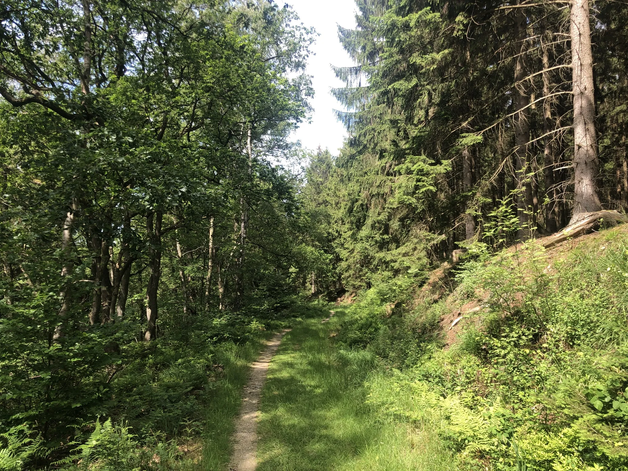
Trans-Eifel in 6 stages — Mountains rich and pure nature
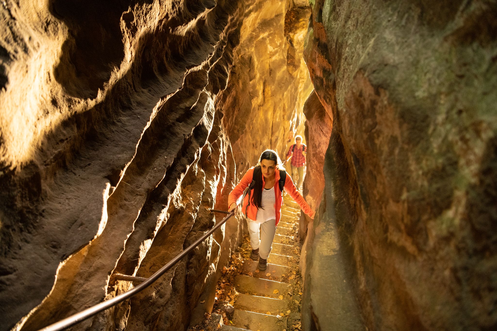
Lakes, castles and rocks – hiking in the NaturWanderPark delux
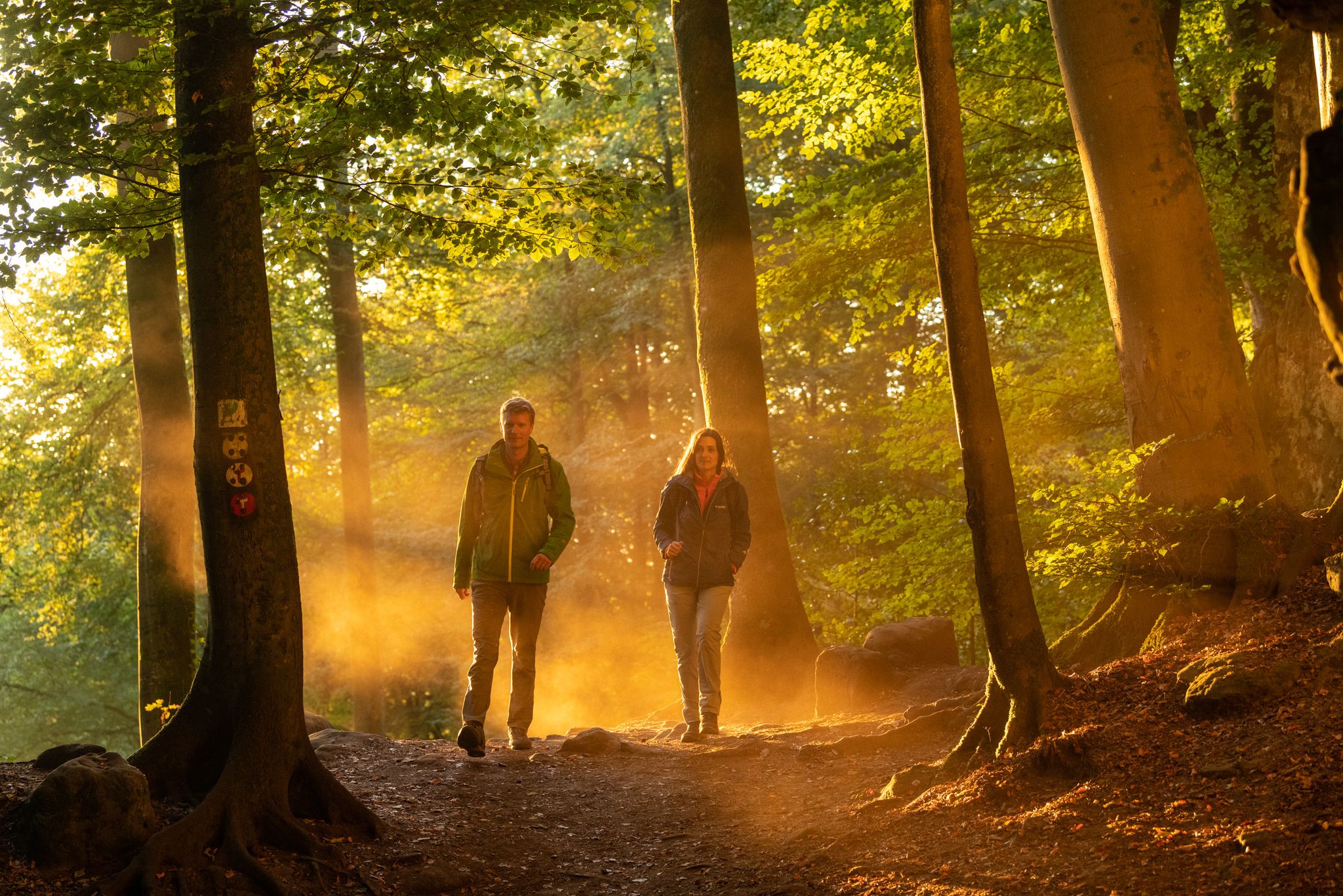
Mysterious forests and gorges — South Eifel and Luxembourg
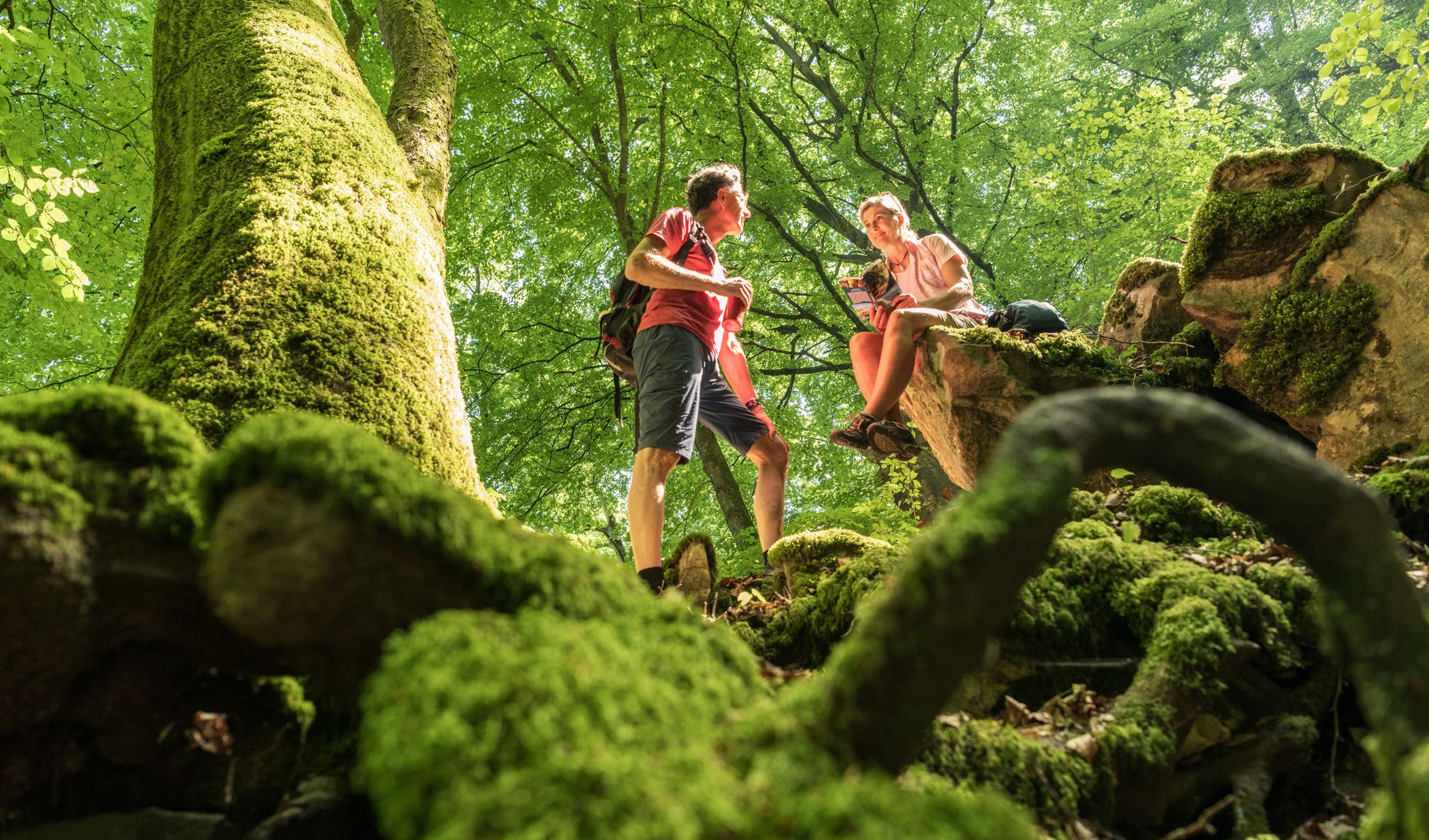
Ancient forests in the DeLux Nature Park
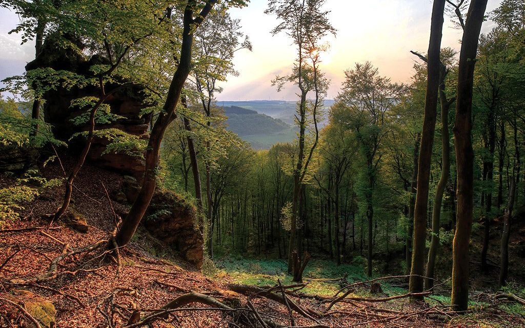
Mystical gorges and deep forests — hiking in Southern Eifel and in Luxembourg
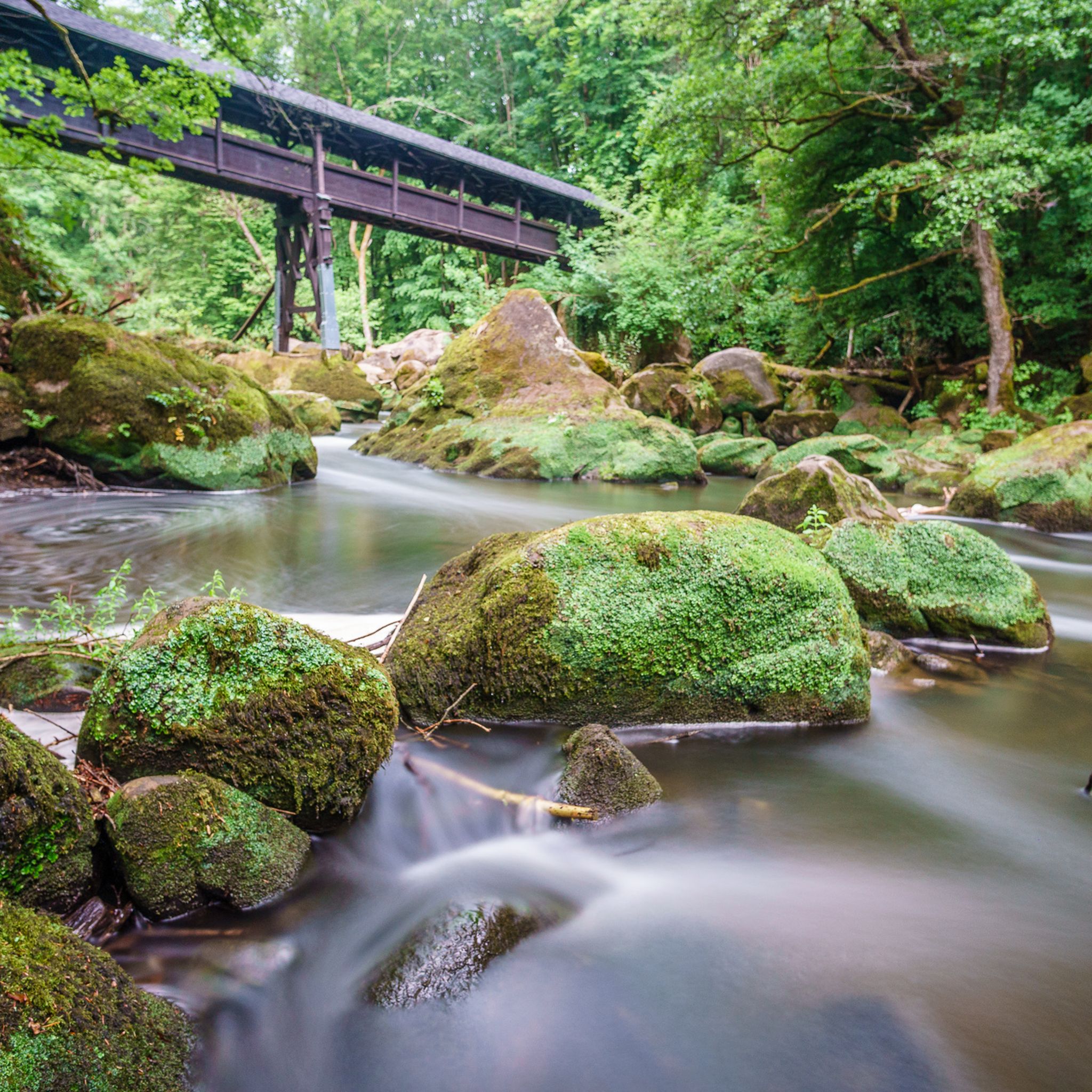
Hiking around Bollendorf
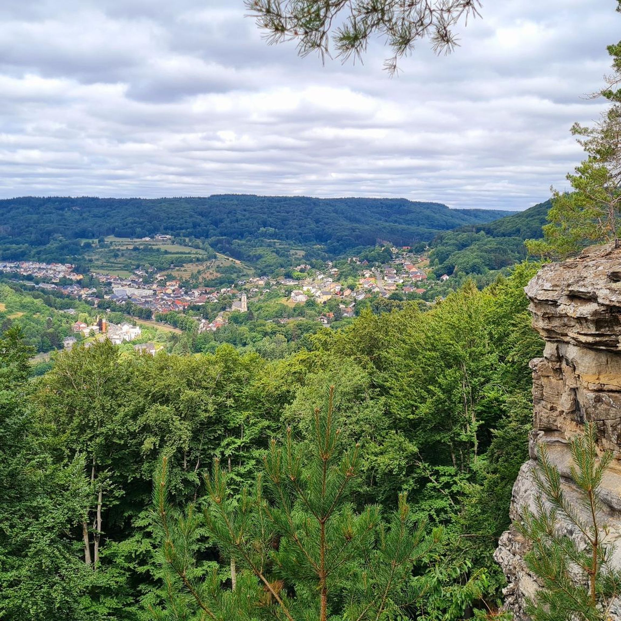
Cycling around Bollendorf
Road Cycling Routes around Bollendorf
MTB Trails around Bollendorf

Mountain Hikes around Bollendorf
Other adventures around Bollendorf


Tips from the Community

In the rock labyrinth of the Eulenhorst rock formation, you sometimes feel like you're getting lost among all the high rock crevices, passages, small stairs, etc. But you usually find the path again.
6
0
Beautiful viewpoint. Under the imposing wooden cross, the Sauer valley stretches out before you. Enjoy the panorama and - if necessary - you can rest on the bench. Beautiful viewpoint. Under the imposing wooden cross, the Sauer valley stretches out before you. Enjoy the panorama and - if necessary - you can rest on the bench.
6
0
At the end of the 18th century, Empress Maria Theresa of Austria, also Duchess of Luxembourg, had the land surveyed by engineers and cartographers. Here, on the border between the possessions of the Abbey of Echternach and the County of Vianden, a boundary stone was erected on the site of a cross that had marked the border for centuries. The massive, square stone, over a meter high and 80 cm wide, now bears the name of the esteemed sovereign, the "Maria Theresa Stone". On the east side of the marker stone is the coat of arms of the "Holy Roman Empire of the German Nation", the double-headed eagle. This testifies to the fact that the Abbey of Echternach was an imperial abbey directly subordinate to the emperor. The year of construction, 1771, is engraved above the imperial coat of arms. The coat of arms of the Counts of Vianden can be seen on the west side of the stone. The two crosses on the sides date from the Prussian era (1816). The border ran from the Maria Theresa Stone in a westerly direction through a deeply cut valley, popularly known as the "Moarkendell" - "boundary stone valley". The Moarkendell still marks the border between the districts of Bollendorf and Wallendorf today. (Felsenland Südeifel)
6
0
The Predigtstuhl rises like a pillar and is reminiscent of a pulpit in a church. This now isolated rock tower slid down from the rock face behind it more than 10,000 years ago at the end of the last ice age. At that time, water from rain or snow penetrated the rock at the top, froze, expanded, and virtually blew this block of rock away, which then slid down onto the clayey subsoil. It is assumed that the tower is still moving, invisible to the naked eye, and will continue to slide into the valley over time. (Felsenland Südeifel)
7
0
From the viewpoint on this plateau, you have a wide view over the river Sauer and the wooded slopes of the German-Luxembourg Nature Park. This rock is a popular destination for hikers and is located on several hiking trails.
7
0
The pleasure pavilion, locally known as "Losthaus", was built in 1765 in the former orchard of the abbey. It marks the end of the abbey's reconstruction campaign, which had begun in 1727. The complex building structure, built into the garden wall, has an irregular pentagonal shape. The ground floor contains a cool garden room and the first floor a room with a panoramic view. The pavilion is crowned by a mansard roof. The pavilion is located on the site of a previous building that was already documented in the 16th century. The southern facade of the pavilion proudly displays the coat of arms of the abbey and of Abbot Michael Hormann (1751-1775). It is aligned with the corner extension of the main building of the abbey, which houses the abbot's quarters. (Institut national pour le patrimoine architectural)
5
0
Close to the main entrance of this recreation area, you have a beautiful view of the lake.
7
0
Beautiful lake, even though it is artificial. The recreation center offers many opportunities, recreational, sporting and cultural. At the entrance to the lake there is a large free parking lot. You can walk or cycle around the lake, which is surrounded by 375 hectares of forest, with various hiking trails running through it.
7
0
Frequently Asked Questions
How many running routes are available in Bollendorf?
Bollendorf offers a good selection of running routes, with over 15 trails to choose from. These routes cater to various fitness levels, including easy, moderate, and difficult options.
What kind of terrain can I expect on running trails around Bollendorf?
The running trails in Bollendorf are characterized by a diverse landscape within the German-Luxembourg Nature Park. You'll encounter impressive sandstone formations, mystical gorges, and dense forests. The region's valley, carved by the border river Sauer, provides varied terrain, including weathered rock faces and lush, mossy paths.
Are there running routes suitable for beginners in Bollendorf?
Yes, Bollendorf has options for beginners. There are at least two easy running routes available, perfect for those new to trail running or looking for a more relaxed jog through the scenic landscape.
Can I find circular jogging routes in Bollendorf?
Many of the jogging routes around Bollendorf are designed as loops, offering convenient circular paths. For example, the Eulenhorst Rock Labyrinth – Green Hell loop from Bollendorf is a popular circular trail that takes you through impressive rock formations and the famous 'Grüne Hölle' gorge.
What natural landmarks or viewpoints can I discover while running in Bollendorf?
While running in Bollendorf, you can explore several unique natural landmarks. The region is known for its impressive sandstone formations, including the Bärenstein (Druidenstein). You might also encounter the narrow gorge of Teufelsloch, which offers expansive views of Bollendorf. The Eulenhorst Rock Labyrinth – Green Hell loop from Bollendorf specifically leads through the 'Grüne Hölle', a narrow gorge with weathered rock faces and lush mossy growth.
Are there any routes that feature the 'Grüne Hölle' (Green Hell)?
Yes, the renowned 'Grüne Hölle' is a highlight on several routes. The Eulenhorst Rock Labyrinth – Green Hell loop from Bollendorf is a prime example, guiding you directly through this impressive gorge known for its weathered rock faces and lush scenery. Another option is the Predigtstuhl Rock Formation – Grüne Hölle Rock Formations loop from Bollendorf.
Are the running trails in Bollendorf dog-friendly?
Generally, the natural trails within the German-Luxembourg Nature Park are welcoming to dogs, provided they are kept on a leash and owners adhere to local regulations regarding waste disposal. It's always a good idea to check specific trail signage for any restrictions.
Can I find waterfalls along any jogging routes near Bollendorf?
While not directly on every jogging route, the Bollendorf area is close to several beautiful waterfalls. Notable ones include the Schiessentümpel Waterfall and Stone Bridge, the Irrel Waterfalls, and the Hallerbach Waterfalls. These can be excellent points of interest to visit before or after your run.
What do other runners say about the trails in Bollendorf?
The running routes in Bollendorf are highly regarded by the komoot community, holding an average rating of 3.8 stars from over 20 reviews. Runners often praise the varied terrain, the impressive rock formations, and the immersive natural experience offered by the dense forests and mystical gorges.
Are there any longer, more challenging running routes in the area?
Yes, for those seeking a greater challenge, Bollendorf offers several difficult routes. A notable option is the Echternach Lake – View of the Lake at Echternach loop from Bollendorf, a difficult 12.4-mile (20.0 km) path that provides expansive lake views and a demanding workout.
Is parking available near the running trailheads in Bollendorf?
While specific parking locations for each trailhead are not detailed, Bollendorf, as a hub for outdoor activities within a nature park, typically offers designated parking areas for visitors accessing trails. It's advisable to check local signage upon arrival.
When is the best time of year to go running in Bollendorf?
Bollendorf's natural beauty can be enjoyed year-round. Spring and autumn offer pleasant temperatures and vibrant foliage, making them ideal for running. Summer provides longer daylight hours, while winter can transform the landscape into a serene, snowy wonderland, though some trails might require more appropriate footwear.
Most popular routes around Bollendorf
Most popular attractions around Bollendorf

Get inspired with the komoot mobile app


Explore more
Browse the best Running Trails & Routes in other regions.
