The best walks and hikes around Bollendorf
4.5
(12862)
45,326
hikers
152
hikes
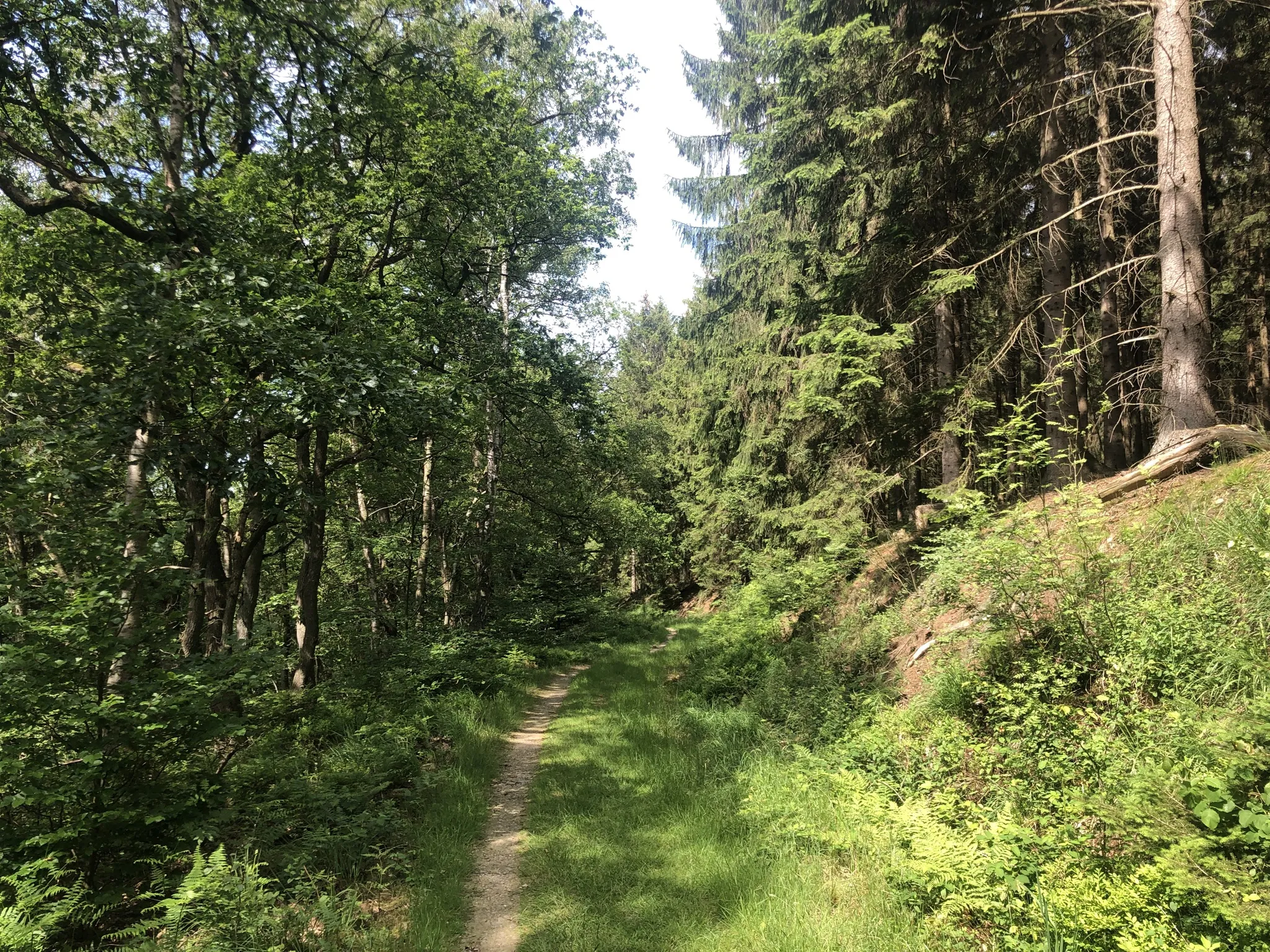
Hiking around Bollendorf offers diverse trails through a landscape defined by dramatic sandstone formations and the picturesque Sauer River valley. The region features impressive rock structures, narrow gorges, and dense woodlands, creating varied terrain for outdoor exploration. This area, nestled in the German-Luxembourg Nature Park, provides a unique blend of natural beauty and geological interest. The trails navigate through climatically warm valleys and offer views of the surrounding Eifel region.
Best hiking trails around Bollendorf
- The most popular hiking route is The Felsenweg 2 from Bollendorf to Luxembourg's Little Switzerland, a 13.1 miles (21.0 km) trail that takes 6 hours 31 minutes to complete. This difficult route connects Bollendorf to "Little Switzerland" in Luxembourg, passing through attractive forests and spectacular rock formations.
- Another top favourite among local hikers is Eulenhorst Rock Passage – Eulenhorst Rock Labyrinth loop from Grundhof, a moderate 6.7 miles (10.8 km) path. This trail leads through a rock labyrinth and features the Eulenhorst Rock Passage, offering unique geological scenery.
- Local hikers also love the Mandrack Passage – Sieweschlëff Rock Labyrinth loop from Bollendorf, a 6.6 miles (10.6 km) trail leading through rock labyrinths and passages, often completed in about 3 hours 18 minutes.
- Hiking around Bollendorf is defined by dramatic sandstone formations, the scenic Sauer River valley, and dense woodlands. The network offers options for different ability levels, from easy strolls to challenging routes.
- The routes in Bollendorf are highly rated by the komoot community with an average score of 4.5 stars from over 11,000 reviews. More than 45,000 hikers have used komoot to explore Bollendorf's varied terrain.
Last updated: October 1, 2026
4.8
(255)
850
hikers
21.0km
06:31
750m
750m
Hard hike. Very good fitness required. Mostly accessible paths. Sure-footedness required.
4.8
(1174)
3,687
hikers
10.6km
03:04
280m
280m
Moderate hike. Good fitness required. Easily-accessible paths. Suitable for all skill levels.

4.8
(989)
3,100
hikers
10.6km
03:18
300m
300m
Moderate hike. Good fitness required. Mostly accessible paths. Sure-footedness required.
4.7
(170)
371
hikers
6.24km
01:49
160m
160m
Easy hike. Great for any fitness level. Easily-accessible paths. Suitable for all skill levels.
4.8
(45)
212
hikers
22.0km
06:35
590m
590m
Hard hike. Very good fitness required. Mostly accessible paths. Sure-footedness required.
Get access to more routes and recommendations from other explorers.
Already have an account?
Our route recommendations are based on thousands of hikes, rides, and runs completed by other people on komoot.
Start today with a free account
Your next adventure awaits.
Popular around Bollendorf
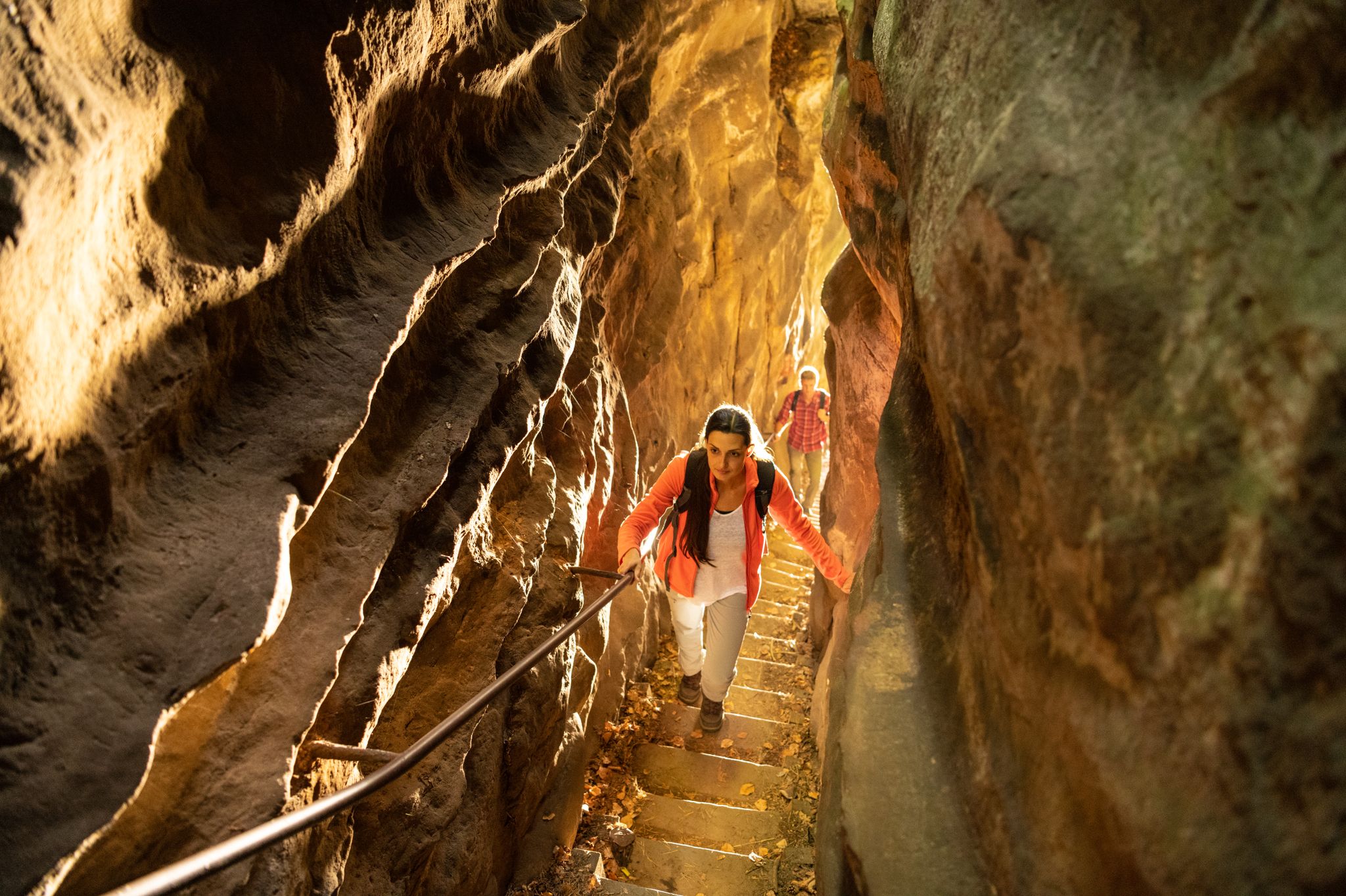
Lakes, castles and rocks – hiking in the NaturWanderPark delux
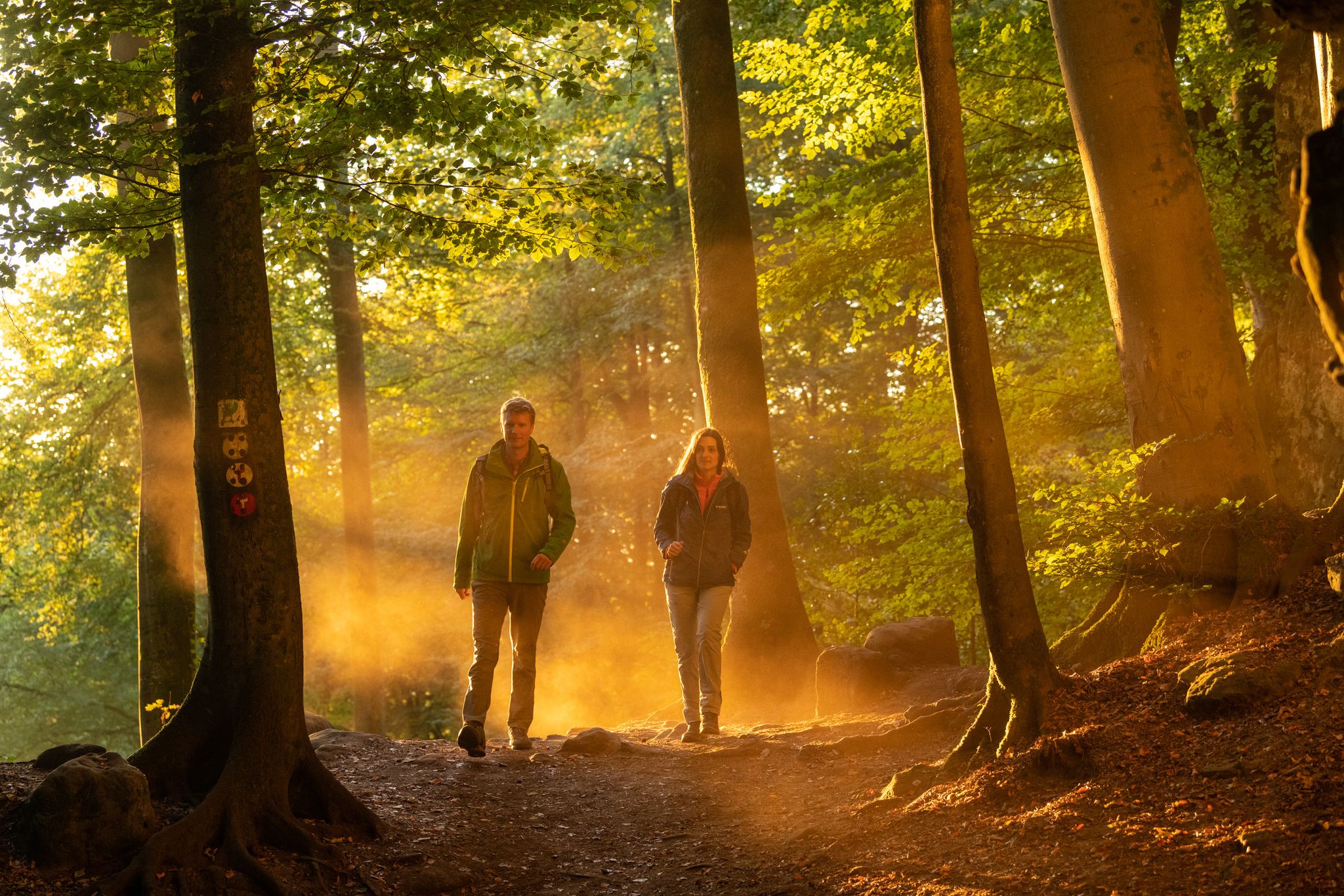
Mysterious forests and gorges — South Eifel and Luxembourg
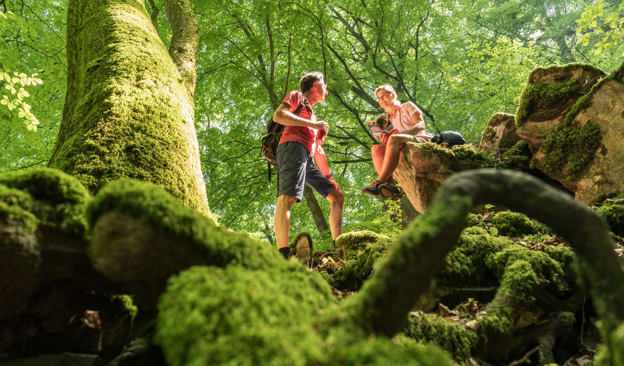
Ancient forests in the DeLux Nature Park
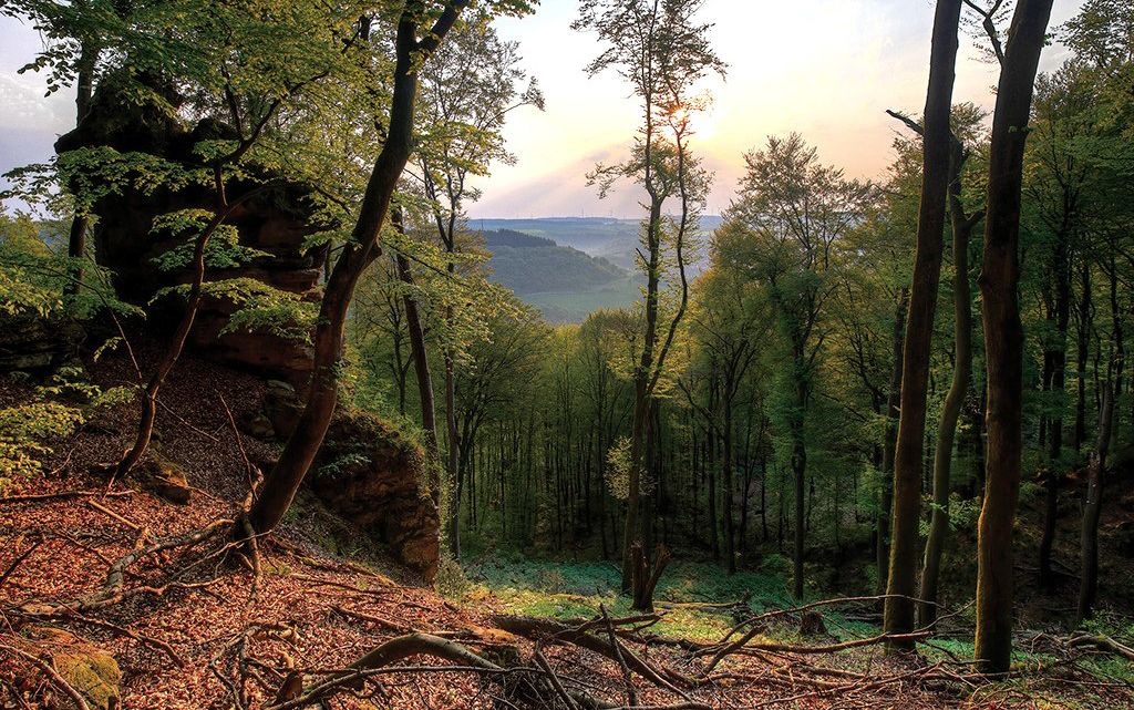
Mystical gorges and deep forests — hiking in Southern Eifel and in Luxembourg
Trans-Eifel in 6 stages — Mountains rich and pure nature
Cycling around Bollendorf
Road Cycling Routes around Bollendorf
MTB Trails around Bollendorf

Mountain Hikes around Bollendorf
Running Trails around Bollendorf
Other adventures around Bollendorf


Tips from the Community

The rock formations continue to amaze. Always different. It is beautiful here.
7
0
This makes the tour a bit more adventurous.
6
0
In the rock labyrinth of the Eulenhorst rock formation, you sometimes feel like you're getting lost among all the high rock crevices, passages, small stairs, etc. But you usually find the path again.
6
0
These stone steps make it easier for the hiker to ascend and/or descend.
6
0
Beautiful viewpoint. Under the imposing wooden cross, the Sauer valley stretches out before you. Enjoy the panorama and - if necessary - you can rest on the bench. Beautiful viewpoint. Under the imposing wooden cross, the Sauer valley stretches out before you. Enjoy the panorama and - if necessary - you can rest on the bench.
6
0
The Predigtstuhl rises like a pillar and is reminiscent of a pulpit in a church. This now isolated rock tower slid down from the rock face behind it more than 10,000 years ago at the end of the last ice age. At that time, water from rain or snow penetrated the rock at the top, froze, expanded, and virtually blew this block of rock away, which then slid down onto the clayey subsoil. It is assumed that the tower is still moving, invisible to the naked eye, and will continue to slide into the valley over time. (Felsenland Südeifel)
7
0
Beautiful rock formations along the paths.
7
0
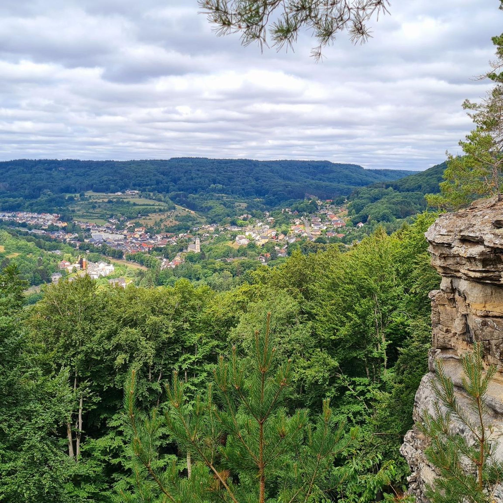
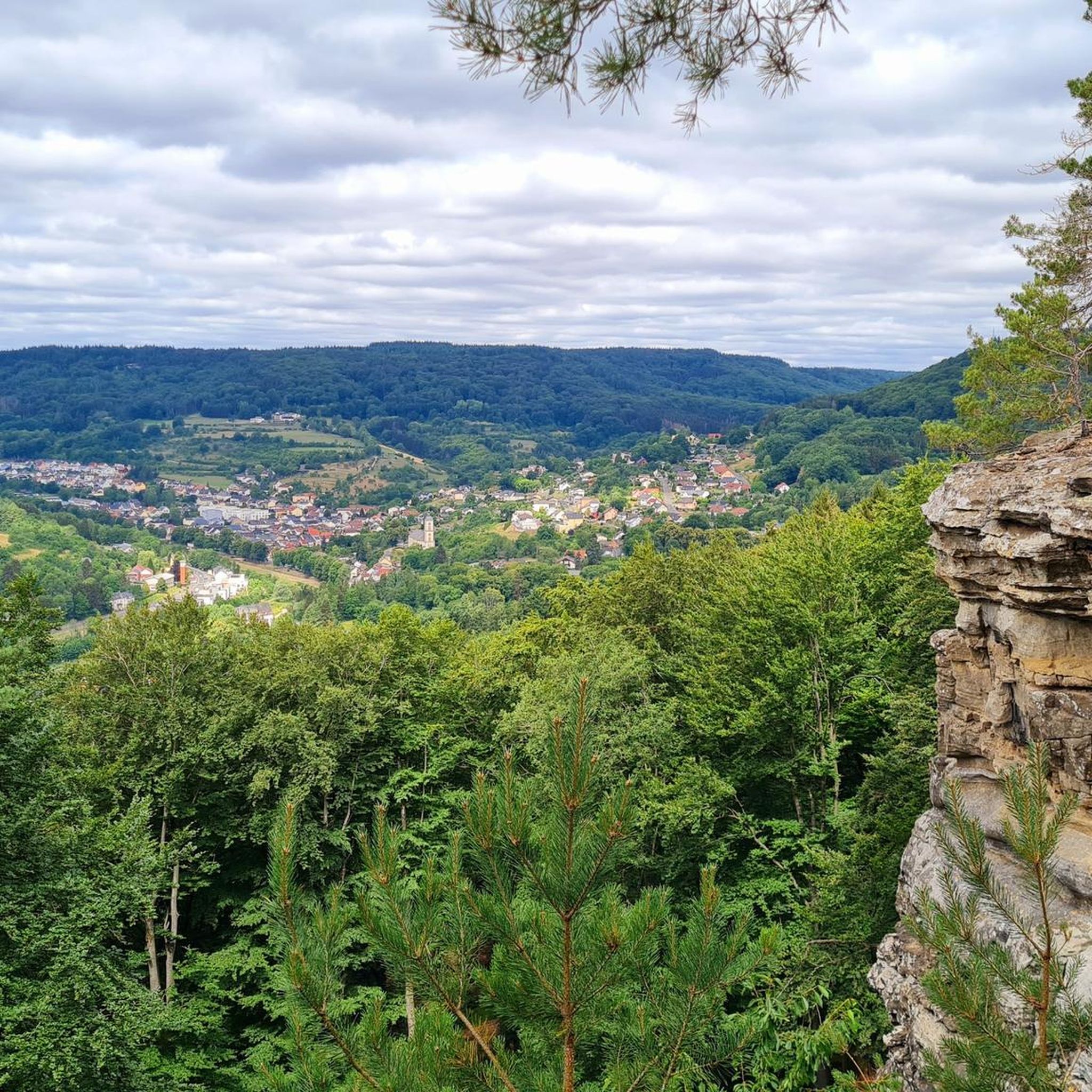
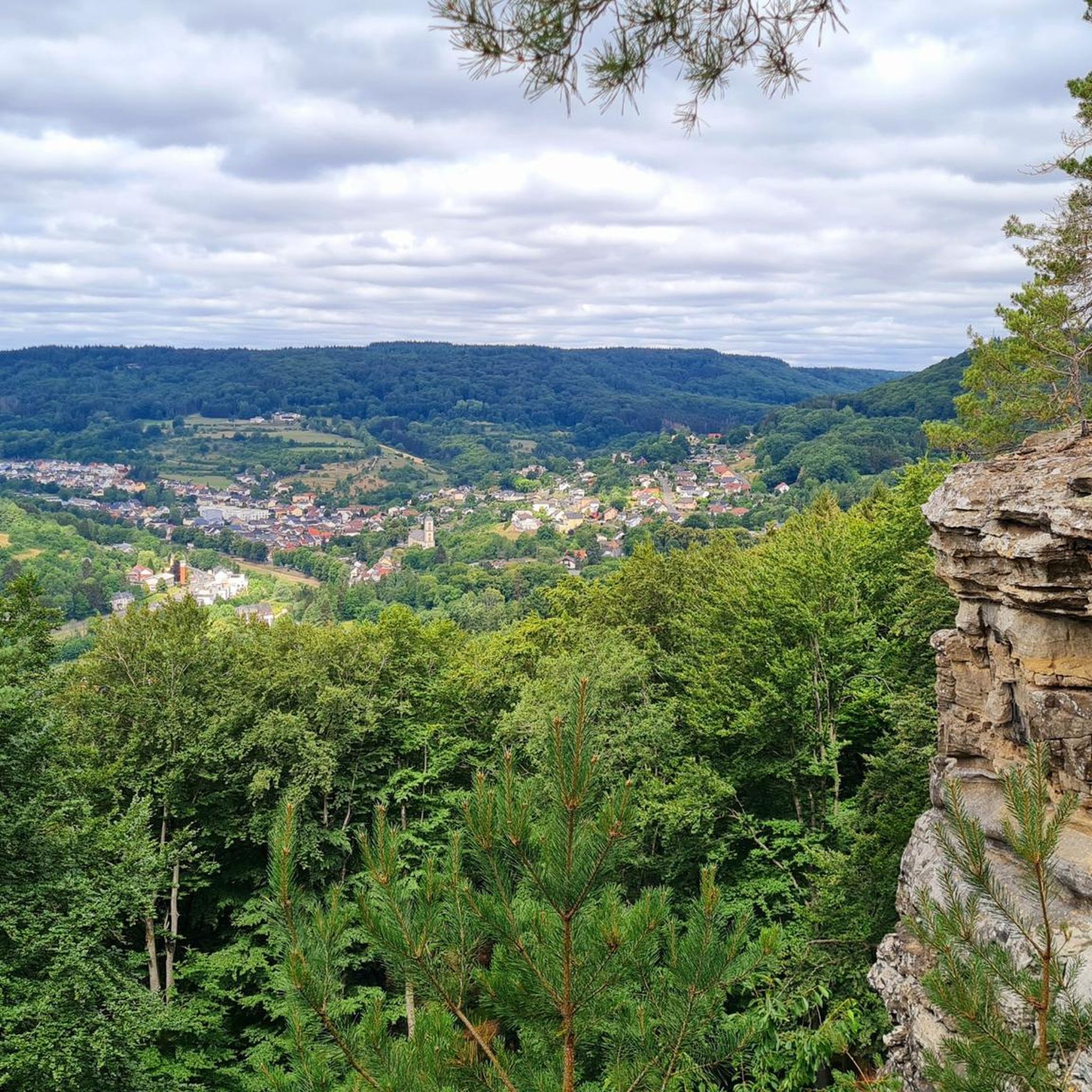
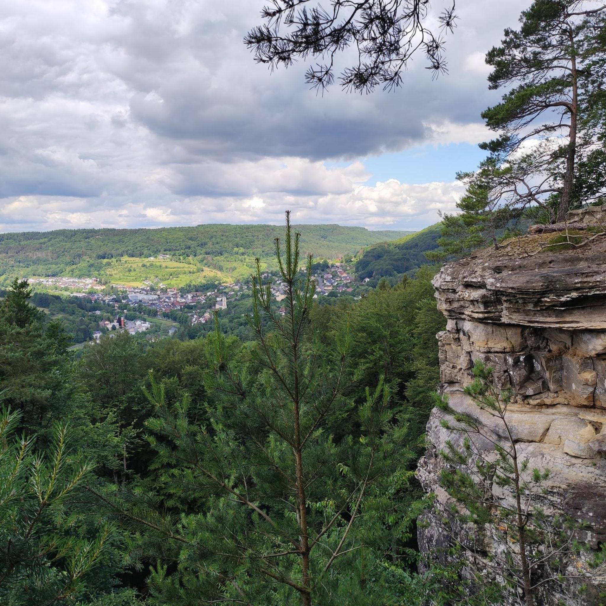
From the viewpoint on this plateau, you have a wide view over the river Sauer and the wooded slopes of the German-Luxembourg Nature Park. This rock is a popular destination for hikers and is located on several hiking trails.
7
0
Frequently Asked Questions
How many hiking trails are available around Bollendorf?
Bollendorf offers a wide variety of hiking opportunities, with over 150 routes available. These trails cater to different preferences, ranging from easy strolls to more challenging routes through the region's unique sandstone landscapes.
What makes hiking in Bollendorf unique?
Hiking in Bollendorf is defined by its dramatic sandstone formations, picturesque Sauer River valley, and dense woodlands. The region, nestled in the German-Luxembourg Nature Park, features impressive rock structures like the 'Grüne Hölle' and offers a unique blend of natural beauty and geological interest.
Are there hikes suitable for families with children in Bollendorf?
Yes, Bollendorf offers family-friendly options. The 'Bollendorfer Märchenpfad' (Bollendorf Fairy Tale Path) is specifically designed to engage children, combining nature and culture in an accessible way. Many easy routes are also suitable for families.
What kind of terrain can I expect on hikes in Bollendorf?
You can expect varied terrain, from paths winding through climatically warm valleys along the Sauer River to trails navigating narrow gorges and dense forests. The region is characterized by impressive sandstone rock formations, which means some routes may involve rocky sections and require sure-footedness.
Are there any notable natural features or viewpoints to discover?
Absolutely. Hikers can explore the spectacular 'Grüne Hölle' (Green Hell) gorge, the impressive Teufelsloch (Devil's Hole) with its viewpoint, and the large sandstone block known as Bärenstein or Druidenstein. The Kaleikapp offers panoramic views of the wooded Müllerthal, and the Huel Lee (Hohllay Cave) provides insight into ancient quarrying.
Can I find waterfalls on trails around Bollendorf?
Yes, some trails in the wider region feature waterfalls. For example, the Hallerbach Waterfalls – Werschrummschlüff Rock Passage loop from Grundhof is a challenging route that includes the Hallerbach Waterfalls.
Are there any historical sites to explore while hiking near Bollendorf?
Yes, the region has a rich history. Hikers can discover a Roman cremation burial ground known as 'Kiesgräber' and the remains of a Roman villa in the forest between Bollendorf and Ferschweiler, offering a glimpse into the area's ancient past.
What do other hikers enjoy most about hiking in Bollendorf?
The area is highly rated by the komoot community, with an average score of 4.5 stars from over 11,000 reviews. Hikers often praise the dramatic sandstone formations, the unique rock labyrinths, and the scenic beauty of the Sauer River valley.
Are there any circular walks available in Bollendorf?
Yes, many routes in Bollendorf are designed as circular walks, allowing you to start and end at the same point. Examples include the Eulenhorst Rock Passage – Eulenhorst Rock Labyrinth loop from Grundhof and the Mandrack Passage – Sieweschlëff Rock Labyrinth loop from Bollendorf, which take you through impressive rock formations.
Are dogs allowed on the hiking trails in Bollendorf?
Generally, dogs are welcome on hiking trails in Bollendorf and the surrounding German-Luxembourg Nature Park. However, it's always advisable to keep them on a leash, especially in nature protection areas, near wildlife, or when passing through villages.
What is the best time of year to hike in Bollendorf?
Bollendorf is enjoyable for hiking throughout much of the year. Spring brings lush greenery and blooming wildflowers, while autumn offers vibrant fall colors. Summer is popular, especially along the Sauer River, and even mild winter days can be pleasant for exploring the unique rock formations.
Are there options for easy hikes around Bollendorf?
Yes, Bollendorf offers numerous easy hikes. Out of the over 150 routes, nearly 80 are classified as easy, providing accessible options for a relaxed stroll through the scenic landscape. An example is the Falkenlay Rock Formation – Pigsties loop from Weilerbach.
Most popular routes around Bollendorf
Most popular attractions around Bollendorf

Get inspired with the komoot mobile app


Explore more
Browse the best Hikes in other regions.
