The best walks and hikes around Adelsdorf
4.6
(435)
1,796
hikers
173
hikes
Hiking around Adelsdorf offers diverse trails situated near the Franconian Switzerland-Veldenstein Forest Nature Park. The region features a mix of forests, fields, and meadows, with the Aischgrund Pond Landscape providing unique flat circular routes. Adelsdorf is also located within the Franconian Jura, presenting a picturesque landscape with an average elevation of 290 meters. The serene Regnitz River adds a tranquil backdrop to some of the hiking paths.
Best hiking trails around Adelsdorf
- The most popular hiking route is Neuhaus Moated Castle – Aischgrund Pond Landscape loop from Neuhaus, an easy 2.9 miles (4.6 km) trail that takes 1 hour 10 minutes to complete. This path explores the historic moated castle and the rich wildlife of the pond landscape.
- Another top favourite among local hikers is Memorial Hill near Röttenbach – Historic Orchard Meadow loop from Heppstädt, a moderate 6.7 miles (10.8 km) path. This route traverses varied terrain, including historic orchard meadows and offers views of the surrounding countryside.
- Local hikers also love the Neuhaus Moated Castle – Aischgrund Pond Landscape loop from Adelsdorf, a 7.8 miles (12.5 km) trail leading through the Aischgrund Pond Landscape and past historical sites, often completed in about 3 hours 15 minutes.
- Hiking around Adelsdorf is defined by its proximity to the Franconian Switzerland-Veldenstein Forest Nature Park, the Aischgrund Pond Landscape, and the Franconian Jura. The network of trails offers options for various ability levels, from easy walks to more challenging routes.
- The routes in Adelsdorf are highly rated by the komoot community with an average score of 4.6 stars from over 390 reviews. More than 1800 hikers have used komoot to explore Adelsdorf's varied terrain.
Last updated: September 30, 2026
4.6
(68)
202
hikers
Easy hike. Great for any fitness level. Easily-accessible paths. Suitable for all skill levels.
4.5
(27)
97
hikers
10.7km
02:54
140m
140m
Moderate hike. Good fitness required. Easily-accessible paths. Suitable for all skill levels.

4.3
(18)
64
hikers
Moderate hike. Good fitness required. Easily-accessible paths. Suitable for all skill levels.
4.8
(26)
84
hikers
5.29km
01:23
40m
40m
Easy hike. Great for any fitness level. Easily-accessible paths. Suitable for all skill levels.
4.6
(12)
42
hikers
7.23km
01:58
100m
100m
Easy hike. Great for any fitness level. Easily-accessible paths. Suitable for all skill levels.
Get access to more routes and recommendations from other explorers.
Already have an account?
Our route recommendations are based on thousands of hikes, rides, and runs completed by other people on komoot.
Start today with a free account
Your next adventure awaits.
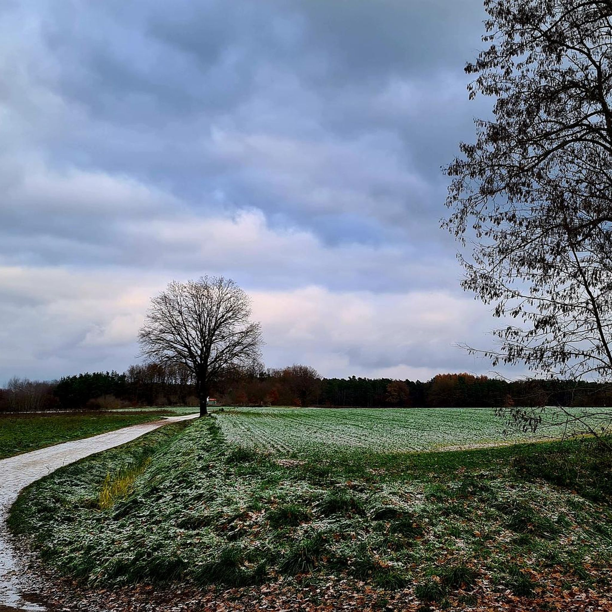
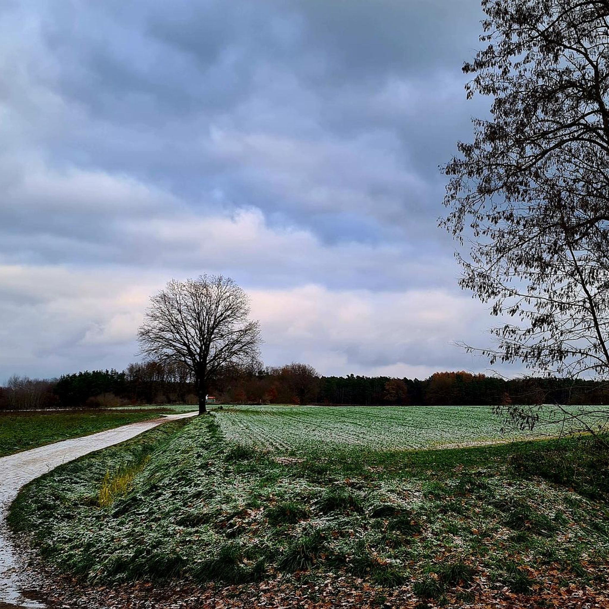
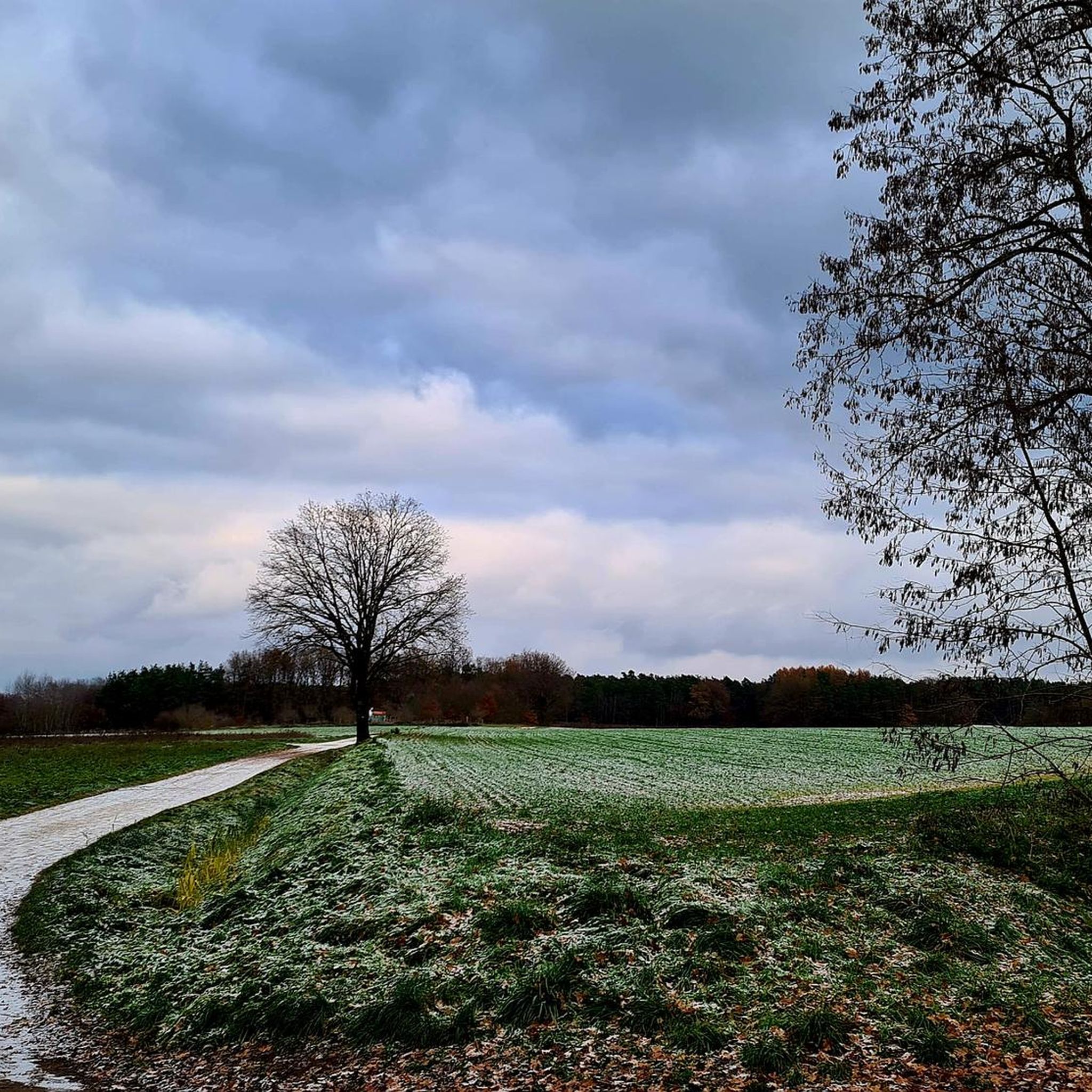
Tips from the Community

A special highlight 👍☀️
0
0
The Protestant Church of Neuhaus
0
0
Great garden with many positive stations
0
0

You should see it once
0
0

There is a drinking water source here.
0
0


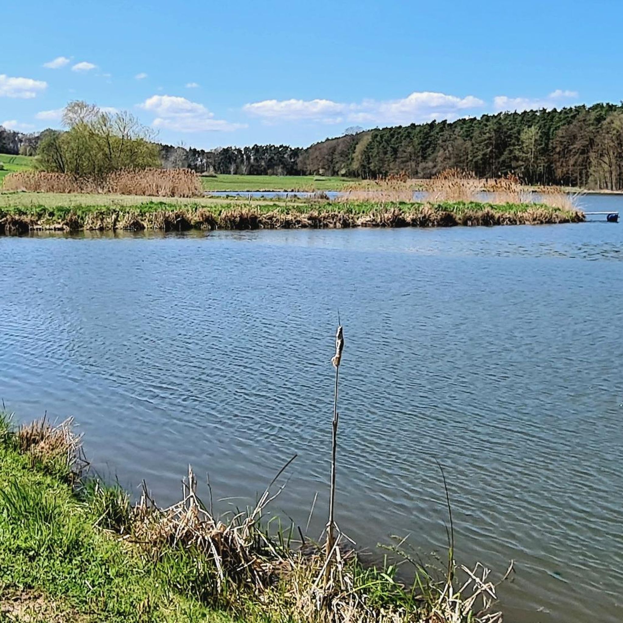
The water surface is approximately 100,000 sqm, the depth varies between a few centimeters and approximately 3m
0
0
The water surface is approximately 100,000 square meters, the depth varies between a few centimeters and approximately 3 meters.
0
0
Frequently Asked Questions
How many hiking trails are available around Adelsdorf?
There are over 180 hiking routes in the Adelsdorf region, catering to various skill levels. This includes more than 110 easy trails, 65 moderate routes, and a few more challenging options for experienced hikers.
What kind of landscapes can I expect to see while hiking in Adelsdorf?
Adelsdorf offers a diverse landscape, situated on the edge of the Franconian Switzerland-Veldenstein Forest Nature Park. You'll find a mix of dense forests, open fields, and meadows. The region is also known for the unique Aischgrund Pond Landscape with its numerous carp lakes, and the picturesque Franconian Jura with an average elevation of 290 meters. The serene Regnitz River also provides tranquil backdrops for some routes.
Are there any easy, circular routes suitable for a relaxed walk?
Yes, Adelsdorf is particularly well-suited for easy, circular walks, especially around the Aischgrund Pond Landscape. An example is the 4.6 km Neuhaus Moated Castle – Aischgrund Pond Landscape loop from Neuhaus, which is an easy trail exploring the historic moated castle and the rich wildlife of the pond area.
What historical sites or attractions can I visit along the hiking trails?
Many hiking routes in Adelsdorf pass by significant historical sites. You can explore the impressive Neuhaus Moated Castle, a baroque country lodge with roots dating back to 1120. Other routes might lead you to the magnificent Weissenstein Castle, a 17th-century Baroque complex with a beautiful park, or the impressive 18th-century Pilgrimage Church Maria Hilf.
What is the best time of year to go hiking in Adelsdorf?
The best seasons for hiking in Adelsdorf are spring and autumn. During these times, the surrounding area displays vibrant colors, and mild temperatures make for pleasant conditions. Spring and early summer are particularly beautiful when wildflowers are in full bloom.
Are there any family-friendly hiking options in Adelsdorf?
Absolutely. Many trails in Adelsdorf are suitable for families, offering manageable distances and gentle terrain. The routes through the Aischgrund Pond Landscape are often flat and provide opportunities to spot wildlife, making them engaging for children. The path leading to Weissenstein Castle is also noted as particularly suitable for families due to its manageability and wonderful views.
What do other hikers say about the trails in Adelsdorf?
The hiking routes in Adelsdorf are highly rated by the komoot community, with an average score of 4.6 stars from nearly 400 reviews. Hikers often praise the diverse terrain, the tranquility of nature, and the well-maintained paths that lead through picturesque Franconian countryside and past historical landmarks.
Can I find trails that offer views of lakes or ponds?
Yes, the Aischgrund Pond Landscape is a defining feature of the region, offering numerous trails that meander past carp lakes. For example, the easy Great Hofsee – Steiner Lake loop from Weppersdorf provides scenic views of these bodies of water and opportunities to observe local wildlife.
Are there any longer, moderate hikes for those looking for more of a challenge?
Yes, for those seeking a longer, moderate hike, the 10.8 km Memorial Hill near Röttenbach – Historic Orchard Meadow loop from Heppstädt is a great option. This route traverses varied terrain, including historic orchard meadows, and offers expansive views of the surrounding countryside.
What kind of wildlife might I encounter on the trails?
The Aischgrund Pond Landscape is particularly rich in wildlife. Hikers often have the chance to spot beavers, otters, and various bird species such as eagles, ducks, and herons. The diverse flora and fauna of the Franconian countryside also contribute to a vibrant natural experience.
Are there any trails that pass through the Veldensteiner Forst?
Adelsdorf's proximity to the Franconian Switzerland-Veldenstein Forest Nature Park means that many trails offer access to this extensive forest. For more experienced hikers, the Veldensteiner Forst provides adventurous tours with spectacular views and a deep sense of natural tranquility.
Most popular routes around Adelsdorf
Most popular attractions around Adelsdorf

Get inspired with the komoot mobile app


Explore more
Browse the best Hikes in other regions.
