Top 5 Mountain Passes around Roussillon-En-Morvan
Mountain passes around Roussillon-En-Morvan are situated within the Morvan Regional Natural Park, an area characterized by woodlands, rolling hills, and diverse landscapes. This region features numerous cols that provide scenic routes and opportunities for outdoor activities. The Morvan offers a tranquil natural environment, with elevated viewpoints providing panoramic vistas. The area also holds cultural and historical context, including sites like the ancient Celtic town of Bibracte.
Best mountain passes around Roussillon-En-Morvan
- The most popular mountain pass is Haut-Folin Pass,…
Last updated: June 26, 2026
Haut-Folin Pass
Highlight • Mountain Pass
Translated by Google •
Tip by

Col de la Croix de Chèvre
Highlight • Mountain Pass
Translated by Google •
Tip by

Sign up now to discover places like this
Get recommendations on the best single tracks, peaks, & plenty of other exciting outdoor places.
Sign up for free
Col de la croix d'Allye
Highlight • Mountain Pass
Translated by Google •
Tip by

Col d'en Moulu
Highlight • Mountain Pass
Translated by Google •
Tip by
Climb to Col du Folin from Arleuf
Highlight (Segment) • Climb
Translated by Google •
Tip by

Start today with a free account
Your next adventure awaits.
Login or Signup
Tips from the Community

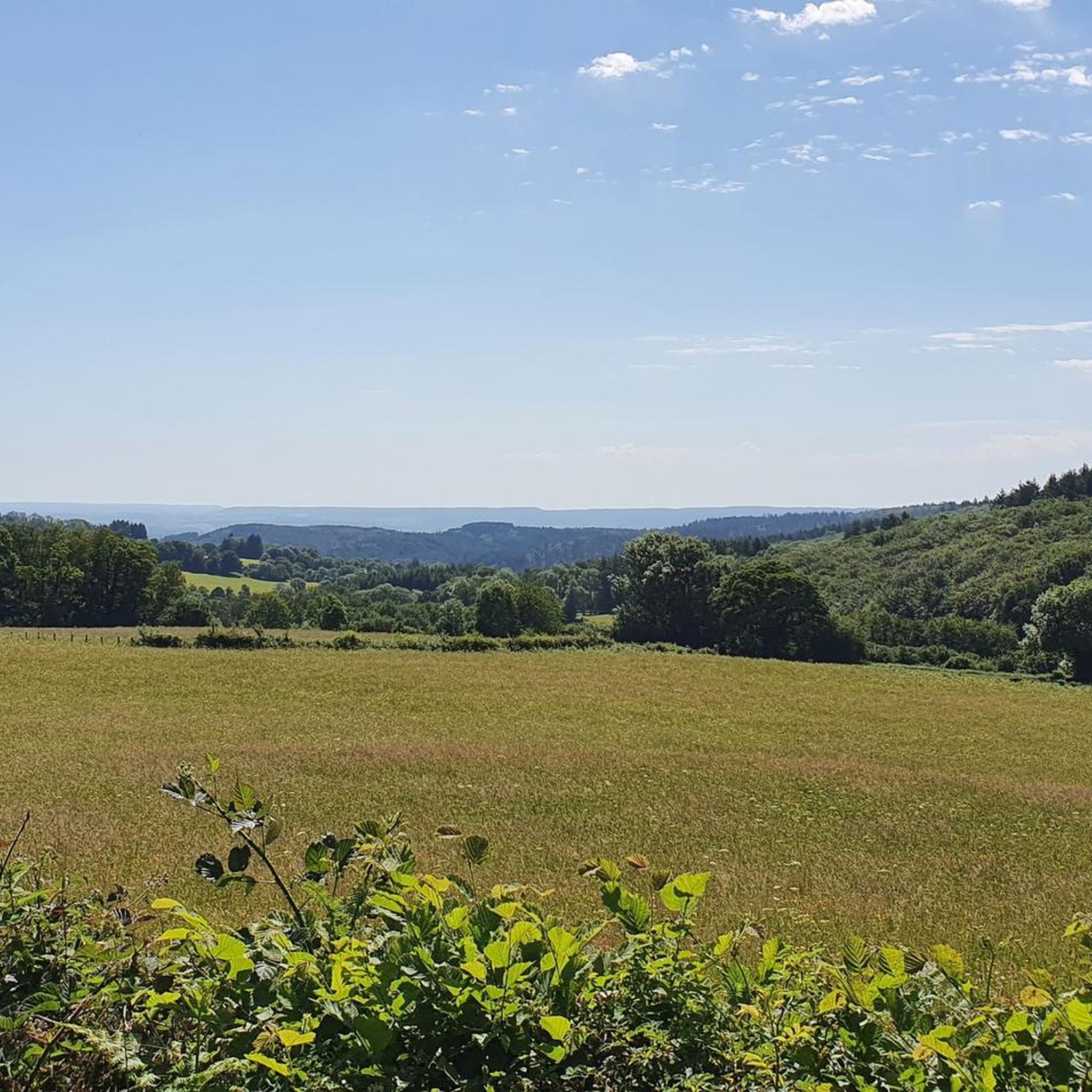
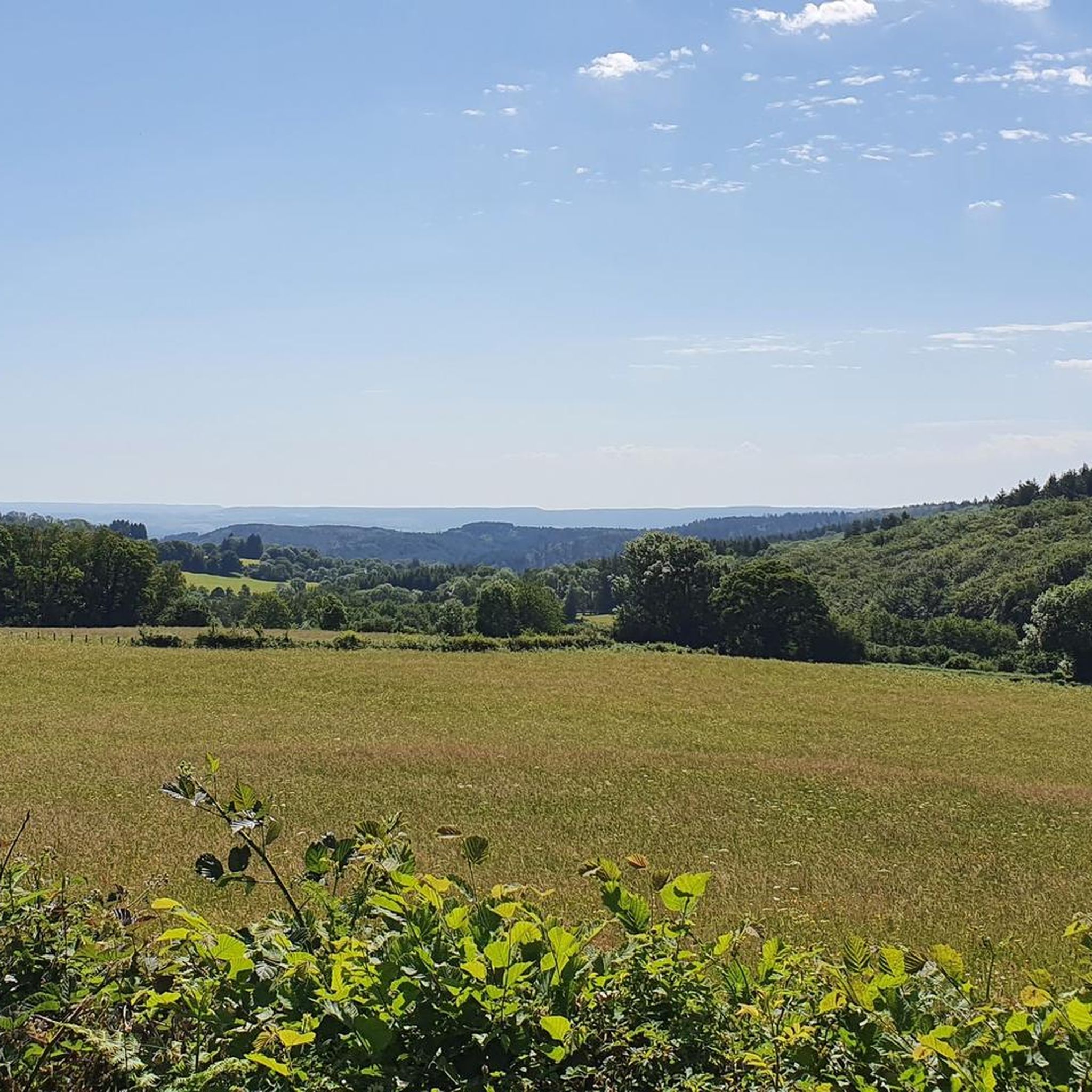
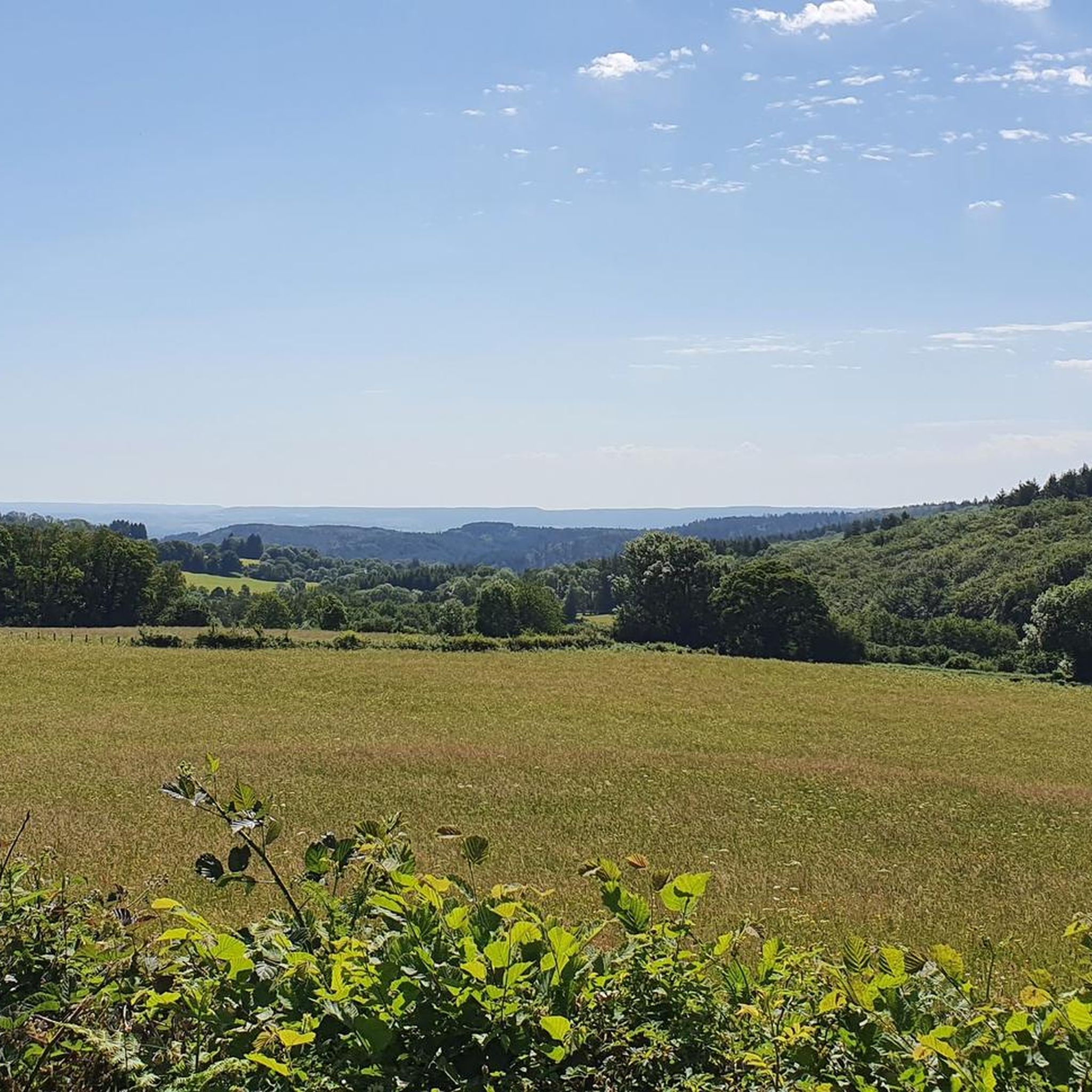
Exclave of Menessaire and the highest point of Côte d'Or a little corner of paradise lost in the Morvan
0
0

It looks great to do it this round but right now I can't REALLY SORRY !!!
0
0

The best way to climb the Col Folin is from Arleuf.
2
0

The climb is easy to do, as there are always easy passages in between
3
0

A climb that is generally easy to navigate, initially away from the main road, later on with little traffic on a very good surface!
3
0
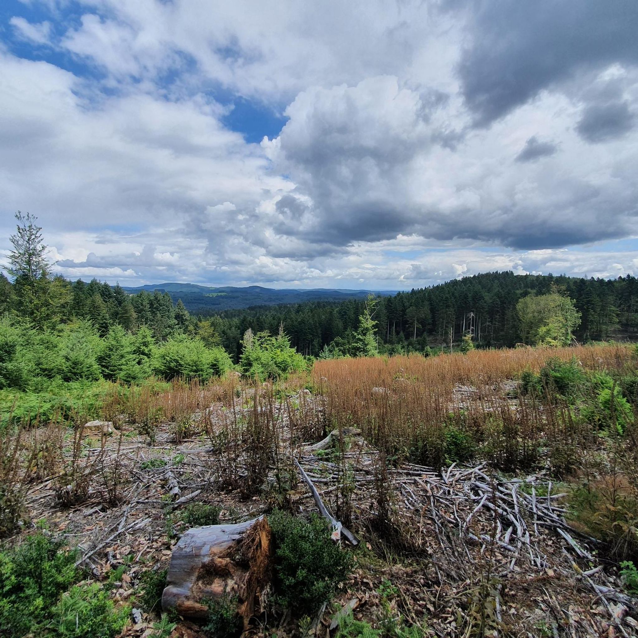
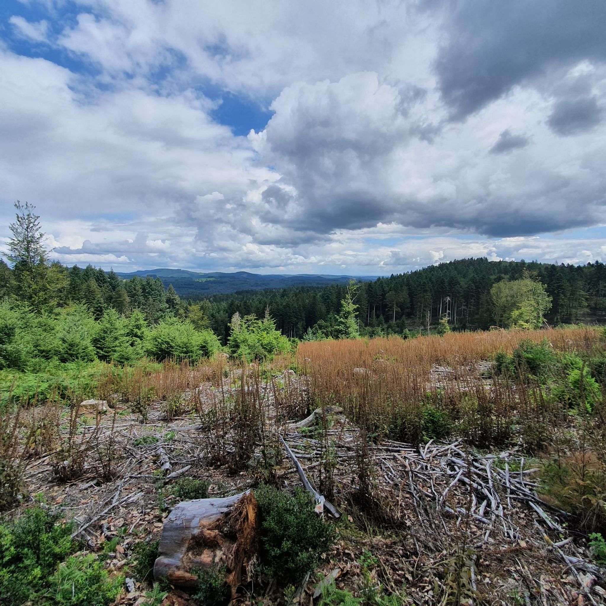
Even for poor climbers, it is quite doable from Arleuf. Haut Folin from Arleuf via Col du Haut Folin is a climb in the Morvan region. The route is 8.3 kilometers long and covers 295 meters of altitude with an average gradient of 3.6%. At the end of Arleuf, you first lose a few meters of altitude before the D500 leads from Arleuf to Fosse with an initially relatively low gradient; at the end of this modest hamlet, the road then climbs in a few bends to the right along a ridge at 6-8% and opens up the view to spectacular views of the Yonne valley. The road then climbs extremely irregularly through dense forest, sometimes at 2%, sometimes at up to 7%, and it is not easy to find a rhythm. After a total of 6 km, you reach a plateau where, apart from a few ramps, the progress is somewhat flatter and faster. After the D179/D500 junction, continue to follow the D500 towards the summit, and here the route becomes a little more ambitious with a gradient of 5-7%, before finally reaching the summit in the middle of a dense mixed forest and thus a mountain classification of the 2nd category.
3
0
Frequently Asked Questions
What makes the mountain passes around Roussillon-en-Morvan worth visiting?
The mountain passes in the Morvan Regional Natural Park, including those near Roussillon-en-Morvan, are highly valued for their scenic beauty, offering panoramic views of diverse landscapes, dense forests, and rolling hills. They provide excellent recreational opportunities for cyclists and hikers, and offer a tranquil escape into nature. The region also has a rich cultural and historical context.
Which mountain passes are popular for cycling in the Morvan Regional Natural Park?
Cyclists frequently visit passes like Haut-Folin Pass, which is the highest in the park at 873 meters and offers a significant climb. Another popular choice is Col de la Croix d'Allye, known for its shaded climbs through woods with an average gradient of 3% over 3 km. Col de la Croix de Chèvre also offers multiple approach routes for varied cycling experiences.
Are there challenging climbs among the mountain passes near Roussillon-en-Morvan?
Yes, the region offers challenging climbs, particularly at Haut-Folin Pass. The climb from Arleuf to Haut-Folin Pass is 8.3 kilometers long, covering 295 meters of altitude with an average gradient of 3.6%, reaching up to 7% in sections. This makes it a popular destination for cyclists seeking a significant ascent.
What kind of views can I expect from the mountain passes in this region?
The passes often provide elevated viewpoints offering panoramic vistas of the picturesque Morvan Regional Natural Park. You can expect to see diverse landscapes including peaceful lakes, dense forests (primarily beech and fir), and rolling hills, especially from higher points like Haut-Folin Pass.
When is the best time of year to visit the mountain passes around Roussillon-en-Morvan?
The Morvan Regional Natural Park is beautiful throughout the year, but the best time to visit for cycling and hiking on the passes is typically from spring to autumn (April to October). During these months, the weather is generally milder and more stable, making outdoor activities more enjoyable. Winter can offer a different, quieter experience, but some routes might be affected by snow or ice.
Are there hiking opportunities near the mountain passes?
Yes, the mountain passes are often integrated into or provide access to numerous hiking trails within the Morvan Regional Natural Park. For example, the area around Haut-Folin Pass is popular with hikers. You can find various routes, including those for mountain biking, in guides like MTB Trails around Roussillon-En-Morvan.
What historical or cultural sites are near the Morvan Regional Natural Park's passes?
The Morvan has a rich history. While the passes themselves may not have direct historical monuments, they are part of a region steeped in history. Notably, the ancient Celtic town of Bibracte on Mont Beuvray is not far from some of these routes, offering a significant cultural and historical context to your visit.
Where can I find routes for mountain biking near these passes?
The Morvan Regional Natural Park offers excellent mountain biking opportunities. You can explore various routes, including challenging ones like the 'Haut-Folin Summit – Saint-Prix loop from Roussillon-en-Morvan' (70 km, difficult), which passes near the highest points. More information and specific routes can be found in the MTB Trails around Roussillon-En-Morvan guide.
What are the typical gradients for climbs on the mountain passes in the Morvan?
The gradients vary, offering diverse experiences. For instance, Col de la Croix d'Allye has an average gradient of 3% over 3 km. The climb to Haut-Folin Pass from Arleuf averages 3.6% over 8.3 km, with sections reaching 6-8%. Col d'en Moulu features an average gradient of 4.4% with maximum gradients of 10%.
Is there parking available at the mountain passes?
While specific parking details for each pass may vary, the Morvan Regional Natural Park is generally well-equipped for visitors. Access points to trails and passes often have designated parking areas. It's advisable to check local signage or specific route descriptions for detailed parking information before your visit.
Are dogs allowed on trails around the mountain passes?
The Morvan Regional Natural Park is generally dog-friendly, allowing dogs on trails, often on a leash. However, it's always best to check specific regulations for protected areas or nature reserves within the park, especially during certain seasons, to ensure compliance and respect for wildlife.
What kind of wildlife might I encounter in the Morvan Regional Natural Park?
The Morvan Regional Natural Park is home to diverse wildlife. You might encounter various bird species, deer, wild boar, and smaller mammals. The dense forests and tranquil environment provide a habitat for many creatures, making it a great place for nature observation, especially in quieter areas around the passes.
Where can I find accommodation or places to eat near the mountain passes?
Roussillon-en-Morvan and the surrounding villages within the Morvan Regional Natural Park offer various accommodation options, from guesthouses to small hotels. You'll also find local cafes and pubs in these villages where you can enjoy regional cuisine and refreshments after exploring the passes.
Most popular routes around Roussillon-En-Morvan
Most popular attractions around Roussillon-En-Morvan

Get inspired with the komoot mobile app


Explore more
See even more epic mountain passes by checking out these guides around Roussillon-En-Morvan:
