The best walks and hikes around Montauban-De-Picardie
4.5
(211)
1,015
hikers
81
hikes
Hiking around Montauban-De-Picardie offers routes through a landscape characterized by agricultural fields, river valleys, and scattered woodlands. The region features gentle elevation changes, making it accessible for various activity levels. Historical sites, including World War I memorials and craters, are integrated into many of the hiking trails, providing points of interest. The terrain is generally flat to gently rolling, with paths often following waterways or traversing open countryside.
Best hiking trails around Montauban-De-Picardie
- The most popular hiking route is Lochnagar…
Last updated: June 26, 2026
3.5
(2)
5
hikers
Moderate hike. Good fitness required. Easily-accessible paths. Suitable for all skill levels.
12
hikers
Moderate hike. Great for any fitness level. Mostly accessible paths. Sure-footedness required.

Sign up for free
5.0
(1)
6
hikers
Easy hike. Great for any fitness level. Easily-accessible paths. Suitable for all skill levels.
4.3
(3)
8
hikers
13.2km
03:32
150m
150m
Moderate hike. Good fitness required. Easily-accessible paths. Suitable for all skill levels.
1
hikers
18.5km
04:56
200m
200m
Moderate hike. Good fitness required. Easily-accessible paths. Suitable for all skill levels.
Get access to more routes and recommendations from other explorers.
Sign up for free
Already have an account?
Our route recommendations are based on thousands of hikes, rides, and runs completed by other people on komoot.
Start today with a free account
Your next adventure awaits.
Login or Signup
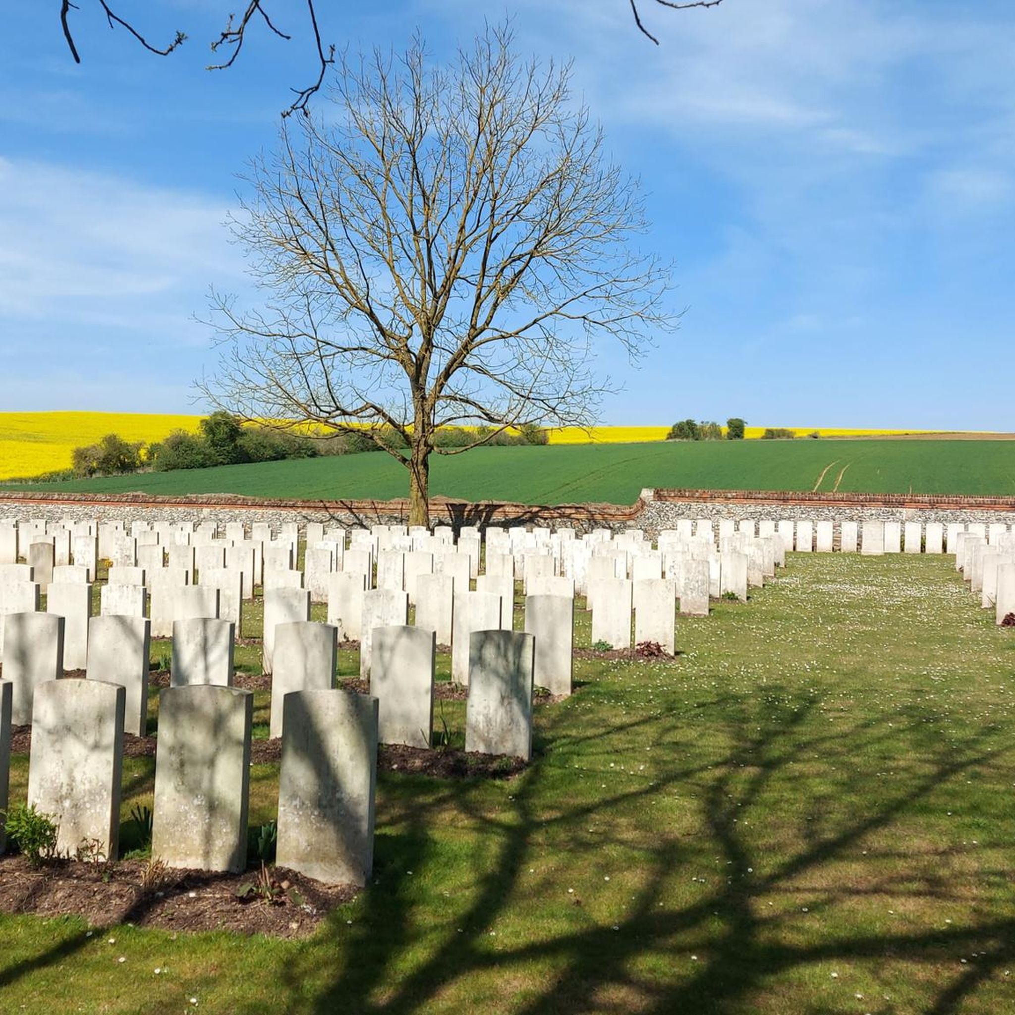
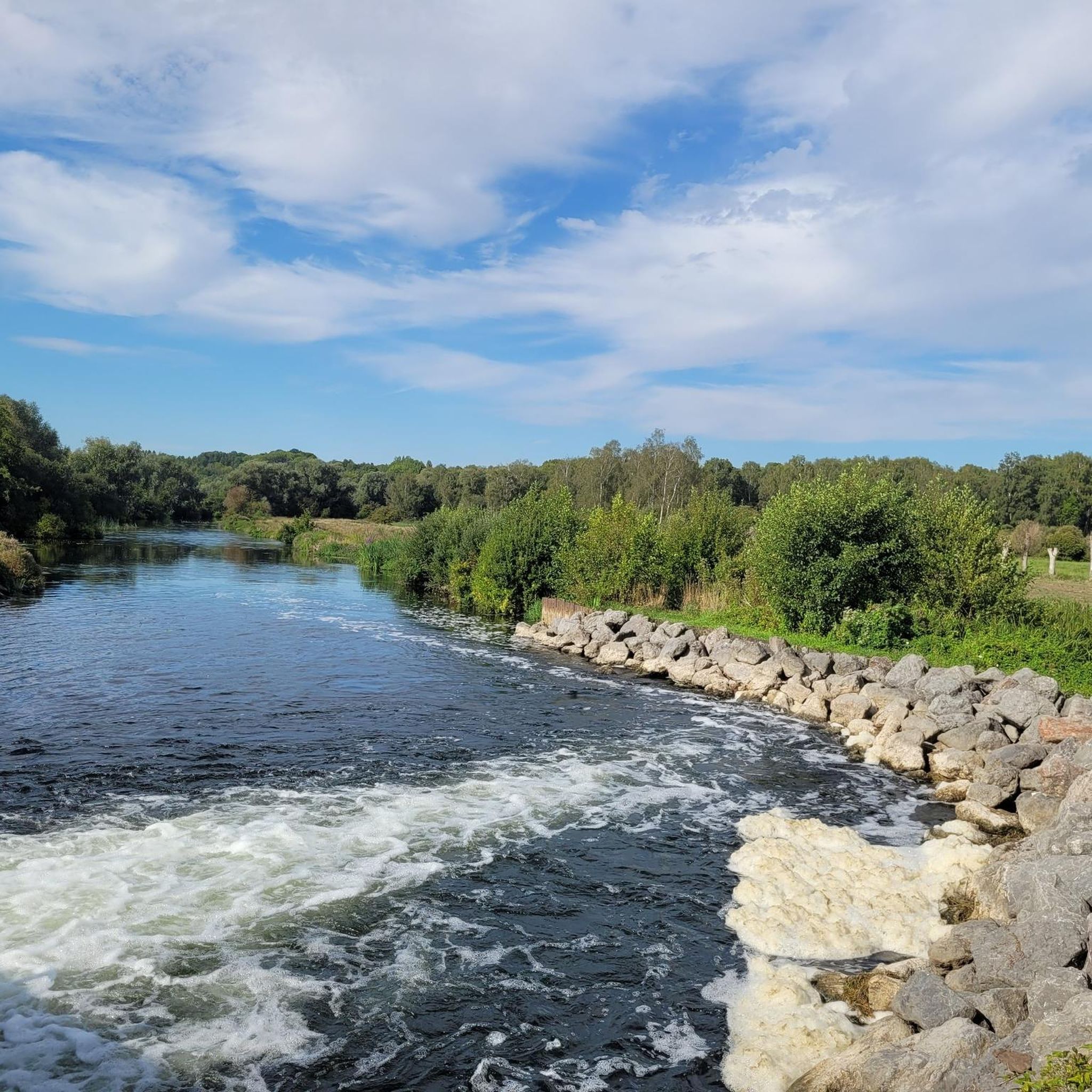

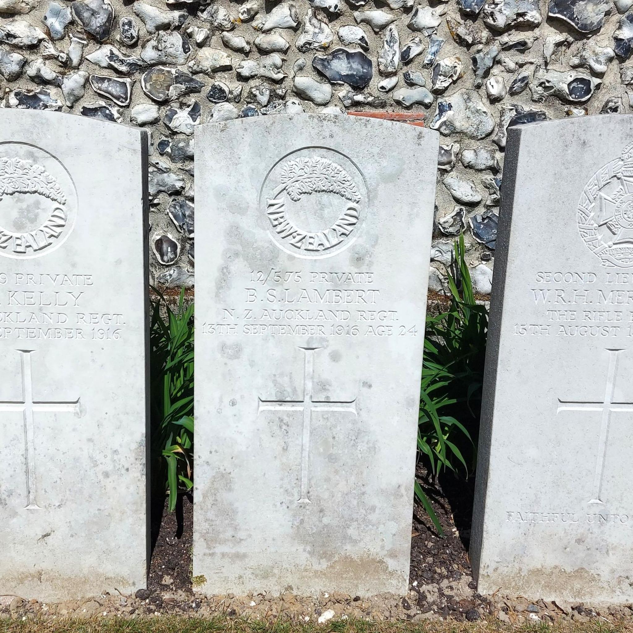

Tips from the Community

Officially part of the Historial de la Grande Guerre, the Thiepval Museum is located near the impressive Thiepval Memorial and offers an in-depth look at the Battle of the Somme of 1916. Opened in 2016 to mark the centenary of this bloody battle, the museum comprises seven thematic areas, each highlighting a different aspect of the war. One of the highlights is the 60-metre-long panoramic comic strip by artist Joe Sacco, which vividly depicts the events of 1 July 1916. Visitors will gain insight not only into the military strategies, but also into the human suffering and the culture of remembrance surrounding the missing of the Somme.
5
0
The Tour d'Ulster, also known as the Helen Tower or Tour de Belfast, is a British war memorial. It was built in 1921 to commemorate the soldiers of the 36th Ulster Division who died during the Battle of the Somme in World War I. The tower is a replica of a neo-Gothic tower in Clandeboye Park, near Belfast, where the 36th Division trained. An interesting anecdote is that the 36th Ulster Division was the first to attack during the Battle of the Somme on 1 July 1916, but suffered heavy losses from both German and British artillery fire. The division lost over 5,500 men in just a few hours. The Tour d'Ulster has a cafeteria where you can enjoy a cup of tea, scones or Tayto chips, a specialty from Northern Ireland. It is a nice place to relax.
6
0
The Cratère de Lochnagar, an impressive war memorial, was created by a huge mine blown up by the British Royal Engineers on 1 July 1916, as part of the Battle of the Somme. The explosion marked the beginning of the battle and left a crater 90 metres in diameter and 25 metres deep. Interestingly, the crater was named after Lochnagar Street, the trench from which the tunnel was dug. The crater is now a preserved site of remembrance and a religious service is held there every year on 1 July in memory of those who died.
8
0
An interesting anecdote is that the monument was inaugurated in 1932 by the Prince of Wales and the French President Albert Lebrun. The monument consists of a series of arches supported by sixteen massive square pillars, on which the names of the missing soldiers are engraved. At the foot of the monument is a Franco-British military cemetery with 600 graves: 300 French and 300 British soldiers.
6
0
The Parc Mémorial de Thiepval is an impressive war memorial that commemorates the 72,337 missing British and South African soldiers who died during the Battle of the Somme in World War I. Designed by Sir Edwin Lutyens, the memorial is considered one of the greatest British monumental works of the twentieth century. The park also includes a visitor centre, opened in 2004, and the Jardins de la Paix, where visitors can reflect and enjoy the serene surroundings. Every year on 1 July, remembrance ceremonies are held to honour the victims of the Battle of the Somme.
8
0
Tour d'Ulster has a cafeteria where you can enjoy a cup of tea, scones or Tayto chips, a specialty from Northern Ireland. It is a nice place to relax for a while.
1
0
The Tour d'Ulster, also known as the Helen Tower or Tour de Belfast, is a British war memorial. It was built in 1921 to commemorate the soldiers of the 36th Ulster Division who died during the Battle of the Somme in World War I. The tower is a replica of a neo-Gothic tower in Clandeboye Park, near Belfast, where the 36th Division trained. An interesting anecdote is that the 36th Ulster Division was the first to attack during the Battle of the Somme on 1 July 1916, but suffered heavy casualties from both German and British artillery fire. The division lost over 5,500 men in just a few hours.
1
0

Frequently Asked Questions
How many hiking trails are available in Montauban-De-Picardie?
There are over 75 hiking routes recorded in Montauban-De-Picardie, offering a wide range of options for different skill levels and interests. These include 28 easy routes, 45 moderate routes, and a few more challenging trails.
Are there easy hiking trails suitable for beginners or families?
Yes, Montauban-De-Picardie features many easy trails, with 28 routes specifically categorized as easy. The region's generally flat to gently rolling terrain makes it accessible for beginners and families. Many paths follow river valleys or traverse open countryside, providing pleasant, less strenuous walks.
What kind of terrain can I expect on hikes in Montauban-De-Picardie?
The terrain in Montauban-De-Picardie is characterized by agricultural fields, river valleys, and scattered woodlands. You can expect gentle elevation changes, with paths often following waterways or traversing open countryside. Many trails also integrate historical sites, such as World War I memorials and craters, into the landscape.
Are there any circular walks in Montauban-De-Picardie?
Yes, many of the trails in Montauban-De-Picardie are designed as loops, allowing you to start and end at the same point. An example is the Bois, the mountain of vaux – Vaux Viewpoint loop from Éclusier-Vaux, which offers scenic views through woodlands.
What historical sites or landmarks can I see along the hiking trails?
Many trails in Montauban-De-Picardie pass by significant historical sites, particularly related to World War I. You can explore places like the Lochnagar Crater, a large mine crater, or the Thiepval Memorial. The Lochnagar crater and German military cemetery of Fricourt — loop from La Boisselle route is a great option for exploring these historical points of interest.
Can I bring my dog on the hiking trails in Montauban-De-Picardie?
Generally, dogs are welcome on many hiking trails in Montauban-De-Picardie, especially on paths through open countryside and woodlands. However, it's always advisable to keep them on a leash, particularly when passing through agricultural areas or near historical sites, and to check local regulations for specific nature reserves or private lands.
What is the best time of year to go hiking in Montauban-De-Picardie?
Spring and autumn are often considered the best times for hiking in Montauban-De-Picardie. During these seasons, the weather is typically mild, and the natural scenery is particularly beautiful, with blooming flowers in spring and vibrant foliage in autumn. Summer can also be pleasant, but it's wise to start early to avoid the midday heat.
Are there any viewpoints or scenic spots along the routes?
Yes, the region offers several scenic viewpoints. For instance, the Vaux Viewpoint provides expansive vistas, and the Frise Viewpoint offers picturesque views over the Somme River. The Frise Lock – Somme River and Dam Viewpoint loop from Curlu is a great route to experience riverine landscapes and viewpoints.
What do other hikers enjoy most about hiking in Montauban-De-Picardie?
The hiking routes in Montauban-De-Picardie are highly rated by the komoot community, with an average score of 4.5 stars from over 180 reviews. Hikers often praise the blend of natural beauty with significant historical sites, the gentle terrain suitable for various abilities, and the peaceful atmosphere of the river valleys and woodlands.
Are there any longer or more challenging hikes available?
While the region is known for its gentle terrain, there are a few longer routes that offer more of a challenge. For example, the La Boisselle Mine Crater – Lochnagar Crater loop from Carnoy-Mametz covers over 13 km (8 miles) and includes more elevation gain, providing a more extended hiking experience.
Is parking generally available at trailheads in Montauban-De-Picardie?
Parking availability varies by trailhead. In smaller villages or near popular historical sites, you can often find designated parking areas. For less frequented routes, roadside parking might be an option. It's always a good idea to check the route details on komoot for specific parking information if available, or to plan your starting point accordingly.
Most popular routes around Montauban-De-Picardie
Most popular attractions around Montauban-De-Picardie

Get inspired with the komoot mobile app


Explore more
Browse the best Hikes in other regions.
