The best running trails around Sierscheid
4.3
(86)
472
runners
54
runs
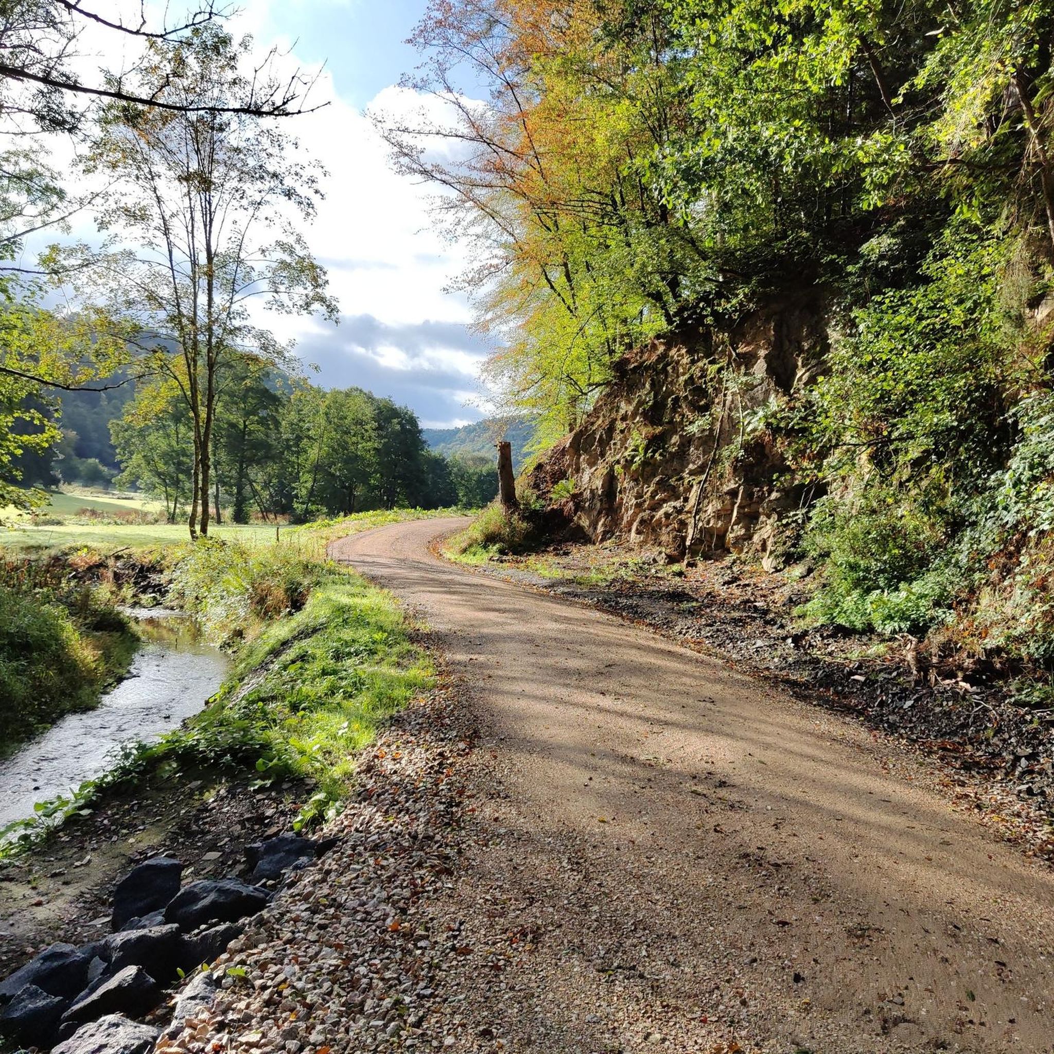
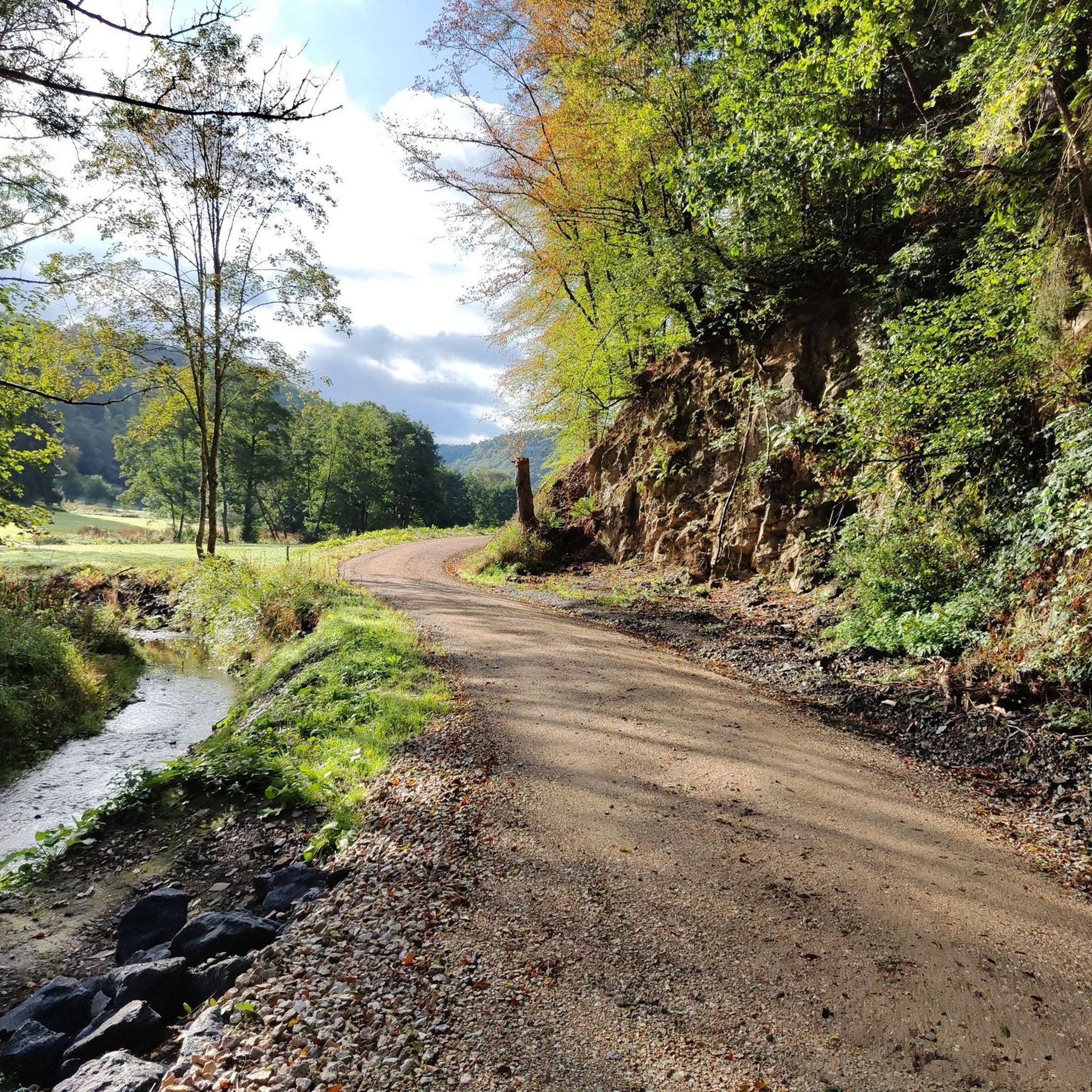
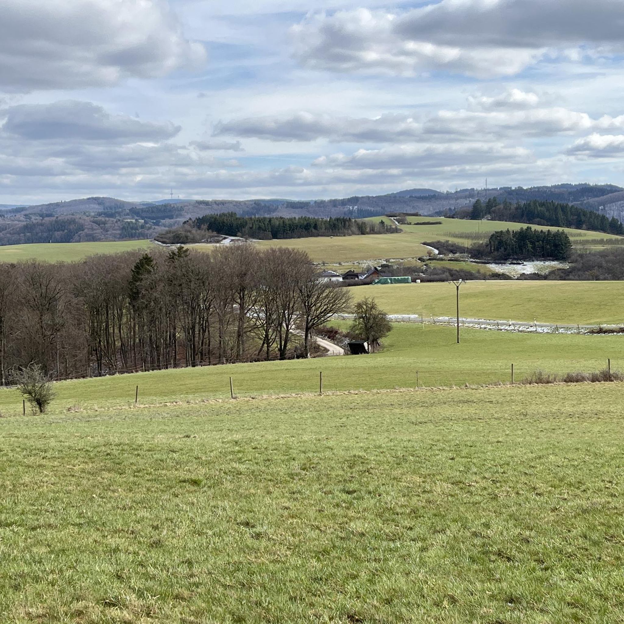
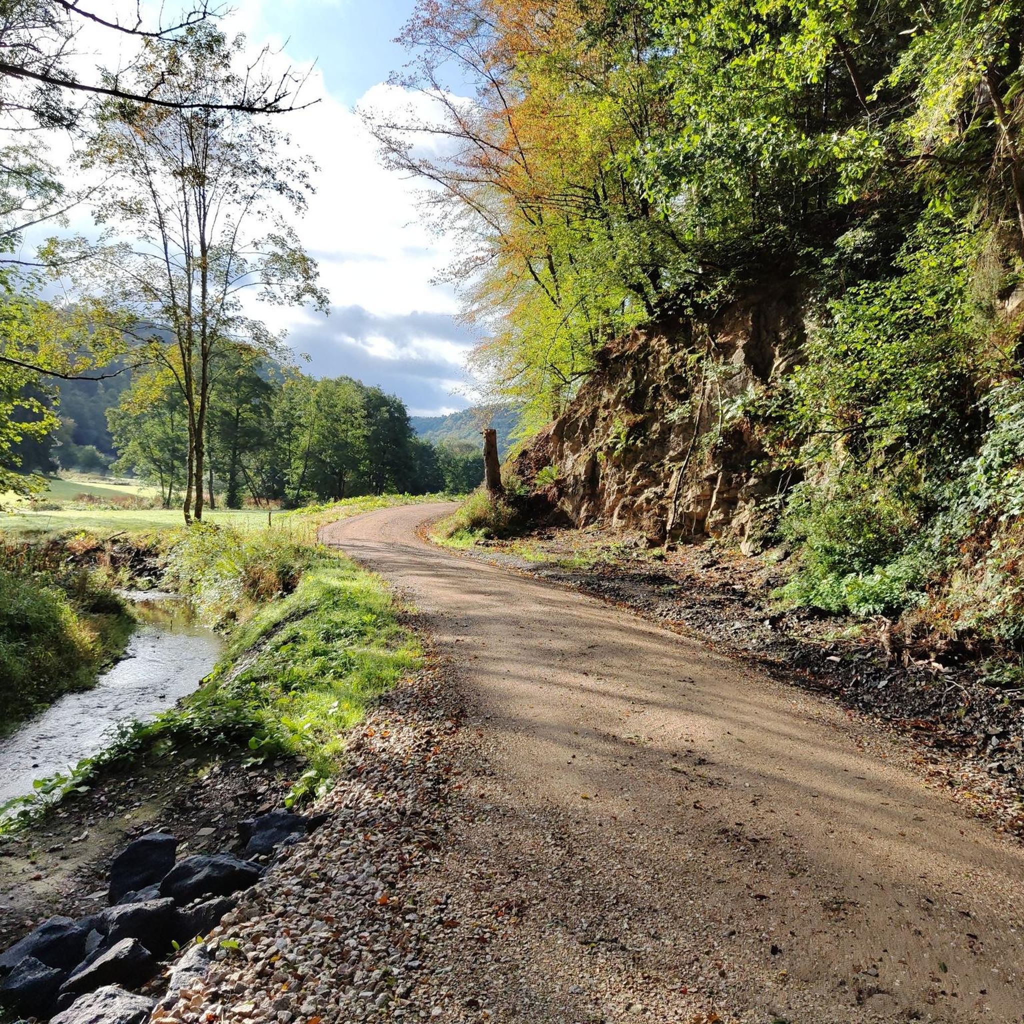
Jogging around Sierscheid offers diverse terrain within the scenic Ahr Valley, characterized by its vineyards, extensive forests, and stream valleys. The region is part of the Eifel natural landscape, providing a mix of gentle paths and more challenging trails with varied elevation. Runners can explore routes that traverse through dense woodlands, open meadows, and alongside the Ahr River, encountering unique rock formations. This area provides a rich natural backdrop for running, catering to different fitness levels.
Best jogging routes around…
Last updated: June 26, 2026
5.0
(2)
20
runners
18.7km
01:58
120m
120m
Hard run. Very good fitness required. Mostly paved surfaces. Suitable for all skill levels.
4.5
(4)
15
runners
18.0km
01:57
170m
170m
Hard run. Very good fitness required. Mostly paved surfaces. Suitable for all skill levels.

Sign up for free
6
runners
15.0km
01:53
380m
380m
Hard run. Very good fitness required. Sure-footedness, sturdy shoes and alpine experience required.
4.1
(13)
10
runners
6.90km
00:43
50m
50m
Moderate run. Good fitness required. Mostly paved surfaces. Suitable for all skill levels.
4
runners
33.3km
04:01
860m
860m
Hard run. Very good fitness required. Sure-footedness, sturdy shoes and alpine experience required.
Get access to more routes and recommendations from other explorers.
Sign up for free
Already have an account?
Our route recommendations are based on thousands of hikes, rides, and runs completed by other people on komoot.
Start today with a free account
Your next adventure awaits.
Login or Signup
Tips from the Community

What can I say, at Sabine's you can simply drink and eat well and, above all, enjoy the great view on the Ahr.
1
0

I've ridden the Panorama Weg for the second time now and am always thrilled by the view, the route, and the surface. The best time is of course from spring to autumn and it's safest during the week, because there are fewer users around then.
0
0

The circular route over/at Hengstberg is very beautiful. We have already hiked this path. Unfortunately, on some of the marked paths, there are no longer any paths. Cross-country and through the Uterholz. Use the indicated farm tracks. Up there is also a memorial stone "fallen girls", whatever that may mean. I already reported the missing paths to Komoot months ago... apparently they are still indicated as usable. Not even passable with an E-MTB! Definitely take a GPS with you and check more often at summit height. Also use farm tracks on the descent. Have fun hiking Pemo Frau and dog
0
0

In the prayer of the day for the feast of the "Annunciation of the Lord", as this feast, mostly referred to as "Annunciation of Mary" in popular piety, is liturgically correctly designated as the patronage of this church, it says: »God, you are great and incomprehensible. According to your will, your eternal word became human in the womb of the Virgin Mary. We faithfully confess that our Savior is true God and true man. Make us worthy to share in his divine life.«
0
0
And in the highlight it is not the high eight
1
0

If you stay in Altenahr you can hear the beautiful bells.
1
0

Nice change on the cycle path along the Ahr
0
0
Frequently Asked Questions
How many running routes are available around Sierscheid?
There are nearly 60 diverse running routes around Sierscheid, offering a wide range of options for all fitness levels. The komoot community has explored these trails over 400 times, highlighting the area's popularity for outdoor activities.
What types of landscapes can I expect while jogging near Sierscheid?
Jogging around Sierscheid offers a rich variety of landscapes within the scenic Ahr Valley. You'll find routes winding through extensive forests, alongside the Ahr River, and past picturesque vineyards. The region is part of the Eifel natural landscape, characterized by diverse forest types, stream valleys, and unique rock formations, providing a dynamic and visually stimulating running environment.
Are there running routes suitable for beginners or those looking for an easy jog?
Yes, Sierscheid offers several easy running routes. For instance, the St. Kunibert Parish Church – Brunnenhaus Hönningen loop from Hönningen is an easy 4.5 km (2.8 miles) path, perfect for a relaxed run. Overall, there are 5 easy routes available in the area.
What do other runners enjoy most about the trails in Sierscheid?
The running trails in Sierscheid are highly regarded by the komoot community, boasting an average rating of 4.4 out of 5 stars from over 80 reviews. Runners frequently praise the diverse terrain, the scenic beauty of the Ahr Valley, and the well-maintained paths that cater to various ability levels.
Are there any challenging running routes with significant elevation changes?
Absolutely. For those seeking a more strenuous workout, Sierscheid offers 20 difficult running routes. The region's location within the Eifel natural landscape means you can find trails that traverse 'Ahrhöhen' (Ahr heights) and offer significant climbs, such as those leading towards the Hohe Acht, the highest elevation in the Eifel, providing rewarding views.
Can I find circular running routes around Sierscheid?
Yes, many of the running routes around Sierscheid are circular, allowing you to start and finish at the same point. A popular example is the Pützfeld Chapel – Katharinenkapelle Ahrbrück loop from Hönningen, a moderate 9.6 km (6.0 miles) path that winds through the landscape and connects historical chapels.
What natural features or landmarks can I see along the running paths?
The running paths around Sierscheid are rich with natural beauty and interesting landmarks. You might encounter dramatic rock formations like the Devil's Hole near Altenahr, or enjoy panoramic views from vantage points such as the Altenahrer Eck. Some routes also pass by historical sites like the Wensburg Castle Ruin, blending nature with cultural elements.
Are there any running routes that follow the Ahr River?
Yes, the Ahr River is a prominent feature of the region, and several running routes follow its course. A notable option is the Ahr River – Teufelsley loop from Dümpelfeld, a 6.9 km (4.3 miles) trail that leads through the Ahr River valley and past the impressive Teufelsley rock formation.
Are dogs allowed on the running trails in Sierscheid?
Generally, dogs are welcome on most running trails in the Sierscheid region, especially in the natural landscapes and forests. However, it's always recommended to keep your dog on a leash, particularly in nature reserves, near wildlife, or when passing through vineyards, to ensure the safety and enjoyment of all trail users and local fauna.
Are there any viewpoints along the running routes that offer scenic panoramas?
Yes, the Sierscheid area is known for its stunning viewpoints. The Bergkuppe Dümpelhardt offers a barrier-free path with spectacular panoramic views into the Ahr Valley, towards Aremberg, and the Nürburg. Other notable viewpoints include the View from Schrock and the View of Are Castle from the Nückelchen Pavilion, providing excellent spots to pause and enjoy the scenery during your run.
What is the longest running route available in the Sierscheid area?
For those looking for a longer run, the Ahr River Ford – Insul Tunnel loop from Schuld is a challenging 19.0 km (11.8 miles) trail. This route follows the Ahr River, offering extensive views of the valley and surrounding natural features, and typically takes over two hours to complete.
Most popular routes around Sierscheid
Most popular attractions around Sierscheid

Get inspired with the komoot mobile app


Explore more
Browse the best Running Trails & Routes in other regions.
