The best road cycling routes around Sierscheid
4.6
(211)
3,123
riders
137
rides
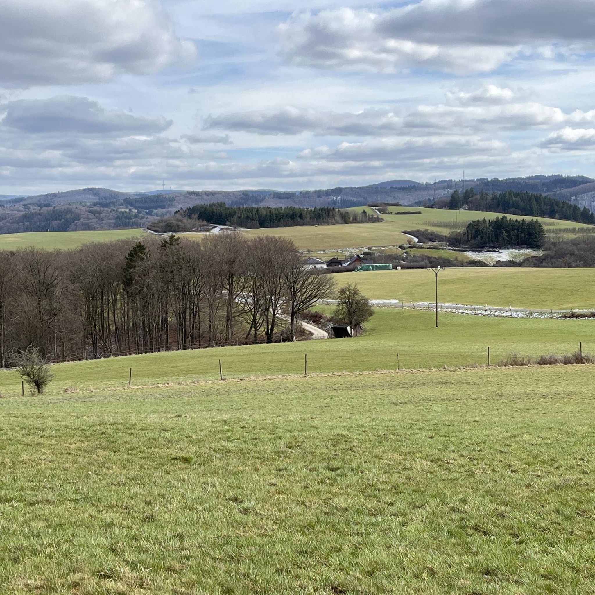
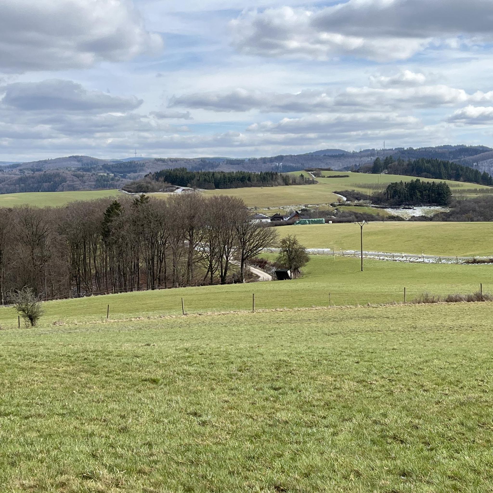
Road cycling routes around Sierscheid navigate a landscape characterized by river valleys, rolling hills, and scenic roads. The region features varied terrain, including stretches along the Ahr River and through areas with historical mining connections. Road cyclists can expect routes that traverse open countryside and pass through small villages. The elevation profiles indicate a mix of gentle gradients and more sustained climbs, suitable for different fitness levels.
Best road cycling routes around Sierscheid
- The most popular road cycling route is…
Last updated: November 1, 2026
4.2
(6)
54
riders
33.1km
01:34
420m
420m
Moderate road ride. Good fitness required. Mostly well-paved surfaces and easy to ride.
19
riders
50.7km
02:15
430m
430m
Moderate road ride. Good fitness required. Some segments of this route may be unpaved and difficult to ride.

4.5
(2)
23
riders
32.5km
01:31
360m
360m
Moderate road ride. Good fitness required. Some segments of this route may be unpaved and difficult to ride.
17
riders
65.6km
03:07
770m
770m
Moderate road ride. Good fitness required. Some segments of this route may be unpaved and difficult to ride.
14
riders
60.1km
03:04
990m
990m
Hard road ride. Very good fitness required. Some segments of this route may be unpaved and difficult to ride.
Get access to more routes and recommendations from other explorers.
Already have an account?
Our route recommendations are based on thousands of hikes, rides, and runs completed by other people on komoot.
Start today with a free account
Your next adventure awaits.
Tips from the Community

The historical origins of the castle are obscure, which is due on the one hand to the fact that no excavations have been carried out so far, and on the other hand, a confusion with Blankenheim Castle in documentary mentions cannot be ruled out. A first mention in a deed of donation from 1272 is therefore considered controversial for this castle. Rather, a document from 1341 is regarded as the oldest source for the castle, in which Margrave Wilhelm I of Jülich transferred "sine nuwe burch Blankenheym" to Gerhard V of Blankenheim as an hereditary fief. From then on, the castle (predominantly as a fief) remained in the possession of the Lords of Blankenheim and was administered, among others, by Friedrich von Blankenheim. In 1470, after several changes of ownership and inheritance disputes, the County of Blankenheim passed to Count Dietrich III of Manderscheid, while the castle was transferred to the Lords of Mirbach in the meantime. In 1521, Dietrich von Mirbach described Neublankenheim Castle as "destroyed" and asked his liege lord, Count Johann von Manderscheid, for help with the reconstruction. In the following years, the castle (apparently, no secure source findings) was not rebuilt due to its secluded location and the resulting lack of strategic importance. Around 1770, Duke Karl Maria Raimund von Arenberg acquired surrounding lands and also the castle ruins, so that the estate passed to the Duchy of Arenberg. After the occupation of the left-bank territories of the Rhine in 1794 by French revolutionary troops, the possessions of the Duchy of Arenberg also passed to the French state due to the provisions of the Peace of Lunéville. Neublankenheim Castle was auctioned and was subsequently in private ownership. The current owner is the Vulkaneifel district (formerly Daun district). Source: Wikipedia
4
0

Beautiful cycle path along the Ahr
0
0

The picturesque row of historic half-timbered houses on the market square of Adenau is considered the town's landmark
3
0

Good condition of the path. Together with the cycle path from Wasserscheide to Eicherscheid, it is a very good option to connect the Ahr and Erft rivers, naturally with the corresponding altitude meters.
0
0

This is not St. Catherine's Chapel, but the Pilgrimage Chapel of the Nativity of Mary!!
0
0

The 17th-century castle in Burgsahr is an impressive structure built of natural stone. This cultural monument is now privately owned.
0
0

Trains have been running here again since December 14, 2024, and the line was also electrified during the reconstruction.
1
0

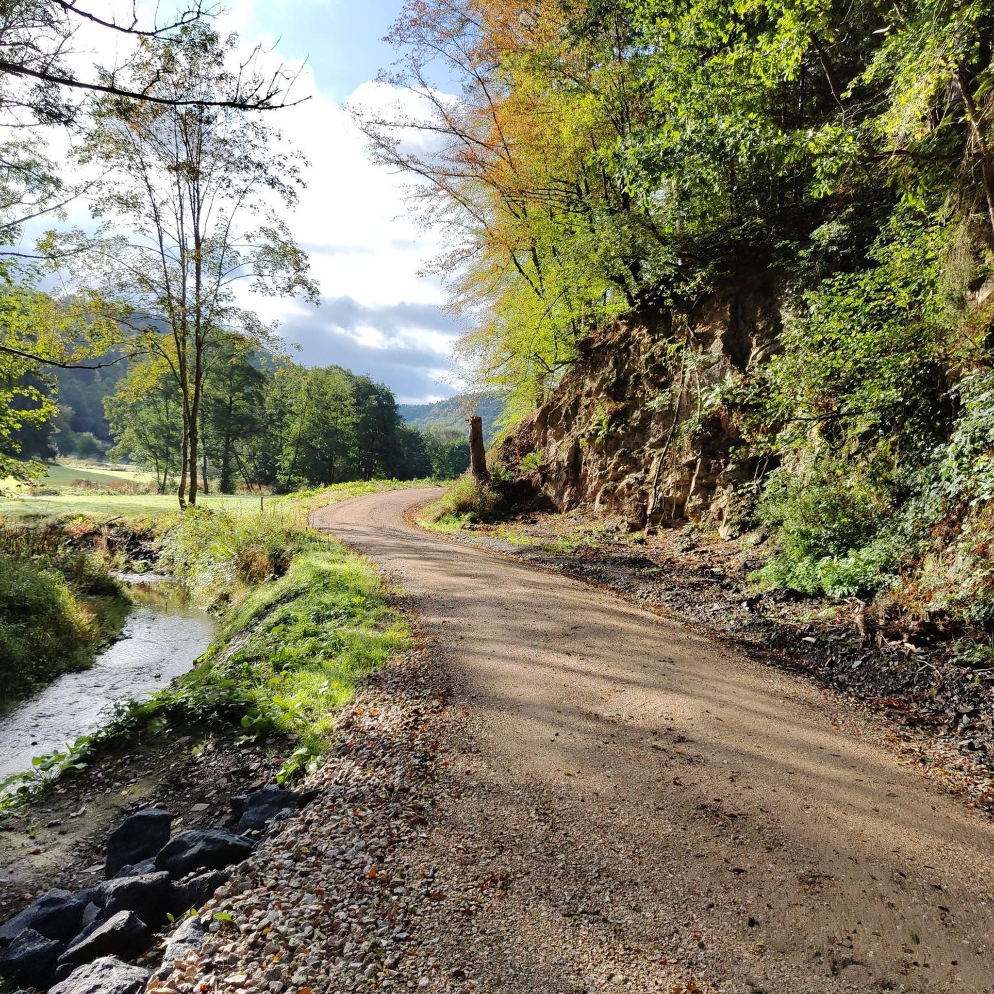
I immediately fell in love with this highlight. A fantastic valley road, fairly fresh ground, little traffic, lots of greenery, a few beautiful curves, a gentle downhill towards Altenahr, perfect for picking up the pace.
1
0
Frequently Asked Questions
How many road cycling routes are available around Sierscheid?
There are over 150 road cycling routes available around Sierscheid, offering a wide range of options for different skill levels and preferences. The region's diverse landscape, characterized by river valleys and rolling hills, provides varied terrain for cyclists.
Are there easy road cycling routes suitable for beginners in Sierscheid?
Yes, Sierscheid offers several easy road cycling routes perfect for beginners or those looking for a more relaxed ride. While most routes are moderate, there are at least 7 routes specifically categorized as easy, allowing for a gentle introduction to the region's scenic roads.
What kind of terrain can I expect on road cycling routes in Sierscheid?
Road cycling routes in Sierscheid feature a mix of terrain, including stretches along the Ahr River, through open countryside, and past small villages. You can expect rolling hills with both gentle gradients and more sustained climbs, navigating river valleys and scenic roads.
Are there any long-distance road cycling trails around Sierscheid?
For those seeking longer rides, Sierscheid offers routes that extend over significant distances. For example, the House Stein am Markt – Insul Tunnel loop from Dümpelfeld covers over 65 kilometers, providing a substantial challenge with considerable elevation gain.
What are some notable landmarks or attractions I can see along the road cycling routes?
Many routes offer glimpses of historical and natural attractions. You might pass by sites like the Goldloch Insul Mining Information Site, or cycle through the scenic Sahrbach Valley. Some routes also offer views of structures like the Dümpelfeld Railway Viaduct.
Are there any circular road cycling routes in Sierscheid?
Yes, many of the road cycling routes around Sierscheid are designed as loops, allowing you to start and end in the same location. Examples include the popular View of Burg Kreuzberg – Sahrbach Valley Scenic Road loop from Dümpelfeld and the Goldloch Mine near Insul – Insul Tunnel loop from Insul.
What do other road cyclists enjoy most about the routes in Sierscheid?
The road cycling routes in Sierscheid are highly rated by the komoot community, with an average score of 4.6 stars from over 160 reviews. Cyclists often praise the varied terrain, the scenic river valleys, and the well-maintained roads that make for an enjoyable riding experience.
Where can I find parking for road cycling routes in Sierscheid?
Parking is generally available in the starting villages of the routes, such as Dümpelfeld or Insul. Look for designated public parking areas within these communities, often near town centers or trailheads, to begin your ride.
Are there advanced or challenging road cycling routes for experienced riders?
Absolutely. For experienced riders seeking a challenge, Sierscheid offers nearly 50 difficult road cycling routes. These routes typically feature more significant elevation gains and longer distances, providing a demanding yet rewarding experience through the region's hilly landscape.
What is the best season for road biking in Sierscheid?
The best seasons for road biking in Sierscheid are typically spring, summer, and early autumn. During these months, the weather is generally mild, and the natural scenery is at its most vibrant. Always check local weather forecasts before heading out.
Can I find cafes or places to stop for refreshments along the routes?
While specific cafes are not listed for every route, many road cycling routes in Sierscheid pass through small villages and towns. These communities often have local cafes, bakeries, or restaurants where you can stop for refreshments and a break.
Are there routes that offer views of historical mining areas?
Yes, some routes specifically explore areas with historical mining connections. For instance, the Goldloch Mine near Insul – Insul Tunnel loop from Insul takes you past the Goldloch Mine, offering a glimpse into the region's industrial past.
Most popular routes around Sierscheid
Most popular attractions around Sierscheid

Get inspired with the komoot mobile app


Explore more
Browse the best Road cycling routes in other regions.
