The best running trails around Adenau
4.3
(135)
1,477
runners
127
runs
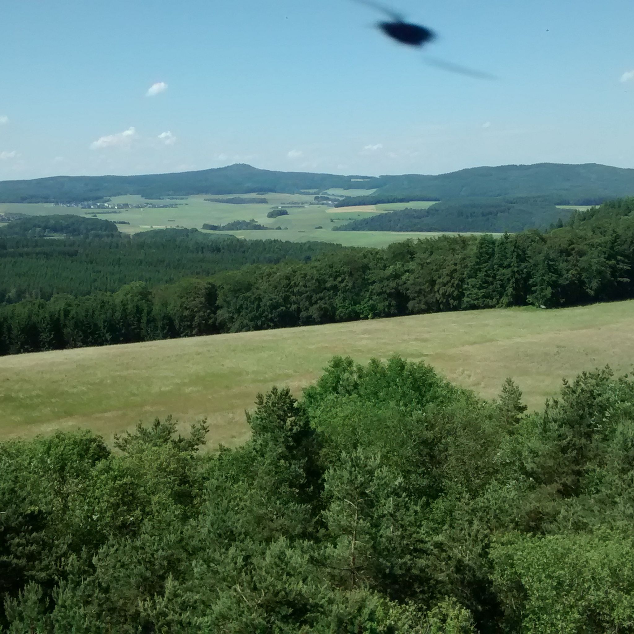
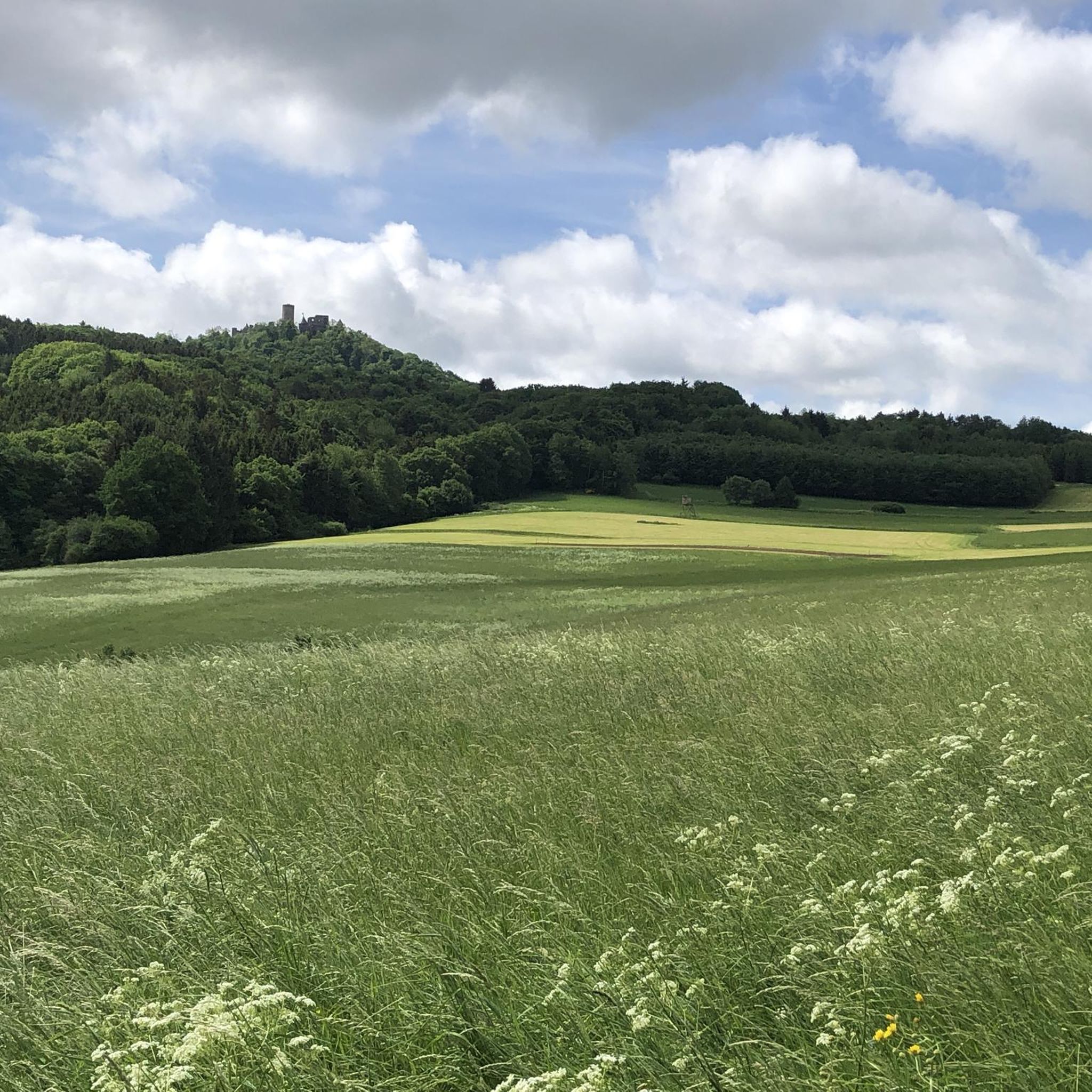
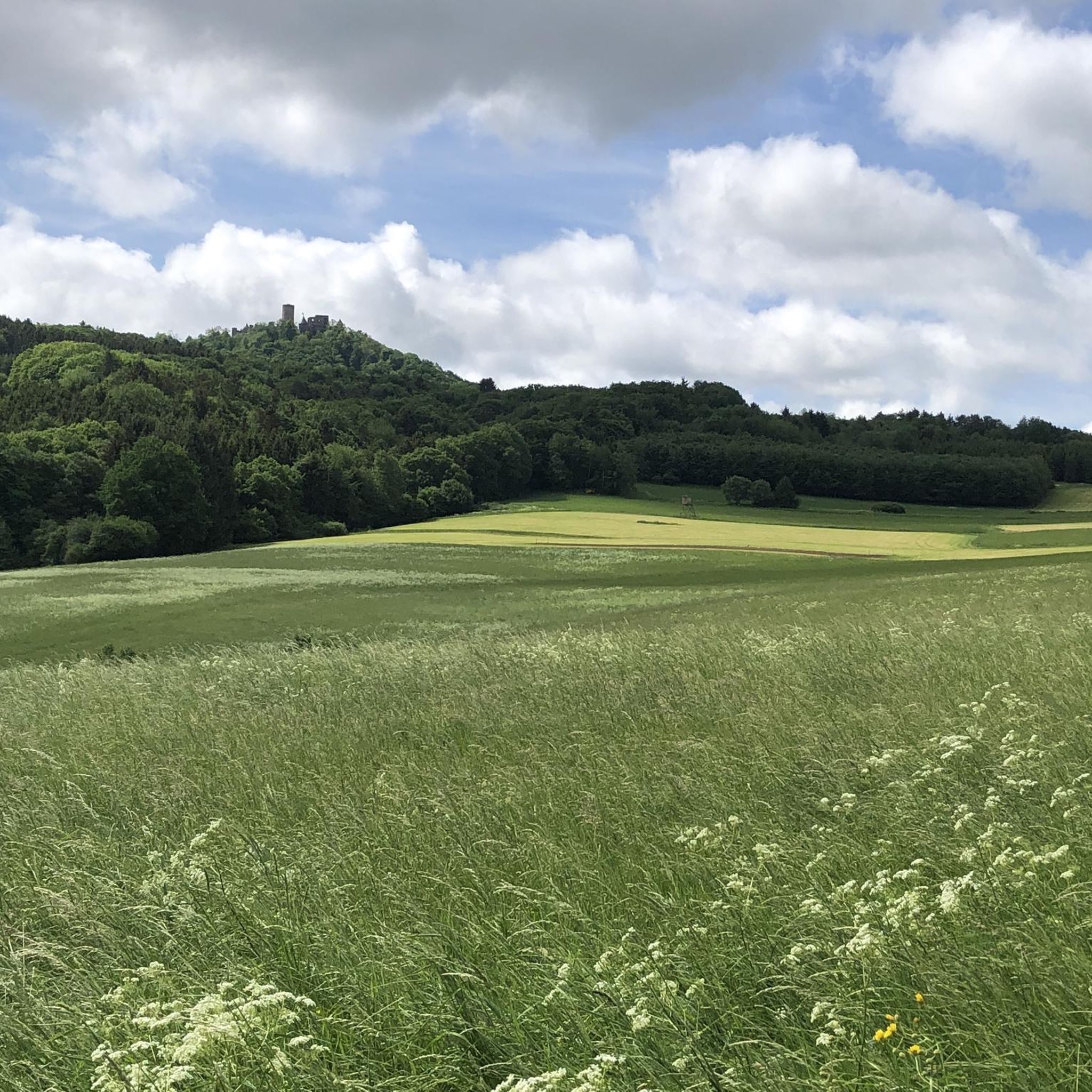
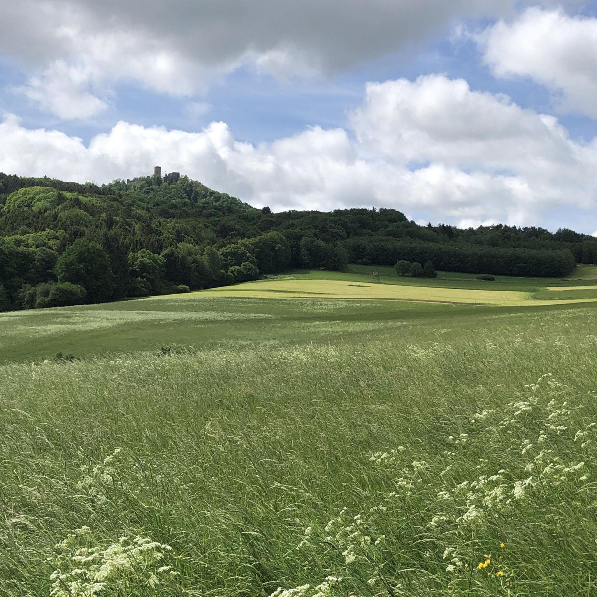
Jogging around Adenau offers diverse natural landscapes in the scenic Rhineland-Palatinate region of Germany. The area is characterized by green hills, dense forests, and the picturesque Ahr River Valley, providing varied terrain for runners. From tranquil riverside paths to more challenging routes with significant elevation gains, the region caters to different fitness levels. The landscape also features rugged cliffs and gentle meadows, making it an appealing destination for outdoor activities.
Best jogging routes around Adenau
- The most popular jogging route is Atemberg Section, Nordschleife – Hohe Acht Summit loop from Herresbach, a 14.3 miles (23.0 km) trail that takes 2 hours 48 minutes to complete. This difficult route offers panoramic views around the Hohe Acht summit.
- Another top favourite among local runners is View of Nürburg Castle – Wehrseifen Corner, Nürburgring loop from Adenau, a difficult 8.6 miles (13.8 km) path. This route provides scenic views of Nürburg Castle and the Nürburgring area.
- Local runners also love the Running loop from Wimbach, a 2.9 miles (4.7 km) trail leading through local woodlands, often completed in about 31 minutes.
- Jogging around Adenau is defined by green hills, dense forests, and the scenic Ahr River Valley. The network offers options for different ability levels, from easy loops to more challenging routes with elevation.
- The routes in Adenau are highly rated by the komoot community with an average score of 4.4 stars from over 100 reviews. More than 1000 runners have used komoot to explore Adenau's varied terrain.
Last updated: September 29, 2026
5.0
(2)
16
runners
13.3km
01:35
360m
360m
Hard run. Very good fitness required. Sure-footedness, sturdy shoes and alpine experience required.
4.6
(14)
13
runners
4.75km
00:31
70m
70m
Easy run. Great for any fitness level. Mostly paved surfaces. Suitable for all skill levels.

3.0
(1)
7
runners
7.80km
00:56
210m
220m
Moderate run. Good fitness required. Mostly paved surfaces. Suitable for all skill levels.
5.0
(1)
4
runners
29.7km
03:08
230m
230m
Hard run. Very good fitness required. Mostly paved surfaces. Suitable for all skill levels.
4.0
(1)
3
runners
9.77km
01:07
240m
240m
Moderate run. Good fitness required. Mostly paved surfaces. Suitable for all skill levels.
Get access to more routes and recommendations from other explorers.
Already have an account?
Our route recommendations are based on thousands of hikes, rides, and runs completed by other people on komoot.
Start today with a free account
Your next adventure awaits.
Tips from the Community

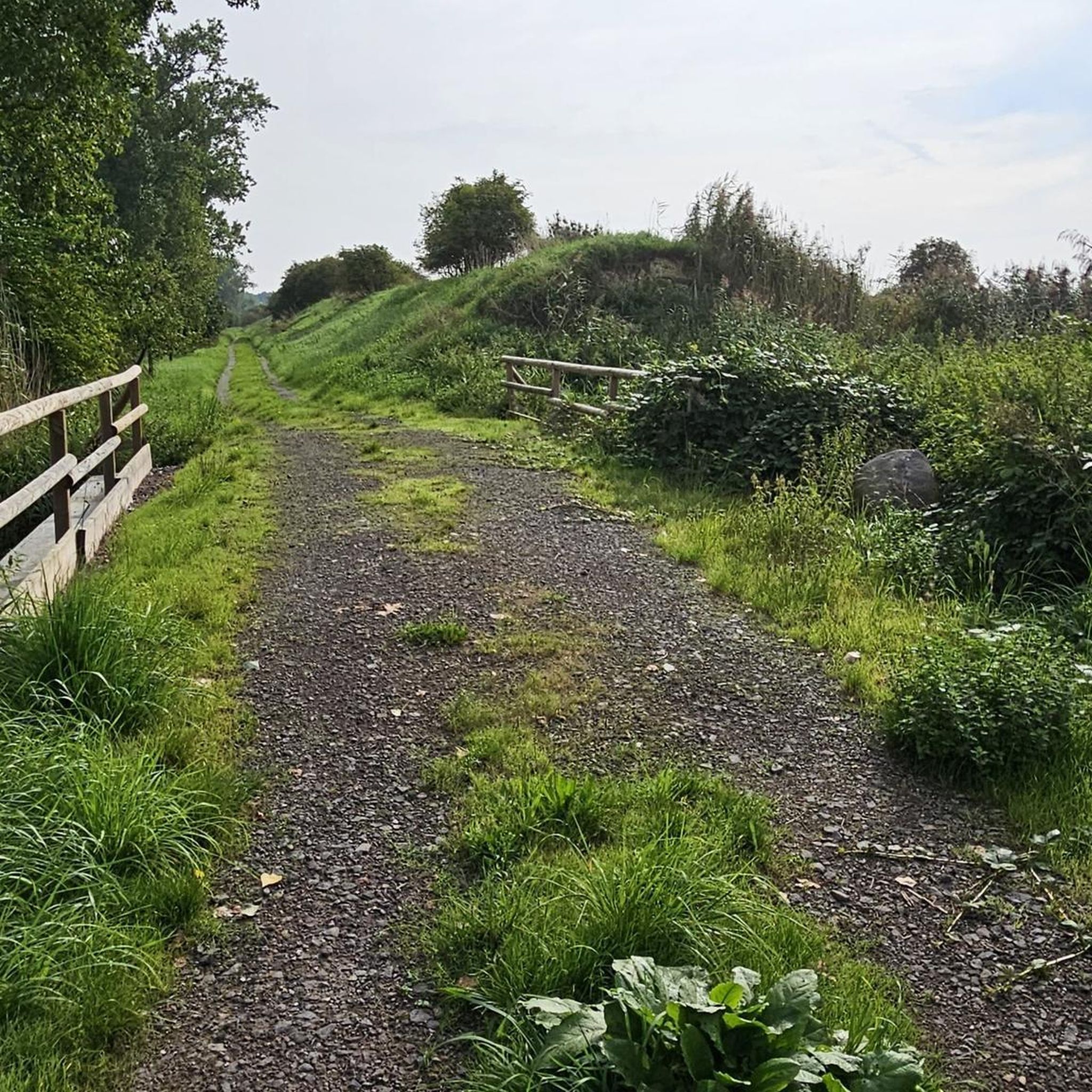
Great cycle path between Dümpelfeld and Liers
2
0

Beautiful statue right in the heart of the historic old town of Adenau at a bus stop.
0
0
Located directly in the historic old town of Adenau, opposite the St. Johannes der Täufer Church. Paid parking spaces are available.
0
0


The combination of the natural environment and the challenge for riders makes Hocheichen an important and popular section of the "Green Hell". 🌍❤️ The name "Hocheichen" comes from the striking oak trees that line the route, giving it a unique, natural atmosphere. 🌲🌿
0
0

The Swedish Cross on the Nürburgring Nordschleife commemorates an event during the Thirty Years' War (1618-1648) in which Swedish soldiers robbed and murdered tax collector Hans Friedrich Datenberg from Adenau at this spot in 1638. The current cross, which replaced an older memorial stone, stands as a reminder of this violent death. The present stone cross, reinforced after being damaged in 1895, is a prominent landmark on the Nordschleife. The "Swedish Cross" section of the racetrack is particularly dangerous. This section also lends its name to the annual RCN race "Swedish Cross."
0
0

A must for motorsport fans, always worth a visit.
2
0

Great area for e-bike riding was fun
0
0
Frequently Asked Questions
How many running routes are available around Adenau?
Adenau offers a wide variety of running routes, with over 120 trails available for you to explore. These routes cater to all fitness levels, from easy jogs to more challenging runs with significant elevation changes.
What kind of terrain can I expect on the running trails in Adenau?
The terrain around Adenau is incredibly diverse, characterized by green hills, dense forests like the Adenauer Forst, and the picturesque Ahr River Valley. You'll find a mix of tranquil riverside paths, rugged cliffs, gentle meadows, and trails through vineyards, providing varied surfaces and scenery for your run.
Are there easy or beginner-friendly jogging routes in Adenau?
Yes, Adenau has several easy routes perfect for beginners or those looking for a relaxed jog. For instance, the Running loop from Wimbach is an easy 2.9-mile trail through local woodlands, often completed in about 30 minutes.
Can I find challenging running trails with significant elevation in the Adenau region?
Absolutely. For experienced runners seeking a challenge, the region offers routes with considerable elevation gain. A prime example is the Atemberg Section, Nordschleife – Hohe Acht Summit loop from Herresbach, a difficult 14.3-mile trail that provides panoramic views around the Hohe Acht summit, the highest elevation in the Eifel.
What interesting landmarks or natural features can I see while jogging around Adenau?
Many routes offer stunning views and pass by notable landmarks. You can jog past the historic Nürburg Castle, enjoy views of the legendary Nürburgring, or even see the Kaiser Wilhelm Tower on the Hohe Acht. Natural features include the scenic Ahr River Valley and the diverse landscapes of the Eifel National Park.
Are there any circular running routes available in Adenau?
Yes, many of the running routes around Adenau are circular, offering convenient starting and ending points. For example, the Running loop from Adenau is a moderate 4.8-mile circular trail that starts and ends directly in Adenau.
What do other runners say about the trails in Adenau?
The running trails in Adenau are highly regarded by the komoot community, boasting an average rating of 4.4 stars from over 100 reviews. Runners frequently praise the diverse landscapes, well-maintained paths, and the variety of routes suitable for different fitness levels.
Are there any routes that offer views of the Nürburgring or Nürburg Castle?
Yes, several routes provide excellent views of these iconic landmarks. The View of Nürburg Castle – Wehrseifen Corner, Nürburgring loop from Adenau is a difficult 8.6-mile path specifically designed to offer scenic views of Nürburg Castle and the Nürburgring area.
Can I find long-distance running trails near Adenau?
The region around Adenau, including parts of the Eifel National Park and the Ahr River Valley, is known for extensive trail networks. While specific long-distance running routes are not listed, the area's numerous hiking trails, such as sections of the 100-kilometer Ahrsteig, can be adapted for longer runs, offering varied terrain and beautiful scenery.
Are there any viewpoints or observation towers along the running routes?
Yes, the region features several points offering panoramic views. The Kaiser Wilhelm Tower on the Hohe Acht provides expansive vistas, and the Boos Eifel Observation Tower is another excellent spot for scenic overlooks, often accessible via nearby trails.
What is the best season for jogging in Adenau?
Adenau's diverse landscape makes it suitable for jogging in various seasons. Spring and autumn offer pleasant temperatures and vibrant scenery with blooming flowers or colorful foliage. Summer is also great, especially for shaded forest trails, while winter can provide unique, tranquil running experiences, though some higher elevation paths might require more caution due to weather conditions.
Are there any routes that pass by natural monuments or unique geological features?
Yes, you can encounter interesting natural formations. For example, the Teufelsley Quartzite Formation is a notable geological feature in the area, and the Volkesfeld Healing Spring offers a unique natural stop, both of which can be incorporated into or found near running routes.
Most popular routes around Adenau
Most popular attractions around Adenau

Get inspired with the komoot mobile app


Explore more
Browse the best Running Trails & Routes in other regions.
