The best walks and hikes around Pontorson
4.3
(1431)
19,655
hikers
53
hikes
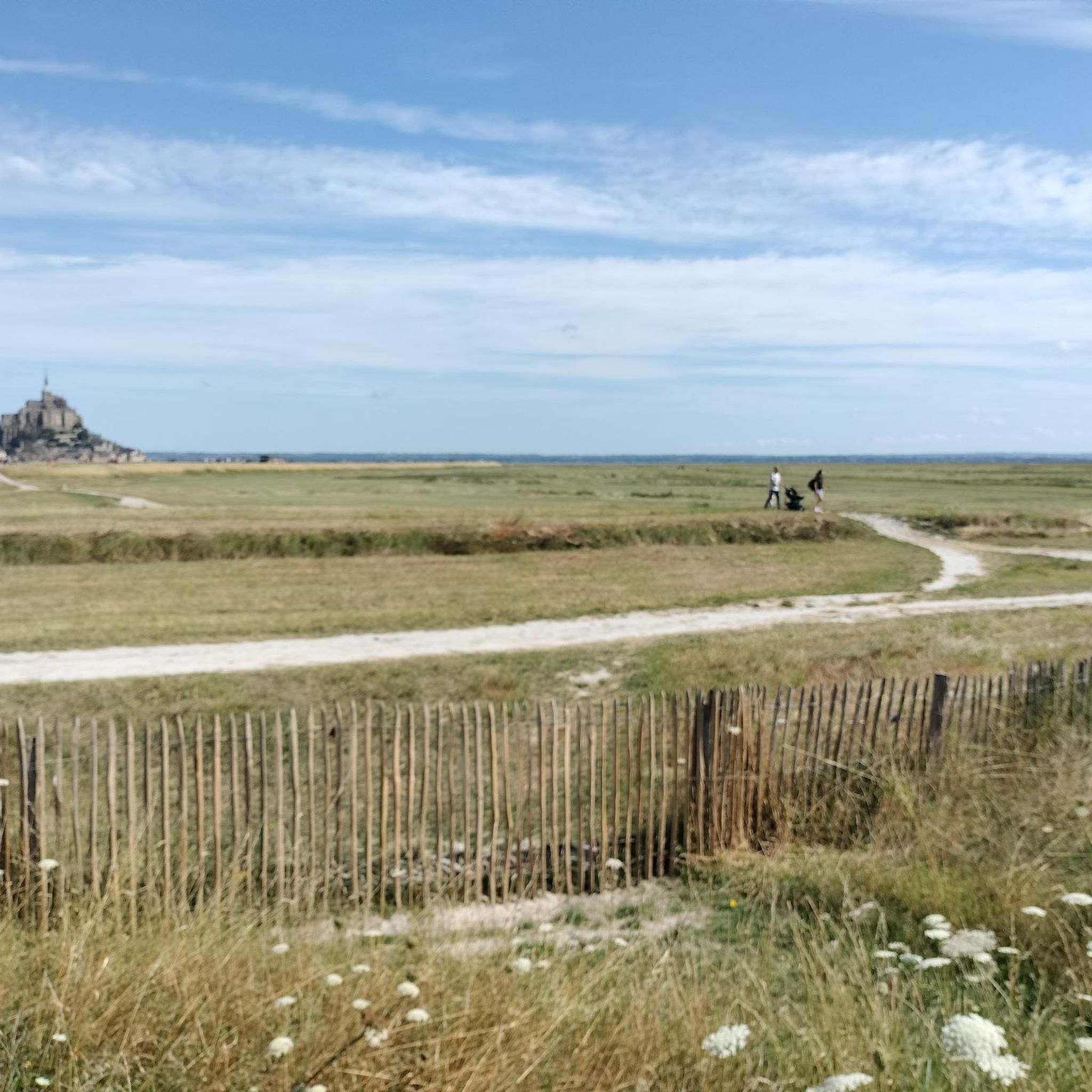
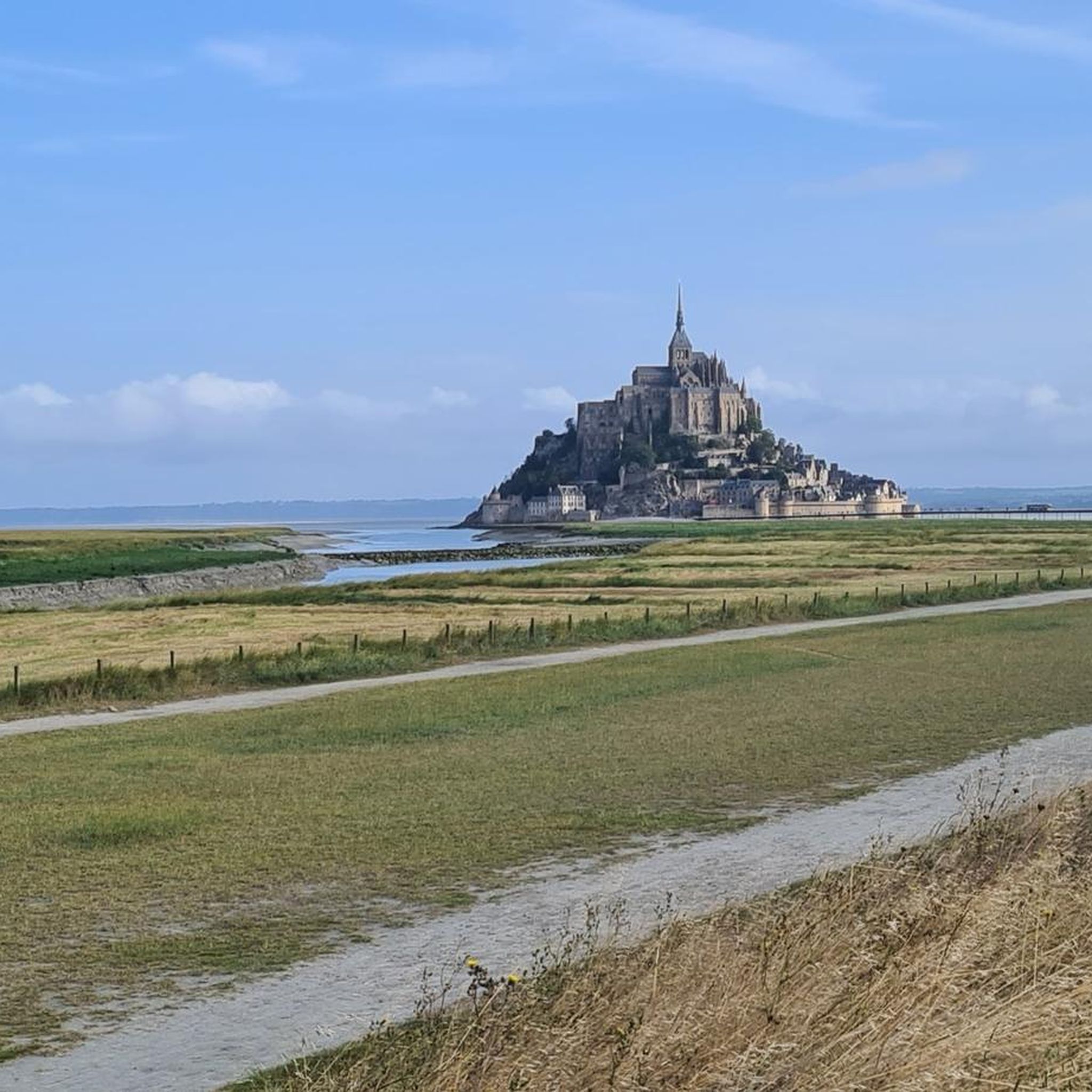
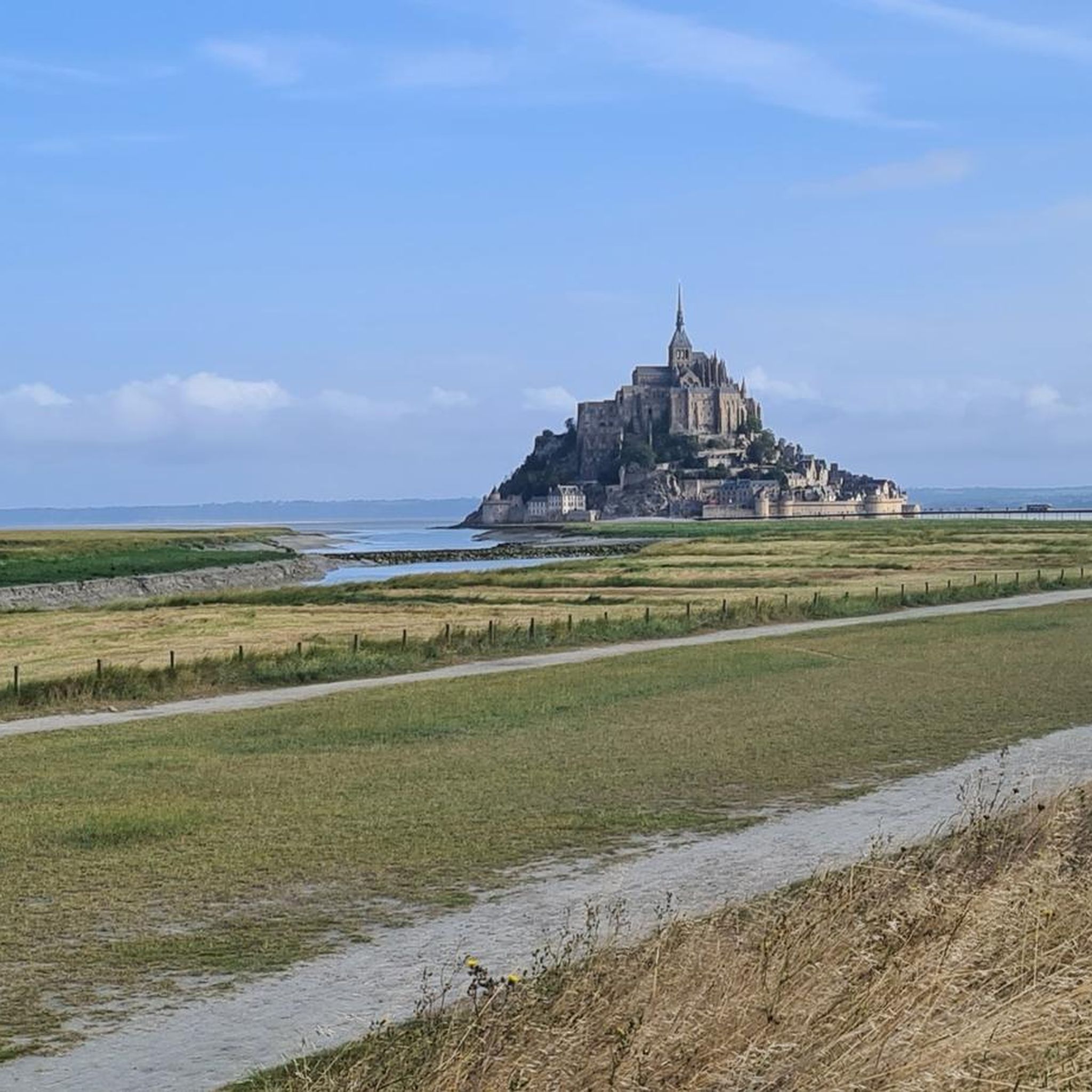
Hiking around Pontorson offers access to diverse landscapes, primarily defined by its proximity to Mont Saint-Michel and the Bay. The region features the Couesnon River, extensive marshlands, and polders, providing varied terrain for outdoor activities. Trails often provide views of the iconic Mont Saint-Michel, with routes ranging from flat riverbanks to paths through agricultural areas.
Best hiking trails around Pontorson
- The most popular hiking route is Mont Saint Michel - Loop in the Bay of Mont Saint Michel, a 4.4 miles (7.1 km) trail that takes 1 hour 48 minutes to complete. This easy loop offers views within the Bay of Mont Saint-Michel.
- Another top favourite among local hikers is The mountain – View of Mont Saint-Michel loop from Beauvoir, an easy 3.8 miles (6.2 km) path. This route provides distinct views of Mont Saint-Michel from the village of Beauvoir.
- Local hikers also love the Le Mont Saint Michel ⛰️ – Kühe am Campingplatz loop from Beauvoir, a 2.8 miles (4.6 km) trail leading through the local landscape, often completed in about 1 hour 9 minutes.
- Hiking around Pontorson is defined by riverine environments, marshlands, polders, and views of Mont Saint-Michel. The network offers options for various ability levels, from easy strolls to moderate explorations.
- The routes in Pontorson are highly rated by the komoot community with an average score of 4.3 stars from over 1400 reviews. More than 20000 hikers have used komoot to explore Pontorson's varied terrain.
Last updated: August 17, 2026
4.7
(596)
8,628
hikers
7.07km
01:49
30m
30m
Easy hike. Great for any fitness level. Easily-accessible paths. Suitable for all skill levels.
4.7
(182)
1,426
hikers
10.8km
02:44
20m
20m
Moderate hike. Good fitness required. Easily-accessible paths. Suitable for all skill levels.

Sign up for free
4.4
(12)
233
hikers
Easy hike. Great for any fitness level. Easily-accessible paths. Suitable for all skill levels.
4.7
(22)
181
hikers
Moderate hike. Good fitness required. Easily-accessible paths. Suitable for all skill levels.
4.8
(17)
196
hikers
6.73km
01:42
10m
10m
Easy hike. Great for any fitness level. Easily-accessible paths. Suitable for all skill levels.
Get access to more routes and recommendations from other explorers.
Sign up for free
Already have an account?
Our route recommendations are based on thousands of hikes, rides, and runs completed by other people on komoot.
Start today with a free account
Your next adventure awaits.
Login or Signup

Other adventures around Pontorson

Tips from the Community

The weir on the river **Couesnon** in front of Mont-Saint-Michel is part of a major project to restore its original island character. It regulates the flow of the Couesnon and helps transport sediment deposited in the bay back out to sea. At the same time, the structure is a popular promenade and viewpoint with an impressive view of Mont-Saint-Michel and the tide-shaped landscape.
35
0
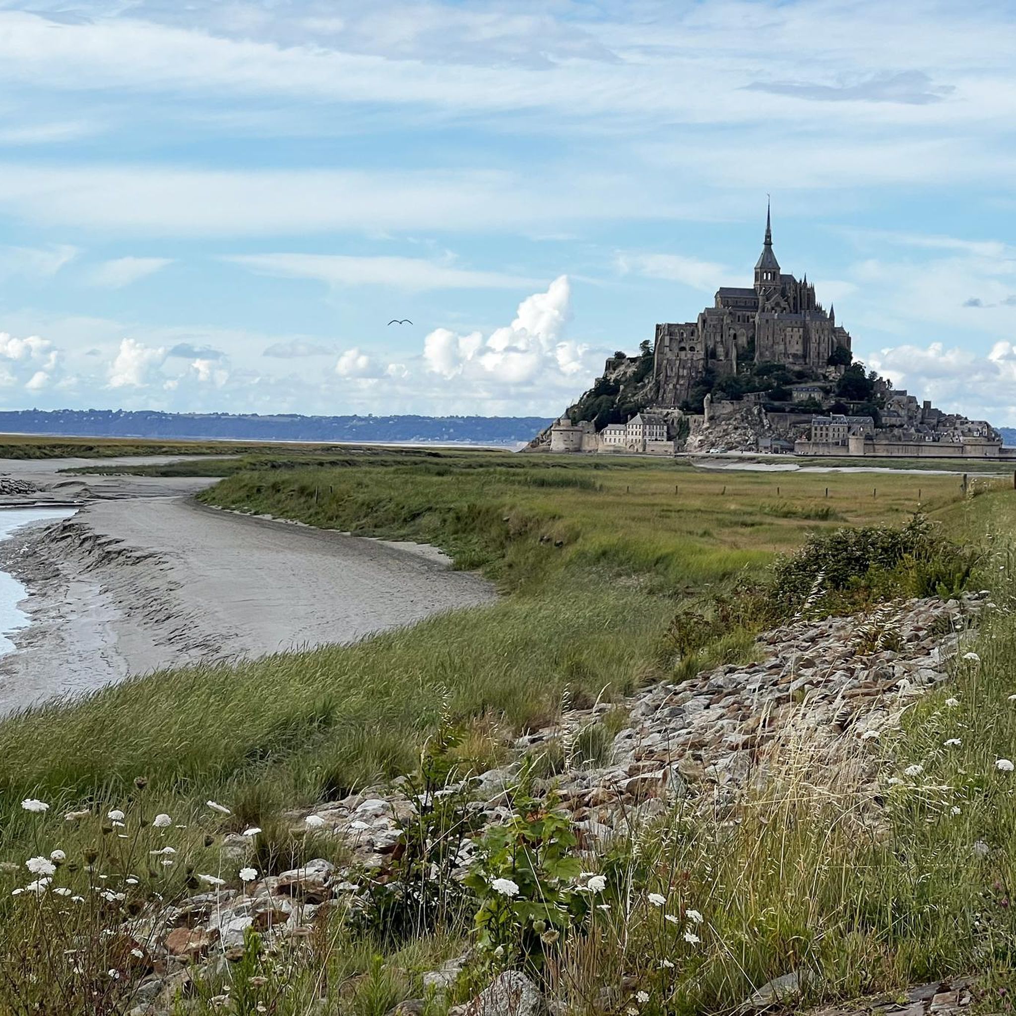
Numerous tidal creeks crisscross the meadows, channeling seawater through the vast area at low and high tide. These small watercourses, with their reflections and wide grassy areas, also form a popular photo spot and offer impressive motifs, especially with Mont-Saint-Michel in the background.
34
0

Great what they had already created back then !!
0
2


Arrive there quite early in the morning, then you will avoid the biggest crowds
1
0
The city walls of Mont Saint-Michel have protected the village since the Middle Ages and are up to 10 meters high. Several defensive towers, such as the Tour du Nord and Tour Gabriel, line the circular route. The Chemin des Remparts offers impressive views over the narrow streets, the abbey, and the expansive bay.
28
0
The Tour du Nord is a mighty defensive tower on the northern edge of Mont Saint-Michel, built in the late 15th century under Charles VIII. It once served as an artillery position and watchtower to protect the abbey hill from attacks during the Hundred Years' War. Today, the tower is part of the Chemin des Remparts, the circular walk along the city walls. From here, you can enjoy impressive views over the bay of Mont Saint-Michel, especially at low tide and sunset. Although the tower is usually closed to the public, its massive construction still conveys the defensive character of bygone times and is one of the most beautiful vantage points on Mont Saint-Michel.
26
0
The King's Gate was built in the 15th century as part of the extensive fortifications that made Mont Saint-Michel a virtually impregnable fortress during the Hundred Years' War. Behind the simple stone architecture lies a sophisticated defense system: The gate was once secured by a drawbridge, a portcullis, and several locking mechanisms. Attackers attempting to conquer the Mont had to break through several gates one after the other.
13
0
Frequently Asked Questions
How many hiking trails are available around Pontorson?
There are over 50 hiking routes around Pontorson, offering a variety of experiences. The majority, about 40, are considered easy, with 15 moderate options and a few more challenging trails.
Are there family-friendly hiking routes near Pontorson?
Yes, Pontorson offers several family-friendly routes, particularly those leading towards Mont Saint-Michel. The Mont Saint Michel - Loop in the Bay of Mont Saint Michel is an easy 7.1 km loop that provides scenic views suitable for all ages. The flat Greenway Path along the Couesnon River is also an excellent choice for families.
Can I bring my dog on the hiking trails around Pontorson?
Many trails around Pontorson are suitable for dogs, especially those through the natural landscapes and along the Couesnon River. It's always advisable to keep dogs on a leash, particularly in nature reserves or near livestock, and to check specific regulations for areas like Mont Saint-Michel itself.
What kind of landscapes can I expect to see while hiking in Pontorson?
Hiking in Pontorson offers diverse landscapes, primarily defined by its proximity to Mont Saint-Michel. You'll find routes along the Couesnon River, through extensive marshlands and polders, and past agricultural fields. Many trails provide stunning views of Mont Saint-Michel as you approach. You can also explore green spaces like the Parc Jardin des Plantes or Bois de Boulogne.
Are there circular hiking routes available in Pontorson?
Yes, many of the hiking routes around Pontorson are circular. For example, the The mountain – View of Mont Saint-Michel loop from Beauvoir is an easy 6.2 km loop offering distinct views of Mont Saint-Michel. Another option is the The mountain – The Paths of Mont Saint-Michel loop from Beauvoir, a moderate 11.3 km loop.
What are some notable attractions or landmarks to see along the hiking trails?
Many trails offer views of the iconic Mont Saint-Michel. You can also discover the Couesnon River at Beauvoir, explore the historic Grande Rue, or enjoy panoramic vistas from viewpoints like the Beautiful view of Mont-Saint-Michel (Barrage). The Moidrey windmill, a UNESCO-listed site, is also along the Route des Moulins.
What is the best time of year to go hiking in Pontorson?
The best time to hike around Pontorson is generally from spring to autumn, when the weather is mild and the landscapes are vibrant. Summer offers longer daylight hours, while spring and autumn provide pleasant temperatures and fewer crowds. Winter hiking is possible, but some paths might be muddy, and services could be more limited.
Are there opportunities for wildlife spotting on the trails?
Yes, the marshlands and riverine environments around Pontorson are rich in wildlife. The Marais de Sougeal Nature Reserve, a short drive from Pontorson, is particularly known as a haven for birdwatchers and nature enthusiasts, offering a chance to spot various species in their natural habitat.
How can I reach the hiking trailheads using public transport?
Pontorson serves as a good base for exploring the area. While specific public transport options directly to every trailhead might be limited, the town itself is well-connected. Many popular routes, such as the Greenway Path to Mont Saint-Michel, are accessible directly from Pontorson or nearby villages like Beauvoir, which can be reached by local services or a short taxi ride from Pontorson's train station.
Is parking available near the hiking trails, especially for Mont Saint-Michel?
Yes, parking is generally available. For routes leading to Mont Saint-Michel, dedicated parking areas are provided a few kilometers from the monument, with shuttle services or walking paths connecting to the site. In Pontorson and surrounding villages like Beauvoir, you'll find parking options to access various trailheads.
What do other hikers enjoy most about hiking in Pontorson?
The area is highly rated by the komoot community, with an average score of 4.3 stars from over 1400 reviews. Hikers often praise the stunning views of Mont Saint-Michel, the peaceful riverine paths, and the varied natural landscapes, from marshlands to polders, that make each walk unique.
Are there any moderate hiking trails for those looking for a bit more challenge?
Yes, for those seeking a moderate challenge, the Grande Rue – The mountain loop from Pontorson is a good option. This 13.3 km trail offers a longer exploration of the local landscape and views, typically taking around 3 hours and 20 minutes to complete.
Most popular routes around Pontorson
Most popular attractions around Pontorson

Get inspired with the komoot mobile app


Explore more
Browse the best Hikes in other regions.
