The best running trails around Tönisvorst
4.3
(45)
1,041
runners
105
runs
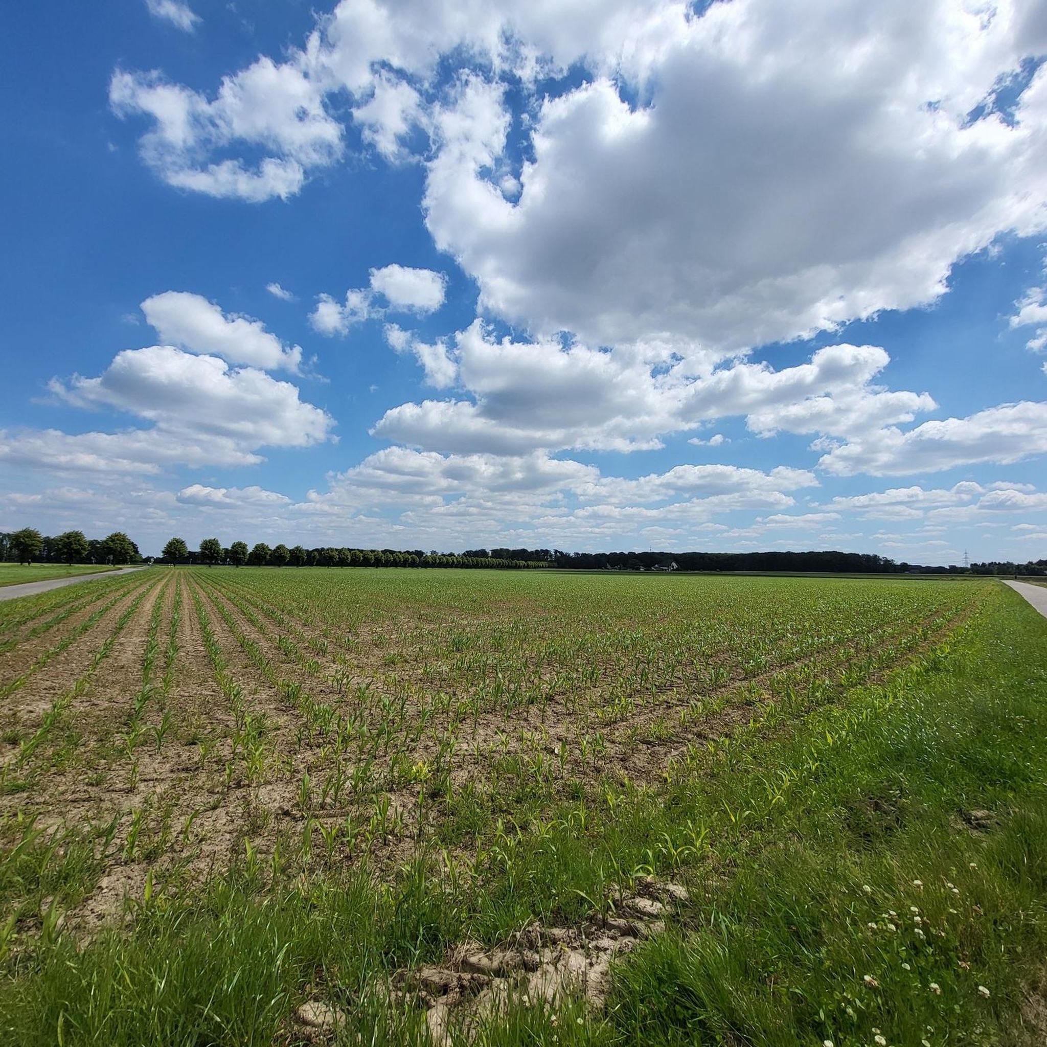
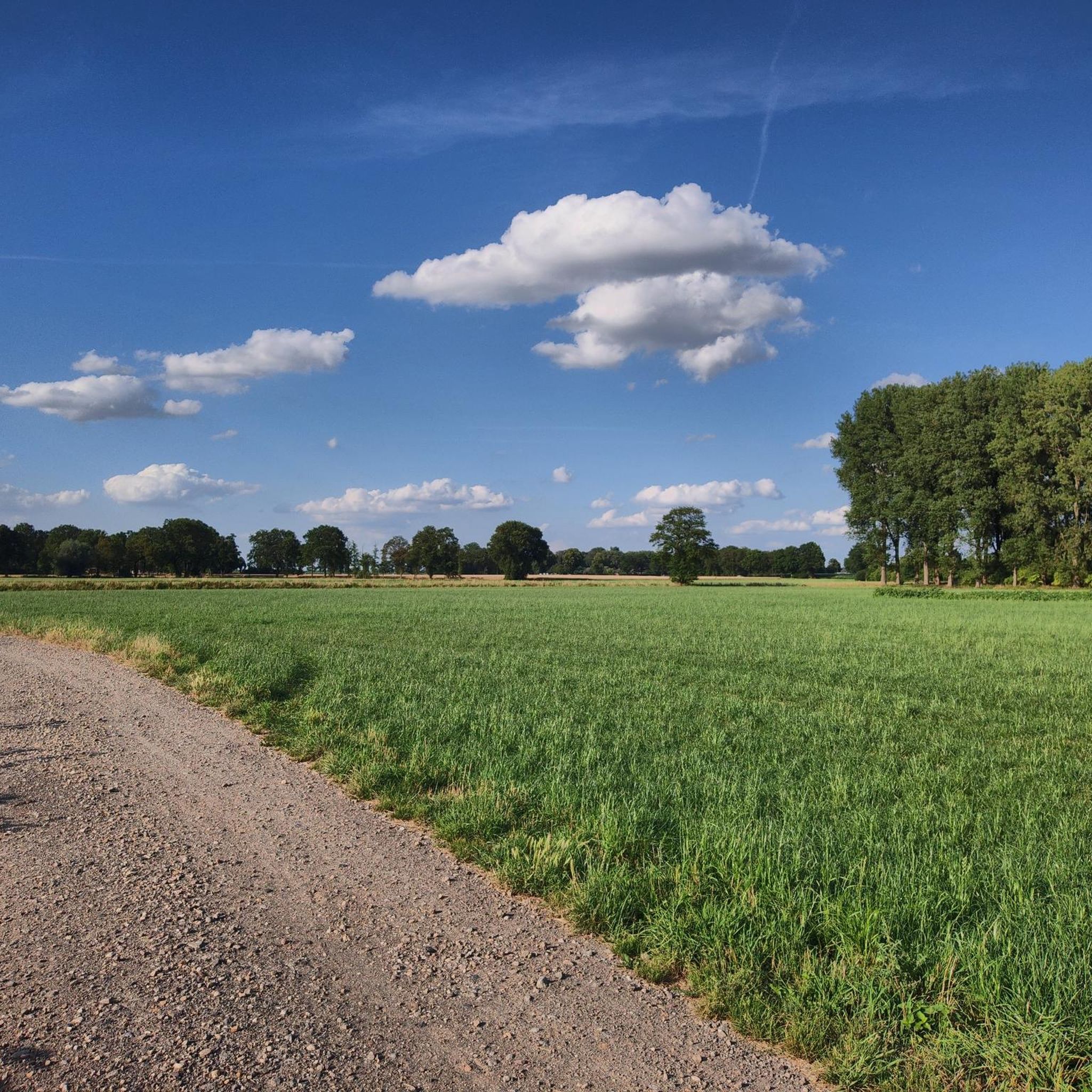
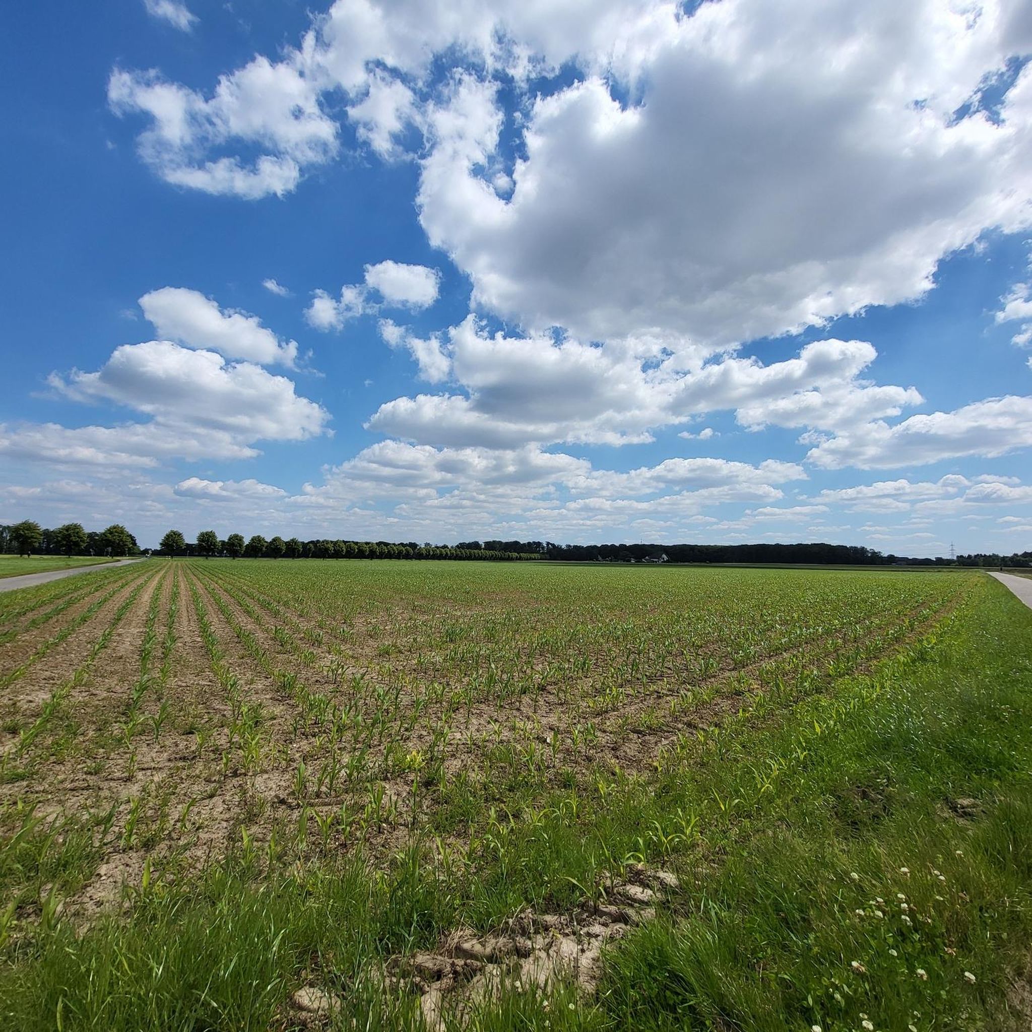
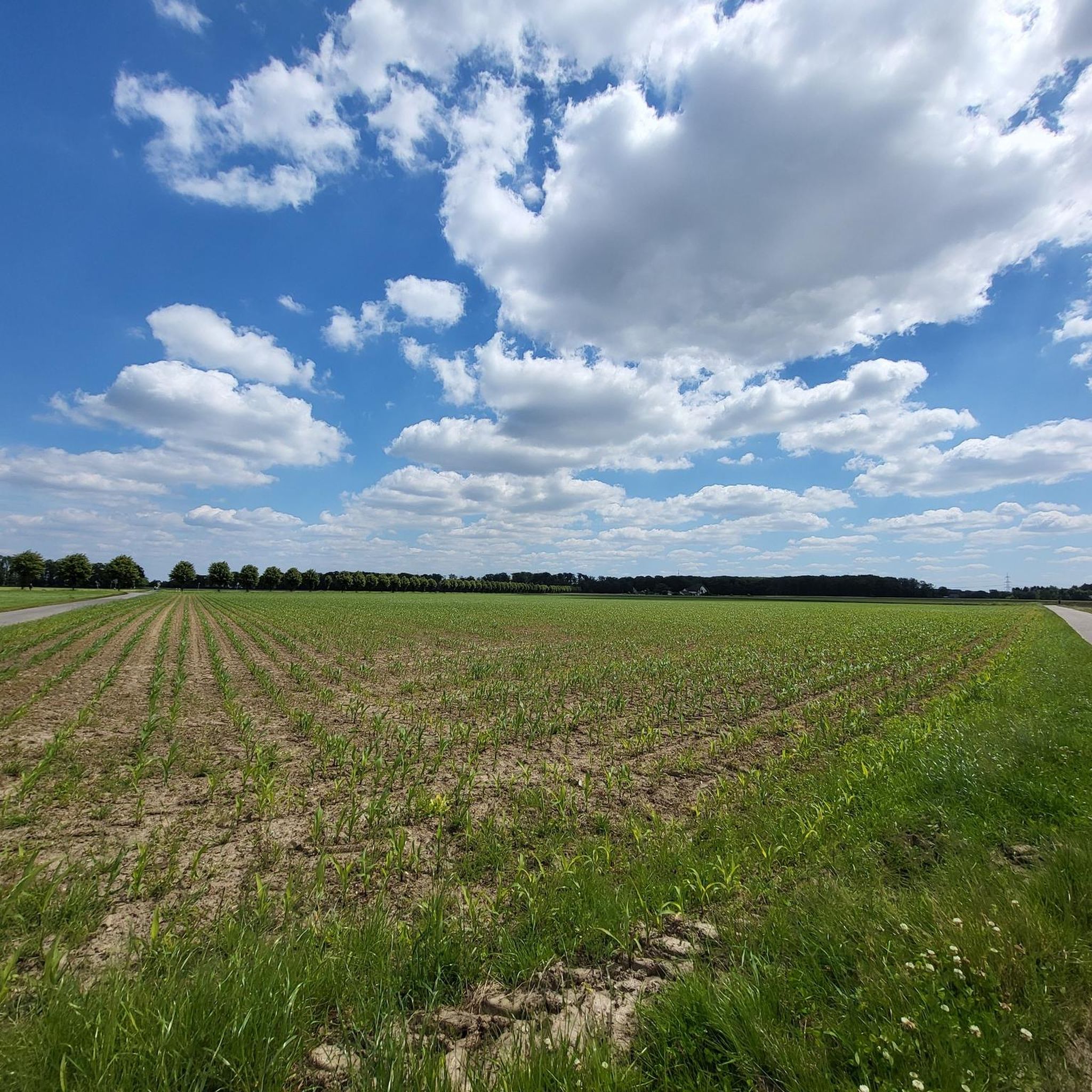
Jogging routes around Tönisvorst traverse a landscape characterized by extensive apple orchards, tranquil lakes, and wide fields. The region, known as the "Apple City," offers numerous paths through green surroundings and quiet forests. These routes often feature flat or gently undulating terrain, making them accessible for various fitness levels. Historic architecture, such as Frankish moated castles and farmhouses, adds points of interest along many trails.
Best jogging routes around Tönisvorst
- The most popular jogging route is Running loop from St. Tönis, a 3.0 miles (4.8 km) trail that takes about 29 minutes to complete, offering an easy run through local surroundings.
- Another top favourite among local runners is St. Peter Chapel (Kempen) – Art Garden Kempen-Vorst loop from Stiegerheide, a moderate 5.3 miles (8.6 km) path that winds through the scenic area around Kempen-Vorst.
- Local runners also love the St. Godehard's Church, Vorst loop from Tönisvorst, a 3.4 miles (5.5 km) trail leading through the rural landscape near Vorst, often completed in about 35 minutes.
- Jogging around Tönisvorst is defined by lush apple orchards, serene lakes, and a network of paths through fields and forests. The extensive trail network offers options for different ability levels, from easy loops to moderate runs.
- The routes in Tönisvorst are highly rated by the komoot community with an average score of 4.3 stars from over 40 reviews. More than 950 runners have used komoot to explore Tönisvorst's varied terrain.
Last updated: September 29, 2026
5.0
(1)
52
runners
4.84km
00:30
10m
10m
Easy run. Great for any fitness level. Mostly paved surfaces. Suitable for all skill levels.
40
runners
Moderate run. Good fitness required. Mostly paved surfaces. Suitable for all skill levels.

37
runners
Moderate run. Good fitness required. Mostly paved surfaces. Suitable for all skill levels.
5.0
(1)
36
runners
5.52km
00:35
10m
10m
Moderate run. Good fitness required. Mostly paved surfaces. Suitable for all skill levels.
5.0
(4)
25
runners
Moderate run. Good fitness required. Mostly paved surfaces. Suitable for all skill levels.
Get access to more routes and recommendations from other explorers.
Already have an account?
Our route recommendations are based on thousands of hikes, rides, and runs completed by other people on komoot.
Start today with a free account
Your next adventure awaits.

Tips from the Community

Hot and cold drinks available next door.
3
1
Between Kempen and St. Tönis.
5
0

https://www.derforstwald.de/geschichte-des-forstwald/ << "Brief History of the Forstwald" >> "On August 1, 1929, the Forstwald area, comprising 220 hectares, including 126 hectares of forest, was incorporated into the city of Krefeld. Since 1963, Forstwald has been a district of Krefeld. The Forstwald was originally located in the St. Tönis Heath. Two major battles took place on this site, in 1642 (during the Thirty Years' War) and 1758 (during the Seven Years' War). The heath belonged to the municipality of Vorst, but was sold to the Krefeld merchant Gerhard Schumacher due to the high debts from the French occupation. Schumacher had a pine forest planted, but it was destroyed by fire after a few years. Reforestation began shortly thereafter, and the paths were laid out as they still exist today. The forester's lodge – which still stands today – was built in 1838. Actual settlement began around the turn of the century, mostly with weekend cottages. The first settlements emerged in the early 1930s. Development as we see it today only began after World War II. As early as 1945, the first postwar St. Martin's Day parade took place in the Forstwald forest. In the summer of 1952, there was great excitement among the residents. Rumors stated that large parts of the forest would have to be sacrificed to build a military camp. This was one of the reasons that led to the formation of the "Forstwald Citizens' Association." Only 20 hectares, half of them in Sankt Tönis territory, where a building materials depot of the OT (Organisation Todt) had been established during the war, were confiscated and built on by the occupying forces. For the Forstwald residents, this marked the beginning of fresh water supplies and sewerage. The first school in the Forstwald forest, a Catholic elementary school, opened in 1945 in the former OT administration barracks. The groundbreaking ceremony for the current Forstwald School took place in 1954. In 1949, a Protestant emergency church was also established in a disused OT barracks. The current St. John's Church was consecrated in 1961. After the foundation stone was laid in 1970, the Maria Waldrast Church of the Catholic community was consecrated in November 1971. We have had a branch of the savings bank since 1969.
1
0
The station is located on the railway line from Duisburg-Ruhrort to Mönchengladbach. It was opened by the Bergisch-Märkische Railway Company on January 1, 1866. Via the train ferry in Duisburg-Homberg, trains could continue to Mönchengladbach via Forsthaus. The station building, located in the middle of the forest, was built in 1880 and has largely survived to this day. It is located in the middle of a local recreation area, which up to 3,000 day-trippers visited on summer days. The station also included a goods shed. The pine forest was originally planted by the banker Gerhard Schumacher. He sold the timber to the surrounding coal mines. The building is no longer used by Deutsche Bahn AG. https://bf-k2.zielbahnhof.de/krefeld_forsthaus.htm
1
0

At first glance it looks like a lunar landscape. The art garden with ever new works and old machines.
26
1

... nice after-work tour if you come from Krefeld or the surrounding area
2
0

Via Huverheide and Tack through the orchards to St. Tönis. Beautiful cycle route with no significant traffic.
3
0

The mill stands in the middle of the village.
5
0
Frequently Asked Questions
How many running routes are available in Tönisvorst?
Tönisvorst offers a wide selection of running routes, with over 100 trails available for you to explore. These include a mix of easy, moderate, and a few more challenging options.
Are there running routes suitable for all fitness levels in Tönisvorst?
Yes, Tönisvorst caters to various fitness levels. You'll find nearly 20 easy routes perfect for beginners or a relaxed jog, around 80 moderate trails for those seeking a bit more challenge, and a few difficult routes for experienced runners.
What natural features or landmarks can I see while jogging in Tönisvorst?
Tönisvorst is known for its picturesque landscapes. You can jog through extensive apple orchards, especially beautiful during blossom season. The region also features tranquil lakes like the Krickenbecker Lakes, and you might pass historic architecture such as Frankish moated castles and farmhouses. For panoramic views, consider routes near the Johannesturm Observation Tower.
When is the best time of year to go running in Tönisvorst?
The spring and summer months are particularly pleasant for running in Tönisvorst, especially during the apple blossom season when the orchards are in full bloom. The mild weather and lush green surroundings make for an enjoyable experience. Autumn also offers beautiful scenery with changing leaf colors.
Are there family-friendly running routes in Tönisvorst?
Many of the routes in Tönisvorst are suitable for families, especially the easier, flatter trails that wind through fields and orchards. These paths often provide a safe and scenic environment for a family outing. For example, the Running loop from St. Tönis is an easy 3-mile trail that's great for a relaxed family run.
Can I bring my dog on the running trails in Tönisvorst?
Generally, dogs are welcome on many of the running trails in Tönisvorst. It's always recommended to keep your dog on a leash, especially in nature protection areas or near agricultural land, and to clean up after them to ensure a pleasant experience for everyone.
Are there many circular running routes in Tönisvorst?
Yes, Tönisvorst offers a good selection of circular running routes, which are popular for their convenience. Many trails, like the St. Godehard's Church, Vorst loop from Tönisvorst or the Unterweiden Orchard & Farm Shop loop from St. Tönis, are designed as loops, allowing you to start and finish at the same point.
Where can I find parking near the running trails in Tönisvorst?
Parking is generally available near the starting points of many running routes in Tönisvorst, especially in and around the town centers or designated recreational areas. Specific parking information can often be found on individual route pages on komoot, such as for the St. Tönis Orchard Farm Café loop.
Is it easy to reach the running routes by public transport?
Tönisvorst has public transport connections that can get you close to many of the running trails. Depending on your starting point, local bus services can provide access to different parts of the region, making it possible to reach various routes without a car.
Do I need any permits to jog on trails in Tönisvorst?
No, generally you do not need any special permits to jog on the public trails and paths in Tönisvorst. The extensive network of routes is freely accessible for outdoor activities like running.
What do other runners say about the trails in Tönisvorst?
The running routes in Tönisvorst are highly regarded by the komoot community, boasting an average rating of 4.3 stars from over 40 reviews. Runners often praise the quiet, scenic paths through apple orchards and fields, and the well-maintained trails that offer a peaceful outdoor experience.
Are there cafes or places to eat near the running routes?
Given Tönisvorst's rural charm, you can often find local cafes, farm shops, or traditional pubs in the villages or along some routes. These spots are perfect for a refreshment or a meal after your run. For example, the St. Tönis Orchard Farm Café loop passes by a local café.
Most popular routes around Tönisvorst
Most popular attractions around Tönisvorst

Get inspired with the komoot mobile app


Explore more
Browse the best Running Trails & Routes in other regions.
