The best gravel rides around Tönisvorst
4.3
(139)
522
riders
43
rides
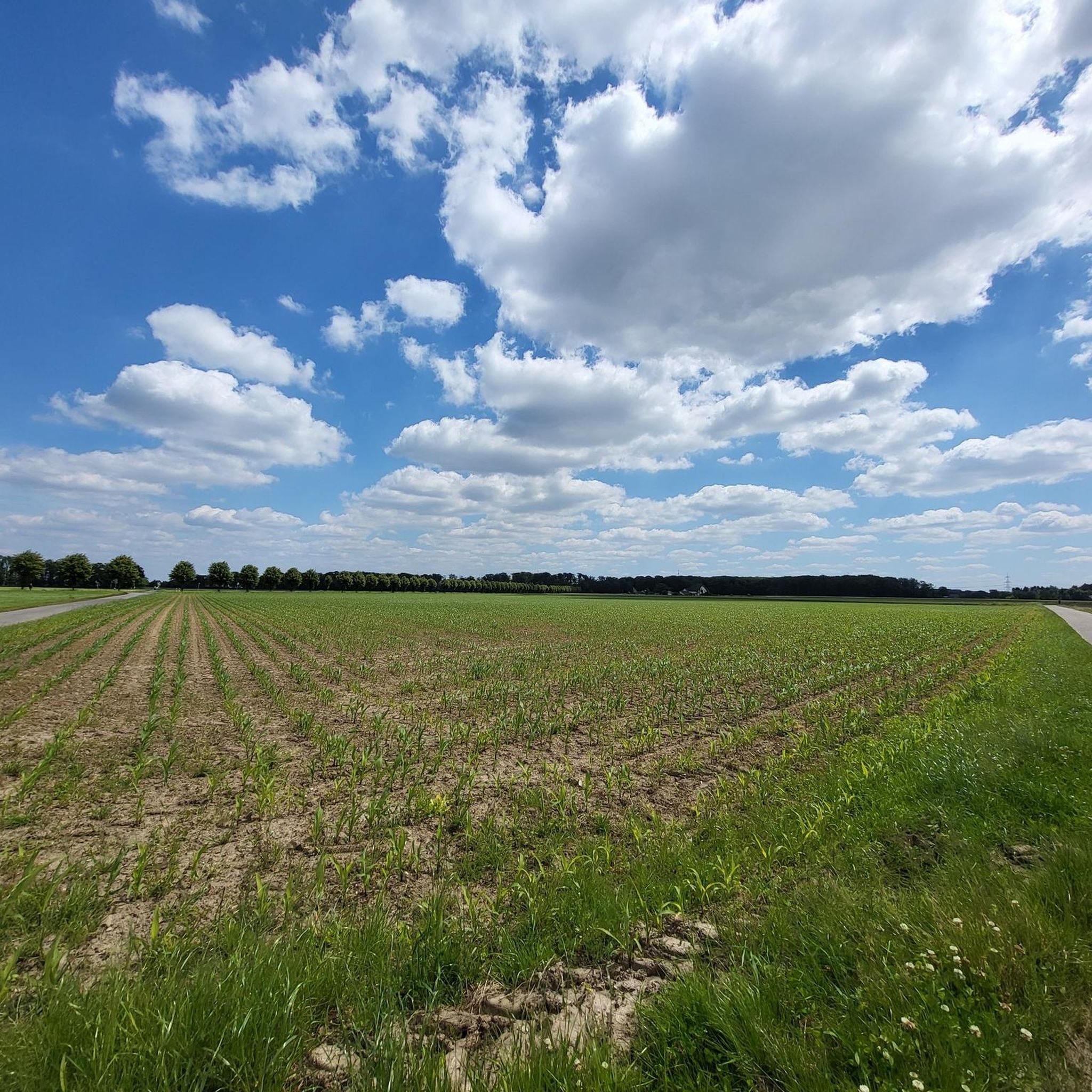
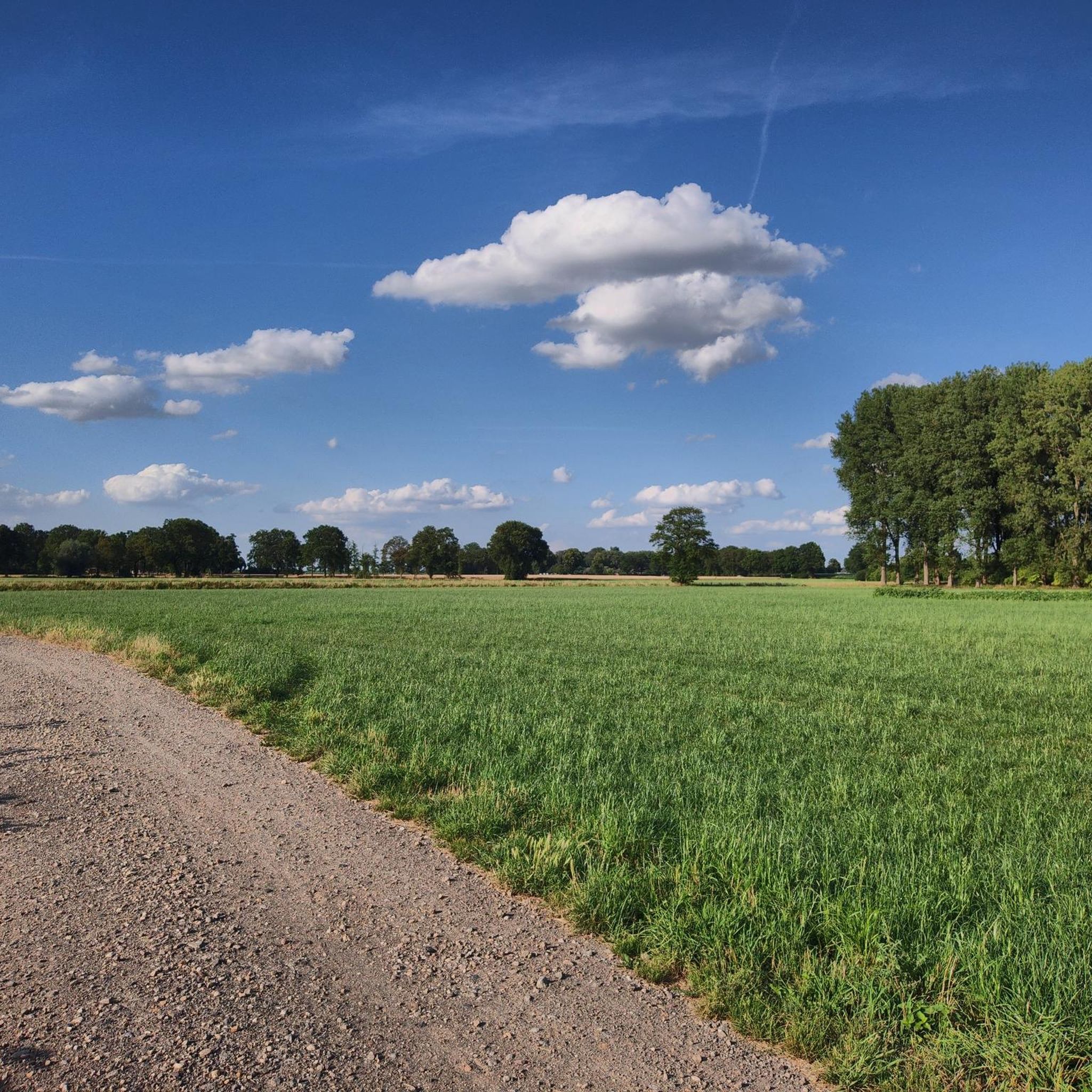
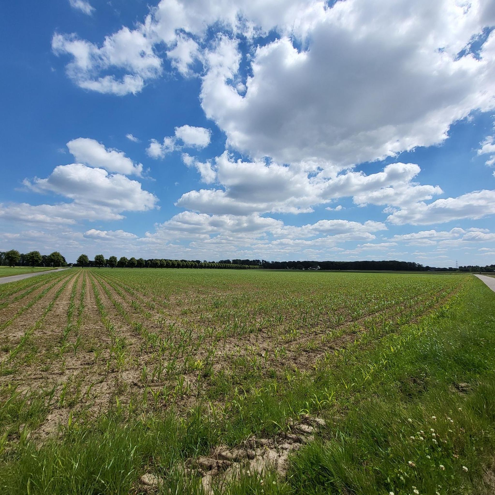
Gravel biking around Tönisvorst offers a network of routes primarily characterized by the flat to gently rolling terrain of the Lower Rhine region. The landscape features a mix of agricultural fields, small woodlands, and riverside paths, particularly along the Niers. Elevation changes are generally minimal, making the area suitable for varied gravel cycling experiences. The region's trails often follow established cycle paths and unpaved farm tracks, providing accessible surfaces for gravel bikes.
Best gravel bike trails around Tönisvorst
- The most…
Last updated: August 13, 2026
4.4
(14)
112
riders
Moderate gravel ride. Good fitness required. Mostly paved surfaces. Suitable for all skill levels.
4.6
(18)
53
riders
33.1km
01:39
50m
50m
Easy gravel ride. Great for any fitness level. Mostly paved surfaces. Suitable for all skill levels.

Sign up for free
4.1
(8)
37
riders
49.3km
02:27
110m
110m
Moderate gravel ride. Good fitness required. Mostly paved surfaces. Suitable for all skill levels.
4.6
(9)
14
riders
43.0km
02:18
140m
140m
Moderate gravel ride. Good fitness required. Mostly paved surfaces. Suitable for all skill levels.
4.3
(7)
18
riders
44.5km
02:28
150m
150m
Hard gravel ride. Good fitness required. You may need to push your bike for some segments of this route.
Get access to more routes and recommendations from other explorers.
Sign up for free
Already have an account?
Our route recommendations are based on thousands of hikes, rides, and runs completed by other people on komoot.
Start today with a free account
Your next adventure awaits.
Login or Signup
Tips from the Community

The Niers near Soest a great opportunity for paddling
0
0

The Ilverich Old Rhine Loop is protected as a natural monument and
0
0
100 to 128 kilometer long river cycle path
2
0

It is a very beautiful route. As there are also thorny bushes on the edge of the path from time to time and the trails are probably not ridden very often, I would recommend a long-sleeved shirt and long trousers.
0
0

Left Rhine cycle path, largely paved
0
0

Undoubtedly a highlight in the region.
0
0

It's enough to take a photo. The tower is not accessible.
1
0
Frequently Asked Questions
How many gravel bike trails are available around Tönisvorst?
There are over 140 gravel bike routes in the Tönisvorst area, offering a wide range of options for different skill levels and preferences. This includes 48 easy routes, 66 moderate routes, and 27 difficult routes.
What is the typical terrain like for gravel biking in Tönisvorst?
The terrain around Tönisvorst is predominantly flat to gently rolling, characteristic of the Lower Rhine region. You'll encounter a mix of agricultural fields, small woodlands, and riverside paths, particularly along the Niers. Trails often follow established cycle paths and unpaved farm tracks, providing accessible surfaces for gravel bikes with minimal elevation changes.
Are there any family-friendly gravel bike routes in Tönisvorst?
Yes, the flat and gentle terrain makes many routes suitable for families. Look for routes categorized as 'easy' on komoot. A good example is the Niers Cycle Path – Rheydt Palace Park loop from Viersen, which is an easy 33.1 km ride following the Niers Cycle Path.
What are some good options for beginner gravel bikers near Tönisvorst?
Beginners will find many suitable routes due to the region's generally flat profile. Focus on routes marked as 'easy' in komoot. The Niers Cycle Path – Rheydt Palace Park loop from Viersen is an excellent starting point, offering a relaxed ride through the local landscape.
Are there any challenging gravel bike trails for advanced riders?
While the region is generally flat, there are routes that offer more challenge, often due to longer distances or more varied surfaces. For a more demanding ride, consider the Mühlenheuweg Trail – Nette River loop from Forsthaus, which is a difficult 59.3 km route.
What kind of attractions can I see along gravel bike routes in Tönisvorst?
The region offers a mix of natural beauty and historical sites. You can find viewpoints like the Johannesturm Observation Tower or the Kapuzinerberg Summit Cross and View over Krefeld. Additionally, there are several castles and historical sites nearby, such as Neersen Castle or Kempen Old Town, which can be incorporated into your rides.
Are there circular gravel bike routes available in Tönisvorst?
Yes, many of the gravel bike routes in Tönisvorst are designed as loops, allowing you to start and end at the same point. Examples include the Niers Riverside Trail – Branch channel loop from Viersen and the Süchteln Water Reservoir – Mühlenheuweg Trail loop from Forsthaus.
What do other gravel bikers say about the trails in Tönisvorst?
The gravel biking routes in Tönisvorst are highly rated by the komoot community, with an average score of 4.5 stars from over 200 reviews. Riders often praise the varied terrain, from riverside paths to agricultural tracks, and the accessibility for different skill levels.
Is it possible to access gravel bike trails in Tönisvorst using public transport?
Tönisvorst and surrounding towns like Viersen are connected by public transport, including regional trains and buses. Many routes start near train stations or bus stops, making it feasible to reach the trails without a car. Check local transport schedules for specific starting points.
Are there any routes that pass by lakes or reservoirs?
Yes, some routes will take you past local water bodies. For instance, the Süchteln Water Reservoir – Mühlenheuweg Trail loop from Forsthaus leads through areas near the Süchteln Water Reservoir, offering scenic views.
What is the best time of year for gravel biking in Tönisvorst?
Spring and autumn generally offer the most pleasant conditions for gravel biking in Tönisvorst, with mild temperatures and beautiful scenery. Summer can also be great, though it's advisable to ride earlier or later in the day to avoid the midday heat. Winter riding is possible, but trails might be muddy or icy, especially on unpaved sections.
Where can I find parking for gravel biking trails in Tönisvorst?
Many trailheads and popular starting points in and around Tönisvorst offer public parking. It's often convenient to look for parking near town centers, train stations, or designated recreational areas. Always check local signage for parking regulations.
Are there any routes that explore the Niers river?
Absolutely. The Niers river is a central feature of the region's landscape and many gravel routes follow its course. The Niers Riverside Trail – Branch channel loop from Viersen is a prime example, exploring scenic riverside sections and branch channels.
Most popular routes around Tönisvorst
Most popular attractions around Tönisvorst

Get inspired with the komoot mobile app


Explore more
Browse the best Gravel rides in other regions.
