The best MTB trails around Mittainvilliers-Vérigny
4.4
(48)
416
riders
34
rides
Mountain bike trails around Mittainvilliers-Vérigny traverse a rural and agricultural landscape, characterized by undulating terrain and a significant wooded environment. The area features three valleys to the south, converging in the east, where the Couasnon flows. This provides a varied setting with elevation changes and water features, ideal for exploring on two wheels. The region's fields and forests offer numerous paths suitable for mountain biking.
Best mountain bike trails around Mittainvilliers-Vérigny
- The most popular mountain bike trail is Moulin de…
Last updated: July 9, 2026
4.7
(6)
65
riders
58.1km
04:14
350m
350m
Moderate mountain bike ride. Good fitness required. Suitable for all skill levels.
4.3
(6)
46
riders
44.0km
03:02
190m
190m
Moderate mountain bike ride. Good fitness required. Suitable for all skill levels.

Sign up for free
4.8
(4)
40
riders
45.0km
02:48
190m
190m
Moderate mountain bike ride. Good fitness required. Suitable for all skill levels.
4.2
(5)
27
riders
37.2km
02:57
270m
270m
Moderate mountain bike ride. Good fitness required. Advanced riding skills necessary.
5.0
(4)
23
riders
Moderate mountain bike ride. Good fitness required. Suitable for all skill levels.
Get access to more routes and recommendations from other explorers.
Sign up for free
Already have an account?
Our route recommendations are based on thousands of hikes, rides, and runs completed by other people on komoot.
Start today with a free account
Your next adventure awaits.
Login or Signup
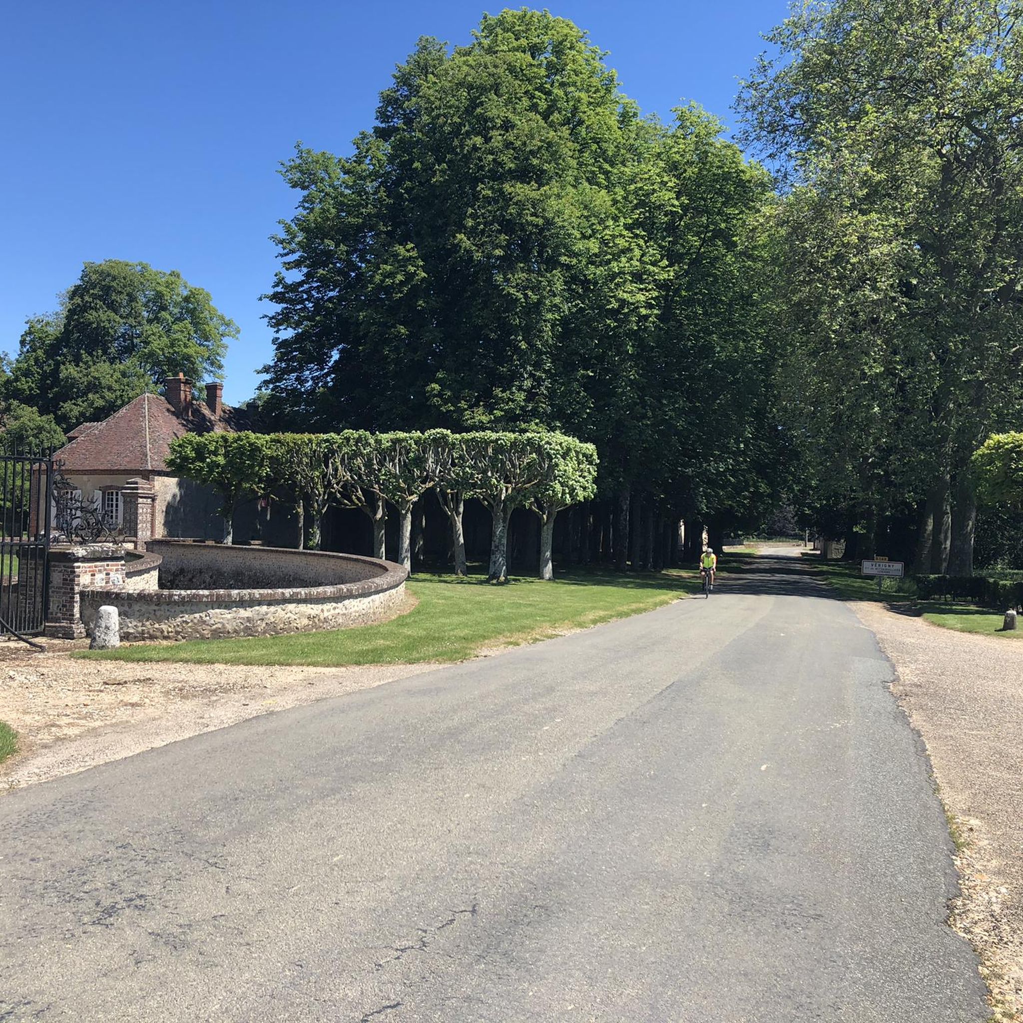


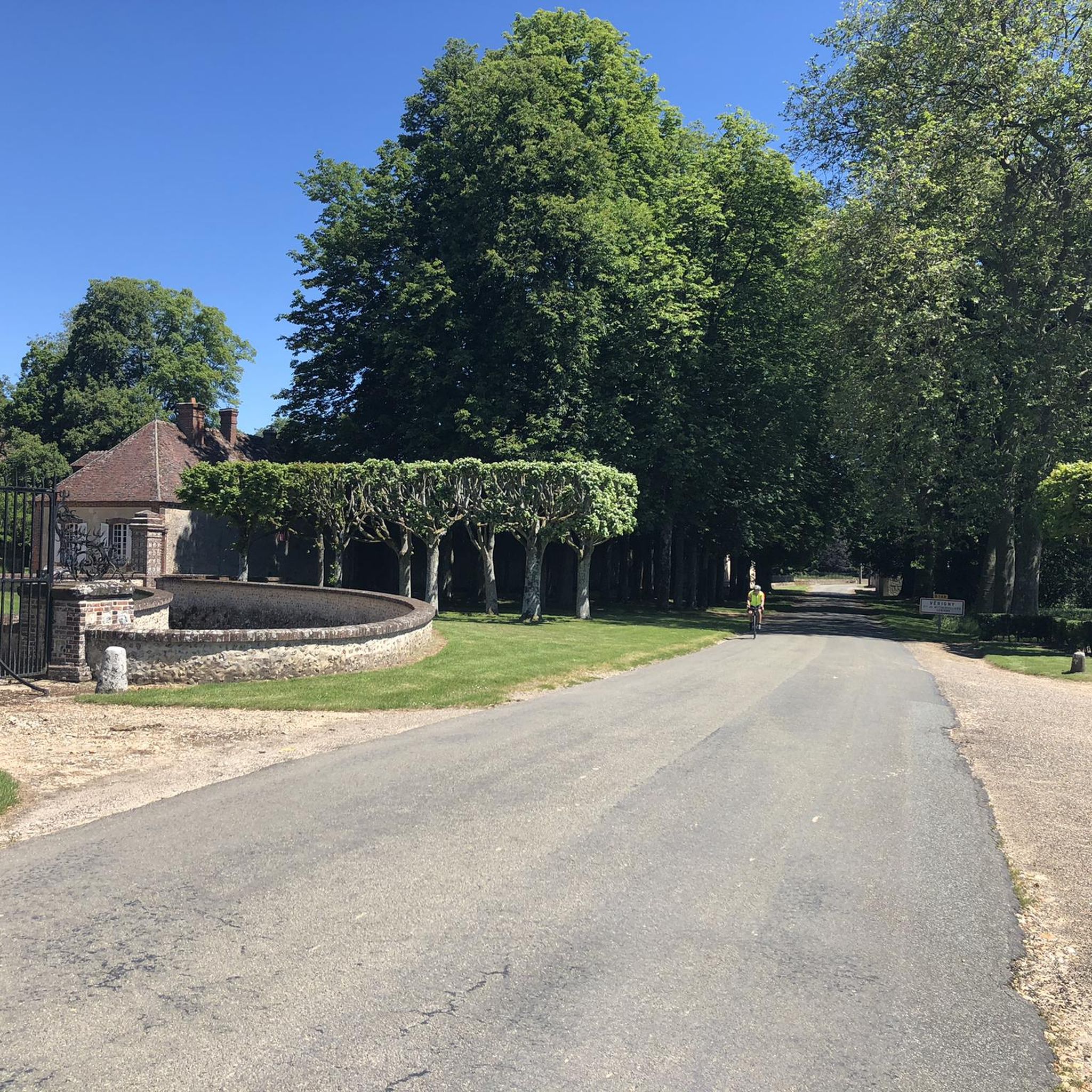

Tips from the Community

be careful because there are forest animals
0
0

The Rond du Roi are two pyramids which mark the limits of the former royal hunting domain. The pyramids date from the 18th century and are made of sandstone blocks. They are located at the intersection of forest roads, called Rond de France and Rond du Roi. This area offers plenty of woodland running trails with stunning views of the surrounding countryside.
2
0
The Rond des Quatres Barrières is a historic monument dating from the 18th century. It was built by the Duke of Penthièvre, owner of the neighboring castle of Châteauneuf-en-Thymerais. The Rond des Quatres Barrières is made up of four stone arches which form a circle, with a fountain in the center. It is located in the middle of the forest. The Rond des Quatres Barrières is the ideal place to visit during a running race.
2
0
Châteauneuf-en-Thymerais is a town with a rich history and magnificent forests. You can explore the remains of the old castle, the neoclassical town hall and the unique Notre-Dame du Pasme church, which was built with materials from the demolished castle. The Châteauneuf-en-Thymerais national forest, which extends over 1,743 hectares, also offers opportunities for discovering nature and wildlife. Châteauneuf-en-Thymerais is a favorite destination for runners of all levels.
2
0
The Rond du Roi are two pyramids that mark the boundaries of the former royal hunting grounds. The pyramids date from the 18th century and are made of blocks of sandstone. They are located at the intersection of forest roads, called the Rond de France and the Rond du Roi. This area offers pleasant walks in the woods, with some views of the surrounding countryside.
3
0
The Rond des Quatres Barrières is a historical monument dating from the 18th century. It was built by the Duke of Penthièvre, who owned the neighboring castle of Châteauneuf-En-Thymerais. The Rond des Quatres Barrières is made up of four stone arches that form a circle, with a fountain in the center. It is located in the middle of the forest. The Rond des Quatres Barrières is a peaceful and charming place to visit, especially in the spring or fall when the trees are in bloom or changing color.
2
0
Châteauneuf-en-Thymerais is a town with a rich history and magnificent forest. You can explore the remains of the old castle, the neoclassical town hall and the unique Notre-Dame du Pasme church, which was built with materials from the demolished castle. You can also enjoy nature and wildlife in the Châteauneuf-en-Thymerais national forest, which covers 1,743 hectares. Châteauneuf-en-Thymerais is a destination of choice for hikers who love history and nature.
2
0

This discovery began with the old castle of Gougnault from 1300 to 1413 then the rebirth under Louis XIV and the creation of the Eure canal which crossed the park, followed by an 18th and 19th. "In 1780, four-year-old Anne Marie Reviers de Mauny planted a cedar in a kindergarten and the tree still stands in the town hall park" underlined Jacques Charron, the president of the association. This discovery ended with the period of the liberation of the village on August 15, 1944 by the Americans. source: the republican echo
1
0
Frequently Asked Questions
How many mountain bike trails are available around Mittainvilliers-Vérigny?
There are over 30 mountain bike trails around Mittainvilliers-Vérigny, offering a variety of routes through the rural and wooded landscapes of the Eure-et-Loir region.
Are there any easy mountain bike trails suitable for beginners or families?
Yes, approximately one-third of the trails around Mittainvilliers-Vérigny are rated as easy, making them suitable for beginners or family outings. These routes typically traverse well-maintained paths through fields and forests. For example, you can find several shorter, less challenging loops within the area.
What kind of terrain can I expect on the mountain bike trails in Mittainvilliers-Vérigny?
The terrain around Mittainvilliers-Vérigny is characterized by a rural and agricultural landscape with undulating sections and a significant wooded environment. You'll encounter paths through fields, forests, and some gentle elevation changes, particularly around the three valleys to the south where the Couasnon river flows.
Are there any long-distance mountain bike routes in the area?
Yes, there are several longer routes for those seeking a more extended ride. A notable option is the Moulin de Torçay – Obelisk of the Rond de France loop from Favières, which covers nearly 58 km and takes around 4 hours to complete, exploring extensive wooded areas and rural paths.
What are the most scenic mountain bike trails or viewpoints in Mittainvilliers-Vérigny?
The region offers picturesque views of the Percheron countryside, with its characteristic fields and forests. Many routes pass through charming rural settings. For a blend of nature and history, consider a route that includes the Vérigny Castle, a classic-style edifice surrounded by a French-style park, offering a scenic stop.
Are there any circular mountain bike routes available?
Many of the mountain bike routes in Mittainvilliers-Vérigny are designed as loops, allowing you to start and finish at the same point. Examples include the Rond du Roi – Obelisk of the Rond de France loop from Favières, a moderate 44 km path, or the Rond du Roi – Zone cross loop from Favières, which is also a popular loop through the rural countryside.
What historical landmarks or attractions can I see along the mountain bike trails?
The area is rich in historical charm. Beyond the Vérigny Castle, you might encounter historical churches like the Saint-Georges Church of Saint-Georges-sur-Eure or the Orrouer Church, which add cultural interest to your ride. The older common buildings and agricultural structures dating back to the 16th and 17th centuries also dot the landscape.
What do other mountain bikers say about the trails in Mittainvilliers-Vérigny?
The mountain bike trails in Mittainvilliers-Vérigny are highly rated by the komoot community, with an average score of 4.4 stars from over 45 reviews. Riders often praise the peaceful rural countryside, the varied wooded environments, and the well-maintained paths that make for enjoyable rides.
Are there any challenging or expert-level mountain bike trails in this region?
The trails around Mittainvilliers-Vérigny primarily offer easy to moderate difficulty levels. While the undulating terrain provides some engaging sections, there are currently no trails classified as difficult or expert-level, making the area more suited for recreational riders and those looking for enjoyable, accessible routes.
Is there parking available near the mountain bike trailheads?
Given the rural nature of Mittainvilliers-Vérigny and its surrounding communes, parking is generally available in village centers or designated areas near popular trail access points. It's advisable to check specific route descriptions on komoot for details on recommended starting points and parking facilities.
What is the best season for mountain biking in Mittainvilliers-Vérigny?
The best seasons for mountain biking in Mittainvilliers-Vérigny are typically spring and autumn, when the weather is mild and the natural scenery is at its most vibrant. Summer can also be pleasant, especially in the wooded areas, but always be prepared for warmer temperatures. Winter riding is possible, but some paths might be muddy or slippery after rain or frost.
Are there any routes that pass by the Château de Fontaine-la-Guyon?
Yes, you can explore the area around the Château de Fontaine-la-Guyon. The Château de Fontaine-la-Guyon loop from Dangers is a moderate 33.6 km mountain bike route that allows you to discover this part of the region.
Can I find routes that include the Obelisk of the Rond de France?
Absolutely. The Obelisk of the Rond de France is a notable landmark in the area. The Obelisk of the Rond de France – Châteauneuf-en-Thymerais loop from Thimert-Gâtelles is a moderate 33.5 km route that incorporates this point of interest.
Most popular routes around Mittainvilliers-Vérigny
Most popular attractions around Mittainvilliers-Vérigny

Get inspired with the komoot mobile app


Explore more
Browse the best MTB trails in other regions.
