The best mountain hikes around Bad Lippspringe
4.5
(3)
16
hikers
5
hikes
Mountaineering routes around Bad Lippspringe traverse a varied landscape characterized by rolling hills, dense woodlands, and open heathland. The region features historical sites like Falkenburg Castle Ruins and natural landmarks such as the Velmerstot Upland Heath. Water bodies like Lippesee also form part of the local terrain, offering diverse settings for outdoor activities.
Best mountaineering routes around Bad Lippspringe
- The most popular mountaineering route is Ascent to the Velmerstot Summit – Lippische Velmerstot loop from Leopoldstal, a 6.8 miles…
Last updated: May 9, 2026
10.9km
03:09
270m
270m
Moderate mountaineering route. Good fitness required. Easily-accessible paths. Suitable for all skill levels.
4.0
(2)
7
hikers
22.6km
06:33
590m
590m
Hard mountaineering route. Very good fitness required. Easily-accessible paths. Suitable for all skill levels.

Sign up for free
3
hikers
6.68km
02:03
230m
230m
Moderate mountaineering route. Good fitness required. Mostly accessible paths. Sure-footedness required.
5.0
(1)
1
hikers
9.85km
02:47
210m
210m
Moderate mountaineering route. Good fitness required. Easily-accessible paths. Suitable for all skill levels.
1
hikers
6.19km
01:34
10m
10m
Easy mountaineering route. Great for any fitness level. Easily-accessible paths. Suitable for all skill levels.
Our route recommendations are based on thousands of hikes, rides, and runs completed by other people on komoot.
Start today with a free account
Your next adventure awaits.
Login or Signup
Popular around Bad Lippspringe
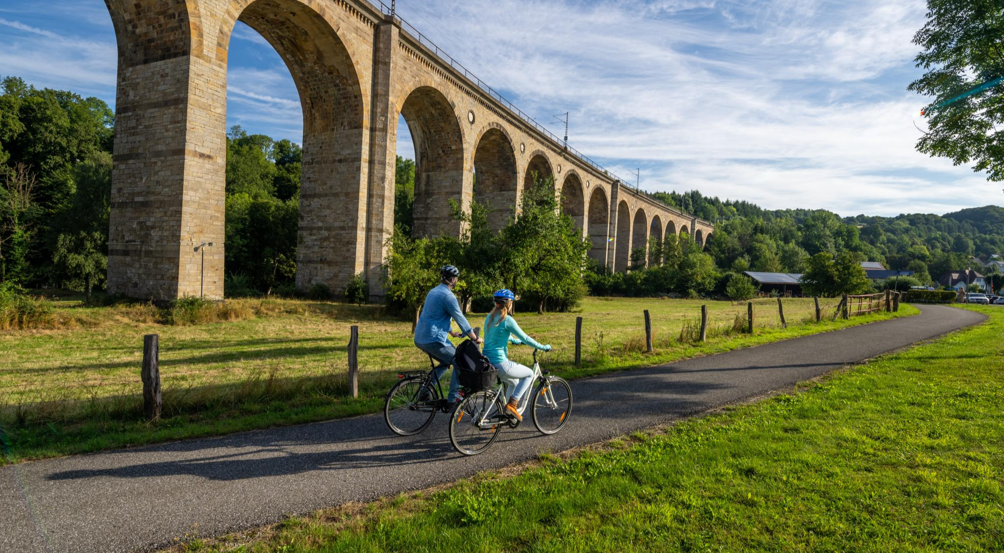
The Paderborn Land Route – 250 kilometers through the middle of Westphalia
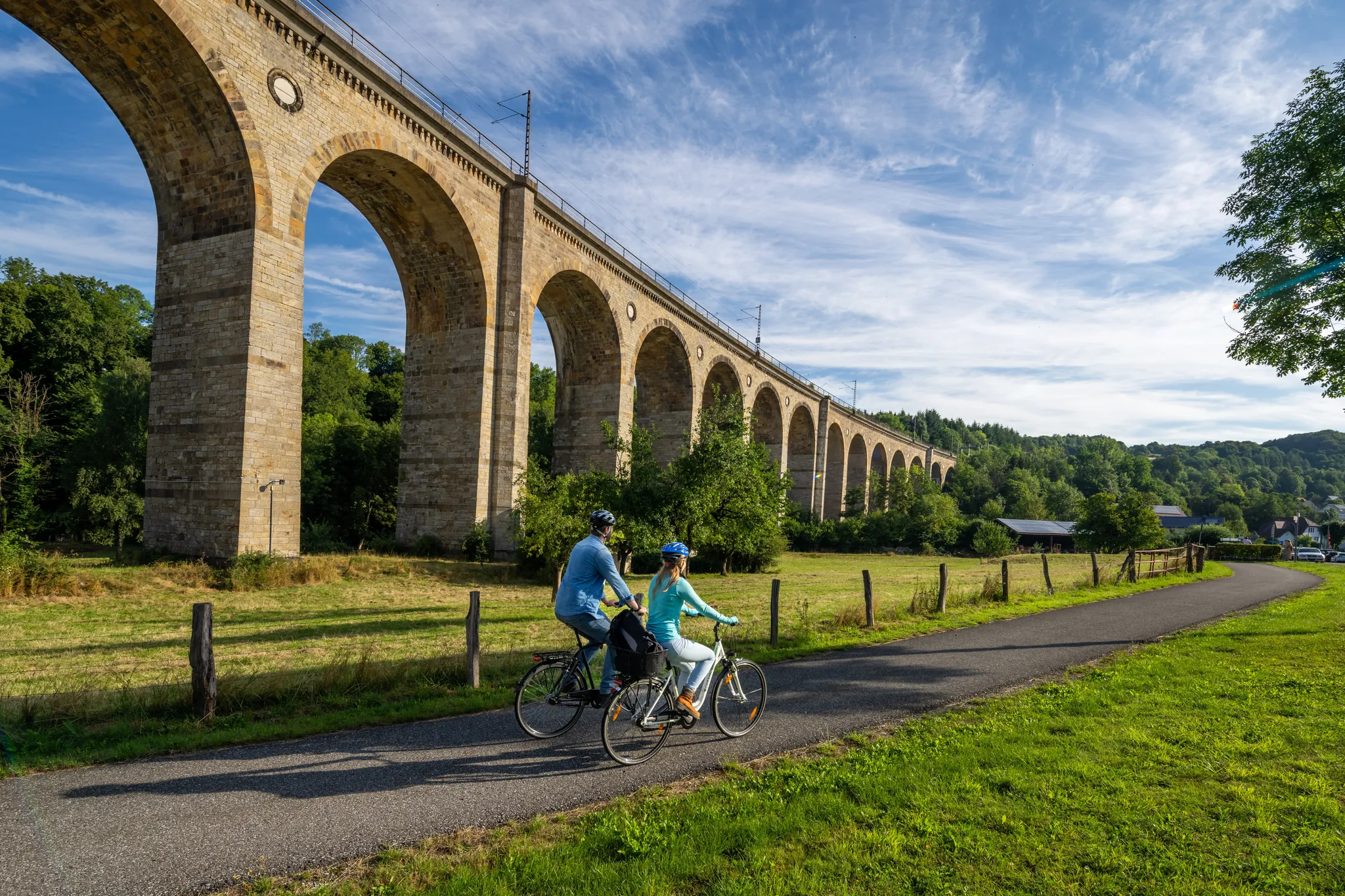
The Paderborn Land Route – 250 kilometers through the middle of Westphalia
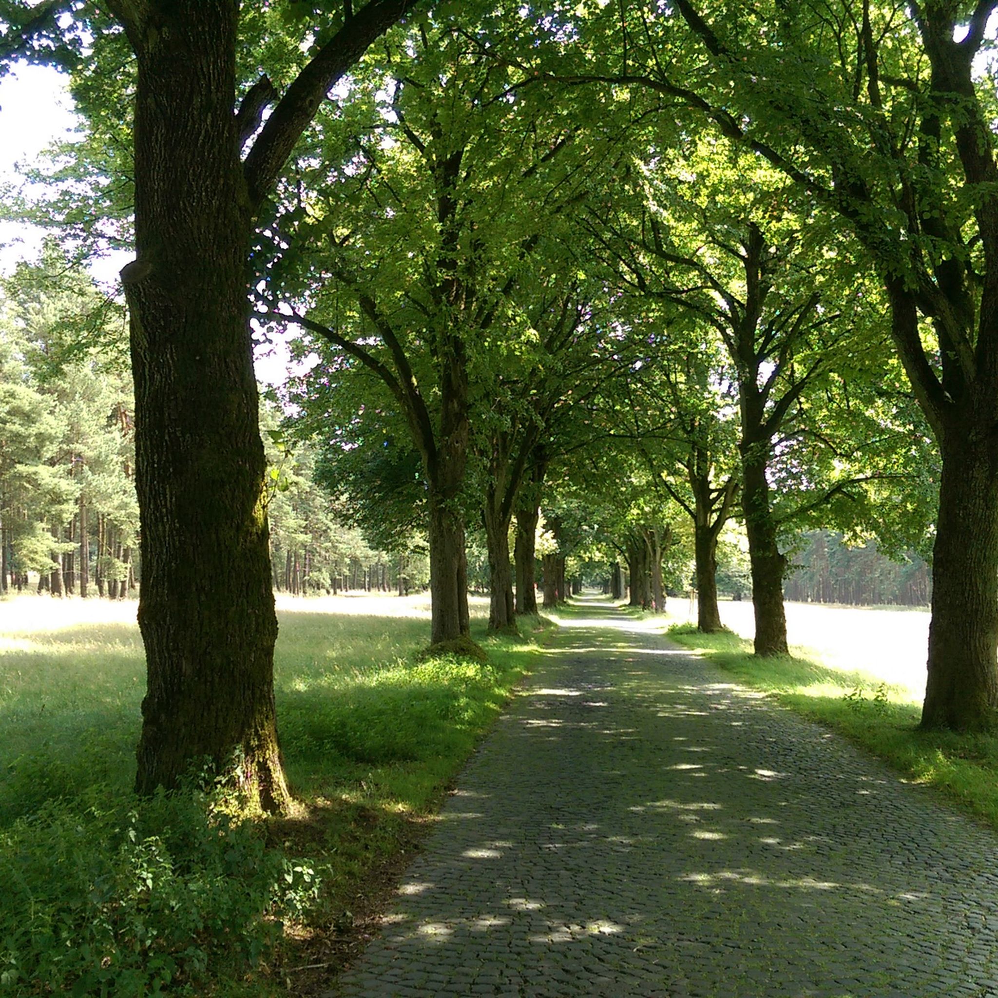
Cycling around Bad Lippspringe
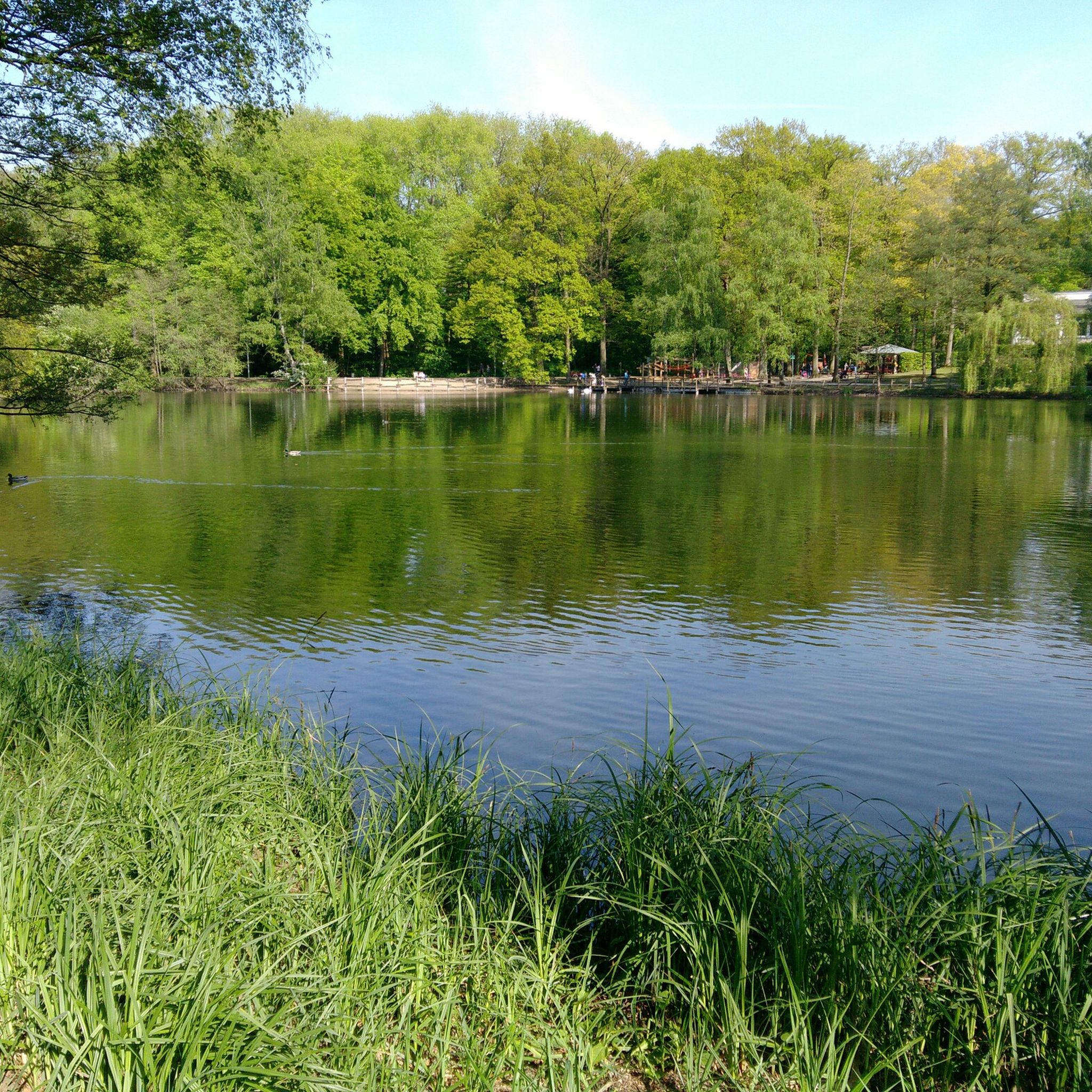
Hiking around Bad Lippspringe
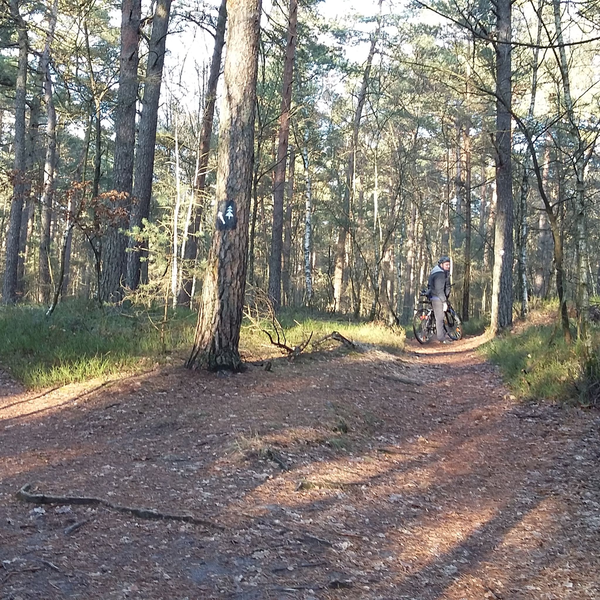
MTB Trails around Bad Lippspringe
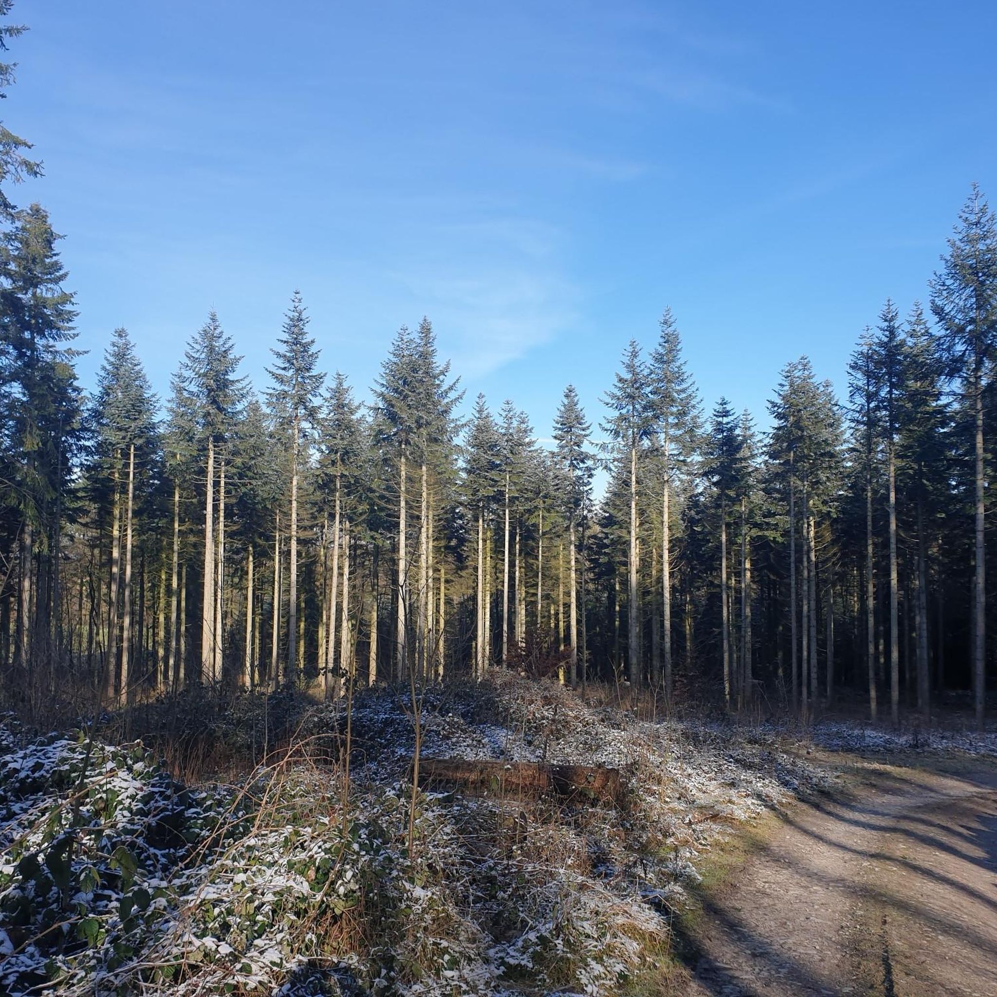
Running Trails around Bad Lippspringe
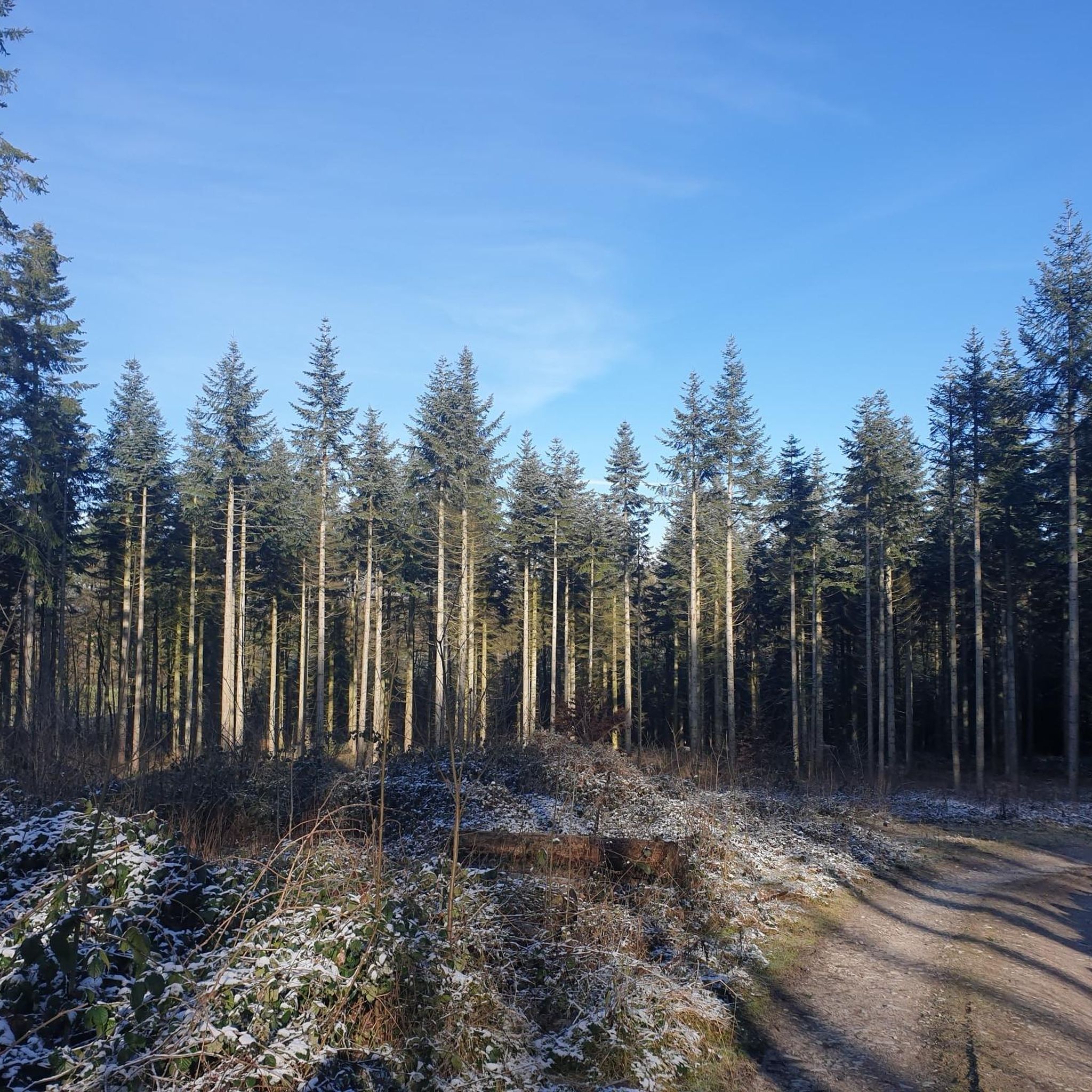
Road Cycling Routes around Bad Lippspringe
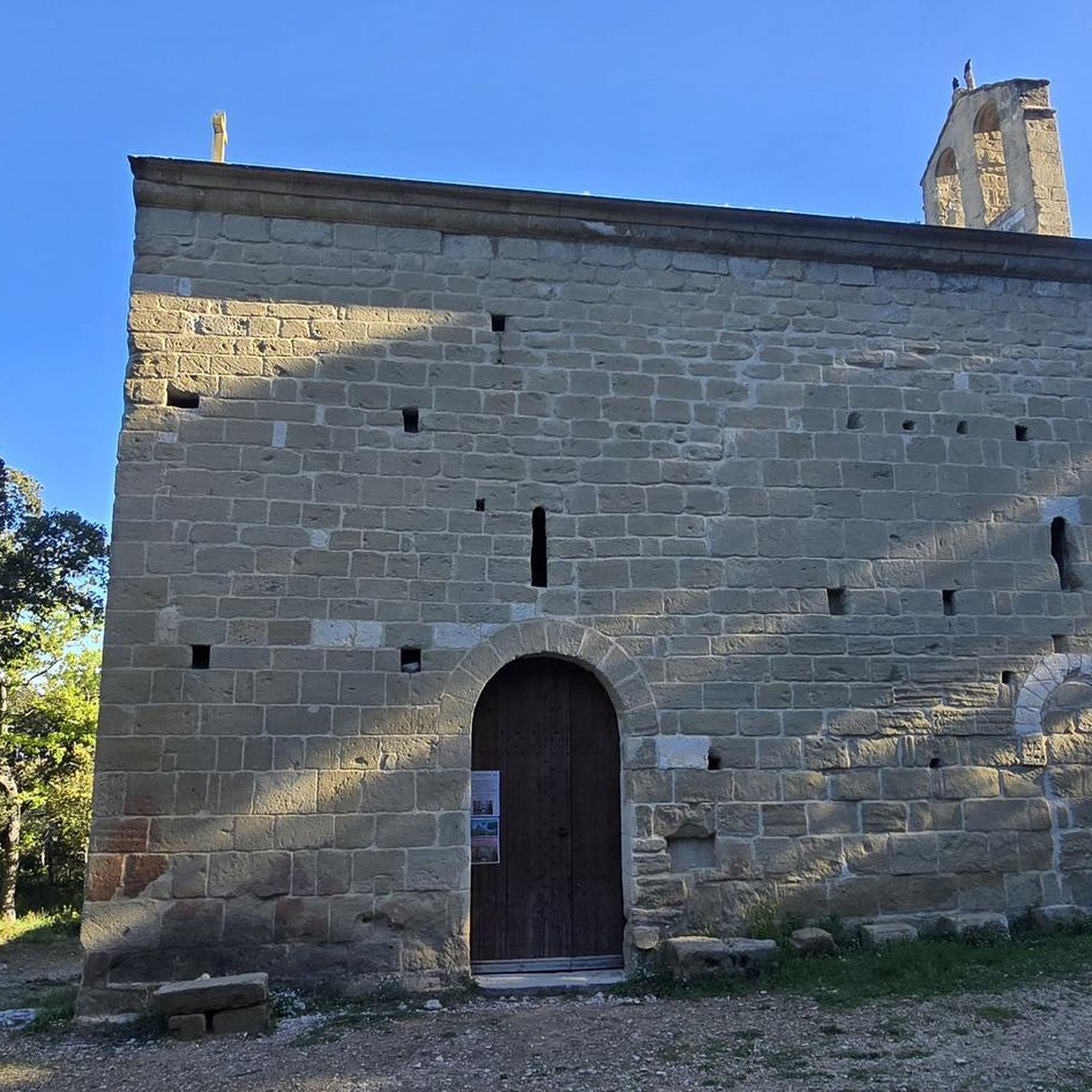
Gravel biking around Bad Lippspringe


Tips from the Community

This climbing opportunity for children was installed about 3 years ago - well done and an enrichment for family outings.
0
0

View of the Hilgenbach from the bridge before the B64
0
0


Extreme caution is advised here! Some sharp stones, deep steps, and often rocky ground. In some places (S3), it might be better to push 😟. Great area.
1
0

Watch out! A man is walking past quickly.
0
0

It's worth a visit during the open-air cinema evenings in the summer. A fantastic experience against this unique backdrop. Equipped with a picnic basket, you can really get comfortable long before the film starts.
2
0

beautiful water games with ball
0
0

The stream with its various branches is an eye-catcher.
11
0
Frequently Asked Questions
What is the typical difficulty level of mountaineering routes around Bad Lippspringe?
The mountaineering routes in Bad Lippspringe offer a range of difficulties. You'll find options from easy, such as the Lippesee – Lippesee loop from Sande, to moderate and even difficult trails like the challenging Falkenburg Castle Ruins – Hermannsdenkmal loop from Horn. This variety ensures there's something for different experience levels.
Are there any circular mountaineering routes in the Bad Lippspringe area?
Yes, many of the mountaineering routes around Bad Lippspringe are designed as circular loops, allowing you to start and end at the same point. For example, the popular Ascent to the Velmerstot Summit – Lippische Velmerstot loop from Leopoldstal is a great circular option.
What kind of terrain can I expect on mountaineering routes near Bad Lippspringe?
The terrain around Bad Lippspringe is quite varied, featuring rolling hills, dense woodlands, and open heathland. You'll encounter paths through forests, across open fields, and some ascents to viewpoints like the Velmerstot Summit.
What are some notable natural landmarks or attractions I can see along the routes?
Mountaineering routes in the area often pass by significant natural and historical landmarks. You might encounter the impressive Externsteine rock formations, the serene Lippesee, or the expansive Lippische Velmerstot upland heath. The Falkenburg castle ruins are also a prominent historical site.
How long do the mountaineering routes typically take to complete?
The duration of the routes varies significantly. Shorter, moderate trails like the Trappistenhof – Glassmakers' Monument, Bad Driburg loop from Bad Driburg can be completed in under 3 hours, while more challenging and longer routes, such as the Falkenburg Castle Ruins – Hermannsdenkmal loop from Horn, may take 6-7 hours.
Is it possible to bring dogs on the mountaineering trails in Bad Lippspringe?
Generally, dogs are welcome on most public trails in the Bad Lippspringe region. However, it's always advisable to keep them on a leash, especially in nature reserves, near wildlife, or when passing through agricultural areas. Please be mindful of local regulations and other hikers.
Are there any easy mountaineering routes suitable for families with children?
Yes, for families or those seeking a less strenuous experience, the Lippesee – Lippesee loop from Sande is an easy option. It offers a pleasant walk around the lake with minimal elevation gain, making it suitable for most ages and fitness levels.
What is the best time of year for mountaineering in Bad Lippspringe?
Spring and autumn are often considered ideal for mountaineering in Bad Lippspringe, offering pleasant temperatures and beautiful scenery as the foliage changes or blooms. Summer is also popular, but be prepared for warmer weather. Winter mountaineering is possible, but some paths might be muddy or icy, requiring appropriate gear.
Are there places to stop for refreshments or rest along the mountaineering routes?
While specific cafes directly on every trail are not guaranteed, the region around Bad Lippspringe has various villages and towns where you can find cafes, restaurants, and guesthouses. Some routes might also pass by designated shelters or huts, such as the Landschutz Hut on Preußischer Velmerstot, offering a place to rest.
What do other mountaineers say about the routes in Bad Lippspringe?
The mountaineering routes in Bad Lippspringe are highly regarded by the komoot community, with an average rating of 4.5 stars. Users often praise the varied landscape, the well-maintained paths, and the opportunity to explore both natural beauty and historical sites like the Falkenburg Castle Ruins.
Are there any less-trafficked or 'hidden gem' routes for a quieter experience?
While the main routes are popular, you can often find quieter sections by exploring some of the slightly less-known trails. The Velmerstot Upland Heath – Lippische Velmerstot loop from Leopoldstal, for instance, offers a chance to immerse yourself in the heathland, which can be very peaceful outside of peak times.
Most popular routes around Bad Lippspringe
Most popular attractions around Bad Lippspringe

Get inspired with the komoot mobile app


Explore more
Browse the best Mountain Hikes & Routes in other regions.
