The best running trails around Truchtersheim
4.4
(81)
4,246
runners
33
runs
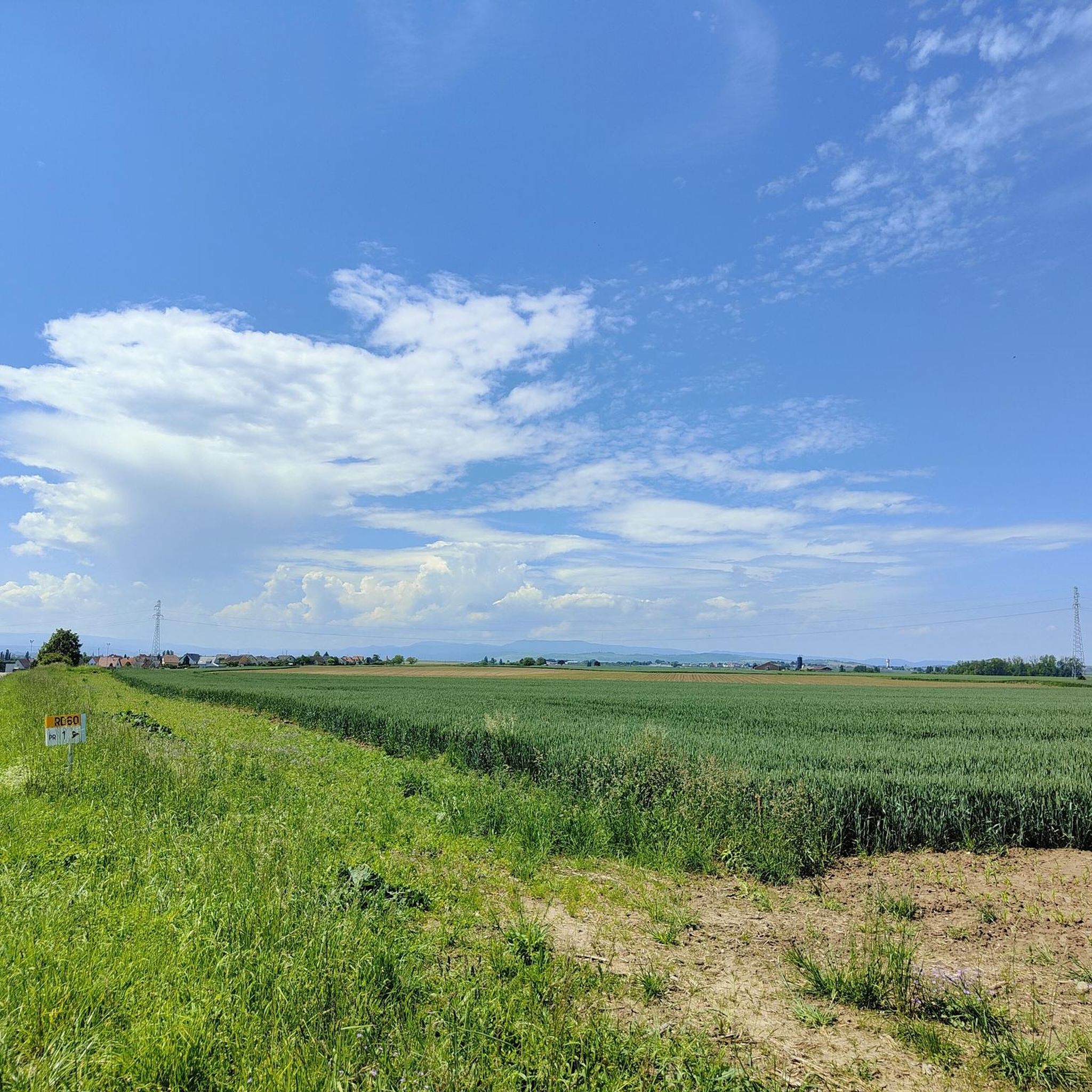
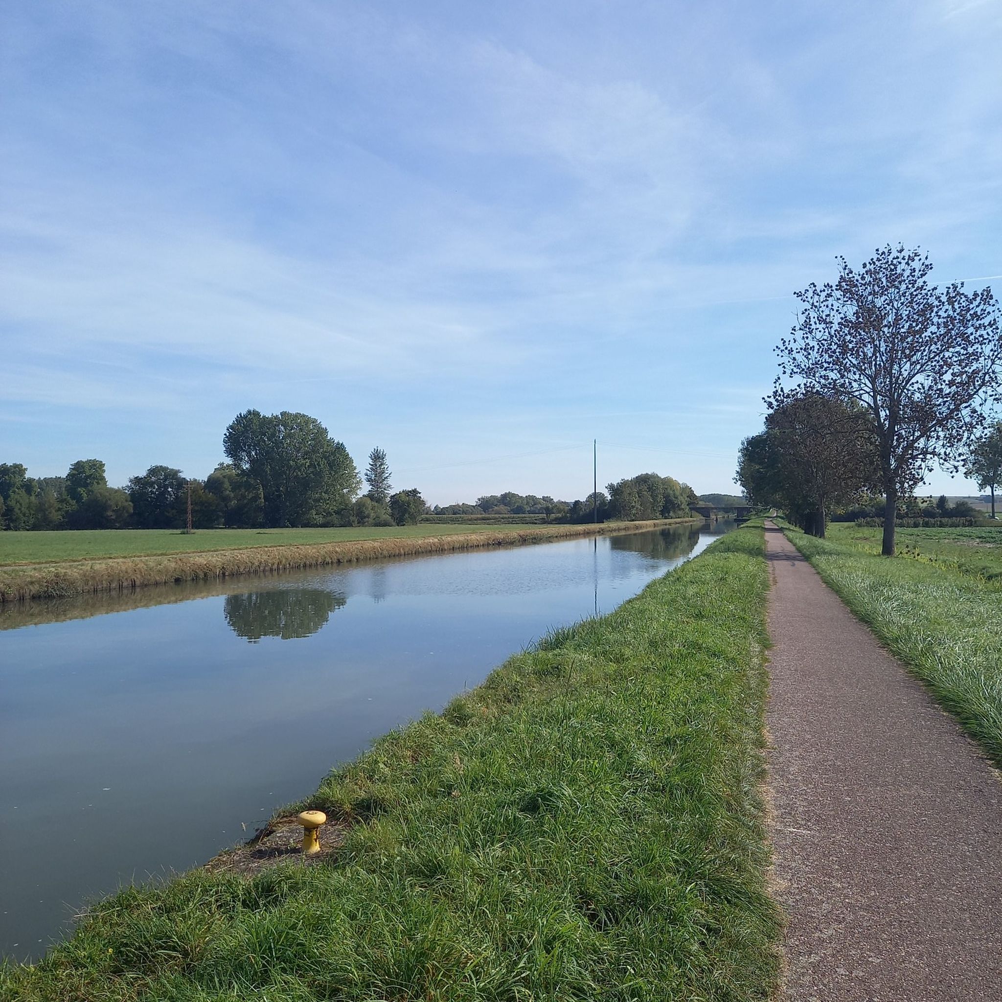
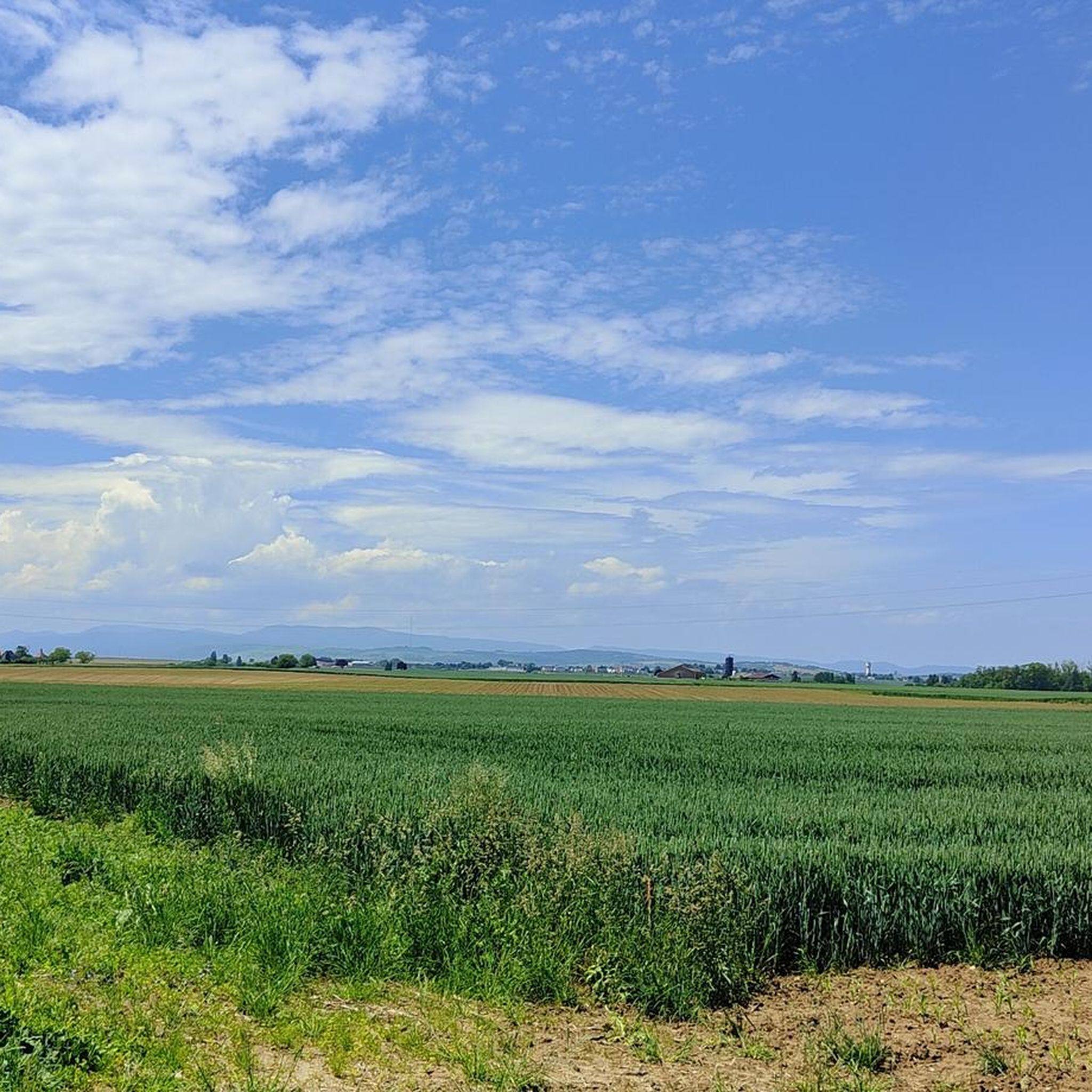
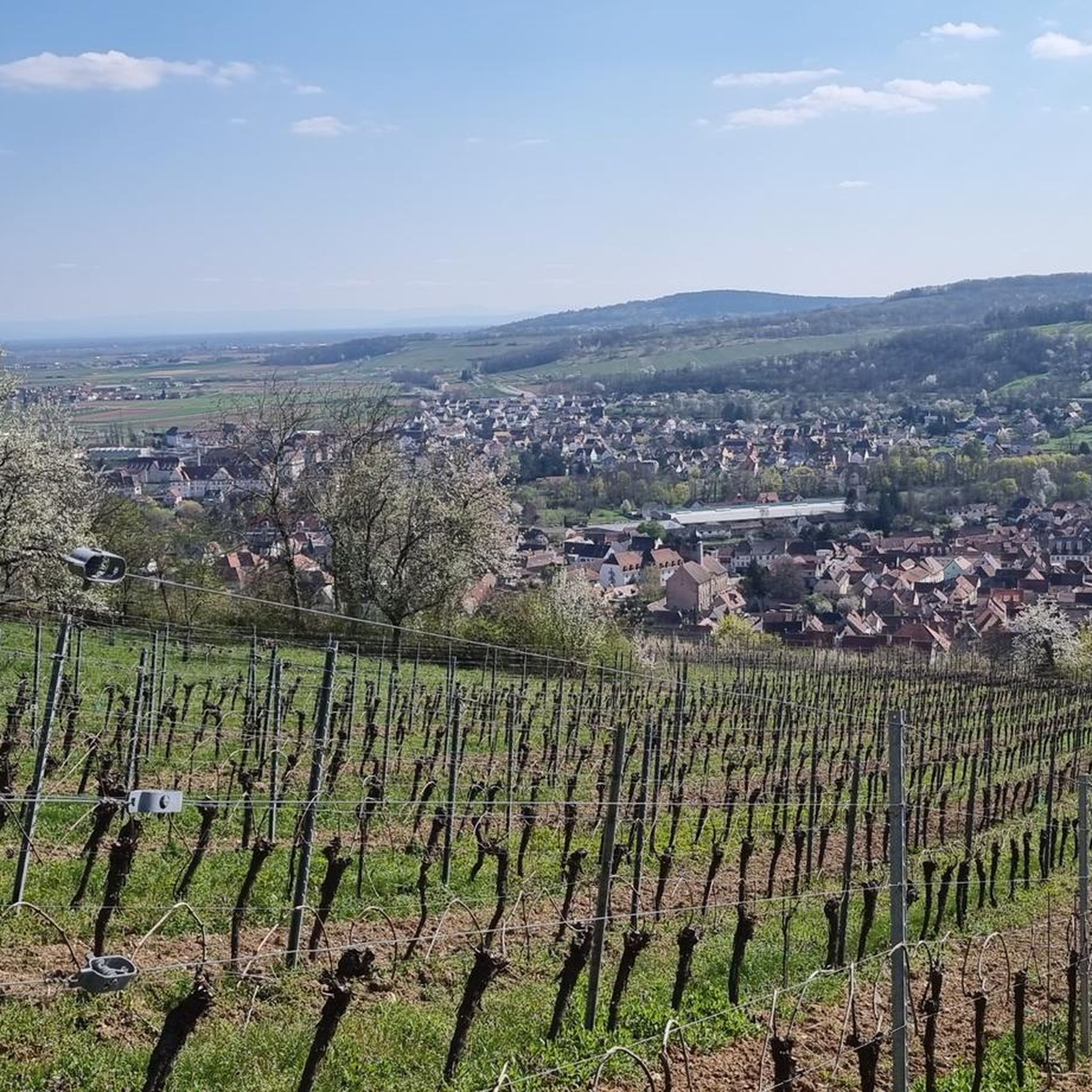
Jogging around Truchtersheim offers diverse terrain across the picturesque Kochersberg region of Alsace. The area features a blend of open fields, rolling hills, and loess terraces, providing varied landscapes for runners. Routes often follow paths along the Souffel River, offering flat sections, while local hills like Goeftberg and Stephansberg provide opportunities for more challenging inclines. An eco-educational park along the Avenheimerbach also includes a fitness trail for exercise.
Best jogging routes around Truchtersheim
- The most popular jogging route is 5km_SCHNERSHEIM…
Last updated: May 14, 2026
5.0
(1)
41
runners
9.07km
00:59
60m
60m
Moderate run. Good fitness required. Mostly paved surfaces. Suitable for all skill levels.
24
runners
6.97km
00:47
60m
60m
Moderate run. Good fitness required. Mostly paved surfaces. Suitable for all skill levels.

Sign up for free
11
runners
10.1km
01:06
70m
70m
Moderate run. Good fitness required. Mostly paved surfaces. Suitable for all skill levels.
5
runners
9.97km
01:08
80m
80m
Moderate run. Good fitness required. Mostly paved surfaces. Suitable for all skill levels.
8
runners
12.6km
01:21
100m
110m
Moderate run. Good fitness required. Mostly paved surfaces. Suitable for all skill levels.
Get access to more routes and recommendations from other explorers.
Sign up for free
Already have an account?
Our route recommendations are based on thousands of hikes, rides, and runs completed by other people on komoot.
Start today with a free account
Your next adventure awaits.
Login or Signup
Frequently Asked Questions
How many running routes are available around Truchtersheim?
There are over 35 diverse running routes around Truchtersheim, catering to various fitness levels. You'll find a mix of easy, moderate, and challenging trails to explore the picturesque Kochersberg region.
What kind of terrain can I expect on running trails in Truchtersheim?
The running trails in Truchtersheim offer a varied landscape, characterized by picturesque fields, rolling hills, and loess terraces. Many routes feature mostly paved surfaces, with options to run along the tranquil banks of the Souffel River or tackle more challenging inclines on local hills like Goeftberg and Stephansberg.
Are there any easy or beginner-friendly running routes in the area?
Yes, Truchtersheim offers several easy running options. While most routes are moderate, there are 4 trails specifically rated as easy, perfect for beginners or a relaxed jog. These often follow flatter sections, such as those along the Souffel River.
Can I find challenging running trails with significant elevation gain near Truchtersheim?
While the region is known for rolling hills, most routes have moderate elevation changes. For a more rigorous workout, you can explore trails that ascend local hills like Goeftberg and Stephansberg. There is one route specifically rated as difficult, offering a greater challenge for experienced runners.
Are the running routes around Truchtersheim suitable for families or running with kids?
Yes, many of the routes, especially the easier ones or those with mostly paved surfaces, are suitable for families. Additionally, the eco-educational park along the Avenheimerbach features a fitness trail, a biotope, a pond, and a playground, making it a versatile spot for exercise and relaxation with children.
Are there any dog-friendly running paths in Truchtersheim?
The rural nature of the Kochersberg region generally makes many paths suitable for running with dogs, provided they are kept under control. Always ensure to follow local regulations regarding pets on trails and be mindful of agricultural areas.
What are some scenic viewpoints or landmarks I might encounter on a run?
While running, you'll enjoy panoramic views of the Alsatian landscape, including fields and rolling hills. From certain vantage points, you might even catch glimpses of Strasbourg and the Black Forest. The eco-educational park along the Avenheimerbach is also a notable feature. For specific points of interest, consider exploring highlights like the Canal de la Bruche cycle path or the Lock House No. 3 – Cyclists' Refreshment Stop, which can be integrated into longer excursions.
Are there circular running routes available in Truchtersheim?
Yes, many of the running routes around Truchtersheim are designed as loops, allowing you to start and finish at the same point. A popular example is the 5km_SCHNERSHEIM loop from Truchtersheim, which covers approximately 9.1 km and explores the varied terrain of the Kochersberg region.
Where can I park my car when accessing running trails in Truchtersheim?
Parking is generally available in and around Truchtersheim, particularly near the starting points of popular routes or in village centers. Specific parking information for individual routes can often be found on their respective komoot tour pages.
What do other runners say about their experience jogging in Truchtersheim?
The running routes in Truchtersheim are highly rated by the komoot community, with an average score of 4.4 stars from over 70 reviews. Runners often praise the diverse terrain, the scenic rural landscape, and the well-maintained paths that offer a mix of flat sections and gentle inclines.
Are there any cafes or refreshment stops near the running routes?
While Truchtersheim itself offers amenities, specific cafes directly on the running routes might be limited. However, the Lock House No. 3 – Cyclists' Refreshment Stop, located along the Canal de la Bruche, is a known spot for refreshments that could be incorporated into a longer run or visited nearby.
What is the best time of year to go running in Truchtersheim?
Truchtersheim offers enjoyable running conditions throughout much of the year. Spring and autumn provide pleasant temperatures and beautiful scenery with blooming fields or colorful foliage. Summer mornings and evenings are also ideal to avoid the midday heat. Winter running is possible, but be mindful of potential icy conditions on paths.
Can I find running routes that follow a river or water body?
Yes, several running paths in Truchtersheim follow the banks of the Souffel River, offering tranquil and relatively flat sections. These riverside routes provide a refreshing experience and are often popular for their scenic beauty.
Are there any eco-educational parks or fitness trails for running?
Absolutely! Truchtersheim features an eco-educational park situated along the Avenheimerbach. This 4-hectare park includes a dedicated fitness trail, a biotope, a pond, and a playground, making it an excellent location for a varied run or a family outing.
Most popular routes around Truchtersheim
Most popular attractions around Truchtersheim

Get inspired with the komoot mobile app


Explore more
Browse the best Running Trails & Routes in other regions.
