The best road cycling routes around Truchtersheim
4.4
(898)
16,176
riders
391
rides
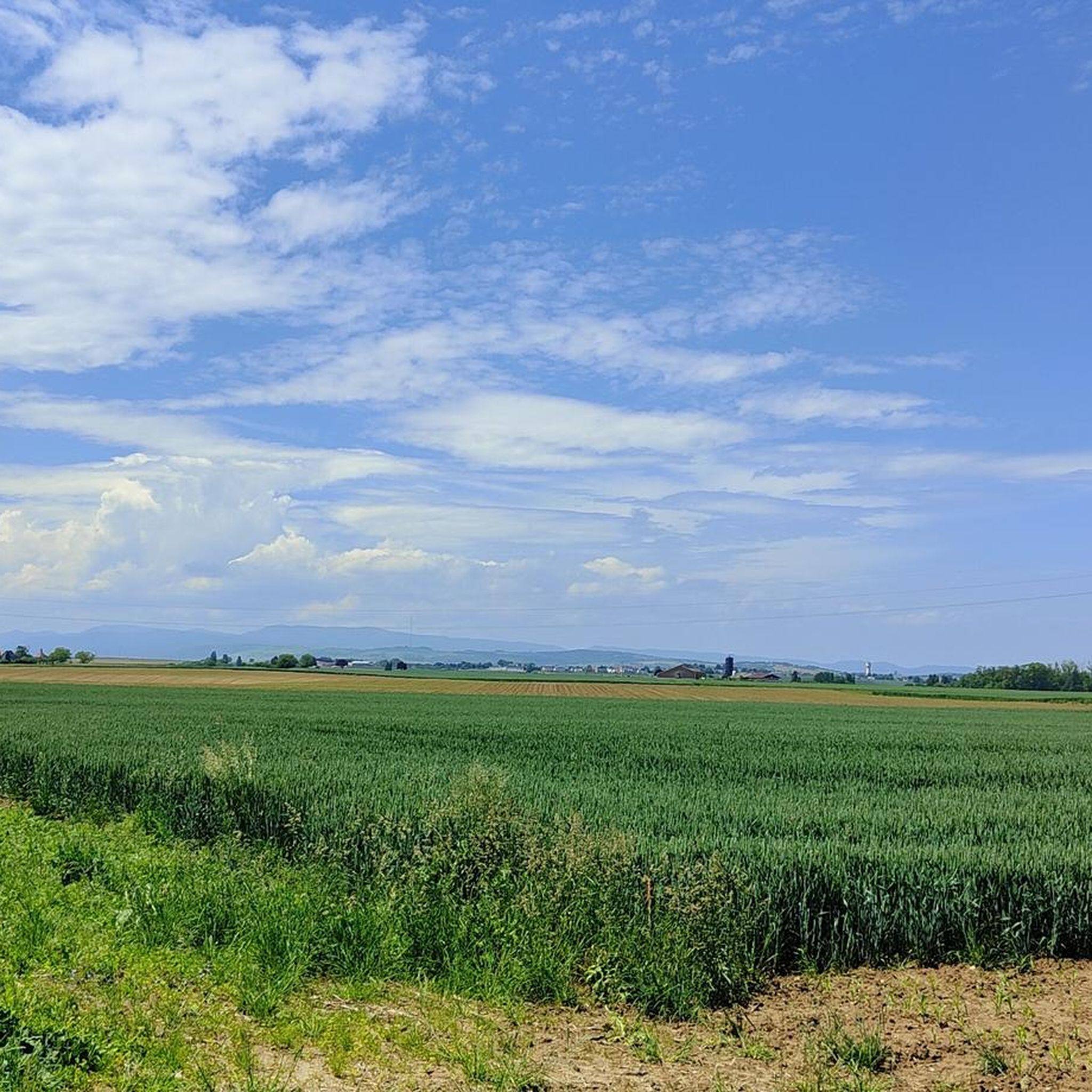
Road cycling routes around Truchtersheim traverse the Kochersberg region, characterized by expansive agricultural lands and rolling countryside. The area provides varied terrain, from flatter sections through fields to gentle climbs through low hills. Truchtersheim's location also offers access to the nearby Alsace Wine Route, featuring picturesque vineyards, and more challenging ascents in the Vosges Mountains.
Best road cycling routes around Truchtersheim
- The most popular road cycling route is Piste des Forts – Oberhausbergen telecom antenna loop from Truchtersheim, a 13.7 miles (22.0 km) trail that takes about 58 minutes to complete. This easy route follows part of the historic fortified belt around Strasbourg.
- Another top favourite among local road cyclists is Saverne – Saverne loop from Wiwersheim, a moderate 44.0 miles (70.8 km) path. It offers varied terrain through the Kochersberg region, often completed in about 3 hours 17 minutes.
- Local road cyclists also love the Romanswiller, Molsheim – Marmoutier Abbey Church loop from Truchtersheim, a 37.9 miles (61.1 km) trail leading through charming villages and agricultural landscapes, often completed in about 2 hours 43 minutes.
- Road cycling around Truchtersheim is defined by agricultural plains, rolling hills, and proximity to vineyard landscapes. The network offers options for different ability levels, from easy loops to more challenging climbs.
- The routes in Truchtersheim are highly rated by the komoot community with an average score of 4.4 stars from over 700 reviews. More than 14,000 road cyclists have used komoot to explore Truchtersheim's varied terrain.
Last updated: July 8, 2026
4.8
(4)
59
riders
22.1km
00:59
170m
170m
Easy road ride. Great for any fitness level. Mostly well-paved surfaces and easy to ride.
4.7
(3)
73
riders
36.1km
01:29
190m
190m
Easy road ride. Great for any fitness level. Mostly well-paved surfaces and easy to ride.

Sign up for free
3.0
(2)
35
riders
70.0km
03:04
510m
510m
Moderate road ride. Good fitness required. Mostly well-paved surfaces and easy to ride.
4.0
(1)
26
riders
Moderate road ride. Good fitness required. Mostly well-paved surfaces and easy to ride.
3.0
(1)
30
riders
Moderate road ride. Good fitness required. Mostly well-paved surfaces and easy to ride.
Get access to more routes and recommendations from other explorers.
Sign up for free
Already have an account?
Our route recommendations are based on thousands of hikes, rides, and runs completed by other people on komoot.
Start today with a free account
Your next adventure awaits.
Login or Signup

Tips from the Community

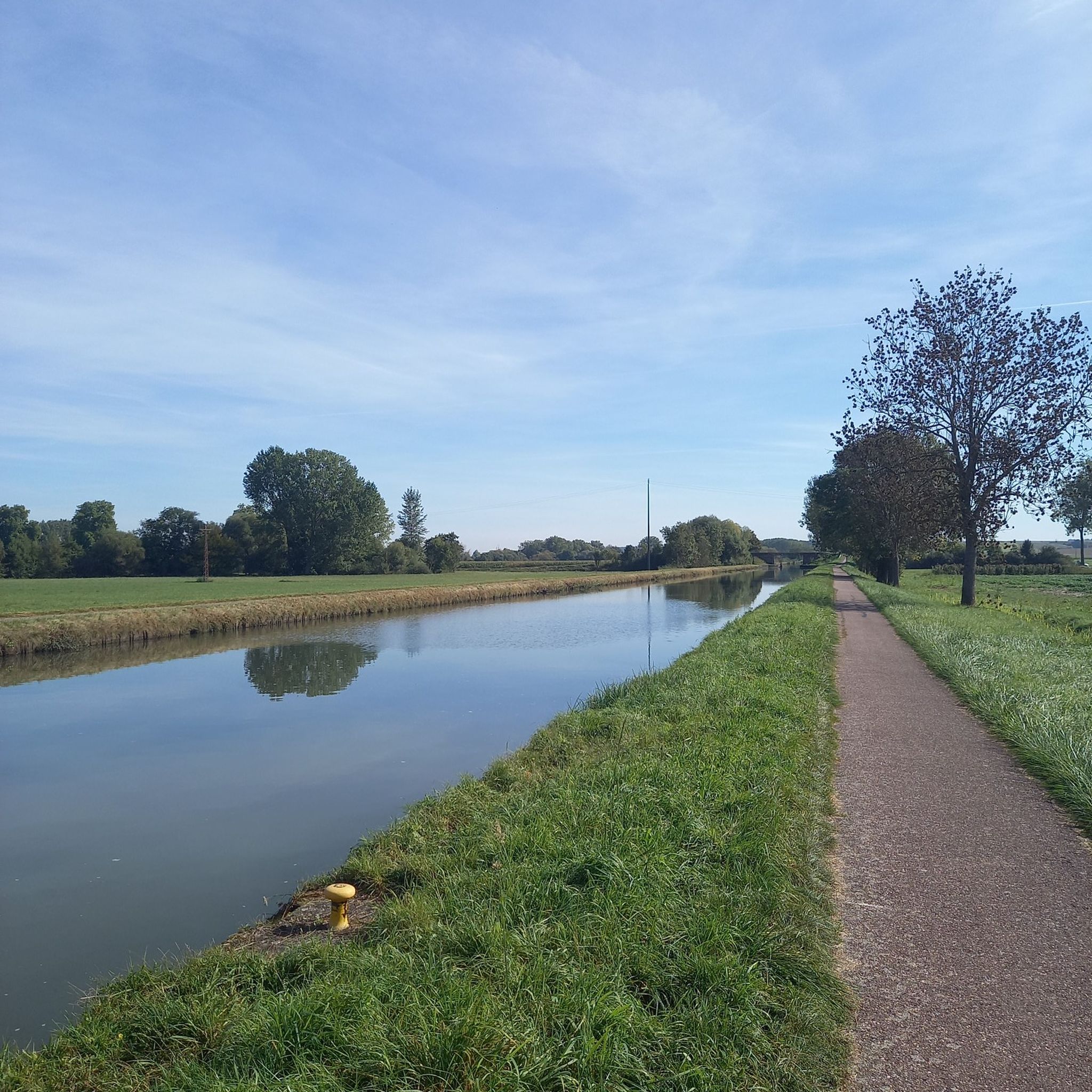
The Canal de la Bruche is a canal in eastern France that originally connected Soultz-les-Bains near Molsheim with the city of Strasbourg. It was built in 1682 by the famous military engineer Vauban, primarily to transport sandstone from the Soultz quarries for the construction of Strasbourg's fortifications.
0
0

We really enjoyed the cycle path along the Canal de la Bruche
0
0

It's pretty, it's practical, it allows you to ride in peace and quiet and to ride fast (flat) but it's not very exciting...
0
0

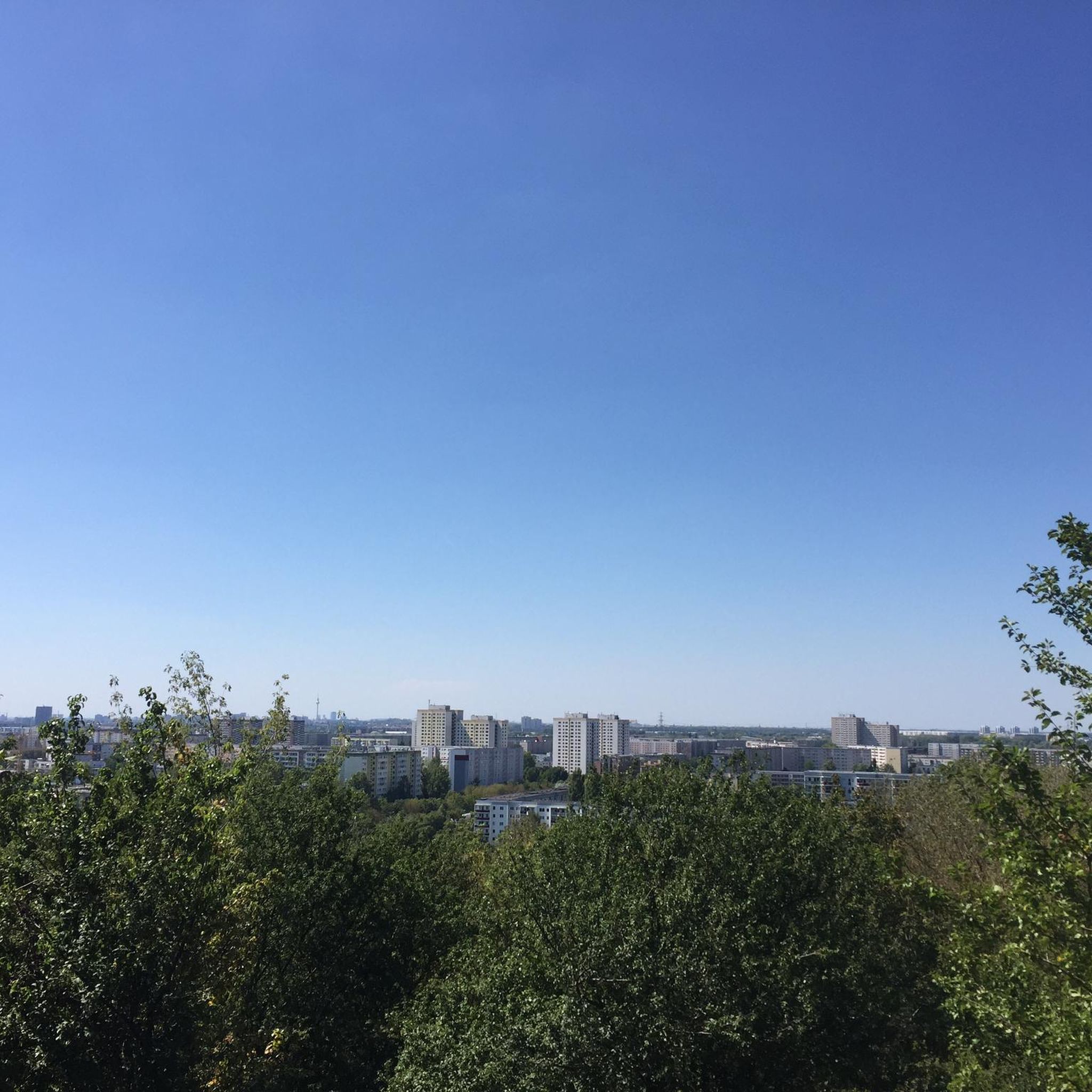
Saverne was already a Roman military post in the 4th century. From the 15th century until the French Revolution, Saverne was the residence of the powerful bishops of Strasbourg. The Château de Rohan, which boasts the longest neoclassical façade of any building in France, still bears witness to this.
1
0
A very stately church with a Romanesque portal and a Gothic nave. It testifies to the once great importance of Marmoutier, a town that is now a rather tranquil place.
0
0

If you don't mind being with lots of other people on the canal, this is the place for you
0
0


www.ravitodescyclos.com A pleasant place to sit and have a small and refreshing drink. In the weekend there are music performances. Ideal for an evening and then walk further to Dompeter and pitch the tent.
0
0
Frequently Asked Questions
How many road cycling routes are available around Truchtersheim?
There are over 390 road cycling routes around Truchtersheim, offering a wide range of options for different skill levels and preferences. This includes 114 easy routes, 248 moderate routes, and 29 more challenging options.
Are there easy road cycling routes suitable for beginners or families in Truchtersheim?
Yes, Truchtersheim offers numerous easy road cycling routes perfect for beginners or families. For instance, the Piste des Forts – Oberhausbergen telecom antenna loop from Truchtersheim is an easy 22 km (13.7 miles) route that follows part of the historic fortified belt around Strasbourg, taking about 58 minutes to complete. The region's extensive cycle path network, including routes along canals like the Bruche Canal, also provides flat and tranquil rides.
What kind of landscapes can I expect to see while road cycling around Truchtersheim?
Road cycling around Truchtersheim offers diverse landscapes. You'll primarily traverse the Kochersberg region, characterized by expansive agricultural lands and rolling countryside. Routes also provide access to the picturesque vineyards of the Alsace Wine Route and, for more challenging rides, the diverse terrain of the Vosges Mountains with their forests and rounded summits.
Are there any longer distance road cycling routes from Truchtersheim?
Yes, for those seeking longer rides, routes like the Saverne – Saverne loop from Wiwersheim cover about 70.8 km (44.0 miles) with moderate difficulty. Another option is the Romanswiller, Molsheim – Marmoutier Abbey Church loop from Truchtersheim, which is 61.1 km (37.9 miles) long and leads through charming villages and agricultural landscapes.
What are some scenic viewpoints or attractions along the road cycling routes?
Many routes offer scenic views of the Kochersberg's agricultural plains and traditional villages. You can also find attractions like the Canal de la Bruche cycle path, which provides tranquil waterside scenery. The region is also known for its well-preserved 16th and 19th-century farms, adding to the scenic beauty.
Are there challenging road cycling routes for advanced cyclists near Truchtersheim?
While the immediate area around Truchtersheim features rolling hills, advanced cyclists can find more challenging experiences by heading towards the Vosges Mountains. This region offers routes with significant elevation gains, including climbs to iconic peaks like Le Grand Ballon or the Col de la Schlucht, which are frequently featured in the Tour de France.
What is the best season for road biking in Truchtersheim?
The region is generally pleasant for road cycling from spring through autumn. Summer offers warm weather for exploring the agricultural plains and vineyards. However, the rolling hills and varied terrain can be enjoyed across these seasons, with spring bringing blooming fields and autumn showcasing vibrant colors.
Are there circular road cycling routes available?
Yes, many of the road cycling routes around Truchtersheim are designed as circular loops, allowing you to start and end your ride in the same location. Examples include the Wingersheim – Hansel and Gretel Murals loop from Wiwersheim, which is a moderate 35.4 km (22.0 miles) route.
What do other road cyclists enjoy most about the routes in Truchtersheim?
The road cycling routes in Truchtersheim are highly rated by the komoot community, with an average score of 4.4 stars from over 790 reviews. Cyclists often praise the varied terrain, from flat sections through fields to gentle climbs, and the picturesque scenery of the agricultural plains and charming villages. The well-developed cycle path network is also frequently appreciated.
Are there options for bike rental in Truchtersheim?
Yes, the Tourist Office in Truchtersheim offers bike rental services, including electric bikes, cargo bikes for families, and longtail bikes. This makes cycling accessible even if you don't have your own equipment, and they can also provide maps and route booklets.
Can I find routes that pass by places to stop for refreshments?
Yes, many routes pass through charming villages where you can find local amenities. Additionally, specific highlights like the Lock House No. 3 – Cyclists' Refreshment Stop along the Canal de la Bruche are known spots for cyclists to take a break and refuel.
Are there routes that explore the Alsace Wine Route from Truchtersheim?
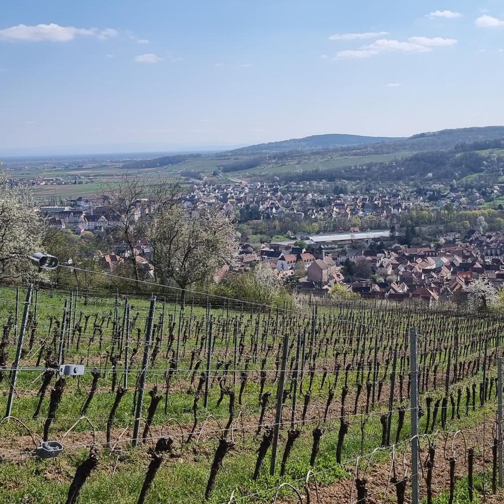
While Truchtersheim is in an agricultural plain, its location provides access to the renowned Alsace Wine Route. Routes like the End of the Alsace Wine Route – Former Romanswiller station loop from Wiwersheim offer a taste of the vineyard landscapes and traditional villages characteristic of this iconic cycling itinerary.
Most popular routes around Truchtersheim
Most popular attractions around Truchtersheim

Get inspired with the komoot mobile app


Explore more
Browse the best Road cycling routes in other regions.
