The best walks and hikes around Salins-Fontaine
4.6
(1200)
12,657
hikers
430
hikes
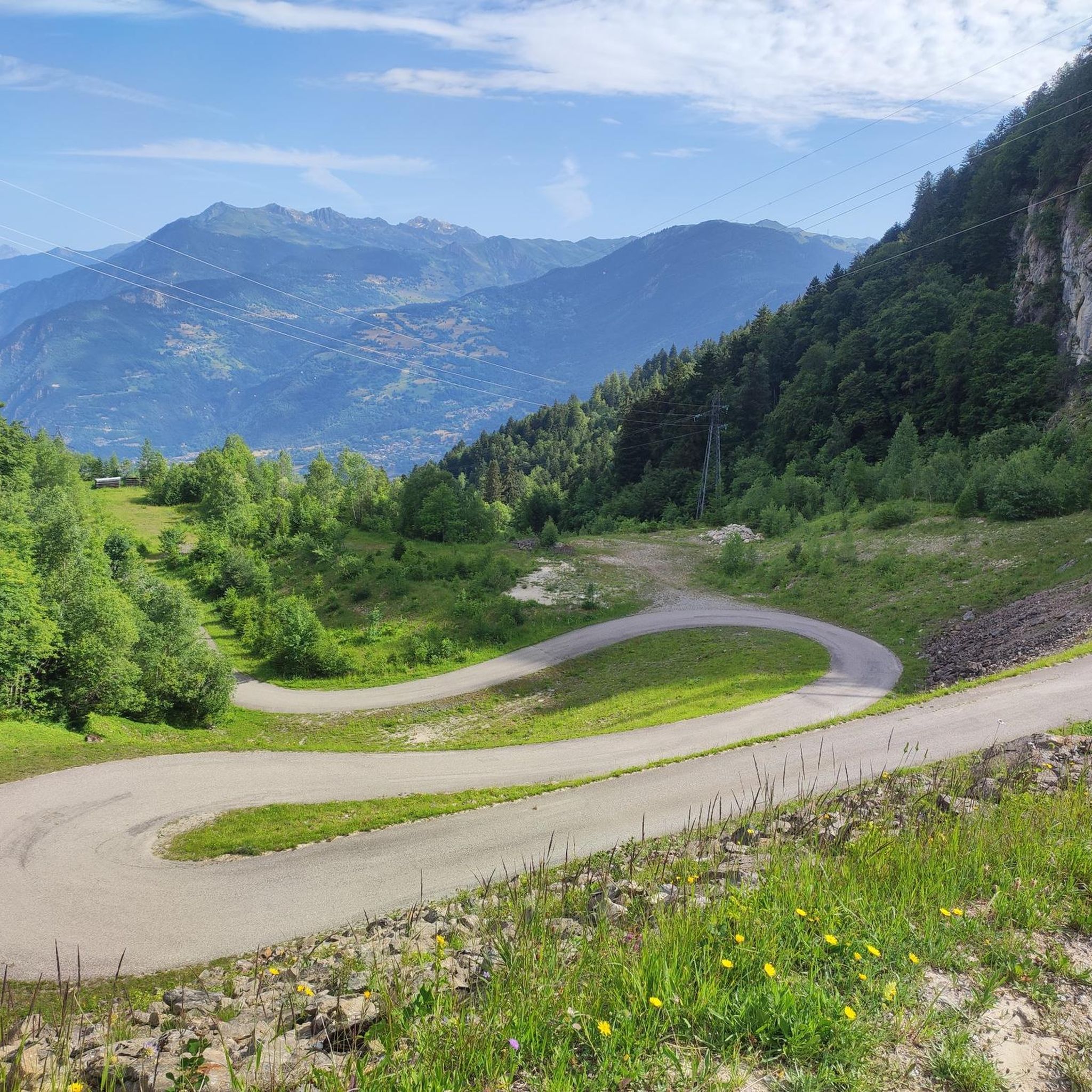
Hiking around Salins-Fontaine offers diverse landscapes within the Tarentaise Valley in Savoie, France. The region features significant mountainous terrain, including views of the Vanoise, Les 3 Vallées, and Mont Blanc summits from various points. Forest trails and paths alongside the Doron de Bozel river characterize the lower elevations, providing varied environments for outdoor exploration. This area serves as a gateway to the Vanoise National Park, presenting a blend of alpine scenery and riverine paths.
Best hiking trails around Salins-Fontaine
- The most popular hiking route is Notre Dame de la Salette et la Croix de Feissons - Loop, an easy 3.7 miles (6.0 km) trail that takes 1 hour 47 minutes to complete. This loop offers views of local landmarks.
- Another top favourite among local hikers is Crève-Tête Loop, a moderate 7.3 miles (11.7 km) path. This route provides an ascent towards the Crève-Tête area, offering broader mountain vistas.
- Local hikers also love the La gorge aux Pigeons – Hiking loop from Salins-Fontaine, a 5.8 miles (9.4 km) trail leading through the Gorge aux Pigeons, often completed in about 2 hours 40 minutes.
- Hiking around Salins-Fontaine is defined by mountain scenery, forest trails, and river paths along the Doron de Bozel. The network offers options for different ability levels, from gentle walks to more challenging ascents.
- The routes in Salins-Fontaine are highly rated by the komoot community with an average score of 4.6 stars from over 1,100 reviews. More than 12,000 hikers have used komoot to explore Salins-Fontaine's varied terrain.
Last updated: July 7, 2026
4.8
(17)
71
hikers
6.00km
01:47
190m
190m
Easy hike. Great for any fitness level. Easily-accessible paths. Suitable for all skill levels.
5.0
(1)
15
hikers
11.7km
04:39
860m
860m
Hike the Crève-Tête Loop, a moderate 7.2-mile trail near Valmorel, offering diverse terrain and 360° views from the summit.

Sign up for free
4.4
(26)
134
hikers
9.43km
02:40
200m
200m
Moderate hike. Good fitness required. Easily-accessible paths. Suitable for all skill levels.
16
hikers
13.2km
05:02
860m
860m
Hard hike. Very good fitness required. Mostly accessible paths. Sure-footedness required.
4.8
(6)
36
hikers
Moderate hike. Good fitness required. Easily-accessible paths. Suitable for all skill levels.
Get access to more routes and recommendations from other explorers.
Sign up for free
Already have an account?
Our route recommendations are based on thousands of hikes, rides, and runs completed by other people on komoot.
Start today with a free account
Your next adventure awaits.
Login or Signup
Popular around Salins-Fontaine
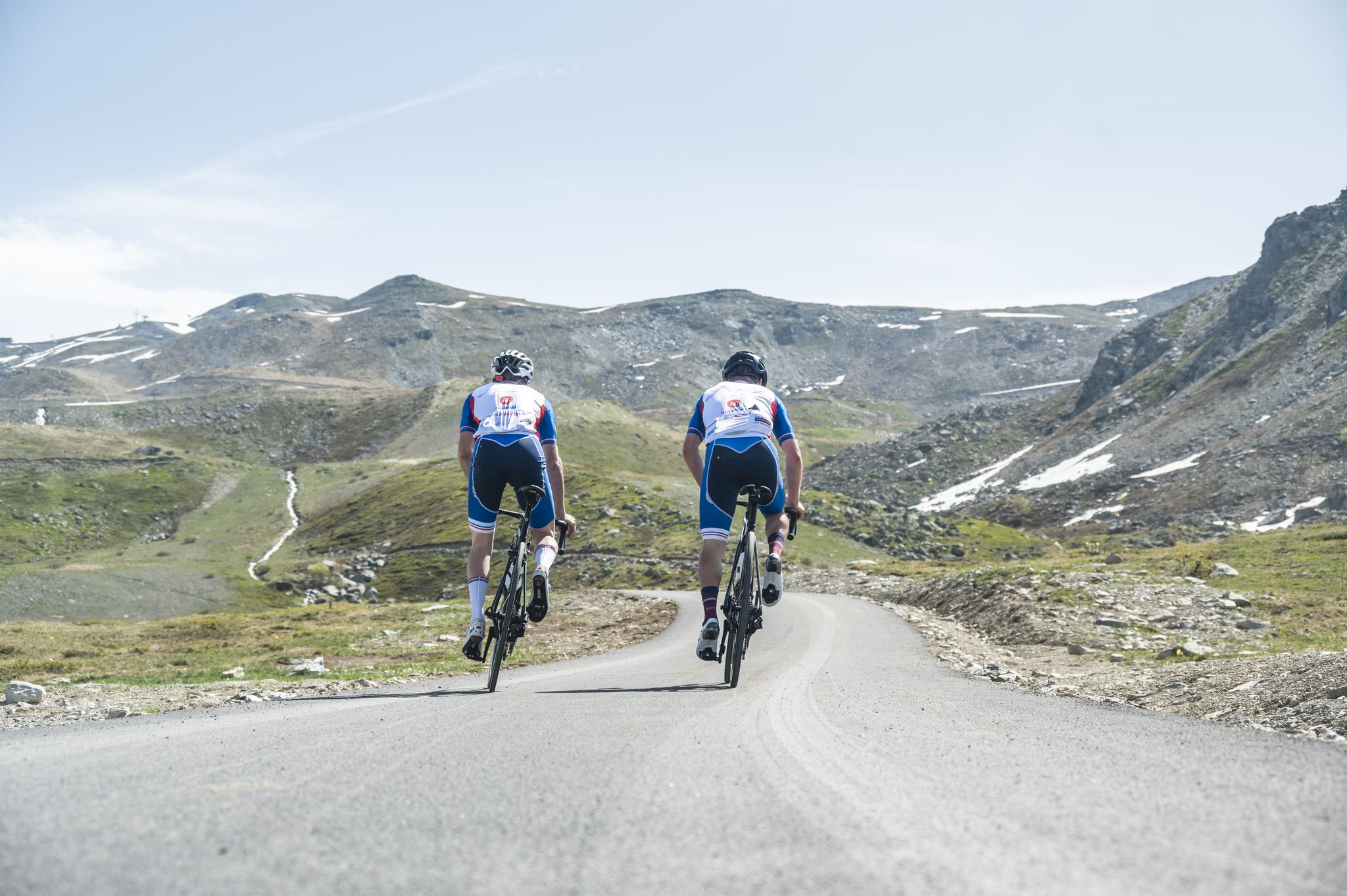
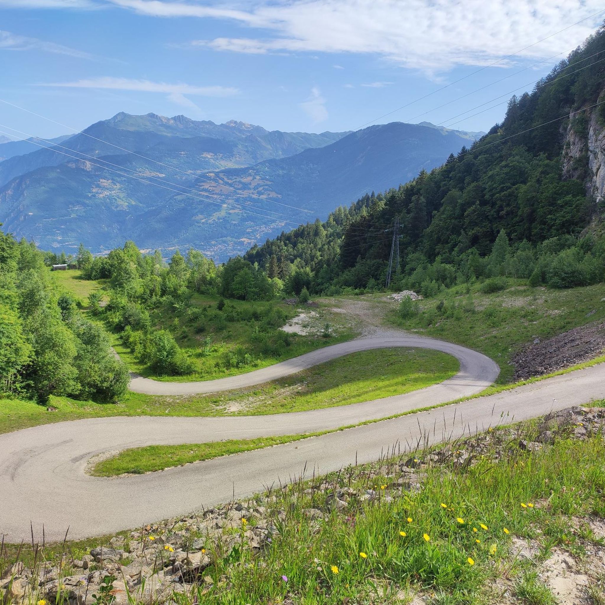
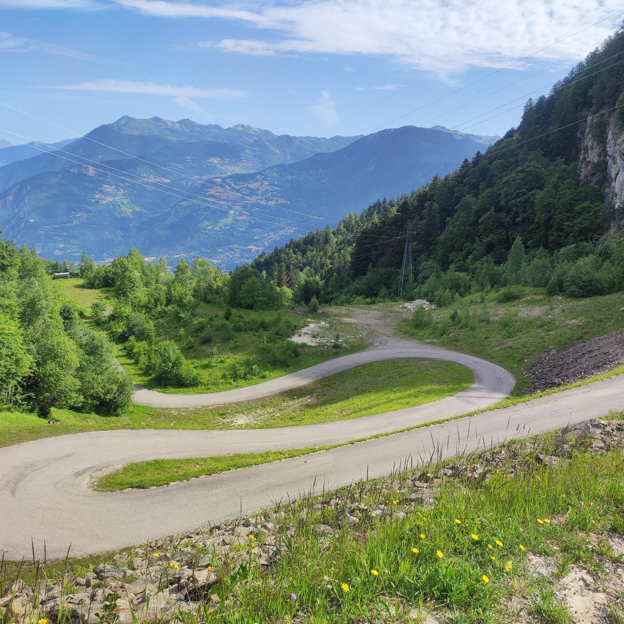
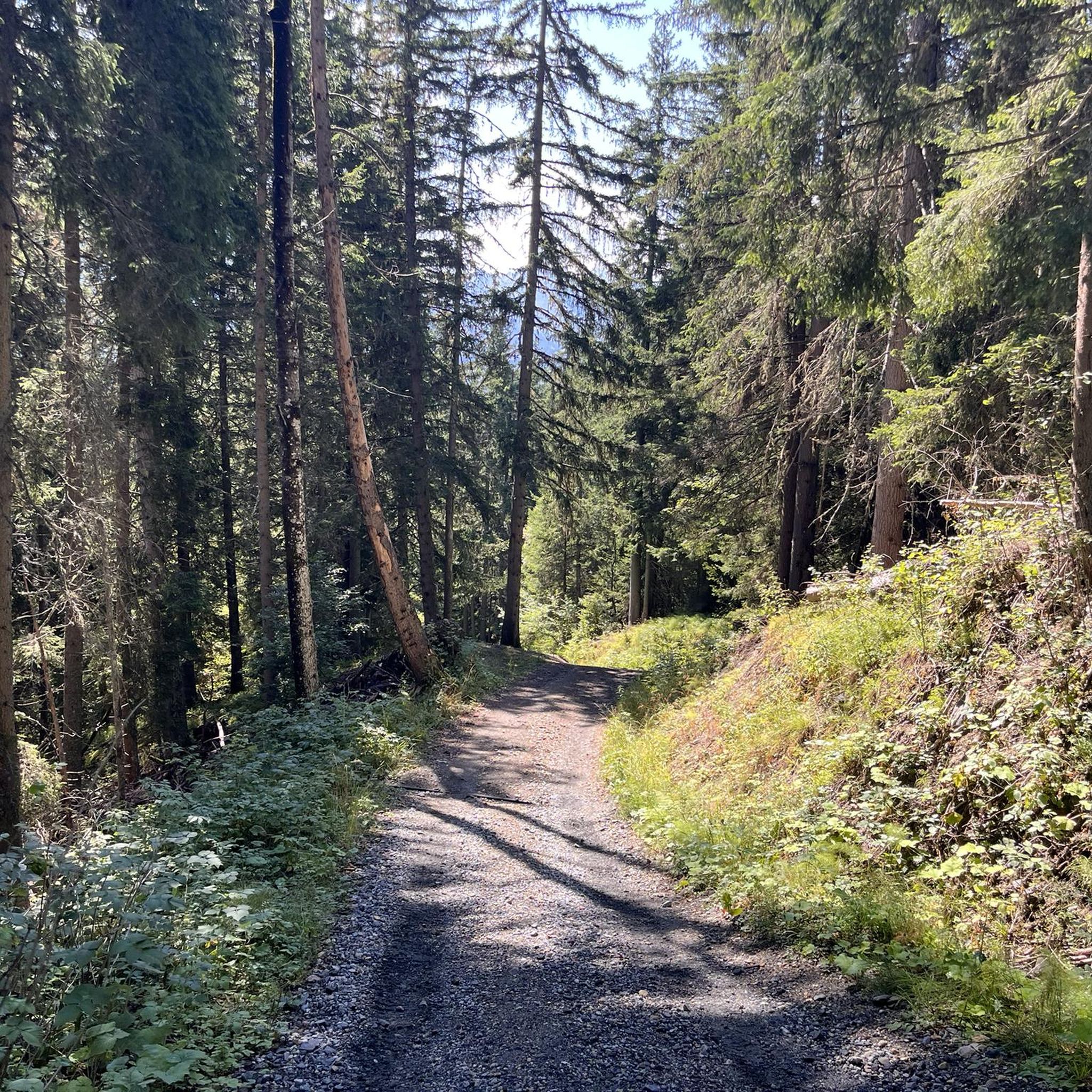


Other adventures around Salins-Fontaine

Tips from the Community

Nice little resort town, many possibilities.
3
0

Easy family walk in the cool air along the Doron de Bozel.
0
0

easy access or via paths crossing passable roads
0
0


Brilliant starting point for any Cyclist looking for weeks of challenges. Mountains allover to choose from - Col de loze - Madeleine - Valmorel - Tougnete - Val Thorens list never stops just keeps giving you options
2
0

The village of Brides-les-Bains is a unique village in France. The town has received the “dietary kitchen” label. It is the only city in France to display this label. The village is also a gateway to the Vanoise park and marks the start of the ascent of the Col de la Loze.
1
0

Very beautiful panorama arrived at the top. The climb does not present great difficulties.
0
0
Frequently Asked Questions
How many hiking trails are available around Salins-Fontaine?
Salins-Fontaine offers a wide variety of hiking opportunities, with over 420 trails to explore. These routes cater to all levels, from easy strolls along the river to more challenging mountain ascents.
Are there easy hiking trails suitable for beginners or families in Salins-Fontaine?
Yes, Salins-Fontaine has numerous easy trails perfect for beginners or families. A great option is the Notre Dame de la Salette et la Croix de Feissons - Loop, an easy 3.7-mile (6.0 km) path. The Doron River Trail, known as "Au fil de l'eau," also offers a pleasant, shaded walk alongside the river, connecting Salins-les-Thermes to Brides-les-Bains, with benches and picnic tables.
What kind of landscapes can I expect to see while hiking in Salins-Fontaine?
Hikers in Salins-Fontaine will experience diverse landscapes, from serene forest trails and river paths along the Doron de Bozel to impressive mountainous terrain. The region offers views of the Vanoise, Les 3 Vallées, and Mont Blanc summits from various vantage points, providing a blend of alpine scenery and lush riverine environments.
Are there any circular hiking routes in Salins-Fontaine?
Yes, many of the trails around Salins-Fontaine are circular, allowing you to start and end at the same point. Popular loop trails include the Notre Dame de la Salette et la Croix de Feissons - Loop and the La gorge aux Pigeons – Hiking loop from Salins-Fontaine.
What are some notable landmarks or viewpoints along the hiking trails?
The region is rich in natural monuments and viewpoints. From Fontaine-le-Puits, you can enjoy extensive vistas of the Vanoise, Les 3 Vallées, and Mont Blanc summits. The Les Belvédères Trail leads to the "Belvédères des Ravières" and the "Pierre de l'Aigle," with an extension to the Pointe du Cuchet offering remarkable views of Mont Blanc and La Grande Casse. You can also explore mountain passes like the Col de la Loze Summit (2304 m).
What do other hikers enjoy most about hiking in Salins-Fontaine?
The hiking routes in Salins-Fontaine are highly rated by the komoot community, with an average score of 4.6 stars from over 1,100 reviews. Hikers often praise the varied terrain, from gentle river walks to challenging mountain ascents, and the stunning panoramic views of the surrounding alpine environment.
Are there any challenging hikes for experienced hikers?
Absolutely. For experienced hikers seeking a challenge, routes like the Crève-Tête Loop, a moderate 7.3-mile (11.7 km) path with significant elevation gain, or the Longecha Summit – View from Crève-Tête loop from Salins-Fontaine, a difficult 8.2-mile (13.2 km) route, offer broader mountain vistas and demanding ascents.
Can I bring my dog on the hiking trails in Salins-Fontaine?
Many trails in Salins-Fontaine are dog-friendly, but it's always recommended to check specific route regulations, especially when entering protected areas or national parks. Generally, forest paths and river trails are suitable for walks with leashed dogs.
What is the best time of year to go hiking in Salins-Fontaine?
The best time for hiking in Salins-Fontaine is typically from late spring to early autumn (May to October), when the weather is mild, and the trails are clear of snow. During these months, you can fully enjoy the diverse landscapes and mountain views. Some lower elevation trails may be accessible in winter, but higher routes will require snowshoeing or specific winter gear.
Are there any huts or refuges available for hikers in the area?
Yes, for those undertaking longer or multi-day hikes, there are several huts and refuges in the vicinity of Salins-Fontaine. Notable options include the Refuge du Mont Jovet and the Refuge of Christ, providing rest stops and overnight accommodation.
Is Salins-Fontaine a good base for exploring the Vanoise National Park?
Yes, Salins-Fontaine is ideally situated as a gateway to the Vanoise National Park. Its location in the Tarentaise Valley provides convenient access to this renowned area, making it an excellent base for exploring the park's extensive network of trails and experiencing its pristine natural environment.
Are there any thermal facilities nearby to relax after a hike?
Yes, Salins-les-Thermes, one of the villages forming Salins-Fontaine, is historically known for its thermal waters. You can find a naturally warm thermal swimming pool there, offering a relaxing complement to active days of hiking.
Most popular routes around Salins-Fontaine
Most popular attractions around Salins-Fontaine

Get inspired with the komoot mobile app


Explore more
Browse the best Hikes in other regions.
