The best gravel rides around Salins-Fontaine
5.0
(4)
92
riders
11
rides
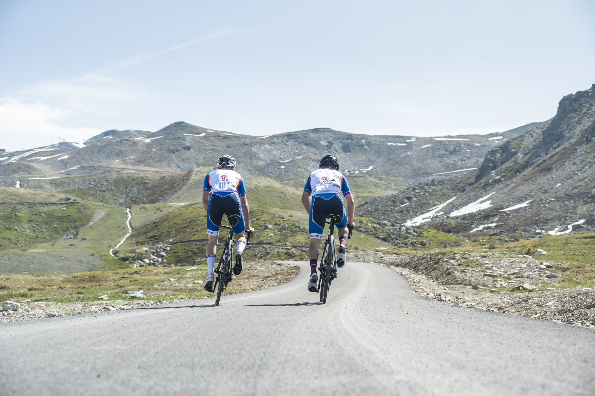
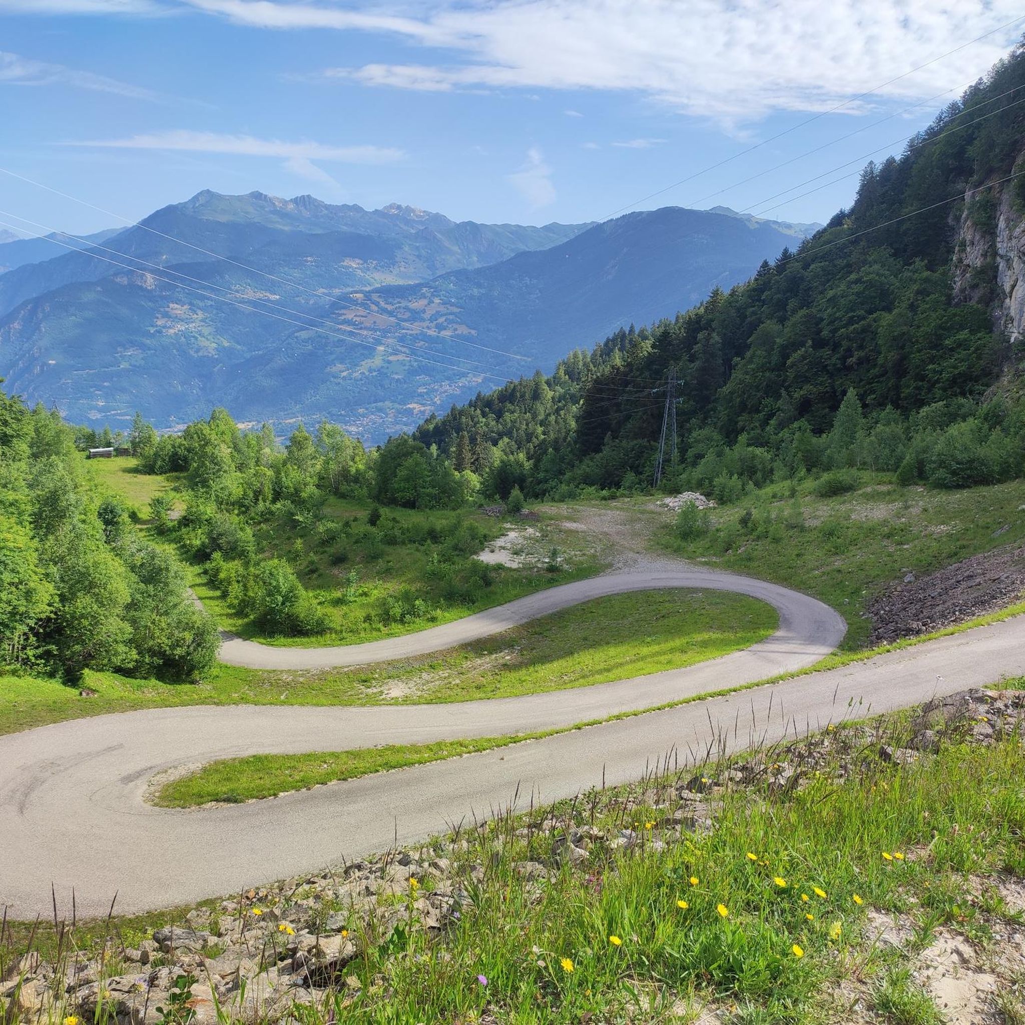
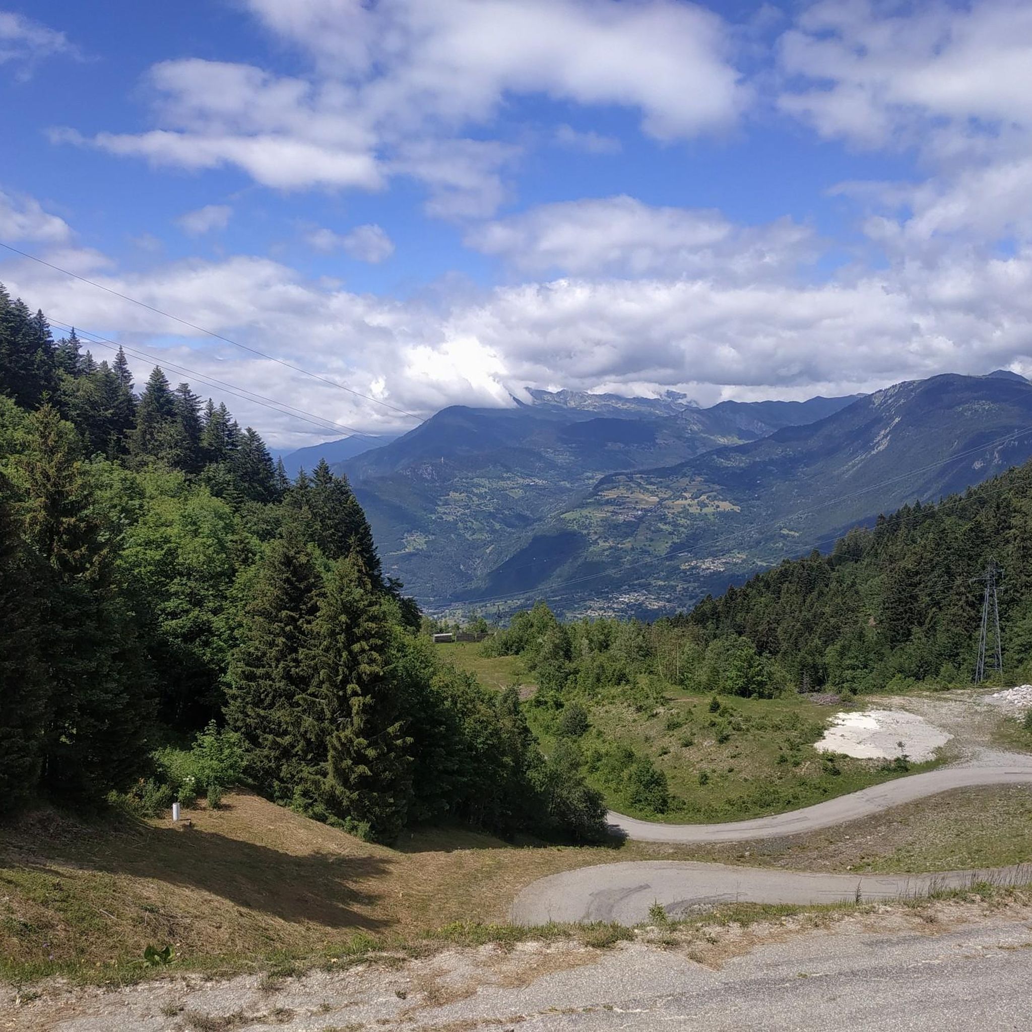
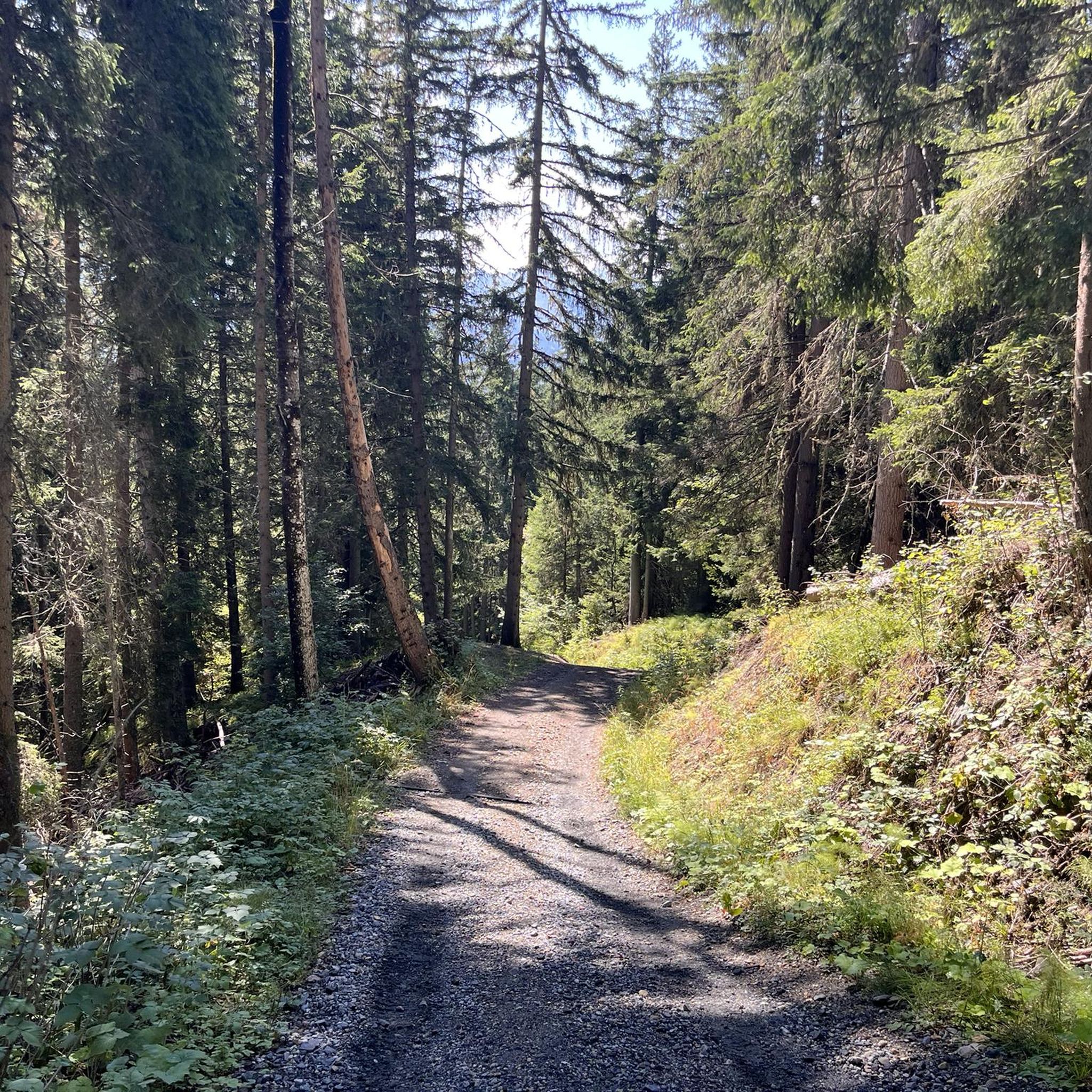
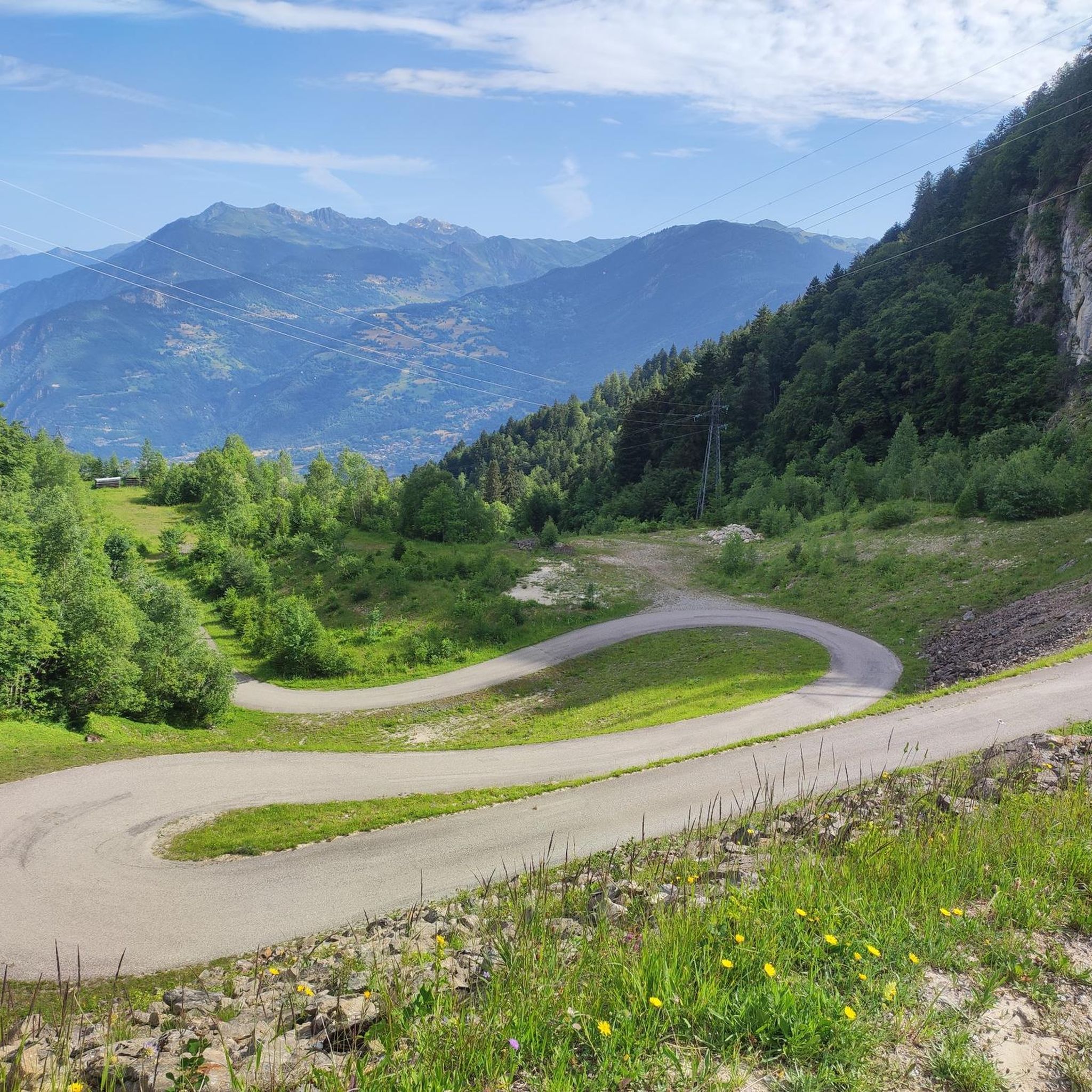
Gravel biking around Salins-Fontaine offers routes through mountainous terrain, characterized by significant elevation gains and high mountain passes. The region features challenging trails that often lead to summits above 2000 meters. These routes frequently involve long ascents and descents, providing a demanding experience for gravel bikers. The landscape is defined by alpine environments and panoramic views from high-altitude passes.
Best gravel bike trails around Salins-Fontaine
- The most popular gravel bike trail is Col de la Loze Summit (2304 m) –…
Last updated: July 4, 2026
5.0
(1)
29
riders
37.8km
03:04
1,200m
1,200m
Hard gravel ride. Very good fitness required. Mostly paved surfaces. Suitable for all skill levels.
7
riders
29.8km
02:52
1,070m
1,070m
Hard gravel ride. Very good fitness required. Mostly paved surfaces. Suitable for all skill levels.

Sign up for free
5.0
(2)
14
riders
32.0km
02:52
1,040m
1,040m
Hard gravel ride. Very good fitness required. Mostly paved surfaces. Suitable for all skill levels.
15
riders
Hard gravel ride. Very good fitness required. Mostly paved surfaces. Suitable for all skill levels.
4
riders
24.5km
02:46
1,040m
1,040m
Hard gravel ride. Very good fitness required. Mostly paved surfaces. Suitable for all skill levels.
Get access to more routes and recommendations from other explorers.
Sign up for free
Already have an account?
Our route recommendations are based on thousands of hikes, rides, and runs completed by other people on komoot.
Start today with a free account
Your next adventure awaits.
Login or Signup

Other adventures around Salins-Fontaine

Tips from the Community

Part of the cycle path with uneven climbs, beautiful views.
2
0
Place on the D915, already suffering from through traffic. Some nice corners and a water source at the town hall.
2
0
Beautiful cycle path, uneven climbs.
0
0
Great views, nice bike path, but uneven in the climbs.
2
0
Path with cycle path and great views. Ascent partly uneven. More info: https://de.wikipedia.org/wiki/Col_de_la_Loze?wprov=sfla1
2
0
Great views and great cycle path. More info: https://de.wikipedia.org/wiki/Col_de_la_Loze?wprov=sfla1
2
0
In winter probably a ski slope, in summer luckily a bike path.
2
0
Difficult for me to assess the place the first time, more of a winter area, luckily no huge hotel castles.
3
0
Frequently Asked Questions
What is the general difficulty level of gravel biking trails around Salins-Fontaine?
Gravel biking around Salins-Fontaine is primarily suited for advanced riders. All 11 routes in the area are classified as difficult, featuring significant elevation gains and high mountain passes, often leading to summits above 2000 meters.
Are there any easy or family-friendly gravel bike trails in Salins-Fontaine?
Due to the mountainous terrain and substantial elevation gains, there are no easy or family-friendly gravel bike trails listed in Salins-Fontaine. All routes are categorized as difficult, making them more suitable for experienced riders seeking a challenge.
What are the typical distances and durations for gravel bike routes in this region?
The gravel bike routes around Salins-Fontaine typically range from about 18.5 miles (29.8 km) to 23.5 miles (37.7 km). Most routes take between 3 to 3.5 hours to complete, depending on the specific trail and your pace.
What kind of scenery can I expect on the gravel bike trails around Salins-Fontaine?
You can expect breathtaking alpine environments and panoramic views from high-altitude passes. The routes offer varied alpine scenery, characterized by challenging climbs and descents through mountainous landscapes.
What do other gravel bikers say about the routes in Salins-Fontaine?
The routes in Salins-Fontaine are highly rated by the komoot community, with an average score of 5.0 stars from over 6 reviews. More than 80 gravel bikers have used komoot to explore the varied and challenging terrain, often praising the demanding climbs and stunning high-mountain views.
Are there any notable landmarks or attractions along the gravel bike routes?
Yes, several routes pass by or offer views of significant landmarks. For instance, you might encounter the Col de la Loze Summit (2304 m), or the Col de la Madeleine. Other points of interest include the Brides-les-Bains settlement and the Refuge du Mont Jovet.
Are there any natural monuments or viewpoints to discover while gravel biking?
Absolutely. You can find stunning natural sights such as the View of the Cascade du Morel, the serene Lac Blanc, and various summits like Longecha Summit and Roc de Fer Summit (Méribel). Don't miss the panoramic vistas from the Croix de Feissons Viewpoint.
What is a recommended loop trail for advanced gravel bikers?
For advanced gravel bikers, the La Loze Pass – Col de la Loze Summit (2304 m) loop from Altiport de Méribel is a highly recommended option. This 19.8-mile (31.8 km) trail leads through high mountain passes and typically takes about 3 hours 20 minutes to complete.
When is the best time of year to go gravel biking in Salins-Fontaine?
Given the high mountain passes and alpine environment, the best time for gravel biking in Salins-Fontaine is typically during the warmer months, from late spring to early autumn, when the passes are clear of snow and ice. Always check local weather and trail conditions before heading out.
Are there any gravel bike routes that start from Bozel?
Yes, a popular and challenging route starting from Bozel is the Notre-Dame des Neiges Chapel – Bozel loop from Bozel. This difficult 18.5-mile (29.8 km) path includes over 1000 meters of ascent through varied alpine scenery.
Can I find any gravel bike routes that involve the Col de la Loze?
Many routes in the area feature the iconic Col de la Loze. For example, the Col de la Loze – Col de la Loze Summit (2304 m) loop from Altiport de Méribel is a challenging 18.4-mile (18.4 km) trail that offers significant elevation gain to the summit.
Is there a gravel bike route that starts from Courchevel and goes to Col de la Loze Summit?
Yes, you can tackle the Col de la Loze Summit (2304 m) – Route du Col de la Loze loop from Courchevel. This 36.4-mile (36.4 km) route is a demanding ride with over 1200 meters of elevation gain, typically taking around 3 hours 40 minutes.
Most popular routes around Salins-Fontaine
Most popular attractions around Salins-Fontaine

Get inspired with the komoot mobile app


Explore more
Browse the best Gravel rides in other regions.
