The best mountain hikes in the Märkischer Kreis
4.8
(5)
12
hikers
6
hikes
Mountaineering routes in the Märkischer Kreis traverse a landscape characterized by rolling hills, dense forests, and picturesque river valleys within Germany's Sauerland mountain range. The region features diverse terrain, including areas with unique rock formations and karst landscapes. Elevations reach up to 700 meters at Nordhelle, offering expansive views. These routes provide opportunities to explore the natural beauty of the Ebbegebirge and Homert nature parks.
Best mountaineering routes in the Märkischer Kreis
- The most popular mountaineering route is Hagen Bismarck…
Last updated: August 16, 2026
5.0
(1)
1
hikers
Hard mountaineering route. Very good fitness required. Mostly accessible paths. Sure-footedness required.
5.0
(1)
1
hikers
11.3km
03:13
260m
260m
Moderate mountaineering route. Good fitness required. Easily-accessible paths. Suitable for all skill levels.

Sign up for free
4.0
(2)
5
hikers
Moderate mountaineering route. Good fitness required. Easily-accessible paths. Suitable for all skill levels.
2
hikers
5.14km
01:27
110m
110m
Easy mountaineering route. Great for any fitness level. Easily-accessible paths. Suitable for all skill levels.
5.0
(1)
2
hikers
Easy mountaineering route. Great for any fitness level. Easily-accessible paths. Suitable for all skill levels.
1
hikers
14.4km
03:58
250m
250m
Moderate mountaineering route. Good fitness required. Easily-accessible paths. Suitable for all skill levels.
Moderate mountaineering route. Good fitness required. Easily-accessible paths. Suitable for all skill levels.
Our route recommendations are based on thousands of hikes, rides, and runs completed by other people on komoot.
Start today with a free account
Your next adventure awaits.
Login or Signup
Popular around Märkischer Kreis
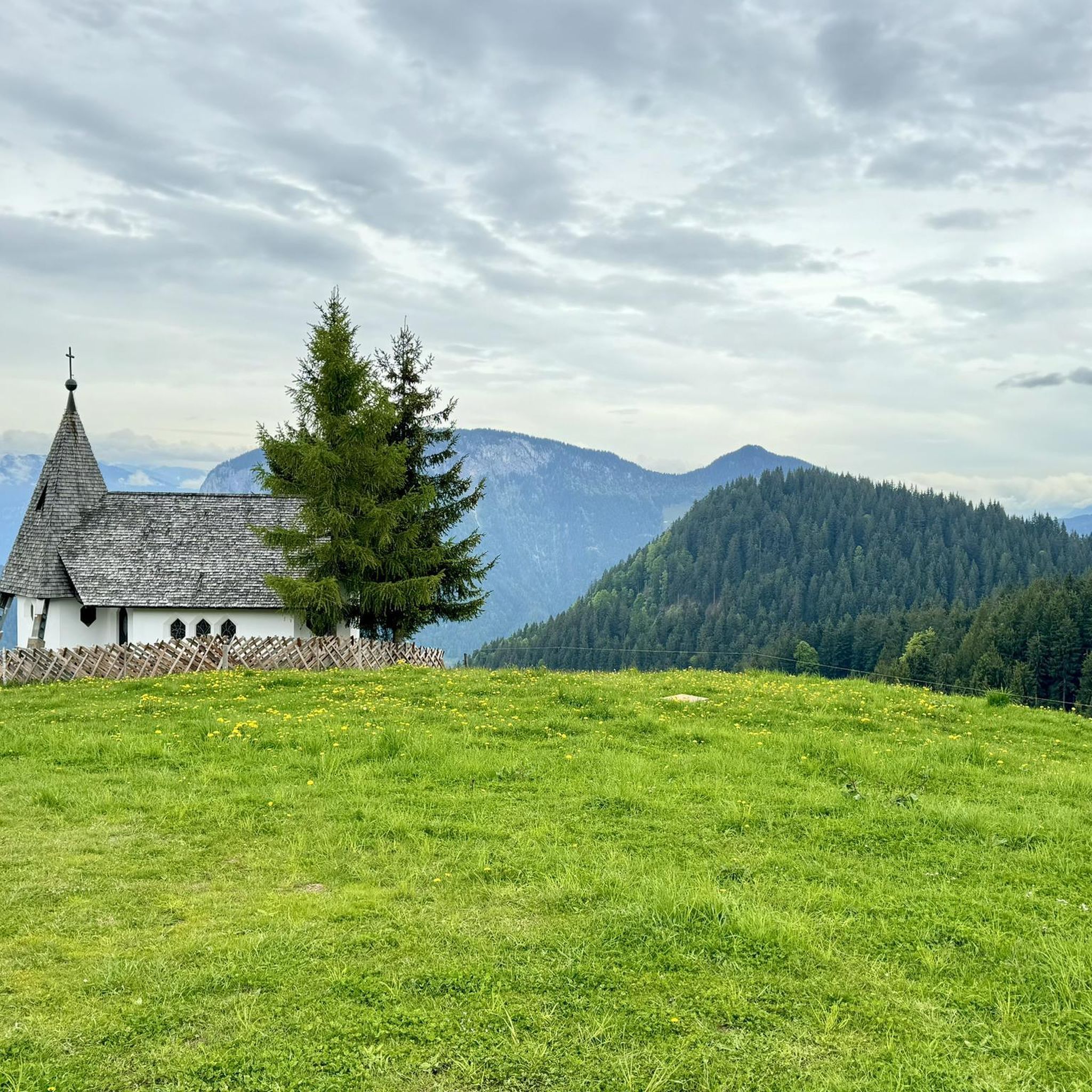
Mountain Hikes around Neuenrade

Mountain Hikes around Balve
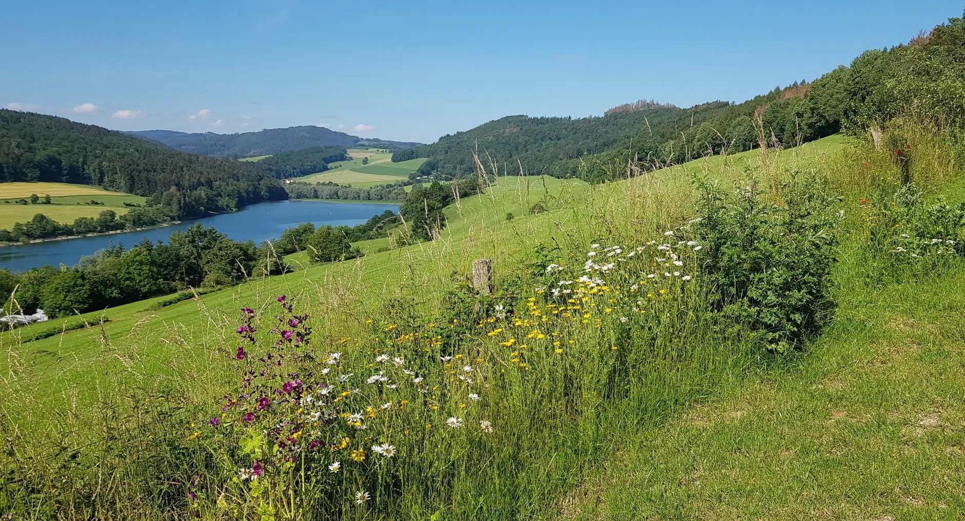
Germany's Sauerland Forest Route – Views and discoveries
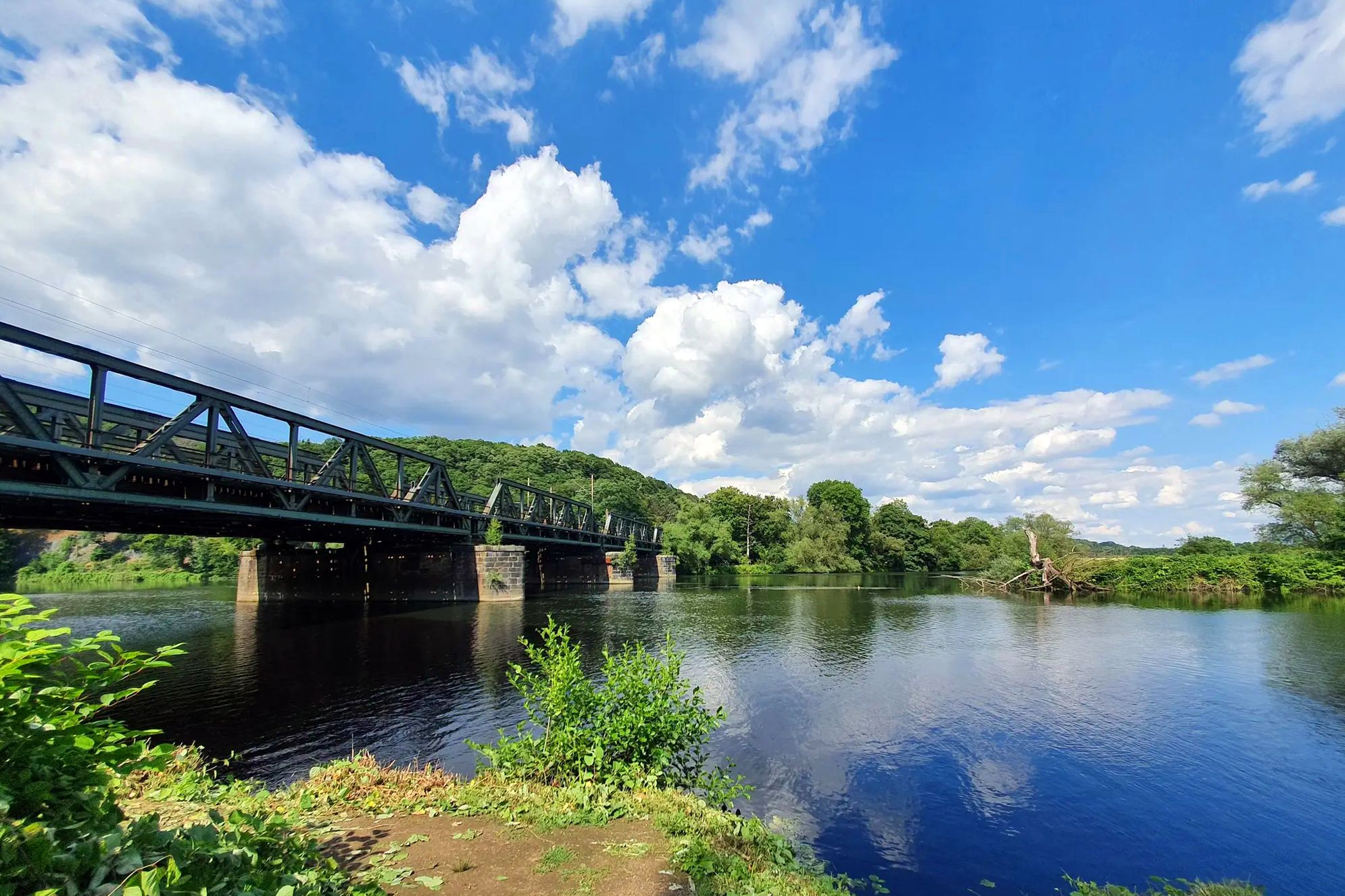
The Lenneroute – From mountains to the Ruhr through the Sauerland
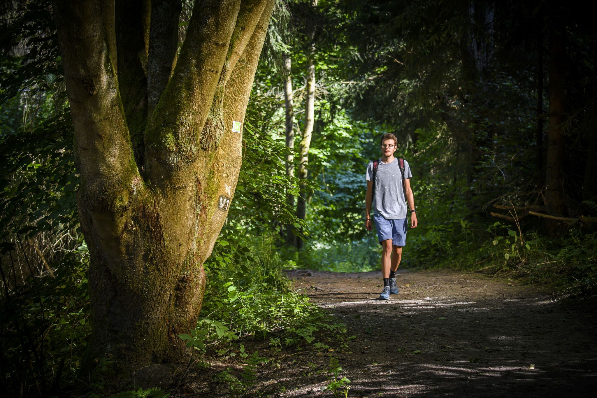
High trails and deep views – hiking in the Märkisches Sauerland
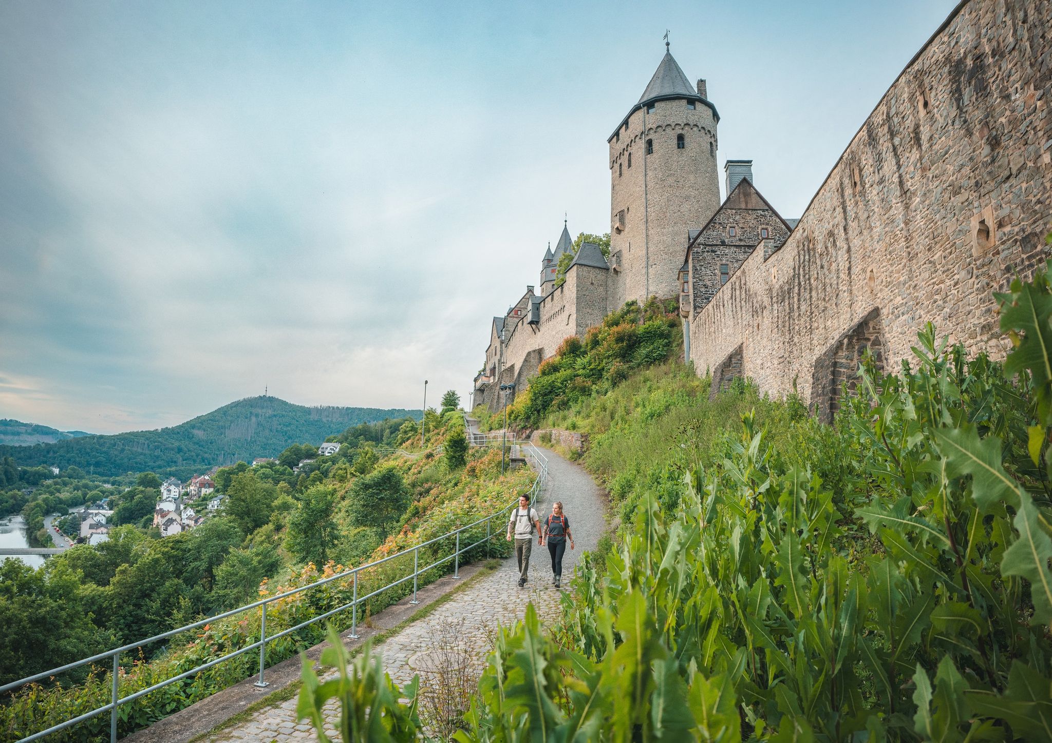
One Way Wanderlust: hiking in the Sauerland by public transport
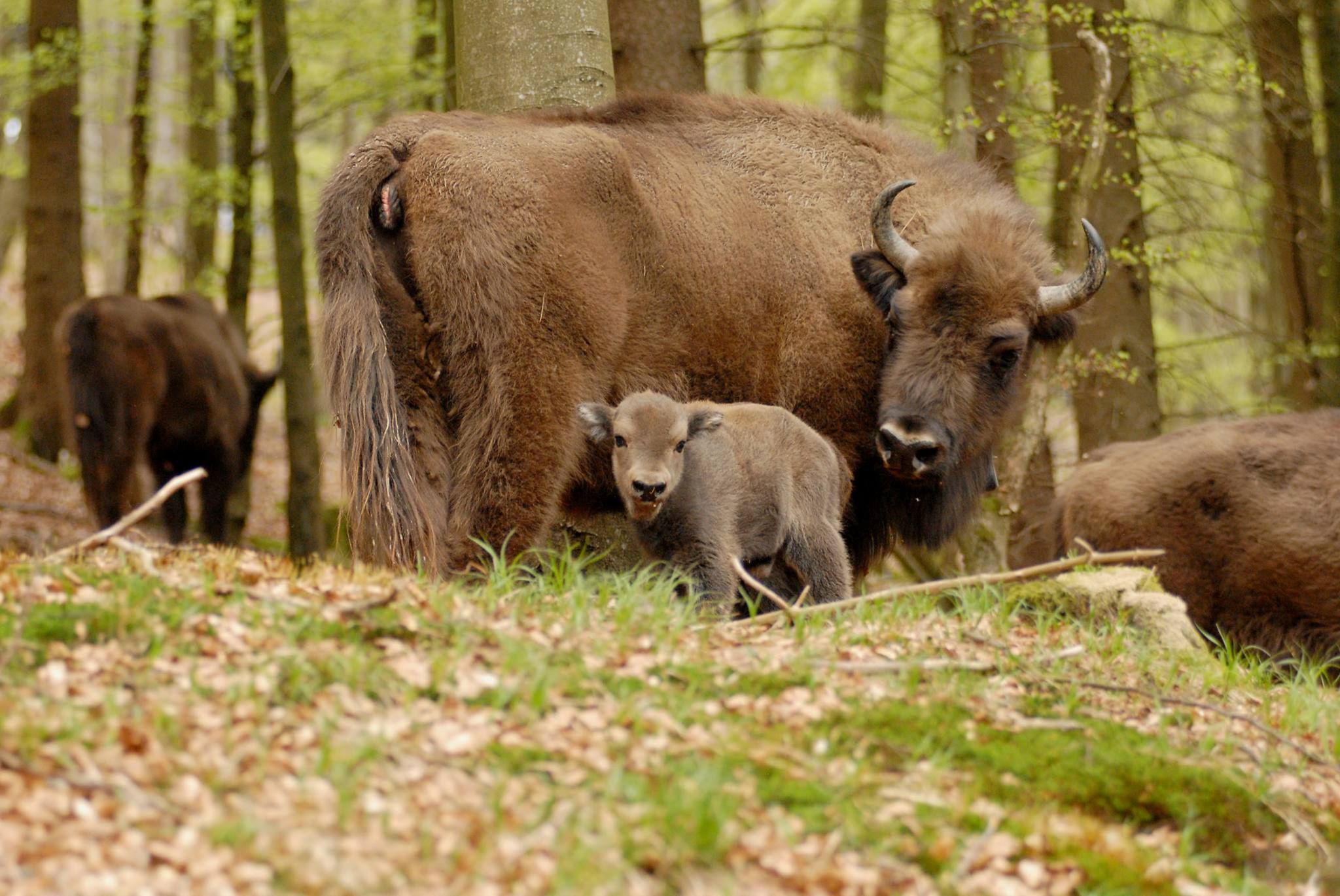
Wild Sauerland - Animal Encounters While Hiking
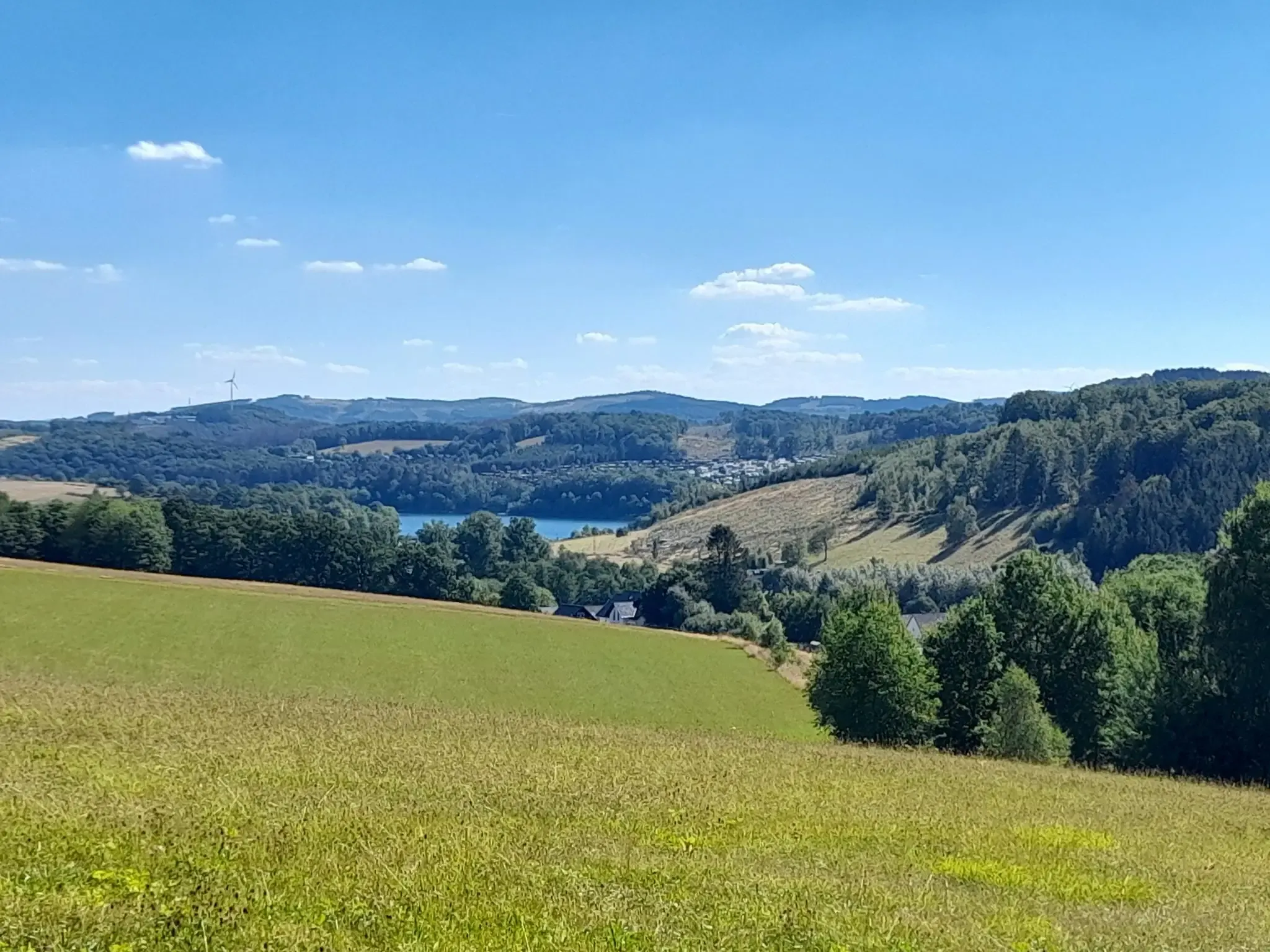
The big D: forest paths and water views in southern Sauerland
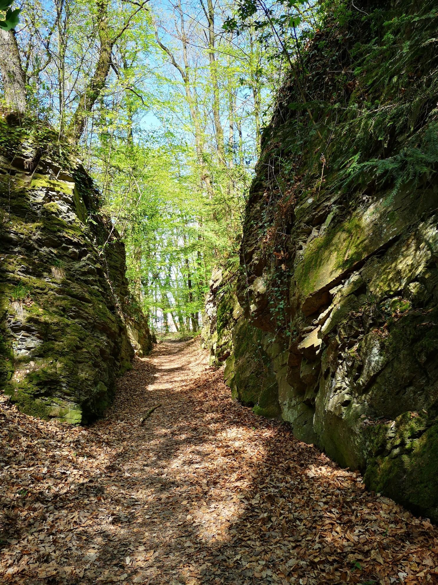
Between Seilersee and Danzturm - Trailrunning Trilogy around Iserlohn
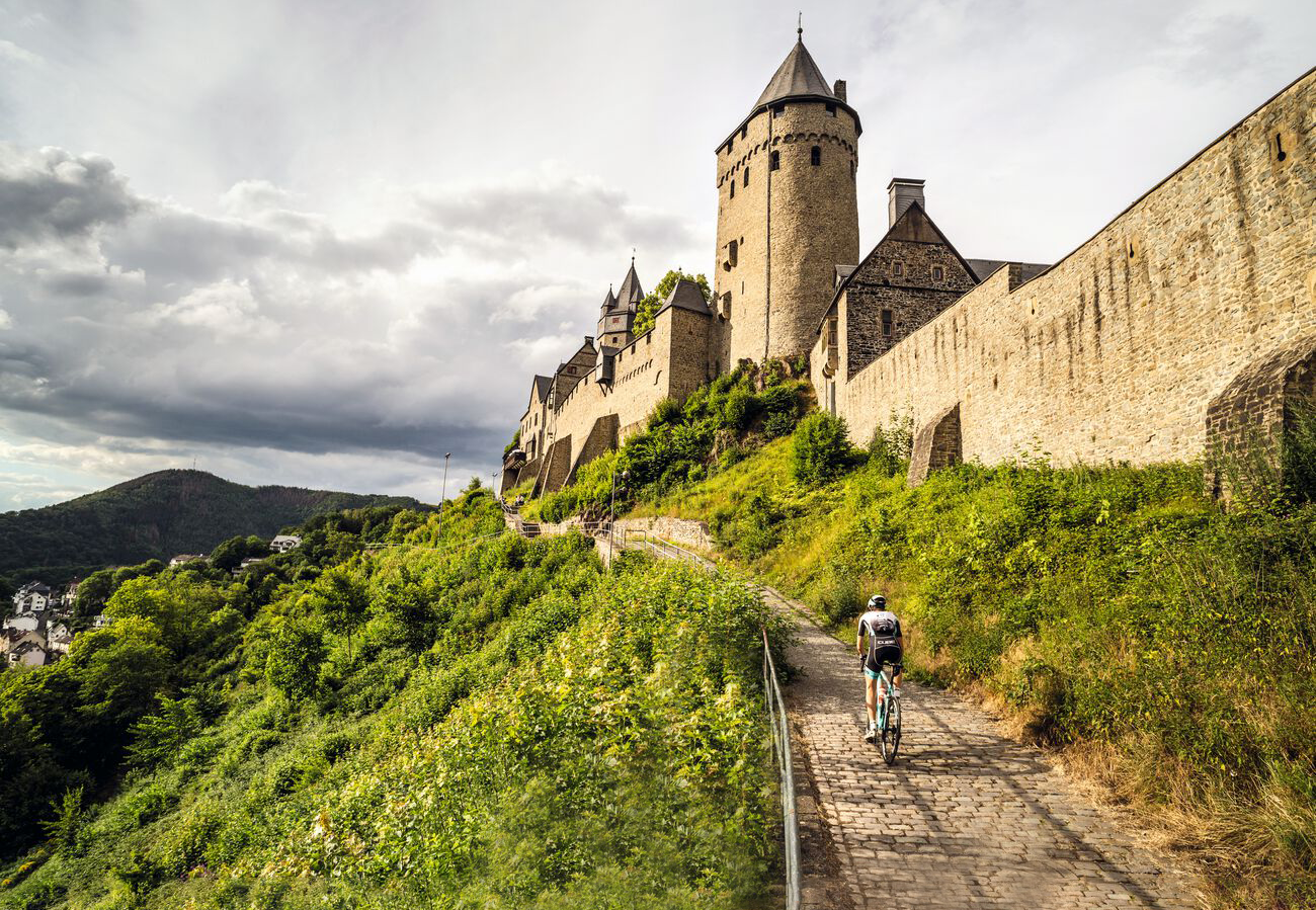
Road bike tours in Märkisches Sauerland
Other adventures in the Märkischer Kreis


Tips from the Community

great view, has something of a vacation
0
0

Opposite the entrance, there are lockers, and each locker has a power outlet. The keys for the lockers can be obtained at the checkout for a deposit of €10. Therefore, please note the opening hours!
0
0

A fantastic view in clear weather.
0
0

It was actually closed but I got coffee, great
0
0

Quiet location with beautiful hiking trails
0
0

The Sauerland Forest Route is divided into 16 stages of varying lengths. There are various places to stop for refreshments and here you have the opportunity to try original specialties from the Sauerland. The experience points provide variety. These include, for example, the "Forest Route Legends" located between Balve and Iserlohn, the 35-meter-high Lörmecke observation tower near Warstein in the Plackwald, the forest experience beaver path near Rüthen, the Kyrillwald on the Sorpesee and the Möhnesee tower near the body of water of the same name. Source: https://www.sauerland-travel.de/aktivitaeten/Sauerland-Ausfluege/Wandern-Sauerland-Waldroute/
1
0

Hotel and restaurant. Busy on weekends
1
0

Here you can wander into the distance
0
0
Frequently Asked Questions
How many mountaineering routes are available in the Märkischer Kreis?
The Märkischer Kreis offers a selection of mountaineering routes, with 6 tours currently available on komoot. These routes cater to various skill levels, from easy walks to more challenging ascents.
Are there easy mountaineering routes suitable for beginners or families in Märkischer Kreis?
Yes, the Märkischer Kreis has routes suitable for beginners and families. For an easy and scenic option, consider the View of the Wildewiese – View of Wildewiese loop from Müggenohl, which is just over 5 km long. Another accessible choice is the Hasper Dam – View of the Hasper Reservoir loop from Hasper Bachtal, offering pleasant views around the reservoir.
What kind of unique geological features can I explore on mountaineering routes in Märkischer Kreis?
The Märkischer Kreis is known for its unique karst landscapes and extensive cave systems. While specific routes might not lead directly into caves, the region's geology means you'll encounter interesting rock formations and valleys. Notable natural monuments like the Felsenmeer in Hemer, with its rugged rock formations, are characteristic of the area's geological past.
Are there any circular mountaineering routes in the Märkischer Kreis?
Yes, many of the mountaineering routes in Märkischer Kreis are designed as circular tours, allowing you to start and end at the same point. For example, the challenging Hagen Bismarck Tower – Kaiser Friedrich Tower loop from Waldbauer / Zurstraße and the moderate Vincke Tower – Hohensyburg castle ruins loop from Hörde are both excellent circular options.
What are some challenging mountaineering routes in the Märkischer Kreis?
For those seeking a challenge, the Hagen Bismarck Tower – Kaiser Friedrich Tower loop from Waldbauer / Zurstraße is classified as difficult, spanning nearly 23.5 km with significant elevation changes. This route offers a demanding experience with rewarding panoramic views.
What can I see along the mountaineering routes in Märkischer Kreis?
Mountaineering routes in Märkischer Kreis often lead past scenic viewpoints, historic towers, and beautiful bodies of water. You might encounter highlights such as the Quitmann Tower on the Kohlberg, the Ebbergturm Observation Tower, or the Glör Dam. The region's diverse landscape includes rolling hills, dense forests, and picturesque river valleys.
What do other mountaineers enjoy most about the routes in Märkischer Kreis?
The mountaineering routes in Märkischer Kreis are highly rated by the komoot community, with an average score of 4.75 stars. Reviewers often praise the varied terrain, the beautiful forest paths, and the scenic views of reservoirs and river valleys. The combination of natural beauty and well-maintained trails makes for a rewarding experience.
Are there mountaineering routes in Märkischer Kreis that are suitable for dogs?
Many of the natural trails and forest paths in Märkischer Kreis are suitable for walking with dogs. While specific dog-friendly designations vary, generally, routes that traverse forests and open countryside, like the Left Source of the Waldbach – Sauerland-Höhenflug Trail loop from Müggenohl, are popular with dog owners. Always ensure your dog is on a leash where required and respect local wildlife.
What is the best season for mountaineering in Märkischer Kreis?
The Märkischer Kreis offers enjoyable mountaineering experiences throughout much of the year. Spring and autumn provide pleasant temperatures and vibrant scenery, with blooming flowers or colorful foliage. Summer is also popular, though some routes might be warmer. Winter can offer a unique, tranquil experience, especially on less challenging routes, but be prepared for colder conditions and potentially icy paths.
Are there mountaineering routes in Märkischer Kreis accessible by public transport?
While many routes in Märkischer Kreis are best accessed by car, some starting points may be reachable via local public transport. It's advisable to check local bus or train schedules for specific route starting points, especially for towns like Iserlohn, Lüdenscheid, or Hagen, which have better connections. Planning ahead will help ensure smooth access to your chosen trail.
Are there any less crowded mountaineering trails in Märkischer Kreis?
To find less crowded trails, consider exploring routes slightly off the main tourist paths or visiting during off-peak seasons (early spring or late autumn) and weekdays. The region's extensive network of trails means you can often find quieter sections, especially in the larger nature parks like Ebbegebirge and Homert. Routes like the Milky Way Trail Part I – View of Balve from Naturpark Sauerland-Rothaargebirge loop from Deilinghofen might offer a more serene experience.
Are there mountaineering routes that pass by reservoirs or offer water views?
Yes, the Märkischer Kreis is characterized by numerous reservoirs and river valleys, and many routes incorporate these beautiful water features. For instance, the View near Boßel – View of the Ennepetal Dam loop from Glörtalsperre offers excellent views of the Ennepetal Dam and Glörtalsperre. The region features reservoirs like Versetalsperre, Listertalsperre, and Seilersee, providing picturesque backdrops for your hike.
Most popular routes in the Märkischer Kreis
Most popular attractions in the Märkischer Kreis

Get inspired with the komoot mobile app


Didn’t find what you were looking for?
Check out more Mountain Hikes & Routes throughout Märkischer Kreis below and find the perfect route in your destination.
Explore more
Browse the best Mountain Hikes & Routes in other regions.
