The best walks and hikes around Grândola
4.4
(474)
1,687
hikers
19
hikes
Hiking around Grândola offers diverse terrain across Portugal's Setúbal District. The region is characterized by the rolling hills and cork oak forests of the Serra de Grândola, which includes the 326-meter Atalaia hill. An extensive 45 km coastline features beaches and sand dunes, while the Sado River estuary provides rich birdlife. This varied landscape provides a range of hiking opportunities.
Best hiking trails around Grândola
- The most popular hiking route is View Over the Town of Grândola loop from Pereirinha…
Last updated: August 28, 2026
3.8
(4)
19
hikers
13.4km
03:47
280m
280m
Moderate hike. Good fitness required. Easily-accessible paths. Suitable for all skill levels.
4.2
(5)
17
hikers
Hard hike. Very good fitness required. Easily-accessible paths. Suitable for all skill levels.

Sign up for free
4.0
(3)
17
hikers
16.7km
04:15
50m
40m
Moderate hike. Good fitness required. Easily-accessible paths. Suitable for all skill levels.
4.8
(8)
17
hikers
8.13km
02:15
150m
150m
Moderate hike. Good fitness required. Easily-accessible paths. Suitable for all skill levels.
4.0
(4)
14
hikers
8.22km
02:06
20m
20m
Moderate hike. Good fitness required. Easily-accessible paths. Suitable for all skill levels.
Get access to more routes and recommendations from other explorers.
Sign up for free
Already have an account?
Our route recommendations are based on thousands of hikes, rides, and runs completed by other people on komoot.
Start today with a free account
Your next adventure awaits.
Login or Signup
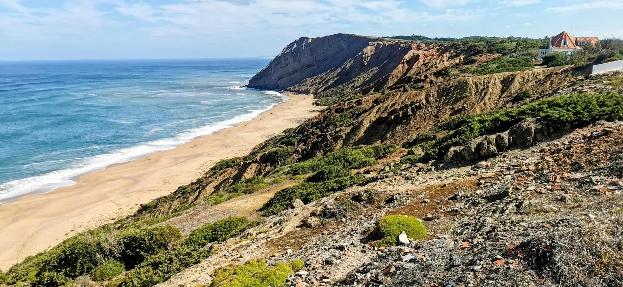
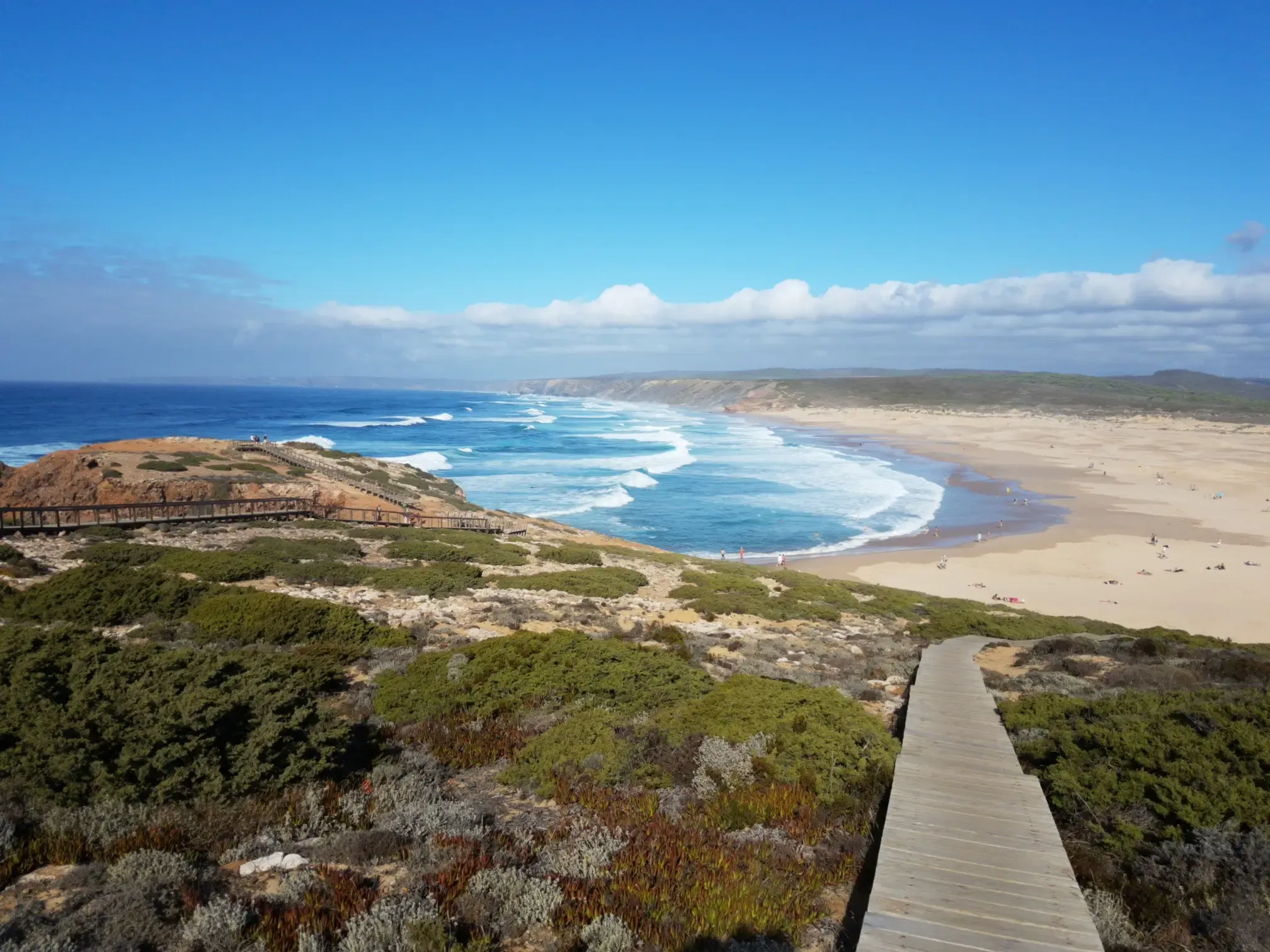
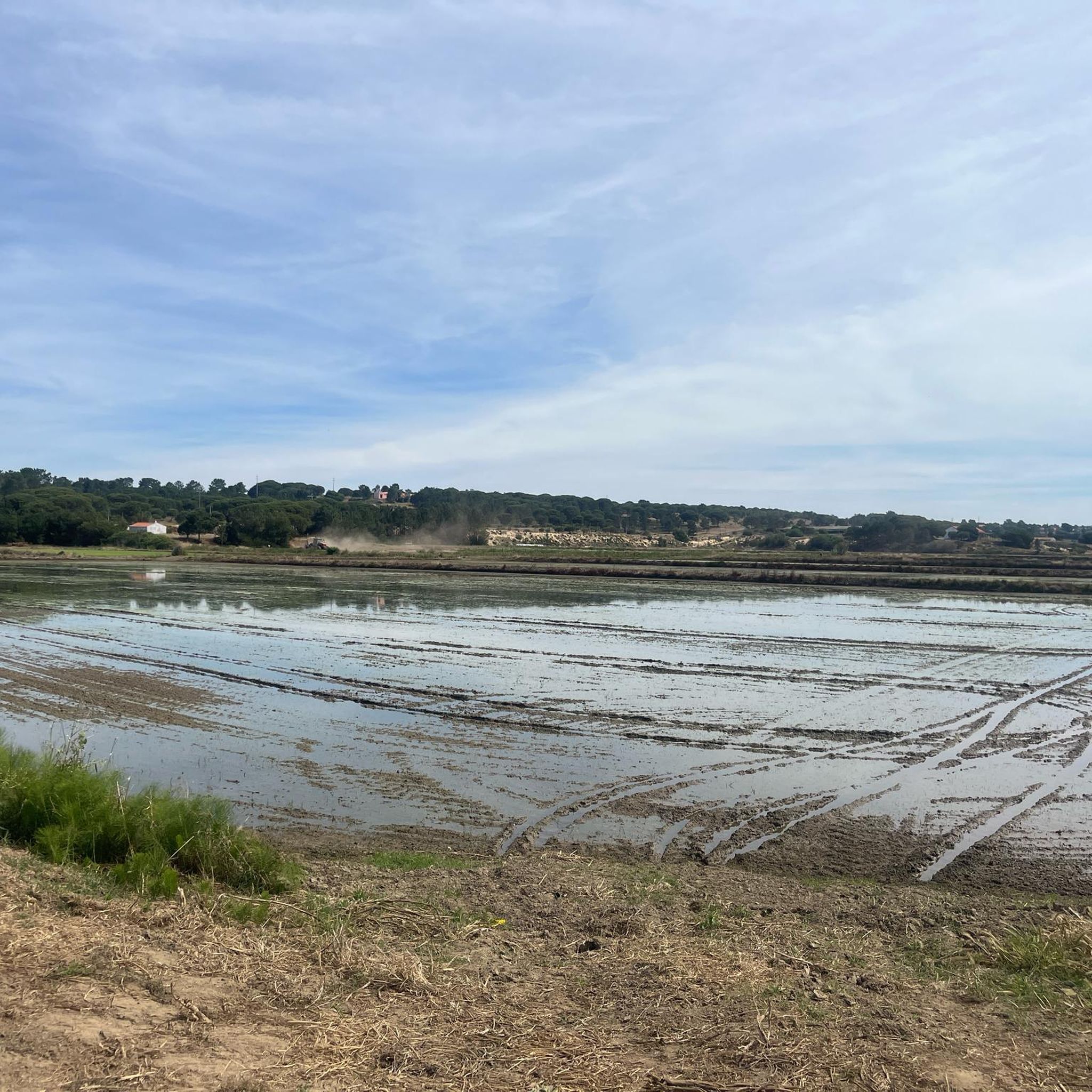



Tips from the Community

Visible directly from the street. You don't even have to get out of the car.
0
1
I need a lot of points to become a Pioneer here again, so I'm creating a few more highlights.
3
0

The Roman Ruins of Tróia house the largest known fish-salting complex in the Roman world. Also located here is the Early Christian Basilica of Tróia, considered one of the oldest in the Iberian Peninsula and one of the best preserved. The fish-salting complex was built in the first half of the 1st century and developed into a settlement that was occupied until the 6th century. The archaeological sites open to visitors include two large salting workshops, the baths, the mausoleum, the mausoleum's necropolis, and the residential area on Rua da Princesa.
7
1

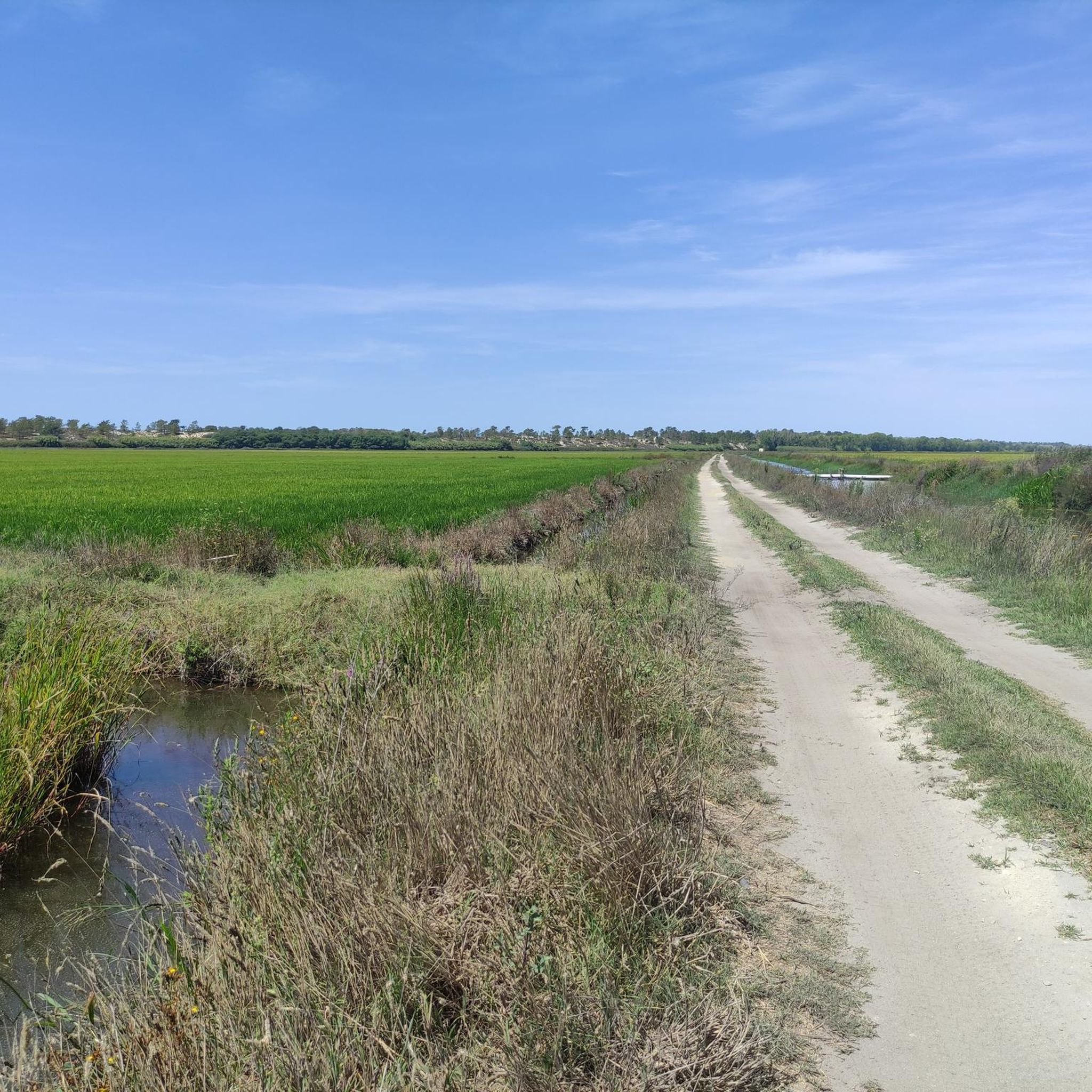
Observation of the fields where it is sown, grown and, once ripe, harvested, then dried, peeled, blanched, and only then can it be received in the kitchens, where it is an integral part of excellent meals.👍
4
0
a place where you can see how rice was treated, from the moment it was collected in the fields, until it was ready to go to the kitchen where it was transformed into a delicious meal.👍
4
0

A small but fine museum dedicated to rice cultivation and processing. Most of the equipment and machinery are in their original condition.
3
1

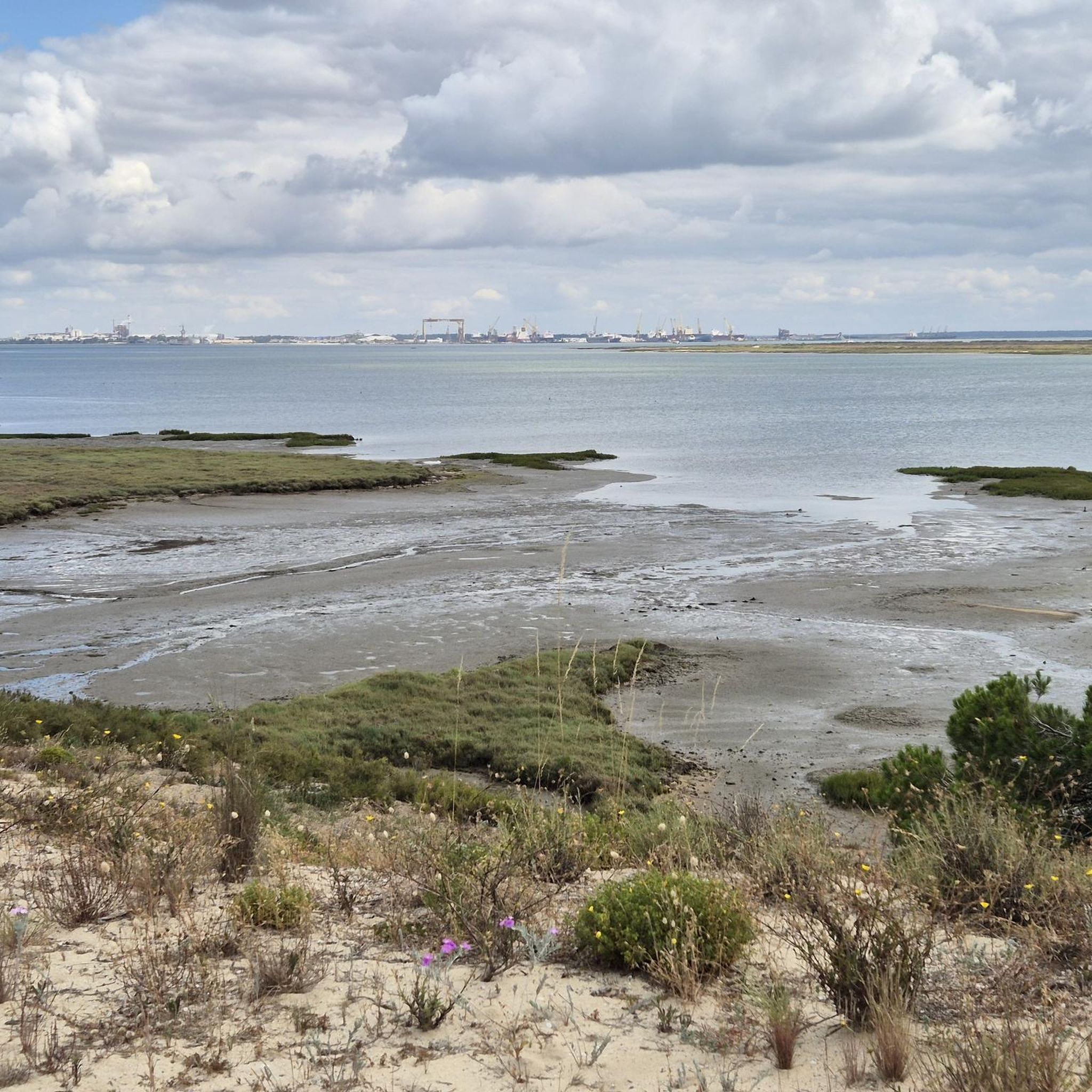
Carrasqueira is probably the most traditional of the small villages in Comporta. It is located 1:15 from Lisbon, on the banks of the mouth of the Sado River, opposite Setùbal. It is famous for its port on stilts, with old wooden mooring lines for the local fishing boats. Carrasqueira in Comporta also houses original fishing huts. Carrasqueira’s farmlands and estuary have been exploited by migrant workers who have settled in the traditional fishermen’s huts over the years. They have been preserved and used in this way for decades. They are also known as “Comporta cabanas” and are the inspiration for more recent constructions in the region that combine wood, traditional masonry and thatched roofs. These fishing huts are now protected and are part of Comporta’s historical heritage. The village of Carrasqueira has a large main street where most commercial activities are located. This includes restaurants, bars, cafes and some small general stores and supermarkets.
6
1
Frequently Asked Questions
How many hiking trails are available in Grândola?
Grândola offers a diverse selection of over 20 hiking trails. These routes cater to various skill levels, including 7 easy, 12 moderate, and 1 difficult trail, ensuring options for every hiker.
What kind of terrain can I expect on hikes in Grândola?
Hiking in Grândola features varied terrain, from the rolling hills and extensive cork oak forests of the Serra de Grândola to picturesque coastal areas with beaches and sand dunes. You'll also find trails exploring the industrial archaeology of the Lousal Mine area, with schist valleys and old railway lines.
Are there any challenging hikes in the Grândola region?
Yes, for those seeking a challenge, the region offers demanding routes. One such trail is the View Over the Town of Grândola – Rural Path and Casa Branca loop from Melides, an 18.5 km (11.5 miles) path that navigates rural areas with significant elevation changes, providing expansive views.
What are some natural features or landmarks to look out for on the trails?
Grândola's trails showcase several natural and historical landmarks. You can explore the vast cork oak forests of the Serra de Grândola, observe rich birdlife in the Sado Estuary, or discover traditional 'Montes Alentejanos' hamlets. Highlights include the Formosinho Peak and the Lapa de Santa Margarida Cave and Chapel.
Are there any family-friendly hiking options in Grândola?
Grândola offers a range of trails suitable for families, including several easy routes. While specific family-friendly routes are not detailed here, the region's diverse landscape means you can find shorter, less strenuous paths, particularly along the coastal areas or within the less hilly parts of the Serra de Grândola.
Can I bring my dog on hikes in Grândola?
Many trails in Grândola are suitable for dogs, especially those through natural landscapes like the cork oak forests and rural paths. It's always advisable to keep dogs on a leash, particularly in areas with wildlife or near livestock, and to respect local regulations regarding pets in protected areas or on beaches.
What is the best time of year to go hiking in Grândola?
The Mediterranean climate of Grândola makes it an appealing destination for outdoor enthusiasts year-round. However, the mild, wet winters and hot summers mean that spring (March to May) and autumn (September to November) generally offer the most comfortable temperatures for hiking, avoiding the intense summer heat.
Are there any circular hiking routes in Grândola?
Yes, many of Grândola's trails are designed as circular routes, allowing you to start and end at the same point. An example is the View Over the Town of Grândola loop from Pereirinha, which is a moderate 13.4 km (8.4 miles) trail offering panoramic views.
What do other hikers say about the trails in Grândola?
The hiking trails in Grândola are highly regarded by the komoot community, with an average rating of 4.5 stars from over 390 reviews. Hikers often praise the diverse landscapes, from the peaceful cork oak forests to the scenic coastal paths, and the variety of routes available for different fitness levels.
Are there any historical sites or cultural points of interest along the hiking trails?
Beyond natural beauty, Grândola's trails offer glimpses into its history and culture. The Lousal Mine area provides unique insights into industrial archaeology, with trails passing old railway lines and mining infrastructures. You can also find traditional 'Montes Alentejanos' hamlets throughout the Serra de Grândola, offering a look into the region's past.
Are there places to rest or find accommodation near the hiking trails?
Yes, throughout the Serra de Grândola, you can find charming huts where hikers can rest, enjoy local cuisine, and in some cases, even find overnight accommodation. These spots offer a chance to experience the local culture and hospitality during your hike.
Are there any coastal walks available in Grândola?
Grândola boasts an extensive coastline of approximately 45 km, offering beautiful coastal walks. Trails like the Comporta Beach – Rice fields loop from Carvalhal lead through coastal areas and rice fields, providing breathtaking Atlantic views and a different hiking experience from the inland routes.
Most popular attractions around Grândola

Get inspired with the komoot mobile app


Explore more
Browse the best Hikes in other regions.
