The best cycling routes around Salvaterra De Magos
4.3
(49)
215
riders
36
rides
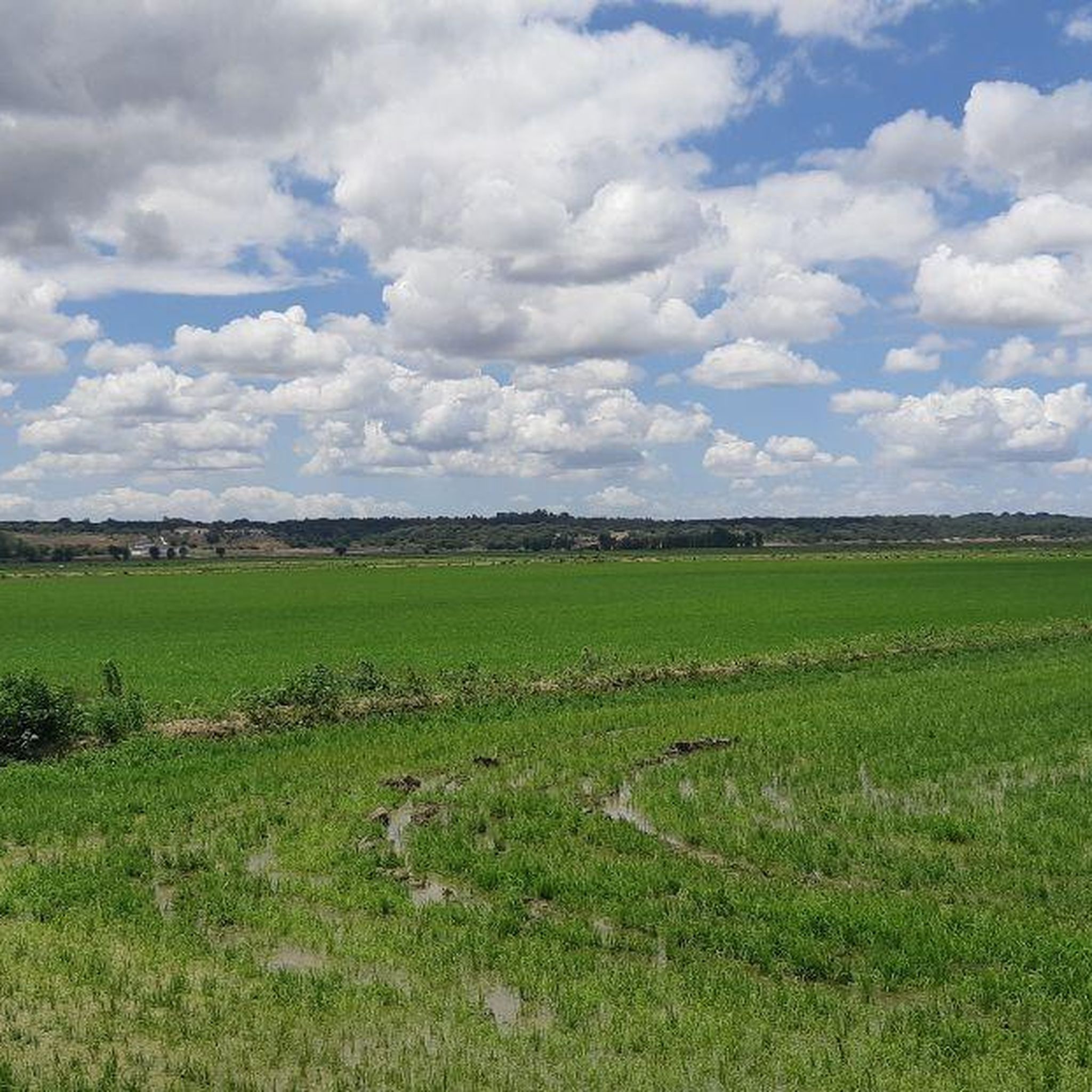
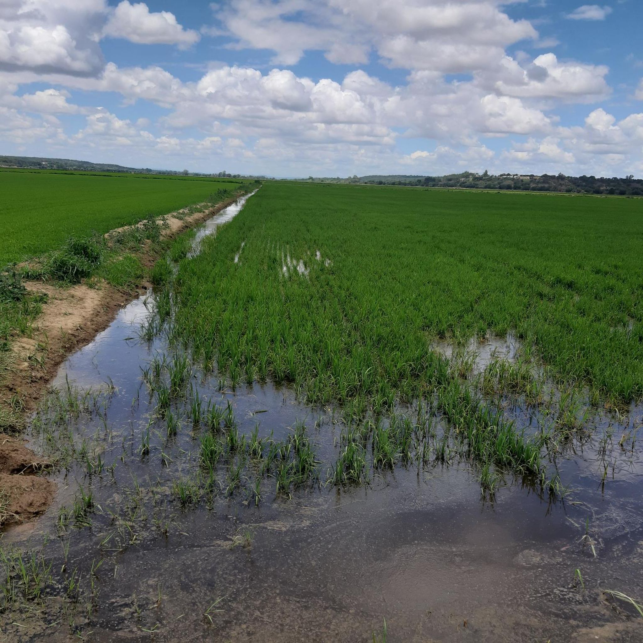
Touring cycling routes around Salvaterra De Magos are characterized by the flat terrain of the Ribatejo region, primarily shaped by the Tagus River and its extensive floodplains. The landscape features a mix of significant wetlands, vast agricultural lands, and areas of pine woods. This environment provides generally low elevation gains, making it suitable for touring cyclists seeking routes through varied natural settings.
Best touring cycling routes around Salvaterra De Magos
- The most popular touring cycling route is River Beach of…
Last updated: July 8, 2026
4.5
(2)
8
riders
26.4km
01:32
110m
110m
Easy bike ride. Great for any fitness level. Mostly paved surfaces. Suitable for all skill levels.
6
riders
30.4km
02:06
70m
70m
Moderate bike ride. Good fitness required. Mostly paved surfaces. Suitable for all skill levels.

Sign up for free
9
riders
Moderate bike ride. Good fitness required. Mostly paved surfaces. Suitable for all skill levels.
5.0
(1)
6
riders
33.4km
02:12
140m
140m
Moderate bike ride. Good fitness required. Mostly paved surfaces. Suitable for all skill levels.
3.8
(13)
4
riders
20.6km
01:41
40m
40m
Easy bike ride. Great for any fitness level. Mostly paved surfaces. Suitable for all skill levels.
Get access to more routes and recommendations from other explorers.
Sign up for free
Already have an account?
Our route recommendations are based on thousands of hikes, rides, and runs completed by other people on komoot.
Start today with a free account
Your next adventure awaits.
Login or Signup


Tips from the Community

The church was consecrated on August 31, 1522, by D. Ambrósio Pereira Brandão, Bishop of Ressiona. However, there are records indicating that the original building was erected in the 14th century and consecrated in 1329; this is a 17th-century reconstruction, with a tower that was demolished by the 1909 earthquake. It has a wide single nave with a wooden ceiling that unfolds in three planes. The walls of the new chapel are covered with blue and white tiles depicting scenes from the life of Saint John the Baptist.
1
0

Ride on the path dedicated for bikes. The road isn’t suitable for bikes, rough and slippery.
1
0

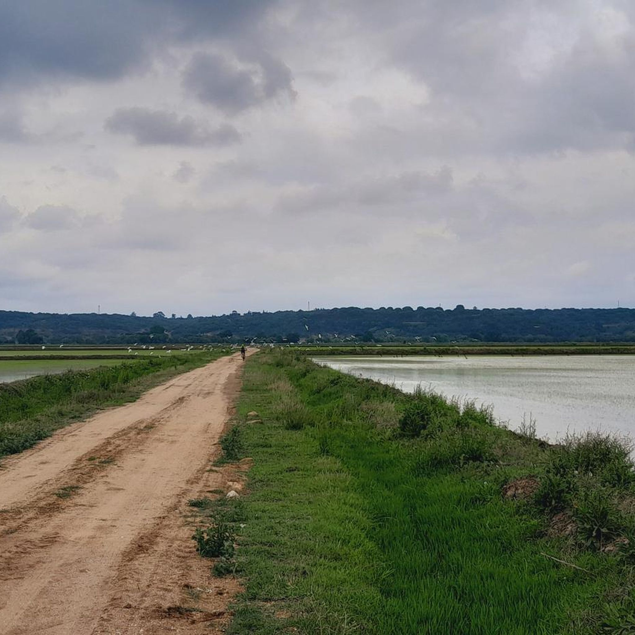
A very pleasant route, always along the banks of the Sorraia Canal. It's generally popular with cyclists, but it's still peaceful and uncrowded.
0
0


Watch out it can be slippery
1
0

The village of Valada is a Portuguese town, located in the municipality of Cartaxo, district of Santarém, Ribatejo region. Here is some information: General Data 1. Population (2021): 1,434 inhabitants. 2. Area: 11.2 km². 3. Population density: 128 inhabitants/km². 4. Altitude: 20-30 meters above sea level.
2
0
The village of Valada is a small Portuguese town, located in the municipality of Cartaxo, district of Santarém, in the Ribatejo region. Here is some information: Characteristics 1. Population: Around 1,500 inhabitants. 2. Area: 11.2 km². 3. Population density: 134 inhabitants/km². 4. Altitude: 20-30 meters above sea level. History 1. Origins: Possibly founded by the Romans. 2. 12th century: Part of the municipality of Cartaxo. 3. 15th century: Agricultural and livestock development. Points of interest 1. Igreja Matriz de Nossa Senhora da Conceição (18th century). 2. Capela de São Sebastião. 3. Fonte do Castelo (historical monument). 4. Praia Fluvial de Valada (river Tagus). 5. Walking and cycling trails. Activities 1. Agriculture (cereals, fruit and vegetables). 2. Livestock farming (cattle, pigs and poultry). 3. River fishing. 4. Rural tourism. 5. Cultural and religious events. Accessibility 1. Located 10 km from Cartaxo. 2. Access via the EN365 national road. 3. Public transport: buses. 4. Nearest train station: Cartaxo.
4
0
Frequently Asked Questions
What kind of terrain can I expect on touring cycling routes around Salvaterra de Magos?
The touring cycling routes in Salvaterra de Magos are generally characterized by the flat terrain of the Ribatejo region, shaped by the Tagus River and its extensive floodplains. You'll find a mix of significant wetlands, vast agricultural lands, and areas of pine woods, offering generally low elevation gains suitable for relaxed touring.
How many touring cycling routes are available in Salvaterra de Magos?
There are 39 touring cycling routes available around Salvaterra de Magos. These routes cater to various skill levels, with 6 easy, 28 moderate, and 5 difficult options.
Are there any easy touring cycling routes suitable for beginners?
Yes, Salvaterra de Magos offers several easy touring cycling routes. An excellent option for beginners is the Câmara Municipal de Benavente loop from Benavente, which is 20.6 km long with minimal elevation gain, making it a comfortable ride.
What natural features or landmarks can I see along the cycling routes?
Cycling routes often traverse the Tagus River banks, offering views of its estuary and surrounding agricultural lands. You might also encounter historical structures like the Ponte Rainha D. Amélia or the Roman Bridge of Muge. The region is also known for its pine woods and the unique Avieiros culture in traditional fishing villages like Escaroupim.
Are there any routes that explore the Tagus River?
Many routes in Salvaterra de Magos are closely tied to the Tagus River. For a scenic ride along the riverbanks, consider the River Beach of Valada – Valada and the river loop from Valada, an easy 26.4 km trail that explores the riverbanks and the charming Valada Village.
What is the best time of year to go touring cycling in Salvaterra de Magos?
The generally flat terrain and mild climate of the Ribatejo region make Salvaterra de Magos suitable for touring cycling for much of the year. Spring and autumn offer pleasant temperatures, while summer can be warm but still enjoyable, especially along the river where breezes might be present.
Are there any longer, more challenging routes for experienced touring cyclists?
Yes, for those seeking a longer ride, the Ponte Rainha D. Amélia – Valada Village loop from Grupo Sugal is a moderate 46.5 km trail that leads through riverine landscapes and local villages, typically completed in about 3 hours.
What do other touring cyclists say about the routes in Salvaterra de Magos?
The touring cycling routes in Salvaterra de Magos are highly rated by the komoot community, with an average score of 4.2 stars from over 60 reviews. Cyclists often praise the peaceful experience of riding through the expansive agricultural lands and along the river, as well as the varied natural settings.
Can I find routes that pass through agricultural areas?
Absolutely. The region is known for its rich agricultural lands, particularly along the Tagus riverbanks. The Rio Sorraia loop from Adega da Rosa is a moderate 32.6 km path that follows the Rio Sorraia, offering extensive views of the surrounding agricultural landscapes.
Are there any routes that explore the Escaroupim National Forest?
While specific komoot touring cycling routes directly within the Escaroupim National Forest are not detailed here, the forest offers marked paths through pine trees, showcasing a blend of maritime and stone pine. The broader region's routes often incorporate areas of pine woods, providing a similar natural experience.
Is it possible to combine cycling with other activities in the area?
Yes, Salvaterra de Magos offers diverse outdoor pursuits. Beyond cycling, you can enjoy guided boat trips along the Tagus River to explore traditional fishing villages, go birdwatching in the wetlands, or even experience horseback riding alongside vineyards and plains. The Beira Tejo Boat in Valada is a notable attraction for river activities.
Are there any routes that start or pass through Benavente?
Yes, the Bike loop from Benavente is a moderate 33.4 km route that starts from Benavente, offering a good option for exploring the surrounding area.
Most popular routes around Salvaterra De Magos
Most popular attractions around Salvaterra De Magos

Get inspired with the komoot mobile app


Explore more
Browse the best Cycling routes in other regions.
