The best mountain hikes around Millingen Aan De Rijn
4.8
(16)
47
hikers
5
hikes
Mountaineering around Millingen Aan De Rijn primarily involves vigorous walks through the region's varied riverine and forested landscapes. While the area is largely flat, the prominent Duivelsberg offers hilly terrain with rugged paths and rocky outcrops. The landscape is further characterized by the extensive nature reserves of the Millingerwaard and De Gelderse Poort National Park, featuring floodplains, diverse flora, and grazing animals. These areas provide opportunities for exploring natural features and viewpoints.
Best mountaineering routes around Millingen Aan De Rijn
…Last updated: July 6, 2026
4.7
(7)
22
hikers
Moderate mountaineering route. Good fitness required. Easily-accessible paths. Suitable for all skill levels.
4.8
(8)
21
hikers
Moderate mountaineering route. Good fitness required. Easily-accessible paths. Suitable for all skill levels.

Sign up for free
2
hikers
Easy mountaineering route. Great for any fitness level. Easily-accessible paths. Suitable for all skill levels.
5.0
(1)
1
hikers
Easy mountaineering route. Great for any fitness level. Easily-accessible paths. Suitable for all skill levels.
1
hikers
Easy mountaineering route. Great for any fitness level. Easily-accessible paths. Suitable for all skill levels.
Our route recommendations are based on thousands of hikes, rides, and runs completed by other people on komoot.
Start today with a free account
Your next adventure awaits.
Login or Signup
Popular around Millingen Aan De Rijn
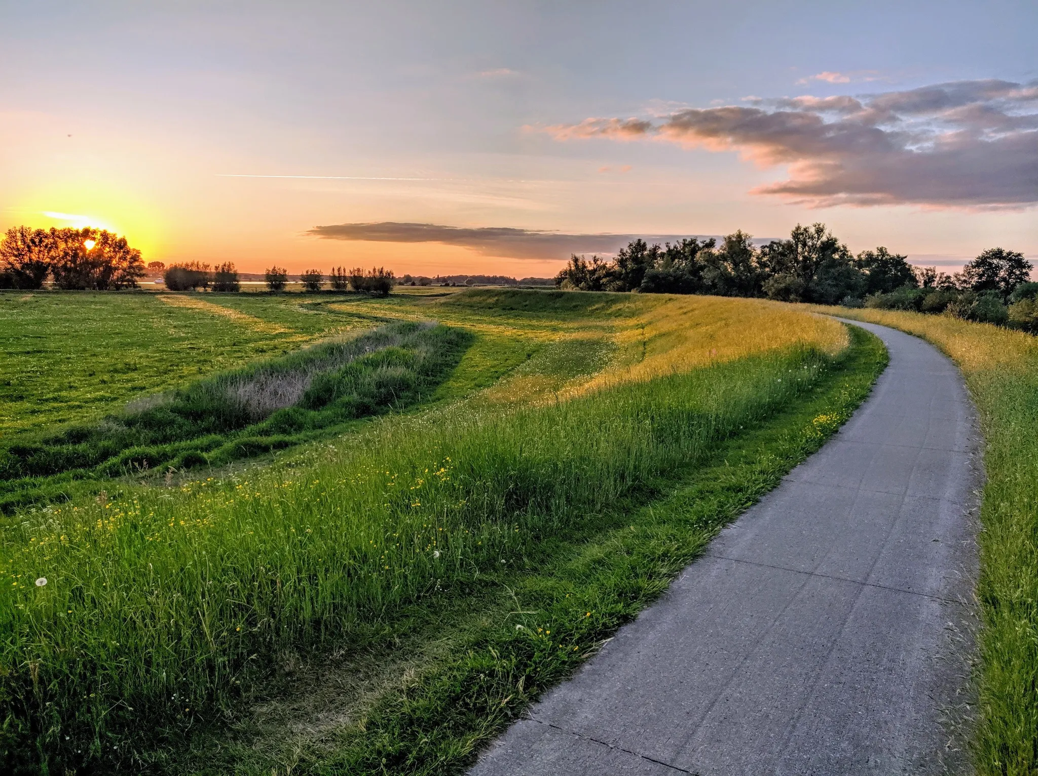
LF3 Hanzeroute - Bike in two days from Millingen to Kampen
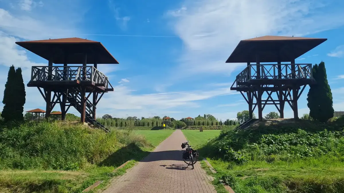
Roman Limes Route – ride the Roman frontier in 5 stages
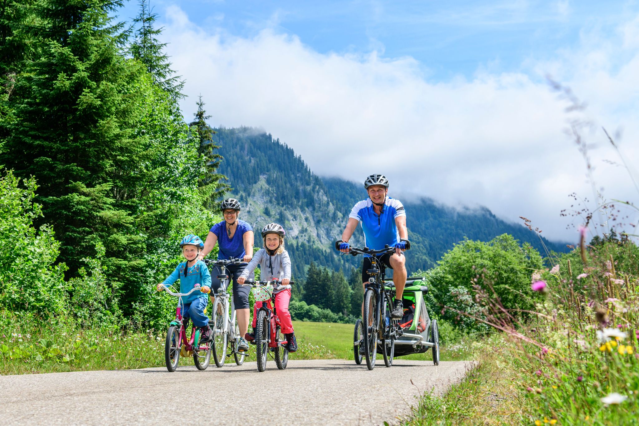
German Cycling Network – Cycling all over the country on the D-Routes
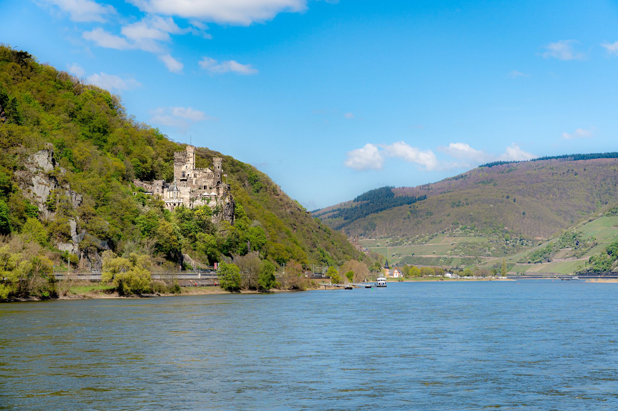
D-Route 8: Rhine Route
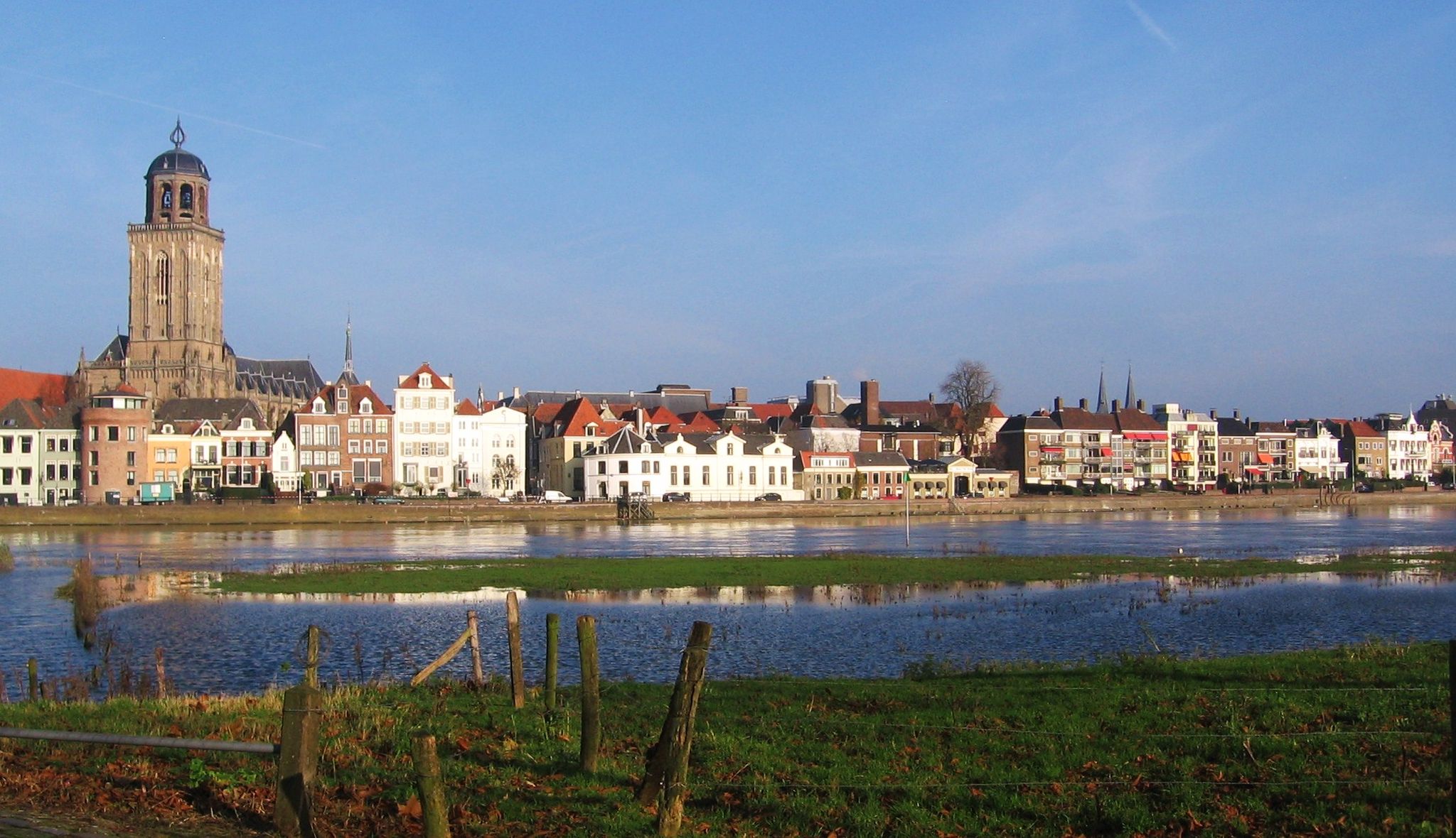
Cycling through Dutch medieval towns – LF3 Hanseatic Route
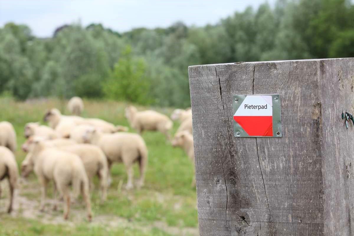
From Kasteel Vorden to the Sint-Pietersberg – Pieterpad long-distance hike part 2
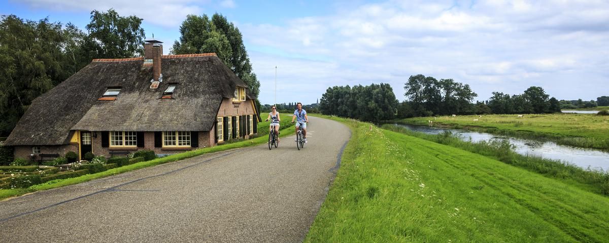
The other Holland — cycling in Gelderland and Overijssel
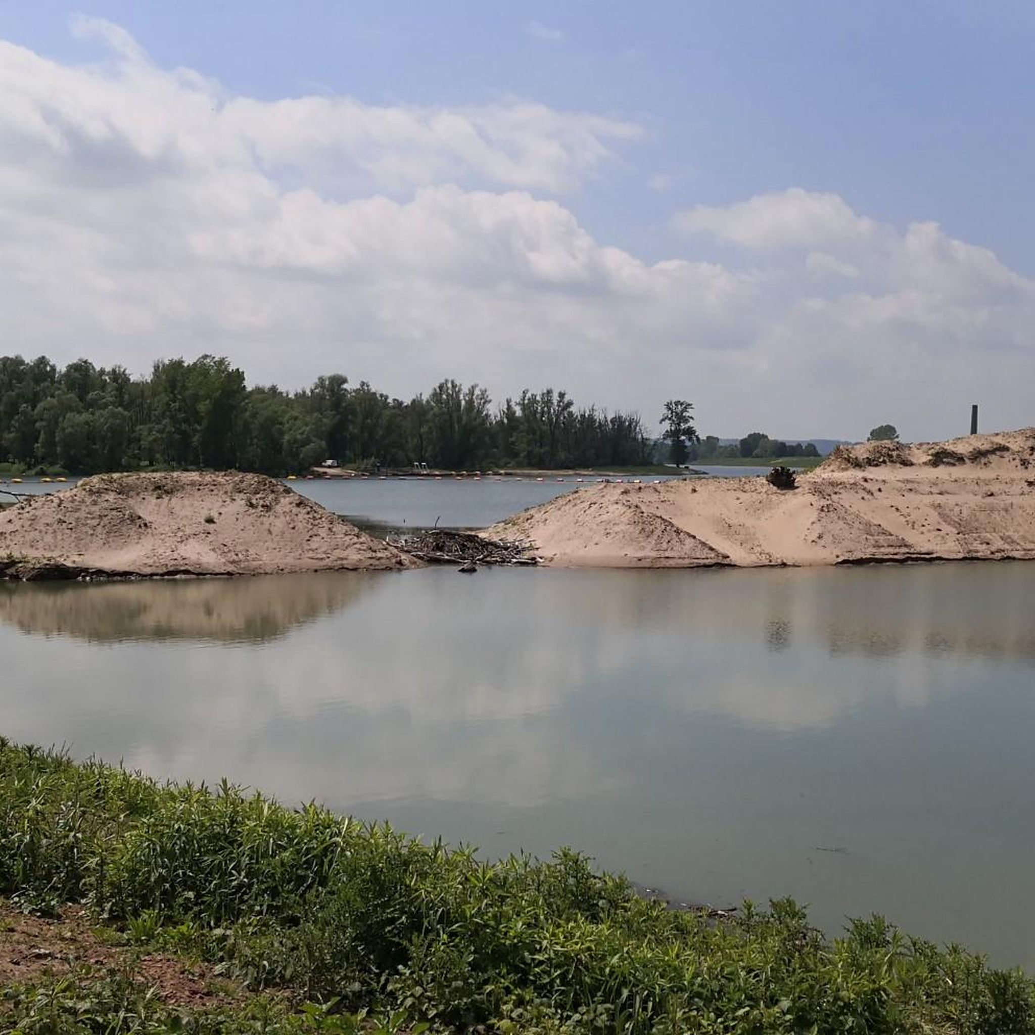
Cycling around Millingen Aan De Rijn
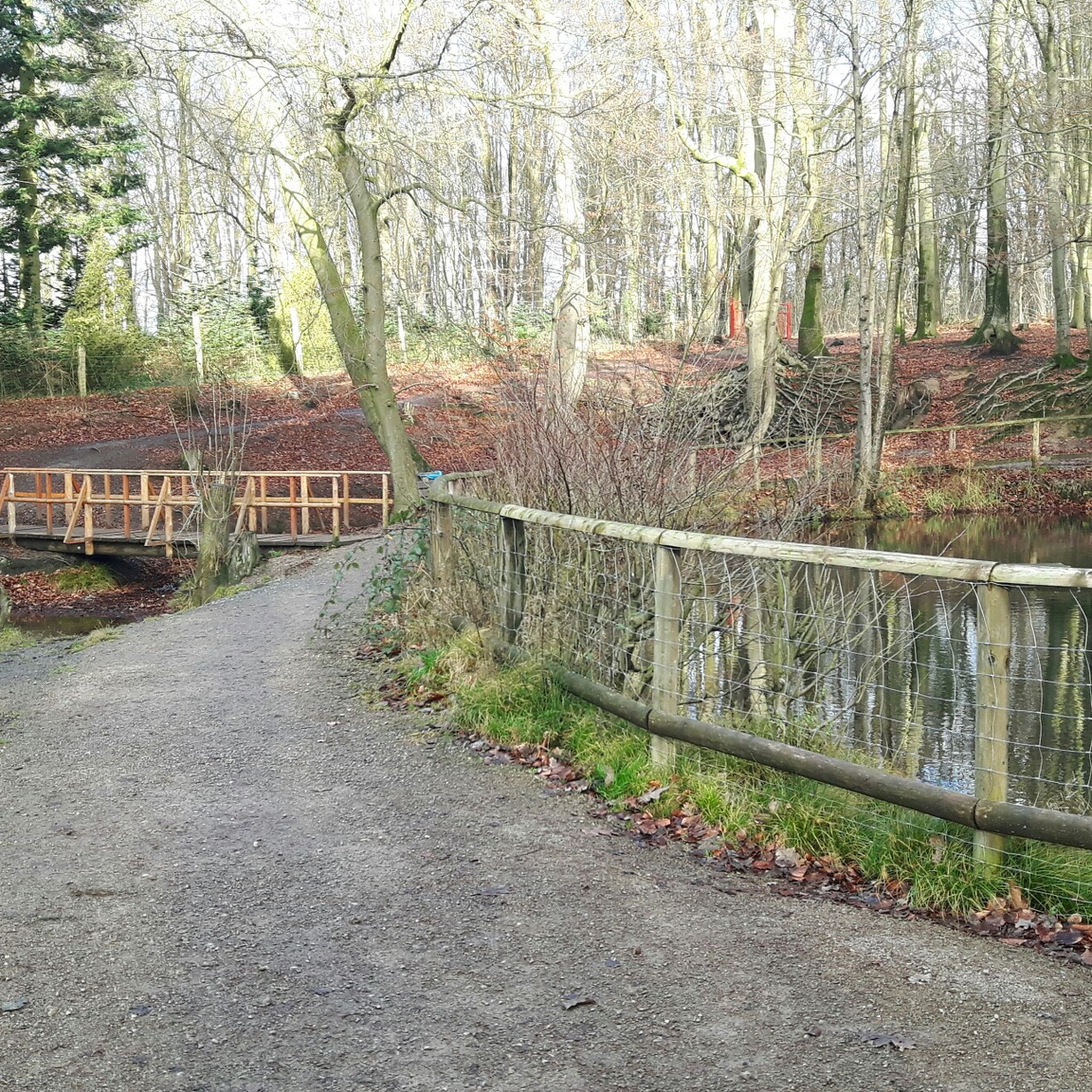
Hiking around Millingen Aan De Rijn
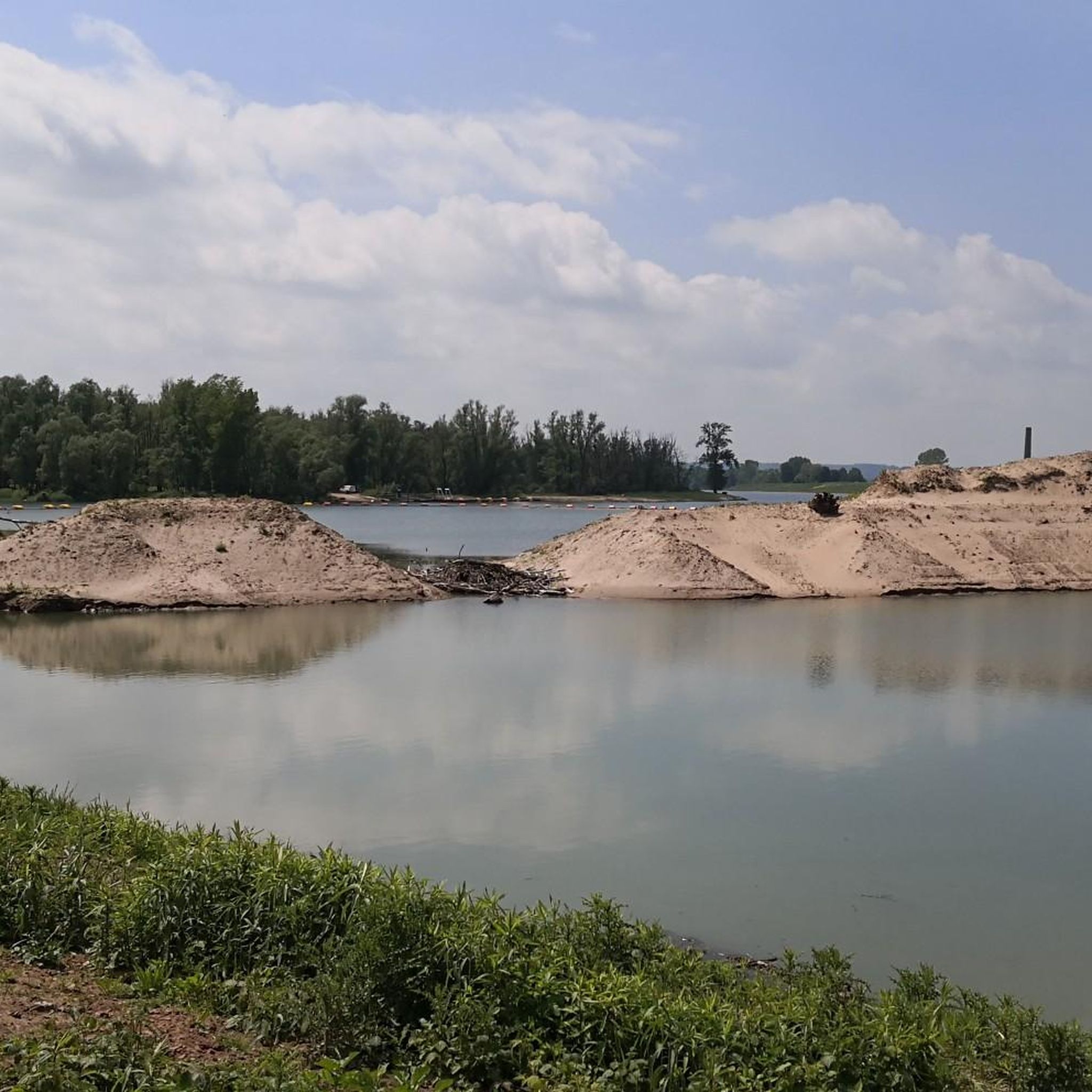
Road Cycling Routes around Millingen Aan De Rijn
Other adventures around Millingen Aan De Rijn


Tips from the Community

you will encounter enough of these little stairs
0
0


It can be busy on weekends. It is a popular hiking area.
1
0

The thought is nice, but there would be better benches upstairs
0
0

nice area for walking, dogs are allowed to run free here between 1-10 and 1-5
1
0

Beautiful view over the Rhine Valley
0
0
Frequently Asked Questions
What kind of terrain can I expect on mountaineering routes around Millingen aan de Rijn?
While Millingen aan de Rijn is largely flat, the region offers varied terrain. You'll find vigorous walks through riverine floodplains, dense deciduous forests, and the distinct hills of the Duivelsberg (Devil's Hill). The Duivelsberg, though modest in elevation, features rugged paths and rocky outcrops, providing a more challenging experience compared to the surrounding flatlands.
Are there any easy mountaineering routes suitable for beginners?
Yes, there are several easy routes. For instance, the Sunken Path in the Forest – Devil's Mountain (Duivelsberg) loop from Berg en Dal is an easy 3.3-mile (5.4 km) trail through forested hills. Another accessible option is the Devil's Mountain (Duivelsberg) – Wylerberg Lake loop from Persingen, which is 3.2 miles (5.1 km) long and also rated easy.
What natural attractions or viewpoints can I discover along the routes?
The region is rich in natural beauty. You can explore the unique Millingerwaard – pure nature reserve with its diverse flora and grazing animals. The Duivelsberg (Devil's Hill) itself offers scenic views over the surrounding countryside, including the Duffelt region. You might also encounter the Oude Waal Nature Reserve and the Seven Springs.
Are there any circular mountaineering routes available?
Yes, many routes in the area are circular. Popular options include the Picnic Spot by the Stream – Devil's Mountain (Duivelsberg) loop from Ubbergen, a moderate 8.6-mile (13.8 km) trail, and the Picnic Spot by the Stream – Heerlijkheid Beek Viewpoint loop from Berg en Dal, an 8.2-mile (13.2 km) moderate path. These loops allow you to start and end at the same point.
What do other mountaineers enjoy most about the routes in this area?
The routes in Millingen aan de Rijn are highly rated by the komoot community, with an average score of 4.8 stars from over 16 reviews. Reviewers often praise the varied terrain, from riverine floodplains to the hilly Duivelsberg, and the opportunities to experience diverse nature and scenic viewpoints.
Can I bring my dog on the mountaineering routes?
Many trails in the region are dog-friendly, especially those through natural reserves like the Millingerwaard and the Duivelsberg. However, it's always advisable to keep your dog on a leash, particularly in nature reserves where grazing animals like Galloway cattle and Konik horses are present, and to check specific local regulations for each trail.
Are the routes suitable for families with children?
Yes, the area offers routes suitable for families. The easier trails, such as the Sunken Path in the Forest – Devil's Mountain (Duivelsberg) loop from Berg en Dal, are great for shorter outings. The diverse landscapes, including the Millingerwaard with its animals, provide engaging experiences for children, though supervision is always recommended, especially on rugged sections of the Duivelsberg.
What is the best time of year to go mountaineering in Millingen aan de Rijn?
The region is enjoyable year-round. Spring brings blooming flora, while autumn offers vibrant fall colors in the deciduous forests of the Duivelsberg. Summer is ideal for longer days and exploring the riverine landscapes. Even winter can be beautiful, with crisp air and unique views, though some paths might be muddy or slippery.
Are there any cafes or places to eat near the mountaineering routes?
While specific cafes directly on the trails are limited, you'll find various options in nearby villages like Berg en Dal, Ubbergen, and Millingen aan de Rijn itself. These villages offer places to refuel before or after your hike, ranging from local eateries to more established restaurants.
Where can I find parking for the mountaineering trails?
Parking is generally available at the starting points of many routes, particularly in the villages surrounding the Duivelsberg and the Millingerwaard. For example, trails starting from Berg en Dal or Ubbergen often have designated parking areas. It's recommended to check specific route details for precise parking information.
How many mountaineering routes are available in the Millingen aan de Rijn area?
There are several mountaineering routes available in the Millingen aan de Rijn area, with komoot featuring 6 distinct tours. These include a mix of easy and moderate trails, ensuring options for various skill levels.
What is the most challenging mountaineering route in the area?
While there are no routes classified as 'difficult' in the traditional mountaineering sense, the more challenging options are the moderate trails with significant elevation gain. The Picnic Spot by the Stream – Devil's Mountain (Duivelsberg) loop from Ubbergen, at 8.6 miles (13.8 km) with 239 meters of ascent, and the Picnic Area by the Ravenberg loop from Berg en Dal, at 8.6 miles (13.8 km) with 209 meters of ascent, offer the most vigorous experiences.
Most popular routes around Millingen Aan De Rijn
Most popular attractions around Millingen Aan De Rijn

Get inspired with the komoot mobile app


Explore more
Browse the best Mountain Hikes & Routes in other regions.
