The best road cycling routes around Aalburg
4.2
(45)
1,008
riders
31
rides
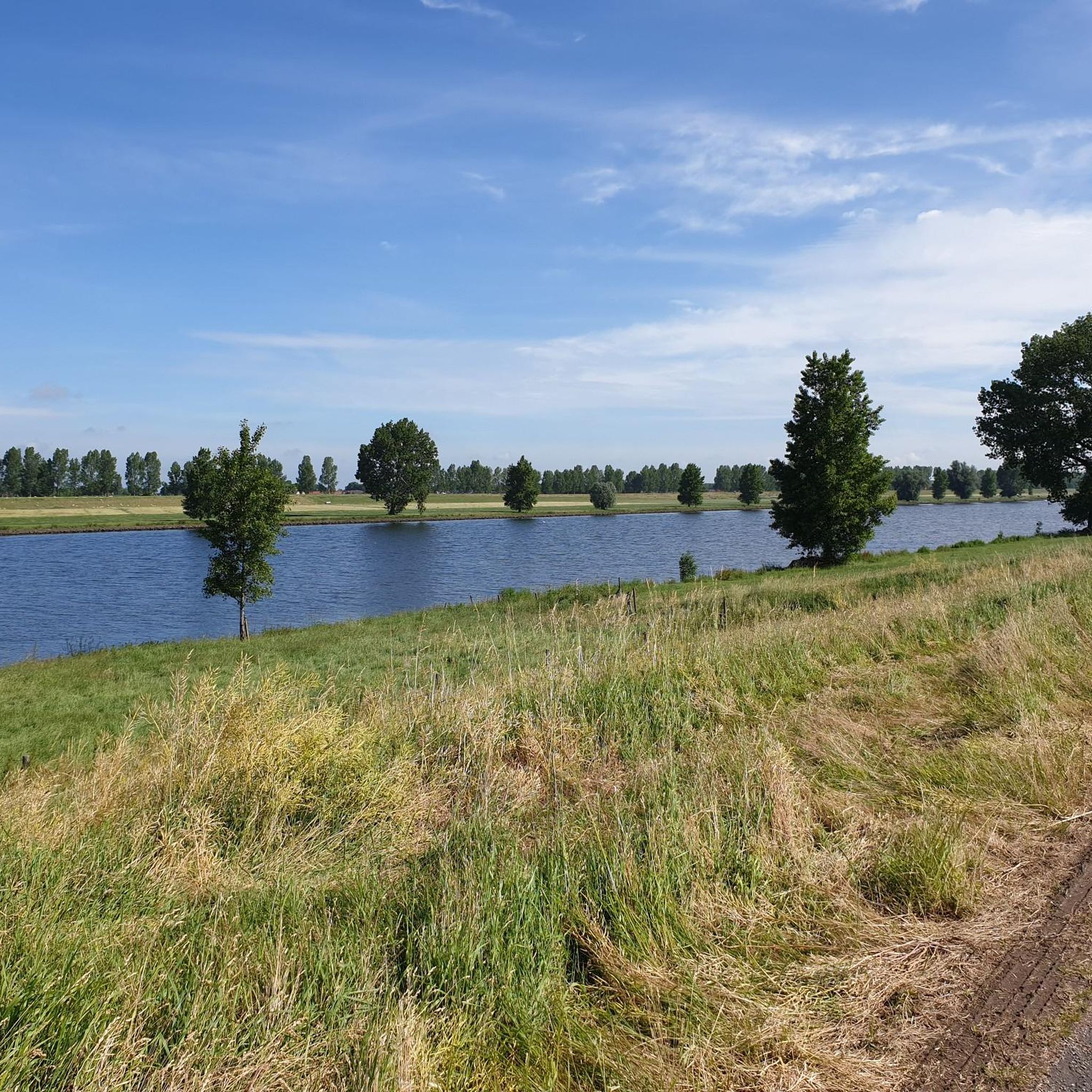
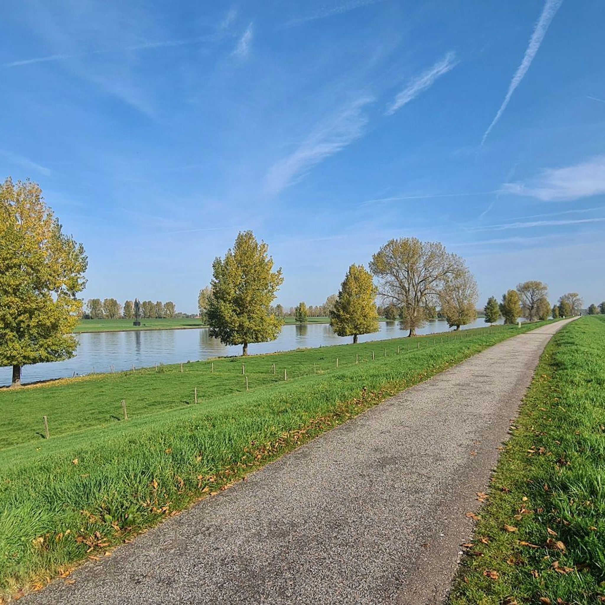
Road cycling around Aalburg features a landscape characterized by river dikes and flat polder areas, offering routes with minimal elevation gain. The region provides a network of well-paved surfaces suitable for various fitness levels. Cyclists can explore paths along the Maas River, connecting urban proximity with natural escapes. This area is well-equipped for road cyclists, with routes varying in length and difficulty.
Best road cycling routes around Aalburg
- The most popular road cycling route is Well Castle – Oude Stuw…
Last updated: June 28, 2026
4.2
(19)
395
riders
52.8km
02:11
60m
60m
Moderate road ride. Good fitness required. Mostly well-paved surfaces and easy to ride.
4.5
(4)
182
riders
Moderate road ride. Good fitness required. Mostly well-paved surfaces and easy to ride.

Sign up for free
5.0
(4)
103
riders
76.4km
03:14
90m
90m
Moderate road ride. Good fitness required. Mostly well-paved surfaces and easy to ride.
4.7
(3)
37
riders
100km
04:03
120m
120m
Moderate road ride. Good fitness required. Mostly well-paved surfaces and easy to ride.
42
riders
Moderate road ride. Good fitness required. Mostly well-paved surfaces and easy to ride.
Get access to more routes and recommendations from other explorers.
Sign up for free
Already have an account?
Our route recommendations are based on thousands of hikes, rides, and runs completed by other people on komoot.
Start today with a free account
Your next adventure awaits.
Login or Signup
Popular around Aalburg
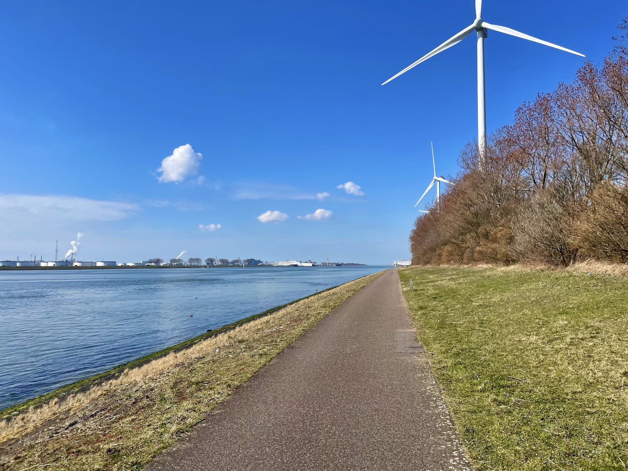
The Meuse Cycle Route - Follow the Meuse from the hills to the harbor
The Meuse Cycle Route - Follow the Meuse from the hills to the harbor
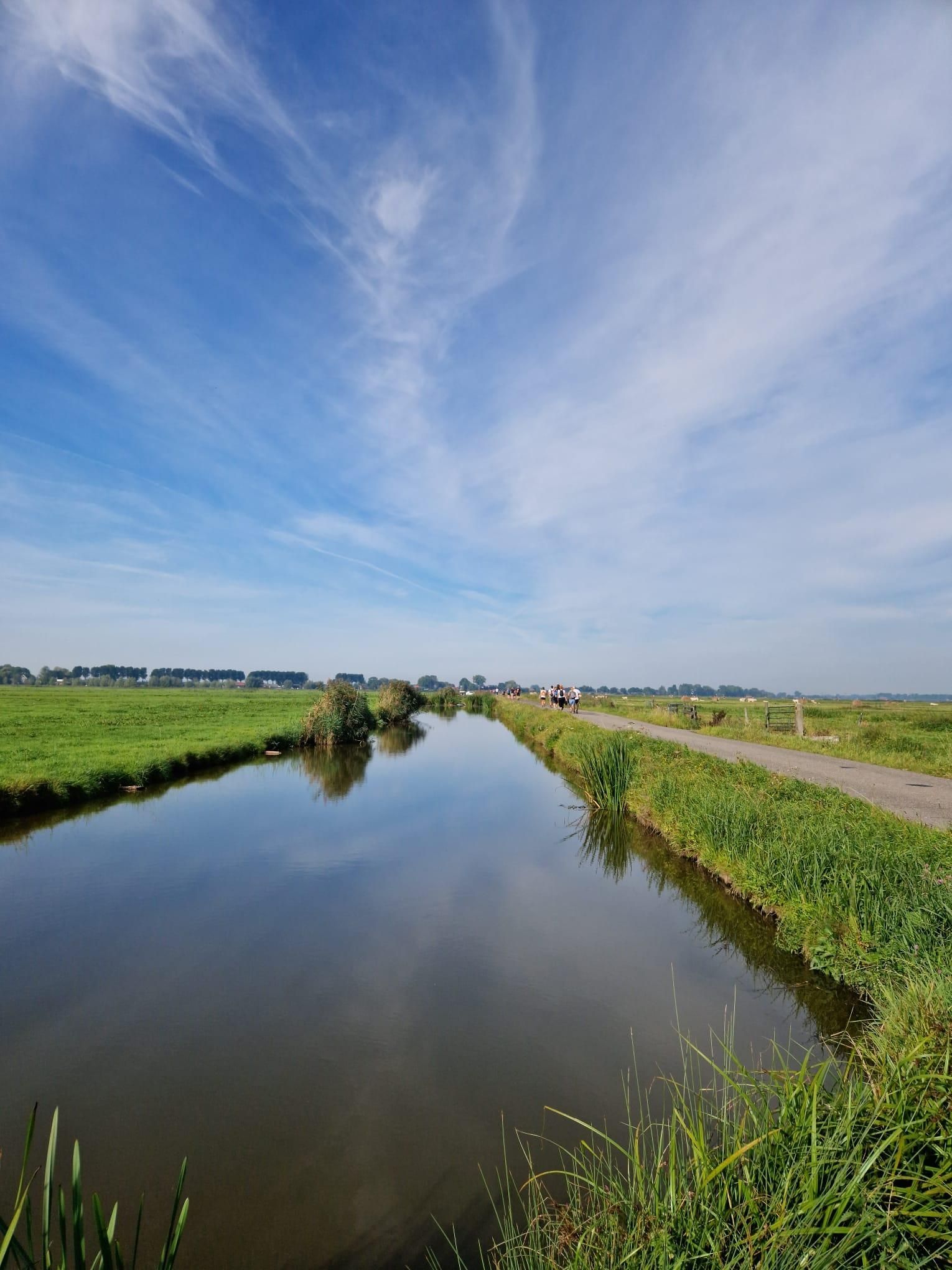
Below the waterline of the Sint-Elisabethsvloed – Biesboschpad
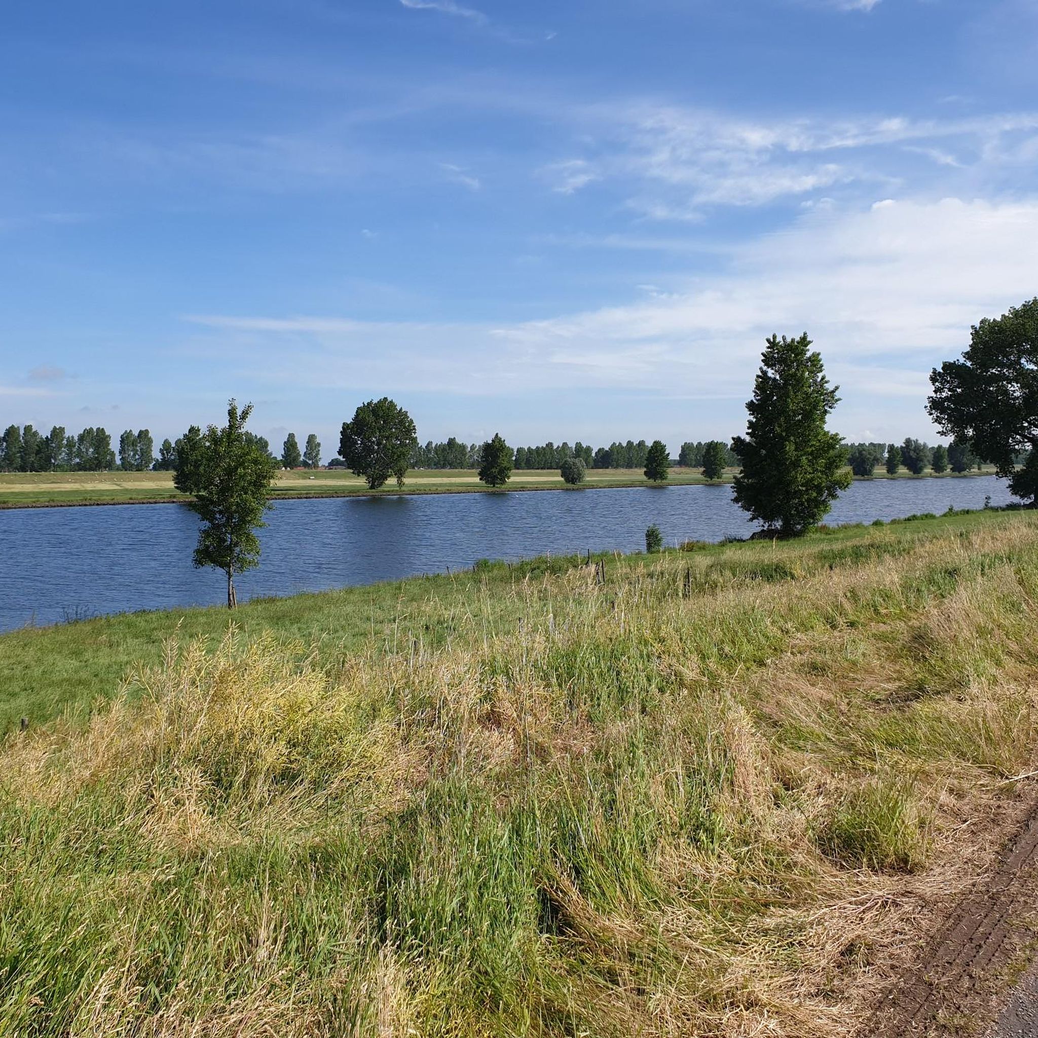
Cycling around Aalburg
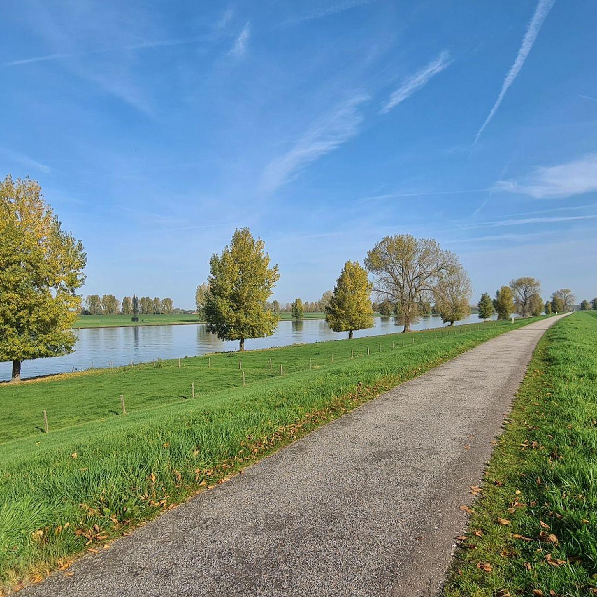
MTB Trails around Aalburg
Gravel biking around Aalburg
Hiking around Aalburg
Running Trails around Aalburg
Other adventures around Aalburg


Tips from the Community


This beautiful historic lock has regulated the water flow between the Drongelens Canal and the polders between Vlijmen and 's-Hertogenbosch for over a century. During high water, the lock ensures we stay dry, while during dry weather, it allows water to flow into the area beyond. A true gem in the field of water management. The lock has been completely renovated and reopened on April 10, 2025. Thanks to the restoration, the lock can continue to play an important role in the future. When the water level in the Drongelens Canal rises, the lock is closed manually to prevent flooding. This last happened at the end of 2023, during high water. This prevented high water from flowing from the canal into the polders south of Vlijmen. During drier periods, this inlet system ensures that these polders are supplied with water. Water from the Drongelens Canal fills the ditches and streams. Source: www.aaenmaas.nl
1
0

Mege is located in the province of Brabant, near the Meuse River. Emapel/Empel Lock: In the region between Venlo and 's-Hertogenbosch, there are waterways with locks; Empel is a district of 's-Hertogenbosch in North Brabant. A lock there could be part of the Zuid-Willemsvaart Canal or the Meuse-Waal water systems.
0
0

I ride this bike path every day from Kaatsheuvel to 's-Hertogenbosch to work. Fantastic route.
0
0
Frequently Asked Questions
What kind of terrain can I expect when road cycling around Aalburg?
Road cycling around Aalburg is characterized by flat polder areas and dike roads along rivers like the Maas. The routes generally feature minimal elevation gain and are mostly well-paved, making them suitable for various fitness levels. You'll experience a mix of urban proximity and natural riverine landscapes.
How many road cycling routes are available in the Aalburg region?
There are over 30 road cycling routes available in the Aalburg region, catering to different preferences and skill levels. Most of these routes are rated as easy or moderate, with a few more challenging options.
Are there any easy or beginner-friendly road cycling routes in Aalburg?
Yes, Aalburg offers many easy road cycling routes. Out of the 32 available routes, 20 are classified as easy, providing accessible options for beginners or those looking for a relaxed ride. These routes typically follow flat terrain along dikes and polder areas.
What are some of the longer road cycling routes in Aalburg for more advanced riders?
For riders seeking longer distances, routes like the Dike Road Along the Maas River – Well Castle loop from Veen cover nearly 100 km. While the elevation gain remains minimal, the extended distance provides a good challenge for advanced cyclists.
What do other road cyclists enjoy most about the routes in Aalburg?
The road cycling routes in Aalburg are highly rated by the komoot community, with an average score of 4.2 stars from over 40 reviews. Cyclists frequently praise the well-paved surfaces, the scenic riverine landscapes, and the accessibility of routes for various fitness levels.
Are there any family-friendly road cycling options in Aalburg?
Yes, the predominantly flat terrain and well-paved paths make many of Aalburg's road cycling routes suitable for families. The numerous easy and moderate routes provide a safe and enjoyable environment for cyclists of all ages to explore the region together.
What kind of natural attractions or scenic viewpoints can I find along the road cycling routes?
While cycling, you'll encounter picturesque river views and the characteristic polder landscapes. The region is known for its natural beauty, including the Limfjord and areas like Lille Vildmose and Rebild Bakker National Park, which offer diverse scenery from bogs to heather-covered hills. You might also pass by historical sites such as Lindholm Høje.
What historical sites or landmarks can I explore near the road cycling routes in Aalburg?
The Aalburg region is rich in history. You can find several castles and historical sites nearby, such as Well Castle, Loevenstein Castle, and Woudrichem Fortress Town. These offer interesting stops to learn about the area's heritage.
Are there circular road cycling routes available in Aalburg?
Yes, many of the road cycling routes in Aalburg are designed as loops, offering convenient circular journeys. Examples include the Well Castle – Oude Stuw Drawbridge loop from Wijk en Aalburg and the Well Castle – Oude Bosschebaan Cycle Path loop from Wijk en Aalburg, allowing you to start and end at the same point.
What is the best time of year for road biking in Aalburg?
The most popular months for cycling in Aalburg are March and July, suggesting that spring and summer offer favorable conditions. During these seasons, you can expect milder weather, making for more comfortable rides through the region's landscapes.
Are there options for parking near the road cycling routes in Aalburg?
While specific parking details for each route vary, many cycling routes in Aalburg are accessible from towns and villages where parking facilities are typically available. For routes starting from Wijk en Aalburg or Veen, you can usually find parking in or near these locations.
Can I access Aalburg's road cycling routes using public transport?
Aalburg is well-connected within Denmark's transport network. Many routes are accessible from urban centers, which are typically served by public transport. You can plan your journey to reach starting points of routes via local buses or trains, though specific bike carriage policies should be checked with the transport provider.
Are there any cafes or places to stop for refreshments along the road cycling routes?
Given the routes often pass through or near towns and villages, you will likely find opportunities for cafe stops and refreshments. For instance, the highlight The Resting Hunter is a cafe that could be a convenient stop on some routes.
Most popular attractions around Aalburg

Get inspired with the komoot mobile app


Explore more
Browse the best Road cycling routes in other regions.
