The best mountain hikes around Mettingen
5.0
(2)
16
hikers
3
hikes
Mountaineering routes around Mettingen are situated within the picturesque Tecklenburger Land, offering diverse and challenging terrains. The region is characterized by the hilly landscape of the Teutoburg Forest, featuring serene woodlands and varying elevations. Notable natural features include the impressive Dörenther Cliffs, which present unique sandstone formations and ridge paths, providing elevated and rugged sections for mountaineers. The area offers opportunities for strenuous outdoor activities, aligning with the spirit of mountaineering.
Best mountaineering routes around Mettingen
- The most popular mountaineering…
Last updated: August 16, 2026
6
hikers
8.32km
02:20
160m
160m
Moderate mountaineering route. Good fitness required. Easily-accessible paths. Suitable for all skill levels.
5.0
(1)
4
hikers
21.2km
05:57
400m
400m
Hard mountaineering route. Very good fitness required. Mostly accessible paths. Sure-footedness required.

Sign up for free
5.0
(1)
6
hikers
11.8km
03:20
240m
240m
Moderate mountaineering route. Good fitness required. Easily-accessible paths. Suitable for all skill levels.
Our route recommendations are based on thousands of hikes, rides, and runs completed by other people on komoot.
Start today with a free account
Your next adventure awaits.
Login or Signup
Popular around Mettingen

Double the fun with electric power – rides through the Tecklenburg region
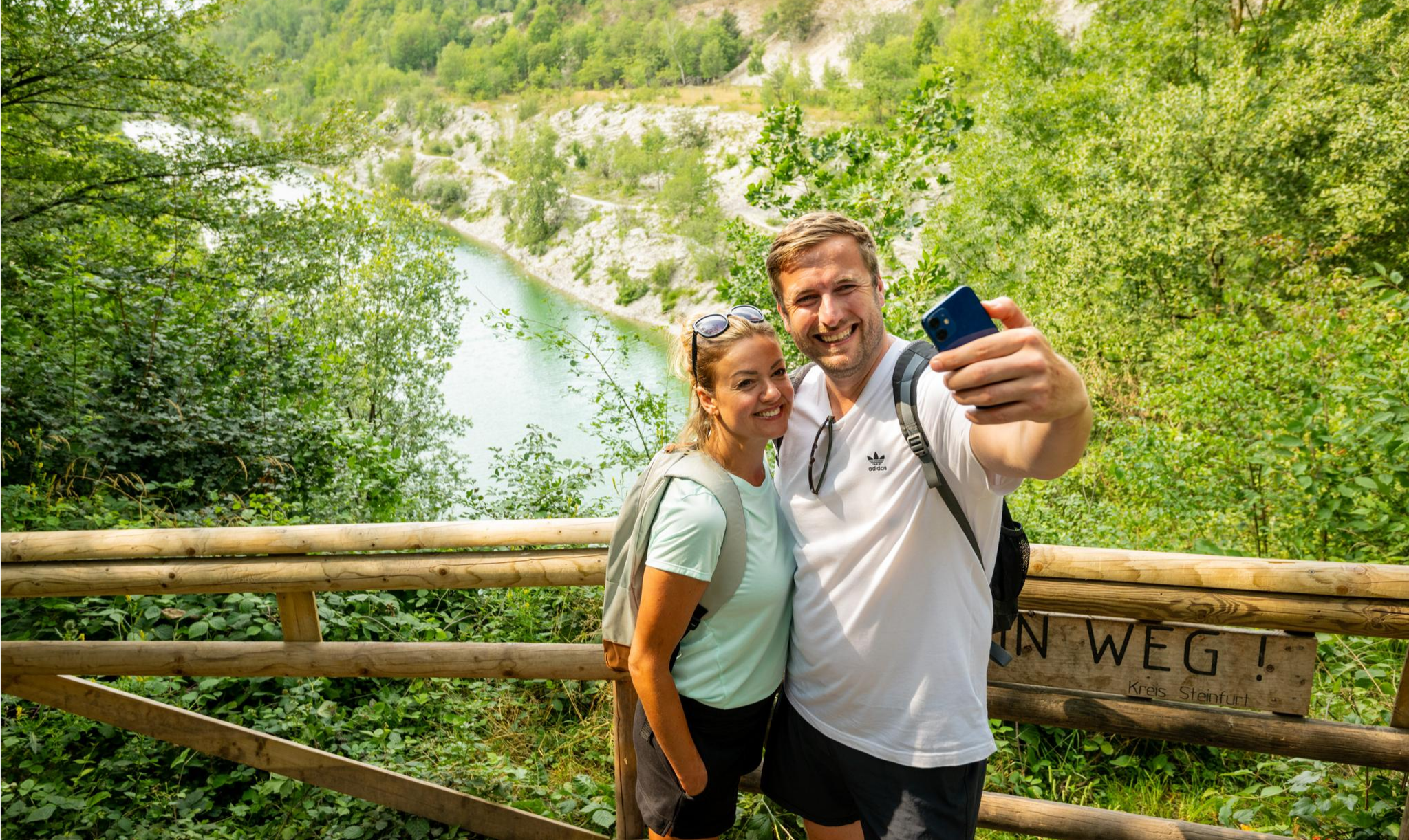
Teutoschleifen – hiking on premium trails in Tecklenburger Land
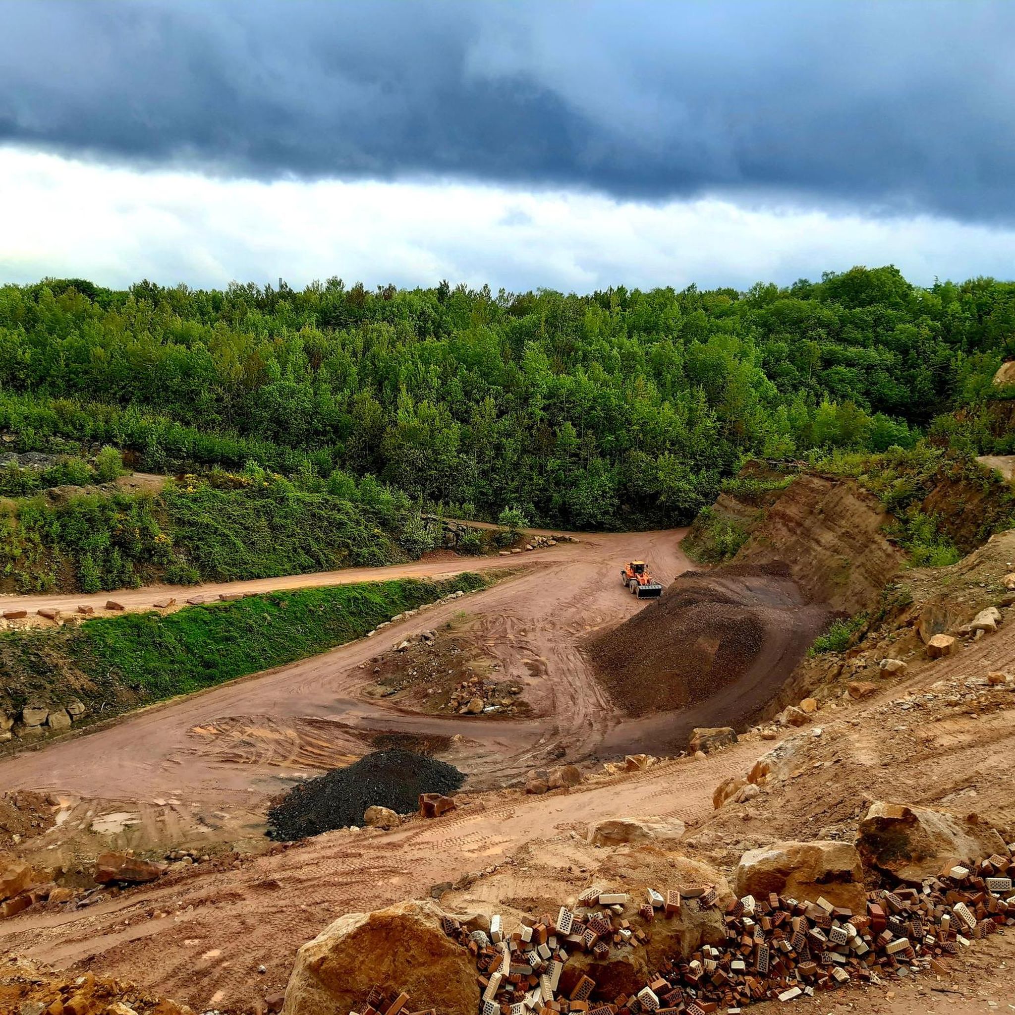
Hiking around Mettingen
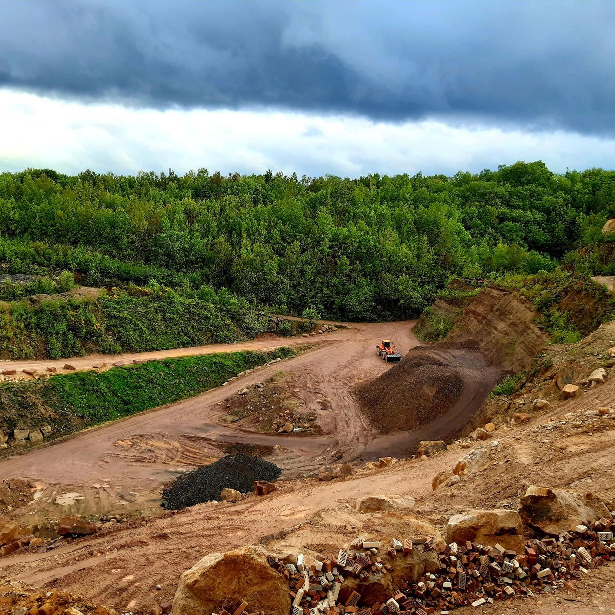
Cycling around Mettingen
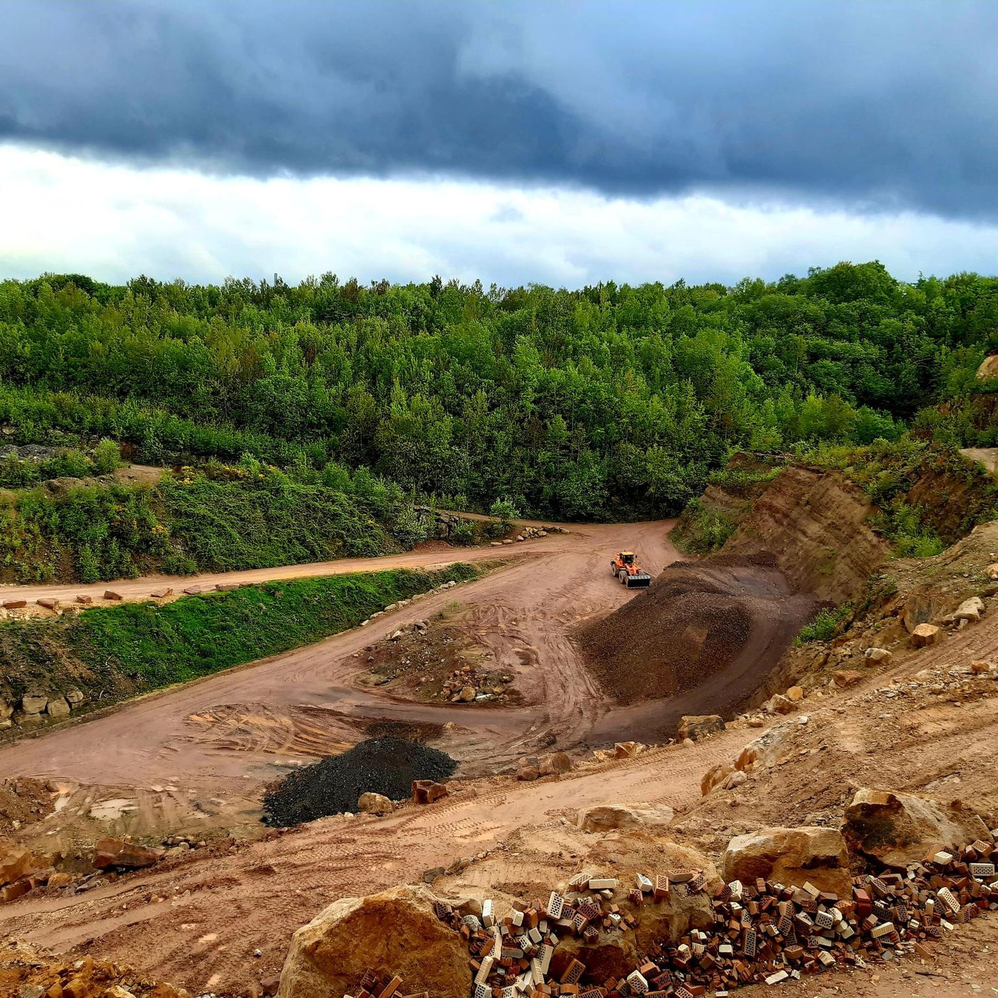
Road Cycling Routes around Mettingen
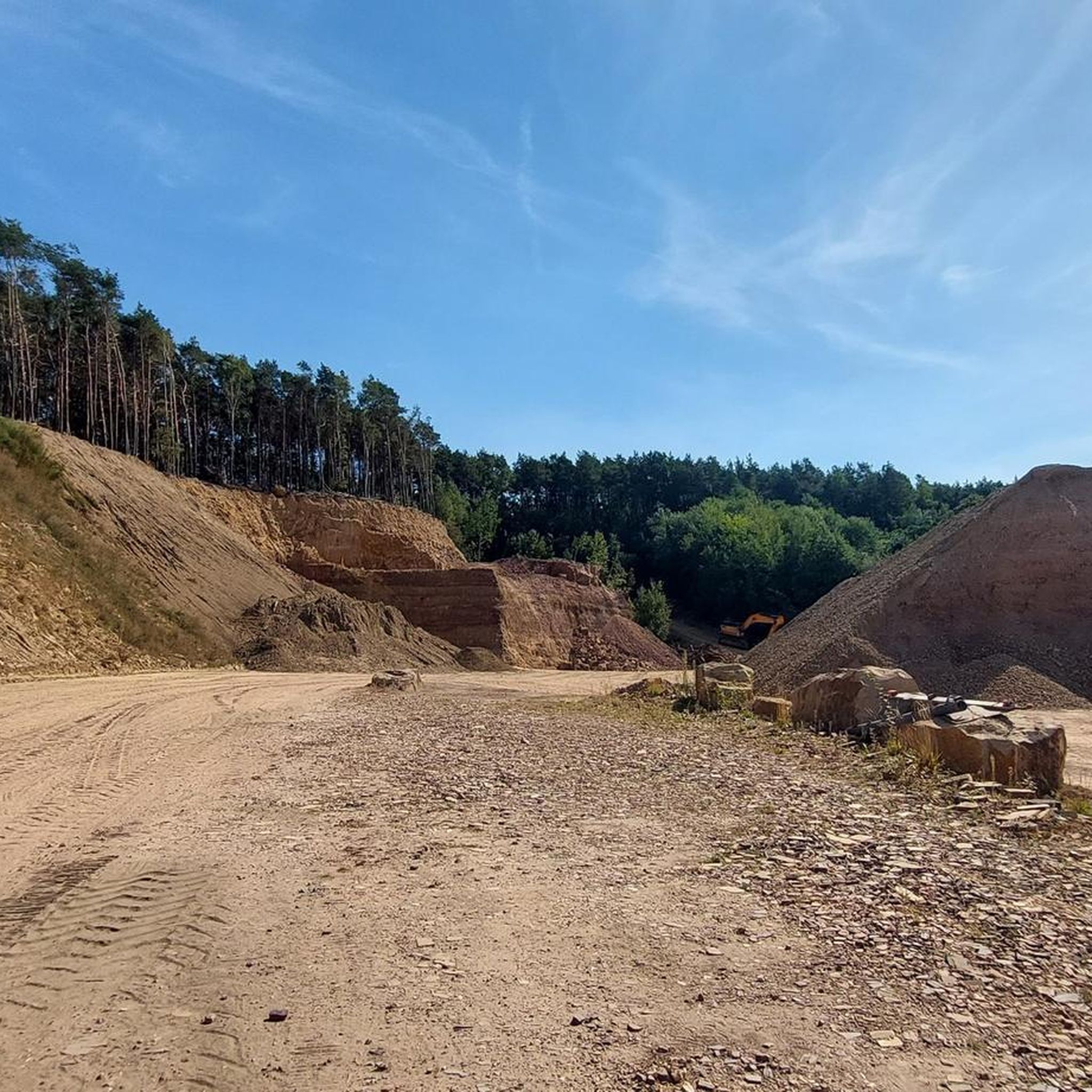
Running Trails around Mettingen
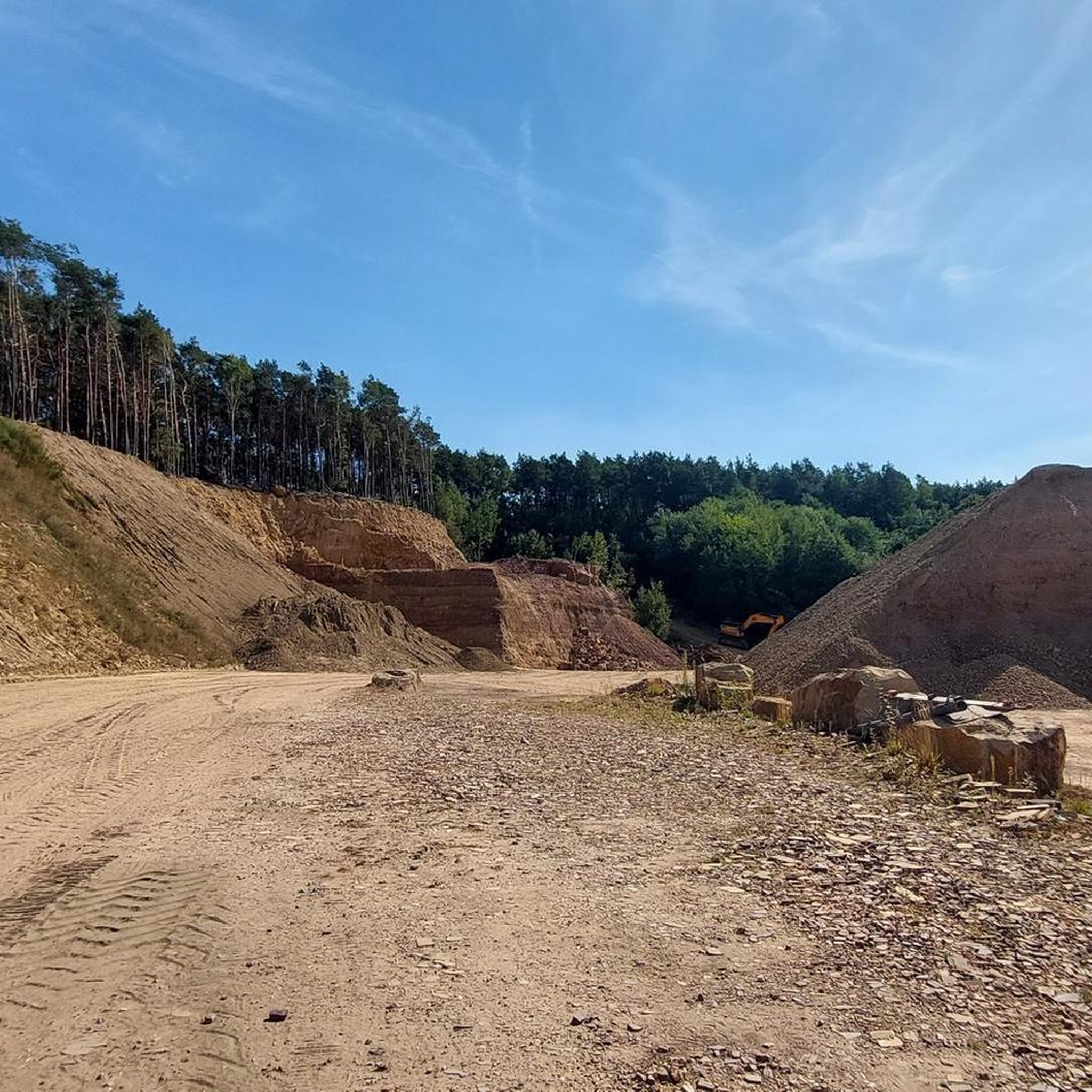
MTB Trails around Mettingen

Gravel biking around Mettingen

Tips from the Community

On the small but charming market square in Tecklenburg, you should definitely take a break. It's beautiful!
17
0

The parking lot isn't all that small, but it still fills up quickly, even with guests from the Netherlands. The exit isn't particularly clear either.
0
0

Currently closed because the steps were too slippery
1
0

A nice place to linger along the route.
1
0

Nice place for a relaxing break with a historic ambience.
6
0

The round is worthwhile for young and old
3
0
A great idea, it is often found at the old Tecklenburg train station
3
0

This part should be climbed in summer; in winter, when it is wet, the rocks are very slippery.
0
1
Frequently Asked Questions
What kind of terrain can I expect on mountaineering routes around Mettingen?
The routes around Mettingen are primarily situated within the hilly landscape of the Teutoburg Forest. You'll encounter diverse scenery, from serene woodlands to open fields, with varying elevations. Notable features include impressive sandstone cliffs and ridge paths, particularly around the Dörenther Cliffs, offering rugged and elevated sections that align with a mountaineering experience.
Are there any challenging mountaineering routes in the Mettingen area?
Yes, while many routes are moderate, there are options for those seeking a more strenuous experience. For example, the Rolandgrab – Bat Cave loop from Tecklenburg is rated as difficult, covering over 21 km with significant elevation changes. The Dörenther Cliffs also offer sections with more challenging terrain.
What are some of the natural landmarks or viewpoints I can see along the routes?
The region boasts several impressive natural features. You can experience the unique sandstone formations of the Dörenther Cliffs, which offer scenic views. Slightly outside Mettingen, but within the broader Teutoburg Forest, you might also find views of the Lengerich Canyon, known for its 'Blue Lagoon'. Specific highlights include the View of Lengerich Canyon and the View of the Blue Lagoon Brochterbeck.
Are the mountaineering routes around Mettingen suitable for families?
While the guide focuses on mountaineering, which implies some challenge, many trails in the broader Teutoburg Forest offer varying difficulty levels. For families, it's best to choose routes explicitly marked as easy or moderate with shorter distances. Always check the route details for elevation gain and distance to ensure it matches your family's fitness level.
Can I bring my dog on the mountaineering trails in Mettingen?
Generally, dogs are welcome on hiking trails in the Teutoburg Forest. However, it's always advisable to keep them on a leash, especially in nature reserves, near wildlife, or in areas with livestock. Some routes, particularly those with steep or rocky sections like parts of the Dörenther Cliffs, might be more challenging for dogs, so consider your dog's agility and endurance.
Are there any circular mountaineering routes available?
Yes, many of the mountaineering routes around Mettingen are designed as loops, allowing you to start and end at the same point. Examples include the popular Mountaineering loop from Dörenthe and the Mountaineering loop from Brochterbecker Osningvorland.
What do other mountaineers enjoy most about the routes in Mettingen?
The routes in Mettingen are highly rated by the komoot community, with an average score of 4.8 stars. Reviewers often praise the diverse terrain, the impressive sandstone cliffs, and the well-maintained paths through the dense woodlands of the Teutoburg Forest. The variety of options, from moderate to difficult, is also frequently highlighted.
How long do the mountaineering trails in Mettingen typically take to complete?
The duration varies depending on the route's length and difficulty, as well as your pace. For instance, the Mountaineering loop from Dörenthe, which is about 9.5 km, typically takes around 2 hours and 39 minutes. Longer routes, like the 13.1 km Mountaineering loop from Brochterbecker Osningvorland, can take over 3 hours.
What is the best time of year for mountaineering in Mettingen?
The Teutoburg Forest region is beautiful year-round. Spring offers lush greenery and blooming wildflowers, while autumn provides stunning fall foliage. Summer is ideal for longer days and warmer weather, though some sections can be exposed. Winter can be picturesque, but trails might be slippery or covered in snow, requiring appropriate gear and caution. Always check local weather conditions before heading out.
Are there any cafes or places to eat near the mountaineering trails?
Mettingen and the surrounding towns like Tecklenburg and Ibbenbüren offer various cafes, restaurants, and pubs where you can refuel after your mountaineering adventure. While specific establishments directly on the trails might be limited, you'll find options in the nearby villages and town centers.
Where can I find parking for the mountaineering routes?
Many trailheads in the Teutoburg Forest region, especially those for popular routes, have designated parking areas. For specific routes, it's best to check the individual tour details on komoot, as they often provide information about starting points and nearby parking facilities. For example, routes starting from Dörenthe or Tecklenburg usually have accessible parking.
Are there any less crowded mountaineering routes around Mettingen?
While popular spots like the Dörenther Cliffs can attract visitors, the extensive network of trails in the Teutoburg Forest means you can often find quieter paths. Exploring routes slightly off the main tourist hubs or venturing out during off-peak hours (early mornings or weekdays) can lead to a more secluded experience. The Rolandgrab loop from Osterklee offers a beautiful journey through varied woodlands.
Most popular routes around Mettingen
Most popular attractions around Mettingen

Get inspired with the komoot mobile app


Explore more
Browse the best Mountain Hikes & Routes in other regions.
