The best road cycling routes around Kelfield
4.6
(113)
4,609
riders
182
rides
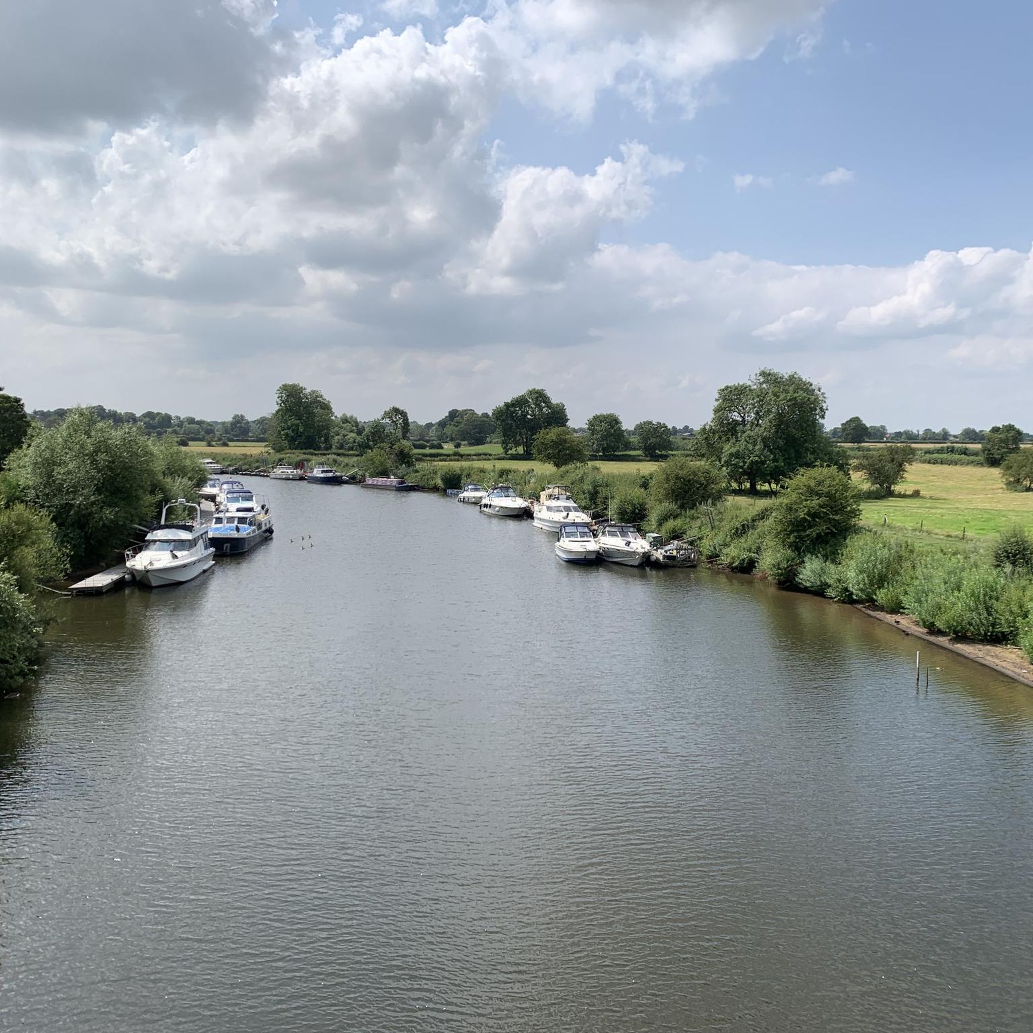
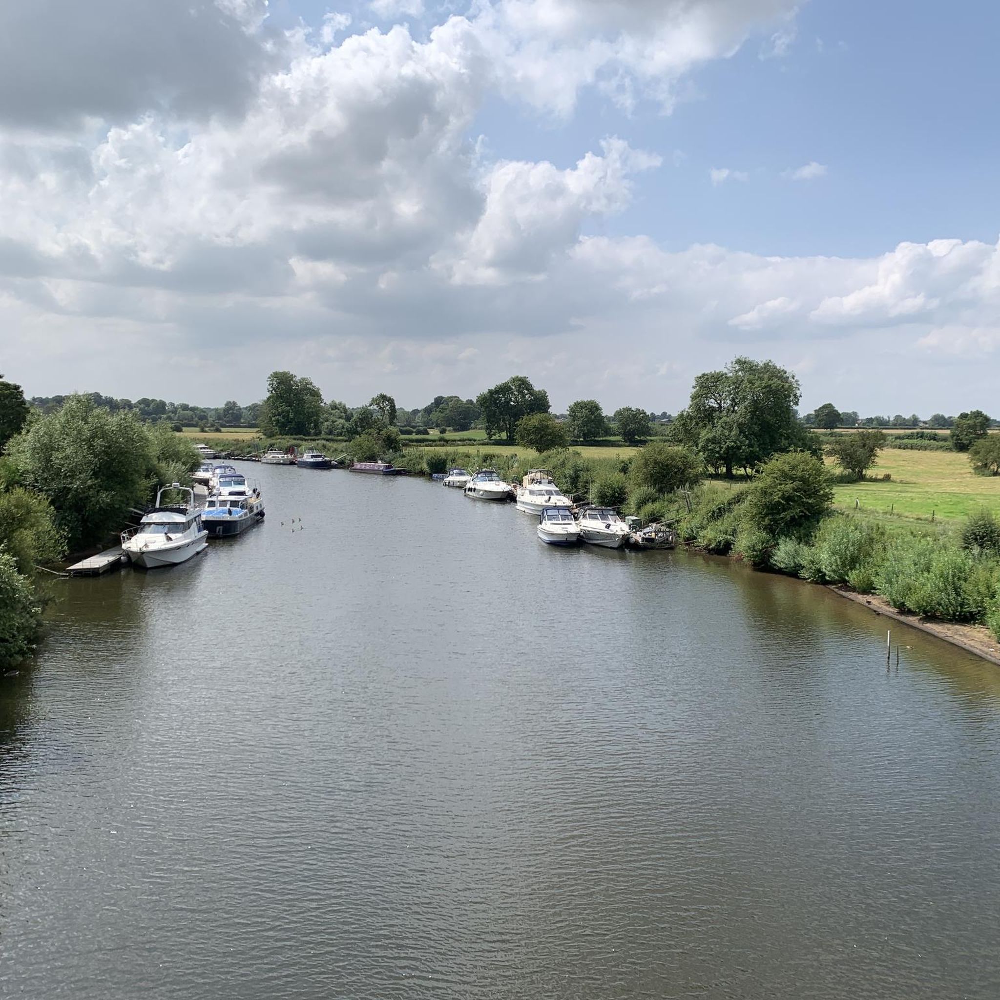
Road cycling routes around Kelfield are characterized by generally flat terrain and gentle gradients, making them accessible for various skill levels. The area features open countryside, often alongside rivers and canals, providing a relaxed cycling experience. Elevation gains are minimal, with most routes remaining below 70 meters, indicating a landscape suitable for easy road bike routes Kelfield. This region offers a network of paths connecting local villages and historical points of interest.
Best road cycling routes around Kelfield
- The most…
Last updated: May 10, 2026
5.0
(11)
157
riders
30.4km
01:10
70m
70m
Easy road ride. Great for any fitness level. Mostly well-paved surfaces and easy to ride.
5.0
(1)
34
riders
21.1km
00:52
30m
30m
Easy road ride. Great for any fitness level. Mostly well-paved surfaces and easy to ride.

Sign up for free
26
riders
20.4km
00:48
50m
50m
Easy road ride. Great for any fitness level. Mostly well-paved surfaces and easy to ride.
5.0
(1)
21
riders
49.9km
02:01
70m
70m
Moderate road ride. Good fitness required. Mostly well-paved surfaces and easy to ride.
19
riders
23.8km
01:02
30m
30m
Easy road ride. Great for any fitness level. Mostly well-paved surfaces and easy to ride.
Get access to more routes and recommendations from other explorers.
Sign up for free
Already have an account?
Our route recommendations are based on thousands of hikes, rides, and runs completed by other people on komoot.
Start today with a free account
Your next adventure awaits.
Login or Signup
Tips from the Community

Most visually appealing part of route
0
0

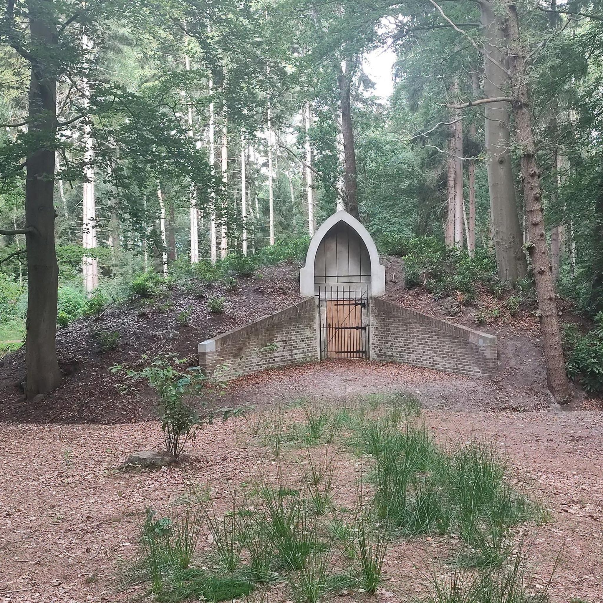
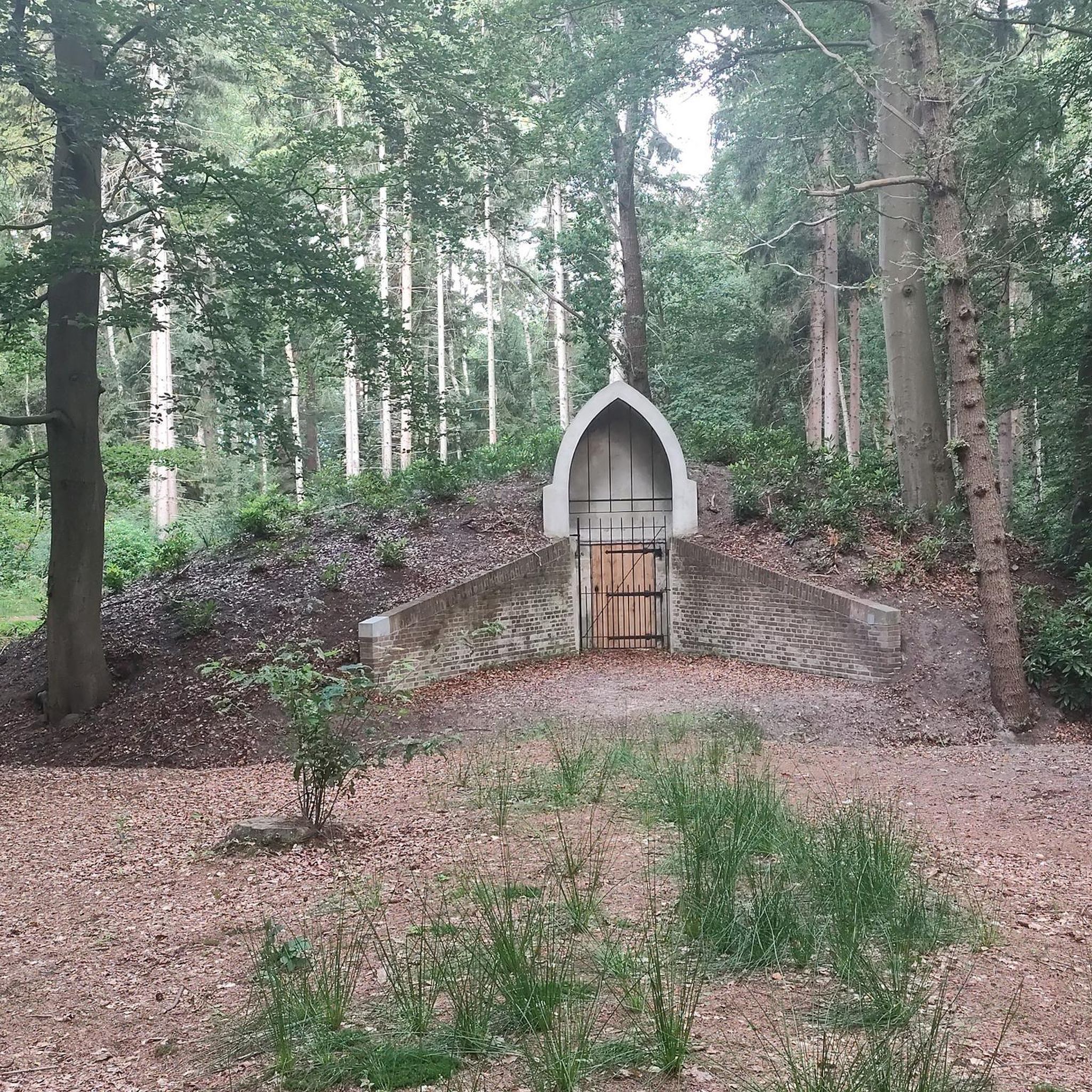
The site's religious history dates back to the Danish period, with an original St. Hilda's Chapel potentially existing as early as 500 AD. Medieval building: By the 12th century, the chapel was in ruins. A new Norman church, dedicated to All Saints, was constructed around 1213. Elements from the earlier structure were incorporated into the new building. Much of the present church has a dominant Perpendicular style from the 14th and 15th centuries. The distinctive, tall bell tower, which serves as a local landmark, was added in the 15th century.
1
0
Built in 2001 for over £4m, the York Millennium Bridge is a pedestrian and cycle bridge over the River Ouse in York, England. It connects New Walk to Terry Avenue, south of the city centre, and is part of a popular circular walking route. The bridge was designed to shorten the walking and cycling routes for people in the South Bank area of the city to the University of York and the city centre. If you are a pedestrian, then keep your wits about you. Cyclists will not give you any room and will not slow down either.
1
0
Don't visit in winter. Very good chance it will be under water, or sludge after the River Ouse floodwaters have receded. Bearing that in mind, YCC and the keepers do a pretty good job of maintaining the park. The park was created in memory of employees of Rowntree's who died in the First World War, and was opened on 16 July 1921 by local entrepreneur and philanthropist Joseph Rowntree. Upon their purchase in 1919, the 17 acres of land cost £1,500. The park now covers an area of 25 acres, with it being extended in 1926/7 with the purchase of Clementhorpe allotments, and further in 2000 with the purchase of Butcher Terrace football fields. The gates at the riverbank entrance are eighteenth-century and were given by the company as a memorial to the people of York who died in the Second World War. There are further commemorative plaques on the dovecote. https://en.wikipedia.org/wiki/Rowntree_Park
1
1

Nice traffic free alternative. Nice also to escape thebheat
0
0


The bridge over the River Ouse features a single leaning arch with cables fanned out like bicycle spokes, symbolizing its purpose as a key link for walkers and cyclists.
1
0
Frequently Asked Questions
What is the general terrain like for road cycling around Kelfield?
The Kelfield area is characterized by generally flat terrain with gentle gradients, making it accessible for various skill levels. You'll find open countryside, often alongside rivers and canals, providing a relaxed cycling experience. Most routes have minimal elevation gain, typically remaining below 70 meters.
How many road cycling routes are available in the Kelfield area?
There are over 180 road cycling routes around Kelfield documented on komoot. This includes a wide variety of options, with approximately 74 easy routes, 104 moderate routes, and 9 more challenging options.
Are there easy road bike routes suitable for beginners in Kelfield?
Yes, Kelfield is ideal for beginners due to its flat agricultural lands and gentle gradients. Many routes are classified as easy, such as the Cawood Castle Gatehouse – Cawood Bridge loop from Cawood, which is 20.9 km long and explores historical village settings.
Can I find challenging road cycling routes near Kelfield?
While the region is predominantly flat, there are a few routes that offer a more challenging experience, often due to longer distances rather than significant elevation. Komoot lists 9 routes categorized as difficult, providing options for those seeking a greater endurance test.
Are there any circular road bike routes around Kelfield?
Yes, many of the road cycling routes in Kelfield are designed as loops, allowing you to start and finish in the same location. An example is the Pickles at Riccall loop from Kelfield, a 20.4 km trail through open countryside.
What kind of scenic viewpoints or attractions can I expect along Kelfield's road cycling routes?
Road cycling routes around Kelfield often feature riverside paths and connections between small villages. You can encounter points of interest like the Bishopthorpe Palace Gatehouse or cycle alongside the Selby Canal. The Trans Pennine Trail: Selby to York Cycle Path also offers a dedicated cycling experience.
What do other road cyclists say about the routes in Kelfield?
The road cycling routes in Kelfield are highly rated by the komoot community, with an average score of 4.6 stars from over 100 reviews. Cyclists often praise the quiet agricultural lands, riverine paths, and the ease of connecting between charming local villages.
Are there any longer road cycling routes for extended rides?
Yes, for longer rides, consider routes like the Selby Canal – Howden Minster Ruins loop from Riccall. This moderate route covers nearly 50 km, offering a more extensive exploration of the area's canals and historical sites.
Which routes connect urban parks with riverside paths?
The York Millennium Bridge – Rowntree Park loop from Riccall is a popular choice that connects scenic urban parks with pleasant riverside paths, offering a diverse cycling experience over 30 km.
Are there routes that explore historical village settings and river crossings?
Absolutely. The Cawood Bridge – Cawood Castle Gatehouse loop from Riccall is an excellent option for this, taking you through historical village settings and across river crossings on an easy 23.8 km ride.
What is the best time of year for road cycling in Kelfield?
Given the generally flat terrain and open countryside, Kelfield is pleasant for road cycling from spring through autumn. The minimal elevation makes it less susceptible to extreme weather challenges, though checking local weather forecasts is always recommended.
Are there road cycling routes that are less crowded?
Many of the routes in Kelfield traverse open agricultural lands and connect smaller villages, which generally means they are less crowded than routes closer to larger urban centers. Exploring some of the lesser-known loops can offer a more tranquil experience.
Most popular routes around Kelfield
Most popular attractions around Kelfield

Get inspired with the komoot mobile app


Explore more
Browse the best Road cycling routes in other regions.
