The best mountain hikes around Neu-Anspach
4.9
(11)
47
hikers
27
hikes
Mountaineering routes around Neu-Anspach traverse the varied terrain of the Hochtaunuskreis region, characterized by its forested hills and prominent peaks like Großer Feldberg and Altkönig. The landscape features a mix of dense woodlands, open ridges, and historical sites. Elevations provide consistent ascents and descents, making it suitable for different mountaineering difficulty levels.
Best mountaineering routes around Neu-Anspach
- The most popular mountaineering route is Altkönig Summit – Rocky Trail on Altkönig loop from Großer Feldberg, a 4.9 miles (7.9 km)…
Last updated: October 5, 2026
4.7
(3)
8
hikers
17.6km
05:35
700m
700m
Hard mountaineering route. Very good fitness required. Mostly accessible paths. Sure-footedness required.
1
hikers
Moderate mountaineering route. Good fitness required. Mostly accessible paths. Sure-footedness required.

5.0
(2)
4
hikers
Moderate mountaineering route. Good fitness required. Mostly accessible paths. Sure-footedness required.
6
hikers
Moderate mountaineering route. Good fitness required. Mostly accessible paths. Sure-footedness required.
18.9km
05:48
660m
660m
Hard mountaineering route. Very good fitness required. Mostly accessible paths. Sure-footedness required.
Get access to more routes and recommendations from other explorers.
Already have an account?
Our route recommendations are based on thousands of hikes, rides, and runs completed by other people on komoot.
Start today with a free account
Your next adventure awaits.
Popular around Neu-Anspach

History, forest and gnomes – hiking in Germany’s Hochtaunus region

A journey through time – the most beautiful routes in the Taunus Nature Park
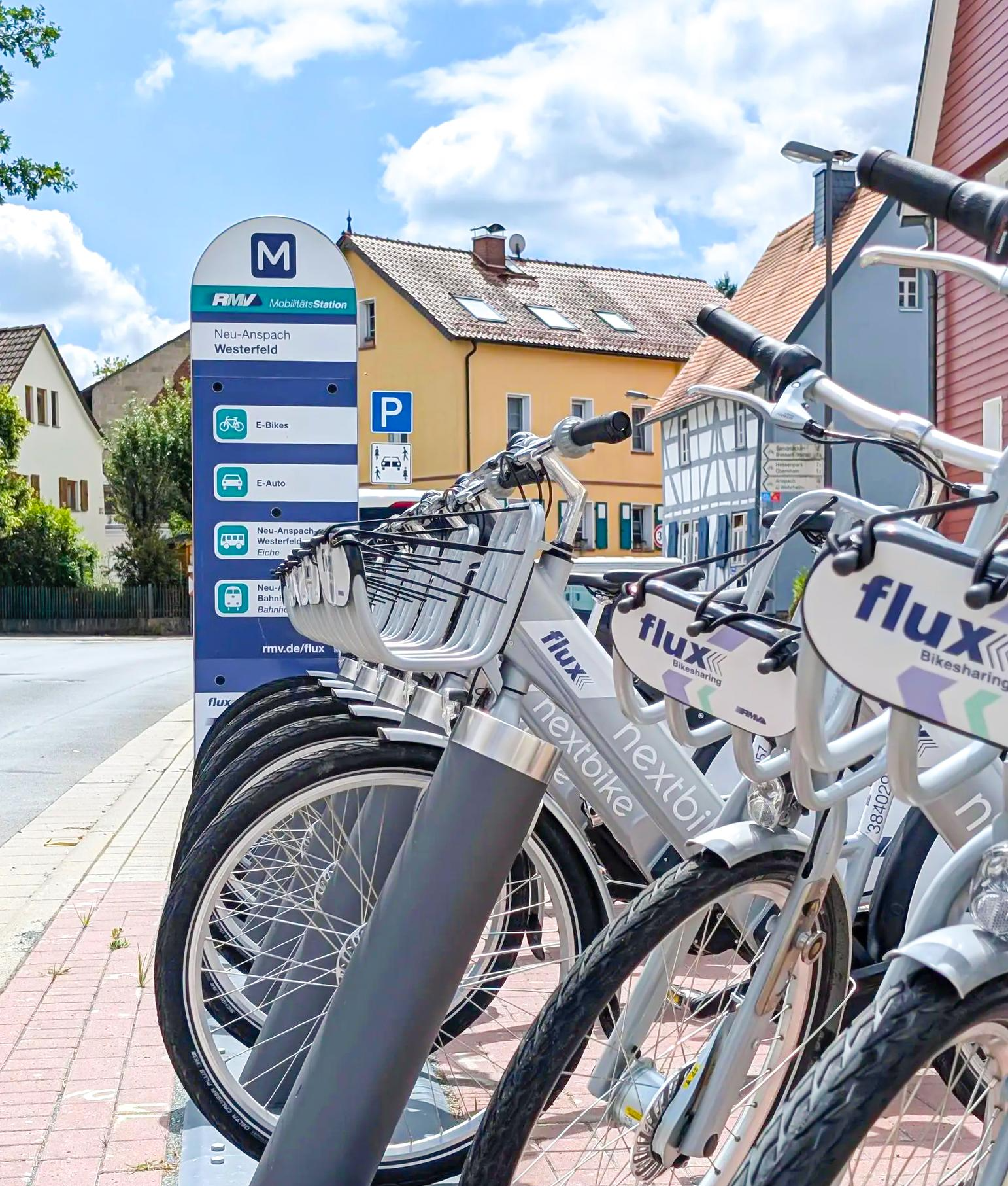
Mit flux & Bahn – Radtouren im Usinger Land
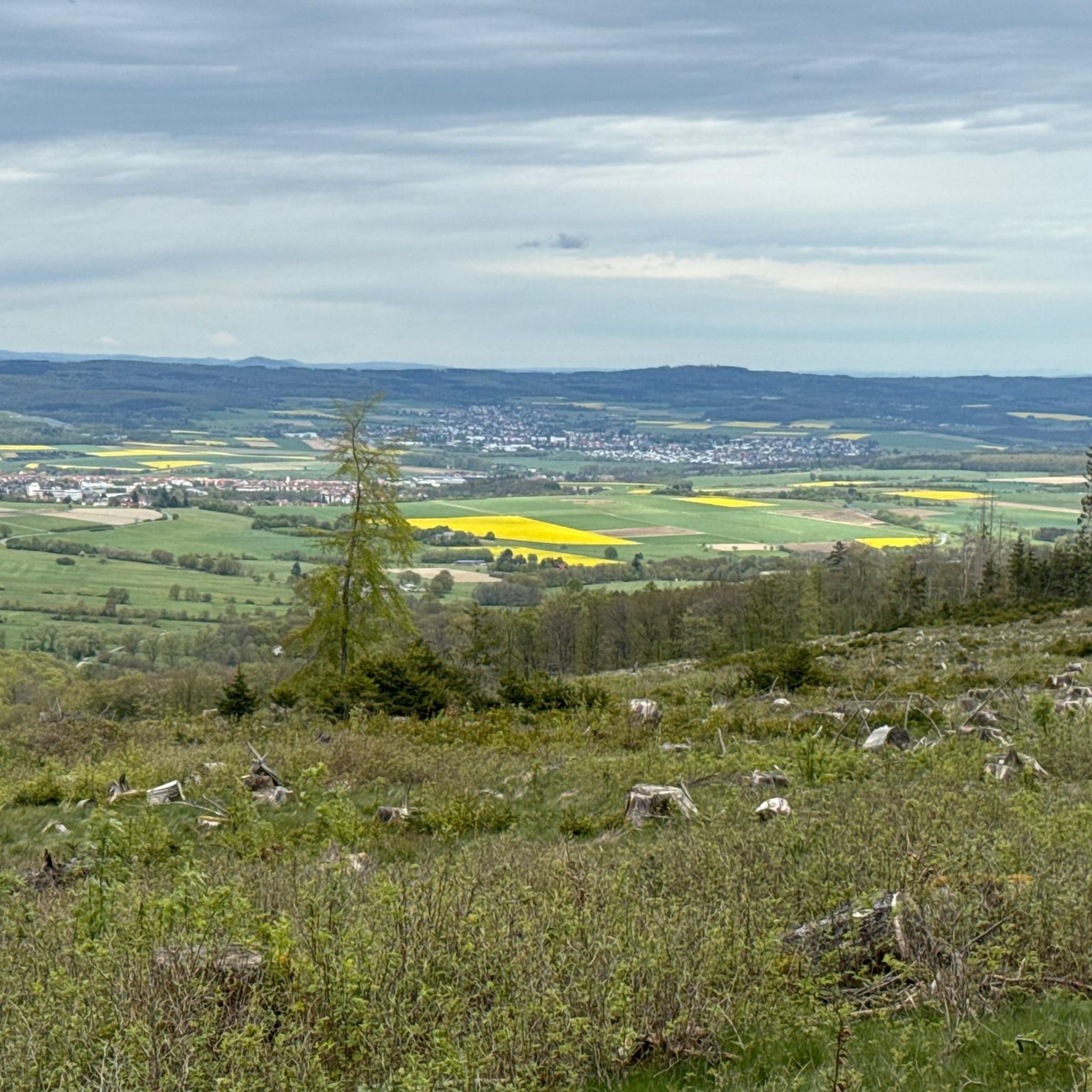
Hiking around Neu-Anspach
Cycling around Neu-Anspach
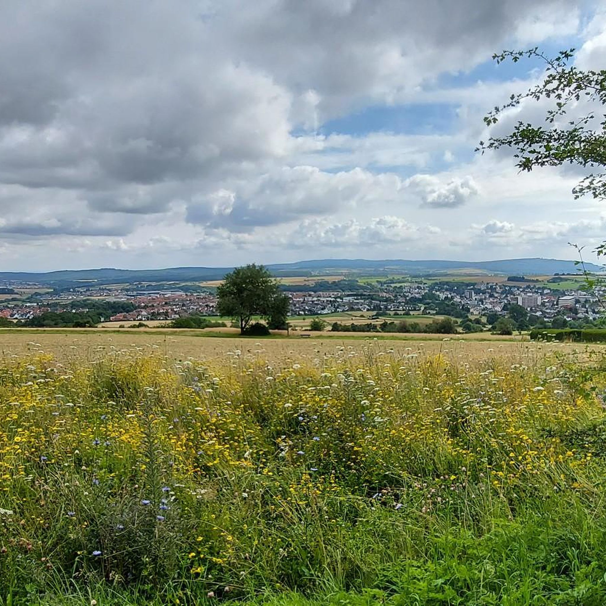
Road Cycling Routes around Neu-Anspach
MTB Trails around Neu-Anspach
Running Trails around Neu-Anspach

Gravel biking around Neu-Anspach
Other adventures around Neu-Anspach


Tips from the Community

Nice little break spot. Many illegal fire pits
0
0

Today I saw the new summit cross. ⛰️
1
0

The White Wall in the Taunus Mountains is a quartzite field formed during the Ice Age on the Altkönig mountain by frost weathering. It lies at a maximum elevation of 634 meters above sea level [1] near Oberursel in the Hochtaunus district of Hesse. The area is designated as a nature reserve 🤩
14
0
Lots of rubble but worth seeing.
1
0

Simply wonderful and delicious climb 😜
1
0
Sneakers not recommended, surefootedness and stability are required here 🤗
1
1

The mountain rescue station on the Feldberg is an important base for the mountain rescue service, which ensures safety in the surrounding hiking and skiing areas. It is located near the highest point of the Feldberg and serves as a rescue and care station for mountain accidents. Hikers and skiers can receive help here in an emergency, and the station is also a contact point for the mountain rescue service, which is regularly active in the region.
7
0
Frequently Asked Questions
What kind of terrain can I expect on mountaineering routes around Neu-Anspach?
The mountaineering routes around Neu-Anspach traverse the varied terrain of the Hochtaunuskreis region. You can expect a mix of dense woodlands, open ridges, and consistent ascents and descents across forested hills and prominent peaks like Großer Feldberg and Altkönig.
Are there any easy mountaineering routes suitable for beginners in Neu-Anspach?
Yes, Neu-Anspach offers routes suitable for beginners. While most routes are moderate, there is at least one easy mountaineering route available. These trails are generally well-suited for those new to mountaineering, allowing you to experience the region's beauty without extreme challenges.
Are there challenging mountaineering routes for experienced hikers?
Absolutely. For experienced mountaineers seeking a challenge, Neu-Anspach offers several difficult routes. For example, the Anita's Fuchstanz – Großer Feldberg Summit loop from Hohemark is a demanding 21.5 km trail with significant elevation gain, perfect for those looking for a strenuous ascent.
What are some notable historical sites or landmarks along the mountaineering routes?
The region is rich in history. Many routes pass by ancient ringwall fortifications, such as those found on the Altkönig Ringwall – Altkönig Summit loop from Hohemark. You might also encounter remnants of Roman forts, like on the Kleiner Feldberg Roman Fort – Großer Feldberg Summit loop from Reifenberger Wiesen.
Are there any circular mountaineering routes in the area?
Yes, many of the mountaineering routes around Neu-Anspach are designed as circular loops, offering a convenient way to explore the landscape without retracing your steps. Examples include the Altkönig Summit – Rocky Trail on Altkönig loop from Großer Feldberg and the Großer Feldberg Summit – Anita's Fuchstanz loop from Hohemark.
What kind of wildlife might I encounter on the trails?
The forested areas of the Hochtaunuskreis are home to various wildlife. While specific sightings are never guaranteed, you might spot deer, wild boar, various bird species, and smaller forest animals. Maintaining a quiet presence increases your chances of an encounter.
Are there places to eat or rest along the mountaineering routes?
Yes, you'll find several huts and forest inns that offer refreshments and a place to rest. A popular spot is Anita's Fuchstanz, a well-known restaurant, or the Fuchstanz: The Forest Inn. These are often located strategically along longer routes.
Are there any waterfalls or scenic water features to see?
Yes, the region around Neu-Anspach features several beautiful water features. You can visit the Billtal Waterfall, the Grünbach Waterfall and Pond, or even the impressive Large waterfall in the Taunus, which are often accessible from nearby trails.
What do other mountaineers say about the routes in Neu-Anspach?
The mountaineering routes in Neu-Anspach are highly rated by the komoot community, with an average score of 4.9 stars from numerous reviews. Mountaineers often praise the diverse landscape, the well-maintained trails, and the rewarding views from prominent summits like Großer Feldberg and Altkönig.
What is the best time of year for mountaineering in Neu-Anspach?
The best time for mountaineering in Neu-Anspach is typically from spring through autumn, when the weather is milder and the trails are clear. Spring offers lush greenery, while autumn provides stunning fall foliage. While winter mountaineering is possible, some trails may be challenging due to snow and ice, requiring appropriate gear.
How many mountaineering routes are available in the Neu-Anspach area?
There are over 30 distinct mountaineering routes available around Neu-Anspach, offering a wide range of distances and difficulty levels to suit various preferences and fitness levels.
Are there any viewpoints or observation towers along the routes?
Yes, the region offers several excellent viewpoints. You might come across the Lips Temple Observation Tower or the Gilboa Temple Viewpoint on Hünerberg, both providing panoramic views of the surrounding Hochtaunus landscape.
Most popular routes around Neu-Anspach
Most popular attractions around Neu-Anspach

Get inspired with the komoot mobile app


Explore more
Browse the best Mountain Hikes & Routes in other regions.
