The best running trails around Raunheim
4.4
(88)
737
runners
23
runs
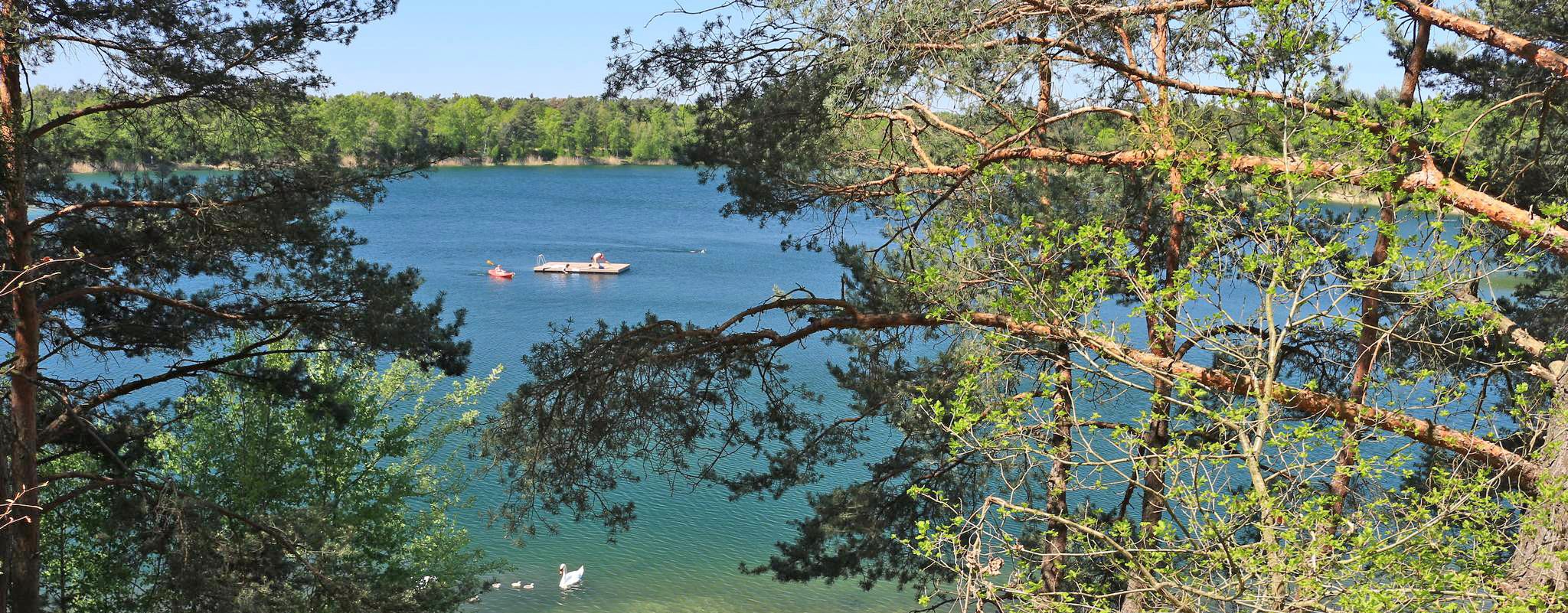
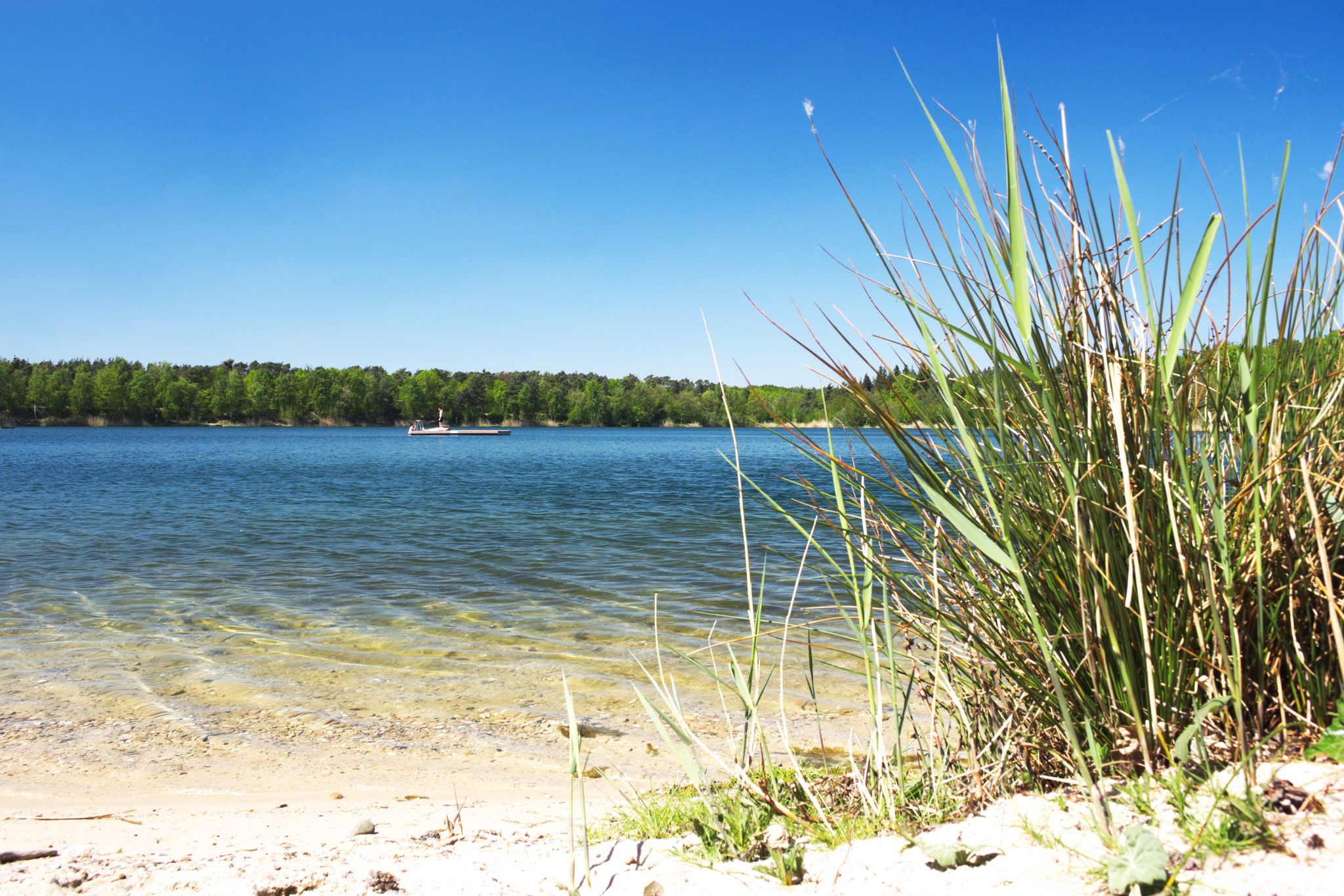
Jogging routes around Raunheim are characterized by their diverse natural features, including the Main River and its floodplains, as well as the Raunheimer Waldsee. The terrain is generally flat, with minimal elevation changes, making it suitable for various fitness levels. Extensive networks of well-maintained paths traverse rural scenery and connect to nearby forest parks.
Best jogging routes around Raunheim
- The most popular jogging route is Leinreiter Statue Rüsselsheim – Opel Villas Rüsselsheim loop from Raunheim, a 5.7 miles (9.1…
Last updated: October 4, 2026
4.8
(5)
187
runners
Moderate run. Good fitness required. Mostly paved surfaces. Suitable for all skill levels.
4.3
(61)
119
runners
12.8km
01:19
20m
20m
Moderate run. Good fitness required. Mostly paved surfaces. Suitable for all skill levels.

5.0
(2)
60
runners
7.53km
00:47
20m
20m
Moderate run. Good fitness required. Mostly paved surfaces. Suitable for all skill levels.
59
runners
9.81km
01:03
30m
30m
Moderate run. Good fitness required. Mostly accessible paths. Some sure footedness required.
5.0
(1)
55
runners
Moderate run. Good fitness required. Mostly paved surfaces. Suitable for all skill levels.
Get access to more routes and recommendations from other explorers.
Already have an account?
Our route recommendations are based on thousands of hikes, rides, and runs completed by other people on komoot.
Start today with a free account
Your next adventure awaits.
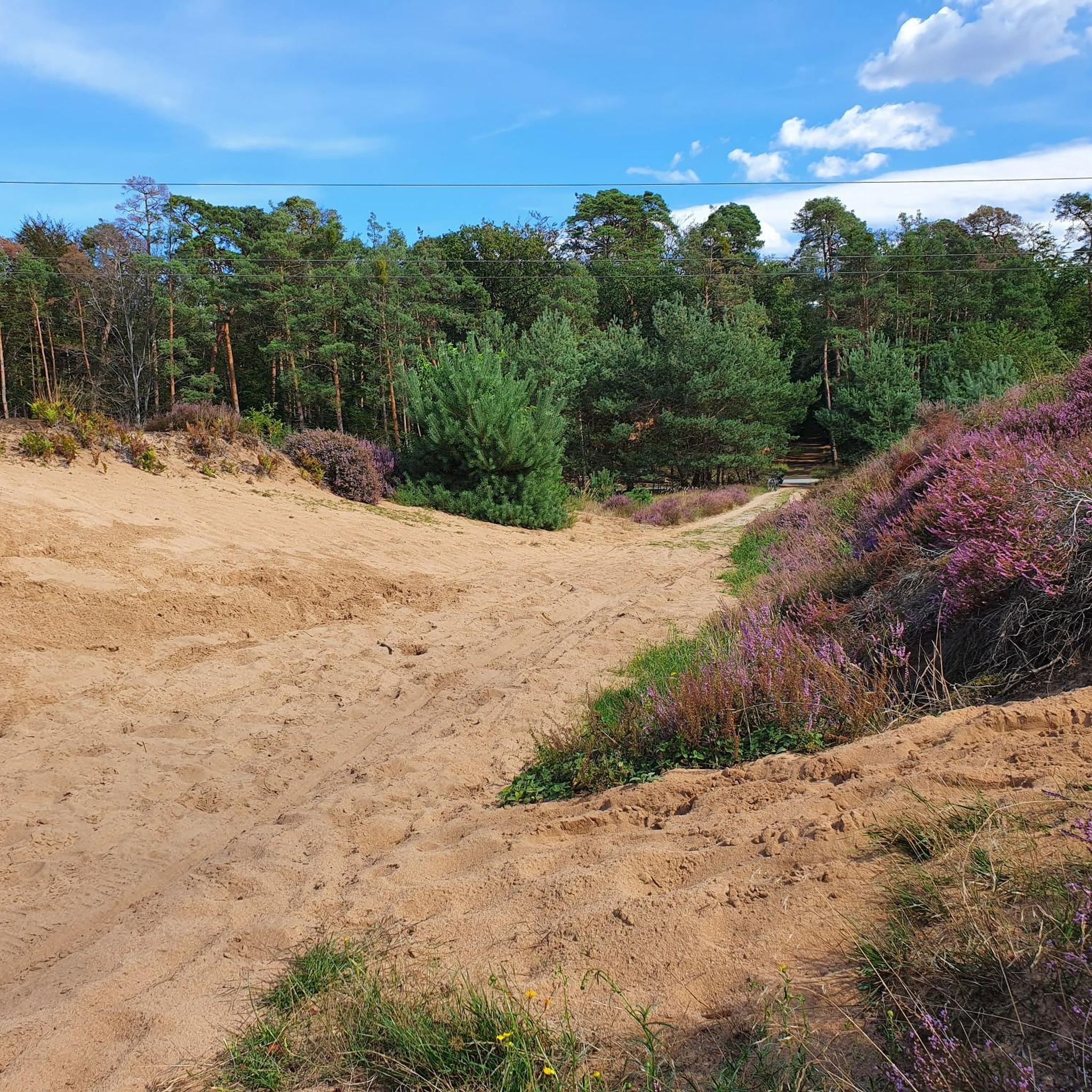
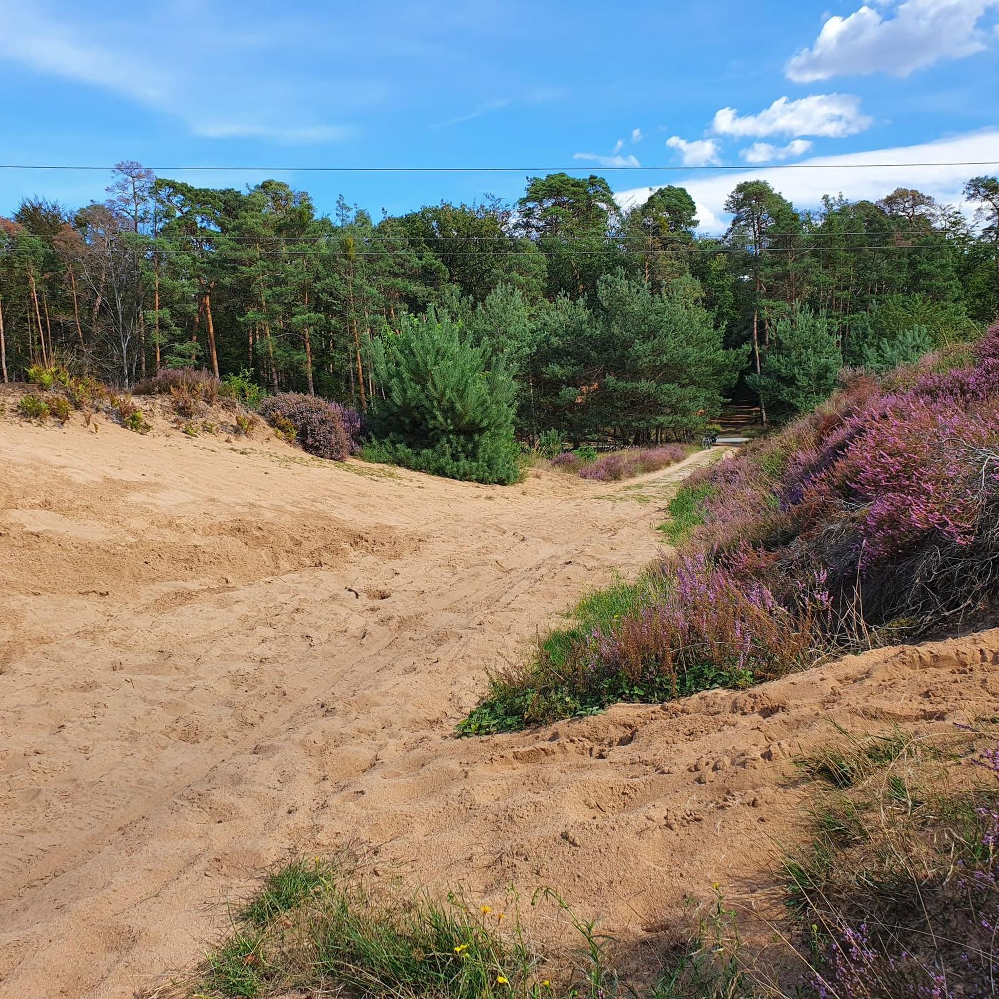
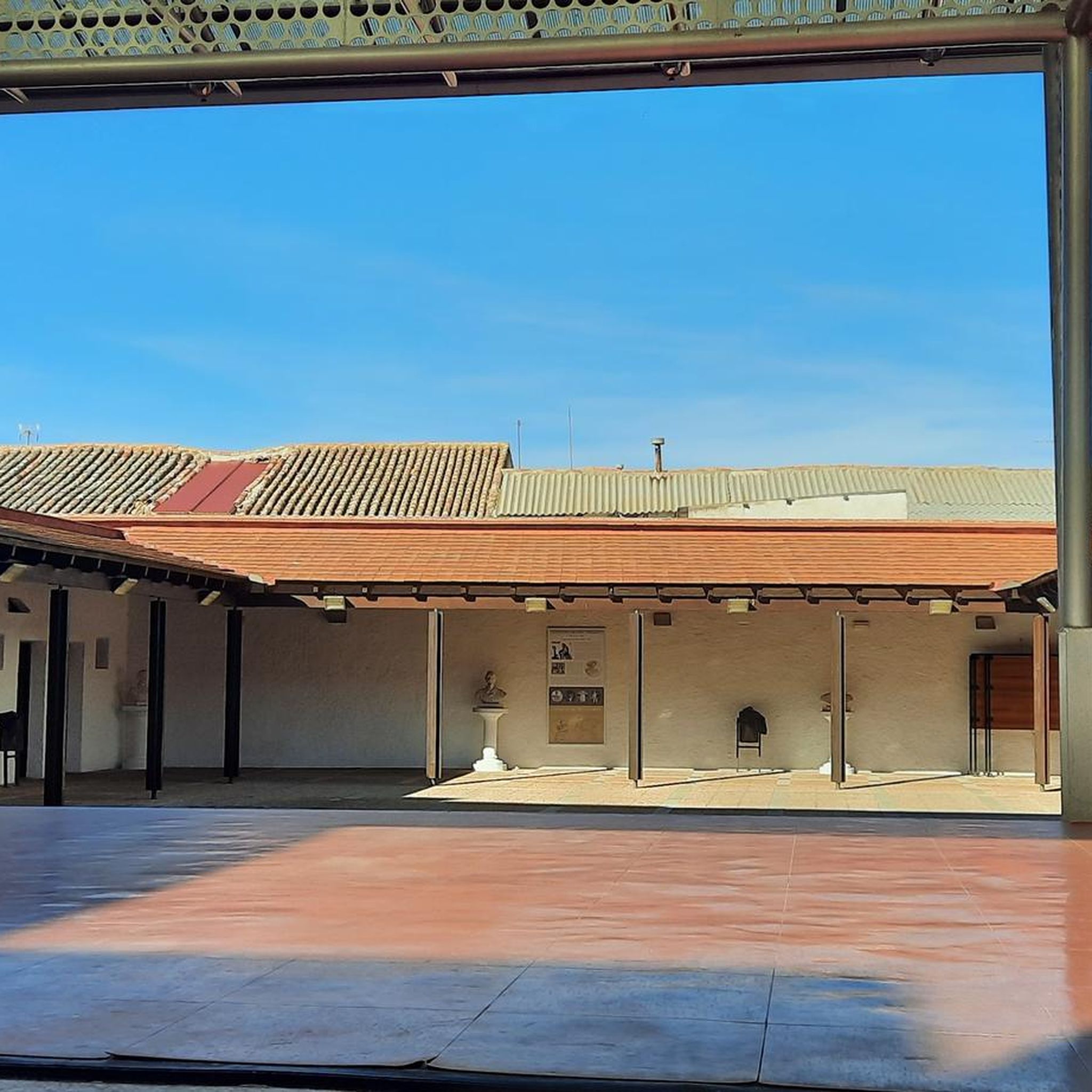

Tips from the Community

A nice resting place
0
0

The cycle path along the Horlache or Horlach-Graben is highly recommended on both sides. Good to ride and various spots with installations are not to be disdained. A little about the history: The Horlach-Graben itself is the remnant of a so-called flood channel, which was used from the 13th century by local monks of the Eberbach monastery to gain agricultural land through drainage. The Horlach-Graben is an original arm of the Rhine. For those interested: https://de.wikipedia.org/wiki/Horlache
1
0
The cycle path along the Horlache or Horlachgraben is highly recommended on both sides. Good to ride and various spots with installations are not to be underestimated. A little about the history: The Horlachgraben itself is the remnant of a so-called flood channel, which was used from the 13th century by local monks of the Eberbach Monastery to gain arable land through drainage. The Horlachgraben is an original arm of the Main river. For those interested: de.wikipedia.org/wiki/Horlache
1
0
The cycle path along the Horlache or Horlachgraben is highly recommended on both sides. Good to ride and various spots with installations are not to be disdained. A little bit about the history: The Horlachgraben itself is the remnant of a so-called flood ditch, which was used from the 13th century by local monks of the Eberbach monastery to gain arable land through drainage. The Horlachgraben is an original old arm of the Main river. For those interested: de.wikipedia.org/wiki/Horlache
1
0
The cycle path along the Horlache or the Horlachgraben is highly recommended on both sides. Good to ride and various spots with installations are not to be disdained. A little about the history: The Horlachgraben itself is the remnant of a so-called flood channel, which was used from the 13th century by the local monks of the Eberbach monastery to gain arable land through drainage. In doing so, the Horlachgraben is an original arm of the Main. For those interested: de.wikipedia.org/wiki/Horlache
1
0

The 5 stations (agriculture, forest, built-up area, flora, fauna and water) of the Regional Park Climate Route offer a small, exciting and informative contribution to the current discussion about climate and climate change.
2
0

A pretty little bench not far from the west runway, beautifully covered with moss.
0
0

In hot weather, the city's auxiliary heating kicks in. Climate change is bringing more hot days. And in densely built-up cities, it's even triggering an extra heating system: buildings and road surfaces, with their large areas, store the heat and release it slowly or reflect it back like a mirror. It's warmer in cities than in the surrounding countryside. * You can experience this for yourself here on the bench. Take a seat above different surfaces: Dark asphalt, grass, grass under a shady tree, water-bound limestone gravel, and light-colored concrete paving. They are all different temperatures – warm or cool. Water can evaporate from bare soil, especially if it's covered with vegetation. This cools the air. That's why natural green spaces are particularly important in built-up areas. It starts with small things: a planted front garden, a green facade, and a planted backyard all contribute to cooling. You can see how sealed surfaces affect us by sitting on concrete and asphalt: Even these few square meters radiate heat in the sunshine.
15
0
Frequently Asked Questions
How many running routes can I find around Raunheim?
Raunheim offers a good selection of over 20 running routes. These trails cater to various fitness levels, with the majority being moderate in difficulty, ensuring a suitable option for almost every runner.
What kind of terrain can I expect on Raunheim's jogging trails?
The jogging routes around Raunheim are generally flat with minimal elevation changes, making them accessible for many. You'll find well-maintained paths traversing diverse rural scenery, including riverside paths along the Main, trails around the Raunheimer Waldsee, and routes through nearby forest parks.
Are there any family-friendly running routes in Raunheim?
Yes, Raunheim's generally flat terrain and well-maintained paths make many routes suitable for families. For a pleasant outing, consider the trails around the Raunheimer Waldsee or the riverside paths along the Main, which offer easy surfaces and scenic views for all ages.
Can I bring my dog on the running trails in Raunheim?
Many of Raunheim's outdoor areas, including riverside paths and forest trails, are dog-friendly. However, it's always recommended to keep your dog on a leash, especially in nature reserves like the Mönchbruch Nature Reserve, and to respect local regulations regarding pets.
What do other runners enjoy most about jogging in Raunheim?
The running routes in Raunheim are highly rated by the komoot community, with an average score of 4.2 stars from over 70 reviews. Runners often praise the diverse natural features, such as the Main River and the Raunheimer Waldsee, and the well-maintained, generally flat paths that make for enjoyable running experiences.
Are there any circular running routes available?
Yes, many of the running routes in Raunheim are designed as loops, offering convenient circular paths. For example, the Leinreiter Statue Rüsselsheim – Opel Villas Rüsselsheim loop from Raunheim is a popular 5.7-mile circular trail that provides views of local landmarks and the Main River.
What natural features or landmarks can I see while running in Raunheim?
Raunheim's routes offer a variety of sights. You can run along the picturesque Main River and its floodplains, explore the tranquil Raunheimer Waldsee, or pass by the distinctive Ölhafen Bridge Raunheim. The Main estuary is another notable natural landmark.
Are there good viewpoints along the running routes?
Yes, several routes offer scenic viewpoints. The Ölhafen Bridge Raunheim itself provides panoramic views of the Main River and the port. Additionally, the Mönchbruch Nature Reserve Observation Tower, located nearby, offers expansive views of the area.
Where can I find parking for the running trails?
Many popular trailheads and recreational areas in Raunheim, such as those near the Raunheimer Waldsee or along the Main River, offer designated parking facilities. It's advisable to check specific route descriptions for detailed parking information.
Is Raunheim accessible by public transport for runners?
Raunheim is well-connected by public transport, making it easy to reach various starting points for running routes. The town's location within the larger Rhine-Main area means good access to regional train and bus services, allowing runners to reach trails along the Main River or near the Waldsee conveniently.
Are there any cafes or pubs near the running routes?
Yes, you can find cafes and pubs, especially near popular recreational spots. The area around the Raunheimer Waldsee and along the Main River, particularly near the Kelsterbach Riverside Terrace, offers options for refreshments after your run.
What is the best time of year to go running in Raunheim?
Raunheim is suitable for running year-round. Spring and autumn offer pleasant temperatures and beautiful scenery, while summer allows for refreshing runs along the river or lake. Even in winter, many of the well-maintained paths remain accessible, though conditions might vary, especially around the Raunheimer Waldsee.
Are there any longer running routes for experienced runners?
Yes, for those seeking a longer challenge, Raunheim offers routes like the View of the Horlachgraben – Horlach Loop loop from Raunheim. This moderate 7.9-mile path explores the natural surroundings of the Horlachgraben, providing a scenic and extended running experience.
Most popular attractions around Raunheim

Get inspired with the komoot mobile app


Explore more
Browse the best Running Trails & Routes in other regions.
