The best running trails around Oberkrämer
4.8
(84)
619
runners
61
runs
Jogging routes around Oberkrämer traverse a diverse landscape characterized by a blend of lakes, meadows, and forests. The region offers an extensive network of trails, including sections of the 66 Lakes Hiking Trail, known for its flatland routes. Runners can experience varied scenery, from open fields to the dense woodlands of Krämer Forst Regional Park. The terrain includes gentle elevations and varied relief, providing options for different running preferences.
Best jogging routes around Oberkrämer
- The most popular jogging route is…
Last updated: July 10, 2026
4.9
(10)
45
runners
Moderate run. Good fitness required. Mostly paved surfaces. Suitable for all skill levels.
4.9
(8)
39
runners
Moderate run. Good fitness required. Mostly paved surfaces. Suitable for all skill levels.

Sign up for free
4.8
(6)
23
runners
Moderate run. Good fitness required. Mostly paved surfaces. Suitable for all skill levels.
5.0
(1)
29
runners
12.1km
01:18
20m
20m
Moderate run. Good fitness required. Mostly paved surfaces. Suitable for all skill levels.
19
runners
10.4km
01:08
10m
10m
Moderate run. Good fitness required. Mostly paved surfaces. Suitable for all skill levels.
Get access to more routes and recommendations from other explorers.
Sign up for free
Already have an account?
Our route recommendations are based on thousands of hikes, rides, and runs completed by other people on komoot.
Start today with a free account
Your next adventure awaits.
Login or Signup
Other adventures around Oberkrämer

Tips from the Community

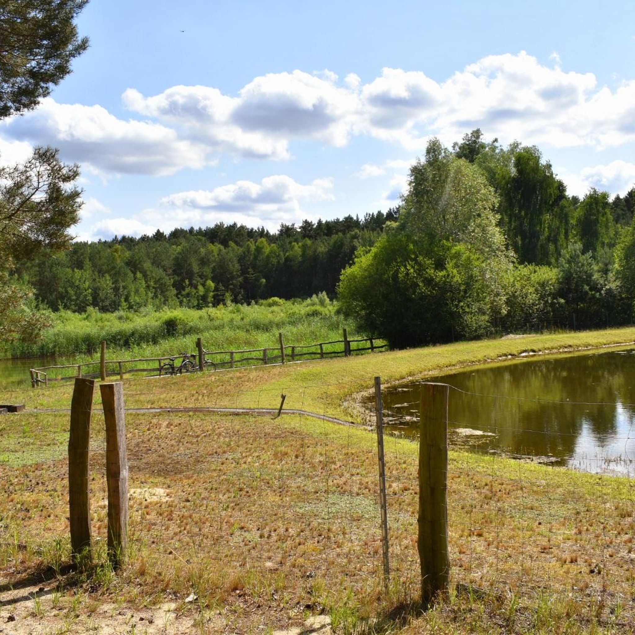
A good cycle path, one of the few in this part of Havelland.
0
0

An information board is located at the entrance.
0
0


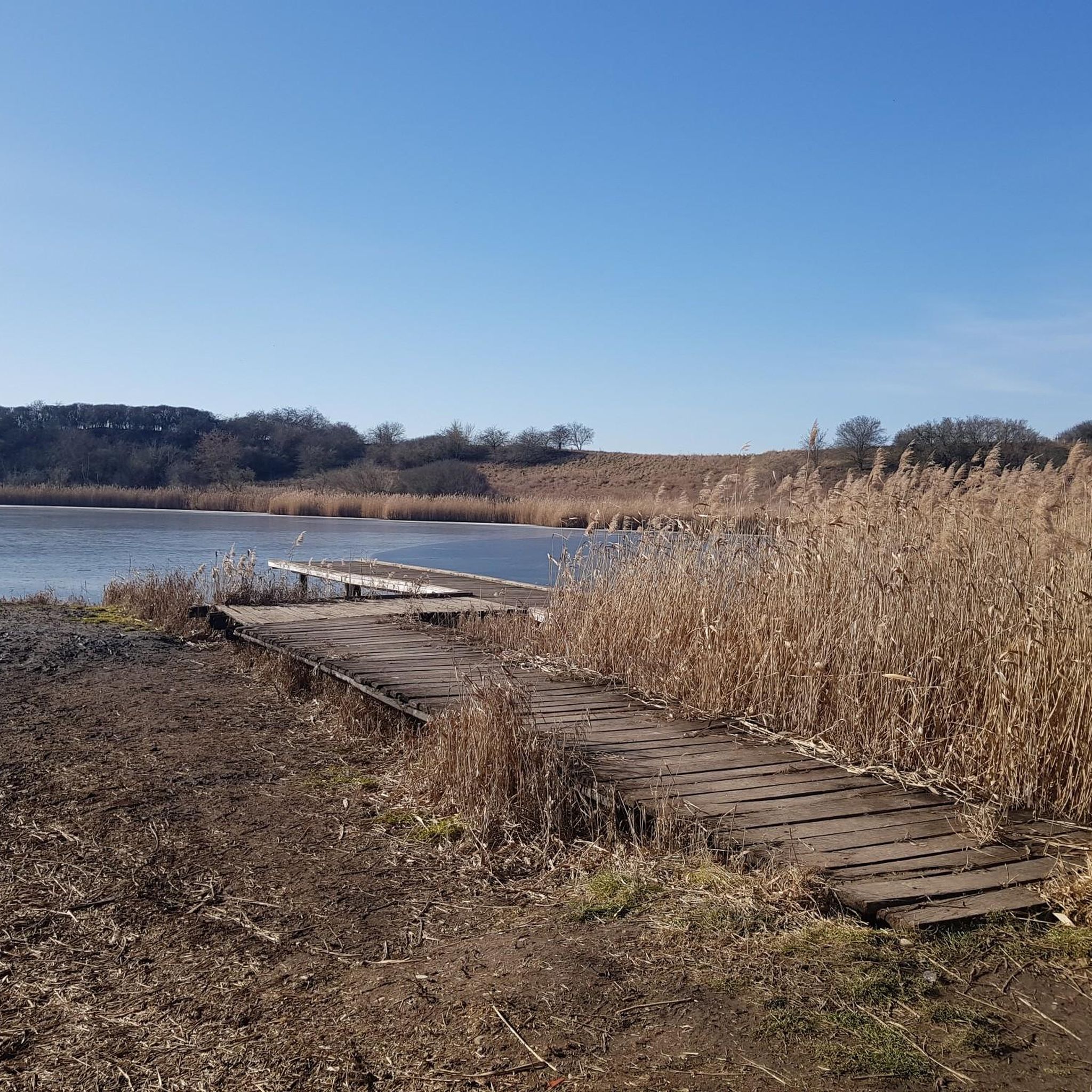
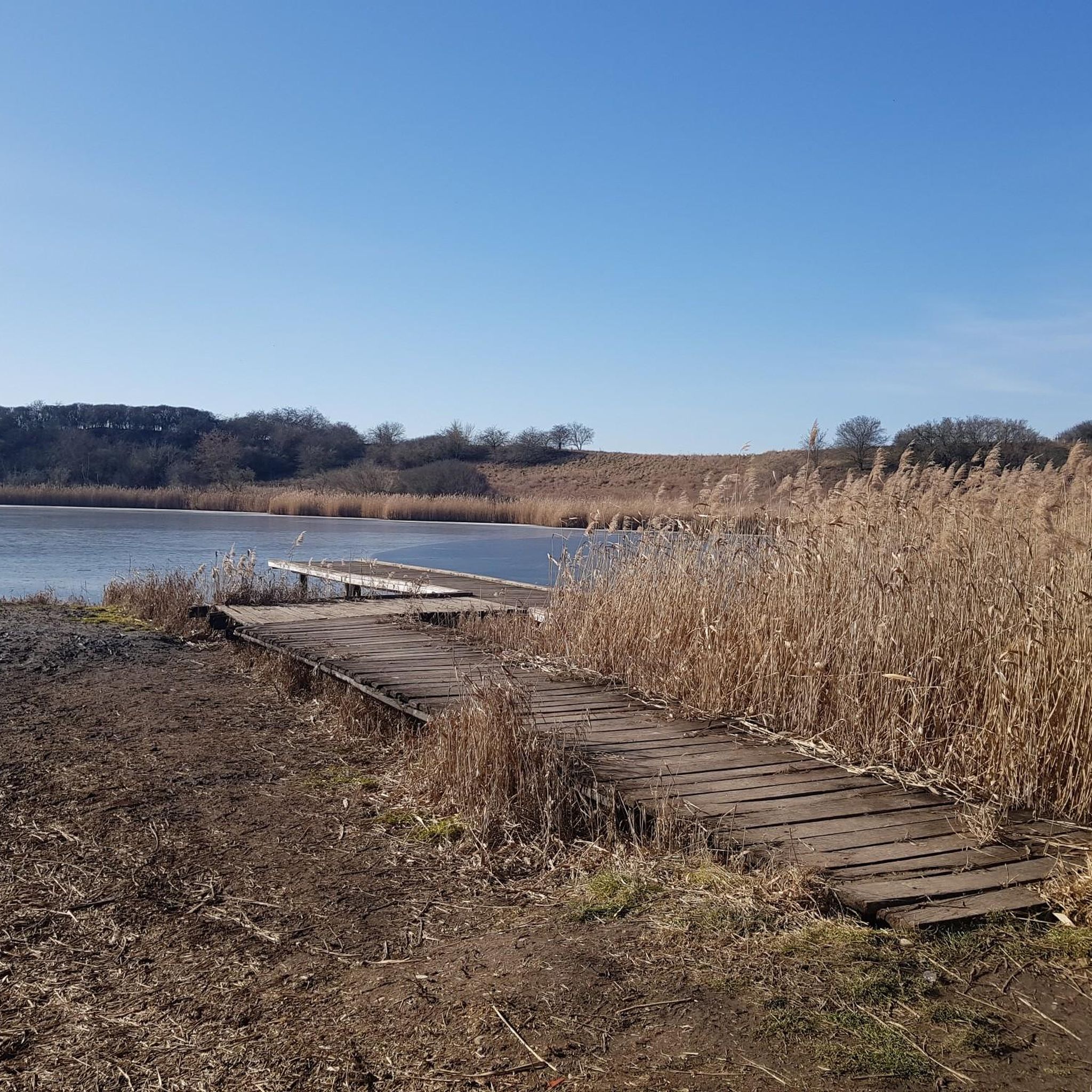
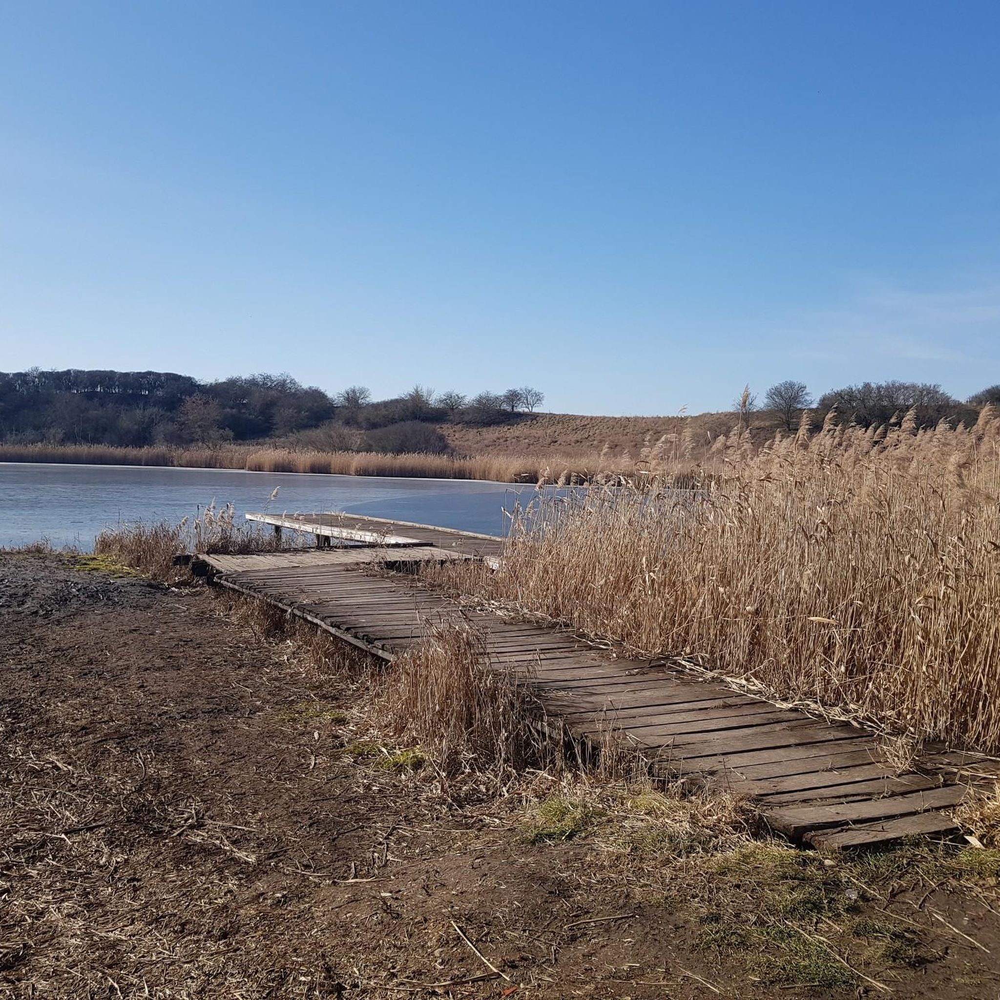
The boardwalk is beautifully laid out. There are recesses with benches in between.
5
0

The path takes you completely around the Mühlensee. Some sections are not directly on the shore, but overall it is a great circuit with beautiful views of the lake.
0
0

From the path around the Mühlensee you have a beautiful view over the flat land to the post mill near Vehlefanz.
1
0

The main cemetery in Hennigsdorf is the "Waldfriedhof" at Bötzower Weg 1. It was created in 1925 on a natural dune. The facility was planned by Berlin's first freelance landscape architect, Ludwig Lesser. During planning, the cemetery was given the character of a forest cemetery to ensure harmonious integration into the adjacent forest area. There are several notable and historically relevant memorial and burial sites in the Waldfriedhof: 1. Immediately to the right of the entrance is a memorial wall from 1987 for the victims of fascism with the inscription: "To the unforgettable fighters against fascism and war, for socialism and peace!". The sponsor and initiator of this memorial site appears to be the FIR = Fédération Internationale des Résistants (International Federation of Resistance Fighters). 2. Somewhat hidden next to the chapel is a memorial stone for the anti-fascist resistance fighters Klara Schabbel, Heinz Bartsch, Leo Krapf, Kurt Weissmann and Willi Qualitz. The stone bears the inscription: "To the unforgettable fighters against fascism and war!" 3. In the middle of the cemetery is the memorial site for the victims of World War II with a large wooden cross and a memorial stone with a plaque bearing the names of the victims. 4. Near the middle entrance from Bötzower Weg, in grave field 5, there is a memorial for anti-fascist resistance fighters from foreign nations and Italian casualties.
0
0

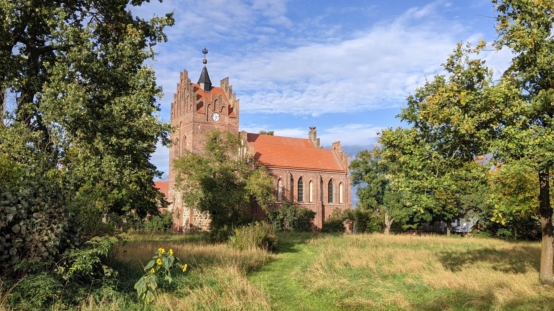
Towards the end of the 12th century, the Christianization of the Hevellerland was consistently pushed forward under Albert the Bear. This also gave the village its first church. A medieval fieldstone building forms the foundations of the masonry. The tower is also made of massive fieldstone blocks up to half its height. The fieldstone walls were plastered in the first half of the 18th century. The church's current appearance was created through renovations and extensions after the Thirty Years' War.
4
0
Frequently Asked Questions
How many running routes can I find in Oberkrämer?
Komoot offers over 60 diverse running routes in the Oberkrämer region. These trails traverse a varied landscape of lakes, meadows, and forests, providing options for all preferences.
What kind of terrain can I expect on jogging trails in Oberkrämer?
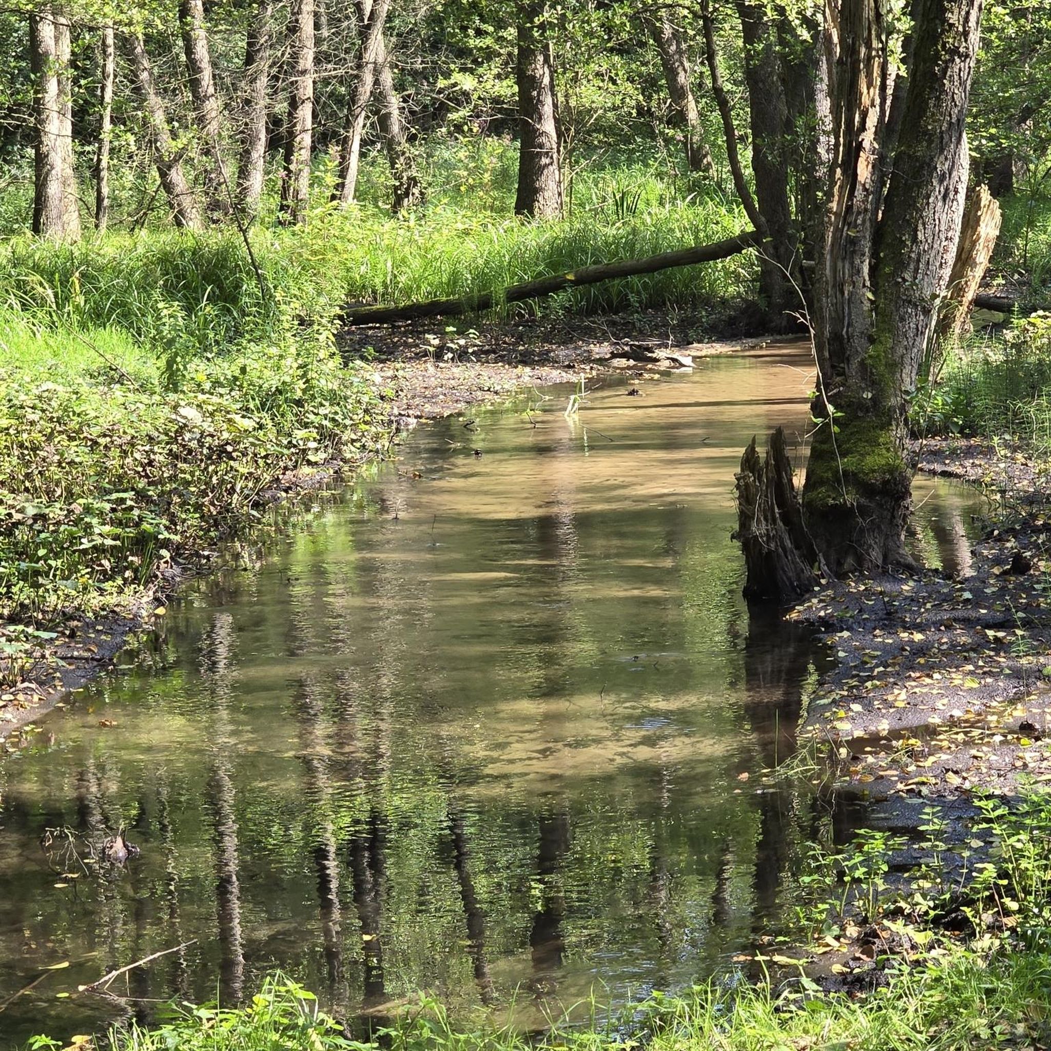
Jogging routes in Oberkrämer feature a diverse terrain, from the bright fields of the moraine to olive-green meadows and pastures of the glacial valley. You'll also find paths through dense woodlands like the Krämer Forst Regional Park and varied relief in areas such as the Vehlefanzer Schweiz. Many routes are relatively flat, making them suitable for various fitness levels.
Are there any easy running routes suitable for beginners or a relaxed jog?
Yes, Oberkrämer offers several easy running routes. Out of the 61 available routes, 5 are specifically rated as easy, perfect for beginners or those looking for a more relaxed pace. The region's generally flat landscape contributes to many accessible options.
Can I find circular running routes in Oberkrämer?
Absolutely. Many of the running routes in Oberkrämer are designed as loops, allowing you to start and finish in the same location. For example, the popular Mühlensee Vehlefanz Boardwalk – Boardwalk at Mühlensee loop from Vehlefanz is a scenic circular trail around Mühlensee.
What are some scenic highlights or attractions I might see along the running routes?
Oberkrämer's running routes often pass by picturesque natural features and points of interest. You can enjoy views of various lakes, such as Mühlensee, or explore the dense forests of Krämer Forst. Some routes might even take you near attractions like Tegeler Lake or Lake Briese, offering beautiful waterside scenery.
Are there running trails in Oberkrämer that are suitable for families?
Yes, many of Oberkrämer's trails are family-friendly, especially the easier and moderate routes that feature relatively flat terrain and scenic surroundings. The extensive network of paths through forests and around lakes provides safe and enjoyable options for families to jog together.
Are dogs allowed on the running trails in Oberkrämer?
Generally, dogs are welcome on most public trails in Oberkrämer, especially within the Krämer Forst Regional Park and other forest areas, provided they are kept on a leash. It's always a good idea to check local signage for specific regulations in nature reserves like Naturschutzgebiet Briesetal.
What is the best time of year to go jogging in Oberkrämer?
Oberkrämer is suitable for jogging year-round, but spring and autumn offer particularly pleasant conditions with mild temperatures and beautiful scenery. In spring, you'll see nature awakening, while autumn brings vibrant foliage to the forests. Summer mornings and evenings are also ideal to avoid the midday heat.
Are there running routes accessible by public transport in Oberkrämer?
While many routes are best accessed by car, several starting points for running trails in Oberkrämer are reachable via local public transport. It's recommended to check local bus schedules and connections to specific trailheads, especially for routes near larger villages like Vehlefanz or Bötzow.
Are there any long-distance running options or connections to larger trail networks?
Yes, Oberkrämer is home to sections of the renowned 66 Lakes Hiking Trail (66-Seen-Weg), which is recognized as one of Brandenburg's primary hiking routes. This trail offers excellent opportunities for longer runs and exploring the broader surroundings, providing a significant draw for endurance runners.
What do other runners say about the jogging routes in Oberkrämer?
The running routes in Oberkrämer are highly rated by the komoot community, boasting an impressive average score of 4.7 stars from over 80 reviews. Runners frequently praise the diverse and accessible natural landscapes, the well-maintained trails, and the peaceful atmosphere found within areas like Krämer Forst and around the various lakes.
Where can I find parking for the running trails?
Many popular trailheads in Oberkrämer, especially those near lakes or forest entrances, offer designated parking areas. For instance, routes around Mühlensee or starting from villages like Vehlefanz often have convenient parking options nearby, making access straightforward for runners arriving by car.
Most popular routes around Oberkrämer
Most popular attractions around Oberkrämer

Get inspired with the komoot mobile app


Explore more
Browse the best Running Trails & Routes in other regions.
