The best walks and hikes around Ballindoalty
4.7
(246)
1,815
hikers
84
hikes
Hiking around Ballindoalty offers access to a diverse landscape in County Down, Northern Ireland. The region is characterized by its proximity to the granite Mourne Mountains and the Cooley Mountains, including Slieve Foye. Carlingford Lough provides scenic waterside vistas, while Rostrevor Forest features trails through dense woodlands. This combination of mountain ranges, a sea lough, and forests creates varied terrain for outdoor activities.
Best hiking trails around Ballindoalty
- The most popular hiking route is Slieve Foye & Barnevave loop from…
Last updated: June 27, 2026
4.8
(6)
33
hikers
15.4km
05:26
780m
780m
Hard hike. Very good fitness required. Mostly accessible paths. Sure-footedness required.
4.6
(11)
44
hikers
11.9km
03:33
370m
370m
Moderate hike. Good fitness required. Easily-accessible paths. Suitable for all skill levels.

Sign up for free
4.0
(3)
22
hikers
7.94km
02:44
430m
430m
Moderate hike. Good fitness required. Easily-accessible paths. Suitable for all skill levels.
4.8
(5)
17
hikers
12.9km
04:10
540m
530m
Moderate hike. Good fitness required. Easily-accessible paths. Suitable for all skill levels.
4.2
(6)
14
hikers
3.51km
01:13
200m
190m
Easy hike. Great for any fitness level. Easily-accessible paths. Suitable for all skill levels.
Get access to more routes and recommendations from other explorers.
Sign up for free
Already have an account?
Our route recommendations are based on thousands of hikes, rides, and runs completed by other people on komoot.
Start today with a free account
Your next adventure awaits.
Login or Signup



Tips from the Community

The hike to the Cloghmór Stone feels like a journey through time. Over 10,000 years ago, the ice brought this massive granite block from Scotland here, and now, weighing an estimated 50 tons, it towers majestically over the landscape. But it's not just the geology that's fascinating - according to legend, it was the giant Finn McCool who threw this enormous stone over Carlingford Lough. To be honest, the legend is a much more exciting explanation, isn't it? Once you've reached the top, you'll not only be greeted by the imposing boulder, but also by a fantastic view of Carlingford Lough and the surrounding hills. It's the perfect place to pause for a moment, take in the vastness and enjoy the peace that this place exudes.
0
0

Here it is worth climbing the mountain
0
2

Wikipedia (Slieve Foy (Irish: Sliabh Feá), 2023-12-02): https://en.m.wikipedia.org/wiki/Slieve_Foy Wikipedia (Lists of mountains in Ireland, 2023-12-02): https://en.m.wikipedia.org/wiki/Lists_of_mountains_in_Ireland MountainViews.ie (Slieve Foye, 2023-12-02): https://mountainviews.ie/summit/298/ TheIrishRoadtrip (“A Guide To The Slieve Foye Loop: Trail, Parking + Handy Info”, 2023-12-02): https://www.theirishroadtrip.com/slieve-foye-loop/
2
1
Wikipedia (Cooley Mountains, 2024-07-28): https://en.m.wikipedia.org/wiki/Cooley_Mountains "... Barnavave (350m). This latter name comes from Bearna Mhéabha (Maeve's Gap), and refers to the legendary Queen Medb (Maeve), whose army is said to have dug a pass through the mountain. ..."
1
0

A beautiful round stone, there is a legend about it but unfortunately we could not find out
0
0
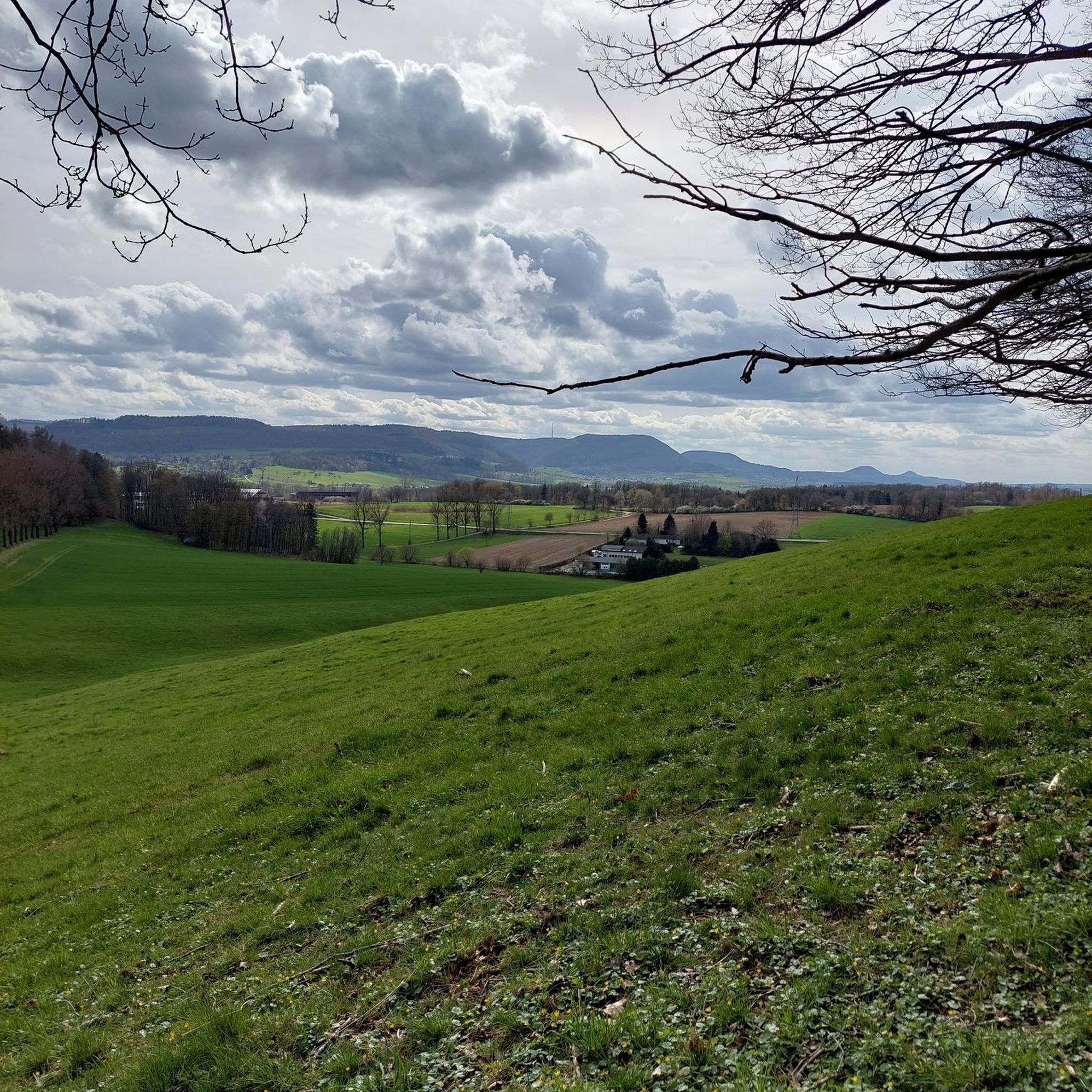
A beautiful forest with good views of the sea
0
0
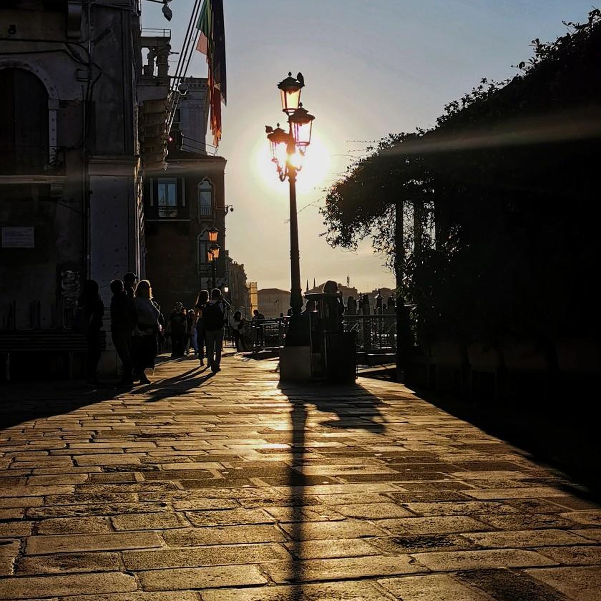
Designated viewpoint, with a nice bench to relax
0
0

A beautiful secluded clearing in the Oak forest. The message on the bench is pretty apt for any trail runners who have slogged up the hill!
1
0
Frequently Asked Questions
How many hiking trails are available around Ballindoalty?
There are over 80 hiking routes around Ballindoalty, offering a wide range of options for different skill levels and preferences. You'll find everything from easy strolls to challenging mountain ascents.
Are there easy hiking trails suitable for beginners or families in Ballindoalty?
Yes, Ballindoalty offers around 40 easy hiking trails. A great option for a more relaxed walk is the Cloughmore Trail in Rostrevor Forest, which is 3.5 km long and takes about 1 hour 12 minutes to complete. This trail is generally well-defined and suitable for those with good basic fitness.
What kind of terrain can I expect on hikes around Ballindoalty?
The region around Ballindoalty features diverse terrain. You can expect everything from the dramatic granite landscapes of the Mourne Mountains to the undulating hills of the Cooley Mountains, scenic waterside paths along Carlingford Lough, and dense woodlands within Rostrevor Forest. Some sections, especially in the mountains, can be technical or slippery in wet conditions.
Are there any circular walks in the Ballindoalty area?
Yes, many routes in the Ballindoalty area are circular. For example, the challenging Slieve Foye & Barnevave loop from Carlingford is a circular route, as is the moderate Slievemeen, Slievemeel & Slievemartin loop — Mourne, offering varied scenery.
What are some scenic viewpoints or landmarks I can see on a hike?
The region is rich in scenic viewpoints. Many trails offer panoramic views of the Mourne and Cooley Mountains, as well as Carlingford Lough. Notable landmarks include the Cloughmore Stone, a glacial erratic in Rostrevor Forest, and the Slieve Foye Summit, which provides extensive views across the Irish countryside and Carlingford Lough.
What do other hikers enjoy most about hiking in Ballindoalty?
The hiking trails around Ballindoalty are highly rated by the komoot community, with an average score of 4.7 stars from over 230 reviews. Hikers often praise the diverse landscapes, from dramatic mountain views to tranquil forest paths and scenic lough vistas, as well as the variety of routes available for all fitness levels.
Are there any challenging hikes for experienced hikers?
Absolutely. For experienced hikers, the Slieve Foye & Barnevave loop from Carlingford is a challenging 15.4 km route that ascends Slieve Foye, requiring good fitness and offering extensive views. There are 7 difficult routes in total for those seeking a greater challenge.
What is the best time of year to hike around Ballindoalty?
While hiking is possible year-round, spring and autumn often offer the most pleasant conditions with milder temperatures and beautiful scenery. Summer provides longer daylight hours, but trails can be busier. Winter hikes are possible, but some sections may be technical or slippery, requiring appropriate gear and caution.
Are there any moderate trails for hikers looking for a balanced experience?
Yes, Ballindoalty has about 37 moderate trails. The Fallows Trail, at 11.9 km, offers varied terrain and a balanced hiking experience. Another popular moderate option is the Rostrevor Forest Slievemartin Trail — Mourne, which guides you through beautiful forest settings with scenic overlooks.
What kind of natural features define the hiking experience in this region?
The hiking experience around Ballindoalty is defined by its proximity to the majestic Mourne and Cooley Mountains, the picturesque Carlingford Lough, and the dense woodlands of Rostrevor Forest. This combination provides a rich variety of landscapes, from rugged mountain paths to serene waterside trails and shaded forest walks.
Are there any specific peaks or summits accessible for hikers?
Yes, the region offers access to several notable peaks. Hikers can ascend to the Slieve Foye Summit, which is the highest point in the Cooley Mountains, or explore other summits like Barnavave Summit and Slievemeen Summit, all offering rewarding views.
Most popular attractions around Ballindoalty

Get inspired with the komoot mobile app


Explore more
Browse the best Hikes in other regions.
