The best mountain hikes in Landkreis Amberg-Sulzbach
4.8
(130)
637
hikers
23
hikes
Mountaineering in Landkreis Amberg-Sulzbach is characterized by its diverse geological makeup, featuring impressive limestone cliffs and Mediterranean-like karst landscapes with rocky ridges. The region is home to the gentle peaks of the Jura mountains, including the Ossinger at 653 meters, and extensive forests like the Veldensteiner Forst. River valleys carved by waterways such as the Vils and Lauterach rivers also contribute to the varied terrain.
Best mountaineering routes in Landkreis Amberg-Sulzbach
- The most popular mountaineering route is Hollederer Bridge –…
Last updated: May 19, 2026
4.9
(21)
239
hikers
4.07km
01:21
110m
110m
Hard mountaineering route. Great for any fitness level. Sure-footedness, sturdy shoes and alpine experience required.
4.7
(28)
113
hikers
7.00km
02:11
210m
210m
Hard mountaineering route. Good fitness required. Sure-footedness, sturdy shoes and alpine experience required.

Sign up for free
4.8
(32)
78
hikers
8.56km
02:53
290m
290m
Hard mountaineering route. Good fitness required. Sure-footedness, sturdy shoes and alpine experience required.
4.6
(22)
63
hikers
4.55km
01:28
160m
160m
Hard mountaineering route. Great for any fitness level. Sure-footedness, sturdy shoes and alpine experience required.
4.8
(11)
42
hikers
7.98km
02:27
210m
210m
Hard mountaineering route. Good fitness required. Sure-footedness, sturdy shoes and alpine experience required.
5.0
(6)
25
hikers
4.13km
01:30
200m
200m
Hard mountaineering route. Great for any fitness level. Sure-footedness, sturdy shoes and alpine experience required.
5.0
(1)
9
hikers
4.56km
01:34
140m
140m
Hard mountaineering route. Great for any fitness level. Sure-footedness, sturdy shoes and alpine experience required.
5.0
(4)
10
hikers
6.18km
01:55
120m
120m
Hard mountaineering route. Great for any fitness level. Sure-footedness, sturdy shoes and alpine experience required.
5.0
(2)
7
hikers
5.55km
01:48
170m
170m
Hard mountaineering route. Great for any fitness level. Sure-footedness, sturdy shoes and alpine experience required.
4.0
(1)
3
hikers
15.2km
04:43
430m
430m
Hard mountaineering route. Good fitness required. Sure-footedness, sturdy shoes and alpine experience required.
Get access to more routes and recommendations from other explorers.
Sign up for free
Already have an account?
Our route recommendations are based on thousands of hikes, rides, and runs completed by other people on komoot.
Start today with a free account
Your next adventure awaits.
Login or Signup
Popular around Landkreis Amberg-Sulzbach
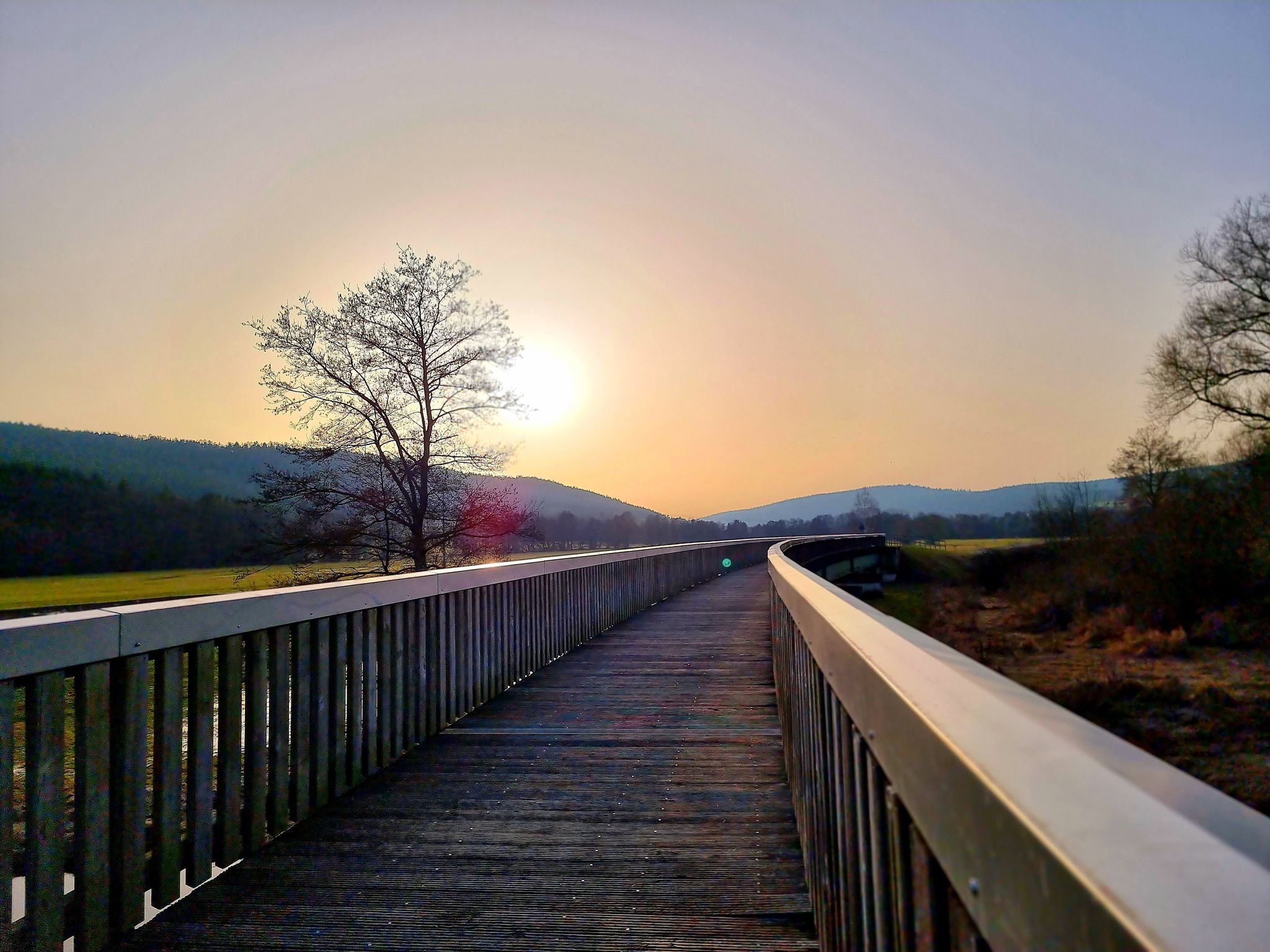
Bavaria-Bohemia long-distance cycling trail – Crossing borders
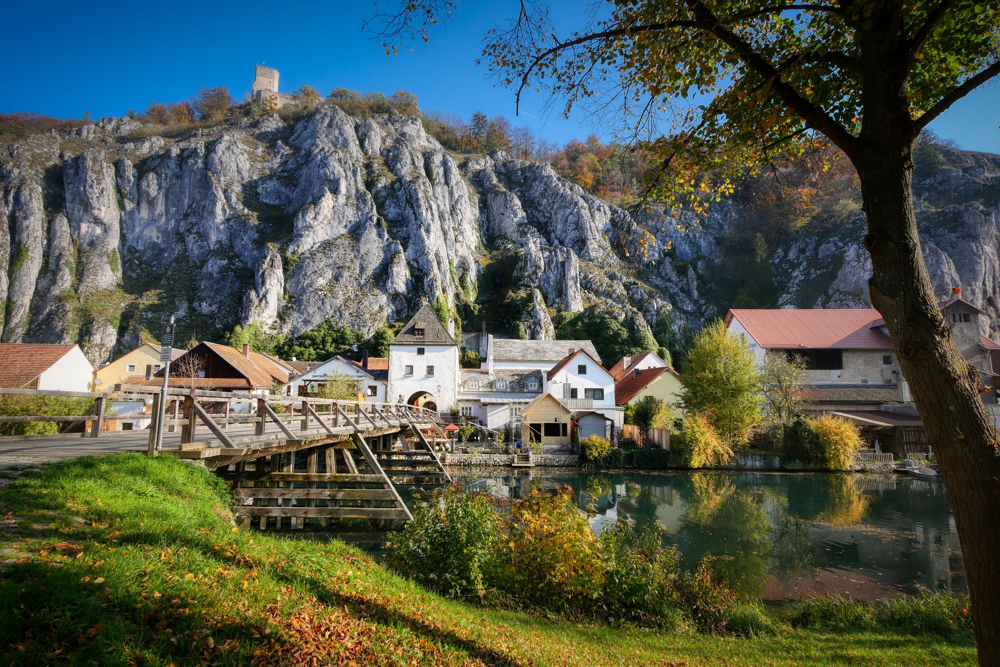
Jurasteig — hiking in the heart of Bavaria
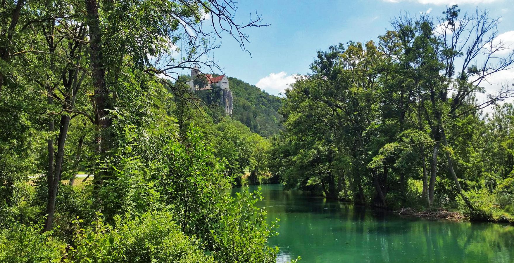
Five Rivers Cycle Path — 5 stages along Bavaria's most beautiful rivers

The National Natural Landscapes in Bavaria
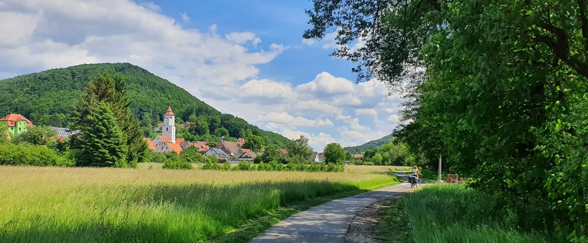
Cycling through the Nuremberg metropolitan region – nature & enjoyment
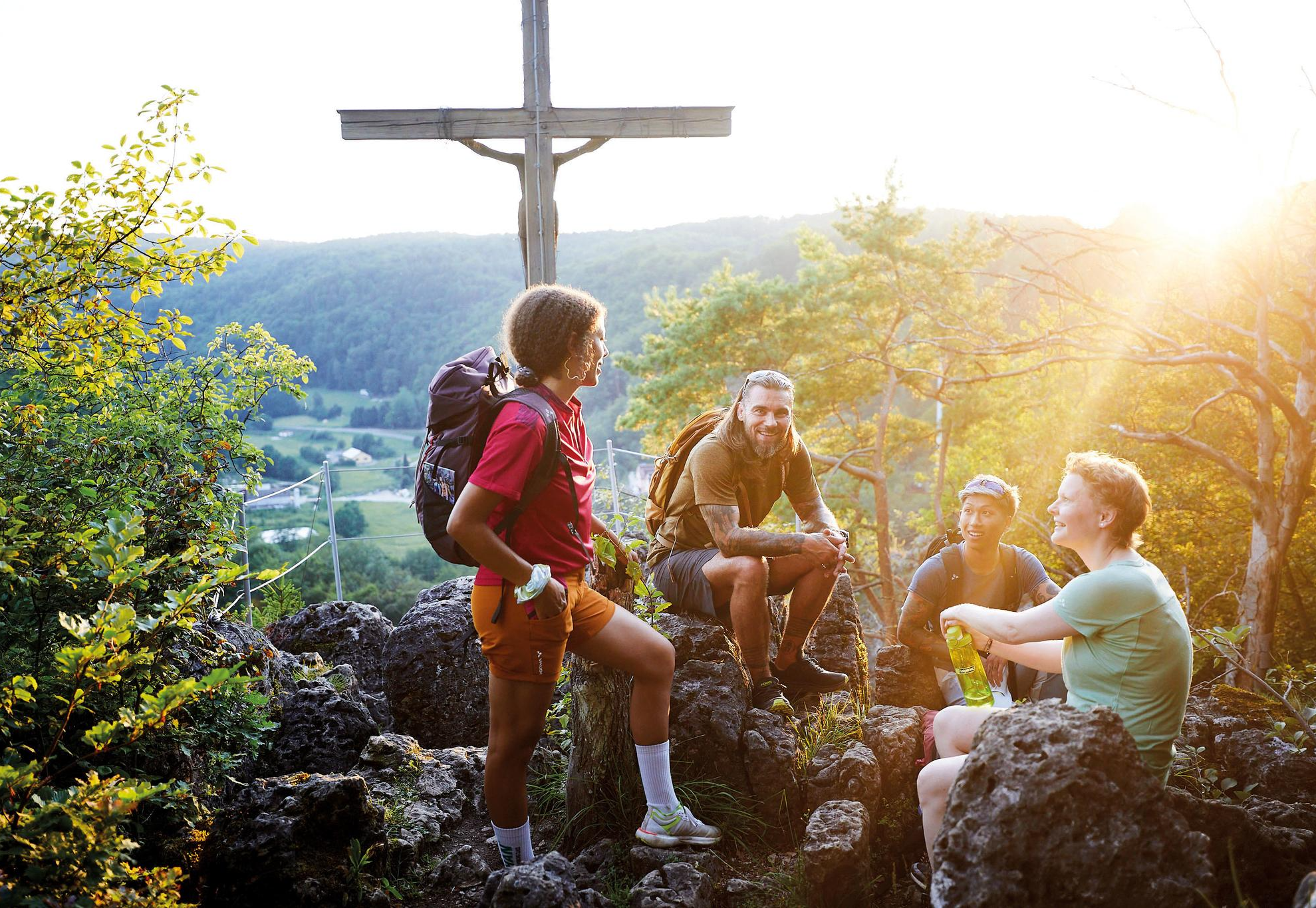
City, country, lake – VGN leisure tips 2025

Nature, the outdoors and adventure – hiking through the VGN's nature parks
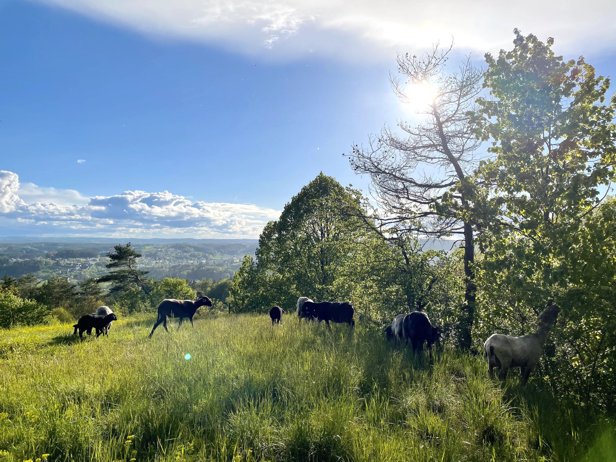
11 Days on the Erzweg Quality Hiking Trail
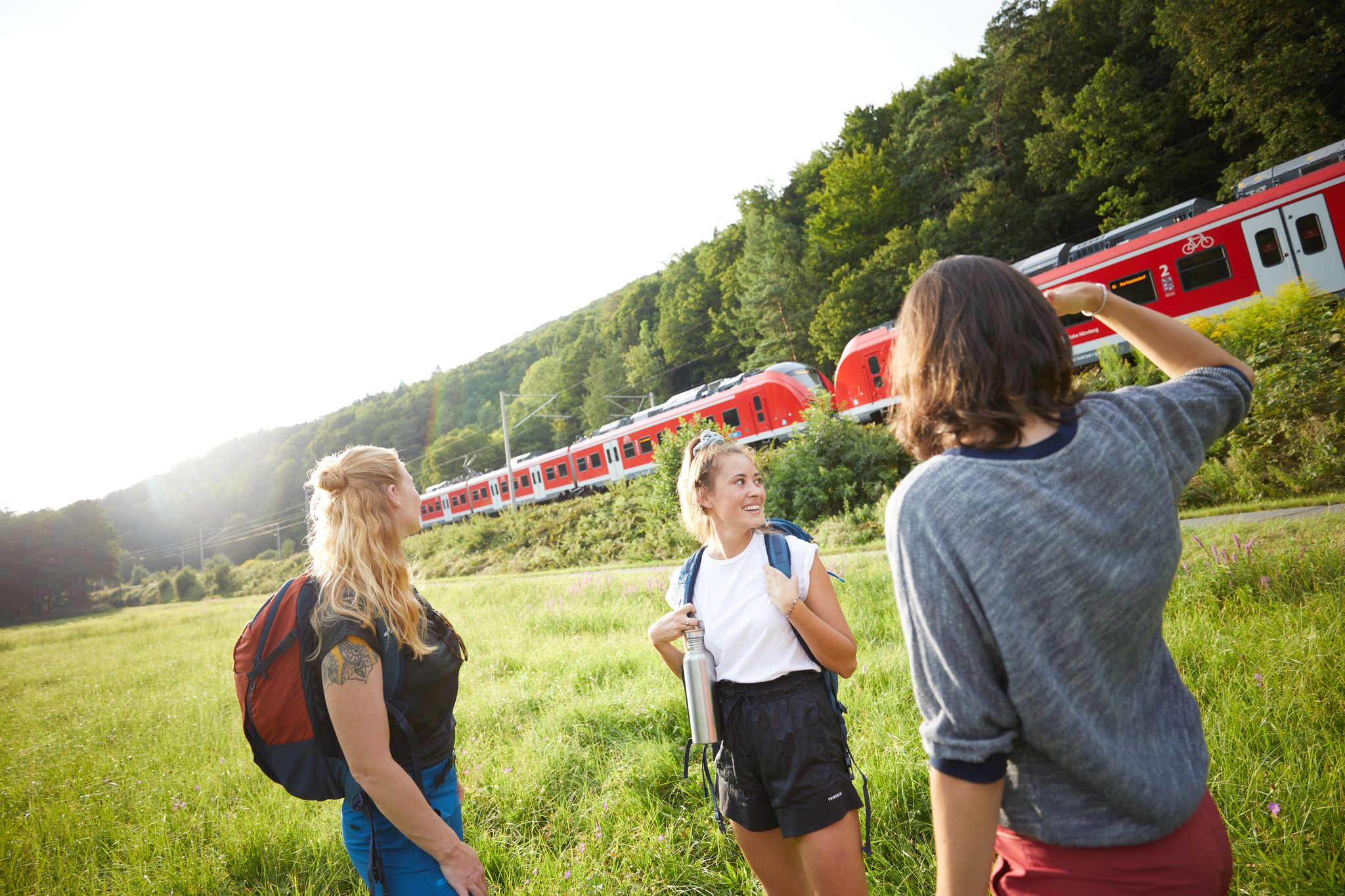
All aboard for summer hiking with Germany’s VGN
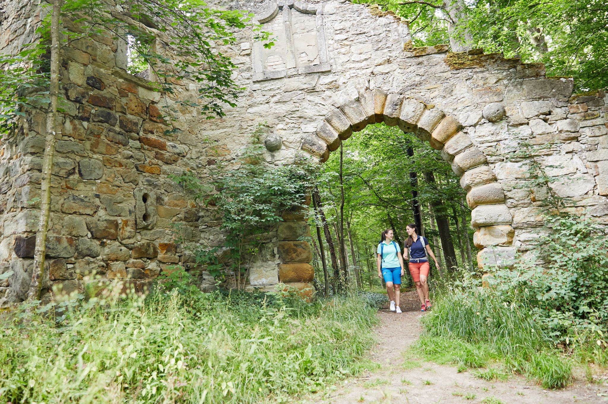
Full of views and fun – VGN leisure tips 2022
Other adventures in Landkreis Amberg-Sulzbach


Tips from the Community

Ideal introduction to the climbing day for the whole family, or also for the kids to learn. The facility is divided into three sections, which run essentially horizontally at different heights and are dedicated to different technical themes (Section I and II: Belaying, Section III: Footwork training, Hang test, Ladders). Several elements like the Nepal rope bridge and the ladders add some spice. Absolute recommendation for parents with children!
2
0
Smooth, rather unspectacular wall, which is traversed horizontally. Due to the climbing holds, it is actually consistently category A, even if the literature indicates the entry point at the bottom as B.
2
0

A beautiful climbing adventure https://www.via-ferrata.de/klettersteige/topo/norissteig - for those who want more iron in their hands, just go 1km further east to the neighboring Höhenglücksteig ;-)
0
0

magnificent view all the way to Nuremberg
0
0
only accessible with a complete via ferrata set
1
0

Via Ferrata for children: Via Ferrata Bambini and the first two stages of the Höhenglückssteig
2
0

Frequently Asked Questions
How many mountaineering routes are available in Landkreis Amberg-Sulzbach?
Landkreis Amberg-Sulzbach offers a total of 23 mountaineering routes. The majority, 20 of them, are classified as difficult, with 3 routes considered moderate. This diverse selection provides options for experienced mountaineers looking for a challenge.
What kind of terrain can I expect on mountaineering routes in Landkreis Amberg-Sulzbach?
The region is characterized by its unique geological makeup, featuring impressive limestone cliffs, Mediterranean-like karst landscapes with rocky ridges, and extensive forests. You'll encounter varied terrain, including paths through deep-cut valleys and ascents to gentle peaks of the Jura mountains. Some routes also include via ferrata sections, such as those near the Norisbrettl Via Ferrata.
Are there any family-friendly mountaineering options in Landkreis Amberg-Sulzbach?
While most mountaineering routes in Landkreis Amberg-Sulzbach are rated as difficult, there are 3 moderate routes available. For families with older children or those seeking less strenuous options, these moderate trails might be more suitable. Always check the specific route details for elevation gain and distance to ensure it matches your family's capabilities.
What are some unique natural features or landmarks I might encounter on these routes?
Landkreis Amberg-Sulzbach is rich in unique natural features. You might explore impressive limestone cliffs, karst landscapes, and even caves. Notable highlights include the Mystery Grotto and the Prellstein Rock Formation. The region is also home to the Ossinger, offering panoramic views from its observation tower, and the Buchberg summit.
Are there any routes that include via ferratas?
Yes, the region is known for its climbing opportunities, including via ferratas. Routes like the Noristörl Rock Arch – Norisbrettl Via Ferrata loop from Vorra and the Norisbrettl Via Ferrata – Noristörl Rock Arch loop from Hirschbach incorporate sections of via ferrata, offering an exciting challenge for experienced mountaineers.
What do other mountaineers say about the routes in Landkreis Amberg-Sulzbach?
The routes in Landkreis Amberg-Sulzbach are highly rated by the komoot community, with an average score of 4.8 stars from over 100 reviews. Mountaineers often praise the varied terrain, the impressive rock formations, and the challenging nature of the trails. Over 600 mountaineers have used komoot to explore this region.
Can I find routes with panoramic views?
Absolutely. The region's gentle peaks, such as the Ossinger and Buchberg, offer excellent opportunities for panoramic views. Routes like the Hollederer Bridge – Luginsland Summit View loop from Hirschbach are specifically highlighted for their varied terrain and panoramic vistas.
Are there any circular mountaineering routes available?
Many of the mountaineering routes in Landkreis Amberg-Sulzbach are designed as loops, allowing you to start and end at the same point. Examples include the Noristörl Rock Arch – Norisbrettl Via Ferrata loop from Vorra and the Franke Chimney – Luginsland Summit View loop from Hirschbach, providing convenient options for your adventure.
What is the best time of year for mountaineering in this region?
The Bavarian Jura, where Landkreis Amberg-Sulzbach is located, is generally suitable for mountaineering from spring through autumn. The varied landscapes and forests are particularly beautiful during these seasons. While winter mountaineering is possible, it requires specific gear and awareness of conditions, as some areas might be challenging due to snow or ice.
Are there any caves to explore near the mountaineering trails?
Yes, the area is rich in caves and grottos. You can find highlights such as the Vogelherd Grotto, Mystery Grotto, and Geiskirche Cave. Some routes, like the Höhenglücksteig via ferrata – Frankenkammer Cave loop from Neutras, even lead directly to or past these fascinating underground formations.
What is the typical difficulty level for mountaineering in Landkreis Amberg-Sulzbach?
Mountaineering in Landkreis Amberg-Sulzbach is predominantly challenging, with 20 out of 23 routes classified as difficult. These routes often feature significant elevation changes, rocky terrain, and sometimes via ferrata sections. There are also 3 moderate routes for those seeking a slightly less strenuous experience.
Most popular routes in Landkreis Amberg-Sulzbach
Most popular attractions in Landkreis Amberg-Sulzbach

Get inspired with the komoot mobile app


Explore more
Browse the best Mountain Hikes & Routes in other regions.
